-
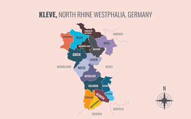
A map showing Kleve NW Kreise into Gemeinden in a minimalist colorful style
Do ulubionych favorite_border
Usuń z ulubionych favorite
-
Vector map illustration of Cornwall, England, UK, showing silhouette and outline sketch.
Do ulubionych favorite_border
Usuń z ulubionych favorite
-
Generic city transit map with colorful subway and metro lines
Do ulubionych favorite_border
Usuń z ulubionych favorite
-
Europe simple maps flat illustration
Do ulubionych favorite_border
Usuń z ulubionych favorite
-
Illustrated map showing various landmarks and activities in a city layout.
Do ulubionych favorite_border
Usuń z ulubionych favorite
-
exture carta kraft marrone riciclata con fibre naturali visibili
Do ulubionych favorite_border
Usuń z ulubionych favorite
-
Black and white topographic map background. Topographic map lines. Monochrome topographic terrain lines with space for text.
Do ulubionych favorite_border
Usuń z ulubionych favorite
-
Topography background. Vector banner. Topography map background. Topographic map lines, contour background.
Do ulubionych favorite_border
Usuń z ulubionych favorite
-
Logistics and Fast Delivery Service with Courier Truck and Worker Pushing Parcel Boxes on Hand TrolleyLogistics and Fast Delivery Service with Courier Truck and Worker Pushing Parcel Boxes on
Do ulubionych favorite_border
Usuń z ulubionych favorite
-
Kansas Counties Map with Labels – State Silhouette and County Boundaries Vector
Do ulubionych favorite_border
Usuń z ulubionych favorite
-
NEW Delhi map - Minimal Flat Vector Illustration in Black and Gray, Isolated on White Background, Ideal for Infographics, Educational Use, Reports, and Presentations.
Do ulubionych favorite_border
Usuń z ulubionych favorite
-
Topographic map pattern with wavy lines and contours on white background
Do ulubionych favorite_border
Usuń z ulubionych favorite
-
England or British or United Kingdom country map
Do ulubionych favorite_border
Usuń z ulubionych favorite
-
A richly detailed, antique-style world map with a textured, golden landmass against a deep blue, star-speckled background, featuring prominent country names and ocean labels.
Do ulubionych favorite_border
Usuń z ulubionych favorite
-
Black and white map of poland silhouette and outline vector illustration Vector
Do ulubionych favorite_border
Usuń z ulubionych favorite
-
Europe with countries Map grey
Do ulubionych favorite_border
Usuń z ulubionych favorite
-
Philadelphia City Location Pin on United States Map Silhouette
Do ulubionych favorite_border
Usuń z ulubionych favorite
-
Cartagena City Map. Minimalist black and white line art poster for printing, wallpaper, wall art, and map resources for home and office decor
Do ulubionych favorite_border
Usuń z ulubionych favorite
-
Brazil map outline and filled silhouette vector illustration icons country shape
Do ulubionych favorite_border
Usuń z ulubionych favorite
-
Futuristic digital world map of glowing blue dots or pixels across continents. Global connectivity with big data. Design for your UI backgrounds or FinTech projects. Vector illustration.
Do ulubionych favorite_border
Usuń z ulubionych favorite
-
Location pin icon illustration minimal map marker vector used for navigation apps geotag pointer for place position marking and clean destination symbol design
Do ulubionych favorite_border
Usuń z ulubionych favorite
-
Brazil map outline and silhouette with state borders
Do ulubionych favorite_border
Usuń z ulubionych favorite
-
City street map plan with roads and building blocks vector
Do ulubionych favorite_border
Usuń z ulubionych favorite
-
Romania flag on the map illustration vector with transparent
Do ulubionych favorite_border
Usuń z ulubionych favorite
-
Simple Europe map outline with country borders
Do ulubionych favorite_border
Usuń z ulubionych favorite
-
Australia map sign symbol icon set
Do ulubionych favorite_border
Usuń z ulubionych favorite
-
North America Detailed Vector Map Set: Continent, Countries, States, Provinces. Customizable Geographic Elements.
Do ulubionych favorite_border
Usuń z ulubionych favorite
-
Time address and date icon vector set featuring clock, map pin location, and calendar symbols in flat style for modern web and mobile applications
Do ulubionych favorite_border
Usuń z ulubionych favorite
-
Adobe Illustrator Artwork,Location Pin Icon Set Vector Collection with Line Outline and Filled Glyph Styles Map Marker Navigation Symbol in Black and Blue for Web App UI Travel Design
Do ulubionych favorite_border
Usuń z ulubionych favorite
-
Do ulubionych favorite_border
Usuń z ulubionych favorite
-
Colorful map of the United States of America. USA borders in a flat style isolated on white background. Vector template.
Do ulubionych favorite_border
Usuń z ulubionych favorite
-
Black and orange silhouette map of the united kingdom and ireland
Do ulubionych favorite_border
Usuń z ulubionych favorite
-
abstract golden topography background. gold topo. seamless background.Abstract mountain terrain map background with abstract shape line texture.
Do ulubionych favorite_border
Usuń z ulubionych favorite
-
Decorative london city map with famous architectural landmarks
Do ulubionych favorite_border
Usuń z ulubionych favorite
-
Young Woman Uses Software On Laptop
Do ulubionych favorite_border
Usuń z ulubionych favorite
-
Navigation route path icon set with mountain peak flag map pins and dotted travel lines for adventure journey planning
Do ulubionych favorite_border
Usuń z ulubionych favorite
-
Map pin icon. Location marker and navigation map symbol. GPS navigation, destination search and route planning concept. Travel location sign. Address, direction and place finder pictogram.
Do ulubionych favorite_border
Usuń z ulubionych favorite
-
Colorful subway network map with interconnected metro lines and station routes, fictional underground transit layout showing paths, transfers and city rail structure flat vector illustration.
Do ulubionych favorite_border
Usuń z ulubionych favorite
-
World map earth globe with dot pattern, modern 3d worldwide icon, digital halftone pixel texture, isolated global map, international business communication travel concept.
Do ulubionych favorite_border
Usuń z ulubionych favorite
-
World map with focus on Iran. The United States and Iran are on the brink of war. Political tension or crisis. Part of the world map. Middle Eastern countries are in focus. Selective focus. No people
Do ulubionych favorite_border
Usuń z ulubionych favorite
-
World map with Egypt highlighted in red global travel c
Do ulubionych favorite_border
Usuń z ulubionych favorite
-
Detailed North America Political Map with Countries and US States Outlined on Transparent Background
Do ulubionych favorite_border
Usuń z ulubionych favorite
-
Simple route map icon with location pin. Route dash line with location pin. Hand drawn curve dotted line vector set.
Do ulubionych favorite_border
Usuń z ulubionych favorite
-
Antique map of the north atlantic ocean dated 1699 featuring vintage cartography with compass roses, nautical lines, and aged parchment paper texture
Do ulubionych favorite_border
Usuń z ulubionych favorite
-
Isolated black vector silhouette outline of the United States map showing country borders and geography of the USA nation land shape on a white background
Do ulubionych favorite_border
Usuń z ulubionych favorite
-
Paris metro line map with all the lines and without the name of stations.
Do ulubionych favorite_border
Usuń z ulubionych favorite
-
A digital blue world map illustrating global connections and network routes between major cities and continents, symbolizing international communication and data flow.
Do ulubionych favorite_border
Usuń z ulubionych favorite
-
Sri Lanka Administrative Map Silhouette and Colorful District Vector
Do ulubionych favorite_border
Usuń z ulubionych favorite
-
Blue glowing linear world map concept. Abstract neon lined globe worldmap for poster, banner, brochure, flyer, booklet, presentation. Curved line continent infographics wallpaper. Vector illustration
Do ulubionych favorite_border
Usuń z ulubionych favorite
-
Modern minimalist vector map of Denver, Colorado. High-quality scalable illustration of Denver city grid, downtown, and Rocky Mountains foothills for posters and urban design.
Do ulubionych favorite_border
Usuń z ulubionych favorite
-
Abstract wavy fluid background with grainy texture and neon gradient (cyan, blue, orange, red) on black. Vapor wave retro aesthetic, glowing swirl lines, heat map color palette.
Do ulubionych favorite_border
Usuń z ulubionych favorite
-
A vintage background featuring an old grunge paper texture with a blank, aged beige parchment design that evokes the look of an ancient antique world map
Do ulubionych favorite_border
Usuń z ulubionych favorite
-
Topographic contour lines grid map pattern design.topography white background and black line wireframe isoline location diagram world map texture design.geographic grid map.
Do ulubionych favorite_border
Usuń z ulubionych favorite
-
Netherlands country map black dotted silhouette vector point pattern design
Do ulubionych favorite_border
Usuń z ulubionych favorite
-
India map icon design. Editable Stroke. Isolated on white background
Do ulubionych favorite_border
Usuń z ulubionych favorite
-
Vector graphic artwork suitable for print and web containing flat detailed map of IVORY COAST
Do ulubionych favorite_border
Usuń z ulubionych favorite
-
Greenland, North Pole, Arctic Ocean. Political map with the countries around the Arctic Circle 66 degrees. US, Canada, Sweden, Norway, Finland, Denmark, Iceland, Ireland, UK, Russia. Vector
Do ulubionych favorite_border
Usuń z ulubionych favorite
-
Bulgaria map detailed in outline, grey color, dotted style.
Do ulubionych favorite_border
Usuń z ulubionych favorite
-
Topographic map background concept
Do ulubionych favorite_border
Usuń z ulubionych favorite
-
Asia vector map southeast country, Asian east continent icon silhouette china malaysia japan
Do ulubionych favorite_border
Usuń z ulubionych favorite
-
Planet icon set. Global map. Map symbol. international earth globe icon, World globe icon, Line vector
Do ulubionych favorite_border
Usuń z ulubionych favorite
-
Flag on the map of philippines. Vintage Map and Flag of South Asia Countries Series 3D Rendering
Do ulubionych favorite_border
Usuń z ulubionych favorite
-
Political map of Ukraine in blue and yellow color
Do ulubionych favorite_border
Usuń z ulubionych favorite
-
Four colorful location pointers on a white background
Do ulubionych favorite_border
Usuń z ulubionych favorite
-
abstract pin point logo. creative map navigation vector design concept
Do ulubionych favorite_border
Usuń z ulubionych favorite
-
Set of map pin location icons. Modern map markers. Map pin place marker. Location icon. Map marker pointer icon set.
Do ulubionych favorite_border
Usuń z ulubionych favorite
-
North America country Map. Map of North America in blue color.
Do ulubionych favorite_border
Usuń z ulubionych favorite
-
benelux map set isolated on white background.netherlands Luxembourg Belgium map
Do ulubionych favorite_border
Usuń z ulubionych favorite
-
Ukraine map isolated on white background
Do ulubionych favorite_border
Usuń z ulubionych favorite
-
Detail world map with national borders, 3d render
Do ulubionych favorite_border
Usuń z ulubionych favorite
-
France map in three different styles
Do ulubionych favorite_border
Usuń z ulubionych favorite
-
Italy map with attractive landmarks illustration.vector
Do ulubionych favorite_border
Usuń z ulubionych favorite
-
World Map Vintage Vector. Detailed illustration of worldmap
Do ulubionych favorite_border
Usuń z ulubionych favorite
-
Tamil Nadu state map in orange – isolated flat vector graphic
Do ulubionych favorite_border
Usuń z ulubionych favorite
-
Line art draw simple icon fantasy kingdom map elements
Do ulubionych favorite_border
Usuń z ulubionych favorite
-
3D top view of a map with destination location point 004
Do ulubionych favorite_border
Usuń z ulubionych favorite
-
Do ulubionych favorite_border
Usuń z ulubionych favorite
-
Airplane routes set. Plane paths. Aircraft tracking, planes, travel, map pins, location pins. Vector illustration.
Do ulubionych favorite_border
Usuń z ulubionych favorite
-
Do ulubionych favorite_border
Usuń z ulubionych favorite
-
United States of America map. USA map with and without states isolated, vector
Do ulubionych favorite_border
Usuń z ulubionych favorite
-
Antique bronze emblem compass on a retro world map vintage style.
Do ulubionych favorite_border
Usuń z ulubionych favorite
-
South Korea Map 3d. National map 3D rendering set in Asia continent.
Do ulubionych favorite_border
Usuń z ulubionych favorite
-
Isometric Gps map navigation to own pin. City top view. Abstract transportation background. Track navigation pins on street maps, position pin. Vector illustration
Do ulubionych favorite_border
Usuń z ulubionych favorite
-
Vintage old paper texture vector background. Brown old sheet with stripes and compass. Antique parchment for map EPS10
Do ulubionych favorite_border
Usuń z ulubionych favorite
-
A continuous one line drawing of a google map view in an urban area. route directions and locations. Simple pins on way between two points in thin Linear style. Gps navigation and Travel concept.
Do ulubionych favorite_border
Usuń z ulubionych favorite
-
Do ulubionych favorite_border
Usuń z ulubionych favorite
-
Detailed illustration of a paper map showing a journey route with multiple red location pins markers for navigation
Do ulubionych favorite_border
Usuń z ulubionych favorite
-
outline scandinavian map icon set isolated on white background
Do ulubionych favorite_border
Usuń z ulubionych favorite
-
Map and location icon set. Navigation, GPS, direction, travel, route, destination, road, navigator icons. Thin line editable stroke vector illustrations.
Do ulubionych favorite_border
Usuń z ulubionych favorite
-
Abstract topographic lines in blue, purple and teal tones over a dark background. Texture of lines. Geodesy topographic map background. Copy space
Do ulubionych favorite_border
Usuń z ulubionych favorite
-
Monochrome city map with road network of Amsterdam
Do ulubionych favorite_border
Usuń z ulubionych favorite
-
Map of USA with state abbreviations
Do ulubionych favorite_border
Usuń z ulubionych favorite
-
World map detailed design of white color cut from paper.
Do ulubionych favorite_border
Usuń z ulubionych favorite
-
Dotted Europe map. Vector geographic map on white and Dark backgrounds. Vector concept of Europe map designed with round dots
Do ulubionych favorite_border
Usuń z ulubionych favorite
-
3D illustration of a highly detailed world map. Elements of this image furnished by NASA.
Do ulubionych favorite_border
Usuń z ulubionych favorite
-
Austria - map and flag – illustration
Do ulubionych favorite_border
Usuń z ulubionych favorite
-
World Map with Highlighted Country Borders Vector Illustration
Do ulubionych favorite_border
Usuń z ulubionych favorite
-
Global network connection. World map point and line composition concept of global business. Vector Illustration
Do ulubionych favorite_border
Usuń z ulubionych favorite
-
Europe detailed editable map with regions cities and towns, roads and railways. Vector EPS-10 file
Do ulubionych favorite_border
Usuń z ulubionych favorite
-
Business road map timeline infographic template with pointers designed for abstract background milestone modern diagram process technology digital marketing data presentation chart Vector illustration
Do ulubionych favorite_border
Usuń z ulubionych favorite
 A map showing Kleve NW Kreise into Gemeinden in a minimalist colorful stylefavorite_border favorite
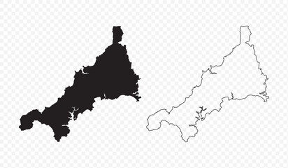 Vector map illustration of Cornwall, England, UK, showing silhouette and outline sketch.favorite_border favorite
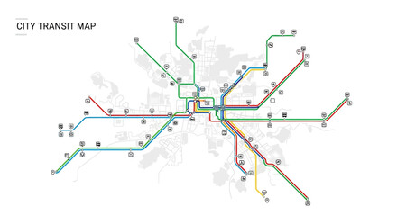 Generic city transit map with colorful subway and metro linesfavorite_border favorite
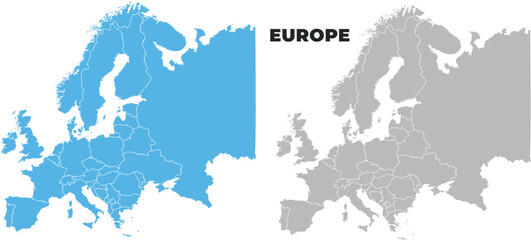 Europe simple maps flat illustrationfavorite_border favorite
 Illustrated map showing various landmarks and activities in a city layout.favorite_border favorite
 exture carta kraft marrone riciclata con fibre naturali visibilifavorite_border favorite
 Black and white topographic map background. Topographic map lines. Monochrome topographic terrain lines with space for text.favorite_border favorite
 Topography background. Vector banner. Topography map background. Topographic map lines, contour background.favorite_border favorite
 Logistics and Fast Delivery Service with Courier Truck and Worker Pushing Parcel Boxes on Hand TrolleyLogistics and Fast Delivery Service with Courier Truck and Worker Pushing Parcel Boxes onfavorite_border favorite
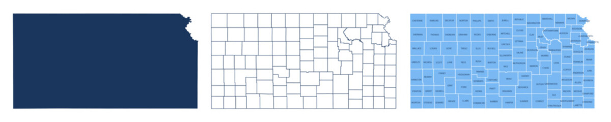 Kansas Counties Map with Labels – State Silhouette and County Boundaries Vectorfavorite_border favorite
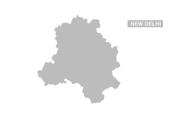 NEW Delhi map - Minimal Flat Vector Illustration in Black and Gray, Isolated on White Background, Ideal for Infographics, Educational Use, Reports, and Presentations.favorite_border favorite
 Topographic map pattern with wavy lines and contours on white backgroundfavorite_border favorite
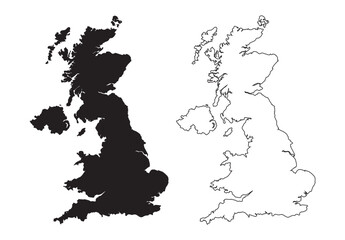 England or British or United Kingdom country mapfavorite_border favorite
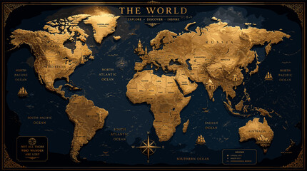 A richly detailed, antique-style world map with a textured, golden landmass against a deep blue, star-speckled background, featuring prominent country names and ocean labels.favorite_border favorite
 Black and white map of poland silhouette and outline vector illustration Vectorfavorite_border favorite
 Europe with countries Map greyfavorite_border favorite
 Philadelphia City Location Pin on United States Map Silhouettefavorite_border favorite
 Cartagena City Map. Minimalist black and white line art poster for printing, wallpaper, wall art, and map resources for home and office decorfavorite_border favorite
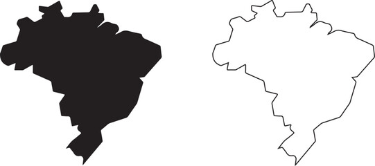 Brazil map outline and filled silhouette vector illustration icons country shapefavorite_border favorite
 Futuristic digital world map of glowing blue dots or pixels across continents. Global connectivity with big data. Design for your UI backgrounds or FinTech projects. Vector illustration.favorite_border favorite
 Location pin icon illustration minimal map marker vector used for navigation apps geotag pointer for place position marking and clean destination symbol designfavorite_border favorite
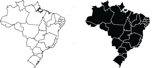 Brazil map outline and silhouette with state bordersfavorite_border favorite
 City street map plan with roads and building blocks vectorfavorite_border favorite
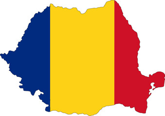 Romania flag on the map illustration vector with transparentfavorite_border favorite
 Simple Europe map outline with country bordersfavorite_border favorite
 Australia map sign symbol icon setfavorite_border favorite
 North America Detailed Vector Map Set: Continent, Countries, States, Provinces. Customizable Geographic Elements.favorite_border favorite
 Time address and date icon vector set featuring clock, map pin location, and calendar symbols in flat style for modern web and mobile applicationsfavorite_border favorite
 Adobe Illustrator Artwork,Location Pin Icon Set Vector Collection with Line Outline and Filled Glyph Styles Map Marker Navigation Symbol in Black and Blue for Web App UI Travel Designfavorite_border favorite
 World map illustrationfavorite_border favorite
 Colorful map of the United States of America. USA borders in a flat style isolated on white background. Vector template.favorite_border favorite
 Black and orange silhouette map of the united kingdom and irelandfavorite_border favorite
 abstract golden topography background. gold topo. seamless background.Abstract mountain terrain map background with abstract shape line texture.favorite_border favorite
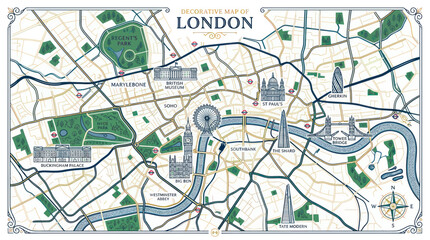 Decorative london city map with famous architectural landmarksfavorite_border favorite
 Young Woman Uses Software On Laptopfavorite_border favorite
 Navigation route path icon set with mountain peak flag map pins and dotted travel lines for adventure journey planningfavorite_border favorite
 Map pin icon. Location marker and navigation map symbol. GPS navigation, destination search and route planning concept. Travel location sign. Address, direction and place finder pictogram.favorite_border favorite
 Colorful subway network map with interconnected metro lines and station routes, fictional underground transit layout showing paths, transfers and city rail structure flat vector illustration.favorite_border favorite
 World map earth globe with dot pattern, modern 3d worldwide icon, digital halftone pixel texture, isolated global map, international business communication travel concept.favorite_border favorite
 World map with focus on Iran. The United States and Iran are on the brink of war. Political tension or crisis. Part of the world map. Middle Eastern countries are in focus. Selective focus. No peoplefavorite_border favorite
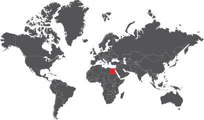 World map with Egypt highlighted in red global travel cfavorite_border favorite
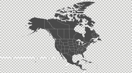 Detailed North America Political Map with Countries and US States Outlined on Transparent Backgroundfavorite_border favorite
 Simple route map icon with location pin. Route dash line with location pin. Hand drawn curve dotted line vector set.favorite_border favorite
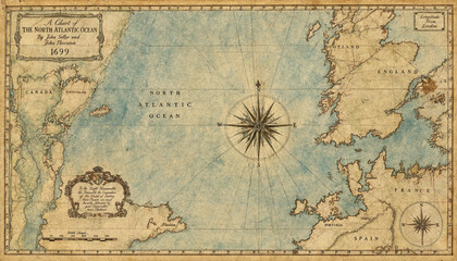 Antique map of the north atlantic ocean dated 1699 featuring vintage cartography with compass roses, nautical lines, and aged parchment paper texturefavorite_border favorite
 Isolated black vector silhouette outline of the United States map showing country borders and geography of the USA nation land shape on a white backgroundfavorite_border favorite
 Paris metro line map with all the lines and without the name of stations.favorite_border favorite
 A digital blue world map illustrating global connections and network routes between major cities and continents, symbolizing international communication and data flow.favorite_border favorite
 Sri Lanka Administrative Map Silhouette and Colorful District Vectorfavorite_border favorite
 Blue glowing linear world map concept. Abstract neon lined globe worldmap for poster, banner, brochure, flyer, booklet, presentation. Curved line continent infographics wallpaper. Vector illustrationfavorite_border favorite
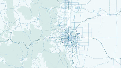 Modern minimalist vector map of Denver, Colorado. High-quality scalable illustration of Denver city grid, downtown, and Rocky Mountains foothills for posters and urban design.favorite_border favorite
 Abstract wavy fluid background with grainy texture and neon gradient (cyan, blue, orange, red) on black. Vapor wave retro aesthetic, glowing swirl lines, heat map color palette.favorite_border favorite
 A vintage background featuring an old grunge paper texture with a blank, aged beige parchment design that evokes the look of an ancient antique world mapfavorite_border favorite
 Topographic contour lines grid map pattern design.topography white background and black line wireframe isoline location diagram world map texture design.geographic grid map.favorite_border favorite
 Netherlands country map black dotted silhouette vector point pattern designfavorite_border favorite
 India map icon design. Editable Stroke. Isolated on white backgroundfavorite_border favorite
 Vector graphic artwork suitable for print and web containing flat detailed map of IVORY COASTfavorite_border favorite
 Greenland, North Pole, Arctic Ocean. Political map with the countries around the Arctic Circle 66 degrees. US, Canada, Sweden, Norway, Finland, Denmark, Iceland, Ireland, UK, Russia. Vectorfavorite_border favorite
 Bulgaria map detailed in outline, grey color, dotted style.favorite_border favorite
 Topographic map background conceptfavorite_border favorite
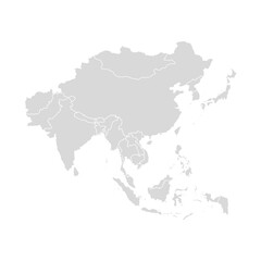 Asia vector map southeast country, Asian east continent icon silhouette china malaysia japanfavorite_border favorite
 Planet icon set. Global map. Map symbol. international earth globe icon, World globe icon, Line vectorfavorite_border favorite
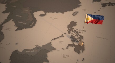 Flag on the map of philippines. Vintage Map and Flag of South Asia Countries Series 3D Renderingfavorite_border favorite
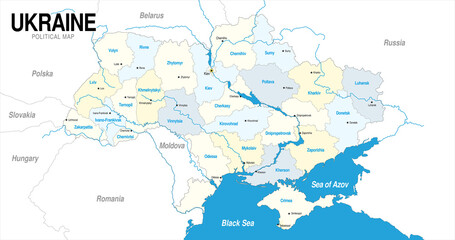 Political map of Ukraine in blue and yellow colorfavorite_border favorite
 Four colorful location pointers on a white backgroundfavorite_border favorite
 abstract pin point logo. creative map navigation vector design conceptfavorite_border favorite
 Set of map pin location icons. Modern map markers. Map pin place marker. Location icon. Map marker pointer icon set.favorite_border favorite
 North America country Map. Map of North America in blue color.favorite_border favorite
 benelux map set isolated on white background.netherlands Luxembourg Belgium mapfavorite_border favorite
 Ukraine map isolated on white backgroundfavorite_border favorite
 Detail world map with national borders, 3d renderfavorite_border favorite
 France map in three different stylesfavorite_border favorite
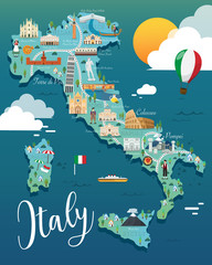 Italy map with attractive landmarks illustration.vectorfavorite_border favorite
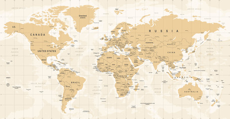 World Map Vintage Vector. Detailed illustration of worldmapfavorite_border favorite
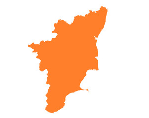 Tamil Nadu state map in orange – isolated flat vector graphicfavorite_border favorite
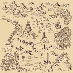 Line art draw simple icon fantasy kingdom map elementsfavorite_border favorite
 3D top view of a map with destination location point 004favorite_border favorite
 grey map of Singaporefavorite_border favorite
 Airplane routes set. Plane paths. Aircraft tracking, planes, travel, map pins, location pins. Vector illustration.favorite_border favorite
 vector map of the worldfavorite_border favorite
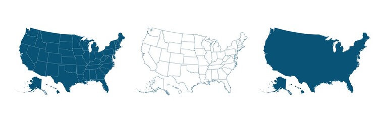 United States of America map. USA map with and without states isolated, vectorfavorite_border favorite
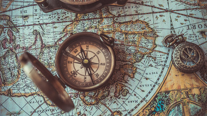 Antique bronze emblem compass on a retro world map vintage style.favorite_border favorite
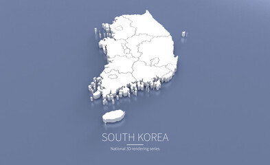 South Korea Map 3d. National map 3D rendering set in Asia continent.favorite_border favorite
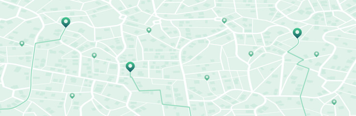 Isometric Gps map navigation to own pin. City top view. Abstract transportation background. Track navigation pins on street maps, position pin. Vector illustrationfavorite_border favorite
 Vintage old paper texture vector background. Brown old sheet with stripes and compass. Antique parchment for map EPS10favorite_border favorite
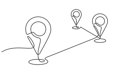 A continuous one line drawing of a google map view in an urban area. route directions and locations. Simple pins on way between two points in thin Linear style. Gps navigation and Travel concept.favorite_border favorite
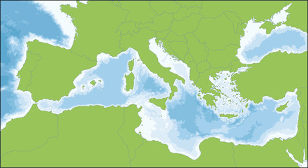 Mediterranean Sea mapfavorite_border favorite
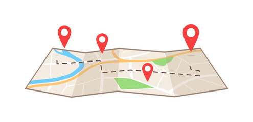 Detailed illustration of a paper map showing a journey route with multiple red location pins markers for navigationfavorite_border favorite
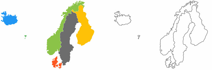 outline scandinavian map icon set isolated on white backgroundfavorite_border favorite
 Map and location icon set. Navigation, GPS, direction, travel, route, destination, road, navigator icons. Thin line editable stroke vector illustrations.favorite_border favorite
 Abstract topographic lines in blue, purple and teal tones over a dark background. Texture of lines. Geodesy topographic map background. Copy spacefavorite_border favorite
 Monochrome city map with road network of Amsterdamfavorite_border favorite
 Map of USA with state abbreviationsfavorite_border favorite
 World map detailed design of white color cut from paper.favorite_border favorite
 Dotted Europe map. Vector geographic map on white and Dark backgrounds. Vector concept of Europe map designed with round dotsfavorite_border favorite
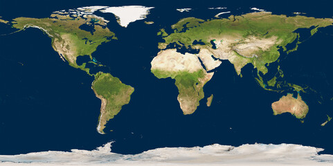 3D illustration of a highly detailed world map. Elements of this image furnished by NASA.favorite_border favorite
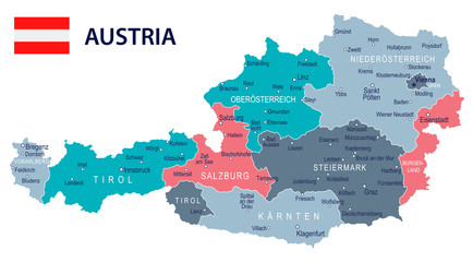 Austria - map and flag – illustrationfavorite_border favorite
 World Map with Highlighted Country Borders Vector Illustrationfavorite_border favorite
 Global network connection. World map point and line composition concept of global business. Vector Illustrationfavorite_border favorite
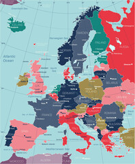 Europe detailed editable map with regions cities and towns, roads and railways. Vector EPS-10 filefavorite_border favorite
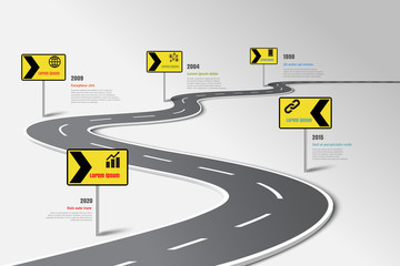 Business road map timeline infographic template with pointers designed for abstract background milestone modern diagram process technology digital marketing data presentation chart Vector illustrationfavorite_border favorite