-
Collection of outline shape of international country map in black.
Do ulubionych favorite_border
Usuń z ulubionych favorite
-
Urban vector city map of Yokohama, Japan
Do ulubionych favorite_border
Usuń z ulubionych favorite
-
grunge old paper for treasure map or vintage letter
Do ulubionych favorite_border
Usuń z ulubionych favorite
-
Do ulubionych favorite_border
Usuń z ulubionych favorite
-
jungle map with graphic elements - vector
Do ulubionych favorite_border
Usuń z ulubionych favorite
-
Curved world map silhouette, half globe of blue planet Earth, global business geography, worldwide international. Africa, Asia and America, Europe, Australia continents. Travel vector infographics
Do ulubionych favorite_border
Usuń z ulubionych favorite
-
Military conflict between Ukraine and Russia. Concept map of war. cartography design. 3d render
Do ulubionych favorite_border
Usuń z ulubionych favorite
-
Poster map of the European Union with country names and capitals. Print map of EU for web and polygraphy, on business, ecomomic, political, Brexit and geography themes. Vector Illustration
Do ulubionych favorite_border
Usuń z ulubionych favorite
-
Ancient old globe on the vintage map background. Selective focus. Retro style. Science, education, travel, vintage background. History and geography team.
Do ulubionych favorite_border
Usuń z ulubionych favorite
-
world map line art drawing design vector illustration isolated on transparent background
Do ulubionych favorite_border
Usuń z ulubionych favorite
-
Kansas vector map with county boundaries (Albers equal area conic projection, PPT-compatible & fully editable)
Do ulubionych favorite_border
Usuń z ulubionych favorite
-
Old vintage map of caribbean sea. Vector worn parchment with ships, islands and land, wind rose and cardinal points. Fantasy world, vintage grunge paper, pirate map with travel locations and monsters
Do ulubionych favorite_border
Usuń z ulubionych favorite
-
Do ulubionych favorite_border
Usuń z ulubionych favorite
-
Map of Italy plain set. Italy map blank set.
Do ulubionych favorite_border
Usuń z ulubionych favorite
-
Political map of North American countries Canada, United States of America, Mexico with administrative divisions. Central American Countries and Caribbean Region. Colorful blank map. Vector
Do ulubionych favorite_border
Usuń z ulubionych favorite
-
Pin location icon for map and navigation
Do ulubionych favorite_border
Usuń z ulubionych favorite
-
Latin America countries political map with national borders. Countries from the northern border of Mexico to the southern tip of South America, including the Caribbean. English labeling. Illustration.
Do ulubionych favorite_border
Usuń z ulubionych favorite
-
Road map and route isolated inforgraphic template
Do ulubionych favorite_border
Usuń z ulubionych favorite
-
Cartography World Map Grey with Country and Continents.
Do ulubionych favorite_border
Usuń z ulubionych favorite
-
A vibrant and clear political map of Japan, highlighting its main islands and regions with distinct colors. The map labels the major regions including Hokkaido, Tohoku, Kanto, Chubu, Kansai, Chugoku,
Do ulubionych favorite_border
Usuń z ulubionych favorite
-
World map divided into countries. Continents and oceans, africa, antarctic, asia, europe, america, australia. PNG detailed map silhouette illustration
Do ulubionych favorite_border
Usuń z ulubionych favorite
-
Blue world map on vintage paper background. watercolor style
Do ulubionych favorite_border
Usuń z ulubionych favorite
-
Spain 3d map with borders Template for your design
Do ulubionych favorite_border
Usuń z ulubionych favorite
-
Brazil silhouette map and two patterns of dots and slanted lines. Flat vector illustration isolated on white
Do ulubionych favorite_border
Usuń z ulubionych favorite
-
Panama - set of black, solid black, grey outline border map of country area. Simple flat vector illustration.
Do ulubionych favorite_border
Usuń z ulubionych favorite
-
Kraków, Poland, Black and White high resolution vector map
Do ulubionych favorite_border
Usuń z ulubionych favorite
-
a world map of Thailand, 3d rendering,
Do ulubionych favorite_border
Usuń z ulubionych favorite
-
California map vector illustration, scribble sketch California map
Do ulubionych favorite_border
Usuń z ulubionych favorite
-
Two People Looking At City Map
Do ulubionych favorite_border
Usuń z ulubionych favorite
-
Australia and New Zealand Map vector with all States and territories in blue. Similar map blank of Australia and New Zealand on white background. High quality map. EPS10.
Do ulubionych favorite_border
Usuń z ulubionych favorite
-
A collection of navigational symbols including a compass location marker direction arrow and map elements on transparent background high-quality professional
Do ulubionych favorite_border
Usuń z ulubionych favorite
-
World map point and line composition concept of global business. Global network connection. Vector Illustration Free Vector
Do ulubionych favorite_border
Usuń z ulubionych favorite
-
United States of America map. USA Map With Divided States. Outline US map.
Do ulubionych favorite_border
Usuń z ulubionych favorite
-
Prague map vector poster flyer
Do ulubionych favorite_border
Usuń z ulubionych favorite
-
Vector illustration of louisiana of usa fill, stroke with fill and dotted map
Do ulubionych favorite_border
Usuń z ulubionych favorite
-
Set of Valentine's Day cards. Festive design with hearts, line arts and modern typography. Template for ads, branding, banner, cover, label, poster print
Do ulubionych favorite_border
Usuń z ulubionych favorite
-
colombia country map border vector icon illustration
Do ulubionych favorite_border
Usuń z ulubionych favorite
-
Do ulubionych favorite_border
Usuń z ulubionych favorite
-
Do ulubionych favorite_border
Usuń z ulubionych favorite
-
United States of America map. USA map with states and state names isolated – vector
Do ulubionych favorite_border
Usuń z ulubionych favorite
-
Map of USA with all states and all counties. Light. Isolated polygons
Do ulubionych favorite_border
Usuń z ulubionych favorite
-
Curved world map silhouette with half globe blue Earth planet representing global business geography and international worldwide travel featuring all major continents in a modern vector infographic
Do ulubionych favorite_border
Usuń z ulubionych favorite
-
Collection of red map pin vector icon. Marker location icon set
Do ulubionych favorite_border
Usuń z ulubionych favorite
-
Canada political map of administrative divisions
Do ulubionych favorite_border
Usuń z ulubionych favorite
-
Children's map of the world in English. Detailed world map with the names of countries and capitals, with animals, airplanes and balloons. Children's educational photo wallpaper with the world map on
Do ulubionych favorite_border
Usuń z ulubionych favorite
-
map of the city of Indianapolis, Indiana, USA
Do ulubionych favorite_border
Usuń z ulubionych favorite
-
city map with Pin Pointers 3d rendering image
Do ulubionych favorite_border
Usuń z ulubionych favorite
-
Do ulubionych favorite_border
Usuń z ulubionych favorite
-
Illinois black map on white background vector
Do ulubionych favorite_border
Usuń z ulubionych favorite
-
Poland map outline with stars and lines abstract framework.
Do ulubionych favorite_border
Usuń z ulubionych favorite
-
Do ulubionych favorite_border
Usuń z ulubionych favorite
-
Flying airplanes world map abstract vector background - flying white airplanes routes on blue background - Air travel concept - line art illustration
Do ulubionych favorite_border
Usuń z ulubionych favorite
-
USA map land area vector with state names on black background illustration
Do ulubionych favorite_border
Usuń z ulubionych favorite
-
World map of hexagon dots, led uppercase English alphabet, vector illustration
Do ulubionych favorite_border
Usuń z ulubionych favorite
-
India dotted digital map for data visualization design
Do ulubionych favorite_border
Usuń z ulubionych favorite
-
Scalable vector map illustration of spain eps icon for general design projects
Do ulubionych favorite_border
Usuń z ulubionych favorite
-
Abstract topographic map background Vector. 21:9 wallpaper design for fabric , packaging , web, geographic grid map vector illustration.
Do ulubionych favorite_border
Usuń z ulubionych favorite
-
Vintage navigation and astronomy tools with compass, telescope, sextant, hourglass, and constellation maps
Do ulubionych favorite_border
Usuń z ulubionych favorite
-
North American continent with contours of countries. Vector drawing, vector 10 eps.
Do ulubionych favorite_border
Usuń z ulubionych favorite
-
Europe map - highly detailed vector illustration
Do ulubionych favorite_border
Usuń z ulubionych favorite
-
Latin America map digital 4k
Do ulubionych favorite_border
Usuń z ulubionych favorite
-
Locations marked with pins on world map, global communication network, closeup
Do ulubionych favorite_border
Usuń z ulubionych favorite
-
Mapa portugal com regiões e concelhos, distritos
Do ulubionych favorite_border
Usuń z ulubionych favorite
-
Montenegro political map of administrative divisions
Do ulubionych favorite_border
Usuń z ulubionych favorite
-
vector map of the South American state of Peru
Do ulubionych favorite_border
Usuń z ulubionych favorite
-
graphic vector map of ukraine. ukraine map. europe country map.
Do ulubionych favorite_border
Usuń z ulubionych favorite
-
Urban vector city map of Torun, Poland
Do ulubionych favorite_border
Usuń z ulubionych favorite
-
Rzeszow, Poland bright vector map
Do ulubionych favorite_border
Usuń z ulubionych favorite
-
Colombia map on white background vector
Do ulubionych favorite_border
Usuń z ulubionych favorite
-
Do ulubionych favorite_border
Usuń z ulubionych favorite
-
World map cork wood texture cut out on transparent background.
Do ulubionych favorite_border
Usuń z ulubionych favorite
-
Do ulubionych favorite_border
Usuń z ulubionych favorite
-
Abstract mash line and point scales on dark background with map of Brazil.3D mesh polygonal network line, design sphere, dot and structure. Vector illustration eps 10.
Do ulubionych favorite_border
Usuń z ulubionych favorite
-
black silhouette map of usa including territories and associated states with borders on white background
Do ulubionych favorite_border
Usuń z ulubionych favorite
-
Political Map of Latin America
Do ulubionych favorite_border
Usuń z ulubionych favorite
-
Blue thumbtack marking and showing destination location point on map background with copy space
Do ulubionych favorite_border
Usuń z ulubionych favorite
-
Munich map vector poster flyer
Do ulubionych favorite_border
Usuń z ulubionych favorite
-
3d isometric america USA map with region border line
Do ulubionych favorite_border
Usuń z ulubionych favorite
-
Infographic travel and landmark france map shape template design
Do ulubionych favorite_border
Usuń z ulubionych favorite
-
Canada map vector set with administrative regions in black and white, detailed country outline illustration
Do ulubionych favorite_border
Usuń z ulubionych favorite
-
kolorowa mapa Irlandii i Anglii
Do ulubionych favorite_border
Usuń z ulubionych favorite
-
Drawing doodling map elements. Cartoon style collection for create an own unique map. Decorative topography sketch.
Do ulubionych favorite_border
Usuń z ulubionych favorite
-
Vector world map for kids with cute cartoon planes and air balloons. Children's map design for wallpaper, kid's room, wall art. America, Europa, Asia, Africa, Australia, Arctica. Vector illustration.
Do ulubionych favorite_border
Usuń z ulubionych favorite
-
Vector outline map of Europe. Simplified vector map made of black state contours on white background with black Europe countries labels.
Do ulubionych favorite_border
Usuń z ulubionych favorite
-
Do ulubionych favorite_border
Usuń z ulubionych favorite
-
Map icon set. Included the icons as pin, nearby, direction, navigation, navigator, way, path and more.
Do ulubionych favorite_border
Usuń z ulubionych favorite
-
Urban vector city map of Copenhagen, Denmark
Do ulubionych favorite_border
Usuń z ulubionych favorite
-
Grid paper with dots. Square graph background. Architect project texture. School math sheet. Notebook pattern. Checkered backdrop of map. Geometric banner. Technical blank. Vector illustration
Do ulubionych favorite_border
Usuń z ulubionych favorite
-
vector city map of Copenhague, Denmark
Do ulubionych favorite_border
Usuń z ulubionych favorite
-
United States map one line drawing, minimalist vector illustration, editable stroke design element.
Do ulubionych favorite_border
Usuń z ulubionych favorite
-
United States Map Vector Graphic with State Boundaries and Location Markers for Cities and Landmarks
Do ulubionych favorite_border
Usuń z ulubionych favorite
-
simple logo map of brazil Illustration in a linear style. Abstract line art brazil map Logotype concept icon. Vector logo Brazil map color silhouette on a dark background. EPS 10
Do ulubionych favorite_border
Usuń z ulubionych favorite
-
Hong kong map vector illustration eps 10
Do ulubionych favorite_border
Usuń z ulubionych favorite
-
Do ulubionych favorite_border
Usuń z ulubionych favorite
-
Do ulubionych favorite_border
Usuń z ulubionych favorite
-
Black and white vector city map of London
Do ulubionych favorite_border
Usuń z ulubionych favorite
-
Warsaw map vector poster flyer
Do ulubionych favorite_border
Usuń z ulubionych favorite
-
Topography inspired antique map design showing natural terrain features through classic elevation lines, geographic grid overlay, and weathered textures ideal for geography, exploration.
Do ulubionych favorite_border
Usuń z ulubionych favorite
-
location marker, diverse map pin vector icons set. Ideal for mapping, navigation apps, websites. standard pins, circular markers, house shape, pushpin
Do ulubionych favorite_border
Usuń z ulubionych favorite
-
Scheme of metro stations and plan of subway with colorful lines, fictional metro map of underground, layout of public passenger transport routes, subway train tracks plan flat illustration.
Do ulubionych favorite_border
Usuń z ulubionych favorite
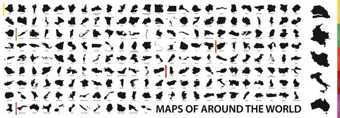 Collection of outline shape of international country map in black.favorite_border favorite
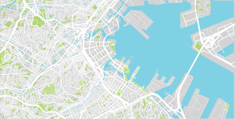 Urban vector city map of Yokohama, Japanfavorite_border favorite
 grunge old paper for treasure map or vintage letterfavorite_border favorite
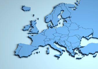 Europe 3Dfavorite_border favorite
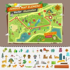 jungle map with graphic elements - vectorfavorite_border favorite
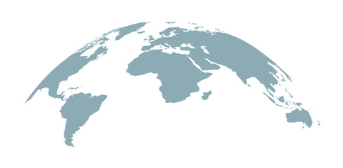 Curved world map silhouette, half globe of blue planet Earth, global business geography, worldwide international. Africa, Asia and America, Europe, Australia continents. Travel vector infographicsfavorite_border favorite
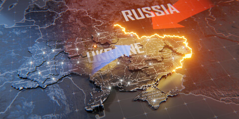 Military conflict between Ukraine and Russia. Concept map of war. cartography design. 3d renderfavorite_border favorite
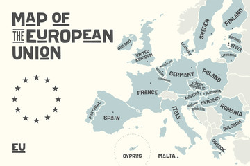 Poster map of the European Union with country names and capitals. Print map of EU for web and polygraphy, on business, ecomomic, political, Brexit and geography themes. Vector Illustrationfavorite_border favorite
 Ancient old globe on the vintage map background. Selective focus. Retro style. Science, education, travel, vintage background. History and geography team.favorite_border favorite
 world map line art drawing design vector illustration isolated on transparent backgroundfavorite_border favorite
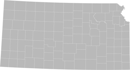 Kansas vector map with county boundaries (Albers equal area conic projection, PPT-compatible & fully editable)favorite_border favorite
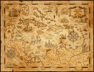 Old vintage map of caribbean sea. Vector worn parchment with ships, islands and land, wind rose and cardinal points. Fantasy world, vintage grunge paper, pirate map with travel locations and monstersfavorite_border favorite
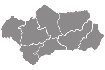 Mapa gris de Andalucía.favorite_border favorite
 Map of Italy plain set. Italy map blank set.favorite_border favorite
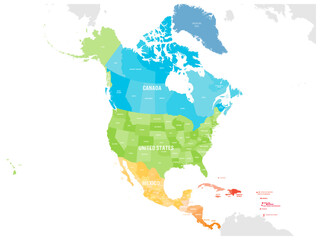 Political map of North American countries Canada, United States of America, Mexico with administrative divisions. Central American Countries and Caribbean Region. Colorful blank map. Vectorfavorite_border favorite
 Pin location icon for map and navigationfavorite_border favorite
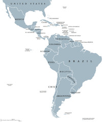 Latin America countries political map with national borders. Countries from the northern border of Mexico to the southern tip of South America, including the Caribbean. English labeling. Illustration.favorite_border favorite
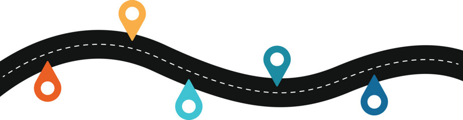 Road map and route isolated inforgraphic templatefavorite_border favorite
 Cartography World Map Grey with Country and Continents.favorite_border favorite
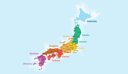 A vibrant and clear political map of Japan, highlighting its main islands and regions with distinct colors. The map labels the major regions including Hokkaido, Tohoku, Kanto, Chubu, Kansai, Chugoku,favorite_border favorite
 World map divided into countries. Continents and oceans, africa, antarctic, asia, europe, america, australia. PNG detailed map silhouette illustrationfavorite_border favorite
 Blue world map on vintage paper background. watercolor stylefavorite_border favorite
 Spain 3d map with borders Template for your designfavorite_border favorite
 Brazil silhouette map and two patterns of dots and slanted lines. Flat vector illustration isolated on whitefavorite_border favorite
 Panama - set of black, solid black, grey outline border map of country area. Simple flat vector illustration.favorite_border favorite
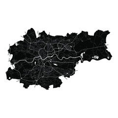 Kraków, Poland, Black and White high resolution vector mapfavorite_border favorite
 a world map of Thailand, 3d rendering,favorite_border favorite
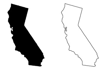 California map vector illustration, scribble sketch California mapfavorite_border favorite
 Two People Looking At City Mapfavorite_border favorite
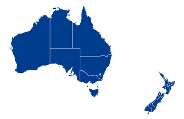 Australia and New Zealand Map vector with all States and territories in blue. Similar map blank of Australia and New Zealand on white background. High quality map. EPS10.favorite_border favorite
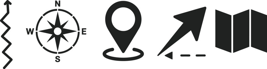 A collection of navigational symbols including a compass location marker direction arrow and map elements on transparent background high-quality professionalfavorite_border favorite
 World map point and line composition concept of global business. Global network connection. Vector Illustration Free Vectorfavorite_border favorite
 United States of America map. USA Map With Divided States. Outline US map.favorite_border favorite
 Prague map vector poster flyerfavorite_border favorite
 Vector illustration of louisiana of usa fill, stroke with fill and dotted mapfavorite_border favorite
 Set of Valentine's Day cards. Festive design with hearts, line arts and modern typography. Template for ads, branding, banner, cover, label, poster printfavorite_border favorite
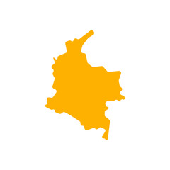 colombia country map border vector icon illustrationfavorite_border favorite
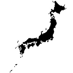 japan map silhouettefavorite_border favorite
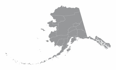 Alaska counties mapfavorite_border favorite
 United States of America map. USA map with states and state names isolated – vectorfavorite_border favorite
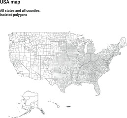 Map of USA with all states and all counties. Light. Isolated polygonsfavorite_border favorite
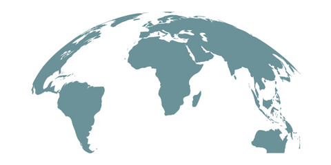 Curved world map silhouette with half globe blue Earth planet representing global business geography and international worldwide travel featuring all major continents in a modern vector infographicfavorite_border favorite
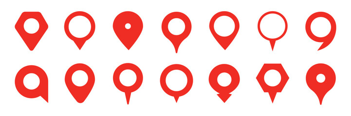 Collection of red map pin vector icon. Marker location icon setfavorite_border favorite
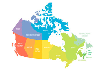 Canada political map of administrative divisionsfavorite_border favorite
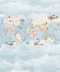 Children's map of the world in English. Detailed world map with the names of countries and capitals, with animals, airplanes and balloons. Children's educational photo wallpaper with the world map onfavorite_border favorite
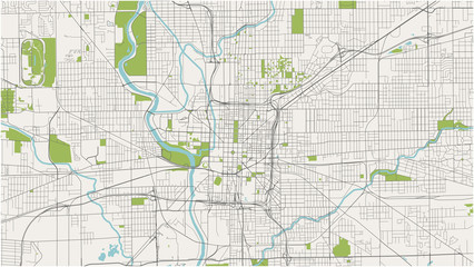 map of the city of Indianapolis, Indiana, USAfavorite_border favorite
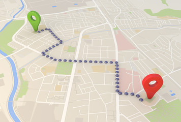 city map with Pin Pointers 3d rendering imagefavorite_border favorite
 3D USA State mapfavorite_border favorite
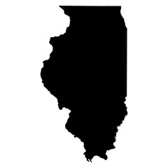 Illinois black map on white background vectorfavorite_border favorite
 Poland map outline with stars and lines abstract framework.favorite_border favorite
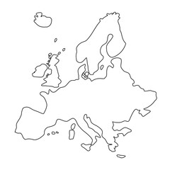 Mapa Europy - konturyfavorite_border favorite
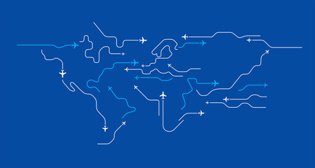 Flying airplanes world map abstract vector background - flying white airplanes routes on blue background - Air travel concept - line art illustrationfavorite_border favorite
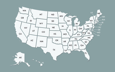 USA map land area vector with state names on black background illustrationfavorite_border favorite
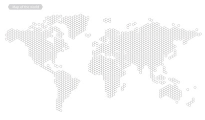 World map of hexagon dots, led uppercase English alphabet, vector illustrationfavorite_border favorite
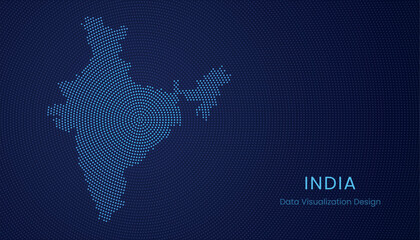 India dotted digital map for data visualization designfavorite_border favorite
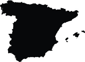 Scalable vector map illustration of spain eps icon for general design projectsfavorite_border favorite
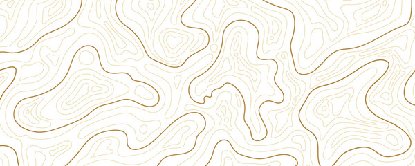 Abstract topographic map background Vector. 21:9 wallpaper design for fabric , packaging , web, geographic grid map vector illustration.favorite_border favorite
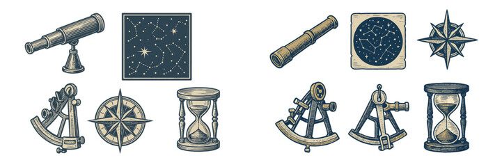 Vintage navigation and astronomy tools with compass, telescope, sextant, hourglass, and constellation mapsfavorite_border favorite
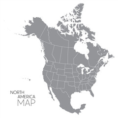 North American continent with contours of countries. Vector drawing, vector 10 eps.favorite_border favorite
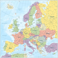 Europe map - highly detailed vector illustrationfavorite_border favorite
 Latin America map digital 4kfavorite_border favorite
 Locations marked with pins on world map, global communication network, closeupfavorite_border favorite
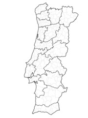 Mapa portugal com regiões e concelhos, distritosfavorite_border favorite
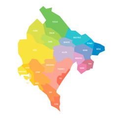 Montenegro political map of administrative divisionsfavorite_border favorite
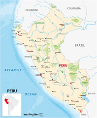 vector map of the South American state of Perufavorite_border favorite
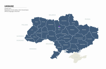 graphic vector map of ukraine. ukraine map. europe country map.favorite_border favorite
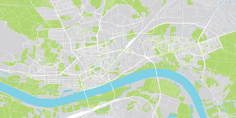 Urban vector city map of Torun, Polandfavorite_border favorite
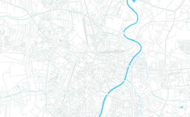 Rzeszow, Poland bright vector mapfavorite_border favorite
 Colombia map on white background vectorfavorite_border favorite
 Canada map silhouettefavorite_border favorite
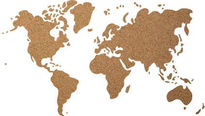 World map cork wood texture cut out on transparent background.favorite_border favorite
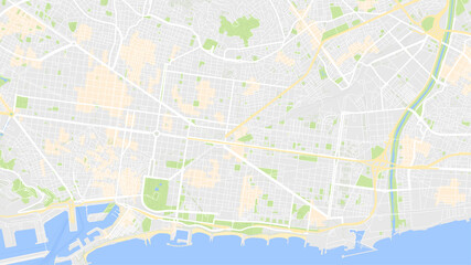 it is map city Barcelonafavorite_border favorite
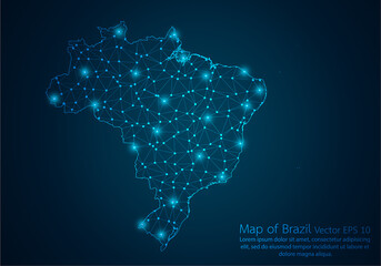 Abstract mash line and point scales on dark background with map of Brazil.3D mesh polygonal network line, design sphere, dot and structure. Vector illustration eps 10.favorite_border favorite
 black silhouette map of usa including territories and associated states with borders on white backgroundfavorite_border favorite
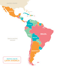 Political Map of Latin Americafavorite_border favorite
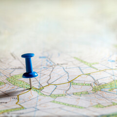 Blue thumbtack marking and showing destination location point on map background with copy spacefavorite_border favorite
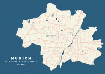 Munich map vector poster flyerfavorite_border favorite
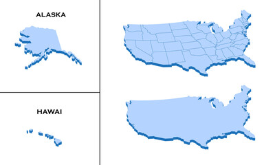 3d isometric america USA map with region border linefavorite_border favorite
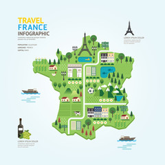 Infographic travel and landmark france map shape template designfavorite_border favorite
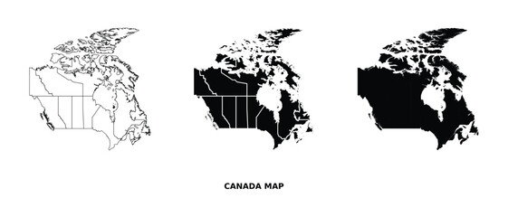 Canada map vector set with administrative regions in black and white, detailed country outline illustrationfavorite_border favorite
 kolorowa mapa Irlandii i Angliifavorite_border favorite
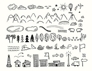 Drawing doodling map elements. Cartoon style collection for create an own unique map. Decorative topography sketch.favorite_border favorite
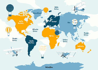 Vector world map for kids with cute cartoon planes and air balloons. Children's map design for wallpaper, kid's room, wall art. America, Europa, Asia, Africa, Australia, Arctica. Vector illustration.favorite_border favorite
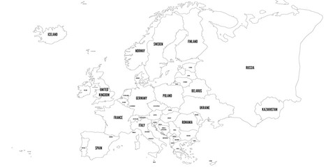 Vector outline map of Europe. Simplified vector map made of black state contours on white background with black Europe countries labels.favorite_border favorite
 Striped map of Africafavorite_border favorite
 Map icon set. Included the icons as pin, nearby, direction, navigation, navigator, way, path and more.favorite_border favorite
 Urban vector city map of Copenhagen, Denmarkfavorite_border favorite
 Grid paper with dots. Square graph background. Architect project texture. School math sheet. Notebook pattern. Checkered backdrop of map. Geometric banner. Technical blank. Vector illustrationfavorite_border favorite
 vector city map of Copenhague, Denmarkfavorite_border favorite
 United States map one line drawing, minimalist vector illustration, editable stroke design element.favorite_border favorite
 United States Map Vector Graphic with State Boundaries and Location Markers for Cities and Landmarksfavorite_border favorite
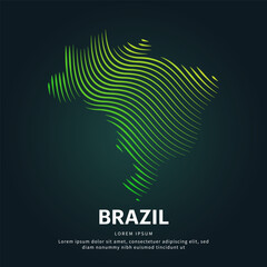 simple logo map of brazil Illustration in a linear style. Abstract line art brazil map Logotype concept icon. Vector logo Brazil map color silhouette on a dark background. EPS 10favorite_border favorite
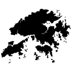 Hong kong map vector illustration eps 10favorite_border favorite
 map locator iconfavorite_border favorite
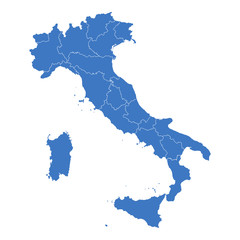 Regions map of Italyfavorite_border favorite
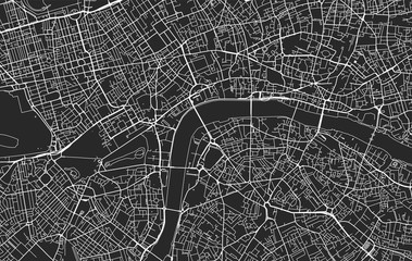 Black and white vector city map of Londonfavorite_border favorite
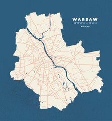 Warsaw map vector poster flyerfavorite_border favorite
 Topography inspired antique map design showing natural terrain features through classic elevation lines, geographic grid overlay, and weathered textures ideal for geography, exploration.favorite_border favorite
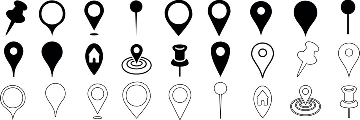 location marker, diverse map pin vector icons set. Ideal for mapping, navigation apps, websites. standard pins, circular markers, house shape, pushpinfavorite_border favorite
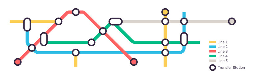 Scheme of metro stations and plan of subway with colorful lines, fictional metro map of underground, layout of public passenger transport routes, subway train tracks plan flat illustration.favorite_border favorite