-
Abstract of world network
Do ulubionych favorite_border
Usuń z ulubionych favorite
-
Do ulubionych favorite_border
Usuń z ulubionych favorite
-
Europe Map Silhouette Vector illustration
Do ulubionych favorite_border
Usuń z ulubionych favorite
-
vector map of spain with borders of regions
Do ulubionych favorite_border
Usuń z ulubionych favorite
-
City map navigation. GPS navigator. Distance. Point marker icon. Top view, view from above. Abstract background. Cute simple design. Flat style vector illustration.
Do ulubionych favorite_border
Usuń z ulubionych favorite
-
Europe map isolated on white background.Europe political map. Low detailed. Solid simple style.Europe map silhouette linear and black illustration. Black and white. Vector editable
Do ulubionych favorite_border
Usuń z ulubionych favorite
-
Highly Detailed Political World Map Vintage Colors
Do ulubionych favorite_border
Usuń z ulubionych favorite
-
map of Europe in gray on a white background
Do ulubionych favorite_border
Usuń z ulubionych favorite
-
Do ulubionych favorite_border
Usuń z ulubionych favorite
-
City map with some location tags
Do ulubionych favorite_border
Usuń z ulubionych favorite
-
Simplified world map. Stylized vector illustration
Do ulubionych favorite_border
Usuń z ulubionych favorite
-
Do ulubionych favorite_border
Usuń z ulubionych favorite
-
topographic line contour map background, geographic grid map
Do ulubionych favorite_border
Usuń z ulubionych favorite
-
United States of America Blue map including State Boundaries
Do ulubionych favorite_border
Usuń z ulubionych favorite
-
Germany map blue white card paper 3D vector
Do ulubionych favorite_border
Usuń z ulubionych favorite
-
World map vector grey isolated on white background. Flat Earth, Globe world map icon. Travel worldwide eps 10
Do ulubionych favorite_border
Usuń z ulubionych favorite
-
Blue location symbol pin icon sign or navigation locator map travel gps direction pointer and marker place position point design element on route graphic road mark destination background. 3D render.
Do ulubionych favorite_border
Usuń z ulubionych favorite
-
Custom map creation set for kids and travel designs with houses, animals, trees, plants, flowers, roads, cars and vehicles, airplane and weather items. Includes three designs of maps
Do ulubionych favorite_border
Usuń z ulubionych favorite
-
Portugal map silhouette line country Europe map illustration vector outline European isolated on white background
Do ulubionych favorite_border
Usuń z ulubionych favorite
-
Detailed fragment of color abstract vector topographic map
Do ulubionych favorite_border
Usuń z ulubionych favorite
-
Do ulubionych favorite_border
Usuń z ulubionych favorite
-
vintage map of the world 1778
Do ulubionych favorite_border
Usuń z ulubionych favorite
-
Do ulubionych favorite_border
Usuń z ulubionych favorite
-
Europe, gray political map. Continent and part of Eurasia, located in the Northern Hemisphere, with about 50 sovereign states. Map with borders and English country names. Gray illustration over white.
Do ulubionych favorite_border
Usuń z ulubionych favorite
-
City map navigation. GPS navigator. Point marker icon. Top view, view from above. Abstract background. Cute simple design. Flat style vector illustration.
Do ulubionych favorite_border
Usuń z ulubionych favorite
-
Do ulubionych favorite_border
Usuń z ulubionych favorite
-
podział administracyjny polski, województwa
Do ulubionych favorite_border
Usuń z ulubionych favorite
-
World map with countries, country and city names
Do ulubionych favorite_border
Usuń z ulubionych favorite
-
City map with pins. Town streets and avenues, parks and squares, rivers and ponds. Urban gps navigation with pointers. Geo locating concept
Do ulubionych favorite_border
Usuń z ulubionych favorite
-
World Map - Physical Topographic - Vector Detailed Illustration
Do ulubionych favorite_border
Usuń z ulubionych favorite
-
World Map vector. Gray similar world map blank vector on transparent background. Gray similar world map with borders of all countries. High quality world map. Stock vector. Vector illustration EPS
Do ulubionych favorite_border
Usuń z ulubionych favorite
-
Closeup of pushpin showing the location on the map
Do ulubionych favorite_border
Usuń z ulubionych favorite
-
Do ulubionych favorite_border
Usuń z ulubionych favorite
-
Compass and map in hands of traveler for checking and searching position and direction at the top of peak of mountain while hiking for camping
Do ulubionych favorite_border
Usuń z ulubionych favorite
-
Poland map card paper 3D natural
Do ulubionych favorite_border
Usuń z ulubionych favorite
-
set of 4 political maps of Brazil with regions isolated on white background
Do ulubionych favorite_border
Usuń z ulubionych favorite
-
World travel map. Pins on global earth maps, worldwide business communication isolated concept illustration
Do ulubionych favorite_border
Usuń z ulubionych favorite
-
Dotted Europe map. Vector geographic map on white and blue backgrounds. Vector concept of Europe map constructed of round points.
Do ulubionych favorite_border
Usuń z ulubionych favorite
-
Do ulubionych favorite_border
Usuń z ulubionych favorite
-
Europe map Dotted pattern vector illustration
Do ulubionych favorite_border
Usuń z ulubionych favorite
-
Detailed vector map of Poland
Do ulubionych favorite_border
Usuń z ulubionych favorite
-
Republic of China map silhouette
Do ulubionych favorite_border
Usuń z ulubionych favorite
-
Stylized simple outline map of Spain icon. Blue sketch map of Spain vector illustration
Do ulubionych favorite_border
Usuń z ulubionych favorite
-
Pin location icon on the paper map, 3d render
Do ulubionych favorite_border
Usuń z ulubionych favorite
-
City map navigation. GPS navigator. Point marker icon. Top view, view from above. Abstract background. Simple realistic map design. Landscape with river. Flat style vector illustration.
Do ulubionych favorite_border
Usuń z ulubionych favorite
-
The world map with cartoon animals for kids, nature, discovery and continent name, ocean name, countries name. vector Illustration.
Do ulubionych favorite_border
Usuń z ulubionych favorite
-
Abstract topographic map background. Topo backdrop lines, contour, geographic grid
Do ulubionych favorite_border
Usuń z ulubionych favorite
-
Spain Map with provinces grey
Do ulubionych favorite_border
Usuń z ulubionych favorite
-
Mapa Europy w wersji artystycznej na białym tle
Do ulubionych favorite_border
Usuń z ulubionych favorite
-
All 225 Complete Countries Map of the World Perfect Icons . A complete maps of the world. Every single country map are listed and isolated with names.
Do ulubionych favorite_border
Usuń z ulubionych favorite
-
Vector map of country Poland and voivodeships vol.2
Do ulubionych favorite_border
Usuń z ulubionych favorite
-
Green Topographic Map Background with Abstract Contour Line Pattern.
Do ulubionych favorite_border
Usuń z ulubionych favorite
-
girl cyclist looks at a map on her phone and plots a route for a trip for a GPS navigator
Do ulubionych favorite_border
Usuń z ulubionych favorite
-
Simple (only sharp corners) map of Canada vector drawing. Mercator projection. Filled and outline version.
Do ulubionych favorite_border
Usuń z ulubionych favorite
-
High detailed vector map - India.
Do ulubionych favorite_border
Usuń z ulubionych favorite
-
Stylized simple yellow outline map of Poland
Do ulubionych favorite_border
Usuń z ulubionych favorite
-
Map pin icon set. Containing location, map marker, address, position, tracking, geolocation, place and more. Solid vector icons collection.
Do ulubionych favorite_border
Usuń z ulubionych favorite
-
Detailed map of Warsaw - the capital of Poland - Urban borders map. Light stroke version of City poster with streets and Vistula River.
Do ulubionych favorite_border
Usuń z ulubionych favorite
-
Topographic map patterns, topography line map. Vintage outdoors style
Do ulubionych favorite_border
Usuń z ulubionych favorite
-
Close-up of creative business team analyzing ideas on mind map during new project in the office.
Do ulubionych favorite_border
Usuń z ulubionych favorite
-
Highly detailed political world map
Do ulubionych favorite_border
Usuń z ulubionych favorite
-
Earth at night, world map with city lights showing human activity in North America, Europe and East Asia from space. Elements of this image furnished by NASA.
Do ulubionych favorite_border
Usuń z ulubionych favorite
-
Wektorowa mapa województw w Polsce MONOCHROMATYCZNA
Do ulubionych favorite_border
Usuń z ulubionych favorite
-
Simple red map pin. Concept of global coordinate, dot, needle tip, ui. Flat style trend modern brand graphic design on white background
Do ulubionych favorite_border
Usuń z ulubionych favorite
-
Maps icon set. Containing maps, location, GPS, navigation, city map, atlas, route, direction, pin and more. Outline Icon Collection. Vector illustration. Editable stroke
Do ulubionych favorite_border
Usuń z ulubionych favorite
-
location icon set map pointer pin sign symbol red black outline destination icon place address navigation locator sign vector illustration
Do ulubionych favorite_border
Usuń z ulubionych favorite
-
World map flat, blank continents against blue background. 3d illustration
Do ulubionych favorite_border
Usuń z ulubionych favorite
-
Poland blue map big data visualization. Futuristic map infographic. Information aesthetics. Visual data complexity. Complex Poland data graphic visualization. 3d render illustration
Do ulubionych favorite_border
Usuń z ulubionych favorite
-
Mapa Europy z flagami państw
Do ulubionych favorite_border
Usuń z ulubionych favorite
-
Poland Map - Info Graphic Vector Illustration
Do ulubionych favorite_border
Usuń z ulubionych favorite
-
Topographic map patterns, topography line map. Vintage outdoors style. World map Template. Stock vector
Do ulubionych favorite_border
Usuń z ulubionych favorite
-
set of 4 political maps of Portugal with regions isolated on white background
Do ulubionych favorite_border
Usuń z ulubionych favorite
-
GPS navigator pin checking blue color on white background
Do ulubionych favorite_border
Usuń z ulubionych favorite
-
World Map vector. Gray similar world map blank vector on transparent background. Gray similar world map with borders of all countries and States of USA map. High quality world map. EPS10.
Do ulubionych favorite_border
Usuń z ulubionych favorite
-
United States of America map
Do ulubionych favorite_border
Usuń z ulubionych favorite
-
Map of the city, locality. Color scheme background. GPS navigation, along the road and streets. Flat vector cartoon illustration.
Do ulubionych favorite_border
Usuń z ulubionych favorite
-
Vector color detailed map of Spain with the administrative divisions of the country, each Autonomous communities is presented separately and divided into autonomous cities and Provinces
Do ulubionych favorite_border
Usuń z ulubionych favorite
-
Vector map of Poland administrative division vol.4
Do ulubionych favorite_border
Usuń z ulubionych favorite
-
Old map of the world on a old parchment background. Vintage style. Elements of this Image Furnished by NASA.
Do ulubionych favorite_border
Usuń z ulubionych favorite
-
Business process management and automation concept with person moving wooden pieces on flowchart diagram. Workflow implementation to improve productivity and efficiency. Management and organization.
Do ulubionych favorite_border
Usuń z ulubionych favorite
-
Sketch style Europe continent map on white background
Do ulubionych favorite_border
Usuń z ulubionych favorite
-
Spain map icon. Spain border. Country flag sign. Europe geography. Vector illustration.
Do ulubionych favorite_border
Usuń z ulubionych favorite
-
black and white vertical line pattern world map negative
Do ulubionych favorite_border
Usuń z ulubionych favorite
-
Africa map vector illustration. Africa silhouette continent. High detailed map in flat and outlined style. Template for your design. Vector elements isolated on white background.
Do ulubionych favorite_border
Usuń z ulubionych favorite
-
Geolocation icons set. Outline Icon Collection. Editable stroke. Vector illustration
Do ulubionych favorite_border
Usuń z ulubionych favorite
-
Blue vintage world map illustration based on image furnished by NASA
Do ulubionych favorite_border
Usuń z ulubionych favorite
-
Presentation design vector templates, multipurpose template for presentation slide, flyer, brochure cover design, report presentation. World map concept backgrounds with world map infographic elements
Do ulubionych favorite_border
Usuń z ulubionych favorite
-
Dotted Poland map. Vector geographic map on white and blue backgrounds. Vector mosaic of Poland map made with sphere dots.
Do ulubionych favorite_border
Usuń z ulubionych favorite
-
Europa Infografika z flagami państw
Do ulubionych favorite_border
Usuń z ulubionych favorite
-
World single states political map with national borders. Each country area with its own color. Illustration on white background under Robinson projection. English labeling.
Do ulubionych favorite_border
Usuń z ulubionych favorite
-
Europe 3d map with gps pins isolated on white background - Vector
Do ulubionych favorite_border
Usuń z ulubionych favorite
-
vector map of italy with borders of regions
Do ulubionych favorite_border
Usuń z ulubionych favorite
-
land location icon. Vector dimension area size icon and map pin
Do ulubionych favorite_border
Usuń z ulubionych favorite
-
Do ulubionych favorite_border
Usuń z ulubionych favorite
-
Do ulubionych favorite_border
Usuń z ulubionych favorite
-
Phone with map and gps with location on screen. Mobile smartphone app with map of roads and pin with navigator of city. Vector. Application of street search and route navigation icons in town
Do ulubionych favorite_border
Usuń z ulubionych favorite
-
World map vector, isolated on white background. Flat Earth, gray map template for web site pattern, anual report, inphographics. Globe similar worldmap icon. Travel worldwide, map silhouette backdrop.
Do ulubionych favorite_border
Usuń z ulubionych favorite
-
Do ulubionych favorite_border
Usuń z ulubionych favorite
-
Routes with blue pins on a city map. Concept on the adventure, discovery, navigation, communication, logistics, geography, transport and travel topics.
Do ulubionych favorite_border
Usuń z ulubionych favorite
-
Map of Europe Point scales on dark background with Map World. Wire frame 3D mesh polygonal network line, design sphere, dot and structure. Vector illustration eps 10.
Do ulubionych favorite_border
Usuń z ulubionych favorite
 Abstract of world networkfavorite_border favorite
 carte coeur coloréfavorite_border favorite
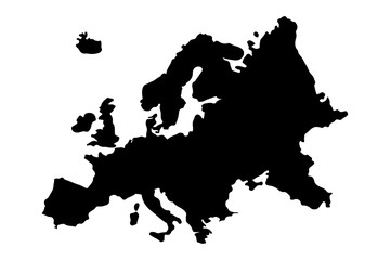 Europe Map Silhouette Vector illustrationfavorite_border favorite
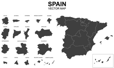 vector map of spain with borders of regionsfavorite_border favorite
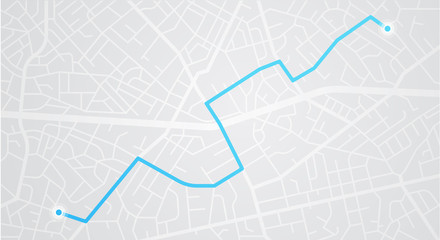 City map navigation. GPS navigator. Distance. Point marker icon. Top view, view from above. Abstract background. Cute simple design. Flat style vector illustration.favorite_border favorite
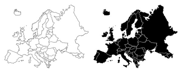 Europe map isolated on white background.Europe political map. Low detailed. Solid simple style.Europe map silhouette linear and black illustration. Black and white. Vector editablefavorite_border favorite
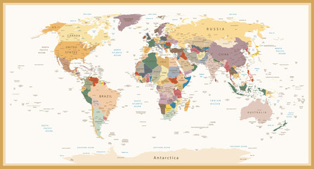 Highly Detailed Political World Map Vintage Colorsfavorite_border favorite
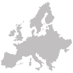 map of Europe in gray on a white backgroundfavorite_border favorite
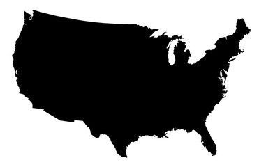 USA Map Black Silhouettefavorite_border favorite
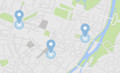 City map with some location tagsfavorite_border favorite
 Simplified world map. Stylized vector illustrationfavorite_border favorite
 Dotted World Map - greyfavorite_border favorite
 topographic line contour map background, geographic grid mapfavorite_border favorite
 United States of America Blue map including State Boundariesfavorite_border favorite
 Germany map blue white card paper 3D vectorfavorite_border favorite
 World map vector grey isolated on white background. Flat Earth, Globe world map icon. Travel worldwide eps 10favorite_border favorite
 Blue location symbol pin icon sign or navigation locator map travel gps direction pointer and marker place position point design element on route graphic road mark destination background. 3D render.favorite_border favorite
 Custom map creation set for kids and travel designs with houses, animals, trees, plants, flowers, roads, cars and vehicles, airplane and weather items. Includes three designs of mapsfavorite_border favorite
 Portugal map silhouette line country Europe map illustration vector outline European isolated on white backgroundfavorite_border favorite
 Detailed fragment of color abstract vector topographic mapfavorite_border favorite
 World Mapfavorite_border favorite
 vintage map of the world 1778favorite_border favorite
 Dotted path with pointsfavorite_border favorite
 Europe, gray political map. Continent and part of Eurasia, located in the Northern Hemisphere, with about 50 sovereign states. Map with borders and English country names. Gray illustration over white.favorite_border favorite
 City map navigation. GPS navigator. Point marker icon. Top view, view from above. Abstract background. Cute simple design. Flat style vector illustration.favorite_border favorite
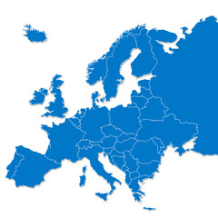 Europe mapfavorite_border favorite
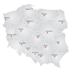 podział administracyjny polski, województwafavorite_border favorite
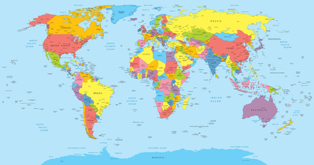 World map with countries, country and city namesfavorite_border favorite
 City map with pins. Town streets and avenues, parks and squares, rivers and ponds. Urban gps navigation with pointers. Geo locating conceptfavorite_border favorite
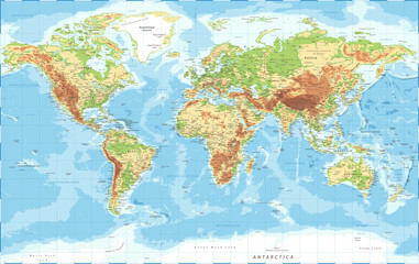 World Map - Physical Topographic - Vector Detailed Illustrationfavorite_border favorite
 World Map vector. Gray similar world map blank vector on transparent background. Gray similar world map with borders of all countries. High quality world map. Stock vector. Vector illustration EPSfavorite_border favorite
 Closeup of pushpin showing the location on the mapfavorite_border favorite
 mapa de españa politicofavorite_border favorite
 Compass and map in hands of traveler for checking and searching position and direction at the top of peak of mountain while hiking for campingfavorite_border favorite
 Poland map card paper 3D naturalfavorite_border favorite
 set of 4 political maps of Brazil with regions isolated on white backgroundfavorite_border favorite
 World travel map. Pins on global earth maps, worldwide business communication isolated concept illustrationfavorite_border favorite
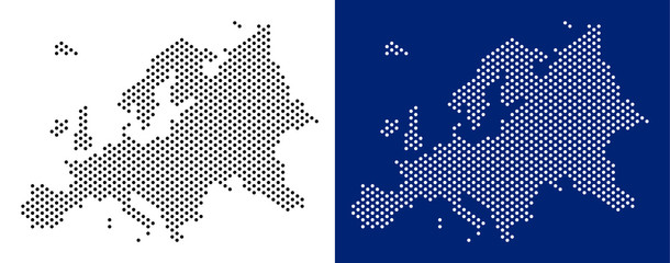 Dotted Europe map. Vector geographic map on white and blue backgrounds. Vector concept of Europe map constructed of round points.favorite_border favorite
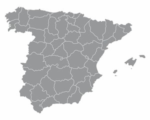 Spain regions mapfavorite_border favorite
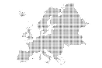 Europe map Dotted pattern vector illustrationfavorite_border favorite
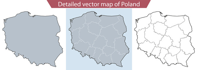 Detailed vector map of Polandfavorite_border favorite
 Republic of China map silhouettefavorite_border favorite
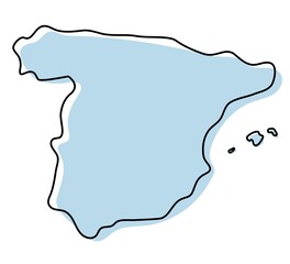 Stylized simple outline map of Spain icon. Blue sketch map of Spain vector illustrationfavorite_border favorite
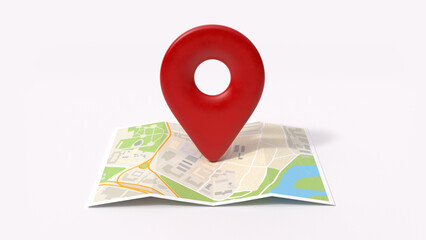 Pin location icon on the paper map, 3d renderfavorite_border favorite
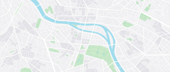 City map navigation. GPS navigator. Point marker icon. Top view, view from above. Abstract background. Simple realistic map design. Landscape with river. Flat style vector illustration.favorite_border favorite
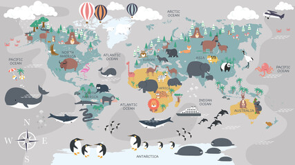 The world map with cartoon animals for kids, nature, discovery and continent name, ocean name, countries name. vector Illustration.favorite_border favorite
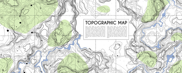 Abstract topographic map background. Topo backdrop lines, contour, geographic gridfavorite_border favorite
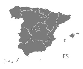 Spain Map with provinces greyfavorite_border favorite
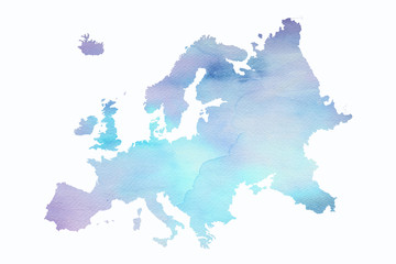 Mapa Europy w wersji artystycznej na białym tlefavorite_border favorite
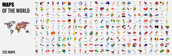 All 225 Complete Countries Map of the World Perfect Icons . A complete maps of the world. Every single country map are listed and isolated with names.favorite_border favorite
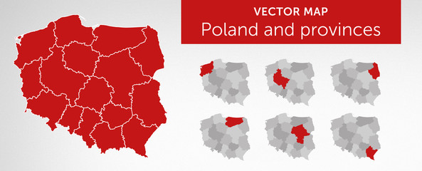 Vector map of country Poland and voivodeships vol.2favorite_border favorite
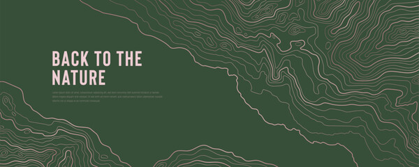 Green Topographic Map Background with Abstract Contour Line Pattern.favorite_border favorite
 girl cyclist looks at a map on her phone and plots a route for a trip for a GPS navigatorfavorite_border favorite
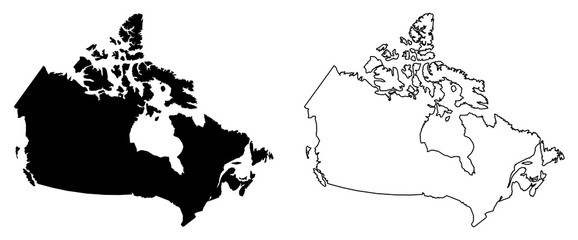 Simple (only sharp corners) map of Canada vector drawing. Mercator projection. Filled and outline version.favorite_border favorite
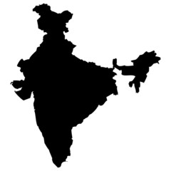 High detailed vector map - India.favorite_border favorite
 Stylized simple yellow outline map of Polandfavorite_border favorite
 Map pin icon set. Containing location, map marker, address, position, tracking, geolocation, place and more. Solid vector icons collection.favorite_border favorite
 Detailed map of Warsaw - the capital of Poland - Urban borders map. Light stroke version of City poster with streets and Vistula River.favorite_border favorite
 Topographic map patterns, topography line map. Vintage outdoors stylefavorite_border favorite
 Close-up of creative business team analyzing ideas on mind map during new project in the office.favorite_border favorite
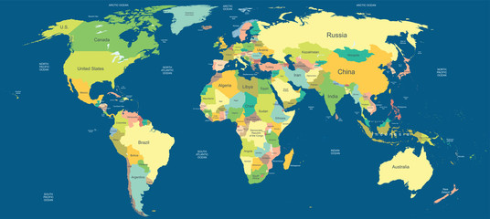 Highly detailed political world mapfavorite_border favorite
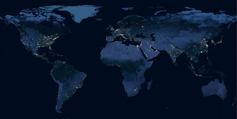 Earth at night, world map with city lights showing human activity in North America, Europe and East Asia from space. Elements of this image furnished by NASA.favorite_border favorite
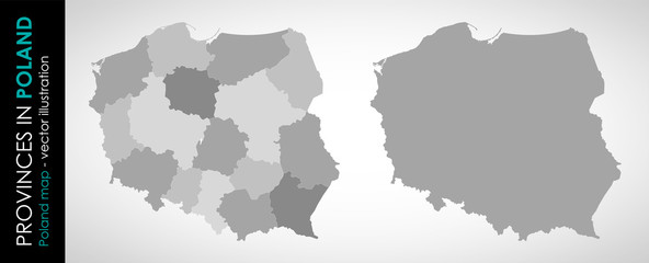 Wektorowa mapa województw w Polsce MONOCHROMATYCZNAfavorite_border favorite
 Simple red map pin. Concept of global coordinate, dot, needle tip, ui. Flat style trend modern brand graphic design on white backgroundfavorite_border favorite
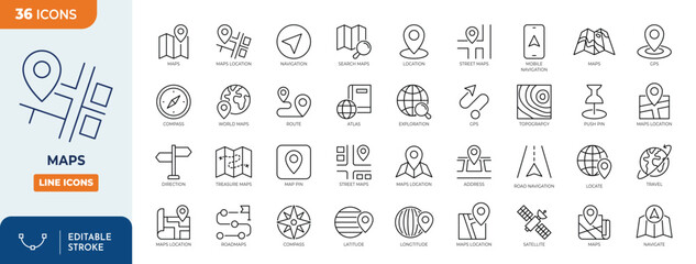 Maps icon set. Containing maps, location, GPS, navigation, city map, atlas, route, direction, pin and more. Outline Icon Collection. Vector illustration. Editable strokefavorite_border favorite
 location icon set map pointer pin sign symbol red black outline destination icon place address navigation locator sign vector illustrationfavorite_border favorite
 World map flat, blank continents against blue background. 3d illustrationfavorite_border favorite
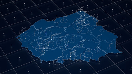 Poland blue map big data visualization. Futuristic map infographic. Information aesthetics. Visual data complexity. Complex Poland data graphic visualization. 3d render illustrationfavorite_border favorite
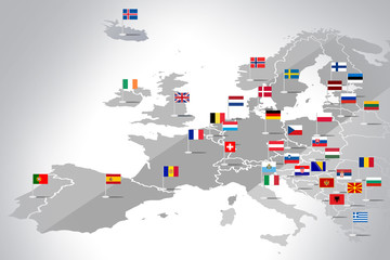 Mapa Europy z flagami państwfavorite_border favorite
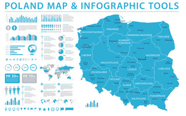 Poland Map - Info Graphic Vector Illustrationfavorite_border favorite
 Topographic map patterns, topography line map. Vintage outdoors style. World map Template. Stock vectorfavorite_border favorite
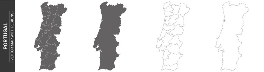 set of 4 political maps of Portugal with regions isolated on white backgroundfavorite_border favorite
 GPS navigator pin checking blue color on white backgroundfavorite_border favorite
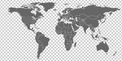 World Map vector. Gray similar world map blank vector on transparent background. Gray similar world map with borders of all countries and States of USA map. High quality world map. EPS10.favorite_border favorite
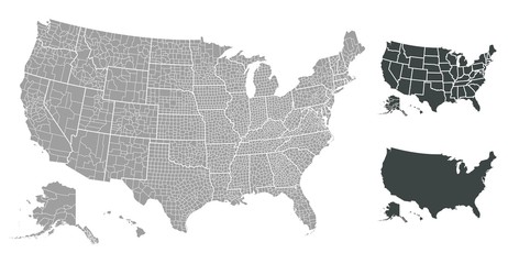 United States of America mapfavorite_border favorite
 Map of the city, locality. Color scheme background. GPS navigation, along the road and streets. Flat vector cartoon illustration.favorite_border favorite
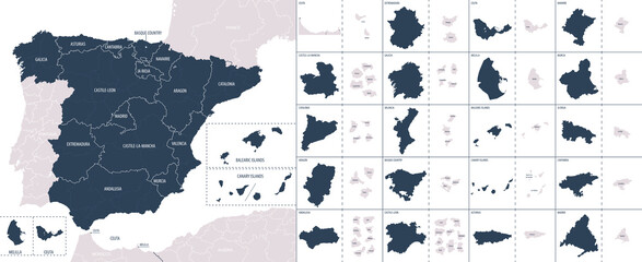 Vector color detailed map of Spain with the administrative divisions of the country, each Autonomous communities is presented separately and divided into autonomous cities and Provincesfavorite_border favorite
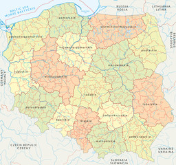 Vector map of Poland administrative division vol.4favorite_border favorite
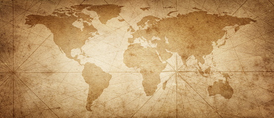 Old map of the world on a old parchment background. Vintage style. Elements of this Image Furnished by NASA.favorite_border favorite
 Business process management and automation concept with person moving wooden pieces on flowchart diagram. Workflow implementation to improve productivity and efficiency. Management and organization.favorite_border favorite
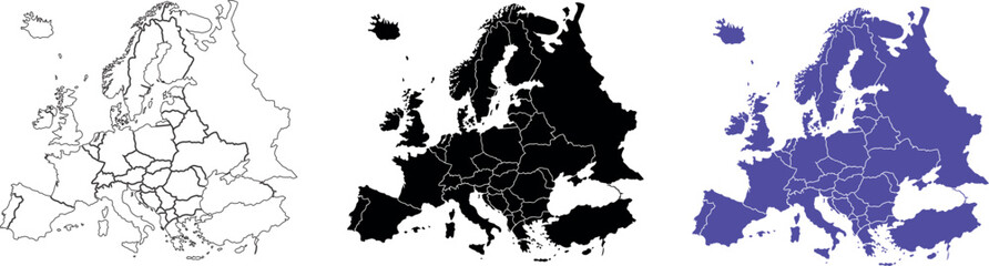 Sketch style Europe continent map on white backgroundfavorite_border favorite
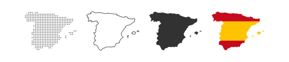 Spain map icon. Spain border. Country flag sign. Europe geography. Vector illustration.favorite_border favorite
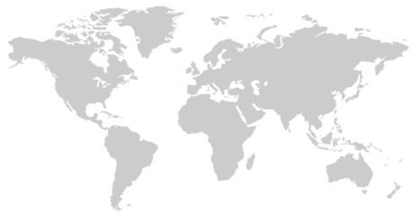 black and white vertical line pattern world map negativefavorite_border favorite
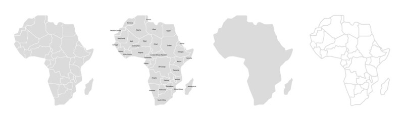 Africa map vector illustration. Africa silhouette continent. High detailed map in flat and outlined style. Template for your design. Vector elements isolated on white background.favorite_border favorite
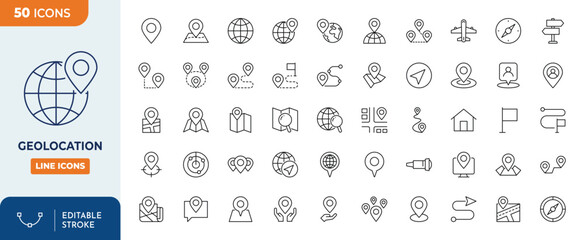 Geolocation icons set. Outline Icon Collection. Editable stroke. Vector illustrationfavorite_border favorite
 Blue vintage world map illustration based on image furnished by NASAfavorite_border favorite
 Presentation design vector templates, multipurpose template for presentation slide, flyer, brochure cover design, report presentation. World map concept backgrounds with world map infographic elementsfavorite_border favorite
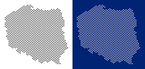 Dotted Poland map. Vector geographic map on white and blue backgrounds. Vector mosaic of Poland map made with sphere dots.favorite_border favorite
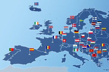 Europa Infografika z flagami państwfavorite_border favorite
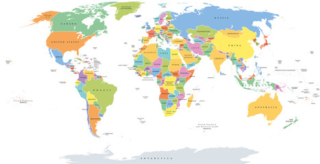 World single states political map with national borders. Each country area with its own color. Illustration on white background under Robinson projection. English labeling.favorite_border favorite
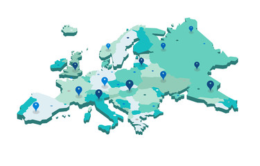 Europe 3d map with gps pins isolated on white background - Vectorfavorite_border favorite
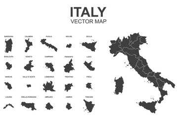 vector map of italy with borders of regionsfavorite_border favorite
 land location icon. Vector dimension area size icon and map pinfavorite_border favorite
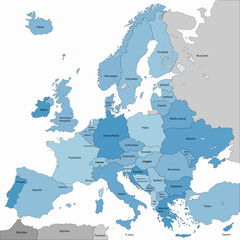 europa in blaufavorite_border favorite
 Old vintage fantasy mapfavorite_border favorite
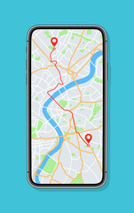 Phone with map and gps with location on screen. Mobile smartphone app with map of roads and pin with navigator of city. Vector. Application of street search and route navigation icons in townfavorite_border favorite
 World map vector, isolated on white background. Flat Earth, gray map template for web site pattern, anual report, inphographics. Globe similar worldmap icon. Travel worldwide, map silhouette backdrop.favorite_border favorite
 Poland physical mapfavorite_border favorite
 Routes with blue pins on a city map. Concept on the adventure, discovery, navigation, communication, logistics, geography, transport and travel topics.favorite_border favorite
 Map of Europe Point scales on dark background with Map World. Wire frame 3D mesh polygonal network line, design sphere, dot and structure. Vector illustration eps 10.favorite_border favorite