-
3d illustration, Middle east region map with Iran. Map of Iran a symbol of conflict
Do ulubionych favorite_border
Usuń z ulubionych favorite
-
Map of Warszawa city. Roads
Do ulubionych favorite_border
Usuń z ulubionych favorite
-
Planet Earth geography map set
Do ulubionych favorite_border
Usuń z ulubionych favorite
-
Map of Poland in gray on a white background
Do ulubionych favorite_border
Usuń z ulubionych favorite
-
World map with countries on blue background
Do ulubionych favorite_border
Usuń z ulubionych favorite
-
USA detailed topographic map illustration. Map contains topographic contours, country and land names, cities, water objects, flag, roads. - railways
Do ulubionych favorite_border
Usuń z ulubionych favorite
-
Miniature tourists in China. Color tone tuned.
Do ulubionych favorite_border
Usuń z ulubionych favorite
-
Ireland map with counties and Northern Ireland. Vector illustration.
Do ulubionych favorite_border
Usuń z ulubionych favorite
-
Do ulubionych favorite_border
Usuń z ulubionych favorite
-
Urban vector city map of Lodz, Poland
Do ulubionych favorite_border
Usuń z ulubionych favorite
-
Map world. Vector. Country. Earth Globe
Do ulubionych favorite_border
Usuń z ulubionych favorite
-
Aerial view city map Berlin, monochrome detailed plan, urban grid in perspective
Do ulubionych favorite_border
Usuń z ulubionych favorite
-
World map highlighting global connections with network lines for communication and trade representation.
Do ulubionych favorite_border
Usuń z ulubionych favorite
-
Vector color detailed map of Norway with the administrative divisions of the country, each Counties and Dependent territory is presented separately and divided into municipalities
Do ulubionych favorite_border
Usuń z ulubionych favorite
-
Outline Illustration of the world (with country borders)
Do ulubionych favorite_border
Usuń z ulubionych favorite
-
Blue location pin on a city map, blurred background
Do ulubionych favorite_border
Usuń z ulubionych favorite
-
The Mediterranean Sea subdivisions, political map with straits, countries and the Black Sea. Connected to the Atlantic Ocean, surrounded by the Mediterranean Basin, almost completely enclosed by land.
Do ulubionych favorite_border
Usuń z ulubionych favorite
-
Do ulubionych favorite_border
Usuń z ulubionych favorite
-
Political Europe Map vector illustration isolated on white background. Editable and clearly labeled layers.
Do ulubionych favorite_border
Usuń z ulubionych favorite
-
World Map with Highlighted Country Borders Vector Illustration
Do ulubionych favorite_border
Usuń z ulubionych favorite
-
3D rendered top view of city map with road building river 3D illustration
Do ulubionych favorite_border
Usuń z ulubionych favorite
-
USA states map outline. Country map United States of America. US states borders silhouettes.
Do ulubionych favorite_border
Usuń z ulubionych favorite
-
Satellite weather map over North America overlayed with wind streamlines. Satellite data provided by EUMETSAT.
Do ulubionych favorite_border
Usuń z ulubionych favorite
-
South america map illustration
Do ulubionych favorite_border
Usuń z ulubionych favorite
-
Print. World map with animals and architectural landmarks for kids. Eurasia, Africa, South America, North America, Australia. Cartoon animals.
Do ulubionych favorite_border
Usuń z ulubionych favorite
-
Europe Map Black European Border Continent Transparent Isolated Variations
Do ulubionych favorite_border
Usuń z ulubionych favorite
-
Do ulubionych favorite_border
Usuń z ulubionych favorite
-
Polen Administrativ Verwaltungsgliederung
Do ulubionych favorite_border
Usuń z ulubionych favorite
-
Kraków, Poland artistic blueprint map poster
Do ulubionych favorite_border
Usuń z ulubionych favorite
-
Vector world map with rounds, spots, dots for business templates
Do ulubionych favorite_border
Usuń z ulubionych favorite
-
argentina map flag icon set
Do ulubionych favorite_border
Usuń z ulubionych favorite
-
Poland map outline with stars and lines abstract framework.
Do ulubionych favorite_border
Usuń z ulubionych favorite
-
El mapa meteorológico muestra intensas precipitaciones en Norte America, destacando los importantes patrones de lluvia de la región.
Do ulubionych favorite_border
Usuń z ulubionych favorite
-
Red location pin icon – minimal map marker for GPS, navigation, travel, and place locator. Flat vector symbol for apps, address finding, and geolocation design
Do ulubionych favorite_border
Usuń z ulubionych favorite
-
High detailed Multicolor Watercolor World Map with borders.
Do ulubionych favorite_border
Usuń z ulubionych favorite
-
Hand drawn infographic for mind map visualization template with light bulb as a main symbol, colorful circles and icons. Easy to use for your design or presentation.
Do ulubionych favorite_border
Usuń z ulubionych favorite
-
World political map. Detailed map of the world with shorelines, national borders and country names. Robinson projection, english labeling, grey illustration on white background.
Do ulubionych favorite_border
Usuń z ulubionych favorite
-
Black silhouette map of United States of America
Do ulubionych favorite_border
Usuń z ulubionych favorite
-
GPS Map to Route Destination network connection Location Street Map with GPS Icons Navigation
Do ulubionych favorite_border
Usuń z ulubionych favorite
-
Outline World Map with Major Country Labels
Do ulubionych favorite_border
Usuń z ulubionych favorite
-
White Black Military Topographic Contour Map Vector Graphic Abstract Background. Topography Wavy Lines Pattern Modern Wide Abstraction. Outline Terrain Relief Cartography Geographical Map Illustration
Do ulubionych favorite_border
Usuń z ulubionych favorite
-
Routes with red pins on a city map. Concept on the adventure, discovery, navigation, communication, logistics, geography, transport and travel topics.
Do ulubionych favorite_border
Usuń z ulubionych favorite
-
Europe at night from space, city lights, elements from NASA
Do ulubionych favorite_border
Usuń z ulubionych favorite
-
Do ulubionych favorite_border
Usuń z ulubionych favorite
-
Do ulubionych favorite_border
Usuń z ulubionych favorite
-
Editable vector file of the continental United States.
Do ulubionych favorite_border
Usuń z ulubionych favorite
-
US map with hollow outline
Do ulubionych favorite_border
Usuń z ulubionych favorite
-
Ancient abstract earth relief old map. Generated conceptual vector elevation map of fantasy landscape.
Do ulubionych favorite_border
Usuń z ulubionych favorite
-
3D Illustration Computer-generated imagery CGI modeling HDRI 360º view panoramic lighting room interior studio lights
Do ulubionych favorite_border
Usuń z ulubionych favorite
-
Detailed map of Paris, France
Do ulubionych favorite_border
Usuń z ulubionych favorite
-
Vector maps set. High detailed 28 maps of European Union countries (member states) with administrative division and cities. Political map, map of Europe , world map, globe, infographic elements.
Do ulubionych favorite_border
Usuń z ulubionych favorite
-
Weltkarte auf Deutsch - Vintage retro stil - Vektorisiert texte : länder, hauptstädte, inseln, meere...
Do ulubionych favorite_border
Usuń z ulubionych favorite
-
Travel poster, urban street plan city map Warsaw and Krakow, vector illustration
Do ulubionych favorite_border
Usuń z ulubionych favorite
-
Large (97 MP) isolated satellite image of Africa. African continent from space. Detailed imagery / map of Africa in orthographic projection. Elements of this image furnished by NASA.
Do ulubionych favorite_border
Usuń z ulubionych favorite
-
United States of American Map
Do ulubionych favorite_border
Usuń z ulubionych favorite
-
Abstract vector topographic map in green colors
Do ulubionych favorite_border
Usuń z ulubionych favorite
-
South America countries political map with national borders. Continent surrounded by Pacific and Atlantic Ocean. English labeling. Illustration.
Do ulubionych favorite_border
Usuń z ulubionych favorite
-
Uttar Pradesh png map with districts, Indian state Uttar Pradesh district map, Uttar Pradesh Etah
Do ulubionych favorite_border
Usuń z ulubionych favorite
-
England map icon. English country border symbol. UK geography signs. Europe symbols. British kingdom icons. Black color. Vector sign.
Do ulubionych favorite_border
Usuń z ulubionych favorite
-
Vector design of the street map of Chicago against a white background
Do ulubionych favorite_border
Usuń z ulubionych favorite
-
Do ulubionych favorite_border
Usuń z ulubionych favorite
-
Czech republic vector map.
Do ulubionych favorite_border
Usuń z ulubionych favorite
-
Mapa do Brasil e regiões com contorno vazado
Do ulubionych favorite_border
Usuń z ulubionych favorite
-
South America viewed from space with sunrise on planet Earth and stars, overview of Amazon river and forest, night lights from cities in Brazil, Argentina, Chile, Peru, map elements from NASA, 8k
Do ulubionych favorite_border
Usuń z ulubionych favorite
-
World Map Isolated on White Background in Gray Color. Vector Illustration
Do ulubionych favorite_border
Usuń z ulubionych favorite
-
A close-up of a map focused on the Baltic Sea region, Eastern Europe, Scandinavia, with pushpins marking various locations and national flags indicating the countries.
Do ulubionych favorite_border
Usuń z ulubionych favorite
-
Abstract wavy topographic map. Abstract wavy and curved lines background. Abstract geometric topographic contour map background.
Do ulubionych favorite_border
Usuń z ulubionych favorite
-
World Map with Country Borders
Do ulubionych favorite_border
Usuń z ulubionych favorite
-
Ancient pirate map on old paper with red path to treasure
Do ulubionych favorite_border
Usuń z ulubionych favorite
-
Mapa Polski z województwami na białym tle. Zarys mapy Polski. Ilustracja wektorowa
Do ulubionych favorite_border
Usuń z ulubionych favorite
-
Greenland, North Pole, Arctic Ocean. Political map with the countries around the Arctic Circle 66 degrees. US, Canada, Sweden, Norway, Finland, Denmark, Iceland, Ireland, UK, Russia. Vector
Do ulubionych favorite_border
Usuń z ulubionych favorite
-
Latvia map vector. High detailed vector outline, blue silhouette and administrative divisions map of Latvia. All isolated on white background. Template for website, design, cover, infographics
Do ulubionych favorite_border
Usuń z ulubionych favorite
-
Abstract 3D digital topographic map with glowing data points and futuristic data analytics. Technology big data and geospatial concepts. Background 3D Rendering
Do ulubionych favorite_border
Usuń z ulubionych favorite
-
United States vector map with state boundaries, including Alaska & Hawaii (Albers equal area conic projection, PPT-compatible & fully editable)
Do ulubionych favorite_border
Usuń z ulubionych favorite
-
USA map with states isolated on a white background. Vector illustration of the map of the United States of America, AI-Generated Vector
Do ulubionych favorite_border
Usuń z ulubionych favorite
-
Urban vector city map of Wolverhampton, England
Do ulubionych favorite_border
Usuń z ulubionych favorite
-
A generic city map with icons
Do ulubionych favorite_border
Usuń z ulubionych favorite
-
Blank similar USA map isolated on white background. United States of America usa country. Vector template usa for website, design, cover, infographics. Graph illustration.
Do ulubionych favorite_border
Usuń z ulubionych favorite
-
Black and white map of japan with pixelated design elements on
Do ulubionych favorite_border
Usuń z ulubionych favorite
-
Detailed Poland administrative map with country flag and location on a blue globe. Vector illustration
Do ulubionych favorite_border
Usuń z ulubionych favorite
-
City map with some location tags
Do ulubionych favorite_border
Usuń z ulubionych favorite
-
World map outline with highlighted continents and islands on a transparent background
Do ulubionych favorite_border
Usuń z ulubionych favorite
-
Earth at night, city lights showing human activity in Europe from space. Elements of this image furnished by NASA.
Do ulubionych favorite_border
Usuń z ulubionych favorite
-
Scotland map vector, isolated on white background. Black template, flat earth. Simplified, generalized with round corners.
Do ulubionych favorite_border
Usuń z ulubionych favorite
-
Touristic map of Italy with landmarks, cities, food, and culture icons. Colorful cartoon style showing main attractions and traditions of the country.
Do ulubionych favorite_border
Usuń z ulubionych favorite
-
Vector illustration. Topographic map concept. Set of minimal square banners with retro graphics, marks, and trails. Line art pattern design on textured paper. Design for web banner, social media
Do ulubionych favorite_border
Usuń z ulubionych favorite
-
World map showing country borders. Gray world map isolated with border. Vector stock illustration.
Do ulubionych favorite_border
Usuń z ulubionych favorite
-
Earth globe set. World map in globe shape. Earth globes collection on isolated background. Flat style - stock vector.
Do ulubionych favorite_border
Usuń z ulubionych favorite
-
Do ulubionych favorite_border
Usuń z ulubionych favorite
-
Pin location icon for map and navigation
Do ulubionych favorite_border
Usuń z ulubionych favorite
-
Ukraine map isolated on white background
Do ulubionych favorite_border
Usuń z ulubionych favorite
-
Do ulubionych favorite_border
Usuń z ulubionych favorite
-
Location Spain. Red pin on the map.
Do ulubionych favorite_border
Usuń z ulubionych favorite
-
Middle East map vector free. Middle East map with county shape in single color. Vector map of geopolitical region middle east.
Do ulubionych favorite_border
Usuń z ulubionych favorite
-
USA map with states isolated on a white background. Vector illustration of the map of the United States of America, AI-Generated Vector
Do ulubionych favorite_border
Usuń z ulubionych favorite
-
Urban vector city map of Houston, Texas, USA
Do ulubionych favorite_border
Usuń z ulubionych favorite
-
Latin America isolated on white background. for website layouts, reports, annual infographics, world,travel around the world, map silhouette backdrop.
Do ulubionych favorite_border
Usuń z ulubionych favorite
-
Abstract mesh line and point scales on dark background with map Of Spain. Wire frame 3D mesh polygonal network line, design sphere, dot and structure. Vector illustration eps 10.
Do ulubionych favorite_border
Usuń z ulubionych favorite
-
Abstract mash line and point scales on dark background with map of Brazil.3D mesh polygonal network line, design sphere, dot and structure. Vector illustration eps 10.
Do ulubionych favorite_border
Usuń z ulubionych favorite
-
Connected map of Europe vector illustration background – European Union concept: cooperation, technology, digitalization, future
Do ulubionych favorite_border
Usuń z ulubionych favorite
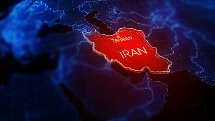 3d illustration, Middle east region map with Iran. Map of Iran a symbol of conflictfavorite_border favorite
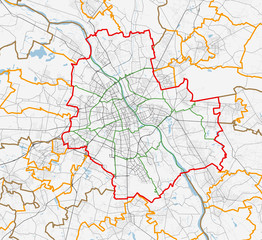 Map of Warszawa city. Roadsfavorite_border favorite
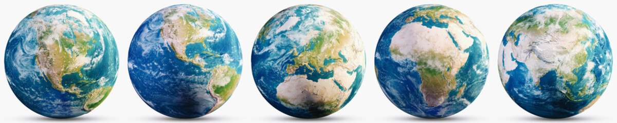 Planet Earth geography map setfavorite_border favorite
 Map of Poland in gray on a white backgroundfavorite_border favorite
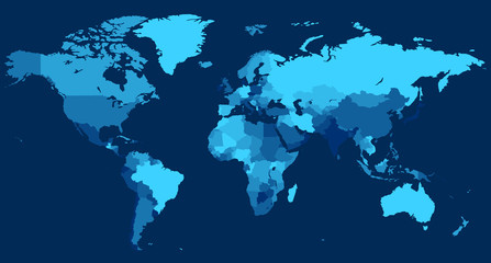 World map with countries on blue backgroundfavorite_border favorite
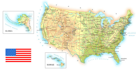 USA detailed topographic map illustration. Map contains topographic contours, country and land names, cities, water objects, flag, roads. - railwaysfavorite_border favorite
 Miniature tourists in China. Color tone tuned.favorite_border favorite
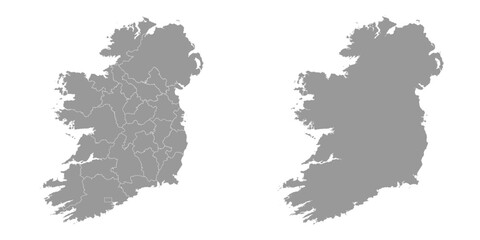 Ireland map with counties and Northern Ireland. Vector illustration.favorite_border favorite
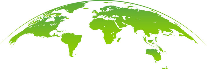 Green planet earth PNGfavorite_border favorite
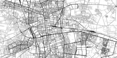 Urban vector city map of Lodz, Polandfavorite_border favorite
 Map world. Vector. Country. Earth Globefavorite_border favorite
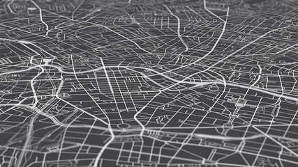 Aerial view city map Berlin, monochrome detailed plan, urban grid in perspectivefavorite_border favorite
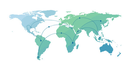 World map highlighting global connections with network lines for communication and trade representation.favorite_border favorite
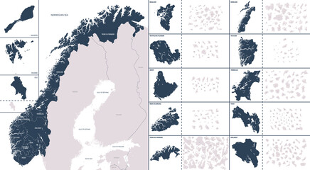 Vector color detailed map of Norway with the administrative divisions of the country, each Counties and Dependent territory is presented separately and divided into municipalitiesfavorite_border favorite
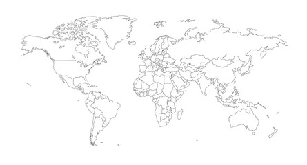 Outline Illustration of the world (with country borders)favorite_border favorite
 Blue location pin on a city map, blurred backgroundfavorite_border favorite
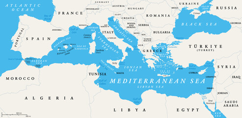 The Mediterranean Sea subdivisions, political map with straits, countries and the Black Sea. Connected to the Atlantic Ocean, surrounded by the Mediterranean Basin, almost completely enclosed by land.favorite_border favorite
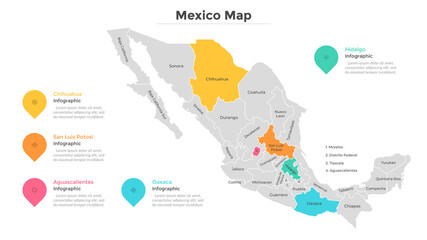 Mexico map vectorfavorite_border favorite
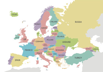 Political Europe Map vector illustration isolated on white background. Editable and clearly labeled layers.favorite_border favorite
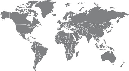 World Map with Highlighted Country Borders Vector Illustrationfavorite_border favorite
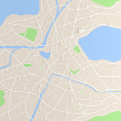 3D rendered top view of city map with road building river 3D illustrationfavorite_border favorite
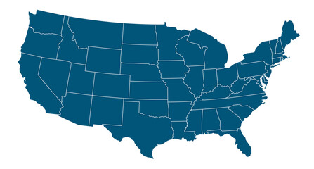 USA states map outline. Country map United States of America. US states borders silhouettes.favorite_border favorite
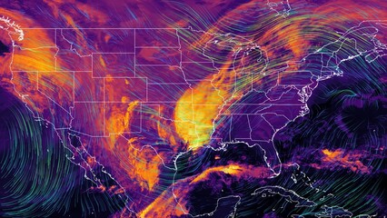 Satellite weather map over North America overlayed with wind streamlines. Satellite data provided by EUMETSAT.favorite_border favorite
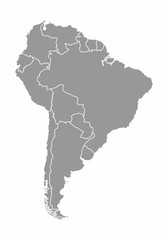 South america map illustrationfavorite_border favorite
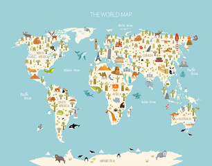 Print. World map with animals and architectural landmarks for kids. Eurasia, Africa, South America, North America, Australia. Cartoon animals.favorite_border favorite
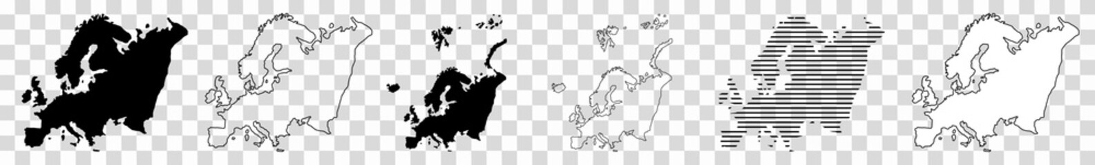 Europe Map Black European Border Continent Transparent Isolated Variationsfavorite_border favorite
 Pushpin on mapfavorite_border favorite
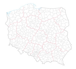 Polen Administrativ Verwaltungsgliederungfavorite_border favorite
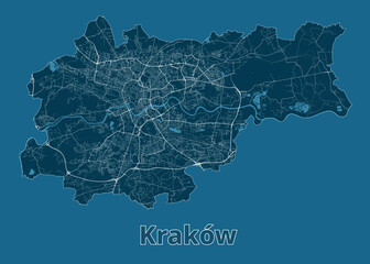 Kraków, Poland artistic blueprint map posterfavorite_border favorite
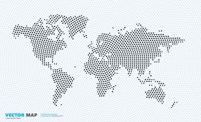 Vector world map with rounds, spots, dots for business templatesfavorite_border favorite
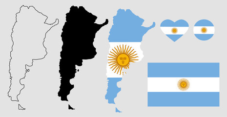 argentina map flag icon setfavorite_border favorite
 Poland map outline with stars and lines abstract framework.favorite_border favorite
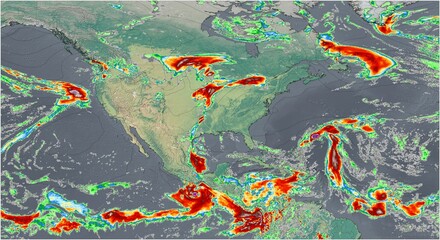 El mapa meteorológico muestra intensas precipitaciones en Norte America, destacando los importantes patrones de lluvia de la región.favorite_border favorite
 Red location pin icon – minimal map marker for GPS, navigation, travel, and place locator. Flat vector symbol for apps, address finding, and geolocation designfavorite_border favorite
 High detailed Multicolor Watercolor World Map with borders.favorite_border favorite
 Hand drawn infographic for mind map visualization template with light bulb as a main symbol, colorful circles and icons. Easy to use for your design or presentation.favorite_border favorite
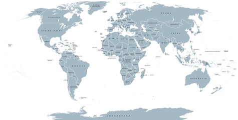 World political map. Detailed map of the world with shorelines, national borders and country names. Robinson projection, english labeling, grey illustration on white background.favorite_border favorite
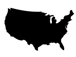 Black silhouette map of United States of Americafavorite_border favorite
 GPS Map to Route Destination network connection Location Street Map with GPS Icons Navigationfavorite_border favorite
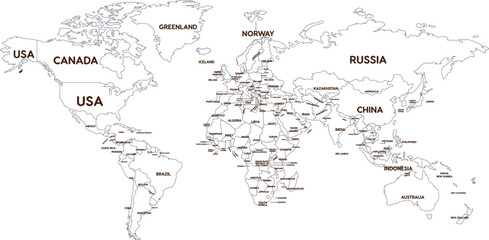 Outline World Map with Major Country Labelsfavorite_border favorite
 White Black Military Topographic Contour Map Vector Graphic Abstract Background. Topography Wavy Lines Pattern Modern Wide Abstraction. Outline Terrain Relief Cartography Geographical Map Illustrationfavorite_border favorite
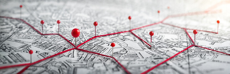 Routes with red pins on a city map. Concept on the adventure, discovery, navigation, communication, logistics, geography, transport and travel topics.favorite_border favorite
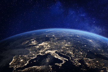 Europe at night from space, city lights, elements from NASAfavorite_border favorite
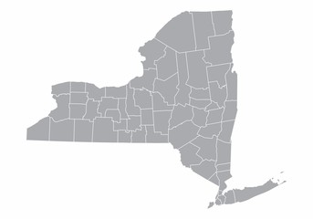 New York State mapfavorite_border favorite
 map iconfavorite_border favorite
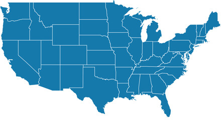 Editable vector file of the continental United States.favorite_border favorite
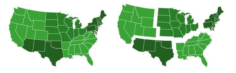 US map with hollow outlinefavorite_border favorite
 Ancient abstract earth relief old map. Generated conceptual vector elevation map of fantasy landscape.favorite_border favorite
 3D Illustration Computer-generated imagery CGI modeling HDRI 360º view panoramic lighting room interior studio lightsfavorite_border favorite
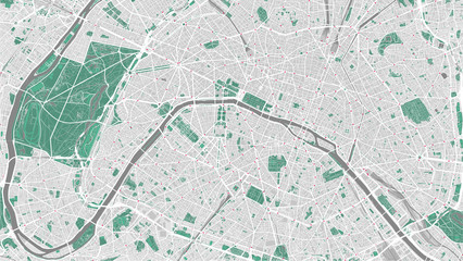 Detailed map of Paris, Francefavorite_border favorite
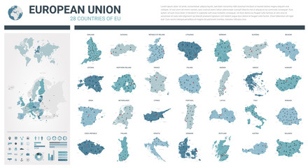 Vector maps set. High detailed 28 maps of European Union countries (member states) with administrative division and cities. Political map, map of Europe , world map, globe, infographic elements.favorite_border favorite
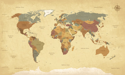 Weltkarte auf Deutsch - Vintage retro stil - Vektorisiert texte : länder, hauptstädte, inseln, meere...favorite_border favorite
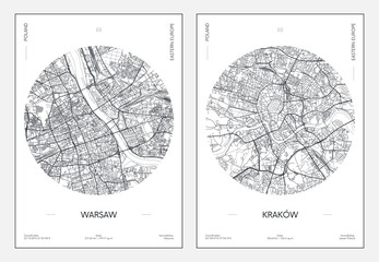 Travel poster, urban street plan city map Warsaw and Krakow, vector illustrationfavorite_border favorite
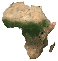 Large (97 MP) isolated satellite image of Africa. African continent from space. Detailed imagery / map of Africa in orthographic projection. Elements of this image furnished by NASA.favorite_border favorite
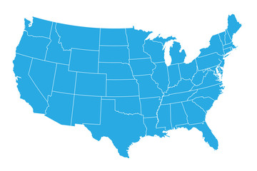 United States of American Mapfavorite_border favorite
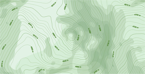 Abstract vector topographic map in green colorsfavorite_border favorite
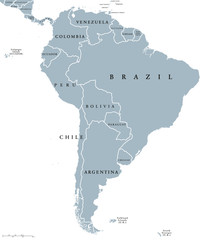 South America countries political map with national borders. Continent surrounded by Pacific and Atlantic Ocean. English labeling. Illustration.favorite_border favorite
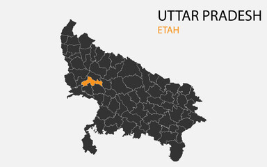 Uttar Pradesh png map with districts, Indian state Uttar Pradesh district map, Uttar Pradesh Etahfavorite_border favorite
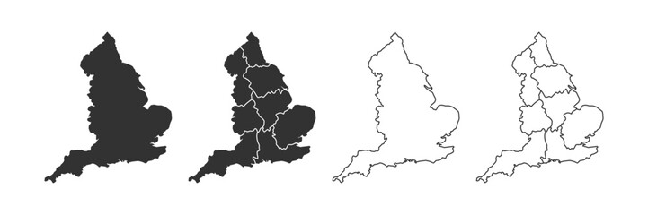 England map icon. English country border symbol. UK geography signs. Europe symbols. British kingdom icons. Black color. Vector sign.favorite_border favorite
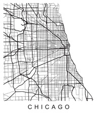 Vector design of the street map of Chicago against a white backgroundfavorite_border favorite
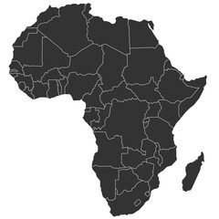 Detailed map of africafavorite_border favorite
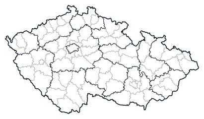 Czech republic vector map.favorite_border favorite
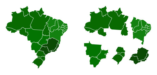 Mapa do Brasil e regiões com contorno vazadofavorite_border favorite
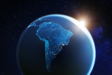 South America viewed from space with sunrise on planet Earth and stars, overview of Amazon river and forest, night lights from cities in Brazil, Argentina, Chile, Peru, map elements from NASA, 8kfavorite_border favorite
 World Map Isolated on White Background in Gray Color. Vector Illustrationfavorite_border favorite
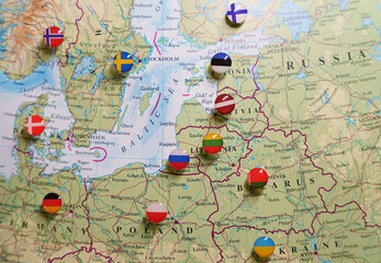 A close-up of a map focused on the Baltic Sea region, Eastern Europe, Scandinavia, with pushpins marking various locations and national flags indicating the countries.favorite_border favorite
 Abstract wavy topographic map. Abstract wavy and curved lines background. Abstract geometric topographic contour map background.favorite_border favorite
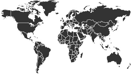 World Map with Country Bordersfavorite_border favorite
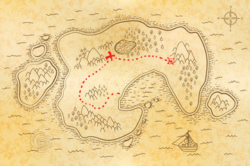 Ancient pirate map on old paper with red path to treasurefavorite_border favorite
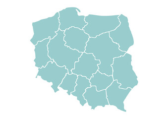 Mapa Polski z województwami na białym tle. Zarys mapy Polski. Ilustracja wektorowafavorite_border favorite
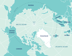 Greenland, North Pole, Arctic Ocean. Political map with the countries around the Arctic Circle 66 degrees. US, Canada, Sweden, Norway, Finland, Denmark, Iceland, Ireland, UK, Russia. Vectorfavorite_border favorite
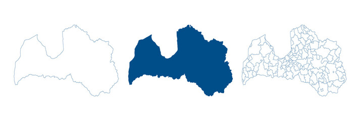 Latvia map vector. High detailed vector outline, blue silhouette and administrative divisions map of Latvia. All isolated on white background. Template for website, design, cover, infographicsfavorite_border favorite
 Abstract 3D digital topographic map with glowing data points and futuristic data analytics. Technology big data and geospatial concepts. Background 3D Renderingfavorite_border favorite
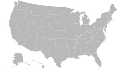 United States vector map with state boundaries, including Alaska & Hawaii (Albers equal area conic projection, PPT-compatible & fully editable)favorite_border favorite
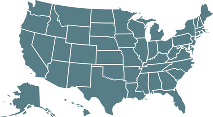 USA map with states isolated on a white background. Vector illustration of the map of the United States of America, AI-Generated Vectorfavorite_border favorite
 Urban vector city map of Wolverhampton, Englandfavorite_border favorite
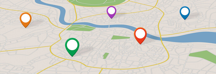 A generic city map with iconsfavorite_border favorite
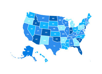 Blank similar USA map isolated on white background. United States of America usa country. Vector template usa for website, design, cover, infographics. Graph illustration.favorite_border favorite
 Black and white map of japan with pixelated design elements onfavorite_border favorite
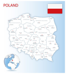 Detailed Poland administrative map with country flag and location on a blue globe. Vector illustrationfavorite_border favorite
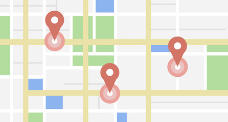 City map with some location tagsfavorite_border favorite
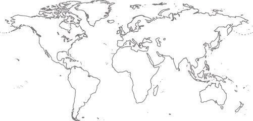 World map outline with highlighted continents and islands on a transparent backgroundfavorite_border favorite
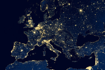 Earth at night, city lights showing human activity in Europe from space. Elements of this image furnished by NASA.favorite_border favorite
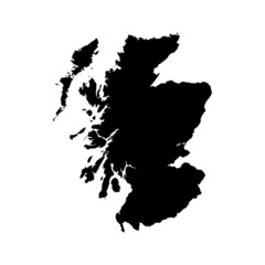 Scotland map vector, isolated on white background. Black template, flat earth. Simplified, generalized with round corners.favorite_border favorite
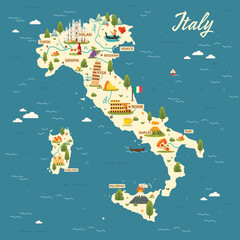 Touristic map of Italy with landmarks, cities, food, and culture icons. Colorful cartoon style showing main attractions and traditions of the country.favorite_border favorite
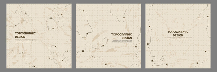 Vector illustration. Topographic map concept. Set of minimal square banners with retro graphics, marks, and trails. Line art pattern design on textured paper. Design for web banner, social mediafavorite_border favorite
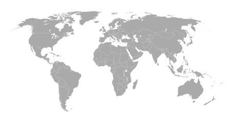 World map showing country borders. Gray world map isolated with border. Vector stock illustration.favorite_border favorite
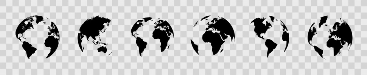 Earth globe set. World map in globe shape. Earth globes collection on isolated background. Flat style - stock vector.favorite_border favorite
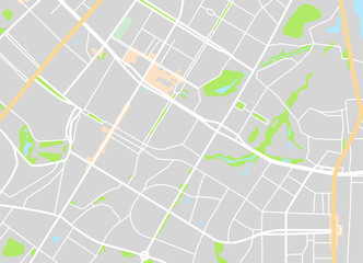 city map.favorite_border favorite
 Pin location icon for map and navigationfavorite_border favorite
 Ukraine map isolated on white backgroundfavorite_border favorite
 map of europefavorite_border favorite
 Location Spain. Red pin on the map.favorite_border favorite
 Middle East map vector free. Middle East map with county shape in single color. Vector map of geopolitical region middle east.favorite_border favorite
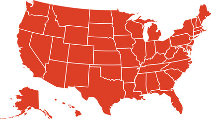 USA map with states isolated on a white background. Vector illustration of the map of the United States of America, AI-Generated Vectorfavorite_border favorite
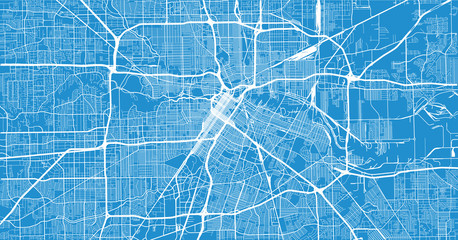 Urban vector city map of Houston, Texas, USAfavorite_border favorite
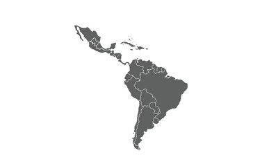 Latin America isolated on white background. for website layouts, reports, annual infographics, world,travel around the world, map silhouette backdrop.favorite_border favorite
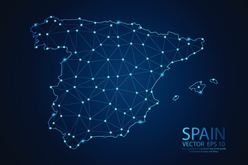 Abstract mesh line and point scales on dark background with map Of Spain. Wire frame 3D mesh polygonal network line, design sphere, dot and structure. Vector illustration eps 10.favorite_border favorite
 Abstract mash line and point scales on dark background with map of Brazil.3D mesh polygonal network line, design sphere, dot and structure. Vector illustration eps 10.favorite_border favorite
 Connected map of Europe vector illustration background – European Union concept: cooperation, technology, digitalization, futurefavorite_border favorite