-
Connected map of Europe vector illustration background – European Union concept: cooperation, technology, digitalization, future
Do ulubionych favorite_border
Usuń z ulubionych favorite
-
Road map and journey route infographics template. Winding road timeline illustration. Flat vector illustration. Eps 10
Do ulubionych favorite_border
Usuń z ulubionych favorite
-
Vintage map of Kraków, Poland.
Do ulubionych favorite_border
Usuń z ulubionych favorite
-
Physical map of North America, USA, Canada and Mexico, with high resolution details. Satellite view of Planet Earth. 3D illustration - Elements of this image furnished by NASA
Do ulubionych favorite_border
Usuń z ulubionych favorite
-
Mapa Polski z województwami na białym tle. Zarys mapy Polski. Ilustracja wektorowa
Do ulubionych favorite_border
Usuń z ulubionych favorite
-
Greater london boroughs map illustration with black white and outline variations for navigation and planning
Do ulubionych favorite_border
Usuń z ulubionych favorite
-
Poland country border map outline and silhouette vector graphic isolated image decal
Do ulubionych favorite_border
Usuń z ulubionych favorite
-
Earth at night, city lights showing human activity in Europe from space. Elements of this image furnished by NASA.
Do ulubionych favorite_border
Usuń z ulubionych favorite
-
Scotland map vector, isolated on white background. Black template, flat earth. Simplified, generalized with round corners.
Do ulubionych favorite_border
Usuń z ulubionych favorite
-
Fantasy map icons collection, vintage sketch style
Do ulubionych favorite_border
Usuń z ulubionych favorite
-
Do ulubionych favorite_border
Usuń z ulubionych favorite
-
Curved world map grey isolated on white background
Do ulubionych favorite_border
Usuń z ulubionych favorite
-
Germany map municipal, region, state division. Administrative borders, outline black on white background vector.
Do ulubionych favorite_border
Usuń z ulubionych favorite
-
Simplified vector illustration of world map
Do ulubionych favorite_border
Usuń z ulubionych favorite
-
geological map as a background close-up in green colors
Do ulubionych favorite_border
Usuń z ulubionych favorite
-
world map continents outline drawing
Do ulubionych favorite_border
Usuń z ulubionych favorite
-
Detailed map of the Asia-Pacific region, highlighting countries
Do ulubionych favorite_border
Usuń z ulubionych favorite
-
set of 4 political maps of Czech Republic with regions isolated on white background
Do ulubionych favorite_border
Usuń z ulubionych favorite
-
Roadmap icon set. Outline icons collection. Editable stroke. Vector illustration
Do ulubionych favorite_border
Usuń z ulubionych favorite
-
Vector black map of New york
Do ulubionych favorite_border
Usuń z ulubionych favorite
-
carte du monde avec frontières 11062015
Do ulubionych favorite_border
Usuń z ulubionych favorite
-
Do ulubionych favorite_border
Usuń z ulubionych favorite
-
old nautical treasure map background
Do ulubionych favorite_border
Usuń z ulubionych favorite
-
Fantasy world map with snowy mountains and green valleys, isometric game landscape vector, medieval adventure terrain with winding paths
Do ulubionych favorite_border
Usuń z ulubionych favorite
-
Navigation icons set with editable stroke, including location, navigation, direction, compass, map pin, route planner, geolocation. Thin linear vector illustration.
Do ulubionych favorite_border
Usuń z ulubionych favorite
-
Set of travel posters with Amsterdam, detailed urban street plan city map, Silhouette city skyline, vector artwork
Do ulubionych favorite_border
Usuń z ulubionych favorite
-
Washington (DC, USA) street map. The style of the map is blue lights
Do ulubionych favorite_border
Usuń z ulubionych favorite
-
Isometric Gps, graphic tourist map of territory. Smartphone map application. App search map navigation. Fragments of town. Futuristic route dashboard gps map tracking. Vector illustration,
Do ulubionych favorite_border
Usuń z ulubionych favorite
-
USA map – vector illustration of states and political boundaries
Do ulubionych favorite_border
Usuń z ulubionych favorite
-
Folded maps navigation with red color point markers map. World travel pin location on a global map for travel tourism trip planning world tour. 3d rendering
Do ulubionych favorite_border
Usuń z ulubionych favorite
-
Dark Burnt Edge Parchment Paper Texture Isolated on Transparent Background Antique Blank Scroll for Treasure Map
Do ulubionych favorite_border
Usuń z ulubionych favorite
-
Minimalist black vector icon illustration of a folded paper map with a location pin marker, symbolizing navigation, travel destination, GPS tracking, and geographical positioning for web design.
Do ulubionych favorite_border
Usuń z ulubionych favorite
-
Map location pin icon vector design illustration marker pointer symbol GPS navigation button label place sign travel internet business mark set 3D point
Do ulubionych favorite_border
Usuń z ulubionych favorite
-
Urban Cracow map. Detailed map of Kraków (Cracovia), Poland. City poster with streets and Wisła (Vistula) River. Dark fill version.
Do ulubionych favorite_border
Usuń z ulubionych favorite
-
India map dotted isolated on a white background. India Map background. Map of India with dots. Vector illustration
Do ulubionych favorite_border
Usuń z ulubionych favorite
-
Black and white map of japan with pixelated design elements on
Do ulubionych favorite_border
Usuń z ulubionych favorite
-
Colorful map of the United States of America. USA borders in a flat style isolated on white background. Vector template.
Do ulubionych favorite_border
Usuń z ulubionych favorite
-
The Greenlandic flag pinpointed on a map of Greenland, representing national identity and territorial sovereignty on Arctic region
Do ulubionych favorite_border
Usuń z ulubionych favorite
-
Detailed Poland administrative map with country flag and location on a blue globe. Vector illustration
Do ulubionych favorite_border
Usuń z ulubionych favorite
-
A charming hand-drawn illustration depicting various elements of camping and outdoor adventure, including tents, backpacks, and natural scenery.
Do ulubionych favorite_border
Usuń z ulubionych favorite
-
White and light grey Birmingham city area vector background map, streets and water cartography illustration.
Do ulubionych favorite_border
Usuń z ulubionych favorite
-
Red map pointer on city map isolated PNG, location pin icon for navigation and travel planning on transparent background
Do ulubionych favorite_border
Usuń z ulubionych favorite
-
Map Latin America. Poster map of Latin America. Black and white print map of Latin America for t-shirt, poster or geographic themes. Hand-drawn graphic map with countries. Vector Illustration
Do ulubionych favorite_border
Usuń z ulubionych favorite
-
Hiker planning a mountain trek using a detailed paper map with marked trail routes and location pins.
Do ulubionych favorite_border
Usuń z ulubionych favorite
-
World map with location pins and connection lines representing global logistics and tracking. Flat vector illustration of international shipping, supply chain, and global trade.
Do ulubionych favorite_border
Usuń z ulubionych favorite
-
vector city map of Paris, France
Do ulubionych favorite_border
Usuń z ulubionych favorite
-
Pirate treasure map of skull island vector sketch
Do ulubionych favorite_border
Usuń z ulubionych favorite
-
Set of Gps map navigation. Isometric city map. View from above map buildings. Detailed view of city. Abstract background. Flat style, Vector, illustration isolated
Do ulubionych favorite_border
Usuń z ulubionych favorite
-
City map navigation. GPS navigator. Point marker icon. Top view, view from above. Abstract background. Cute simple design. Flat style vector illustration.
Do ulubionych favorite_border
Usuń z ulubionych favorite
-
Illustrated map showing various landmarks and activities in a city layout.
Do ulubionych favorite_border
Usuń z ulubionych favorite
-
Asia-Pacific region, multi colored political map of the Indo-Pacific. Countries and territories of a major geopolitical and economic region of the world, adjoining the western Pacific Ocean. Vector
Do ulubionych favorite_border
Usuń z ulubionych favorite
-
Do ulubionych favorite_border
Usuń z ulubionych favorite
-
World map projection is showing continents, oceans, ice caps in flat design, transparent background
Do ulubionych favorite_border
Usuń z ulubionych favorite
-
Halftone world map with dot pattern, dot textured continents graphic map, black and white Earth infographic. Vector isolated template great for digital design.
Do ulubionych favorite_border
Usuń z ulubionych favorite
-
World Map with Country Borders
Do ulubionych favorite_border
Usuń z ulubionych favorite
-
Detailed negative navigation urban street roads map on dark gray background of the Polish regional capital city of Bydgoszcz, Poland
Do ulubionych favorite_border
Usuń z ulubionych favorite
-
Topographic map patterns, topography line map. Vintage outdoors style
Do ulubionych favorite_border
Usuń z ulubionych favorite
-
A close-up of a map focused on the Baltic Sea region, Eastern Europe, Scandinavia, with pushpins marking various locations and national flags indicating the countries.
Do ulubionych favorite_border
Usuń z ulubionych favorite
-
doodle freehand drawing of europe map.
Do ulubionych favorite_border
Usuń z ulubionych favorite
-
Urban vector city map of Lisbon, Portugal
Do ulubionych favorite_border
Usuń z ulubionych favorite
-
Political map of Ukraine in blue and yellow color
Do ulubionych favorite_border
Usuń z ulubionych favorite
-
All 206 Complete Countries Map of the World Pixel Perfect Icons (Filled Style). Every single country map are listed and isolated with wordings and titles. A complete maps of the world outline.
Do ulubionych favorite_border
Usuń z ulubionych favorite
-
USA Map. Poster map of United States of America. Infographic design, USA with states, poster or geographic, political theme. Print map of USA states, silhouettes outline. Vector Illustration
Do ulubionych favorite_border
Usuń z ulubionych favorite
-
Poland - infographic map and flag illustration
Do ulubionych favorite_border
Usuń z ulubionych favorite
-
Do ulubionych favorite_border
Usuń z ulubionych favorite
-
3d map of world Template for your design
Do ulubionych favorite_border
Usuń z ulubionych favorite
-
Tamil Nadu state map in orange – isolated flat vector graphic
Do ulubionych favorite_border
Usuń z ulubionych favorite
-
3D Realistic Location map pin gps pointer markers vector illustration for destination.
Do ulubionych favorite_border
Usuń z ulubionych favorite
-
City street map plan with river GPS place pins and navigation route between point markers. Vector blue color perspective view isometric illustration location schema
Do ulubionych favorite_border
Usuń z ulubionych favorite
-
Vector map of South Korea. High detailed country map with division, cities and capital Seoul. Political map, world map, infographic elements.
Do ulubionych favorite_border
Usuń z ulubionych favorite
-
Shaded relief map with vertical exaggeration of Poland. Created of Shuttle Radar Topography Mission (SRTM) free elevation data from NASA using 3D software.
Do ulubionych favorite_border
Usuń z ulubionych favorite
-
set of 4 political maps of United Kingdom with regions isolated on white background
Do ulubionych favorite_border
Usuń z ulubionych favorite
-
Fantasy map elements illustration, drawing, engraving, ink, line art, vector
Do ulubionych favorite_border
Usuń z ulubionych favorite
-
Administracyjna mapa polski
Do ulubionych favorite_border
Usuń z ulubionych favorite
-
Latin America countries political map with national borders. Countries from the northern border of Mexico to the southern tip of South America, including the Caribbean. English labeling. Illustration.
Do ulubionych favorite_border
Usuń z ulubionych favorite
-
Employee Experience journey map strategy framework infographic diagram chart illustration banner with icon vector template has recruit, hire, onboard, engage, develop, progress and exit. Presentation.
Do ulubionych favorite_border
Usuń z ulubionych favorite
-
Old colonial map of South America with a magnifying glass, compass and period glasses. Vintage style
Do ulubionych favorite_border
Usuń z ulubionych favorite
-
Hikers using map to navigate outdoor
Do ulubionych favorite_border
Usuń z ulubionych favorite
-
Vector city map of Austin, Texas.
Do ulubionych favorite_border
Usuń z ulubionych favorite
-
Animal map for kid. World vector poster for children, cute illustrated. Preschool cartoon globe with animals. Oceans and continent: South America,Eurasia,North America,Africa, Australia.Baby world map
Do ulubionych favorite_border
Usuń z ulubionych favorite
-
Pin map icon. GPS location pointer collection. Pin place icons collection. EPS 10
Do ulubionych favorite_border
Usuń z ulubionych favorite
-
Do ulubionych favorite_border
Usuń z ulubionych favorite
-
Do ulubionych favorite_border
Usuń z ulubionych favorite
-
Rzeszow, Poland bright vector map
Do ulubionych favorite_border
Usuń z ulubionych favorite
-
USA map, map of the United States of America with division on states
Do ulubionych favorite_border
Usuń z ulubionych favorite
-
vector map of the city of Dallas, Texas, USA
Do ulubionych favorite_border
Usuń z ulubionych favorite
-
Earth's city lights political map
Do ulubionych favorite_border
Usuń z ulubionych favorite
-
Luxury gold abstract line art background vector. Mountain topographic terrain map background with gold lines texture. Design illustration for wall art, fabric, packaging, web, banner, app, wallpaper.
Do ulubionych favorite_border
Usuń z ulubionych favorite
-
World map on grey background
Do ulubionych favorite_border
Usuń z ulubionych favorite
-
Airplane routes set. Plane paths. Aircraft tracking, planes, travel, map pins, location pins. Vector illustration.
Do ulubionych favorite_border
Usuń z ulubionych favorite
-
france map - High detailed Black map with counties/regions/states of france. france map isolated on transparent background.
Do ulubionych favorite_border
Usuń z ulubionych favorite
-
set of 3 maps of Philippines - vector illustrations
Do ulubionych favorite_border
Usuń z ulubionych favorite
-
Map mobile app planning travel. Isometric map. City map route, location symbols and navigational system mark. Vector, illustration isolated on white background.
Do ulubionych favorite_border
Usuń z ulubionych favorite
-
Simple world map in flat style isolated on white background. Vector illustration.
Do ulubionych favorite_border
Usuń z ulubionych favorite
-
Do ulubionych favorite_border
Usuń z ulubionych favorite
-
3d isometric map of Iberian Peninsula region, isolated with shadow
Do ulubionych favorite_border
Usuń z ulubionych favorite
-
USA map. USA vector icons. American map. United States of America map in flat and lines design. Vector illustration
Do ulubionych favorite_border
Usuń z ulubionych favorite
-
City map with some location tags
Do ulubionych favorite_border
Usuń z ulubionych favorite
-
Do ulubionych favorite_border
Usuń z ulubionych favorite
 Connected map of Europe vector illustration background – European Union concept: cooperation, technology, digitalization, futurefavorite_border favorite
 Road map and journey route infographics template. Winding road timeline illustration. Flat vector illustration. Eps 10favorite_border favorite
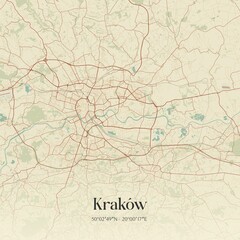 Vintage map of Kraków, Poland.favorite_border favorite
 Physical map of North America, USA, Canada and Mexico, with high resolution details. Satellite view of Planet Earth. 3D illustration - Elements of this image furnished by NASAfavorite_border favorite
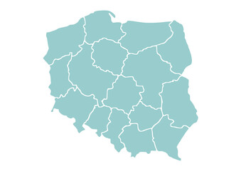 Mapa Polski z województwami na białym tle. Zarys mapy Polski. Ilustracja wektorowafavorite_border favorite
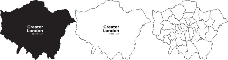 Greater london boroughs map illustration with black white and outline variations for navigation and planningfavorite_border favorite
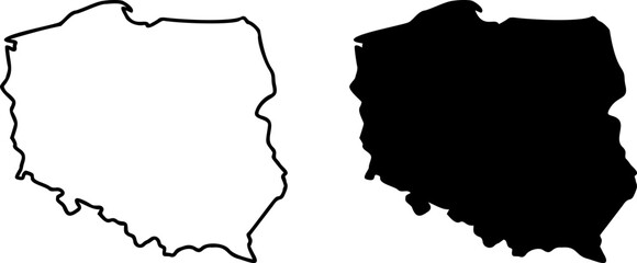 Poland country border map outline and silhouette vector graphic isolated image decalfavorite_border favorite
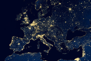 Earth at night, city lights showing human activity in Europe from space. Elements of this image furnished by NASA.favorite_border favorite
 Scotland map vector, isolated on white background. Black template, flat earth. Simplified, generalized with round corners.favorite_border favorite
 Fantasy map icons collection, vintage sketch stylefavorite_border favorite
 black map of Denmarkfavorite_border favorite
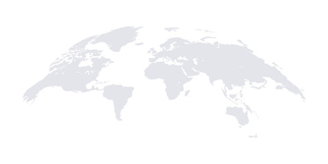 Curved world map grey isolated on white backgroundfavorite_border favorite
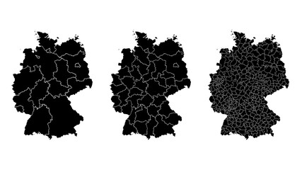 Germany map municipal, region, state division. Administrative borders, outline black on white background vector.favorite_border favorite
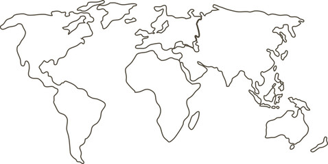 Simplified vector illustration of world mapfavorite_border favorite
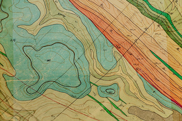 geological map as a background close-up in green colorsfavorite_border favorite
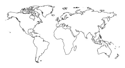 world map continents outline drawingfavorite_border favorite
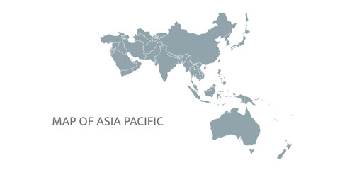 Detailed map of the Asia-Pacific region, highlighting countriesfavorite_border favorite
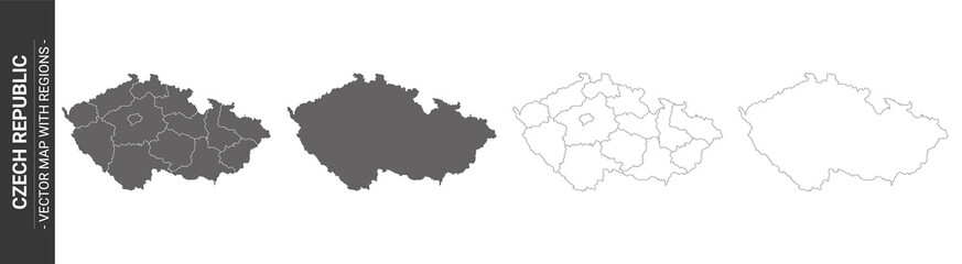 set of 4 political maps of Czech Republic with regions isolated on white backgroundfavorite_border favorite
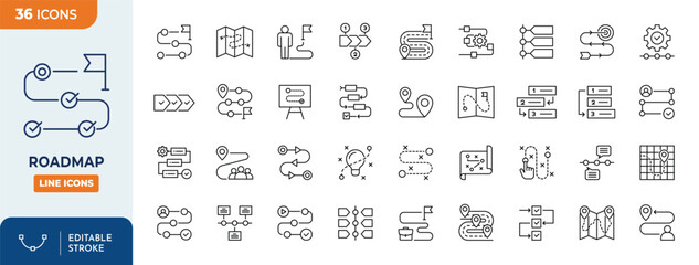 Roadmap icon set. Outline icons collection. Editable stroke. Vector illustrationfavorite_border favorite
 Vector black map of New yorkfavorite_border favorite
 carte du monde avec frontières 11062015favorite_border favorite
 map iconfavorite_border favorite
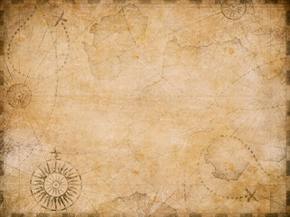 old nautical treasure map backgroundfavorite_border favorite
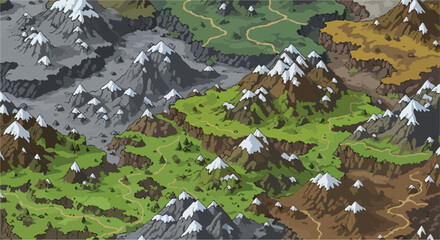 Fantasy world map with snowy mountains and green valleys, isometric game landscape vector, medieval adventure terrain with winding pathsfavorite_border favorite
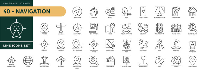 Navigation icons set with editable stroke, including location, navigation, direction, compass, map pin, route planner, geolocation. Thin linear vector illustration.favorite_border favorite
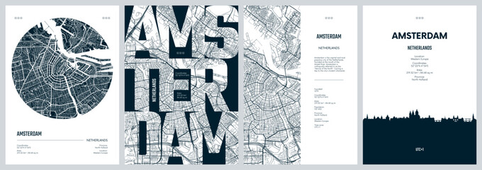 Set of travel posters with Amsterdam, detailed urban street plan city map, Silhouette city skyline, vector artworkfavorite_border favorite
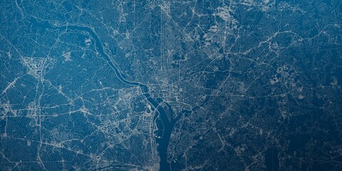 Washington (DC, USA) street map. The style of the map is blue lightsfavorite_border favorite
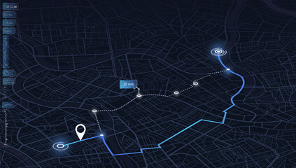 Isometric Gps, graphic tourist map of territory. Smartphone map application. App search map navigation. Fragments of town. Futuristic route dashboard gps map tracking. Vector illustration,favorite_border favorite
 USA map – vector illustration of states and political boundariesfavorite_border favorite
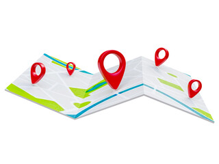 Folded maps navigation with red color point markers map. World travel pin location on a global map for travel tourism trip planning world tour. 3d renderingfavorite_border favorite
 Dark Burnt Edge Parchment Paper Texture Isolated on Transparent Background Antique Blank Scroll for Treasure Mapfavorite_border favorite
 Minimalist black vector icon illustration of a folded paper map with a location pin marker, symbolizing navigation, travel destination, GPS tracking, and geographical positioning for web design.favorite_border favorite
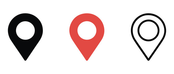 Map location pin icon vector design illustration marker pointer symbol GPS navigation button label place sign travel internet business mark set 3D pointfavorite_border favorite
 Urban Cracow map. Detailed map of Kraków (Cracovia), Poland. City poster with streets and Wisła (Vistula) River. Dark fill version.favorite_border favorite
 India map dotted isolated on a white background. India Map background. Map of India with dots. Vector illustrationfavorite_border favorite
 Black and white map of japan with pixelated design elements onfavorite_border favorite
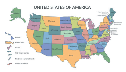 Colorful map of the United States of America. USA borders in a flat style isolated on white background. Vector template.favorite_border favorite
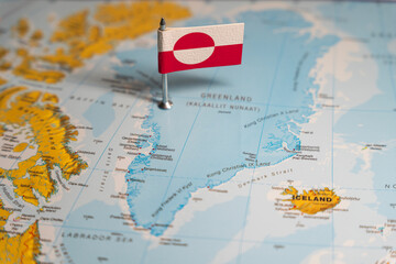 The Greenlandic flag pinpointed on a map of Greenland, representing national identity and territorial sovereignty on Arctic regionfavorite_border favorite
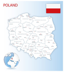 Detailed Poland administrative map with country flag and location on a blue globe. Vector illustrationfavorite_border favorite
 A charming hand-drawn illustration depicting various elements of camping and outdoor adventure, including tents, backpacks, and natural scenery.favorite_border favorite
 White and light grey Birmingham city area vector background map, streets and water cartography illustration.favorite_border favorite
 Red map pointer on city map isolated PNG, location pin icon for navigation and travel planning on transparent backgroundfavorite_border favorite
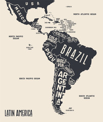 Map Latin America. Poster map of Latin America. Black and white print map of Latin America for t-shirt, poster or geographic themes. Hand-drawn graphic map with countries. Vector Illustrationfavorite_border favorite
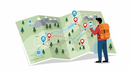 Hiker planning a mountain trek using a detailed paper map with marked trail routes and location pins.favorite_border favorite
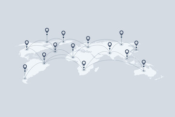 World map with location pins and connection lines representing global logistics and tracking. Flat vector illustration of international shipping, supply chain, and global trade.favorite_border favorite
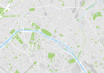 vector city map of Paris, Francefavorite_border favorite
 Pirate treasure map of skull island vector sketchfavorite_border favorite
 Set of Gps map navigation. Isometric city map. View from above map buildings. Detailed view of city. Abstract background. Flat style, Vector, illustration isolatedfavorite_border favorite
 City map navigation. GPS navigator. Point marker icon. Top view, view from above. Abstract background. Cute simple design. Flat style vector illustration.favorite_border favorite
 Illustrated map showing various landmarks and activities in a city layout.favorite_border favorite
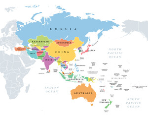 Asia-Pacific region, multi colored political map of the Indo-Pacific. Countries and territories of a major geopolitical and economic region of the world, adjoining the western Pacific Ocean. Vectorfavorite_border favorite
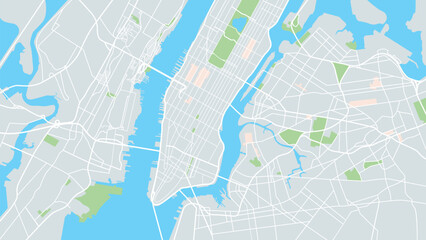 New York city mapfavorite_border favorite
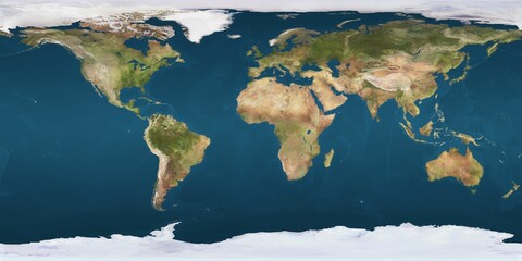 World map projection is showing continents, oceans, ice caps in flat design, transparent backgroundfavorite_border favorite
 Halftone world map with dot pattern, dot textured continents graphic map, black and white Earth infographic. Vector isolated template great for digital design.favorite_border favorite
 World Map with Country Bordersfavorite_border favorite
 Detailed negative navigation urban street roads map on dark gray background of the Polish regional capital city of Bydgoszcz, Polandfavorite_border favorite
 Topographic map patterns, topography line map. Vintage outdoors stylefavorite_border favorite
 A close-up of a map focused on the Baltic Sea region, Eastern Europe, Scandinavia, with pushpins marking various locations and national flags indicating the countries.favorite_border favorite
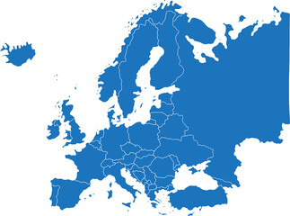 doodle freehand drawing of europe map.favorite_border favorite
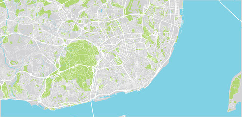 Urban vector city map of Lisbon, Portugalfavorite_border favorite
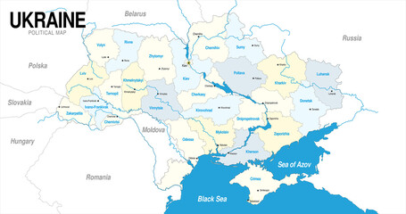 Political map of Ukraine in blue and yellow colorfavorite_border favorite
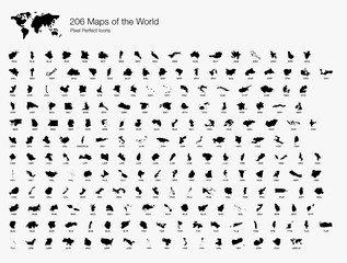 All 206 Complete Countries Map of the World Pixel Perfect Icons (Filled Style). Every single country map are listed and isolated with wordings and titles. A complete maps of the world outline.favorite_border favorite
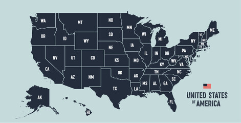 USA Map. Poster map of United States of America. Infographic design, USA with states, poster or geographic, political theme. Print map of USA states, silhouettes outline. Vector Illustrationfavorite_border favorite
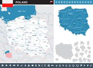 Poland - infographic map and flag illustrationfavorite_border favorite
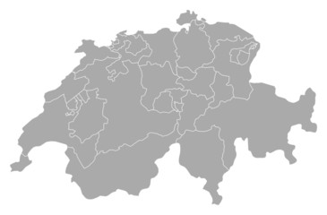 Map of Swizerlandfavorite_border favorite
 3d map of world Template for your designfavorite_border favorite
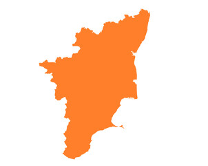 Tamil Nadu state map in orange – isolated flat vector graphicfavorite_border favorite
 3D Realistic Location map pin gps pointer markers vector illustration for destination.favorite_border favorite
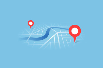 City street map plan with river GPS place pins and navigation route between point markers. Vector blue color perspective view isometric illustration location schemafavorite_border favorite
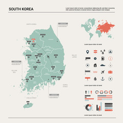 Vector map of South Korea. High detailed country map with division, cities and capital Seoul. Political map, world map, infographic elements.favorite_border favorite
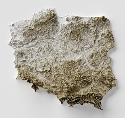 Shaded relief map with vertical exaggeration of Poland. Created of Shuttle Radar Topography Mission (SRTM) free elevation data from NASA using 3D software.favorite_border favorite
 set of 4 political maps of United Kingdom with regions isolated on white backgroundfavorite_border favorite
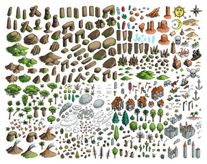 Fantasy map elements illustration, drawing, engraving, ink, line art, vectorfavorite_border favorite
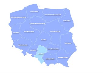 Administracyjna mapa polskifavorite_border favorite
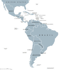 Latin America countries political map with national borders. Countries from the northern border of Mexico to the southern tip of South America, including the Caribbean. English labeling. Illustration.favorite_border favorite
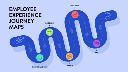 Employee Experience journey map strategy framework infographic diagram chart illustration banner with icon vector template has recruit, hire, onboard, engage, develop, progress and exit. Presentation.favorite_border favorite
 Old colonial map of South America with a magnifying glass, compass and period glasses. Vintage stylefavorite_border favorite
 Hikers using map to navigate outdoorfavorite_border favorite
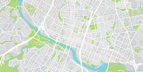 Vector city map of Austin, Texas.favorite_border favorite
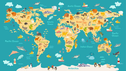 Animal map for kid. World vector poster for children, cute illustrated. Preschool cartoon globe with animals. Oceans and continent: South America,Eurasia,North America,Africa, Australia.Baby world mapfavorite_border favorite
 Pin map icon. GPS location pointer collection. Pin place icons collection. EPS 10favorite_border favorite
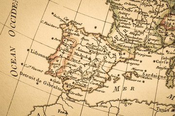 アンティークの古地図 イベリア半島favorite_border favorite
 地図作成のための素材favorite_border favorite
 Rzeszow, Poland bright vector mapfavorite_border favorite
 USA map, map of the United States of America with division on statesfavorite_border favorite
 vector map of the city of Dallas, Texas, USAfavorite_border favorite
 Earth's city lights political mapfavorite_border favorite
 Luxury gold abstract line art background vector. Mountain topographic terrain map background with gold lines texture. Design illustration for wall art, fabric, packaging, web, banner, app, wallpaper.favorite_border favorite
 World map on grey backgroundfavorite_border favorite
 Airplane routes set. Plane paths. Aircraft tracking, planes, travel, map pins, location pins. Vector illustration.favorite_border favorite
 france map - High detailed Black map with counties/regions/states of france. france map isolated on transparent background.favorite_border favorite
 set of 3 maps of Philippines - vector illustrationsfavorite_border favorite
 Map mobile app planning travel. Isometric map. City map route, location symbols and navigational system mark. Vector, illustration isolated on white background.favorite_border favorite
 Simple world map in flat style isolated on white background. Vector illustration.favorite_border favorite
 Singapore mapfavorite_border favorite
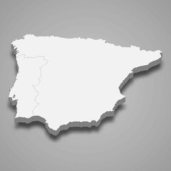 3d isometric map of Iberian Peninsula region, isolated with shadowfavorite_border favorite
 USA map. USA vector icons. American map. United States of America map in flat and lines design. Vector illustrationfavorite_border favorite
 City map with some location tagsfavorite_border favorite
 mapfavorite_border favorite