-
Mapa portugal com regiões e concelhos, distritos
Do ulubionych favorite_border
Usuń z ulubionych favorite
-
Two People Looking At City Map
Do ulubionych favorite_border
Usuń z ulubionych favorite
-
Curved World Map Vector Isolated Design
Do ulubionych favorite_border
Usuń z ulubionych favorite
-
United States of America map. USA map with states on a white background. Vector illustration
Do ulubionych favorite_border
Usuń z ulubionych favorite
-
Berlin, Germany downtown street map
Do ulubionych favorite_border
Usuń z ulubionych favorite
-
Set of isolated Japan maps with regions. Isolated borders, departments, municipalities.
Do ulubionych favorite_border
Usuń z ulubionych favorite
-
Do ulubionych favorite_border
Usuń z ulubionych favorite
-
Do ulubionych favorite_border
Usuń z ulubionych favorite
-
Abstract map of Spain with red circle lines
Do ulubionych favorite_border
Usuń z ulubionych favorite
-
India map isolated on white background. India map with states. Indian background. Vector illustration
Do ulubionych favorite_border
Usuń z ulubionych favorite
-
Blue worn vintage world map illustration
Do ulubionych favorite_border
Usuń z ulubionych favorite
-
central asia map. middl east map. arabia countries vector map.
Do ulubionych favorite_border
Usuń z ulubionych favorite
-
Gold world map, golden world map
Do ulubionych favorite_border
Usuń z ulubionych favorite
-
Great city map creator.Seamless pattern map and Houses, infrastructure, industrial, transport, village and countryside set. Make your perfect city
Do ulubionych favorite_border
Usuń z ulubionych favorite
-
Stock Vector Illustration: Map icons
Do ulubionych favorite_border
Usuń z ulubionych favorite
-
Detailed silhouette map of the united kingdom and ireland showing coastlines and islands. vector design. Silhouette vector design illustration
Do ulubionych favorite_border
Usuń z ulubionych favorite
-
Do ulubionych favorite_border
Usuń z ulubionych favorite
-
Italy map – vector illustration of regions and political borders
Do ulubionych favorite_border
Usuń z ulubionych favorite
-
Stylized topographic contour map. Geographic line mountain relief. Abstract lines or wavy backdrop background. Cartography, topology, or terrain path concept. Vector illustration with editable stroke
Do ulubionych favorite_border
Usuń z ulubionych favorite
-
Blue thumbtack marking and showing destination location point on map background with copy space
Do ulubionych favorite_border
Usuń z ulubionych favorite
-
World Map, Very high resolution world map, isolated on white background. Infographic, Flat Earth, Globe similar world map icon. annual report, Travel worldwide, map silhouette.
Do ulubionych favorite_border
Usuń z ulubionych favorite
-
Do ulubionych favorite_border
Usuń z ulubionych favorite
-
Travel. Trip. Vacation - Top view airplane with touristic map
Do ulubionych favorite_border
Usuń z ulubionych favorite
-
Selective focus of Colorful Many pins on map background
Do ulubionych favorite_border
Usuń z ulubionych favorite
-
Blank map State Assam of India. High quality map Assam with municipalities on transparent background for your web site design, logo, app, UI. Republic of India. EPS10.
Do ulubionych favorite_border
Usuń z ulubionych favorite
-
Blue map of Brisbane city, linear print map. Cityscape panorama.
Do ulubionych favorite_border
Usuń z ulubionych favorite
-
World map with animals in water and on earth. Geography and fauna of planet. Wildlife, nature for kids.Continents, oceans, mammals and fishes for preschool children. Colored flat vector illustration
Do ulubionych favorite_border
Usuń z ulubionych favorite
-
United States of America map. USA map with and without states isolated, vector
Do ulubionych favorite_border
Usuń z ulubionych favorite
-
World Map - Political - Vector Detailed Illustration
Do ulubionych favorite_border
Usuń z ulubionych favorite
-
Monochrome city map with road network of Amsterdam
Do ulubionych favorite_border
Usuń z ulubionych favorite
-
Colombia map vector illustration on white background. Map have all province and mark the capital city of Colombia.
Do ulubionych favorite_border
Usuń z ulubionych favorite
-
Blue-gray detailed map of Poland and administrative divisions and location on the globe. Vector illustration
Do ulubionych favorite_border
Usuń z ulubionych favorite
-
Antique bronze emblem compass on a retro world map vintage style.
Do ulubionych favorite_border
Usuń z ulubionych favorite
-
Flat world flora and fauna map constructor elements. Animals, birds and sea life isolated big set. Build your own geography infographics collection.
Do ulubionych favorite_border
Usuń z ulubionych favorite
-
vector Germany federal states map with administrative districts and subdivisions
Do ulubionych favorite_border
Usuń z ulubionych favorite
-
benelux map set isolated on white background.netherlands Luxembourg Belgium map
Do ulubionych favorite_border
Usuń z ulubionych favorite
-
Chile Map Black Chilean Border State Country Transparent Isolated Variations
Do ulubionych favorite_border
Usuń z ulubionych favorite
-
Do ulubionych favorite_border
Usuń z ulubionych favorite
-
High-tech digital topographic map with glowing data points, GPS markers, and geospatial analytics. Technology big data and geospatial concepts. Future abstract background 3d Rendering
Do ulubionych favorite_border
Usuń z ulubionych favorite
-
Vector isolated illustration of simplified political map of some scandinavian countries (Sweden, Finland, Norway, Denmark) and nearest areas. Borders of the states. Grey silhouettes. White outline
Do ulubionych favorite_border
Usuń z ulubionych favorite
-
Do ulubionych favorite_border
Usuń z ulubionych favorite
-
businessman lost in field using a map
Do ulubionych favorite_border
Usuń z ulubionych favorite
-
World map silhouette, gray and white, flat design, world map template, vector illustration.
Do ulubionych favorite_border
Usuń z ulubionych favorite
-
Detailed vector illustration of a world map showing continents, countries, and natural features oceans and seas .
Do ulubionych favorite_border
Usuń z ulubionych favorite
-
Do ulubionych favorite_border
Usuń z ulubionych favorite
-
Detailed vector blue map of Germany with administrative divisions into lands and regions of the country
Do ulubionych favorite_border
Usuń z ulubionych favorite
-
Main regions of Asia. Political map with single countries. Colored subregions of the Asian continent. Central, East, North, South, Southeast and Western Asia. English labeled. Illustration. Vector.
Do ulubionych favorite_border
Usuń z ulubionych favorite
-
graphic vector map of ukraine. ukraine map. europe country map.
Do ulubionych favorite_border
Usuń z ulubionych favorite
-
Set of map pin location icons. Modern map markers. Map pin place marker. Location icon. Map marker pointer icon set.
Do ulubionych favorite_border
Usuń z ulubionych favorite
-
Abstract of spain map network, internet and global connection concept, Wire Frame 3D mesh polygonal network line, design sphere, dot and structure. Vector illustration eps 10.
Do ulubionych favorite_border
Usuń z ulubionych favorite
-
Africa map outline graphic freehand drawing on white background. Vector illustration.
Do ulubionych favorite_border
Usuń z ulubionych favorite
-
world map line art drawing design vector illustration isolated on transparent background
Do ulubionych favorite_border
Usuń z ulubionych favorite
-
Europe map with countries flags
Do ulubionych favorite_border
Usuń z ulubionych favorite
-
Ornate compass design on an aged map background
Do ulubionych favorite_border
Usuń z ulubionych favorite
-
Do ulubionych favorite_border
Usuń z ulubionych favorite
-
3d illustration of a highly detailed world map. Elements of this image furnished by NASA.
Do ulubionych favorite_border
Usuń z ulubionych favorite
-
Topographic map lines, contour background, Vector contour topographic map background. Topography and geography map grid abstract backdrop, Luxury black abstract line art.
Do ulubionych favorite_border
Usuń z ulubionych favorite
-
Earth at night from outer space with city lights on North America continent. 3D rendering illustration. Earth map texture provided by Nasa. Energy consumption, electricity, industry, ecology concepts.
Do ulubionych favorite_border
Usuń z ulubionych favorite
-
Detail world map with national borders, 3d render
Do ulubionych favorite_border
Usuń z ulubionych favorite
-
outline scandinavian map icon set isolated on white background
Do ulubionych favorite_border
Usuń z ulubionych favorite
-
city map with Pin Pointers 3d rendering image
Do ulubionych favorite_border
Usuń z ulubionych favorite
-
Locations marked with pins on world map, global communication network, closeup
Do ulubionych favorite_border
Usuń z ulubionych favorite
-
Map of USA with state abbreviations
Do ulubionych favorite_border
Usuń z ulubionych favorite
-
Netherlands black map on white background vector
Do ulubionych favorite_border
Usuń z ulubionych favorite
-
set of 3 maps of Kosovo - vector illustrations
Do ulubionych favorite_border
Usuń z ulubionych favorite
-
Global network connection. World map point and line composition concept of global business. Vector Illustration
Do ulubionych favorite_border
Usuń z ulubionych favorite
-
Hungary political map with capital Budapest, national borders, important cities, rivers and lakes. English labeling and scaling. Illustration.
Do ulubionych favorite_border
Usuń z ulubionych favorite
-
Do ulubionych favorite_border
Usuń z ulubionych favorite
-
Outline of the map of Poland with regions
Do ulubionych favorite_border
Usuń z ulubionych favorite
-
Detailed vector map of regions of South Korea with flag
Do ulubionych favorite_border
Usuń z ulubionych favorite
-
World map silhouette, blue and white color, flat design, vector illustration.
Do ulubionych favorite_border
Usuń z ulubionych favorite
-
Greece map set. Greek country black map. Vector symbol
Do ulubionych favorite_border
Usuń z ulubionych favorite
-
india map silhouette on transparent background
Do ulubionych favorite_border
Usuń z ulubionych favorite
-
Black and white noise reflection map displacement map motion graphic asset. Noise moving black and white height map for creating gold, and silver metallic textures. Smooth curvy map bg.
Do ulubionych favorite_border
Usuń z ulubionych favorite
-
Physical map of Western Europe, with high resolution details. Flattened satellite view of Planet Earth, its geography and topography. 3D illustration - Elements of this image furnished by NASA
Do ulubionych favorite_border
Usuń z ulubionych favorite
-
Futuristic Europe outline connectivity map with lines, stars, triangles, light particles framework.
Do ulubionych favorite_border
Usuń z ulubionych favorite
-
White wave paper curved reliefs abstract background, Abstract topographic contours map background, Vector contour topographic map background. Topography and geography map grid abstract backdrop.
Do ulubionych favorite_border
Usuń z ulubionych favorite
-
Urban vector city map of Yokohama, Japan
Do ulubionych favorite_border
Usuń z ulubionych favorite
-
Detail world map with national borders, 3d render
Do ulubionych favorite_border
Usuń z ulubionych favorite
-
City map with some location tags
Do ulubionych favorite_border
Usuń z ulubionych favorite
-
India map silhouette black and white outline graphic design.
Do ulubionych favorite_border
Usuń z ulubionych favorite
-
World map. Continents with the contours of the countries. Vector drawing
Do ulubionych favorite_border
Usuń z ulubionych favorite
-
Map of Warsaw city with districts
Do ulubionych favorite_border
Usuń z ulubionych favorite
-
World map of hexagon dots, led uppercase English alphabet, vector illustration
Do ulubionych favorite_border
Usuń z ulubionych favorite
-
Detailed map of New York City, USA
Do ulubionych favorite_border
Usuń z ulubionych favorite
-
Old drawn map of the medieval world
Do ulubionych favorite_border
Usuń z ulubionych favorite
-
Abstract geometric futuristic concept 3d Map of Malaysia with borders as scribble, blue neon style. 3d rendering
Do ulubionych favorite_border
Usuń z ulubionych favorite
-
Samara city map - town streets on the plan. Map of the scheme of road. Urban environment, architectural background. Vector
Do ulubionych favorite_border
Usuń z ulubionych favorite
-
Detailed map of the Asia-Pacific region, highlighting countries
Do ulubionych favorite_border
Usuń z ulubionych favorite
-
Vector color detailed map of Netherlands with the administrative divisions of the country, each Provinces is presented separately and divided into Municipalities
Do ulubionych favorite_border
Usuń z ulubionych favorite
-
Set of MAURITIUS Maps with Main Map and Regional maps
Do ulubionych favorite_border
Usuń z ulubionych favorite
-
North Atlantic organization member states on map of the world
Do ulubionych favorite_border
Usuń z ulubionych favorite
-
Realistic topographic map with brown contour lines, elevation marks, and natural green terrain features with river. Ideal for geographic, educational, or design projects. 16:9
Do ulubionych favorite_border
Usuń z ulubionych favorite
-
3d red map location pointer. Pin code icon of the geolocation map. Plastic cartoon style. Stock vector illustration on isolated background.
Do ulubionych favorite_border
Usuń z ulubionych favorite
-
Asia vector map southeast country, Asian east continent icon silhouette china malaysia japan
Do ulubionych favorite_border
Usuń z ulubionych favorite
-
Puerto Rico map vector illustration, scribble sketch Puerto Rico
Do ulubionych favorite_border
Usuń z ulubionych favorite
-
Do ulubionych favorite_border
Usuń z ulubionych favorite
-
Urban vector city map of Vancouver, Canada
Do ulubionych favorite_border
Usuń z ulubionych favorite
-
Greater Poland region location within Poland 3d map
Do ulubionych favorite_border
Usuń z ulubionych favorite
-
vector mape of european union borders
Do ulubionych favorite_border
Usuń z ulubionych favorite
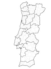 Mapa portugal com regiões e concelhos, distritosfavorite_border favorite
 Two People Looking At City Mapfavorite_border favorite
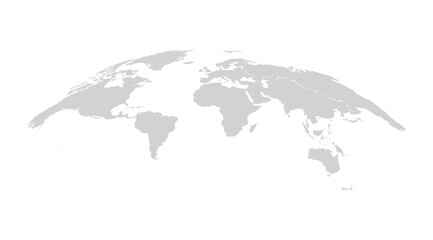 Curved World Map Vector Isolated Designfavorite_border favorite
 United States of America map. USA map with states on a white background. Vector illustrationfavorite_border favorite
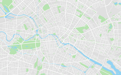 Berlin, Germany downtown street mapfavorite_border favorite
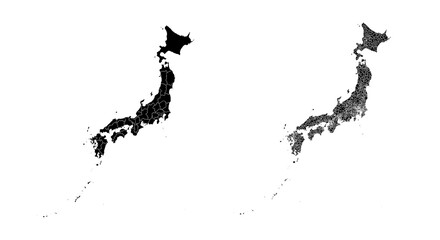 Set of isolated Japan maps with regions. Isolated borders, departments, municipalities.favorite_border favorite
 map of Spainfavorite_border favorite
 Poland Political Mapfavorite_border favorite
 Abstract map of Spain with red circle linesfavorite_border favorite
 India map isolated on white background. India map with states. Indian background. Vector illustrationfavorite_border favorite
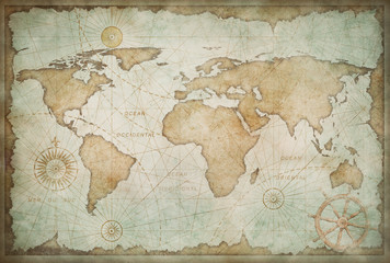 Blue worn vintage world map illustrationfavorite_border favorite
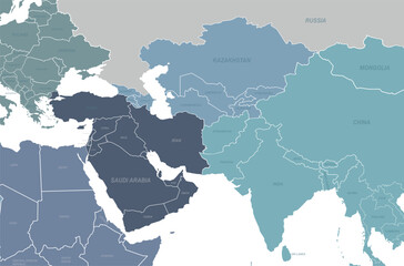 central asia map. middl east map. arabia countries vector map.favorite_border favorite
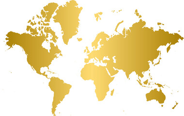 Gold world map, golden world mapfavorite_border favorite
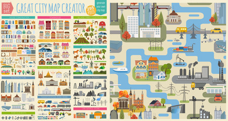 Great city map creator.Seamless pattern map and Houses, infrastructure, industrial, transport, village and countryside set. Make your perfect cityfavorite_border favorite
 Stock Vector Illustration: Map iconsfavorite_border favorite
 Detailed silhouette map of the united kingdom and ireland showing coastlines and islands. vector design. Silhouette vector design illustrationfavorite_border favorite
 Mapa gris de Andalucía.favorite_border favorite
 Italy map – vector illustration of regions and political bordersfavorite_border favorite
 Stylized topographic contour map. Geographic line mountain relief. Abstract lines or wavy backdrop background. Cartography, topology, or terrain path concept. Vector illustration with editable strokefavorite_border favorite
 Blue thumbtack marking and showing destination location point on map background with copy spacefavorite_border favorite
 World Map, Very high resolution world map, isolated on white background. Infographic, Flat Earth, Globe similar world map icon. annual report, Travel worldwide, map silhouette.favorite_border favorite
 台湾の地図favorite_border favorite
 Travel. Trip. Vacation - Top view airplane with touristic mapfavorite_border favorite
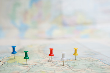 Selective focus of Colorful Many pins on map backgroundfavorite_border favorite
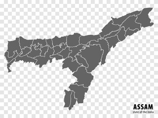 Blank map State Assam of India. High quality map Assam with municipalities on transparent background for your web site design, logo, app, UI. Republic of India. EPS10.favorite_border favorite
 Blue map of Brisbane city, linear print map. Cityscape panorama.favorite_border favorite
 World map with animals in water and on earth. Geography and fauna of planet. Wildlife, nature for kids.Continents, oceans, mammals and fishes for preschool children. Colored flat vector illustrationfavorite_border favorite
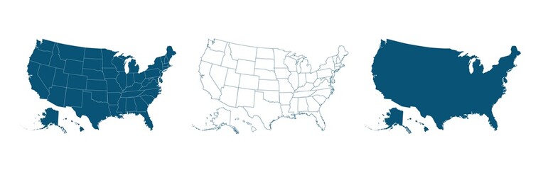 United States of America map. USA map with and without states isolated, vectorfavorite_border favorite
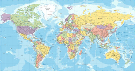 World Map - Political - Vector Detailed Illustrationfavorite_border favorite
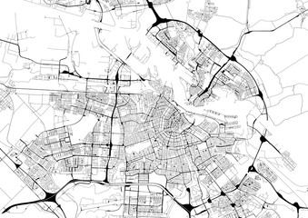 Monochrome city map with road network of Amsterdamfavorite_border favorite
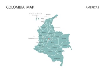 Colombia map vector illustration on white background. Map have all province and mark the capital city of Colombia.favorite_border favorite
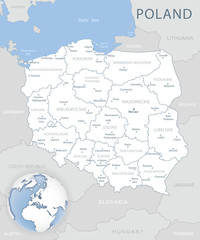 Blue-gray detailed map of Poland and administrative divisions and location on the globe. Vector illustrationfavorite_border favorite
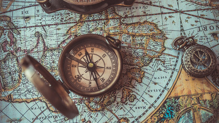 Antique bronze emblem compass on a retro world map vintage style.favorite_border favorite
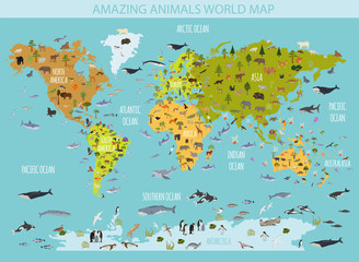 Flat world flora and fauna map constructor elements. Animals, birds and sea life isolated big set. Build your own geography infographics collection.favorite_border favorite
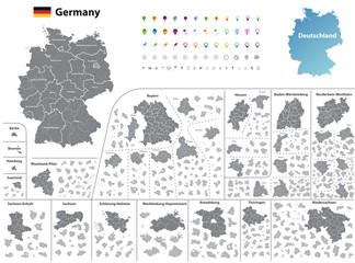 vector Germany federal states map with administrative districts and subdivisionsfavorite_border favorite
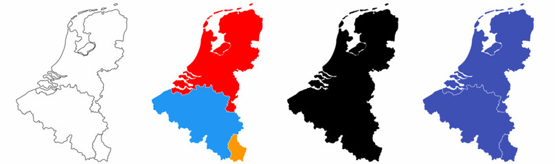 benelux map set isolated on white background.netherlands Luxembourg Belgium mapfavorite_border favorite
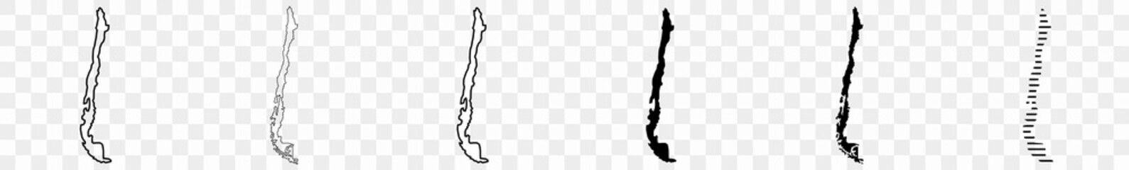 Chile Map Black Chilean Border State Country Transparent Isolated Variationsfavorite_border favorite
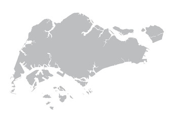 grey map of Singaporefavorite_border favorite
 High-tech digital topographic map with glowing data points, GPS markers, and geospatial analytics. Technology big data and geospatial concepts. Future abstract background 3d Renderingfavorite_border favorite
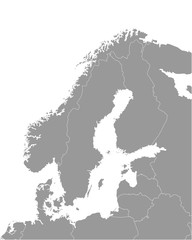 Vector isolated illustration of simplified political map of some scandinavian countries (Sweden, Finland, Norway, Denmark) and nearest areas. Borders of the states. Grey silhouettes. White outlinefavorite_border favorite
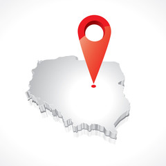 Map of Poland 3Dfavorite_border favorite
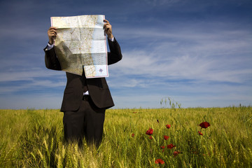 businessman lost in field using a mapfavorite_border favorite
 World map silhouette, gray and white, flat design, world map template, vector illustration.favorite_border favorite
 Detailed vector illustration of a world map showing continents, countries, and natural features oceans and seas .favorite_border favorite
 Brazil mapfavorite_border favorite
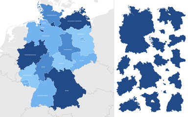 Detailed vector blue map of Germany with administrative divisions into lands and regions of the countryfavorite_border favorite
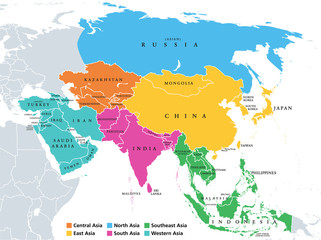 Main regions of Asia. Political map with single countries. Colored subregions of the Asian continent. Central, East, North, South, Southeast and Western Asia. English labeled. Illustration. Vector.favorite_border favorite
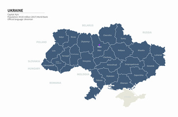 graphic vector map of ukraine. ukraine map. europe country map.favorite_border favorite
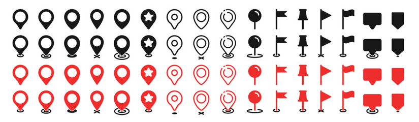 Set of map pin location icons. Modern map markers. Map pin place marker. Location icon. Map marker pointer icon set.favorite_border favorite
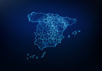 Abstract of spain map network, internet and global connection concept, Wire Frame 3D mesh polygonal network line, design sphere, dot and structure. Vector illustration eps 10.favorite_border favorite
 Africa map outline graphic freehand drawing on white background. Vector illustration.favorite_border favorite
 world map line art drawing design vector illustration isolated on transparent backgroundfavorite_border favorite
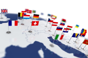 Europe map with countries flagsfavorite_border favorite
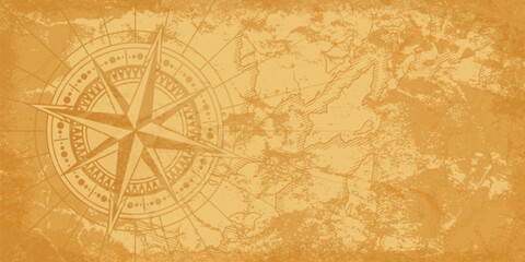 Ornate compass design on an aged map backgroundfavorite_border favorite
 city of spain mapfavorite_border favorite
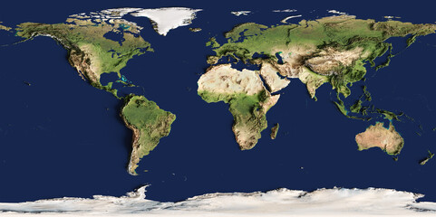 3d illustration of a highly detailed world map. Elements of this image furnished by NASA.favorite_border favorite
 Topographic map lines, contour background, Vector contour topographic map background. Topography and geography map grid abstract backdrop, Luxury black abstract line art.favorite_border favorite
 Earth at night from outer space with city lights on North America continent. 3D rendering illustration. Earth map texture provided by Nasa. Energy consumption, electricity, industry, ecology concepts.favorite_border favorite
 Detail world map with national borders, 3d renderfavorite_border favorite
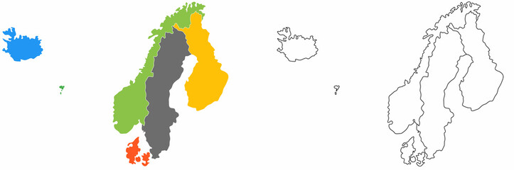 outline scandinavian map icon set isolated on white backgroundfavorite_border favorite
 city map with Pin Pointers 3d rendering imagefavorite_border favorite
 Locations marked with pins on world map, global communication network, closeupfavorite_border favorite
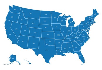 Map of USA with state abbreviationsfavorite_border favorite
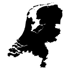 Netherlands black map on white background vectorfavorite_border favorite
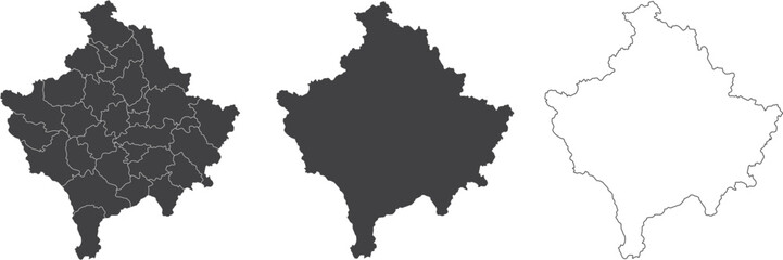 set of 3 maps of Kosovo - vector illustrationsfavorite_border favorite
 Global network connection. World map point and line composition concept of global business. Vector Illustrationfavorite_border favorite
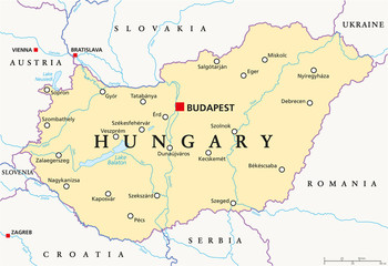 Hungary political map with capital Budapest, national borders, important cities, rivers and lakes. English labeling and scaling. Illustration.favorite_border favorite
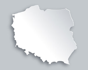 Karte von Polenfavorite_border favorite
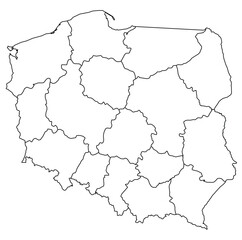 Outline of the map of Poland with regionsfavorite_border favorite
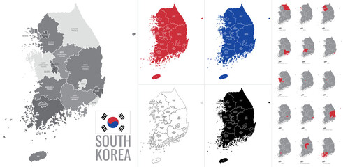 Detailed vector map of regions of South Korea with flagfavorite_border favorite
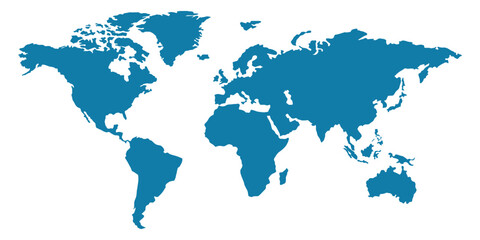 World map silhouette, blue and white color, flat design, vector illustration.favorite_border favorite
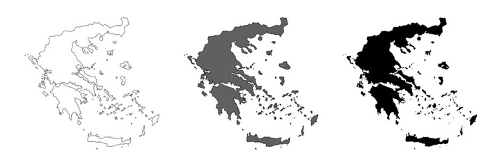 Greece map set. Greek country black map. Vector symbolfavorite_border favorite
 india map silhouette on transparent backgroundfavorite_border favorite
 Black and white noise reflection map displacement map motion graphic asset. Noise moving black and white height map for creating gold, and silver metallic textures. Smooth curvy map bg.favorite_border favorite
 Physical map of Western Europe, with high resolution details. Flattened satellite view of Planet Earth, its geography and topography. 3D illustration - Elements of this image furnished by NASAfavorite_border favorite
 Futuristic Europe outline connectivity map with lines, stars, triangles, light particles framework.favorite_border favorite
 White wave paper curved reliefs abstract background, Abstract topographic contours map background, Vector contour topographic map background. Topography and geography map grid abstract backdrop.favorite_border favorite
 Urban vector city map of Yokohama, Japanfavorite_border favorite
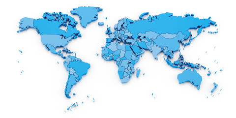 Detail world map with national borders, 3d renderfavorite_border favorite
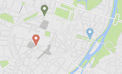 City map with some location tagsfavorite_border favorite
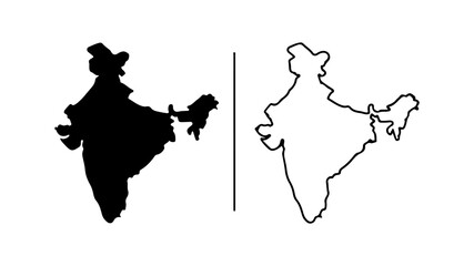 India map silhouette black and white outline graphic design.favorite_border favorite
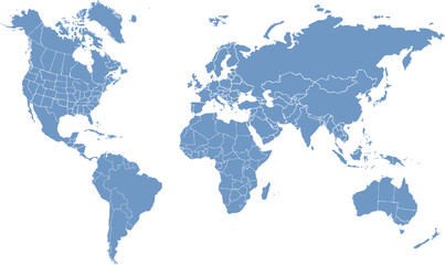 World map. Continents with the contours of the countries. Vector drawingfavorite_border favorite
 Map of Warsaw city with districtsfavorite_border favorite
 World map of hexagon dots, led uppercase English alphabet, vector illustrationfavorite_border favorite
 Detailed map of New York City, USAfavorite_border favorite
 Old drawn map of the medieval worldfavorite_border favorite
 Abstract geometric futuristic concept 3d Map of Malaysia with borders as scribble, blue neon style. 3d renderingfavorite_border favorite
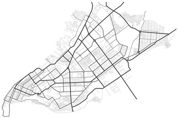 Samara city map - town streets on the plan. Map of the scheme of road. Urban environment, architectural background. Vectorfavorite_border favorite
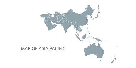 Detailed map of the Asia-Pacific region, highlighting countriesfavorite_border favorite
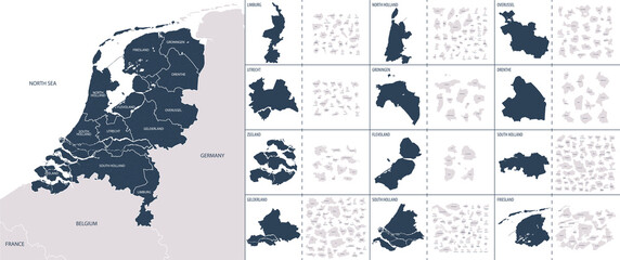 Vector color detailed map of Netherlands with the administrative divisions of the country, each Provinces is presented separately and divided into Municipalitiesfavorite_border favorite
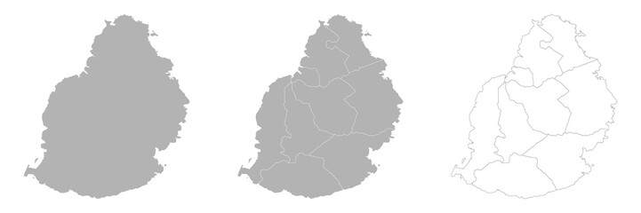 Set of MAURITIUS Maps with Main Map and Regional mapsfavorite_border favorite
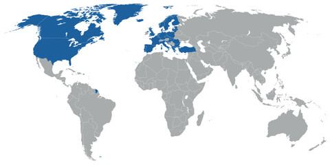 North Atlantic organization member states on map of the worldfavorite_border favorite
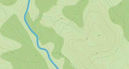 Realistic topographic map with brown contour lines, elevation marks, and natural green terrain features with river. Ideal for geographic, educational, or design projects. 16:9favorite_border favorite
 3d red map location pointer. Pin code icon of the geolocation map. Plastic cartoon style. Stock vector illustration on isolated background.favorite_border favorite
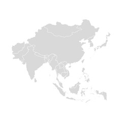 Asia vector map southeast country, Asian east continent icon silhouette china malaysia japanfavorite_border favorite
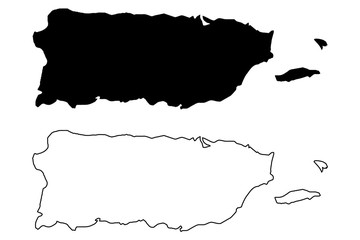 Puerto Rico map vector illustration, scribble sketch Puerto Ricofavorite_border favorite
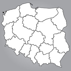 Mapa Polski Województwafavorite_border favorite
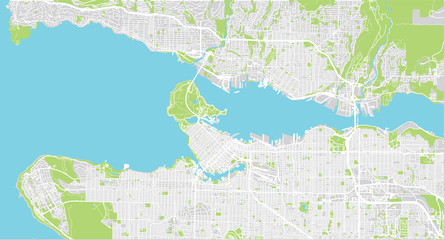 Urban vector city map of Vancouver, Canadafavorite_border favorite
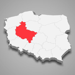 Greater Poland region location within Poland 3d mapfavorite_border favorite
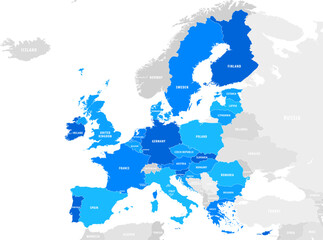 vector mape of european union bordersfavorite_border favorite