-
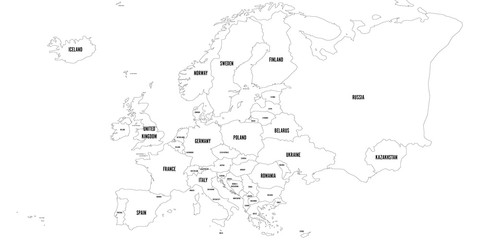
Vector outline map of Europe. Simplified vector map made of black state contours on white background with black Europe countries labels.
Do ulubionych favorite_border
Usuń z ulubionych favorite
-
Abstract mash line and point scales on dark background with map of wolrd.3D mesh polygonal network line, design sphere, dot and structure. Vector illustration eps 10.
Do ulubionych favorite_border
Usuń z ulubionych favorite
-
Austria - map and flag – illustration
Do ulubionych favorite_border
Usuń z ulubionych favorite
-
Tennessee black map on white background vector
Do ulubionych favorite_border
Usuń z ulubionych favorite
-
Detailed map of Milan, Italy
Do ulubionych favorite_border
Usuń z ulubionych favorite
-
Old geographical map of the world of the 18 century. Collage. A good background for design on the theme of travel, geography, history, voyage, etc. Ancient map background.
Do ulubionych favorite_border
Usuń z ulubionych favorite
-
Modern Infographic Template
Do ulubionych favorite_border
Usuń z ulubionych favorite
-
Black detailed blank political map of BAHRAIN with white borders on transparent background using orthographic projection of the gray Middle East
Do ulubionych favorite_border
Usuń z ulubionych favorite
-
Fill and Stroke with Fill USA Map Vector Illustration
Do ulubionych favorite_border
Usuń z ulubionych favorite
-
City urban roads and streets abstract map downtown district. Geolocation your location on map with river and grid. Concept of planning and mapping a travel. Flat vector illustration
Do ulubionych favorite_border
Usuń z ulubionych favorite
-
Medieval map elements engraving and woodcut style vector cartography illustration
Do ulubionych favorite_border
Usuń z ulubionych favorite
-
Map of the United States with state borders and names. USA map template. United States of America map isolated on white background. Vector illustration
Do ulubionych favorite_border
Usuń z ulubionych favorite
-
Set of isolated Uzbekistan maps with regions. Isolated borders, departments, municipalities.
Do ulubionych favorite_border
Usuń z ulubionych favorite
-
USA map states. Vector line design. High detailed USA map. Labeled with postal abbreviatations. Stock vector.
Do ulubionych favorite_border
Usuń z ulubionych favorite
-
Sea Depth Topographic Map With Route And Coordinates Conceptual User Interface Blue Abstract Background. Bermuda Triangle. Topographic Cartography. Topographic Map. Topographic Atlas
Do ulubionych favorite_border
Usuń z ulubionych favorite
-
Travel around the world play mat for children. Baby land map vector seamless pattern. Kid carpet with cute doodle roads, nature, city, village, forest, sea and wild animals
Do ulubionych favorite_border
Usuń z ulubionych favorite
-
location icon, map pin icons in outline, black, and red styles. for maps, GPS, navigation apps, location markers, address indications, and geolocation interfaces
Do ulubionych favorite_border
Usuń z ulubionych favorite
-
Urban vector city map of Lodz, Poland
Do ulubionych favorite_border
Usuń z ulubionych favorite
-
World map on white background. All countries in The World different colors. Can use for printing, website, presentation element, textile. World map vector illustration, high-resolution, travel.
Do ulubionych favorite_border
Usuń z ulubionych favorite
-
Canada region silhouettes set and blank map of the country isolated on white background. Vector illustration design
Do ulubionych favorite_border
Usuń z ulubionych favorite
-
World map - Asia, Australia and Pacific Ocean centered. Green hue colored on dark background. High detailed political map of World with country, capital, ocean and sea names labeling
Do ulubionych favorite_border
Usuń z ulubionych favorite
-
Highly detailed gray map of North Carolina with county lines, US state. Editable administrative map of North Carolina with territory borders and counties names labeled realistic vector illustration
Do ulubionych favorite_border
Usuń z ulubionych favorite
-
Simple map of Poland with voivodeships on white.
Do ulubionych favorite_border
Usuń z ulubionych favorite
-
Poland, relief map, colored according to elevation
Do ulubionych favorite_border
Usuń z ulubionych favorite
-
Detailed map of Tokyo, Japan
Do ulubionych favorite_border
Usuń z ulubionych favorite
-
City map on white background 3d illustration
Do ulubionych favorite_border
Usuń z ulubionych favorite
-
High detailed vector map - Florida.
Do ulubionych favorite_border
Usuń z ulubionych favorite
-
South America viewed from space with sunrise on planet Earth and stars, overview of Amazon river and forest, night lights from cities in Brazil, Argentina, Chile, Peru, map elements from NASA, 8k
Do ulubionych favorite_border
Usuń z ulubionych favorite
-
3D top view of a map with destination location point 004
Do ulubionych favorite_border
Usuń z ulubionych favorite
-
Colombia map with shapes of regions. Blank vector map of the country with regions. Borders of the country for your infographic. Vector illustration.
Do ulubionych favorite_border
Usuń z ulubionych favorite
-
Vector Pirate Treasure Map
Do ulubionych favorite_border
Usuń z ulubionych favorite
-
Do ulubionych favorite_border
Usuń z ulubionych favorite
-
Vector map of Lodz. Street map art poster illustration.
Do ulubionych favorite_border
Usuń z ulubionych favorite
-
Sweden map with selected regions in black color on a white background
Do ulubionych favorite_border
Usuń z ulubionych favorite
-
Road map and route isolated inforgraphic template
Do ulubionych favorite_border
Usuń z ulubionych favorite
-
North American continent with contours of countries. Vector drawing, vector 10 eps.
Do ulubionych favorite_border
Usuń z ulubionych favorite
-
Vector color detailed map of Finland with administrative divisions of the country, each region is presented separately with high detail divided into districts and sub-regions
Do ulubionych favorite_border
Usuń z ulubionych favorite
-
Urban vector city map of Houston, Texas, USA
Do ulubionych favorite_border
Usuń z ulubionych favorite
-
set of 4 political maps of Greece with regions isolated on white background
Do ulubionych favorite_border
Usuń z ulubionych favorite
-
Detailed World Map in camouflage colors with a square grid
Do ulubionych favorite_border
Usuń z ulubionych favorite
-
Do ulubionych favorite_border
Usuń z ulubionych favorite
-
Dotted gradient USA map for backgrounds, brochures web. vector illustration isolated on white background.
Do ulubionych favorite_border
Usuń z ulubionych favorite
-
GPS navigator pin mock up orange color on street map of city
Do ulubionych favorite_border
Usuń z ulubionych favorite
-
Do ulubionych favorite_border
Usuń z ulubionych favorite
-
Highly detailed street map of central London, UK
Do ulubionych favorite_border
Usuń z ulubionych favorite
-
Map of Uttar pradesh , Map of Uttar pradesh with India, Map of Uttar pradesh state of India Vector Illustration, map of Uttar pradesh with solid color, India.
Do ulubionych favorite_border
Usuń z ulubionych favorite
-
world map. High detailed blue map of world on PNG transparent background.
Do ulubionych favorite_border
Usuń z ulubionych favorite
-
Digital web white map of Nashville
Do ulubionych favorite_border
Usuń z ulubionych favorite
-
North American Countries Map. The main boundary map of Canada, the United States.
Do ulubionych favorite_border
Usuń z ulubionych favorite
-
Ukraine map isolated on white background
Do ulubionych favorite_border
Usuń z ulubionych favorite
-
Flying airplanes world map abstract vector background - flying white airplanes routes on blue background - Air travel concept - line art illustration
Do ulubionych favorite_border
Usuń z ulubionych favorite
-
All 218 Complete Countries Map of the World Perfect Icons . Every single country map are listed and isolated with names. A complete maps of the world.
Do ulubionych favorite_border
Usuń z ulubionych favorite
-
Do ulubionych favorite_border
Usuń z ulubionych favorite
-
Rome, Italy city map aerial view. minimal design. 3D Rendering
Do ulubionych favorite_border
Usuń z ulubionych favorite
-
Ukraine vector map with flag, globe and icons on white background
Do ulubionych favorite_border
Usuń z ulubionych favorite
-
set of 4 political maps of Saudi Arabia with regions isolated on white background
Do ulubionych favorite_border
Usuń z ulubionych favorite
-
Detailed map of New York City, USA
Do ulubionych favorite_border
Usuń z ulubionych favorite
-
Dotted Map Vector High Quality World Map Illustration Editable Digital Download
Do ulubionych favorite_border
Usuń z ulubionych favorite
-
Business road map timeline infographic concept with 5 step, option, process. Business Events annual business presentation. Vector illustration.
Do ulubionych favorite_border
Usuń z ulubionych favorite
-
India map, India national map vector image on white background
Do ulubionych favorite_border
Usuń z ulubionych favorite
-
Stylized brown world map silhouette, minimalist earth continent outline, global geographic illustration for travel and educational design
Do ulubionych favorite_border
Usuń z ulubionych favorite
-
White grey Chicago city area vector background map, streets and water cartography illustration.
Do ulubionych favorite_border
Usuń z ulubionych favorite
-
Colombia map on white background vector
Do ulubionych favorite_border
Usuń z ulubionych favorite
-
world map physical boundaries
Do ulubionych favorite_border
Usuń z ulubionych favorite
-
World map silhouette on transparent background
Do ulubionych favorite_border
Usuń z ulubionych favorite
-
Clean World Map Outline with Borders
Do ulubionych favorite_border
Usuń z ulubionych favorite
-
Africa map in outline, flat color, dotted style
Do ulubionych favorite_border
Usuń z ulubionych favorite
-
Navigation mapping technology, distance and turns of the path. Vector
Do ulubionych favorite_border
Usuń z ulubionych favorite
-
World map on isolated background. Blank outline map of World. Vector illustration
Do ulubionych favorite_border
Usuń z ulubionych favorite
-
Urban grid map — Yala, Thailand
Do ulubionych favorite_border
Usuń z ulubionych favorite
-
Blue World Map Silhouette Editable Vector.
Do ulubionych favorite_border
Usuń z ulubionych favorite
-
Modern tech World map 2Cool blue Abstrak technologi vector tech Stylized modern world map background Stylized wireframe and dots for data visualization and infographics HUD GUI UI
Do ulubionych favorite_border
Usuń z ulubionych favorite
-
Do ulubionych favorite_border
Usuń z ulubionych favorite
-
Iran location on the world map with pin location marker2. Vector flat template.
Do ulubionych favorite_border
Usuń z ulubionych favorite
-
Vector illustration of Okinawa, Japan map icons in various styles, featuring black and gold colors. Design symbols.
Do ulubionych favorite_border
Usuń z ulubionych favorite
-
World map with countries, world maps and globes with pins big set vector collection
Do ulubionych favorite_border
Usuń z ulubionych favorite
-
vector illustartion of gray colored world map outline on white background
Do ulubionych favorite_border
Usuń z ulubionych favorite
-
Do ulubionych favorite_border
Usuń z ulubionych favorite
-
Flat location icon set vector with GPS pin, map and navigation symbols for travel apps and geolocation.
Do ulubionych favorite_border
Usuń z ulubionych favorite
-
Colorful metro subway system map with intersecting lines vector
Do ulubionych favorite_border
Usuń z ulubionych favorite
-
Abstract topographic map lines creating a textured mountainous landscape in black and white
Do ulubionych favorite_border
Usuń z ulubionych favorite
-
Lodz map. Lodz city map poster. Map of Lodz street, urban area.
Do ulubionych favorite_border
Usuń z ulubionych favorite
-
Vietnam map on white background vector
Do ulubionych favorite_border
Usuń z ulubionych favorite
-
Business road map timeline infographic template with pointers designed for abstract background milestone modern diagram process technology digital marketing data presentation chart Vector illustration
Do ulubionych favorite_border
Usuń z ulubionych favorite
-
Abstract world map composed of numerous small dark dots on a clean white background
Do ulubionych favorite_border
Usuń z ulubionych favorite
-
いろんな建物と地図の手描きイラストセット(カラー/主線なし)
Do ulubionych favorite_border
Usuń z ulubionych favorite
-
Do ulubionych favorite_border
Usuń z ulubionych favorite
-
Do ulubionych favorite_border
Usuń z ulubionych favorite
-
Color detailed urban road plan city map Paris, vector illustration
Do ulubionych favorite_border
Usuń z ulubionych favorite
-
Street network map of Denver, Colorado, golden linework with blue water
Do ulubionych favorite_border
Usuń z ulubionych favorite
-
Do ulubionych favorite_border
Usuń z ulubionych favorite
-
Portugal map plain set. Map of Portugal in blank set.
Do ulubionych favorite_border
Usuń z ulubionych favorite
-
Topographic map background geographic line map with elevation assignments. Modern design with White background with topographic wavy pattern design.Cartography or terrain path concept
Do ulubionych favorite_border
Usuń z ulubionych favorite
-
Algarve region map outline silhouette shape in black on transparent background vector illustration
Do ulubionych favorite_border
Usuń z ulubionych favorite
-
Workflow Diagram and Process Flow Icon Set
Do ulubionych favorite_border
Usuń z ulubionych favorite
-
United States of America map. USA map with states and state names isolated – vector
Do ulubionych favorite_border
Usuń z ulubionych favorite
-
A red location pin icon on a simplified gray map background, symbolizing navigation or GPS positioning
Do ulubionych favorite_border
Usuń z ulubionych favorite
-
The Mediterranean Sea, gray political map with international borders, countries and islands. Connected to the Atlantic Ocean, surrounded by the Mediterranean Basin, almost completely enclosed by land.
Do ulubionych favorite_border
Usuń z ulubionych favorite
-
Oceania Countries map. Detailed world Map Vector with Country,Capital,City Names.
Do ulubionych favorite_border
Usuń z ulubionych favorite
-
Set of GHANA Maps with Main Map and Regional maps
Do ulubionych favorite_border
Usuń z ulubionych favorite
 Vector outline map of Europe. Simplified vector map made of black state contours on white background with black Europe countries labels.favorite_border favorite
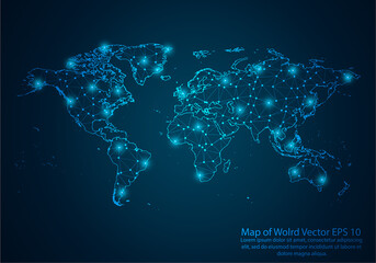 Abstract mash line and point scales on dark background with map of wolrd.3D mesh polygonal network line, design sphere, dot and structure. Vector illustration eps 10.favorite_border favorite
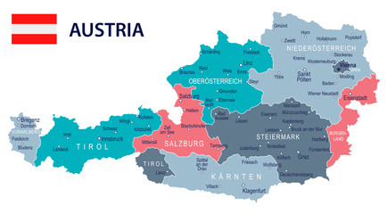 Austria - map and flag – illustrationfavorite_border favorite
 Tennessee black map on white background vectorfavorite_border favorite
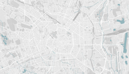 Detailed map of Milan, Italyfavorite_border favorite
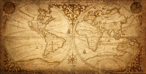 Old geographical map of the world of the 18 century. Collage. A good background for design on the theme of travel, geography, history, voyage, etc. Ancient map background.favorite_border favorite
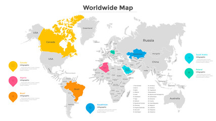 Modern Infographic Templatefavorite_border favorite
 Black detailed blank political map of BAHRAIN with white borders on transparent background using orthographic projection of the gray Middle Eastfavorite_border favorite
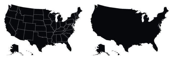 Fill and Stroke with Fill USA Map Vector Illustrationfavorite_border favorite
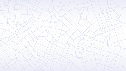 City urban roads and streets abstract map downtown district. Geolocation your location on map with river and grid. Concept of planning and mapping a travel. Flat vector illustrationfavorite_border favorite
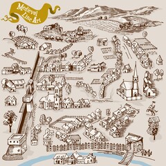 Medieval map elements engraving and woodcut style vector cartography illustrationfavorite_border favorite
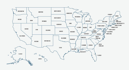 Map of the United States with state borders and names. USA map template. United States of America map isolated on white background. Vector illustrationfavorite_border favorite
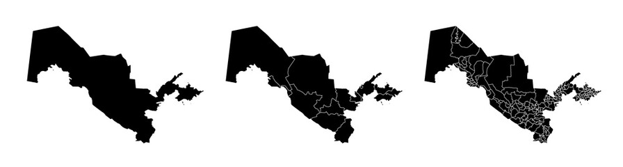 Set of isolated Uzbekistan maps with regions. Isolated borders, departments, municipalities.favorite_border favorite
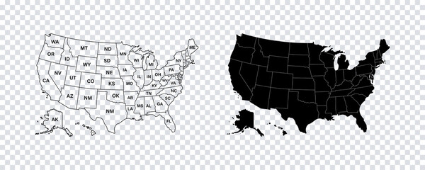 USA map states. Vector line design. High detailed USA map. Labeled with postal abbreviatations. Stock vector.favorite_border favorite
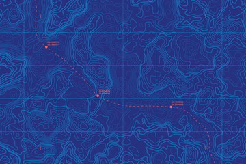 Sea Depth Topographic Map With Route And Coordinates Conceptual User Interface Blue Abstract Background. Bermuda Triangle. Topographic Cartography. Topographic Map. Topographic Atlasfavorite_border favorite
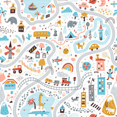 Travel around the world play mat for children. Baby land map vector seamless pattern. Kid carpet with cute doodle roads, nature, city, village, forest, sea and wild animalsfavorite_border favorite
 location icon, map pin icons in outline, black, and red styles. for maps, GPS, navigation apps, location markers, address indications, and geolocation interfacesfavorite_border favorite
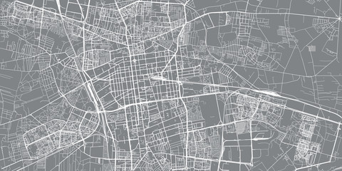 Urban vector city map of Lodz, Polandfavorite_border favorite
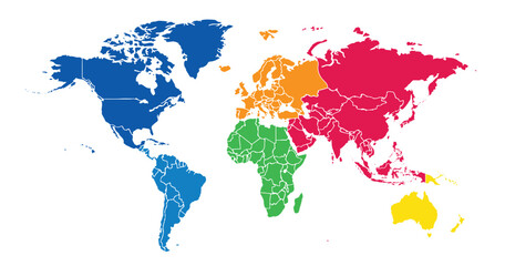 World map on white background. All countries in The World different colors. Can use for printing, website, presentation element, textile. World map vector illustration, high-resolution, travel.favorite_border favorite
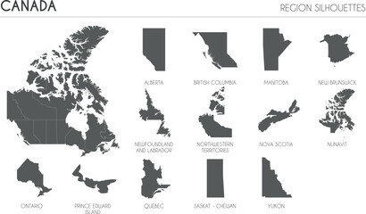 Canada region silhouettes set and blank map of the country isolated on white background. Vector illustration designfavorite_border favorite
 World map - Asia, Australia and Pacific Ocean centered. Green hue colored on dark background. High detailed political map of World with country, capital, ocean and sea names labelingfavorite_border favorite
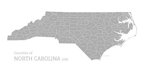 Highly detailed gray map of North Carolina with county lines, US state. Editable administrative map of North Carolina with territory borders and counties names labeled realistic vector illustrationfavorite_border favorite
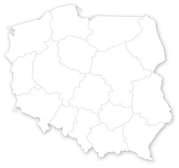 Simple map of Poland with voivodeships on white.favorite_border favorite
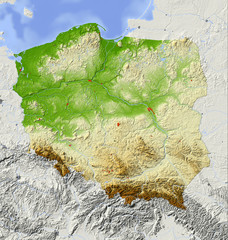 Poland, relief map, colored according to elevationfavorite_border favorite
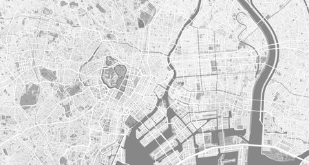 Detailed map of Tokyo, Japanfavorite_border favorite
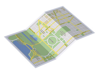 City map on white background 3d illustrationfavorite_border favorite
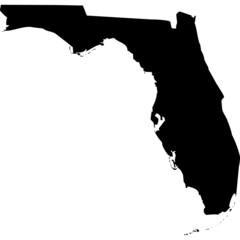 High detailed vector map - Florida.favorite_border favorite
 South America viewed from space with sunrise on planet Earth and stars, overview of Amazon river and forest, night lights from cities in Brazil, Argentina, Chile, Peru, map elements from NASA, 8kfavorite_border favorite
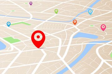 3D top view of a map with destination location point 004favorite_border favorite
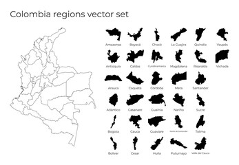 Colombia map with shapes of regions. Blank vector map of the country with regions. Borders of the country for your infographic. Vector illustration.favorite_border favorite
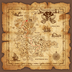 Vector Pirate Treasure Mapfavorite_border favorite
 mapfavorite_border favorite
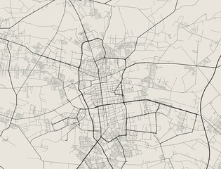 Vector map of Lodz. Street map art poster illustration.favorite_border favorite
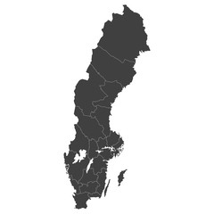 Sweden map with selected regions in black color on a white backgroundfavorite_border favorite
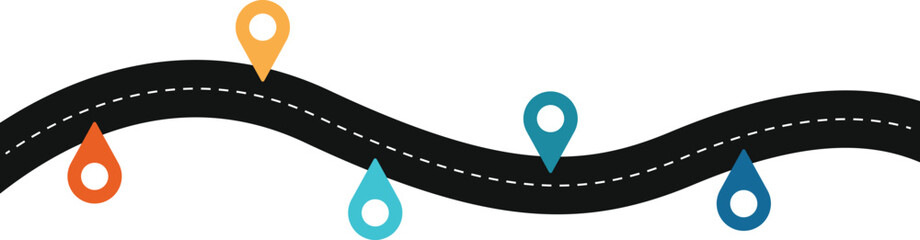 Road map and route isolated inforgraphic templatefavorite_border favorite
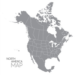 North American continent with contours of countries. Vector drawing, vector 10 eps.favorite_border favorite
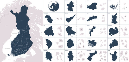 Vector color detailed map of Finland with administrative divisions of the country, each region is presented separately with high detail divided into districts and sub-regionsfavorite_border favorite
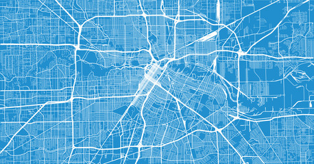 Urban vector city map of Houston, Texas, USAfavorite_border favorite
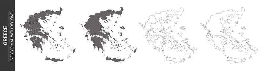 set of 4 political maps of Greece with regions isolated on white backgroundfavorite_border favorite
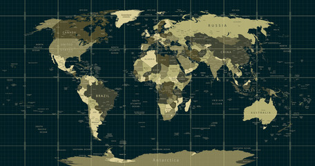 Detailed World Map in camouflage colors with a square gridfavorite_border favorite
 Mapa Polski - konturyfavorite_border favorite
 Dotted gradient USA map for backgrounds, brochures web. vector illustration isolated on white background.favorite_border favorite
 GPS navigator pin mock up orange color on street map of cityfavorite_border favorite
 Canada map silhouettefavorite_border favorite
 Highly detailed street map of central London, UKfavorite_border favorite
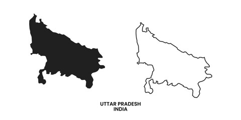 Map of Uttar pradesh , Map of Uttar pradesh with India, Map of Uttar pradesh state of India Vector Illustration, map of Uttar pradesh with solid color, India.favorite_border favorite
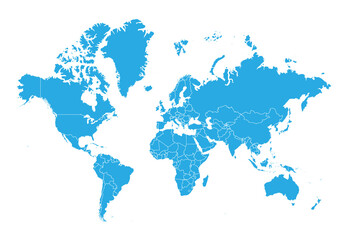 world map. High detailed blue map of world on PNG transparent background.favorite_border favorite
 Digital web white map of Nashvillefavorite_border favorite
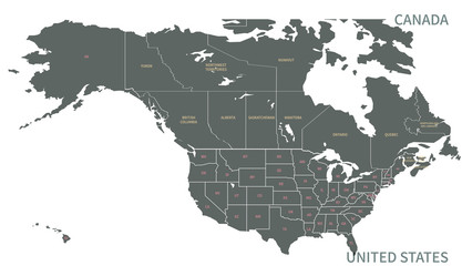 North American Countries Map. The main boundary map of Canada, the United States.favorite_border favorite
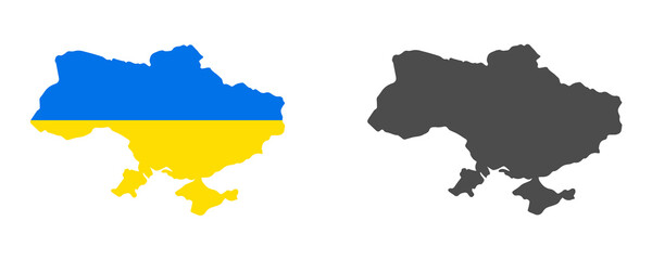 Ukraine map isolated on white backgroundfavorite_border favorite
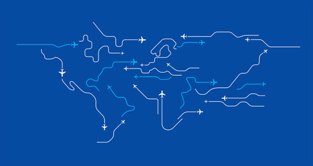 Flying airplanes world map abstract vector background - flying white airplanes routes on blue background - Air travel concept - line art illustrationfavorite_border favorite
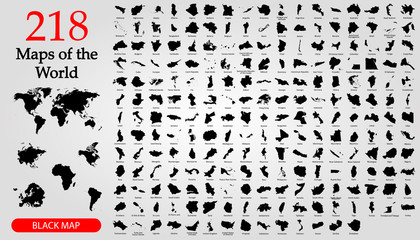 All 218 Complete Countries Map of the World Perfect Icons . Every single country map are listed and isolated with names. A complete maps of the world.favorite_border favorite
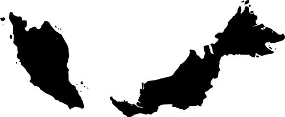 vector map of Malaysiafavorite_border favorite
 Rome, Italy city map aerial view. minimal design. 3D Renderingfavorite_border favorite
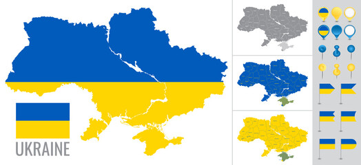 Ukraine vector map with flag, globe and icons on white backgroundfavorite_border favorite
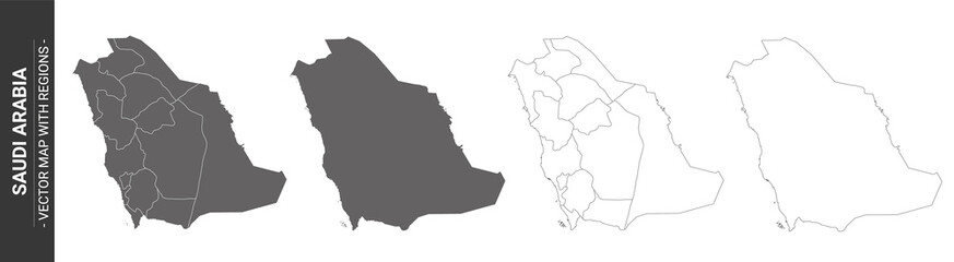 set of 4 political maps of Saudi Arabia with regions isolated on white backgroundfavorite_border favorite
 Detailed map of New York City, USAfavorite_border favorite
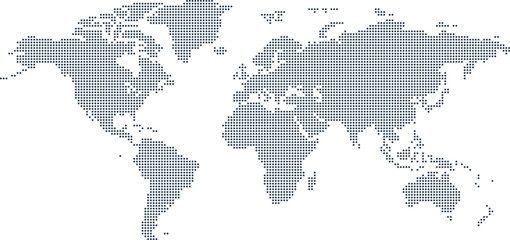 Dotted Map Vector High Quality World Map Illustration Editable Digital Downloadfavorite_border favorite
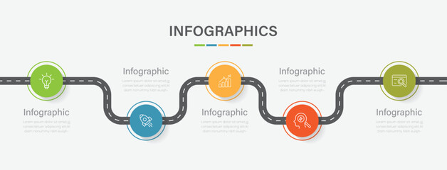 Business road map timeline infographic concept with 5 step, option, process. Business Events annual business presentation. Vector illustration.favorite_border favorite
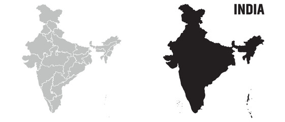 India map, India national map vector image on white backgroundfavorite_border favorite
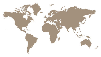 Stylized brown world map silhouette, minimalist earth continent outline, global geographic illustration for travel and educational designfavorite_border favorite
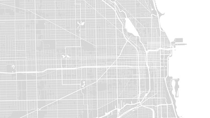 White grey Chicago city area vector background map, streets and water cartography illustration.favorite_border favorite
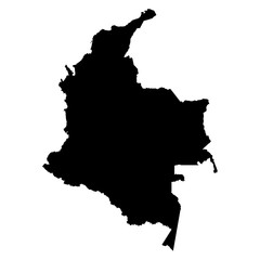 Colombia map on white background vectorfavorite_border favorite
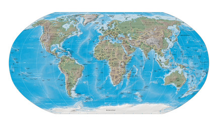 world map physical boundariesfavorite_border favorite
 World map silhouette on transparent backgroundfavorite_border favorite
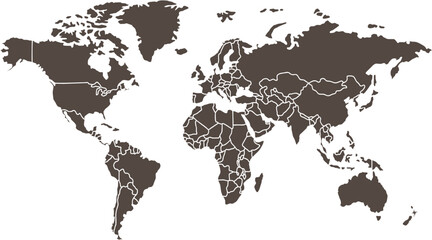 Clean World Map Outline with Bordersfavorite_border favorite
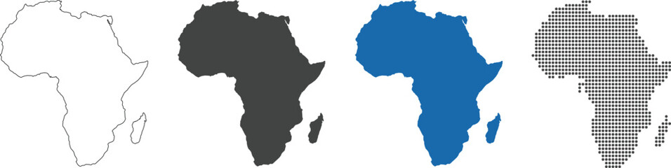 Africa map in outline, flat color, dotted stylefavorite_border favorite
 Navigation mapping technology, distance and turns of the path. Vectorfavorite_border favorite
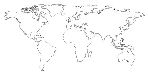 World map on isolated background. Blank outline map of World. Vector illustrationfavorite_border favorite
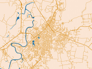 Urban grid map — Yala, Thailandfavorite_border favorite
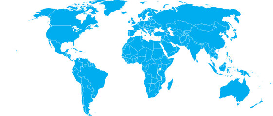 Blue World Map Silhouette Editable Vector.favorite_border favorite
 Modern tech World map 2Cool blue Abstrak technologi vector tech Stylized modern world map background Stylized wireframe and dots for data visualization and infographics HUD GUI UIfavorite_border favorite
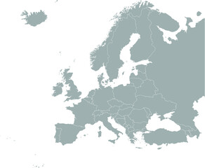 Gray Map of Europefavorite_border favorite
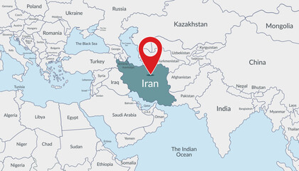 Iran location on the world map with pin location marker2. Vector flat template.favorite_border favorite
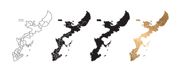 Vector illustration of Okinawa, Japan map icons in various styles, featuring black and gold colors. Design symbols.favorite_border favorite
 World map with countries, world maps and globes with pins big set vector collectionfavorite_border favorite
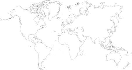 vector illustartion of gray colored world map outline on white backgroundfavorite_border favorite
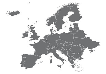 Europa Karte Vektorenfavorite_border favorite
 Flat location icon set vector with GPS pin, map and navigation symbols for travel apps and geolocation.favorite_border favorite
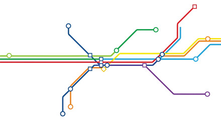 Colorful metro subway system map with intersecting lines vectorfavorite_border favorite
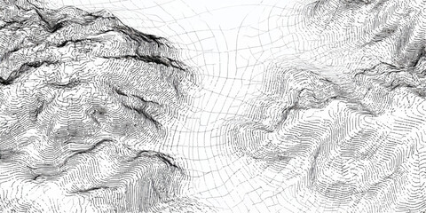 Abstract topographic map lines creating a textured mountainous landscape in black and whitefavorite_border favorite
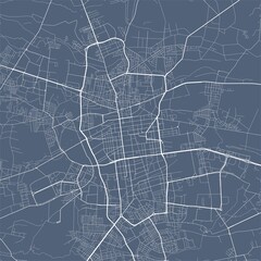 Lodz map. Lodz city map poster. Map of Lodz street, urban area.favorite_border favorite
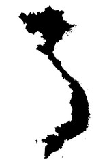 Vietnam map on white background vectorfavorite_border favorite
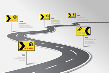 Business road map timeline infographic template with pointers designed for abstract background milestone modern diagram process technology digital marketing data presentation chart Vector illustrationfavorite_border favorite
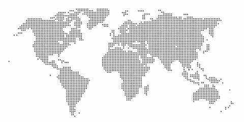 Abstract world map composed of numerous small dark dots on a clean white backgroundfavorite_border favorite
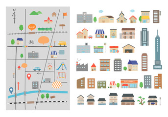 いろんな建物と地図の手描きイラストセット(カラー/主線なし)favorite_border favorite
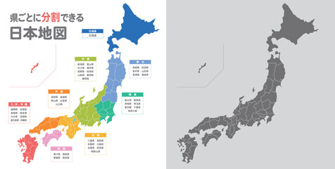 簡略化した日本地図のイラストfavorite_border favorite
 Map pointer iconfavorite_border favorite
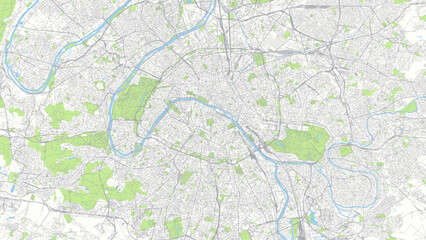 Color detailed urban road plan city map Paris, vector illustrationfavorite_border favorite
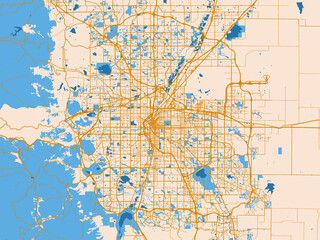 Street network map of Denver, Colorado, golden linework with blue waterfavorite_border favorite
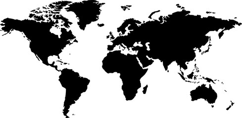 world map silhouettefavorite_border favorite
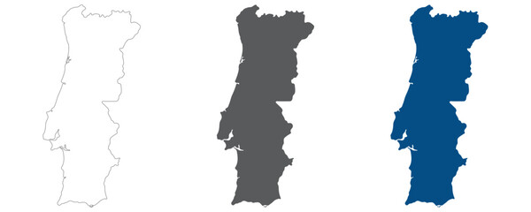 Portugal map plain set. Map of Portugal in blank set.favorite_border favorite
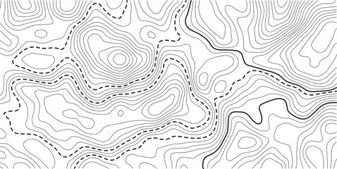 Topographic map background geographic line map with elevation assignments. Modern design with White background with topographic wavy pattern design.Cartography or terrain path conceptfavorite_border favorite
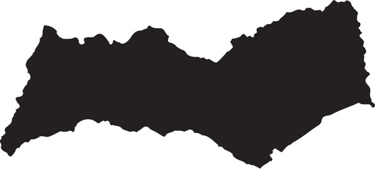 Algarve region map outline silhouette shape in black on transparent background vector illustrationfavorite_border favorite
 Workflow Diagram and Process Flow Icon Setfavorite_border favorite
 United States of America map. USA map with states and state names isolated – vectorfavorite_border favorite
 A red location pin icon on a simplified gray map background, symbolizing navigation or GPS positioningfavorite_border favorite
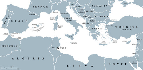 The Mediterranean Sea, gray political map with international borders, countries and islands. Connected to the Atlantic Ocean, surrounded by the Mediterranean Basin, almost completely enclosed by land.favorite_border favorite
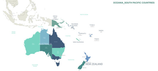 Oceania Countries map. Detailed world Map Vector with Country,Capital,City Names.favorite_border favorite
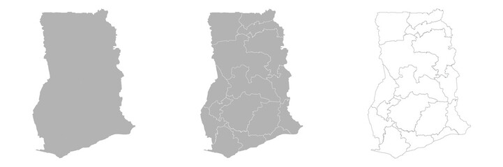 Set of GHANA Maps with Main Map and Regional mapsfavorite_border favorite