-
Maps icon set. Editable stroke. Containing maps, location, GPS, navigation, city map, atlas, route, direction, pin and more. Outline Icon Collection.
Do ulubionych favorite_border
Usuń z ulubionych favorite
-
Europe political vector map for the year 1939
Do ulubionych favorite_border
Usuń z ulubionych favorite
-
World map illustration dark silhouette and outline versions for glob
Do ulubionych favorite_border
Usuń z ulubionych favorite
-
Maps of Africa - Afrique - Afrika. Outline, line, black, silhouette, Vector
Do ulubionych favorite_border
Usuń z ulubionych favorite
-
Vector map illustration of Cornwall, England, UK, showing silhouette and outline sketch.
Do ulubionych favorite_border
Usuń z ulubionych favorite
-
World map with focus on Iran. The United States and Iran are on the brink of war. Political tension or crisis. Part of the world map. Middle Eastern countries are in focus. Selective focus. No people
Do ulubionych favorite_border
Usuń z ulubionych favorite
-
Transportation navigation icons set featuring pedestrian bicycle bus car traffic signs parking map location symbols solid vector illustration collection
Do ulubionych favorite_border
Usuń z ulubionych favorite
-
Global network connection. World map point and line composition concept of global business. Vector Illustration
Do ulubionych favorite_border
Usuń z ulubionych favorite
-
Radar surveillance dashboard interface with circular tracking display, incident response panels and monitoring analytics
Do ulubionych favorite_border
Usuń z ulubionych favorite
-
Poster-style sketch map of Tarnow, Poland, designed in artistic monochrome.
Do ulubionych favorite_border
Usuń z ulubionych favorite
-
United kingdom map vector illustration
Do ulubionych favorite_border
Usuń z ulubionych favorite
-
North and Central America Line Map Set with White Blue and Grey Color Variations. Map of Central and North America plain map.
Do ulubionych favorite_border
Usuń z ulubionych favorite
-
Michigan state map silhouette
Do ulubionych favorite_border
Usuń z ulubionych favorite
-
Map of North America Host Cities for sports event location concept. World Football 2026 Vector Illustration
Do ulubionych favorite_border
Usuń z ulubionych favorite
-
Three australia map illustrations in black and white
Do ulubionych favorite_border
Usuń z ulubionych favorite
-
Vector road map of the city of Torun in Poland with black roads on a white background.
Do ulubionych favorite_border
Usuń z ulubionych favorite
-
Digital connections around the world. Planet Earth at night with glowing network lines representing global communication, data transfer, and worldwide internet connectivity in space. Europe at night.
Do ulubionych favorite_border
Usuń z ulubionych favorite
-
West Asia and South Asia, gray political map with countries, international borders and capitals. Western or Southwest Asia, with the Middle East, and South Asia, with the Indian subcontinent. Vector
Do ulubionych favorite_border
Usuń z ulubionych favorite
-
Floating translucent holographic panels showing HUD data in control room, with radar and world map
Do ulubionych favorite_border
Usuń z ulubionych favorite
-
Papua New Guinea map silhouette and outline country
Do ulubionych favorite_border
Usuń z ulubionych favorite
-
Australia map outlines a black silhouette and a white line drawing
Do ulubionych favorite_border
Usuń z ulubionych favorite
-
World map illustration showcasing shipping routes with dashed lines and cargo ships
Do ulubionych favorite_border
Usuń z ulubionych favorite
-
City map plan pattern with road and streets of urban abstract background, seamless vector. City map pattern with town road and street lines of metropolis cartography grid for cartography background
Do ulubionych favorite_border
Usuń z ulubionych favorite
-
Strait of Hormuz map in the Middle East connecting the Persian Gulf and Gulf of Oman.
Do ulubionych favorite_border
Usuń z ulubionych favorite
-
Grid hud technology with background blueprint tech paper. Digital thin tech with dot drawing vector and sketch map checker. Engineering cross grid with infographic.
Do ulubionych favorite_border
Usuń z ulubionych favorite
-
Hand drawn vector travel set in Mediterranean style. Blue minimalist doodles of plane map passport suitcase camera and vacation essentials. Perfect for summer holiday designs and tourism assets
Do ulubionych favorite_border
Usuń z ulubionych favorite
-
Iran flag pinned on political map over Iran in Middle East region
Do ulubionych favorite_border
Usuń z ulubionych favorite
-
Modern Military Radar Dashboard with Futuristic Digital Interface and Air Sea Surveillance System
Do ulubionych favorite_border
Usuń z ulubionych favorite
-
Detailed map of the Asia-Pacific region, highlighting countries
Do ulubionych favorite_border
Usuń z ulubionych favorite
-
Monochrome city map with road network of Copenhagen
Do ulubionych favorite_border
Usuń z ulubionych favorite
-
Old map collage background. A concept on the topic of sea voyages, discoveries, pirates, sailors, geography, travel and history. Effect of overlay on old texture of paper.
Do ulubionych favorite_border
Usuń z ulubionych favorite
-
Fantasy medieval cartography map elements, vector, drawing symbols, illustration
Do ulubionych favorite_border
Usuń z ulubionych favorite
-
Set of 25 Hand Drawn Nature Landscape Elements Vector
Do ulubionych favorite_border
Usuń z ulubionych favorite
-
Political World Map with Country Name
Do ulubionych favorite_border
Usuń z ulubionych favorite
-
World map illustration showing network connections and travel routes with connections communication logistics shipping geography international business transport infrastructure location
Do ulubionych favorite_border
Usuń z ulubionych favorite
-
Do ulubionych favorite_border
Usuń z ulubionych favorite
-
City street map of Greater London area, UK, in black and light beige. High resolution full frame minimalist poster style road map or urban street plan of London. Vintage look.
Do ulubionych favorite_border
Usuń z ulubionych favorite
-
Italy map hand drawn Sketch Scribble background vector, Italy freehand Sketch map, vintage hand drawn map.
Do ulubionych favorite_border
Usuń z ulubionych favorite
-
Australia map sign symbol icon set
Do ulubionych favorite_border
Usuń z ulubionych favorite
-
Canada map with state names for education
Do ulubionych favorite_border
Usuń z ulubionych favorite
-
Dotted world map illustration on white background
Do ulubionych favorite_border
Usuń z ulubionych favorite
-
Isometric Gps map navigation to own pin. City top view. Abstract transportation background. Track navigation pins on street maps, position pin. Vector illustration
Do ulubionych favorite_border
Usuń z ulubionych favorite
-
Map of World. Mercator projection. High detailed political map of countries and dependent territories. Simple flat vector illustration
Do ulubionych favorite_border
Usuń z ulubionych favorite
-
Map line topography and topographic pattern background with military paper texture and mountain terrain. Digital marine chart and vintage compass shape nautical for graphic design.
Do ulubionych favorite_border
Usuń z ulubionych favorite
-
High detailed Czech Republic road map with labeling.
Do ulubionych favorite_border
Usuń z ulubionych favorite
-
Do ulubionych favorite_border
Usuń z ulubionych favorite
-
Vector illustration with map of Canary Islands, Gran Canaria, Spain
Do ulubionych favorite_border
Usuń z ulubionych favorite
-
Minimal light grey gradient with white rounded line network and nodes — abstract tech circuit UI map template with copy space
Do ulubionych favorite_border
Usuń z ulubionych favorite
-
Mizoram (States and union territories of India, Federated states, Republic of India) map vector illustration, scribble sketch Mizoram state map
Do ulubionych favorite_border
Usuń z ulubionych favorite
-
Middle East map vector free. Middle East map with county shape in single color. Vector map of geopolitical region middle east.
Do ulubionych favorite_border
Usuń z ulubionych favorite
-
World map with countries grey and detailed. Flat Earth. Globe world map icon. Travel worldwide.
Do ulubionych favorite_border
Usuń z ulubionych favorite
-
USA map with states isolated on a white background. Vector illustration of the map of the United States of America, AI-Generated Vector
Do ulubionych favorite_border
Usuń z ulubionych favorite
-
Europe simple maps flat illustration
Do ulubionych favorite_border
Usuń z ulubionych favorite
-
Political Map of China with National Flag, Illustrating Territory and Symbols on Isolated White Background
Do ulubionych favorite_border
Usuń z ulubionych favorite
-
Adobe Illustrator Artwork
Do ulubionych favorite_border
Usuń z ulubionych favorite
-
France map in three different styles
Do ulubionych favorite_border
Usuń z ulubionych favorite
-
Italy map with attractive landmarks illustration.vector
Do ulubionych favorite_border
Usuń z ulubionych favorite
-
Do ulubionych favorite_border
Usuń z ulubionych favorite
-
surveyor working with forest topography map in digital tablet. land surveying
Do ulubionych favorite_border
Usuń z ulubionych favorite
-
Vector Map - Blue Geometric Rumpled Triangular. Low poly map of Afghanistan. contour/shape map isolated on white background.
Do ulubionych favorite_border
Usuń z ulubionych favorite
-
Brazil map in vibrant low poly style, modern geometric design perfect for creative projects.
Do ulubionych favorite_border
Usuń z ulubionych favorite
-
Black and white Indianapolis map with buildings
Do ulubionych favorite_border
Usuń z ulubionych favorite
-
Mountain hiking. Map line of topography. Vector abstract topographic map concept with space for your copy. 3D Cartography concep background. Map mockup infographics. World map Template
Do ulubionych favorite_border
Usuń z ulubionych favorite
-
Baltic Sea highlighted. Satellite map
Do ulubionych favorite_border
Usuń z ulubionych favorite
-
Abstract image Poland map from point blue and glowing stars on a dark background. vector illustration.
Do ulubionych favorite_border
Usuń z ulubionych favorite
-
Do ulubionych favorite_border
Usuń z ulubionych favorite
-
Do ulubionych favorite_border
Usuń z ulubionych favorite
-
Tennessee vector map with county boundaries (Web Mercator projection, PPT-compatible & fully editable)
Do ulubionych favorite_border
Usuń z ulubionych favorite
-
Highly detailed Namibia map with borders isolated on background
Do ulubionych favorite_border
Usuń z ulubionych favorite
-
Do ulubionych favorite_border
Usuń z ulubionych favorite
-
Set of map pin location icons. Modern map markers. Map pin place marker. Location icon. Map marker pointer icon set.
Do ulubionych favorite_border
Usuń z ulubionych favorite
-
simple logo map of brazil Illustration in a linear style. Abstract line art brazil map Logotype concept icon. Vector logo Brazil map color silhouette on a dark background. EPS 10
Do ulubionych favorite_border
Usuń z ulubionych favorite
-
set of political maps of Ireland with regions and flag map isolated on white background
Do ulubionych favorite_border
Usuń z ulubionych favorite
-
Europe 3d map with gps pins isolated on white background - Vector
Do ulubionych favorite_border
Usuń z ulubionych favorite
-
Urban vector city map of Torun, Poland
Do ulubionych favorite_border
Usuń z ulubionych favorite
-
Do ulubionych favorite_border
Usuń z ulubionych favorite
-
Old map of Australia & New Zealand, 1870
Do ulubionych favorite_border
Usuń z ulubionych favorite
-
Navigation icon set with editable stroke and white background. Thin line style stock vector.
Do ulubionych favorite_border
Usuń z ulubionych favorite
-
Do ulubionych favorite_border
Usuń z ulubionych favorite
-
Find your way. Location marking with a blue pin on a old map with wind rose. Adventure, discovery, navigation, communication, logistics, geography, transport and travel theme concept background.
Do ulubionych favorite_border
Usuń z ulubionych favorite
-
map of Switzerland. vector illustration
Do ulubionych favorite_border
Usuń z ulubionych favorite
-
France map municipal, region, state division. Administrative borders, outline black on white background vector.
Do ulubionych favorite_border
Usuń z ulubionych favorite
-
California Counties Map Black State County Border United States US America Transparent Isolated Variations
Do ulubionych favorite_border
Usuń z ulubionych favorite
-
Location pin icon flat vector illustration design
Do ulubionych favorite_border
Usuń z ulubionych favorite
-
european countries - continent marked with flags
Do ulubionych favorite_border
Usuń z ulubionych favorite
-
Set of travel posters with Barcelona, detailed urban street plan city map, Silhouette city skyline places of interest, vector artwork
Do ulubionych favorite_border
Usuń z ulubionych favorite
-
Do ulubionych favorite_border
Usuń z ulubionych favorite
-
Do ulubionych favorite_border
Usuń z ulubionych favorite
-
Flag on the map of philippines. Vintage Map and Flag of South Asia Countries Series 3D Rendering
Do ulubionych favorite_border
Usuń z ulubionych favorite
-
Colorful metro scheme, railway transport or city bus map
Do ulubionych favorite_border
Usuń z ulubionych favorite
-
World map with countries borders and red location pointers.
Do ulubionych favorite_border
Usuń z ulubionych favorite
-
Folded paper city map, vector illustration
Do ulubionych favorite_border
Usuń z ulubionych favorite
-
mapa konturowa POLSKI, POLSKA
Do ulubionych favorite_border
Usuń z ulubionych favorite
-
Travel by plane concept with top view airplane silhouette with single line path shaped world map behind it. Isolated on white background. Travel or vacation concept. Minimalistic vector illustration.
Do ulubionych favorite_border
Usuń z ulubionych favorite
-
Urban vector city map of Amsterdam, The Netherlands
Do ulubionych favorite_border
Usuń z ulubionych favorite
-
High quality map of Japan with borders of the regions or counties
Do ulubionych favorite_border
Usuń z ulubionych favorite
-
Vector map of the Islamic Republic of Iran with major cities and neighboring countries
Do ulubionych favorite_border
Usuń z ulubionych favorite
-
A generic city map with colorful icons
Do ulubionych favorite_border
Usuń z ulubionych favorite
-
China map set. Map of China with flag. Vector EPS 10
Do ulubionych favorite_border
Usuń z ulubionych favorite
 Maps icon set. Editable stroke. Containing maps, location, GPS, navigation, city map, atlas, route, direction, pin and more. Outline Icon Collection.favorite_border favorite
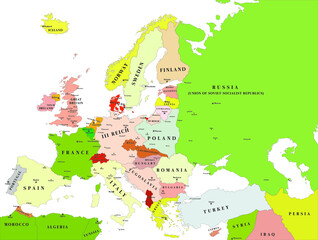 Europe political vector map for the year 1939favorite_border favorite
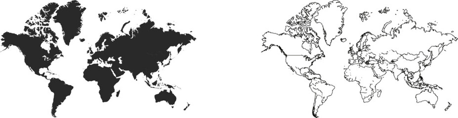 World map illustration dark silhouette and outline versions for globfavorite_border favorite
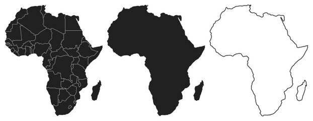 Maps of Africa - Afrique - Afrika. Outline, line, black, silhouette, Vectorfavorite_border favorite
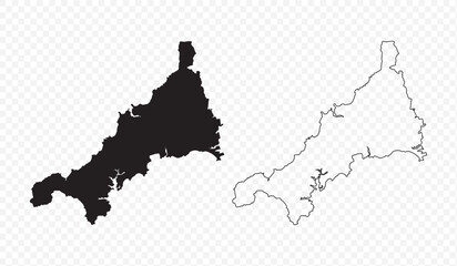 Vector map illustration of Cornwall, England, UK, showing silhouette and outline sketch.favorite_border favorite
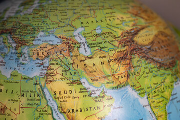 World map with focus on Iran. The United States and Iran are on the brink of war. Political tension or crisis. Part of the world map. Middle Eastern countries are in focus. Selective focus. No peoplefavorite_border favorite
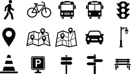 Transportation navigation icons set featuring pedestrian bicycle bus car traffic signs parking map location symbols solid vector illustration collectionfavorite_border favorite
 Global network connection. World map point and line composition concept of global business. Vector Illustrationfavorite_border favorite
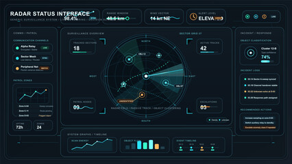 Radar surveillance dashboard interface with circular tracking display, incident response panels and monitoring analyticsfavorite_border favorite
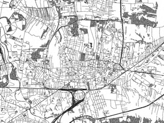 Poster-style sketch map of Tarnow, Poland, designed in artistic monochrome.favorite_border favorite
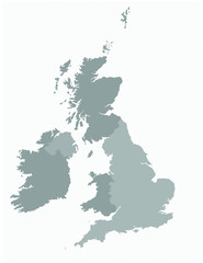 United kingdom map vector illustrationfavorite_border favorite
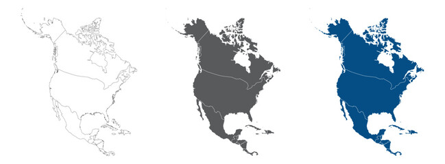 North and Central America Line Map Set with White Blue and Grey Color Variations. Map of Central and North America plain map.favorite_border favorite
 Michigan state map silhouettefavorite_border favorite
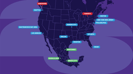 Map of North America Host Cities for sports event location concept. World Football 2026 Vector Illustrationfavorite_border favorite
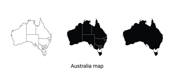 Three australia map illustrations in black and whitefavorite_border favorite
 Vector road map of the city of Torun in Poland with black roads on a white background.favorite_border favorite
 Digital connections around the world. Planet Earth at night with glowing network lines representing global communication, data transfer, and worldwide internet connectivity in space. Europe at night.favorite_border favorite
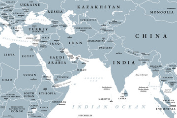 West Asia and South Asia, gray political map with countries, international borders and capitals. Western or Southwest Asia, with the Middle East, and South Asia, with the Indian subcontinent. Vectorfavorite_border favorite
 Floating translucent holographic panels showing HUD data in control room, with radar and world mapfavorite_border favorite
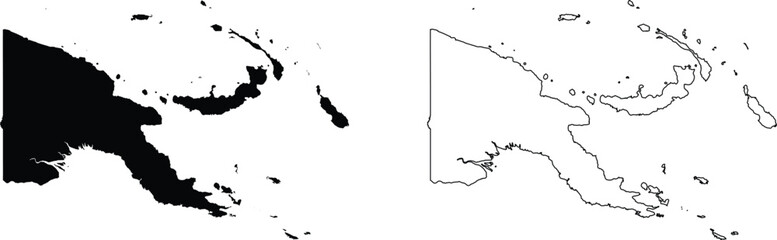 Papua New Guinea map silhouette and outline countryfavorite_border favorite
 Australia map outlines a black silhouette and a white line drawingfavorite_border favorite
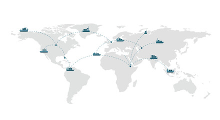 World map illustration showcasing shipping routes with dashed lines and cargo shipsfavorite_border favorite
 City map plan pattern with road and streets of urban abstract background, seamless vector. City map pattern with town road and street lines of metropolis cartography grid for cartography backgroundfavorite_border favorite
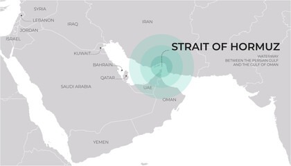 Strait of Hormuz map in the Middle East connecting the Persian Gulf and Gulf of Oman.favorite_border favorite
 Grid hud technology with background blueprint tech paper. Digital thin tech with dot drawing vector and sketch map checker. Engineering cross grid with infographic.favorite_border favorite
 Hand drawn vector travel set in Mediterranean style. Blue minimalist doodles of plane map passport suitcase camera and vacation essentials. Perfect for summer holiday designs and tourism assetsfavorite_border favorite
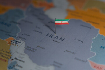 Iran flag pinned on political map over Iran in Middle East regionfavorite_border favorite
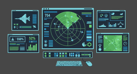 Modern Military Radar Dashboard with Futuristic Digital Interface and Air Sea Surveillance Systemfavorite_border favorite
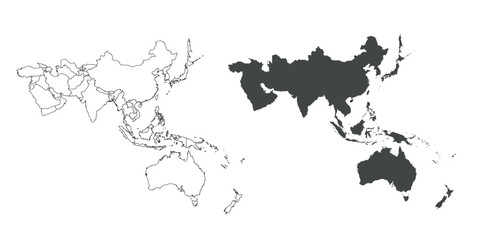 Detailed map of the Asia-Pacific region, highlighting countriesfavorite_border favorite
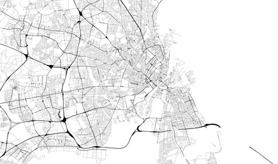 Monochrome city map with road network of Copenhagenfavorite_border favorite
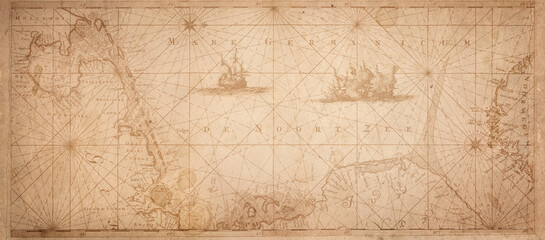 Old map collage background. A concept on the topic of sea voyages, discoveries, pirates, sailors, geography, travel and history. Effect of overlay on old texture of paper.favorite_border favorite
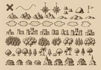 Fantasy medieval cartography map elements, vector, drawing symbols, illustrationfavorite_border favorite
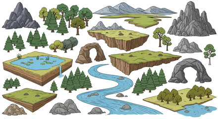 Set of 25 Hand Drawn Nature Landscape Elements Vectorfavorite_border favorite
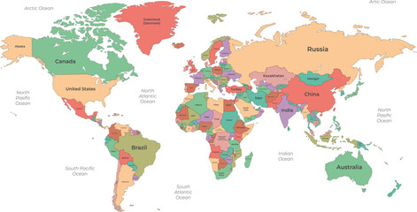 Political World Map with Country Namefavorite_border favorite
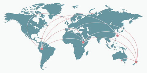 World map illustration showing network connections and travel routes with connections communication logistics shipping geography international business transport infrastructure locationfavorite_border favorite
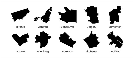 Canada city mapfavorite_border favorite
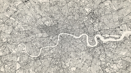 City street map of Greater London area, UK, in black and light beige. High resolution full frame minimalist poster style road map or urban street plan of London. Vintage look.favorite_border favorite
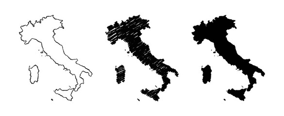 Italy map hand drawn Sketch Scribble background vector, Italy freehand Sketch map, vintage hand drawn map.favorite_border favorite
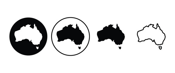 Australia map sign symbol icon setfavorite_border favorite
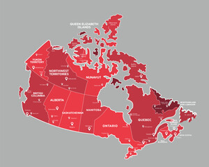 Canada map with state names for educationfavorite_border favorite
 Dotted world map illustration on white backgroundfavorite_border favorite
 Isometric Gps map navigation to own pin. City top view. Abstract transportation background. Track navigation pins on street maps, position pin. Vector illustrationfavorite_border favorite
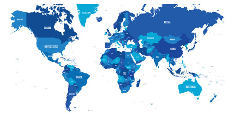 Map of World. Mercator projection. High detailed political map of countries and dependent territories. Simple flat vector illustrationfavorite_border favorite
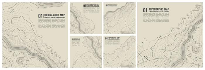 Map line topography and topographic pattern background with military paper texture and mountain terrain. Digital marine chart and vintage compass shape nautical for graphic design.favorite_border favorite
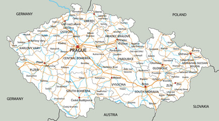 High detailed Czech Republic road map with labeling.favorite_border favorite
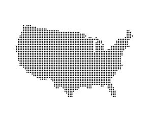 USA map with dot pixelsfavorite_border favorite
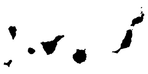 Vector illustration with map of Canary Islands, Gran Canaria, Spainfavorite_border favorite
 Minimal light grey gradient with white rounded line network and nodes — abstract tech circuit UI map template with copy spacefavorite_border favorite
 Mizoram (States and union territories of India, Federated states, Republic of India) map vector illustration, scribble sketch Mizoram state mapfavorite_border favorite
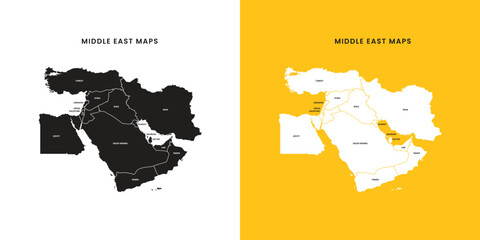 Middle East map vector free. Middle East map with county shape in single color. Vector map of geopolitical region middle east.favorite_border favorite
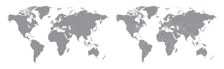 World map with countries grey and detailed. Flat Earth. Globe world map icon. Travel worldwide.favorite_border favorite
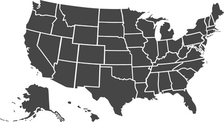 USA map with states isolated on a white background. Vector illustration of the map of the United States of America, AI-Generated Vectorfavorite_border favorite
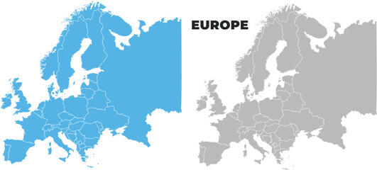 Europe simple maps flat illustrationfavorite_border favorite
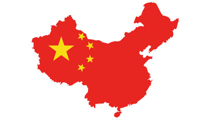 Political Map of China with National Flag, Illustrating Territory and Symbols on Isolated White Backgroundfavorite_border favorite
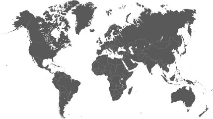 Adobe Illustrator Artworkfavorite_border favorite
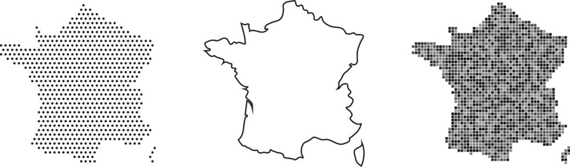 France map in three different stylesfavorite_border favorite
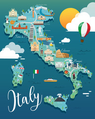 Italy map with attractive landmarks illustration.vectorfavorite_border favorite
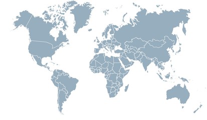 carte du monde 24072015favorite_border favorite
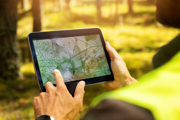 surveyor working with forest topography map in digital tablet. land surveyingfavorite_border favorite
 Vector Map - Blue Geometric Rumpled Triangular. Low poly map of Afghanistan. contour/shape map isolated on white background.favorite_border favorite
 Brazil map in vibrant low poly style, modern geometric design perfect for creative projects.favorite_border favorite
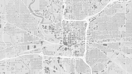 Black and white Indianapolis map with buildingsfavorite_border favorite
 Mountain hiking. Map line of topography. Vector abstract topographic map concept with space for your copy. 3D Cartography concep background. Map mockup infographics. World map Templatefavorite_border favorite
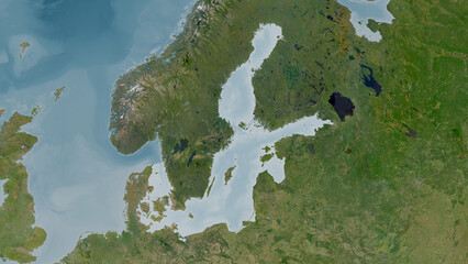 Baltic Sea highlighted. Satellite mapfavorite_border favorite
 Abstract image Poland map from point blue and glowing stars on a dark background. vector illustration.favorite_border favorite
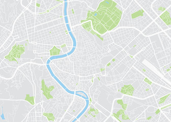 Rome colored vector mapfavorite_border favorite
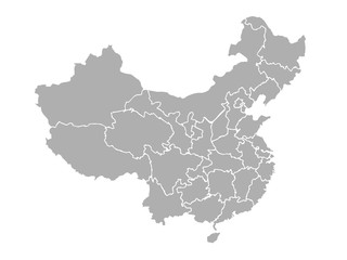 map of chinafavorite_border favorite
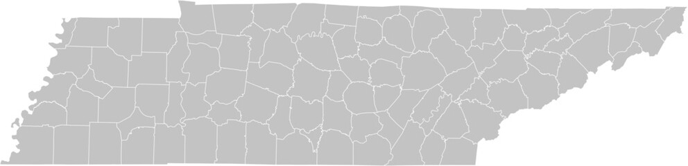 Tennessee vector map with county boundaries (Web Mercator projection, PPT-compatible & fully editable)favorite_border favorite
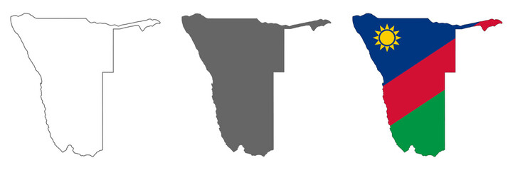 Highly detailed Namibia map with borders isolated on backgroundfavorite_border favorite
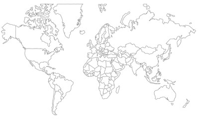 vector map of the worldfavorite_border favorite
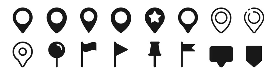 Set of map pin location icons. Modern map markers. Map pin place marker. Location icon. Map marker pointer icon set.favorite_border favorite
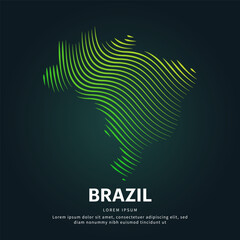 simple logo map of brazil Illustration in a linear style. Abstract line art brazil map Logotype concept icon. Vector logo Brazil map color silhouette on a dark background. EPS 10favorite_border favorite
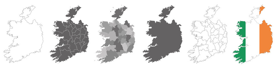 set of political maps of Ireland with regions and flag map isolated on white backgroundfavorite_border favorite
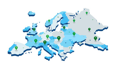 Europe 3d map with gps pins isolated on white background - Vectorfavorite_border favorite
 Urban vector city map of Torun, Polandfavorite_border favorite
 Map of Middle Eastfavorite_border favorite
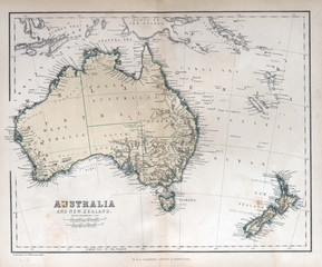 Old map of Australia & New Zealand, 1870favorite_border favorite
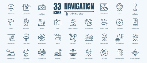 Navigation icon set with editable stroke and white background. Thin line style stock vector.favorite_border favorite
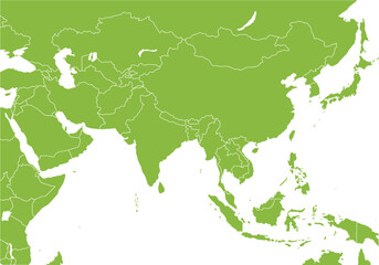 アジア全域の地図、国境線、エコロジーfavorite_border favorite
 Find your way. Location marking with a blue pin on a old map with wind rose. Adventure, discovery, navigation, communication, logistics, geography, transport and travel theme concept background.favorite_border favorite
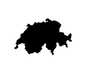 map of Switzerland. vector illustrationfavorite_border favorite
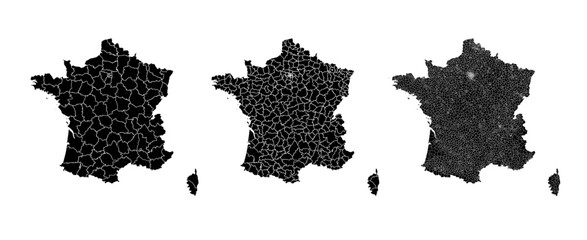 France map municipal, region, state division. Administrative borders, outline black on white background vector.favorite_border favorite
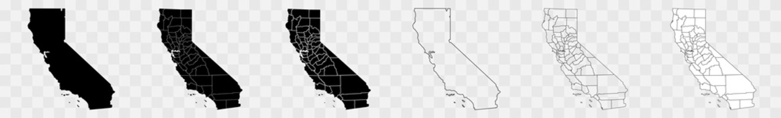 California Counties Map Black State County Border United States US America Transparent Isolated Variationsfavorite_border favorite
 Location pin icon flat vector illustration designfavorite_border favorite
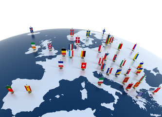 european countries - continent marked with flagsfavorite_border favorite
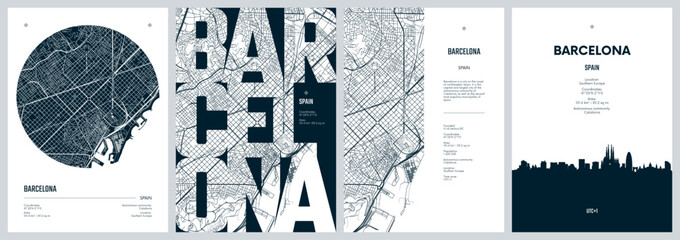 Set of travel posters with Barcelona, detailed urban street plan city map, Silhouette city skyline places of interest, vector artworkfavorite_border favorite
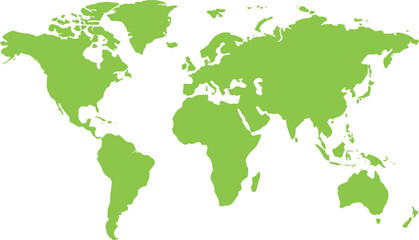 世界地図 緑favorite_border favorite
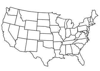 usa country mapfavorite_border favorite
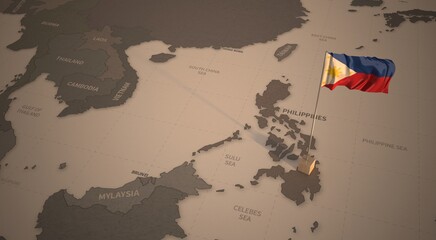 Flag on the map of philippines. Vintage Map and Flag of South Asia Countries Series 3D Renderingfavorite_border favorite
 Colorful metro scheme, railway transport or city bus mapfavorite_border favorite
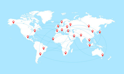 World map with countries borders and red location pointers.favorite_border favorite
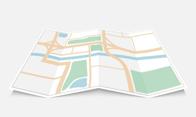 Folded paper city map, vector illustrationfavorite_border favorite
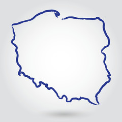 mapa konturowa POLSKI, POLSKAfavorite_border favorite
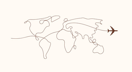 Travel by plane concept with top view airplane silhouette with single line path shaped world map behind it. Isolated on white background. Travel or vacation concept. Minimalistic vector illustration.favorite_border favorite
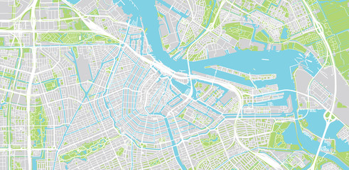 Urban vector city map of Amsterdam, The Netherlandsfavorite_border favorite
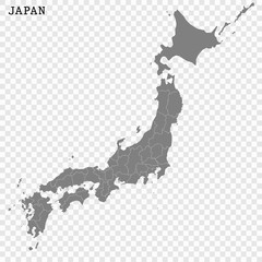 High quality map of Japan with borders of the regions or countiesfavorite_border favorite
 Vector map of the Islamic Republic of Iran with major cities and neighboring countriesfavorite_border favorite
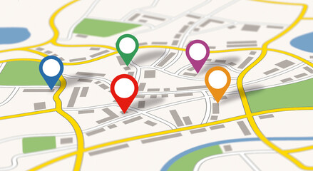 A generic city map with colorful iconsfavorite_border favorite
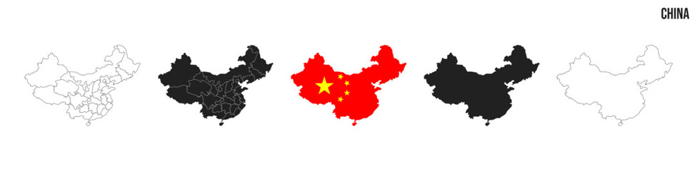 China map set. Map of China with flag. Vector EPS 10favorite_border favorite