-
Do ulubionych favorite_border
Usuń z ulubionych favorite
-
City map on white background 3d illustration
Do ulubionych favorite_border
Usuń z ulubionych favorite
-
Detailed map of Bialystok city, Cityscape. Royalty free vector illustration.
Do ulubionych favorite_border
Usuń z ulubionych favorite
-
Do ulubionych favorite_border
Usuń z ulubionych favorite
-
Australia Map Black Australian Border Continent Transparent Isolated Variations
Do ulubionych favorite_border
Usuń z ulubionych favorite
-
Globalized world, the future of digital technology. Connections and cloud computing in the virtual world. World map with satellite data connections. Connectivity across the world.
Do ulubionych favorite_border
Usuń z ulubionych favorite
-
California map vector illustration, scribble sketch California map
Do ulubionych favorite_border
Usuń z ulubionych favorite
-
Do ulubionych favorite_border
Usuń z ulubionych favorite
-
World map point and line composition concept of global business. Global network connection. Vector Illustration Free Vector
Do ulubionych favorite_border
Usuń z ulubionych favorite
-
High detailed, Old world map with decorative elements
Do ulubionych favorite_border
Usuń z ulubionych favorite
-
Europe continent with Poland detail flat map. Europe countries outlines. Europe. Transparent background
Do ulubionych favorite_border
Usuń z ulubionych favorite
-
Map line of topography. Vector abstract topographic map concept with space for your copy. Black and white wave. Abstract paper cut. Abstract colorful waves. Wavy banners. Color geometric form
Do ulubionych favorite_border
Usuń z ulubionych favorite
-
Black map country of Cyprus
Do ulubionych favorite_border
Usuń z ulubionych favorite
-
Vector detailed map of the city of Paris with its famous attractions and names.
Do ulubionych favorite_border
Usuń z ulubionych favorite
-
France map – vector illustration of regions and political borders
Do ulubionych favorite_border
Usuń z ulubionych favorite
-
Dotted path with points. isolated on white background. Vector illustration. EPS 10 .
Do ulubionych favorite_border
Usuń z ulubionych favorite
-
The Baltic States map templates. Latvia, Lithuania and Estonia map isolated on white background. Baltic States maps set. Vector illustration
Do ulubionych favorite_border
Usuń z ulubionych favorite
-
Happy couple traveling by authentic car in Europe, hipster girl holding touristic map planning route in mountains, lifestyle roadtrip travel concept
Do ulubionych favorite_border
Usuń z ulubionych favorite
-
Carte d'Espagne avec détail des provinces et des communautés
Do ulubionych favorite_border
Usuń z ulubionych favorite
-
World map detailed design of white color cut from paper.
Do ulubionych favorite_border
Usuń z ulubionych favorite
-
Vector map of Peru. Attraction. Historical places. Tourism. Cities. Guide. South America. Andean Mountains. Cordillera. Lima. Machu Picchu. Sacred Valley of the Incas. Titicaca. Amazonia. Nazca.
Do ulubionych favorite_border
Usuń z ulubionych favorite
-
Taiwan map vector illustration on white background. Map have all province and mark the capital city of Taiwan.
Do ulubionych favorite_border
Usuń z ulubionych favorite
-
East Asia vector map infographic template divided by countries. Slide presentation
Do ulubionych favorite_border
Usuń z ulubionych favorite
-
Do ulubionych favorite_border
Usuń z ulubionych favorite
-
Detailed map of New York City, USA
Do ulubionych favorite_border
Usuń z ulubionych favorite
-
Vector isolated illustration of simplified administrative map of Indonesia. Borders of the regions. Colorful blue khaki silhouettes
Do ulubionych favorite_border
Usuń z ulubionych favorite
-
Do ulubionych favorite_border
Usuń z ulubionych favorite
-
Montana, U.S. state, subdivided into 56 counties, gray political map with borders and county names. State in the Mountain West region of United States, nicknamed Big Sky Country, and Treasure State.
Do ulubionych favorite_border
Usuń z ulubionych favorite
-
Elevation geodetic map of the mountainous region of the western highlands of Vietnam. BLACK AND WHITE GEOGRAPHIC BACKGROUND STYLE WITH STRONG CONTRAST COLORS SHOWING TEMPERATURE
Do ulubionych favorite_border
Usuń z ulubionych favorite
-
United States of America map. USA Map With Divided States. Outline US map.
Do ulubionych favorite_border
Usuń z ulubionych favorite
-
Canada gray map with provinces. Vector illustration.
Do ulubionych favorite_border
Usuń z ulubionych favorite
-
World map with marked countries, capital, border. high quality world map vector.
Do ulubionych favorite_border
Usuń z ulubionych favorite
-
Brazil, satellite B - dark glow
Do ulubionych favorite_border
Usuń z ulubionych favorite
-
Map of South Korea in gray on a white background
Do ulubionych favorite_border
Usuń z ulubionych favorite
-
Infographic travel and landmark france map shape template design
Do ulubionych favorite_border
Usuń z ulubionych favorite
-
Gray World Map with Country Borders on Transparent Background. Flat vector world map in gray with national boundaries. Transparent background for versatile design use.
Do ulubionych favorite_border
Usuń z ulubionych favorite
-
Navigation and roads related editable stroke outline icons set isolated on white background flat vector illustration. Pixel perfect. 64 x 64.
Do ulubionych favorite_border
Usuń z ulubionych favorite
-
Abstract map of Spain with hexagon lines
Do ulubionych favorite_border
Usuń z ulubionych favorite
-
A continuous one line drawing of a google map view in an urban area. route directions and locations. Simple pins on way between two points in thin Linear style. Gps navigation and Travel concept.
Do ulubionych favorite_border
Usuń z ulubionych favorite
-
Close-up image of map lying on table and female hands pointing at it
Do ulubionych favorite_border
Usuń z ulubionych favorite
-
Vector city map of Paris in black and white
Do ulubionych favorite_border
Usuń z ulubionych favorite
-
Blue planet earth isolated on transparent background. Elements of this image furnished by NASA
Do ulubionych favorite_border
Usuń z ulubionych favorite
-
Light grey and white Houston city area vector background map, streets and water cartography illustration.
Do ulubionych favorite_border
Usuń z ulubionych favorite
-
Poland map. Road map of Poland. It includes all roads of the country (from highways to country roads and railways). Light grayscale decorative graphics.
Do ulubionych favorite_border
Usuń z ulubionych favorite
-
Vector Illustration Colorful Map Of The World With Country Names
Do ulubionych favorite_border
Usuń z ulubionych favorite
-
Сity map Rome, color detailed urban road plan, vector illustration
Do ulubionych favorite_border
Usuń z ulubionych favorite
-
Map icon set. Included the icons as location, area, navigation, navigator, direction and more.
Do ulubionych favorite_border
Usuń z ulubionych favorite
-
Do ulubionych favorite_border
Usuń z ulubionych favorite
-
Russia map on world map. The borders of Russia are colored. It looks different from other countries. Detailed representation of Russia country borders
Do ulubionych favorite_border
Usuń z ulubionych favorite
-
Urban vector city map of St Louis, California , United States of America
Do ulubionych favorite_border
Usuń z ulubionych favorite
-
Political map of European Union member states. 27 EU member states, after United Kingdom left. Special member state territories are not included. Blue and gray illustration, English labeling. Vector.
Do ulubionych favorite_border
Usuń z ulubionych favorite
-
Do ulubionych favorite_border
Usuń z ulubionych favorite
-
Vector illustration with map of North and South America continent with countries borders. Grey silhouettes, white background. White line borders of countries
Do ulubionych favorite_border
Usuń z ulubionych favorite
-
Poland on world map with flag
Do ulubionych favorite_border
Usuń z ulubionych favorite
-
Do ulubionych favorite_border
Usuń z ulubionych favorite
-
old medieval nautical Europe map
Do ulubionych favorite_border
Usuń z ulubionych favorite
-
Colorful Vector world map
Do ulubionych favorite_border
Usuń z ulubionych favorite
-
Engineer, people and hands with world map on screen for turbine location, power development and data analysis. Interactive display, teamwork and employee pointing to chart area for site selection
Do ulubionych favorite_border
Usuń z ulubionych favorite
-
United Kingdom silhouette map and two patterns of dots and slanted lines. Flat vector illustration isolated on white
Do ulubionych favorite_border
Usuń z ulubionych favorite
-
Dotted world map, line drawing of world map, world map silhouette
Do ulubionych favorite_border
Usuń z ulubionych favorite
-
Dot USA map. Dotted America map in flat design. US halftone pattern, isolated vector
Do ulubionych favorite_border
Usuń z ulubionych favorite
-
Map of USA with all states and all counties. Light. Isolated polygons
Do ulubionych favorite_border
Usuń z ulubionych favorite
-
River map vector illustration. Elbe river map, Hamburg city, Germany. Watercourse, water flow, blue on grey background road map.
Do ulubionych favorite_border
Usuń z ulubionych favorite
-
Orange blank map of Australia. Vector illustration
Do ulubionych favorite_border
Usuń z ulubionych favorite
-
High detailed vector map - sudan
Do ulubionych favorite_border
Usuń z ulubionych favorite
-
Сity map Amsterdam, color detailed urban road plan, vector illustration
Do ulubionych favorite_border
Usuń z ulubionych favorite
-
Map icon set. Included the icons as pin, nearby, direction, navigation, navigator, way, path and more.
Do ulubionych favorite_border
Usuń z ulubionych favorite
-
Abstract topographic map background Vector. 21:9 wallpaper design for fabric , packaging , web, geographic grid map vector illustration.
Do ulubionych favorite_border
Usuń z ulubionych favorite
-
Do ulubionych favorite_border
Usuń z ulubionych favorite
-
City map with red pin of GPS location. 3d vector illustration
Do ulubionych favorite_border
Usuń z ulubionych favorite
-
Latin America map digital 4k
Do ulubionych favorite_border
Usuń z ulubionych favorite
-
Digital web white map of Curtiba
Do ulubionych favorite_border
Usuń z ulubionych favorite
-
Vector illustration of USA and Europe maps in blue shades, showcasing geographical outlines with a modern, minimalist design on white background.
Do ulubionych favorite_border
Usuń z ulubionych favorite
-
Southeast Asia map. Indonesia, Malaysia,Thailand, Laos, Philippines, Vietnam, Singapore, Cambodia maps with regions. Asia map isolated on white background. High detailed. Vector illustration
Do ulubionych favorite_border
Usuń z ulubionych favorite
-
map of Spain and location on Europe map
Do ulubionych favorite_border
Usuń z ulubionych favorite
-
Fictional city map navigation with rivers and parks.
Do ulubionych favorite_border
Usuń z ulubionych favorite
-
Magnetic compass and location marking with a pin on routes on world map. Adventure, discovery, navigation, communication, logistics, geography, transport and travel theme concept background..
Do ulubionych favorite_border
Usuń z ulubionych favorite
-
Vector contour topographic map background. Topography and geography map grid abstract backdrop. Business concept. Vector illustration
Do ulubionych favorite_border
Usuń z ulubionych favorite
-
Map of Rhode Island state and position in the United States
Do ulubionych favorite_border
Usuń z ulubionych favorite
-
Vector world map for kids with cute cartoon planes and air balloons. Children's map design for wallpaper, kid's room, wall art. America, Europa, Asia, Africa, Australia, Arctica. Vector illustration.
Do ulubionych favorite_border
Usuń z ulubionych favorite
-
Canada country political vector map provinces blank black silhouette flat map isolated graphic design
Do ulubionych favorite_border
Usuń z ulubionych favorite
-
Old ragged Europe map torah, paper or parchment document roll isolated
Do ulubionych favorite_border
Usuń z ulubionych favorite
-
Generic city map with an icon
Do ulubionych favorite_border
Usuń z ulubionych favorite
-
Do ulubionych favorite_border
Usuń z ulubionych favorite
-
Carte de l'Espace Schengen (Textes en français)
Do ulubionych favorite_border
Usuń z ulubionych favorite
-
Texas map vector poster flyer
Do ulubionych favorite_border
Usuń z ulubionych favorite
-
set of 4 political maps of Thailand with regions isolated on white background
Do ulubionych favorite_border
Usuń z ulubionych favorite
-
Abstract of spain map network, internet and global connection concept, Wire Frame 3D mesh polygonal network line, design sphere, dot and structure. Vector illustration eps 10.
Do ulubionych favorite_border
Usuń z ulubionych favorite
-
Do ulubionych favorite_border
Usuń z ulubionych favorite
-
USA map icon, outline style
Do ulubionych favorite_border
Usuń z ulubionych favorite
-
Isometric map with a large red location pointer indicating a specific destination or GPS coordinate
Do ulubionych favorite_border
Usuń z ulubionych favorite
-
Map of Toruń, a city in north-central Poland and a UNESCO World Heritage Site - Urban borders map with streets and Vistula River.
Do ulubionych favorite_border
Usuń z ulubionych favorite
-
Baltic Sea Area Political Map
Do ulubionych favorite_border
Usuń z ulubionych favorite
-
Ilustração 3D do mapa do Brasil e suas regiões em um fundo azul.
Do ulubionych favorite_border
Usuń z ulubionych favorite
-
Africa map silhouette outline vector icon
Do ulubionych favorite_border
Usuń z ulubionych favorite
-
Do ulubionych favorite_border
Usuń z ulubionych favorite
-
Pirate and nautical theme grunge background
Do ulubionych favorite_border
Usuń z ulubionych favorite
-
Miniature people: small figurine of lonely young traveler walking on big map
Do ulubionych favorite_border
Usuń z ulubionych favorite
-
Vector road map of the city of Vancouver British Columbia in Canada on a white background.
Do ulubionych favorite_border
Usuń z ulubionych favorite
-
dark grey World map on colored background banner
Do ulubionych favorite_border
Usuń z ulubionych favorite
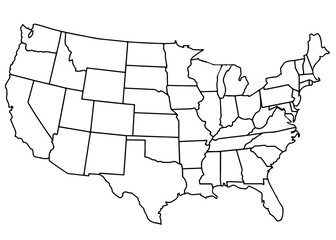 usa country mapfavorite_border favorite
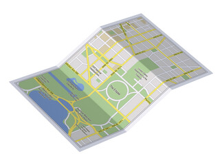 City map on white background 3d illustrationfavorite_border favorite
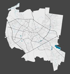 Detailed map of Bialystok city, Cityscape. Royalty free vector illustration.favorite_border favorite
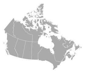 Map - Canadafavorite_border favorite
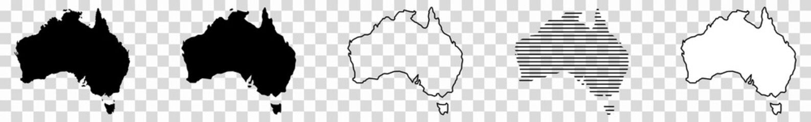 Australia Map Black Australian Border Continent Transparent Isolated Variationsfavorite_border favorite
 Globalized world, the future of digital technology. Connections and cloud computing in the virtual world. World map with satellite data connections. Connectivity across the world.favorite_border favorite
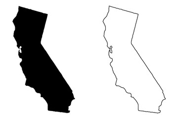 California map vector illustration, scribble sketch California mapfavorite_border favorite
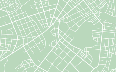 Street map of townfavorite_border favorite
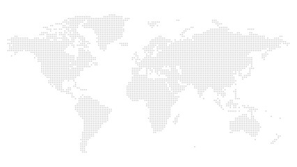 World map point and line composition concept of global business. Global network connection. Vector Illustration Free Vectorfavorite_border favorite
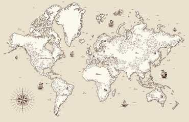 High detailed, Old world map with decorative elementsfavorite_border favorite
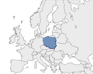 Europe continent with Poland detail flat map. Europe countries outlines. Europe. Transparent backgroundfavorite_border favorite
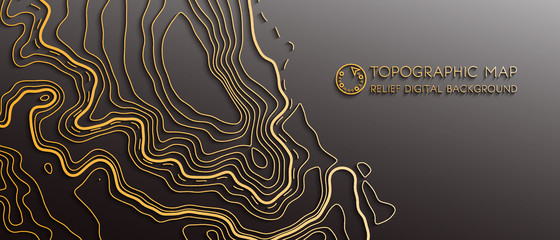 Map line of topography. Vector abstract topographic map concept with space for your copy. Black and white wave. Abstract paper cut. Abstract colorful waves. Wavy banners. Color geometric formfavorite_border favorite
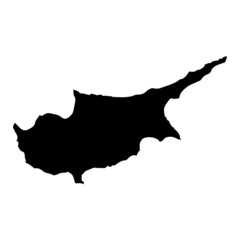 Black map country of Cyprusfavorite_border favorite
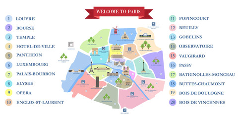 Vector detailed map of the city of Paris with its famous attractions and names.favorite_border favorite
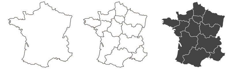 France map – vector illustration of regions and political bordersfavorite_border favorite
 Dotted path with points. isolated on white background. Vector illustration. EPS 10 .favorite_border favorite
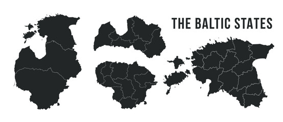 The Baltic States map templates. Latvia, Lithuania and Estonia map isolated on white background. Baltic States maps set. Vector illustrationfavorite_border favorite
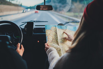 Happy couple traveling by authentic car in Europe, hipster girl holding touristic map planning route in mountains, lifestyle roadtrip travel conceptfavorite_border favorite
 Carte d'Espagne avec détail des provinces et des communautésfavorite_border favorite
 World map detailed design of white color cut from paper.favorite_border favorite
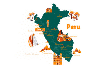 Vector map of Peru. Attraction. Historical places. Tourism. Cities. Guide. South America. Andean Mountains. Cordillera. Lima. Machu Picchu. Sacred Valley of the Incas. Titicaca. Amazonia. Nazca.favorite_border favorite
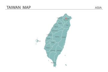 Taiwan map vector illustration on white background. Map have all province and mark the capital city of Taiwan.favorite_border favorite
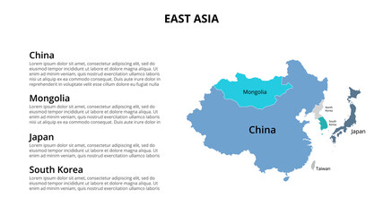 East Asia vector map infographic template divided by countries. Slide presentationfavorite_border favorite
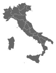 Map of Italyfavorite_border favorite
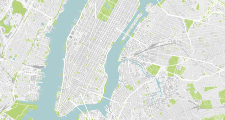 Detailed map of New York City, USAfavorite_border favorite
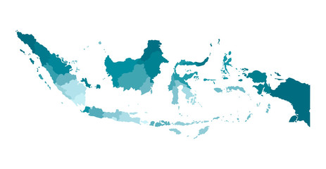 Vector isolated illustration of simplified administrative map of Indonesia. Borders of the regions. Colorful blue khaki silhouettesfavorite_border favorite
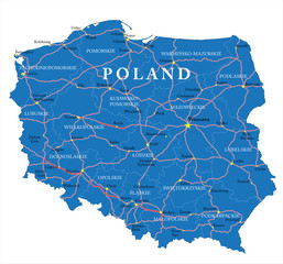 Poland mapfavorite_border favorite
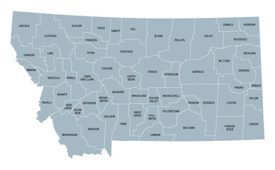 Montana, U.S. state, subdivided into 56 counties, gray political map with borders and county names. State in the Mountain West region of United States, nicknamed Big Sky Country, and Treasure State.favorite_border favorite
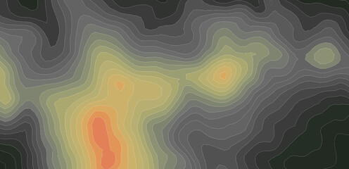 Elevation geodetic map of the mountainous region of the western highlands of Vietnam. BLACK AND WHITE GEOGRAPHIC BACKGROUND STYLE WITH STRONG CONTRAST COLORS SHOWING TEMPERATUREfavorite_border favorite
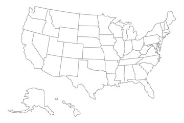 United States of America map. USA Map With Divided States. Outline US map.favorite_border favorite
 Canada gray map with provinces. Vector illustration.favorite_border favorite
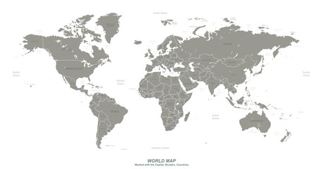 World map with marked countries, capital, border. high quality world map vector.favorite_border favorite
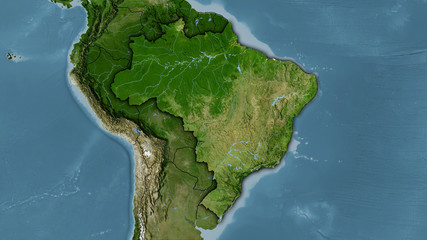 Brazil, satellite B - dark glowfavorite_border favorite
 Map of South Korea in gray on a white backgroundfavorite_border favorite
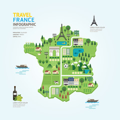 Infographic travel and landmark france map shape template designfavorite_border favorite
 Gray World Map with Country Borders on Transparent Background. Flat vector world map in gray with national boundaries. Transparent background for versatile design use.favorite_border favorite
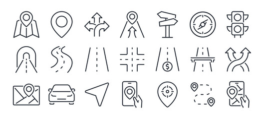 Navigation and roads related editable stroke outline icons set isolated on white background flat vector illustration. Pixel perfect. 64 x 64.favorite_border favorite
 Abstract map of Spain with hexagon linesfavorite_border favorite
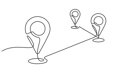 A continuous one line drawing of a google map view in an urban area. route directions and locations. Simple pins on way between two points in thin Linear style. Gps navigation and Travel concept.favorite_border favorite
 Close-up image of map lying on table and female hands pointing at itfavorite_border favorite
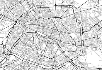 Vector city map of Paris in black and whitefavorite_border favorite
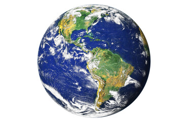 Blue planet earth isolated on transparent background. Elements of this image furnished by NASAfavorite_border favorite
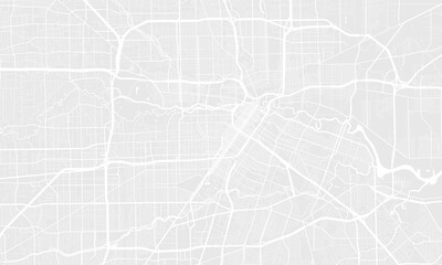 Light grey and white Houston city area vector background map, streets and water cartography illustration.favorite_border favorite
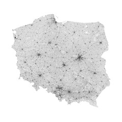 Poland map. Road map of Poland. It includes all roads of the country (from highways to country roads and railways). Light grayscale decorative graphics.favorite_border favorite
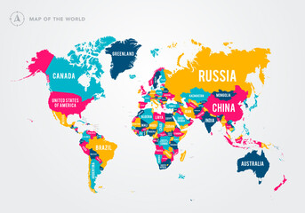 Vector Illustration Colorful Map Of The World With Country Namesfavorite_border favorite
 Сity map Rome, color detailed urban road plan, vector illustrationfavorite_border favorite
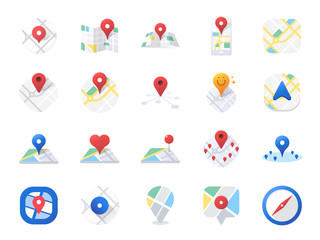 Map icon set. Included the icons as location, area, navigation, navigator, direction and more.favorite_border favorite
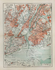 New York old mapfavorite_border favorite
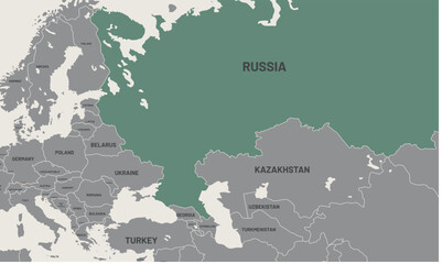 Russia map on world map. The borders of Russia are colored. It looks different from other countries. Detailed representation of Russia country bordersfavorite_border favorite
 Urban vector city map of St Louis, California , United States of Americafavorite_border favorite
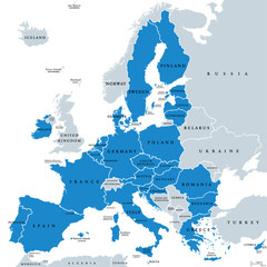 Political map of European Union member states. 27 EU member states, after United Kingdom left. Special member state territories are not included. Blue and gray illustration, English labeling. Vector.favorite_border favorite
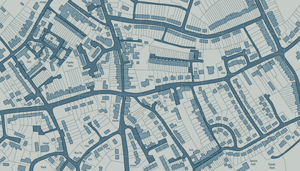 Housing mapfavorite_border favorite
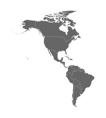 Vector illustration with map of North and South America continent with countries borders. Grey silhouettes, white background. White line borders of countriesfavorite_border favorite
 Poland on world map with flagfavorite_border favorite
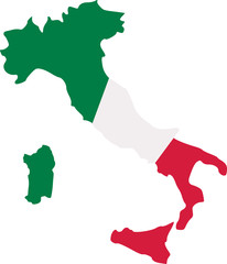 Italy map with flagfavorite_border favorite
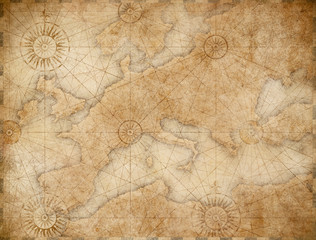 old medieval nautical Europe mapfavorite_border favorite
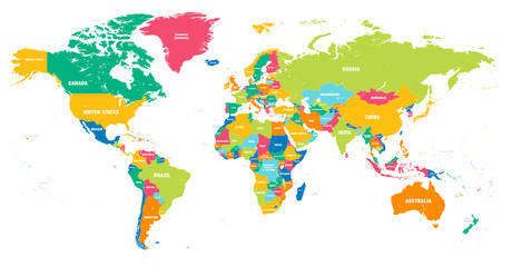 Colorful Vector world mapfavorite_border favorite
 Engineer, people and hands with world map on screen for turbine location, power development and data analysis. Interactive display, teamwork and employee pointing to chart area for site selectionfavorite_border favorite
 United Kingdom silhouette map and two patterns of dots and slanted lines. Flat vector illustration isolated on whitefavorite_border favorite
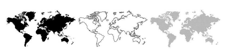 Dotted world map, line drawing of world map, world map silhouettefavorite_border favorite
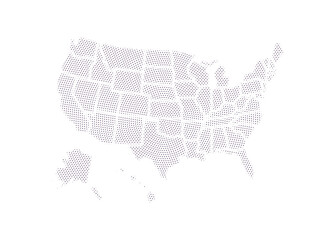 Dot USA map. Dotted America map in flat design. US halftone pattern, isolated vectorfavorite_border favorite
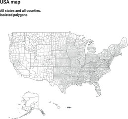 Map of USA with all states and all counties. Light. Isolated polygonsfavorite_border favorite
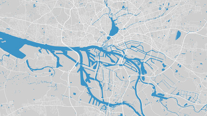 River map vector illustration. Elbe river map, Hamburg city, Germany. Watercourse, water flow, blue on grey background road map.favorite_border favorite
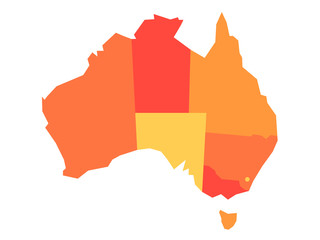 Orange blank map of Australia. Vector illustrationfavorite_border favorite
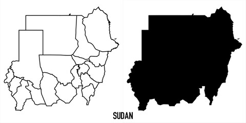 High detailed vector map - sudanfavorite_border favorite
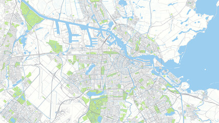 Сity map Amsterdam, color detailed urban road plan, vector illustrationfavorite_border favorite
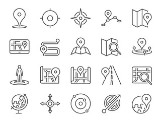 Map icon set. Included the icons as pin, nearby, direction, navigation, navigator, way, path and more.favorite_border favorite
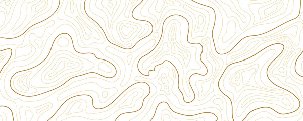 Abstract topographic map background Vector. 21:9 wallpaper design for fabric , packaging , web, geographic grid map vector illustration.favorite_border favorite
 map locator iconfavorite_border favorite
 City map with red pin of GPS location. 3d vector illustrationfavorite_border favorite
 Latin America map digital 4kfavorite_border favorite
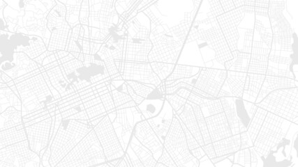 Digital web white map of Curtibafavorite_border favorite
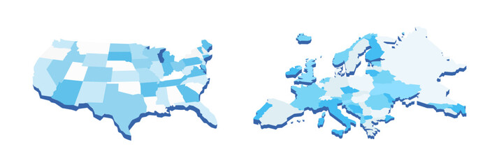 Vector illustration of USA and Europe maps in blue shades, showcasing geographical outlines with a modern, minimalist design on white background.favorite_border favorite
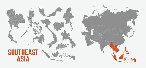 Southeast Asia map. Indonesia, Malaysia,Thailand, Laos, Philippines, Vietnam, Singapore, Cambodia maps with regions. Asia map isolated on white background. High detailed. Vector illustrationfavorite_border favorite
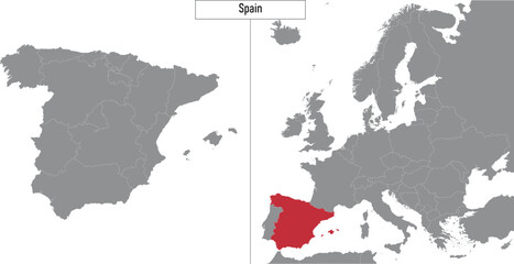 map of Spain and location on Europe mapfavorite_border favorite
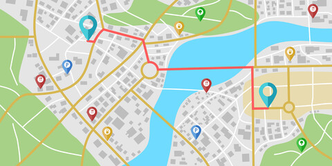 Fictional city map navigation with rivers and parks.favorite_border favorite
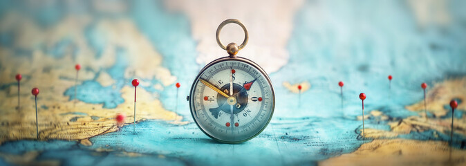 Magnetic compass and location marking with a pin on routes on world map. Adventure, discovery, navigation, communication, logistics, geography, transport and travel theme concept background..favorite_border favorite
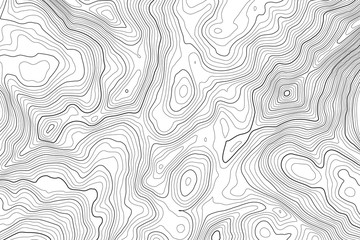 Vector contour topographic map background. Topography and geography map grid abstract backdrop. Business concept. Vector illustrationfavorite_border favorite
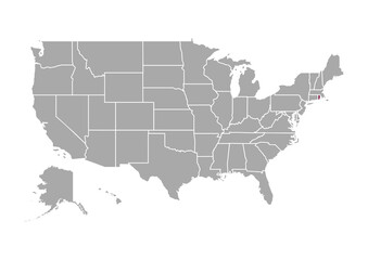 Map of Rhode Island state and position in the United Statesfavorite_border favorite
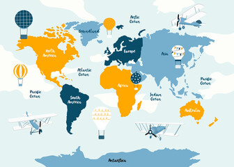 Vector world map for kids with cute cartoon planes and air balloons. Children's map design for wallpaper, kid's room, wall art. America, Europa, Asia, Africa, Australia, Arctica. Vector illustration.favorite_border favorite
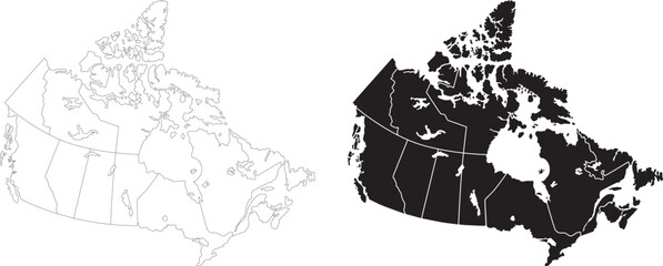 Canada country political vector map provinces blank black silhouette flat map isolated graphic designfavorite_border favorite
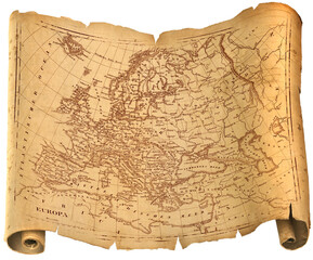 Old ragged Europe map torah, paper or parchment document roll isolatedfavorite_border favorite
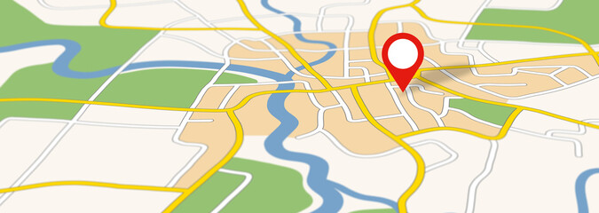 Generic city map with an iconfavorite_border favorite
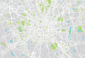 Milan city mapfavorite_border favorite
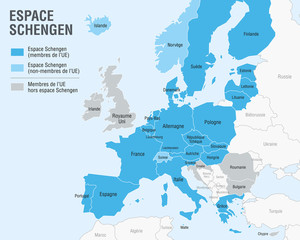 Carte de l'Espace Schengen (Textes en français)favorite_border favorite
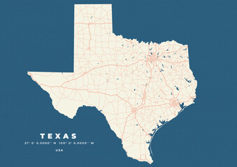 Texas map vector poster flyerfavorite_border favorite
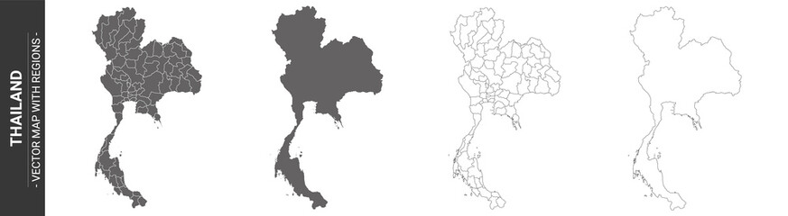 set of 4 political maps of Thailand with regions isolated on white backgroundfavorite_border favorite
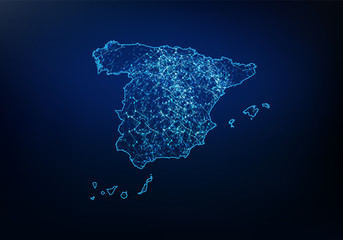 Abstract of spain map network, internet and global connection concept, Wire Frame 3D mesh polygonal network line, design sphere, dot and structure. Vector illustration eps 10.favorite_border favorite
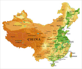 China relief mapfavorite_border favorite
 USA map icon, outline stylefavorite_border favorite
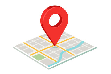 Isometric map with a large red location pointer indicating a specific destination or GPS coordinatefavorite_border favorite
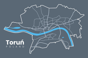 Map of Toruń, a city in north-central Poland and a UNESCO World Heritage Site - Urban borders map with streets and Vistula River.favorite_border favorite
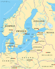 Baltic Sea Area Political Mapfavorite_border favorite
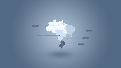 Ilustração 3D do mapa do Brasil e suas regiões em um fundo azul.favorite_border favorite
 Africa map silhouette outline vector iconfavorite_border favorite
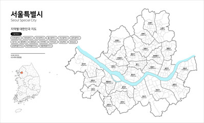 대한민국 지도-서울특별시favorite_border favorite
 Pirate and nautical theme grunge backgroundfavorite_border favorite
 Miniature people: small figurine of lonely young traveler walking on big mapfavorite_border favorite
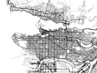 Vector road map of the city of Vancouver British Columbia in Canada on a white background.favorite_border favorite
 dark grey World map on colored background bannerfavorite_border favorite