-
Vector road map of the city of Vancouver British Columbia in Canada on a white background.
Do ulubionych favorite_border
Usuń z ulubionych favorite
-
dark grey World map on colored background banner
Do ulubionych favorite_border
Usuń z ulubionych favorite
-
Colorful detailed vector map of the Middle East, Arab country.
Do ulubionych favorite_border
Usuń z ulubionych favorite
-
Germany 3d map with borders Template for your design
Do ulubionych favorite_border
Usuń z ulubionych favorite
-
The North Carolina counties map isolated on white background
Do ulubionych favorite_border
Usuń z ulubionych favorite
-
Magnetic compass and location marking with a pin on routes on world map. Adventure, discovery, navigation, communication, logistics, geography, transport and travel theme concept background..
Do ulubionych favorite_border
Usuń z ulubionych favorite
-
Set of Pakistan map isolated on white background, vector illustration design
Do ulubionych favorite_border
Usuń z ulubionych favorite
-
Earth night view from space map with city lights satellite-based observations. "Elements of this image furnished by NASA light pollution map
Do ulubionych favorite_border
Usuń z ulubionych favorite
-
set of 4 political maps of Turkey with regions isolated on white background
Do ulubionych favorite_border
Usuń z ulubionych favorite
-
Topographic map. Height map with contour lines and dotted line grid seamless vector pattern background illustration
Do ulubionych favorite_border
Usuń z ulubionych favorite
-
Abstract topographic lines in blue, purple and teal tones over a dark background. Texture of lines. Geodesy topographic map background. Copy space
Do ulubionych favorite_border
Usuń z ulubionych favorite
-
Contour map of Poland with rivers and lakes
Do ulubionych favorite_border
Usuń z ulubionych favorite
-
Do ulubionych favorite_border
Usuń z ulubionych favorite
-
Businessman holding a 3d rendering pin holder on a map
Do ulubionych favorite_border
Usuń z ulubionych favorite
-
A generic city map with icons
Do ulubionych favorite_border
Usuń z ulubionych favorite
-
Detailed map of Seattle, USA
Do ulubionych favorite_border
Usuń z ulubionych favorite
-
Map of USA icon collection, country and north America, USA map sign vector set graphics, editable stroke linear icon, eps 10
Do ulubionych favorite_border
Usuń z ulubionych favorite
-
Top view on road map. Curve highway roadway. Vector infographic
Do ulubionych favorite_border
Usuń z ulubionych favorite
-
Do ulubionych favorite_border
Usuń z ulubionych favorite
-
Illinois black map on white background vector
Do ulubionych favorite_border
Usuń z ulubionych favorite
-
Indonesia political map of administrative divisions
Do ulubionych favorite_border
Usuń z ulubionych favorite
-
Planet Earth. Earth Day. The Earth, World Map on white background. Vector illustration. EPS 10
Do ulubionych favorite_border
Usuń z ulubionych favorite
-
North American Countries Map. The main boundary map of Canada, the United States.
Do ulubionych favorite_border
Usuń z ulubionych favorite
-
map of Ontario province of Canada
Do ulubionych favorite_border
Usuń z ulubionych favorite
-
Planet Earth from Space USA, United States highlighted state border and counties animation, elements of this image courtesy of NASA
Do ulubionych favorite_border
Usuń z ulubionych favorite
-
Find your way. Location marking with a pin on a map with routes. Adventure, discovery, navigation, communication, logistics, geography, transport and travel theme concept background.
Do ulubionych favorite_border
Usuń z ulubionych favorite
-
City map with parks and squares, rivers and ponds. Town streets and avenues. Urban gps navigation plan
Do ulubionych favorite_border
Usuń z ulubionych favorite
-
Vector color map of Tokyo, Japan. City Plan of Tokyo
Do ulubionych favorite_border
Usuń z ulubionych favorite
-
set of 4 political maps of Slovakia with regions isolated on white background
Do ulubionych favorite_border
Usuń z ulubionych favorite
-
Scalable vector map illustration of spain eps icon for general design projects
Do ulubionych favorite_border
Usuń z ulubionych favorite
-
North America map. United States of America map with regions. North America map isolated on white background. High detailed. Vector illustration
Do ulubionych favorite_border
Usuń z ulubionych favorite
-
Dot Germany map. Vector geographic map on white and blue backgrounds. Vector composition of Germany map made with sphere dots.
Do ulubionych favorite_border
Usuń z ulubionych favorite
-
Simple (only sharp corners) map of Colombia vector drawing. Mercator projection. Filled and outline version.
Do ulubionych favorite_border
Usuń z ulubionych favorite
-
Children's map of the world with sights detailed
Do ulubionych favorite_border
Usuń z ulubionych favorite
-
Seamless bumpy textured plastic or rubber normal map background texture. Painted plaster repeat pattern. Realistic 8k game or architecture design height or bump mapping material shader 3D rendering.
Do ulubionych favorite_border
Usuń z ulubionych favorite
-
Part of urban plan of a town and river. Vector abstract topographic map for your design.
Do ulubionych favorite_border
Usuń z ulubionych favorite
-
City planning. Urban big data map. Smart city. People activity analysis. Urban clusters hotspots. Megapolis monitoring technology.
Do ulubionych favorite_border
Usuń z ulubionych favorite
-
World map black silhouette on white background simple flat vector
Do ulubionych favorite_border
Usuń z ulubionych favorite
-
Singapore map with administrative divisions. Vector illustration.
Do ulubionych favorite_border
Usuń z ulubionych favorite
-
Urban vector city map of Radom, Poland
Do ulubionych favorite_border
Usuń z ulubionych favorite
-
Colorful vector map of EU, European Union, member states
Do ulubionych favorite_border
Usuń z ulubionych favorite
-
Do ulubionych favorite_border
Usuń z ulubionych favorite
-
Vintage map of India and Southeast Asia, printed in 1750.
Do ulubionych favorite_border
Usuń z ulubionych favorite
-
united states 3d map with borders Template for your design
Do ulubionych favorite_border
Usuń z ulubionych favorite
-
Detailed map of Bialystok city, Cityscape. Royalty free vector illustration.
Do ulubionych favorite_border
Usuń z ulubionych favorite
-
Set of MALAWI Maps with Main Map and Regional maps
Do ulubionych favorite_border
Usuń z ulubionych favorite
-
Tennessee state map with counties borders and colored congressional districts boundaries due to The 2020 United States census and which is valid since 2023. Flag of Tennessee. Vector
Do ulubionych favorite_border
Usuń z ulubionych favorite
-
Abstract image United Kingdom map from point blue and glowing stars on a dark background. vector illustration. Vector eps 10.
Do ulubionych favorite_border
Usuń z ulubionych favorite
-
Vintage Europe map retro background. Based on image furnished from NASA.
Do ulubionych favorite_border
Usuń z ulubionych favorite
-
The Caribbean Islands regions map
Do ulubionych favorite_border
Usuń z ulubionych favorite
-
vector street map of greek mediterranean island crete
Do ulubionych favorite_border
Usuń z ulubionych favorite
-
Brazil map vector set. Outline, silhouette, and political regions illustration.
Do ulubionych favorite_border
Usuń z ulubionych favorite
-
United States of America, Washington D.C. - push pin on political map - 3D illustration
Do ulubionych favorite_border
Usuń z ulubionych favorite
-
Vector Political World Map Fuller Projection, Dymaxion World map
Do ulubionych favorite_border
Usuń z ulubionych favorite
-
Do ulubionych favorite_border
Usuń z ulubionych favorite
-
city map for any kind of digital info graphics and print publication. gps map.EPS10 separate layers.
Do ulubionych favorite_border
Usuń z ulubionych favorite
-
World map silhouette. Digital simple grey map in flat style. Vector realistic illustration earth isolated on white background
Do ulubionych favorite_border
Usuń z ulubionych favorite
-
Geopolitical Vector Map of the Autonomous Community of Catalonia (Cataluña/Catalunya/Catalonha) with Provinces, Judicial Areas, Comarques and Municipalities as of 2022 - Spain
Do ulubionych favorite_border
Usuń z ulubionych favorite
-
Vector design of the street map of Phoenix against a white background
Do ulubionych favorite_border
Usuń z ulubionych favorite
-
Vector city map of New York
Do ulubionych favorite_border
Usuń z ulubionych favorite
-
Customer Journey Isometric Outline Illustration
Do ulubionych favorite_border
Usuń z ulubionych favorite
-
Map of Rhode Island state and position in the United States
Do ulubionych favorite_border
Usuń z ulubionych favorite
-
Mapa del País Vasco o Euskadi con las provincias de Guipúzcoa, Donostia, Vizcaya y Bilbao. Silueta del mapa del País Vasco en verde
Do ulubionych favorite_border
Usuń z ulubionych favorite
-
sao paolo state location within Brazil 3d map Template for your design
Do ulubionych favorite_border
Usuń z ulubionych favorite
-
new zealand map shape simplified silhouette
Do ulubionych favorite_border
Usuń z ulubionych favorite
-
top view of vintage camera, notepad with fountain pen and painting on map background
Do ulubionych favorite_border
Usuń z ulubionych favorite
-
Poland-World-Countries-VectorMap-A
Do ulubionych favorite_border
Usuń z ulubionych favorite
-
Map of North America, isolated on white background. Vector EPS.10
Do ulubionych favorite_border
Usuń z ulubionych favorite
-
old pirates treasure map isolated
Do ulubionych favorite_border
Usuń z ulubionych favorite
-
spain map on vintage crack paper background
Do ulubionych favorite_border
Usuń z ulubionych favorite
-
Detailed Dotted World Map Vector
Do ulubionych favorite_border
Usuń z ulubionych favorite
-
old vintage world map vector background
Do ulubionych favorite_border
Usuń z ulubionych favorite
-
Do ulubionych favorite_border
Usuń z ulubionych favorite
-
Curved world map silhouette, half globe of blue planet Earth, global business geography, worldwide international. Africa, Asia and America, Europe, Australia continents. Travel vector infographics
Do ulubionych favorite_border
Usuń z ulubionych favorite
-
Do ulubionych favorite_border
Usuń z ulubionych favorite
-
Latvia political map of administrative divisions - municipalities and cities. Solid blue blank vector map with white borders.
Do ulubionych favorite_border
Usuń z ulubionych favorite
-
Old map of Brittany (France) - From an 1656 Atlas of Geography from P. du Val - France (Private collection)
Do ulubionych favorite_border
Usuń z ulubionych favorite
-
high detailed vector map of Europe main rivers
Do ulubionych favorite_border
Usuń z ulubionych favorite
-
China map – vector illustration of provinces and political borders
Do ulubionych favorite_border
Usuń z ulubionych favorite
-
Urban vector city map of Charlotte, North Carolina, United States of America
Do ulubionych favorite_border
Usuń z ulubionych favorite
-
Do ulubionych favorite_border
Usuń z ulubionych favorite
-
Set of transparent globes of Earth. World map template with continents. Realistic world map in globe shape with transparent texture and shadow. Abstract 3d globe icon
Do ulubionych favorite_border
Usuń z ulubionych favorite
-
Old Map of the United States, 1867, Mitchell
Do ulubionych favorite_border
Usuń z ulubionych favorite
-
Do ulubionych favorite_border
Usuń z ulubionych favorite
-
Dark area map of Tokyo, Japan
Do ulubionych favorite_border
Usuń z ulubionych favorite
-
A detailed map of Nepal, highlighting major cities and its borders with India and China
Do ulubionych favorite_border
Usuń z ulubionych favorite
-
Physical map of Mediterranean region, with high resolution details. Flattened satellite view of Planet Earth and its topography. 3D illustration - Elements of this image furnished by NASA
Do ulubionych favorite_border
Usuń z ulubionych favorite
-
Map world Curved shape Gray vector
Do ulubionych favorite_border
Usuń z ulubionych favorite
-
vintage world map background stylization
Do ulubionych favorite_border
Usuń z ulubionych favorite
-
Location pin or map pin icon set. GPS location sign. Map navigation sign in red and black color
Do ulubionych favorite_border
Usuń z ulubionych favorite
-
Bulgaria map detailed in outline, grey color, dotted style.
Do ulubionych favorite_border
Usuń z ulubionych favorite
-
Set of isolated Netherlands maps with regions. Isolated borders, departments, municipalities.
Do ulubionych favorite_border
Usuń z ulubionych favorite
-
Eurasia Map vector. Gray similar world map blank vector on transparent background. Gray similar Eurasia map with borders of all countries and Countries of the UK. Quality Eurasia map.
Do ulubionych favorite_border
Usuń z ulubionych favorite
-
Watercolor map of USA, United States Of America
Do ulubionych favorite_border
Usuń z ulubionych favorite
-
Hiking young woman traveler with backpack checks map to find directions in wilderness area, real explorer. Travel Concept
Do ulubionych favorite_border
Usuń z ulubionych favorite
-
set of 4 political maps of Morocco with regions isolated on white background
Do ulubionych favorite_border
Usuń z ulubionych favorite
-
world map on grunge background
Do ulubionych favorite_border
Usuń z ulubionych favorite
-
Asia map. Map of Asia Pacific. Oceania map. High quality vector countries map of South pacific and asia.
Do ulubionych favorite_border
Usuń z ulubionych favorite
-
South Africa map. Borders of South Africa for your infographic. Vector country shape. Vector illustration.
Do ulubionych favorite_border
Usuń z ulubionych favorite
-
Latin American Integration Association countries map highlighted on world map. Social and economic development. Business concepts.
Do ulubionych favorite_border
Usuń z ulubionych favorite
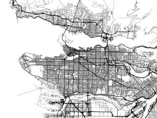 Vector road map of the city of Vancouver British Columbia in Canada on a white background.favorite_border favorite
 dark grey World map on colored background bannerfavorite_border favorite
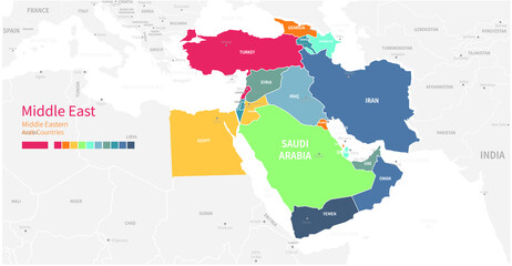 Colorful detailed vector map of the Middle East, Arab country.favorite_border favorite
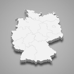 Germany 3d map with borders Template for your designfavorite_border favorite
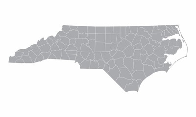 The North Carolina counties map isolated on white backgroundfavorite_border favorite
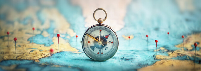 Magnetic compass and location marking with a pin on routes on world map. Adventure, discovery, navigation, communication, logistics, geography, transport and travel theme concept background..favorite_border favorite
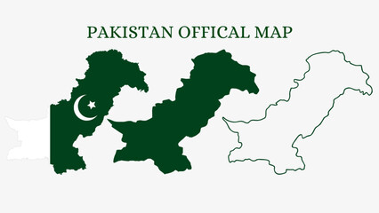 Set of Pakistan map isolated on white background, vector illustration designfavorite_border favorite
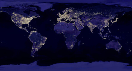 Earth night view from space map with city lights satellite-based observations. "Elements of this image furnished by NASA light pollution mapfavorite_border favorite
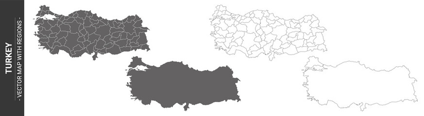 set of 4 political maps of Turkey with regions isolated on white backgroundfavorite_border favorite
 Topographic map. Height map with contour lines and dotted line grid seamless vector pattern background illustrationfavorite_border favorite
 Abstract topographic lines in blue, purple and teal tones over a dark background. Texture of lines. Geodesy topographic map background. Copy spacefavorite_border favorite
 Contour map of Poland with rivers and lakesfavorite_border favorite
 Europe - physical mapfavorite_border favorite
 Businessman holding a 3d rendering pin holder on a mapfavorite_border favorite
 A generic city map with iconsfavorite_border favorite
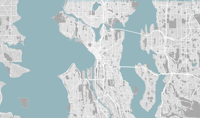 Detailed map of Seattle, USAfavorite_border favorite
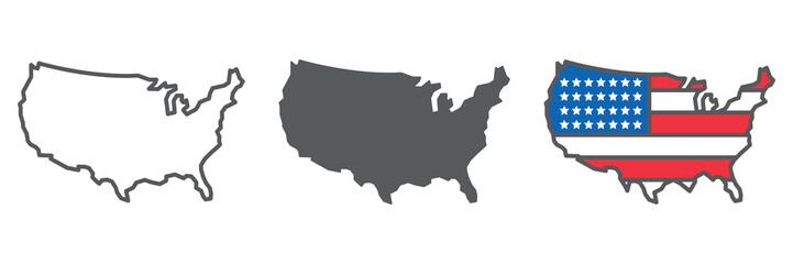 Map of USA icon collection, country and north America, USA map sign vector set graphics, editable stroke linear icon, eps 10favorite_border favorite
 Top view on road map. Curve highway roadway. Vector infographicfavorite_border favorite
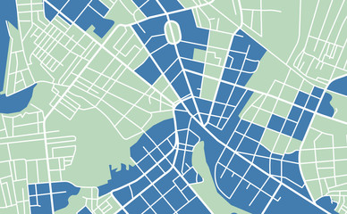 Street map of townfavorite_border favorite
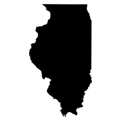 Illinois black map on white background vectorfavorite_border favorite
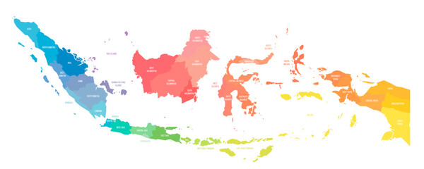 Indonesia political map of administrative divisionsfavorite_border favorite
 Planet Earth. Earth Day. The Earth, World Map on white background. Vector illustration. EPS 10favorite_border favorite
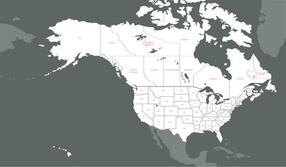 North American Countries Map. The main boundary map of Canada, the United States.favorite_border favorite
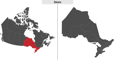 map of Ontario province of Canadafavorite_border favorite
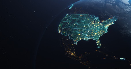 Planet Earth from Space USA, United States highlighted state border and counties animation, elements of this image courtesy of NASAfavorite_border favorite
 Find your way. Location marking with a pin on a map with routes. Adventure, discovery, navigation, communication, logistics, geography, transport and travel theme concept background.favorite_border favorite
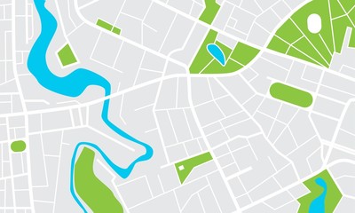 City map with parks and squares, rivers and ponds. Town streets and avenues. Urban gps navigation planfavorite_border favorite
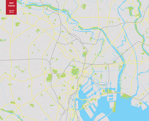 Vector color map of Tokyo, Japan. City Plan of Tokyofavorite_border favorite
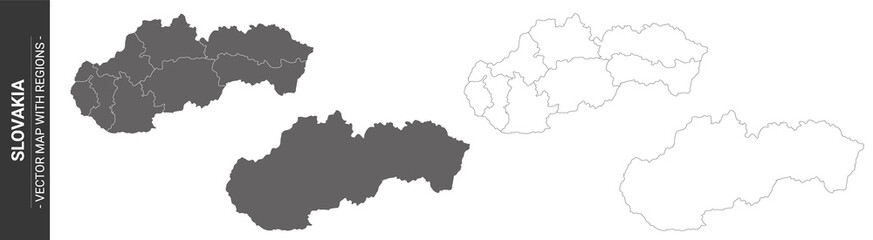 set of 4 political maps of Slovakia with regions isolated on white backgroundfavorite_border favorite
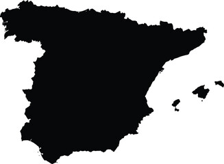 Scalable vector map illustration of spain eps icon for general design projectsfavorite_border favorite
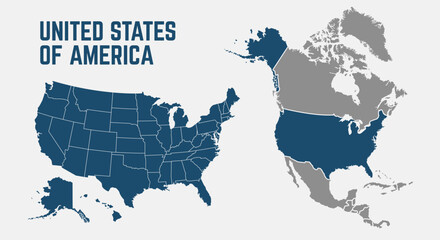 North America map. United States of America map with regions. North America map isolated on white background. High detailed. Vector illustrationfavorite_border favorite
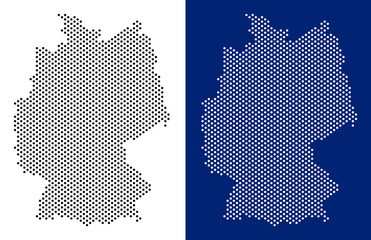 Dot Germany map. Vector geographic map on white and blue backgrounds. Vector composition of Germany map made with sphere dots.favorite_border favorite
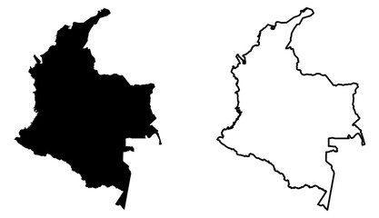 Simple (only sharp corners) map of Colombia vector drawing. Mercator projection. Filled and outline version.favorite_border favorite
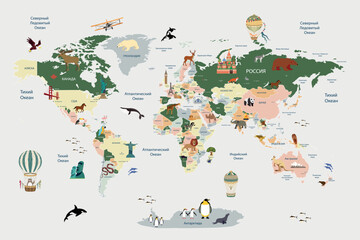 Children's map of the world with sights detailedfavorite_border favorite
 Seamless bumpy textured plastic or rubber normal map background texture. Painted plaster repeat pattern. Realistic 8k game or architecture design height or bump mapping material shader 3D rendering.favorite_border favorite
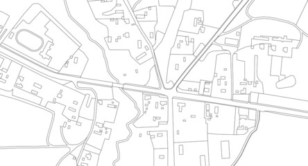 Part of urban plan of a town and river. Vector abstract topographic map for your design.favorite_border favorite
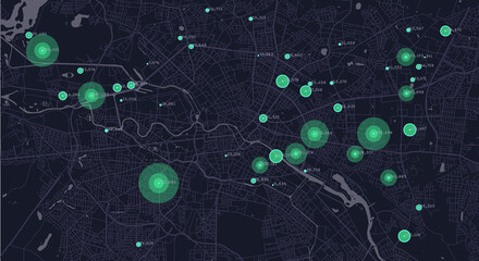 City planning. Urban big data map. Smart city. People activity analysis. Urban clusters hotspots. Megapolis monitoring technology.favorite_border favorite
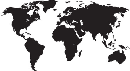 World map black silhouette on white background simple flat vectorfavorite_border favorite
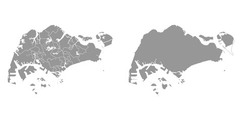 Singapore map with administrative divisions. Vector illustration.favorite_border favorite
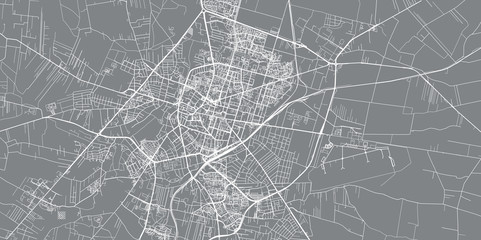 Urban vector city map of Radom, Polandfavorite_border favorite
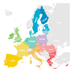 Colorful vector map of EU, European Union, member statesfavorite_border favorite
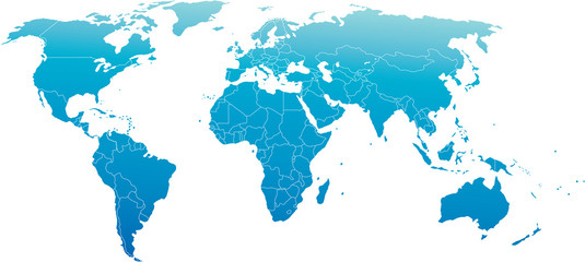 world mapfavorite_border favorite
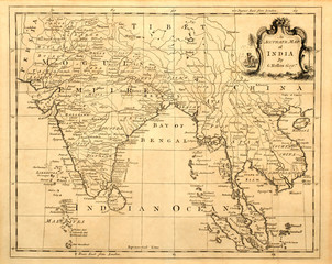 Vintage map of India and Southeast Asia, printed in 1750.favorite_border favorite
 united states 3d map with borders Template for your designfavorite_border favorite
 Detailed map of Bialystok city, Cityscape. Royalty free vector illustration.favorite_border favorite
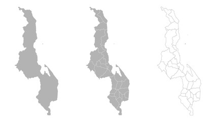 Set of MALAWI Maps with Main Map and Regional mapsfavorite_border favorite
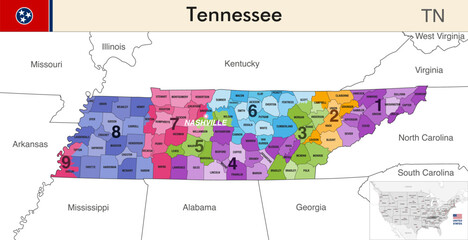 Tennessee state map with counties borders and colored congressional districts boundaries due to The 2020 United States census and which is valid since 2023. Flag of Tennessee. Vectorfavorite_border favorite
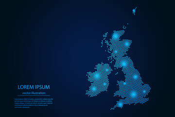 Abstract image United Kingdom map from point blue and glowing stars on a dark background. vector illustration. Vector eps 10.favorite_border favorite
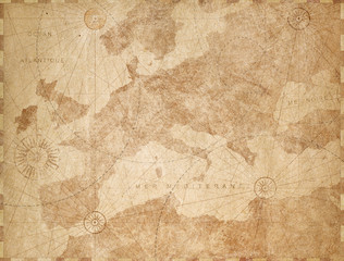 Vintage Europe map retro background. Based on image furnished from NASA.favorite_border favorite
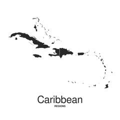 The Caribbean Islands regions mapfavorite_border favorite
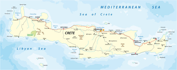 vector street map of greek mediterranean island cretefavorite_border favorite
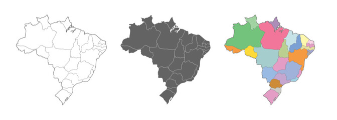 Brazil map vector set. Outline, silhouette, and political regions illustration.favorite_border favorite
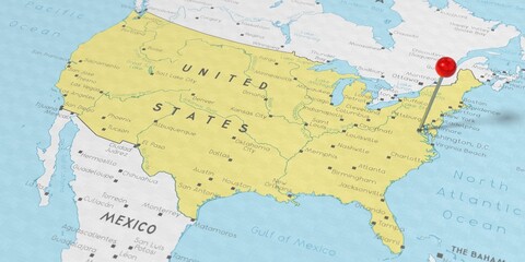 United States of America, Washington D.C. - push pin on political map - 3D illustrationfavorite_border favorite
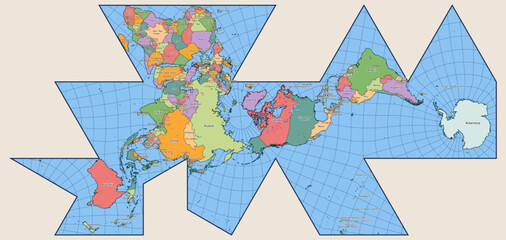 Vector Political World Map Fuller Projection, Dymaxion World mapfavorite_border favorite
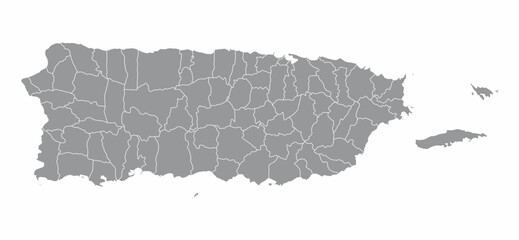 Puerto Rico mapfavorite_border favorite
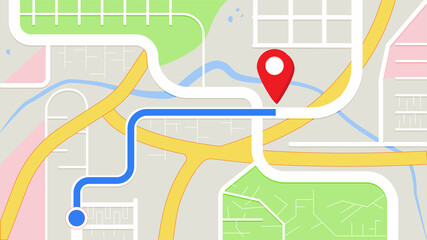 city map for any kind of digital info graphics and print publication. gps map.EPS10 separate layers.favorite_border favorite
 World map silhouette. Digital simple grey map in flat style. Vector realistic illustration earth isolated on white backgroundfavorite_border favorite
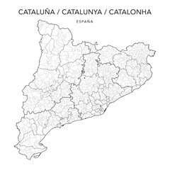 Geopolitical Vector Map of the Autonomous Community of Catalonia (Cataluña/Catalunya/Catalonha) with Provinces, Judicial Areas, Comarques and Municipalities as of 2022 - Spainfavorite_border favorite
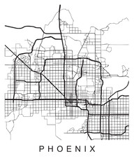 Vector design of the street map of Phoenix against a white backgroundfavorite_border favorite
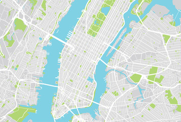 Vector city map of New Yorkfavorite_border favorite
 Customer Journey Isometric Outline Illustrationfavorite_border favorite
 Map of Rhode Island state and position in the United Statesfavorite_border favorite
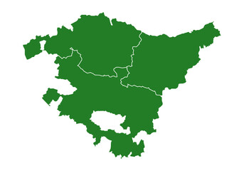 Mapa del País Vasco o Euskadi con las provincias de Guipúzcoa, Donostia, Vizcaya y Bilbao. Silueta del mapa del País Vasco en verdefavorite_border favorite
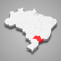 sao paolo state location within Brazil 3d map Template for your designfavorite_border favorite
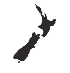 new zealand map shape simplified silhouettefavorite_border favorite
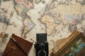 top view of vintage camera, notepad with fountain pen and painting on map backgroundfavorite_border favorite
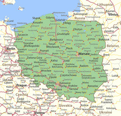 Poland-World-Countries-VectorMap-Afavorite_border favorite
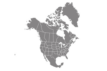 Map of North America, isolated on white background. Vector EPS.10favorite_border favorite
 old pirates treasure map isolatedfavorite_border favorite
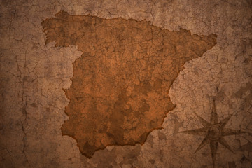 spain map on vintage crack paper backgroundfavorite_border favorite
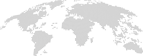 Detailed Dotted World Map Vectorfavorite_border favorite
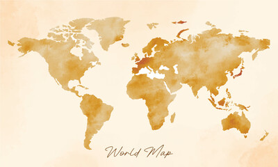 old vintage world map vector backgroundfavorite_border favorite
 mapsfavorite_border favorite
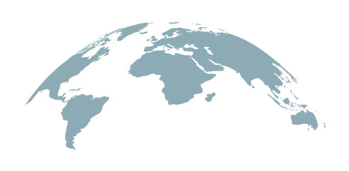 Curved world map silhouette, half globe of blue planet Earth, global business geography, worldwide international. Africa, Asia and America, Europe, Australia continents. Travel vector infographicsfavorite_border favorite
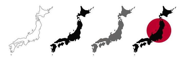 Japan map vector set.favorite_border favorite
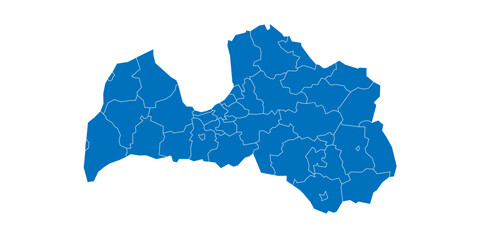 Latvia political map of administrative divisions - municipalities and cities. Solid blue blank vector map with white borders.favorite_border favorite
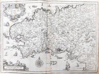 Old map of Brittany (France) - From an 1656 Atlas of Geography from P. du Val - France (Private collection)favorite_border favorite
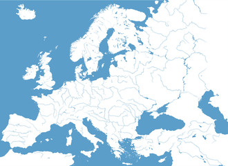 high detailed vector map of Europe main riversfavorite_border favorite
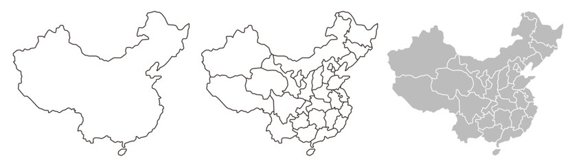 China map – vector illustration of provinces and political bordersfavorite_border favorite
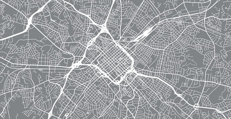 Urban vector city map of Charlotte, North Carolina, United States of Americafavorite_border favorite
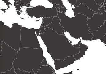 中東地域の地図、モノクロfavorite_border favorite
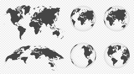 Set of transparent globes of Earth. World map template with continents. Realistic world map in globe shape with transparent texture and shadow. Abstract 3d globe iconfavorite_border favorite
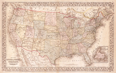 Old Map of the United States, 1867, Mitchellfavorite_border favorite
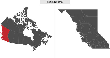 map of British Columbiafavorite_border favorite
 Dark area map of Tokyo, Japanfavorite_border favorite
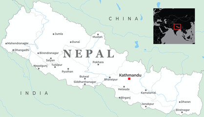 A detailed map of Nepal, highlighting major cities and its borders with India and Chinafavorite_border favorite
 Physical map of Mediterranean region, with high resolution details. Flattened satellite view of Planet Earth and its topography. 3D illustration - Elements of this image furnished by NASAfavorite_border favorite
 Map world Curved shape Gray vectorfavorite_border favorite
 vintage world map background stylizationfavorite_border favorite
 Location pin or map pin icon set. GPS location sign. Map navigation sign in red and black colorfavorite_border favorite
 Bulgaria map detailed in outline, grey color, dotted style.favorite_border favorite
 Set of isolated Netherlands maps with regions. Isolated borders, departments, municipalities.favorite_border favorite
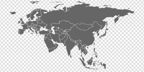 Eurasia Map vector. Gray similar world map blank vector on transparent background. Gray similar Eurasia map with borders of all countries and Countries of the UK. Quality Eurasia map.favorite_border favorite
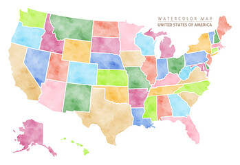 Watercolor map of USA, United States Of Americafavorite_border favorite
 Hiking young woman traveler with backpack checks map to find directions in wilderness area, real explorer. Travel Conceptfavorite_border favorite
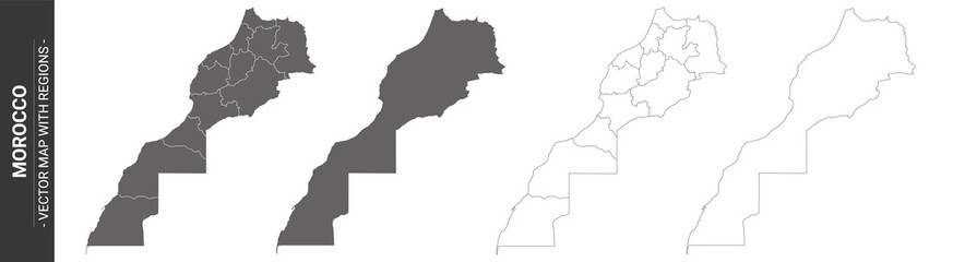 set of 4 political maps of Morocco with regions isolated on white backgroundfavorite_border favorite
 world map on grunge backgroundfavorite_border favorite
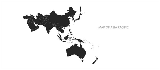 Asia map. Map of Asia Pacific. Oceania map. High quality vector countries map of South pacific and asia.favorite_border favorite
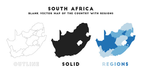 South Africa map. Borders of South Africa for your infographic. Vector country shape. Vector illustration.favorite_border favorite
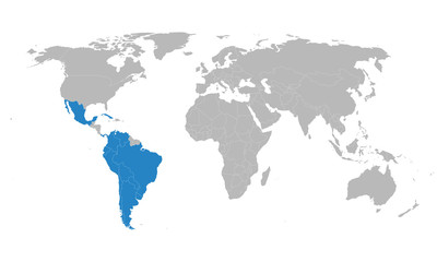 Latin American Integration Association countries map highlighted on world map. Social and economic development. Business concepts.favorite_border favorite