-
Cartina di Barcellona, città, strade e vie, Spagna
Do ulubionych favorite_border
Usuń z ulubionych favorite
-
Do ulubionych favorite_border
Usuń z ulubionych favorite
-
Vector Illustration Colorful Map Of The World With Country Names
Do ulubionych favorite_border
Usuń z ulubionych favorite
-
Dark area map of Tokyo, Japan
Do ulubionych favorite_border
Usuń z ulubionych favorite
-
Greenland highlighted. Low-res satellite map
Do ulubionych favorite_border
Usuń z ulubionych favorite
-
Earth map with the name of the countries
Do ulubionych favorite_border
Usuń z ulubionych favorite
-
Black and white noise reflection map displacement map motion graphic asset. Noise moving black and white height map for creating gold, and silver metallic textures. Smooth curvy map bg.
Do ulubionych favorite_border
Usuń z ulubionych favorite
-
Latin America map digital 4k
Do ulubionych favorite_border
Usuń z ulubionych favorite
-
Do ulubionych favorite_border
Usuń z ulubionych favorite
-
Vector Black map of asia country with borders of regions
Do ulubionych favorite_border
Usuń z ulubionych favorite
-
Urban vector city map of Torun, Poland
Do ulubionych favorite_border
Usuń z ulubionych favorite
-
Detailed map of the Asia-Pacific region, highlighting countries
Do ulubionych favorite_border
Usuń z ulubionych favorite
-
Blue color world map isolated on white background.
Do ulubionych favorite_border
Usuń z ulubionych favorite
-
United States of America map. USA map with states on a white background. Vector illustration
Do ulubionych favorite_border
Usuń z ulubionych favorite
-
Navigation and roads related editable stroke outline icons set isolated on white background flat vector illustration. Pixel perfect. 64 x 64.
Do ulubionych favorite_border
Usuń z ulubionych favorite
-
Military conflict between Ukraine and Russia. Concept map of war. cartography design. 3d render
Do ulubionych favorite_border
Usuń z ulubionych favorite
-
Vintage world map on old parchment paper
Do ulubionych favorite_border
Usuń z ulubionych favorite
-
Detail world map with national borders, 3d render
Do ulubionych favorite_border
Usuń z ulubionych favorite
-
Modern tech World map 2Cool blue Abstrak technologi vector tech Stylized modern world map background Stylized wireframe and dots for data visualization and infographics HUD GUI UI
Do ulubionych favorite_border
Usuń z ulubionych favorite
-
Hikers using map to navigate outdoor
Do ulubionych favorite_border
Usuń z ulubionych favorite
-
Vintage map elements set with mountains, trees, ships and compass in engraving style, Transparent Background
Do ulubionych favorite_border
Usuń z ulubionych favorite
-
Portici City, Italy Map - Portici City Maps Gold Poster Wall Art Home Decor Ready to Printable
Do ulubionych favorite_border
Usuń z ulubionych favorite
-
United States of America map. USA Map With Divided States. Outline US map.
Do ulubionych favorite_border
Usuń z ulubionych favorite
-
Monochrome city map with road network of Amsterdam
Do ulubionych favorite_border
Usuń z ulubionych favorite
-
Do ulubionych favorite_border
Usuń z ulubionych favorite
-
Road map and route isolated inforgraphic template
Do ulubionych favorite_border
Usuń z ulubionych favorite
-
Political World Map with Country Name
Do ulubionych favorite_border
Usuń z ulubionych favorite
-
Brazil map vector set. Outline, silhouette, and political regions illustration.
Do ulubionych favorite_border
Usuń z ulubionych favorite
-
abstract geometric topographic mountain map with editable strokes in chart in black background template
Do ulubionych favorite_border
Usuń z ulubionych favorite
-
Set of MALAWI Maps with Main Map and Regional maps
Do ulubionych favorite_border
Usuń z ulubionych favorite
-
Urban vector city map of Charlotte, North Carolina, United States of America
Do ulubionych favorite_border
Usuń z ulubionych favorite
-
World map. Continents with the contours of the countries. Vector drawing
Do ulubionych favorite_border
Usuń z ulubionych favorite
-
World Map vector. Blue similar world map blank vector on white background. Blue similar world map with borders of all countries. High quality world map. Stock vector. Vector illustration EPS 10.
Do ulubionych favorite_border
Usuń z ulubionych favorite
-
Outline silhouette and flag of germany map collection
Do ulubionych favorite_border
Usuń z ulubionych favorite
-
Abstract transit map with colorful lines indicating routes and stations
Do ulubionych favorite_border
Usuń z ulubionych favorite
-
kids and woman checking map with compass sitting on the green grass at a camping tent entrance
Do ulubionych favorite_border
Usuń z ulubionych favorite
-
Black map country of Cyprus
Do ulubionych favorite_border
Usuń z ulubionych favorite
-
United States blue map outline
Do ulubionych favorite_border
Usuń z ulubionych favorite
-
Retro US city map of Alex, Oklahoma. Vintage street map.
Do ulubionych favorite_border
Usuń z ulubionych favorite
-
United Kingdom silhouette map and two patterns of dots and slanted lines. Flat vector illustration isolated on white
Do ulubionych favorite_border
Usuń z ulubionych favorite
-
Сity map Amsterdam, color detailed urban road plan, vector illustration
Do ulubionych favorite_border
Usuń z ulubionych favorite
-
Flag on the map of philippines. Vintage Map and Flag of South Asia Countries Series 3D Rendering
Do ulubionych favorite_border
Usuń z ulubionych favorite
-
Pin set with shadow. Map marks for gps point. Vector 3d red plastic pushpins or board tacks for paper notice isolated on transparent background
Do ulubionych favorite_border
Usuń z ulubionych favorite
-
Navigation mapping technology, distance and turns of the path. Vector
Do ulubionych favorite_border
Usuń z ulubionych favorite
-
Africa and Middle East Solid Map Silhouette with Political Lines
Do ulubionych favorite_border
Usuń z ulubionych favorite
-
Seamless plastic normal map
Do ulubionych favorite_border
Usuń z ulubionych favorite
-
California map vector illustration, scribble sketch California map
Do ulubionych favorite_border
Usuń z ulubionych favorite
-
Do ulubionych favorite_border
Usuń z ulubionych favorite
-
Do ulubionych favorite_border
Usuń z ulubionych favorite
-
Do ulubionych favorite_border
Usuń z ulubionych favorite
-
Colombia map on white background vector
Do ulubionych favorite_border
Usuń z ulubionych favorite
-
USA map with states isolated on a white background. Vector illustration of the map of the United States of America, AI-Generated Vector
Do ulubionych favorite_border
Usuń z ulubionych favorite
-
World map on white background. Ultra detailed political map with country names. Vector Illustration.
Do ulubionych favorite_border
Usuń z ulubionych favorite
-
A vibrant and clear political map of Japan, highlighting its main islands and regions with distinct colors. The map labels the major regions including Hokkaido, Tohoku, Kanto, Chubu, Kansai, Chugoku,
Do ulubionych favorite_border
Usuń z ulubionych favorite
-
Do ulubionych favorite_border
Usuń z ulubionych favorite
-
Flying airplanes world map abstract vector background - flying white airplanes routes on blue background - Air travel concept - line art illustration
Do ulubionych favorite_border
Usuń z ulubionych favorite
-
USA map states. Vector line design. High detailed USA map. Labeled with postal abbreviatations. Stock vector.
Do ulubionych favorite_border
Usuń z ulubionych favorite
-
Vector map of Lodz. Street map art poster illustration.
Do ulubionych favorite_border
Usuń z ulubionych favorite
-
All 218 Complete Countries Map of the World Perfect Icons . Every single country map are listed and isolated with names. A complete maps of the world.
Do ulubionych favorite_border
Usuń z ulubionych favorite
-
france 2 digit postcodes postal codes vector map
Do ulubionych favorite_border
Usuń z ulubionych favorite
-
Detailed World Map in colors of blue and map pointers
Do ulubionych favorite_border
Usuń z ulubionych favorite
-
Do ulubionych favorite_border
Usuń z ulubionych favorite
-
World map with countries grey and detailed. Flat Earth. Globe world map icon. Travel worldwide.
Do ulubionych favorite_border
Usuń z ulubionych favorite
-
Location EV charging station location mark on gps navigation map a lot with fast supercharger station. Path turns and destination tag or mark. Huge city top view Tracking path, route. vector isometric
Do ulubionych favorite_border
Usuń z ulubionych favorite
-
Colorful vector map of EU, European Union, member states
Do ulubionych favorite_border
Usuń z ulubionych favorite
-
Urban city map of Miami, Florida
Do ulubionych favorite_border
Usuń z ulubionych favorite
-
USA map big data visualization. Futuristic map infographic. Information aesthetics. Visual data complexity. Complex USA data graphic visualization. Abstract data on map graph.
Do ulubionych favorite_border
Usuń z ulubionych favorite
-
Do ulubionych favorite_border
Usuń z ulubionych favorite
-
World map vector with country borders shaded monochrome continents global data visualization background
Do ulubionych favorite_border
Usuń z ulubionych favorite
-
North Rhine-Westphalia state map silhouette and outline vector illustration on transparent background
Do ulubionych favorite_border
Usuń z ulubionych favorite
-
High-tech digital topographic map with glowing data points, GPS markers, and geospatial analytics. Technology big data and geospatial concepts. Future abstract background 3d Rendering
Do ulubionych favorite_border
Usuń z ulubionych favorite
-
Vector illustration with map of Canary Islands, Gran Canaria, Spain
Do ulubionych favorite_border
Usuń z ulubionych favorite
-
Chile, Santiago - national flag pinned on political map - 3D illustration
Do ulubionych favorite_border
Usuń z ulubionych favorite
-
世界地図 ビジネス マップ ピンとマーカーのセット
Do ulubionych favorite_border
Usuń z ulubionych favorite
-
Do ulubionych favorite_border
Usuń z ulubionych favorite
-
poland map 3D illustration
Do ulubionych favorite_border
Usuń z ulubionych favorite
-
Locator flag on a city map
Do ulubionych favorite_border
Usuń z ulubionych favorite
-
black outline of Mexico map
Do ulubionych favorite_border
Usuń z ulubionych favorite
-
Gujarat, India – administrative vector map with district boundaries (Web Mercator projection, PPT-compatible & fully editable)
Do ulubionych favorite_border
Usuń z ulubionych favorite
-
Vector world map infographic symbol. Blue pink circle gradient icon on transparent background. International global illustration sign. Design element for business, web, presentation, data report
Do ulubionych favorite_border
Usuń z ulubionych favorite
-
Carte d'Espagne avec détail des provinces et des communautés
Do ulubionych favorite_border
Usuń z ulubionych favorite
-
Ornate compass design on an aged map background
Do ulubionych favorite_border
Usuń z ulubionych favorite
-
Geographical Map Highlighting astrakhan oblast Region in Russia
Do ulubionych favorite_border
Usuń z ulubionych favorite
-
Watercolor map of USA, United States Of America
Do ulubionych favorite_border
Usuń z ulubionych favorite
-
Hiking young woman traveler with backpack checks map to find directions in wilderness area, real explorer. Travel Concept
Do ulubionych favorite_border
Usuń z ulubionych favorite
-
Map of Rhode Island state and position in the United States
Do ulubionych favorite_border
Usuń z ulubionych favorite
-
World Map Vintage Old-Style - vector - blue and beige
Do ulubionych favorite_border
Usuń z ulubionych favorite
-
Germany map – vector illustration of political and geographical borders
Do ulubionych favorite_border
Usuń z ulubionych favorite
-
Belarus political map and simple flat vector illustration
Do ulubionych favorite_border
Usuń z ulubionych favorite
-
Ukraine vector map with flag, globe and icons on white background
Do ulubionych favorite_border
Usuń z ulubionych favorite
-
Dubai vector map. Detailed black map of Dubai city poster with streets. Cityscape urban vector.
Do ulubionych favorite_border
Usuń z ulubionych favorite
-
Do ulubionych favorite_border
Usuń z ulubionych favorite
-
travel and tourism icon set
Do ulubionych favorite_border
Usuń z ulubionych favorite
-
Simple map of Poland with voivodeships on white.
Do ulubionych favorite_border
Usuń z ulubionych favorite
-
india map silhouette on transparent background
Do ulubionych favorite_border
Usuń z ulubionych favorite
-
Punjab state map silhouette and outline vector illustration on transparent background
Do ulubionych favorite_border
Usuń z ulubionych favorite
-
sketch design vector illustration silhouette base map of tel aviv city
Do ulubionych favorite_border
Usuń z ulubionych favorite
-
Map of the United States with state borders and names. USA map template. United States of America map isolated on white background. Vector illustration
Do ulubionych favorite_border
Usuń z ulubionych favorite
-
set of political maps of Greece with regions and flag map isolated on white background
Do ulubionych favorite_border
Usuń z ulubionych favorite
-
Find your way. Location marking with a blue pin on a old map with wind rose. Adventure, discovery, navigation, communication, logistics, geography, transport and travel theme concept background.
Do ulubionych favorite_border
Usuń z ulubionych favorite
 Cartina di Barcellona, città, strade e vie, Spagnafavorite_border favorite
 Line Route Iconsfavorite_border favorite
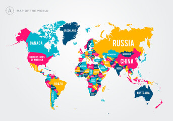 Vector Illustration Colorful Map Of The World With Country Namesfavorite_border favorite
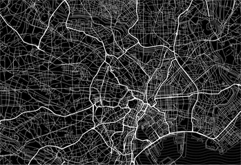 Dark area map of Tokyo, Japanfavorite_border favorite
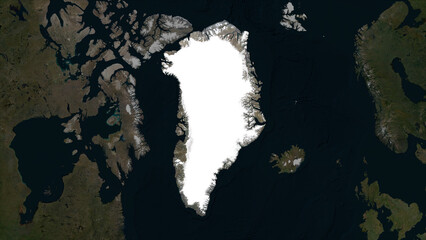 Greenland highlighted. Low-res satellite mapfavorite_border favorite
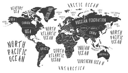 Earth map with the name of the countriesfavorite_border favorite
 Black and white noise reflection map displacement map motion graphic asset. Noise moving black and white height map for creating gold, and silver metallic textures. Smooth curvy map bg.favorite_border favorite
 Latin America map digital 4kfavorite_border favorite
 Map pointer iconfavorite_border favorite
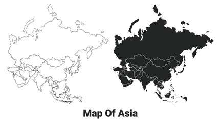 Vector Black map of asia country with borders of regionsfavorite_border favorite
 Urban vector city map of Torun, Polandfavorite_border favorite
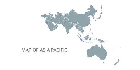 Detailed map of the Asia-Pacific region, highlighting countriesfavorite_border favorite
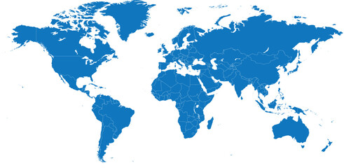 Blue color world map isolated on white background.favorite_border favorite
 United States of America map. USA map with states on a white background. Vector illustrationfavorite_border favorite
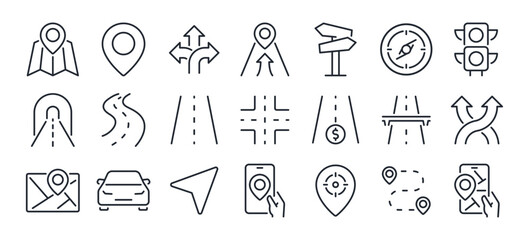 Navigation and roads related editable stroke outline icons set isolated on white background flat vector illustration. Pixel perfect. 64 x 64.favorite_border favorite
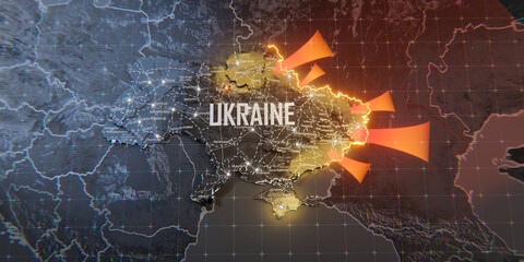 Military conflict between Ukraine and Russia. Concept map of war. cartography design. 3d renderfavorite_border favorite
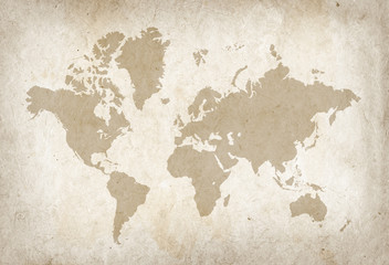 Vintage world map on old parchment paperfavorite_border favorite
 Detail world map with national borders, 3d renderfavorite_border favorite
 Modern tech World map 2Cool blue Abstrak technologi vector tech Stylized modern world map background Stylized wireframe and dots for data visualization and infographics HUD GUI UIfavorite_border favorite
 Hikers using map to navigate outdoorfavorite_border favorite
 Vintage map elements set with mountains, trees, ships and compass in engraving style, Transparent Backgroundfavorite_border favorite
 Portici City, Italy Map - Portici City Maps Gold Poster Wall Art Home Decor Ready to Printablefavorite_border favorite
 United States of America map. USA Map With Divided States. Outline US map.favorite_border favorite
 Monochrome city map with road network of Amsterdamfavorite_border favorite
 Karte von Polenfavorite_border favorite
 Road map and route isolated inforgraphic templatefavorite_border favorite
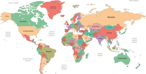 Political World Map with Country Namefavorite_border favorite
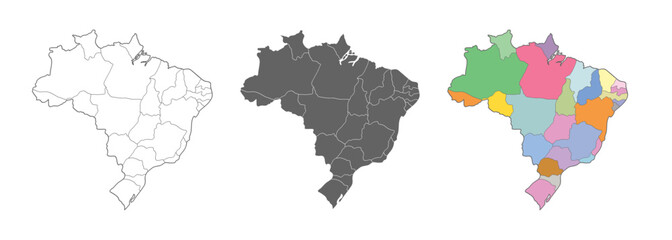 Brazil map vector set. Outline, silhouette, and political regions illustration.favorite_border favorite
 abstract geometric topographic mountain map with editable strokes in chart in black background templatefavorite_border favorite
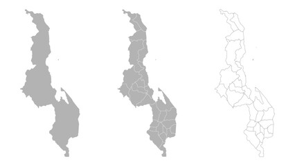 Set of MALAWI Maps with Main Map and Regional mapsfavorite_border favorite
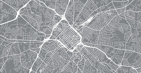 Urban vector city map of Charlotte, North Carolina, United States of Americafavorite_border favorite
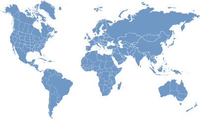 World map. Continents with the contours of the countries. Vector drawingfavorite_border favorite
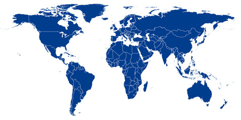 World Map vector. Blue similar world map blank vector on white background. Blue similar world map with borders of all countries. High quality world map. Stock vector. Vector illustration EPS 10.favorite_border favorite
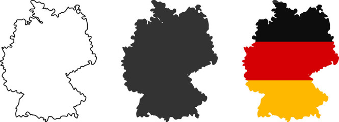 Outline silhouette and flag of germany map collectionfavorite_border favorite
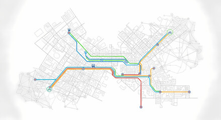 Abstract transit map with colorful lines indicating routes and stationsfavorite_border favorite
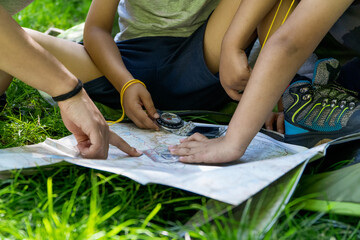 kids and woman checking map with compass sitting on the green grass at a camping tent entrancefavorite_border favorite
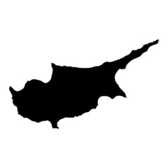 Black map country of Cyprusfavorite_border favorite
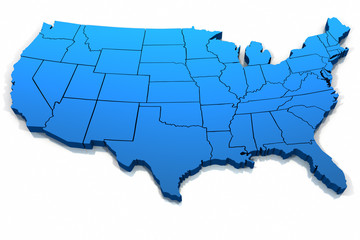 United States blue map outlinefavorite_border favorite
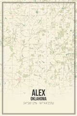 Retro US city map of Alex, Oklahoma. Vintage street map.favorite_border favorite
 United Kingdom silhouette map and two patterns of dots and slanted lines. Flat vector illustration isolated on whitefavorite_border favorite
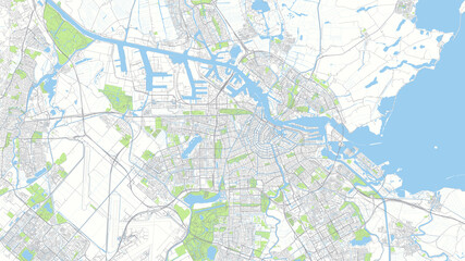 Сity map Amsterdam, color detailed urban road plan, vector illustrationfavorite_border favorite
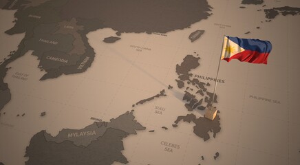 Flag on the map of philippines. Vintage Map and Flag of South Asia Countries Series 3D Renderingfavorite_border favorite
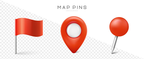 Pin set with shadow. Map marks for gps point. Vector 3d red plastic pushpins or board tacks for paper notice isolated on transparent backgroundfavorite_border favorite
 Navigation mapping technology, distance and turns of the path. Vectorfavorite_border favorite
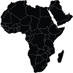 Africa and Middle East Solid Map Silhouette with Political Linesfavorite_border favorite
 Seamless plastic normal mapfavorite_border favorite
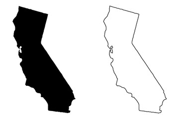 California map vector illustration, scribble sketch California mapfavorite_border favorite
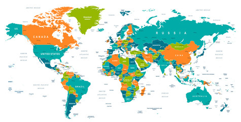 World Map - illustrationfavorite_border favorite
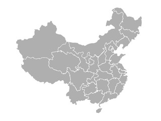 map of chinafavorite_border favorite
 map locator iconfavorite_border favorite
 Colombia map on white background vectorfavorite_border favorite
 USA map with states isolated on a white background. Vector illustration of the map of the United States of America, AI-Generated Vectorfavorite_border favorite
 World map on white background. Ultra detailed political map with country names. Vector Illustration.favorite_border favorite
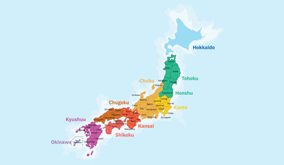 A vibrant and clear political map of Japan, highlighting its main islands and regions with distinct colors. The map labels the major regions including Hokkaido, Tohoku, Kanto, Chubu, Kansai, Chugoku,favorite_border favorite
 Ontario outline mapfavorite_border favorite
 Flying airplanes world map abstract vector background - flying white airplanes routes on blue background - Air travel concept - line art illustrationfavorite_border favorite
 USA map states. Vector line design. High detailed USA map. Labeled with postal abbreviatations. Stock vector.favorite_border favorite
 Vector map of Lodz. Street map art poster illustration.favorite_border favorite
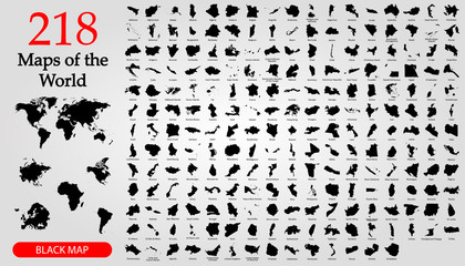 All 218 Complete Countries Map of the World Perfect Icons . Every single country map are listed and isolated with names. A complete maps of the world.favorite_border favorite
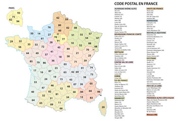 france 2 digit postcodes postal codes vector mapfavorite_border favorite
 Detailed World Map in colors of blue and map pointersfavorite_border favorite
 Mapa Europy - konturyfavorite_border favorite
 World map with countries grey and detailed. Flat Earth. Globe world map icon. Travel worldwide.favorite_border favorite
 Location EV charging station location mark on gps navigation map a lot with fast supercharger station. Path turns and destination tag or mark. Huge city top view Tracking path, route. vector isometricfavorite_border favorite
 Colorful vector map of EU, European Union, member statesfavorite_border favorite
 Urban city map of Miami, Floridafavorite_border favorite
 USA map big data visualization. Futuristic map infographic. Information aesthetics. Visual data complexity. Complex USA data graphic visualization. Abstract data on map graph.favorite_border favorite
 Old vintage map, blankfavorite_border favorite
 World map vector with country borders shaded monochrome continents global data visualization backgroundfavorite_border favorite
 North Rhine-Westphalia state map silhouette and outline vector illustration on transparent backgroundfavorite_border favorite
 High-tech digital topographic map with glowing data points, GPS markers, and geospatial analytics. Technology big data and geospatial concepts. Future abstract background 3d Renderingfavorite_border favorite
 Vector illustration with map of Canary Islands, Gran Canaria, Spainfavorite_border favorite
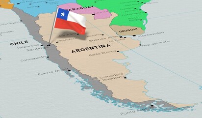 Chile, Santiago - national flag pinned on political map - 3D illustrationfavorite_border favorite
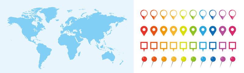 世界地図 ビジネス マップ ピンとマーカーのセットfavorite_border favorite
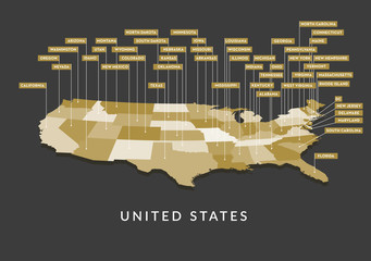 3D USA State mapfavorite_border favorite
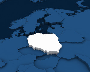 poland map 3D illustrationfavorite_border favorite
 Locator flag on a city mapfavorite_border favorite
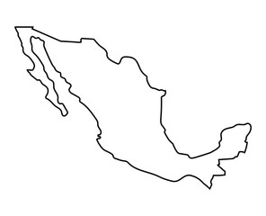 black outline of Mexico mapfavorite_border favorite
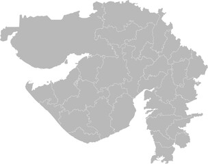 Gujarat, India – administrative vector map with district boundaries (Web Mercator projection, PPT-compatible & fully editable)favorite_border favorite
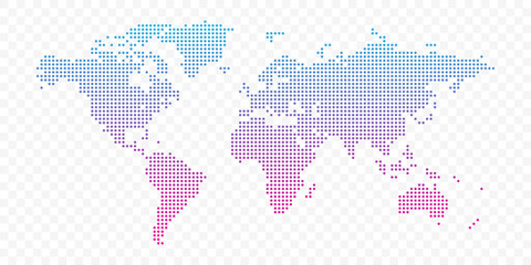 Vector world map infographic symbol. Blue pink circle gradient icon on transparent background. International global illustration sign. Design element for business, web, presentation, data reportfavorite_border favorite
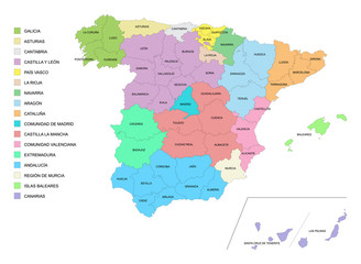 Carte d'Espagne avec détail des provinces et des communautésfavorite_border favorite
 Ornate compass design on an aged map backgroundfavorite_border favorite
 Geographical Map Highlighting astrakhan oblast Region in Russiafavorite_border favorite
 Watercolor map of USA, United States Of Americafavorite_border favorite
 Hiking young woman traveler with backpack checks map to find directions in wilderness area, real explorer. Travel Conceptfavorite_border favorite
 Map of Rhode Island state and position in the United Statesfavorite_border favorite
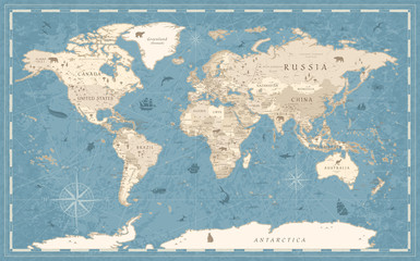 World Map Vintage Old-Style - vector - blue and beigefavorite_border favorite
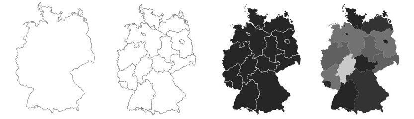 Germany map – vector illustration of political and geographical bordersfavorite_border favorite
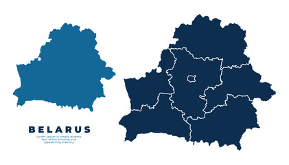 Belarus political map and simple flat vector illustrationfavorite_border favorite
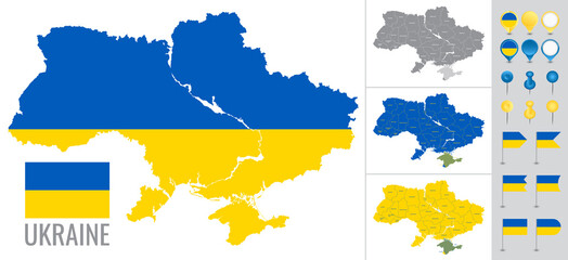 Ukraine vector map with flag, globe and icons on white backgroundfavorite_border favorite
 Dubai vector map. Detailed black map of Dubai city poster with streets. Cityscape urban vector.favorite_border favorite
 Zwei verliebte Fingerfavorite_border favorite
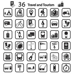 travel and tourism icon setfavorite_border favorite
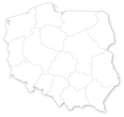 Simple map of Poland with voivodeships on white.favorite_border favorite
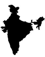 india map silhouette on transparent backgroundfavorite_border favorite
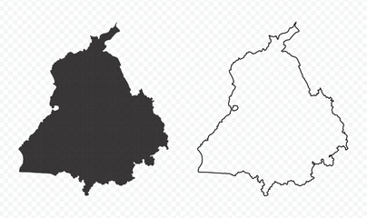 Punjab state map silhouette and outline vector illustration on transparent backgroundfavorite_border favorite
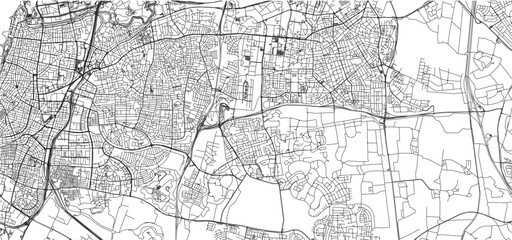 sketch design vector illustration silhouette base map of tel aviv cityfavorite_border favorite
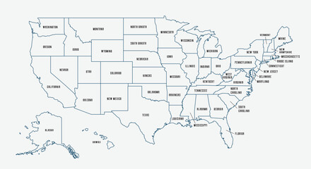 Map of the United States with state borders and names. USA map template. United States of America map isolated on white background. Vector illustrationfavorite_border favorite
 set of political maps of Greece with regions and flag map isolated on white backgroundfavorite_border favorite
 Find your way. Location marking with a blue pin on a old map with wind rose. Adventure, discovery, navigation, communication, logistics, geography, transport and travel theme concept background.favorite_border favorite