-
Warsaw map. Detailed map of Warsaw city poster with streets. Dark vector.
Do ulubionych favorite_border
Usuń z ulubionych favorite
-
Germany map icon. Germany country icons collection. German map isolated signs. Vector elements
Do ulubionych favorite_border
Usuń z ulubionych favorite
-
Do ulubionych favorite_border
Usuń z ulubionych favorite
-
Vector map with pin pointer
Do ulubionych favorite_border
Usuń z ulubionych favorite
-
Cute hand drawn map with mountains, tents, trees, hills. 3d illustrated landscape, adventure - great for banners, wallpapers, cards.
Do ulubionych favorite_border
Usuń z ulubionych favorite
-
Travel concept on wooden background
Do ulubionych favorite_border
Usuń z ulubionych favorite
-
set of 4 political maps of Spain with regions isolated on white background
Do ulubionych favorite_border
Usuń z ulubionych favorite
-
Simple outline of world map on transparent background, vector 10 eps.
Do ulubionych favorite_border
Usuń z ulubionych favorite
-
An elegant invitation card
Do ulubionych favorite_border
Usuń z ulubionych favorite
-
Brazil map of provinces, political maps of brazil south america - Vector File
Do ulubionych favorite_border
Usuń z ulubionych favorite
-
World map divided into six continents. Each continent in different color. Simple flat vector illustration
Do ulubionych favorite_border
Usuń z ulubionych favorite
-
Global network connection. World map point and line composition concept of global business. Vector Illustration
Do ulubionych favorite_border
Usuń z ulubionych favorite
-
Abstract topographic map background. Topo backdrop lines, contour, geographic grid
Do ulubionych favorite_border
Usuń z ulubionych favorite
-
Vector set of Spain country. Isometric 3d map, Spain map, Europe map - with region, state names and city names.
Do ulubionych favorite_border
Usuń z ulubionych favorite
-
Polygonal world map vector simplified to triangular lines with stars on blue background.
Do ulubionych favorite_border
Usuń z ulubionych favorite
-
Set of map pointers vector icon
Do ulubionych favorite_border
Usuń z ulubionych favorite
-
六州で色分けされた世界地図、ロシアをアジア州として別色で表示、英語
Do ulubionych favorite_border
Usuń z ulubionych favorite
-
A generic city map with an icon
Do ulubionych favorite_border
Usuń z ulubionych favorite
-
Old hand drawn vintage world map
Do ulubionych favorite_border
Usuń z ulubionych favorite
-
World map modern color,isolated on white background for website layouts,background,education, precise,customizable,Travel worldwide,map silhouette backdrop,earth geography, political,reports.
Do ulubionych favorite_border
Usuń z ulubionych favorite
-
Blue world map illustration on a transparent background
Do ulubionych favorite_border
Usuń z ulubionych favorite
-
The world, gray political map with international country borders, continents, main oceans, and largest lakes, in a cylindrical projection. English labeling. Isolated illustration over white. Vector
Do ulubionych favorite_border
Usuń z ulubionych favorite
-
Black and white topographic map with contour lines and elevation marks. Stylish fantasy topo map for navigation with terrain contour and elevation signs.
Do ulubionych favorite_border
Usuń z ulubionych favorite
-
Simple (only sharp corners) map of Czechia (Czech Republic) vector drawing. Mercator projection. Filled and outline version.
Do ulubionych favorite_border
Usuń z ulubionych favorite
-
Mazowieckie voivodship map
Do ulubionych favorite_border
Usuń z ulubionych favorite
-
Do ulubionych favorite_border
Usuń z ulubionych favorite
-
set of 3 maps of Italy - vector illustrations
Do ulubionych favorite_border
Usuń z ulubionych favorite
-
World Map. Highly detailed map of the world with detailed borders of all countries in blue colors. Vector illustration
Do ulubionych favorite_border
Usuń z ulubionych favorite
-
Colorful Vector world map
Do ulubionych favorite_border
Usuń z ulubionych favorite
-
Krakow mapa Cracow Poland vector map Old town plan
Do ulubionych favorite_border
Usuń z ulubionych favorite
-
Do ulubionych favorite_border
Usuń z ulubionych favorite
-
High Detailed Vector Political World Map Miller Cylindrical Projection Map Illustration
Do ulubionych favorite_border
Usuń z ulubionych favorite
-
Do ulubionych favorite_border
Usuń z ulubionych favorite
-
Do ulubionych favorite_border
Usuń z ulubionych favorite
-
Do ulubionych favorite_border
Usuń z ulubionych favorite
-
Old collection compass, telescope and collecting rare items on antique world map. (vintage style)
Do ulubionych favorite_border
Usuń z ulubionych favorite
-
Vector black map icon set. Map Icon Object, Map Icon Picture, Map Icon Image - stock vector
Do ulubionych favorite_border
Usuń z ulubionych favorite
-
Illustrative map of a big fictional city. Abstract high resolution full frame urban city map background.
Do ulubionych favorite_border
Usuń z ulubionych favorite
-
japan vector map in solid style
Do ulubionych favorite_border
Usuń z ulubionych favorite
-
USA map. American map. United States of America map in flat and lines design
Do ulubionych favorite_border
Usuń z ulubionych favorite
-
Planet Earth from Space EU Europe Countries highlighted, elements of this image courtesy of NASA
Do ulubionych favorite_border
Usuń z ulubionych favorite
-
Canary Islands map country vector illustration
Do ulubionych favorite_border
Usuń z ulubionych favorite
-
City map navigation interface. GPS navigator vector screen, street roads and location background. City map screen interface with road destination pin, compass and traffic route direction arrows
Do ulubionych favorite_border
Usuń z ulubionych favorite
-
Vector Linear World Map, editable stroke. vector illustration isolated on white background.
Do ulubionych favorite_border
Usuń z ulubionych favorite
-
world map on grunge background
Do ulubionych favorite_border
Usuń z ulubionych favorite
-
Flat icon set of location and map pins
Do ulubionych favorite_border
Usuń z ulubionych favorite
-
political map of Mexico isolated on white background
Do ulubionych favorite_border
Usuń z ulubionych favorite
-
Poland Detail Administrative Map and roads
Do ulubionych favorite_border
Usuń z ulubionych favorite
-
Mexico 3d map with borders Template for your design
Do ulubionych favorite_border
Usuń z ulubionych favorite
-
Vector map of Africa Continent
Do ulubionych favorite_border
Usuń z ulubionych favorite
-
Area map of Poznań, Poland
Do ulubionych favorite_border
Usuń z ulubionych favorite
-
Folded paper city map with red pin pointer
Do ulubionych favorite_border
Usuń z ulubionych favorite
-
Vector map of Spain. High detailed country map with division, cities and capital Madrid. Political map, world map, infographic elements.
Do ulubionych favorite_border
Usuń z ulubionych favorite
-
World Map Vector. Detailed illustration of worldmap
Do ulubionych favorite_border
Usuń z ulubionych favorite
-
White wave paper curved reliefs abstract background, Abstract topographic contours map background, Topography map background. Vector geographic contour map.
Do ulubionych favorite_border
Usuń z ulubionych favorite
-
Cute hand drawn map with mountains, tents, trees, hills. 3d illustrated landscape, adventure - great for banners, wallpapers, cards.
Do ulubionych favorite_border
Usuń z ulubionych favorite
-
vector illustration of gray colored world map
Do ulubionych favorite_border
Usuń z ulubionych favorite
-
Spain map vector illustration on white background. Map have all province and mark the capital city of Spain.
Do ulubionych favorite_border
Usuń z ulubionych favorite
-
Illustration of a pirate map concept
Do ulubionych favorite_border
Usuń z ulubionych favorite
-
Vector black map of New york
Do ulubionych favorite_border
Usuń z ulubionych favorite
-
Global Logistics and Transportation Network Infographic.
Do ulubionych favorite_border
Usuń z ulubionych favorite
-
Isolated Unrolled Old Grungy Paper Scroll
Do ulubionych favorite_border
Usuń z ulubionych favorite
-
Latin America vector map in white background.Latin America political map. Low detailed. Solid simple style.Latin America map silhouette linear and black illustration. Black and white. Vector editable
Do ulubionych favorite_border
Usuń z ulubionych favorite
-
Home map pin locator vector icon. Solid black and white minimal navigation markers for real estate location, house address placement, tracking, and property search.
Do ulubionych favorite_border
Usuń z ulubionych favorite
-
Colorful detailed vector map of the north American country.
Do ulubionych favorite_border
Usuń z ulubionych favorite
-
Connected European map concept – European Union, trade, digitalization, future
Do ulubionych favorite_border
Usuń z ulubionych favorite
-
Do ulubionych favorite_border
Usuń z ulubionych favorite
-
Black Silhouette Iraq Map Asian Country
Do ulubionych favorite_border
Usuń z ulubionych favorite
-
Do ulubionych favorite_border
Usuń z ulubionych favorite
-
Mapa Polski z województwami na białym tle. Zarys mapy Polski. Ilustracja wektorowa
Do ulubionych favorite_border
Usuń z ulubionych favorite
-
Clean World Map Outline with Borders
Do ulubionych favorite_border
Usuń z ulubionych favorite
-
Do ulubionych favorite_border
Usuń z ulubionych favorite
-
Do ulubionych favorite_border
Usuń z ulubionych favorite
-
Washington (DC, USA) street map. The style of the map is blue lights
Do ulubionych favorite_border
Usuń z ulubionych favorite
-
Europe dotted digital map for data visualization design
Do ulubionych favorite_border
Usuń z ulubionych favorite
-
World map dotted vector illustration
Do ulubionych favorite_border
Usuń z ulubionych favorite
-
world map silhouette design vector art illustration isolated on transparent background.
Do ulubionych favorite_border
Usuń z ulubionych favorite
-
Do ulubionych favorite_border
Usuń z ulubionych favorite
-
A generic city map with a pin
Do ulubionych favorite_border
Usuń z ulubionych favorite
-
Urban grid map — Paris, France
Do ulubionych favorite_border
Usuń z ulubionych favorite
-
Vector illustration of the map of the state of Rio de Janeiro.
Do ulubionych favorite_border
Usuń z ulubionych favorite
-
Vatican Flag in Map Shape
Do ulubionych favorite_border
Usuń z ulubionych favorite
-
Navigation line icons set. Road trip path, trail, home marker, journey, compass, globe, country, geography, tourism visualization vector illustration. Outline signs of location. Editable Stroke
Do ulubionych favorite_border
Usuń z ulubionych favorite
-
Location pin icon illustration minimal map marker vector used for navigation apps geotag pointer for place position marking and clean destination symbol design
Do ulubionych favorite_border
Usuń z ulubionych favorite
-
A detailed map of Europe-Africa. Europe-Africa map vector with country and capital name.
Do ulubionych favorite_border
Usuń z ulubionych favorite
-
Ireland map in solid, dot grid, and scattered dots styles for geographic designs vector illustration
Do ulubionych favorite_border
Usuń z ulubionych favorite
-
Three australia map illustrations in black and white
Do ulubionych favorite_border
Usuń z ulubionych favorite
-
Vector Light World Map With Infographic Pointer Marks, Communication Concept Chart
Do ulubionych favorite_border
Usuń z ulubionych favorite
-
Do ulubionych favorite_border
Usuń z ulubionych favorite
-
Simplified schematic map of World. Political map of countries with generalized borders. Simple flat vector illustration
Do ulubionych favorite_border
Usuń z ulubionych favorite
-
Vector world map with rounds, spots, dots for business templates
Do ulubionych favorite_border
Usuń z ulubionych favorite
-
Vintage old map empty background. Blank treasure map on old paper texture backdrop
Do ulubionych favorite_border
Usuń z ulubionych favorite
-
Construction engineers review site plans and maps while wearing high-visibility safety vests. Close-up of colleagues discussing project layouts and documents on a construction site.
Do ulubionych favorite_border
Usuń z ulubionych favorite
-
world map political boundaries
Do ulubionych favorite_border
Usuń z ulubionych favorite
-
World map with highlighted continents and countries in grayscale
Do ulubionych favorite_border
Usuń z ulubionych favorite
-
マップ・地図で使えるマップピン・押しピンアイコンイラスト影付き
Do ulubionych favorite_border
Usuń z ulubionych favorite
-
Area map of Gdańsk, Poland
Do ulubionych favorite_border
Usuń z ulubionych favorite
-
City map with some location tags
Do ulubionych favorite_border
Usuń z ulubionych favorite
-
Modern Infographic Template
Do ulubionych favorite_border
Usuń z ulubionych favorite
-
Do ulubionych favorite_border
Usuń z ulubionych favorite
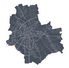 Warsaw map. Detailed map of Warsaw city poster with streets. Dark vector.favorite_border favorite
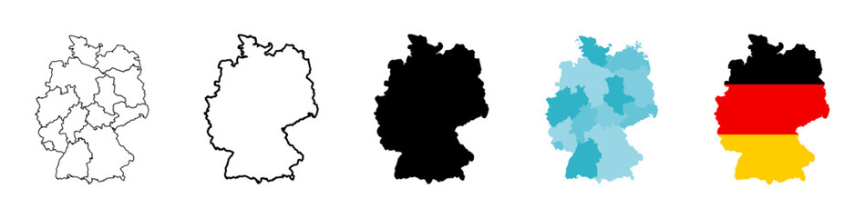 Germany map icon. Germany country icons collection. German map isolated signs. Vector elementsfavorite_border favorite
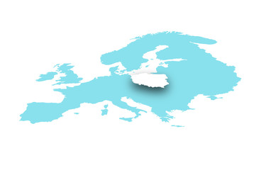 Polska na mapie europyfavorite_border favorite
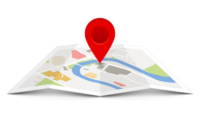 Vector map with pin pointerfavorite_border favorite
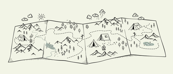 Cute hand drawn map with mountains, tents, trees, hills. 3d illustrated landscape, adventure - great for banners, wallpapers, cards.favorite_border favorite
 Travel concept on wooden backgroundfavorite_border favorite
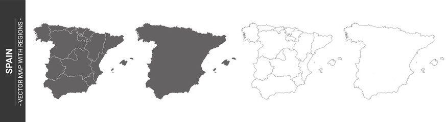 set of 4 political maps of Spain with regions isolated on white backgroundfavorite_border favorite
 Simple outline of world map on transparent background, vector 10 eps.favorite_border favorite
 An elegant invitation cardfavorite_border favorite
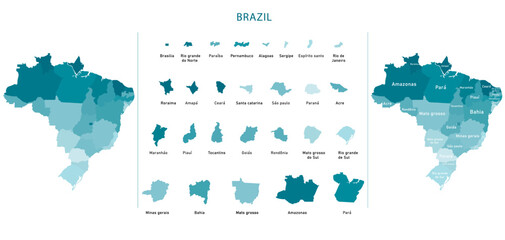 Brazil map of provinces, political maps of brazil south america - Vector Filefavorite_border favorite
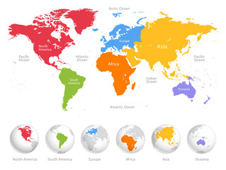 World map divided into six continents. Each continent in different color. Simple flat vector illustrationfavorite_border favorite
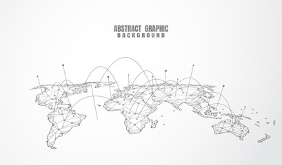 Global network connection. World map point and line composition concept of global business. Vector Illustrationfavorite_border favorite
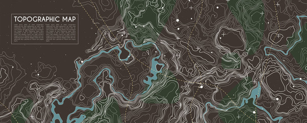 Abstract topographic map background. Topo backdrop lines, contour, geographic gridfavorite_border favorite
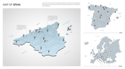 Vector set of Spain country. Isometric 3d map, Spain map, Europe map - with region, state names and city names.favorite_border favorite
 Polygonal world map vector simplified to triangular lines with stars on blue background.favorite_border favorite
 Set of map pointers vector iconfavorite_border favorite
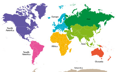 六州で色分けされた世界地図、ロシアをアジア州として別色で表示、英語favorite_border favorite
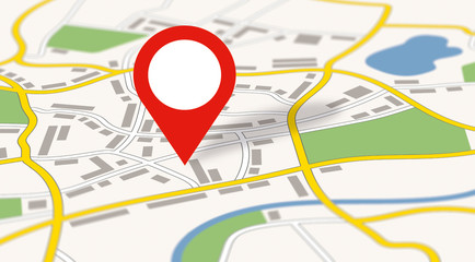 A generic city map with an iconfavorite_border favorite
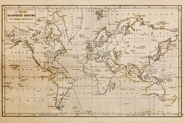 Old hand drawn vintage world mapfavorite_border favorite
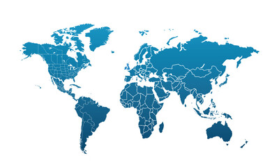 World map modern color,isolated on white background for website layouts,background,education, precise,customizable,Travel worldwide,map silhouette backdrop,earth geography, political,reports.favorite_border favorite
 Blue world map illustration on a transparent backgroundfavorite_border favorite
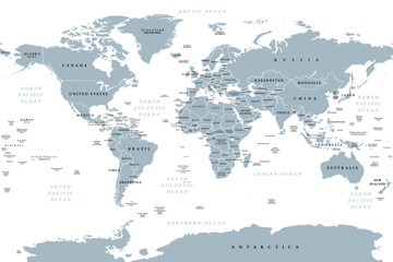 The world, gray political map with international country borders, continents, main oceans, and largest lakes, in a cylindrical projection. English labeling. Isolated illustration over white. Vectorfavorite_border favorite
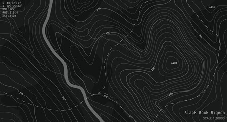 Black and white topographic map with contour lines and elevation marks. Stylish fantasy topo map for navigation with terrain contour and elevation signs.favorite_border favorite
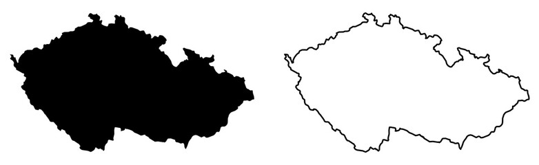 Simple (only sharp corners) map of Czechia (Czech Republic) vector drawing. Mercator projection. Filled and outline version.favorite_border favorite
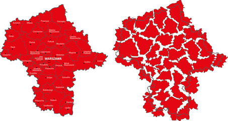 Mazowieckie voivodship mapfavorite_border favorite
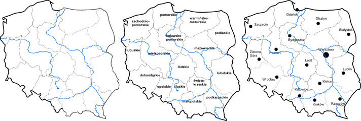 Polska mapafavorite_border favorite
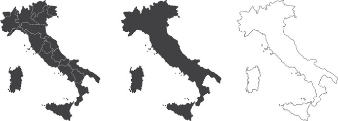 set of 3 maps of Italy - vector illustrationsfavorite_border favorite
 World Map. Highly detailed map of the world with detailed borders of all countries in blue colors. Vector illustrationfavorite_border favorite
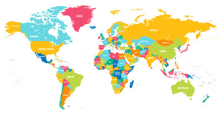 Colorful Vector world mapfavorite_border favorite
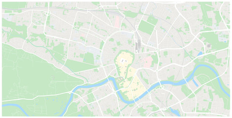 Krakow mapa Cracow Poland vector map Old town planfavorite_border favorite
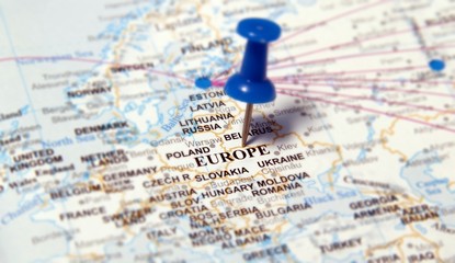 europefavorite_border favorite
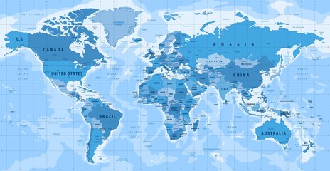 High Detailed Vector Political World Map Miller Cylindrical Projection Map Illustrationfavorite_border favorite
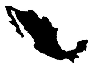 Mexico Map Silhouettefavorite_border favorite
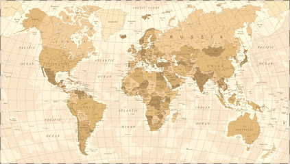 World Map Vintage Vectorfavorite_border favorite
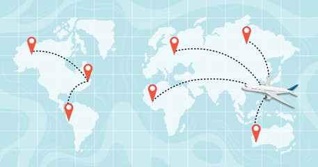 A world map destinationfavorite_border favorite
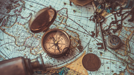 Old collection compass, telescope and collecting rare items on antique world map. (vintage style)favorite_border favorite
 Vector black map icon set. Map Icon Object, Map Icon Picture, Map Icon Image - stock vectorfavorite_border favorite
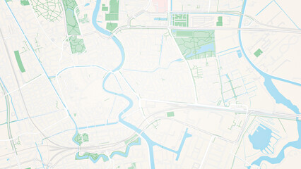 Illustrative map of a big fictional city. Abstract high resolution full frame urban city map background.favorite_border favorite
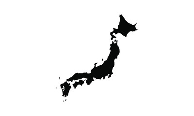 japan vector map in solid stylefavorite_border favorite
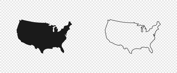 USA map. American map. United States of America map in flat and lines designfavorite_border favorite
 Planet Earth from Space EU Europe Countries highlighted, elements of this image courtesy of NASAfavorite_border favorite
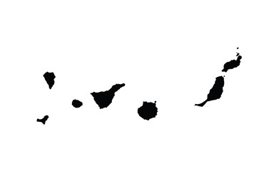 Canary Islands map country vector illustrationfavorite_border favorite
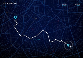 City map navigation interface. GPS navigator vector screen, street roads and location background. City map screen interface with road destination pin, compass and traffic route direction arrowsfavorite_border favorite
 Vector Linear World Map, editable stroke. vector illustration isolated on white background.favorite_border favorite
 world map on grunge backgroundfavorite_border favorite
 Flat icon set of location and map pinsfavorite_border favorite
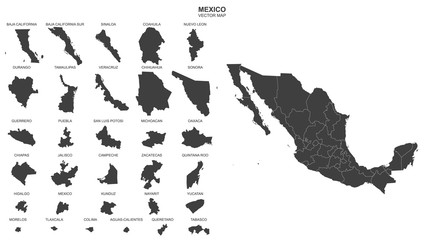 political map of Mexico isolated on white backgroundfavorite_border favorite
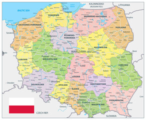 Poland Detail Administrative Map and roadsfavorite_border favorite
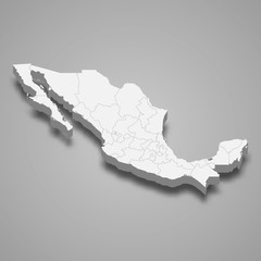 Mexico 3d map with borders Template for your designfavorite_border favorite
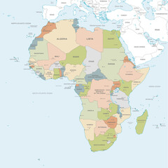 Vector map of Africa Continentfavorite_border favorite
 Area map of Poznań, Polandfavorite_border favorite
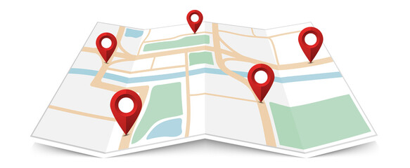 Folded paper city map with red pin pointerfavorite_border favorite
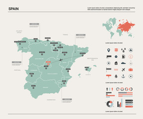 Vector map of Spain. High detailed country map with division, cities and capital Madrid. Political map, world map, infographic elements.favorite_border favorite
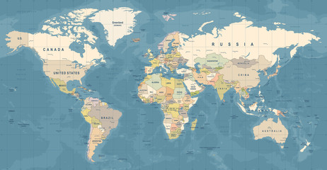 World Map Vector. Detailed illustration of worldmapfavorite_border favorite
 White wave paper curved reliefs abstract background, Abstract topographic contours map background, Topography map background. Vector geographic contour map.favorite_border favorite
 Cute hand drawn map with mountains, tents, trees, hills. 3d illustrated landscape, adventure - great for banners, wallpapers, cards.favorite_border favorite
 vector illustration of gray colored world mapfavorite_border favorite
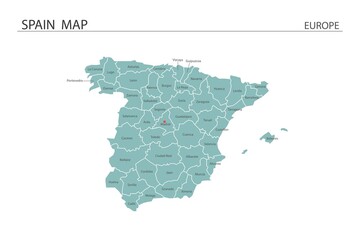 Spain map vector illustration on white background. Map have all province and mark the capital city of Spain.favorite_border favorite
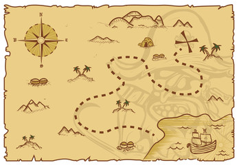 Illustration of a pirate map conceptfavorite_border favorite
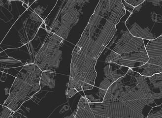 Vector black map of New yorkfavorite_border favorite
 Global Logistics and Transportation Network Infographic.favorite_border favorite
 Isolated Unrolled Old Grungy Paper Scrollfavorite_border favorite
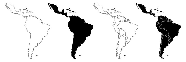 Latin America vector map in white background.Latin America political map. Low detailed. Solid simple style.Latin America map silhouette linear and black illustration. Black and white. Vector editablefavorite_border favorite
 Home map pin locator vector icon. Solid black and white minimal navigation markers for real estate location, house address placement, tracking, and property search.favorite_border favorite
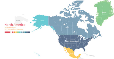 Colorful detailed vector map of the north American country.favorite_border favorite
 Connected European map concept – European Union, trade, digitalization, futurefavorite_border favorite
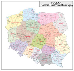 Polen Administrativfavorite_border favorite
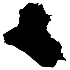 Black Silhouette Iraq Map Asian Countryfavorite_border favorite
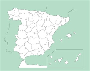 Mapa de España_4favorite_border favorite
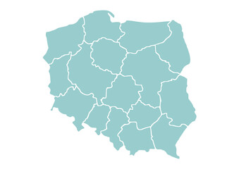 Mapa Polski z województwami na białym tle. Zarys mapy Polski. Ilustracja wektorowafavorite_border favorite
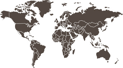 Clean World Map Outline with Bordersfavorite_border favorite
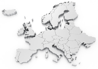 Euro mapfavorite_border favorite
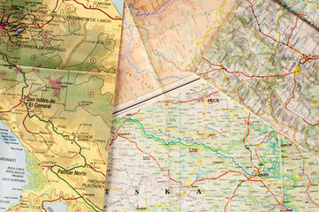 Geography backgroundfavorite_border favorite
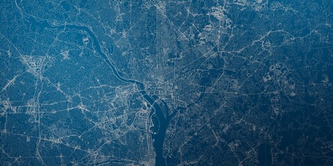 Washington (DC, USA) street map. The style of the map is blue lightsfavorite_border favorite
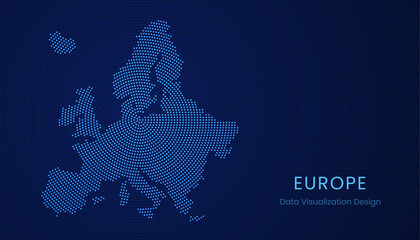 Europe dotted digital map for data visualization designfavorite_border favorite
 World map dotted vector illustrationfavorite_border favorite
 world map silhouette design vector art illustration isolated on transparent background.favorite_border favorite
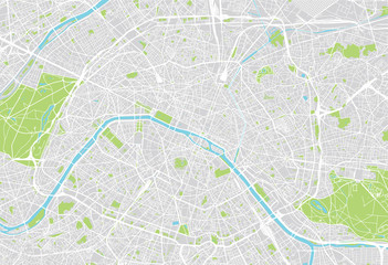 Paris city mapfavorite_border favorite
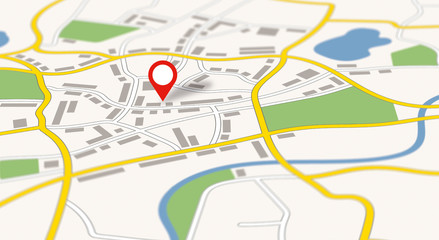 A generic city map with a pinfavorite_border favorite
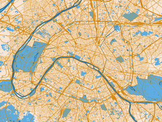 Urban grid map — Paris, Francefavorite_border favorite
 Vector illustration of the map of the state of Rio de Janeiro.favorite_border favorite
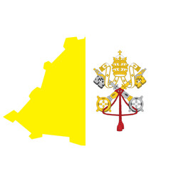 Vatican Flag in Map Shapefavorite_border favorite
 Navigation line icons set. Road trip path, trail, home marker, journey, compass, globe, country, geography, tourism visualization vector illustration. Outline signs of location. Editable Strokefavorite_border favorite
 Location pin icon illustration minimal map marker vector used for navigation apps geotag pointer for place position marking and clean destination symbol designfavorite_border favorite
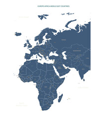 A detailed map of Europe-Africa. Europe-Africa map vector with country and capital name.favorite_border favorite
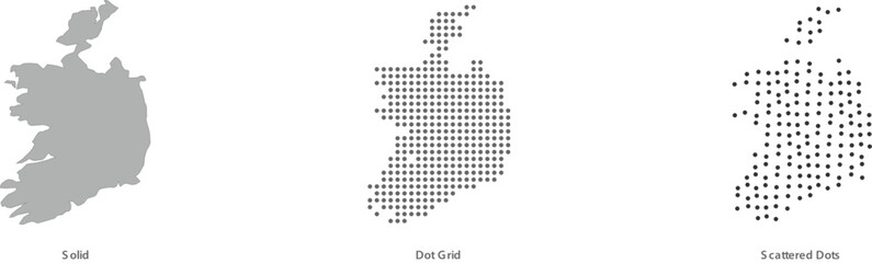 Ireland map in solid, dot grid, and scattered dots styles for geographic designs vector illustrationfavorite_border favorite
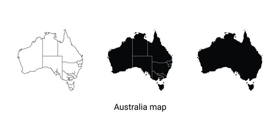 Three australia map illustrations in black and whitefavorite_border favorite
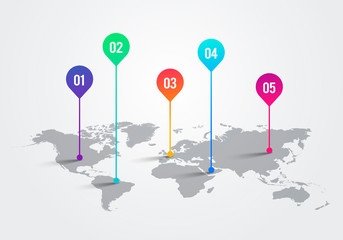 Vector Light World Map With Infographic Pointer Marks, Communication Concept Chartfavorite_border favorite
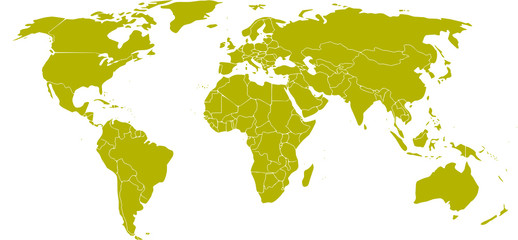 mapa mundifavorite_border favorite
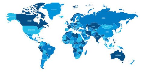 Simplified schematic map of World. Political map of countries with generalized borders. Simple flat vector illustrationfavorite_border favorite
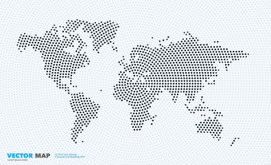 Vector world map with rounds, spots, dots for business templatesfavorite_border favorite
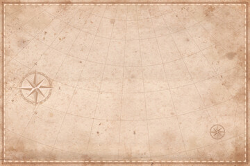 Vintage old map empty background. Blank treasure map on old paper texture backdropfavorite_border favorite
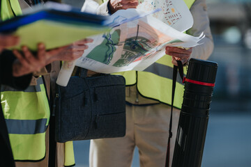 Construction engineers review site plans and maps while wearing high-visibility safety vests. Close-up of colleagues discussing project layouts and documents on a construction site.favorite_border favorite
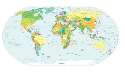 world map political boundariesfavorite_border favorite
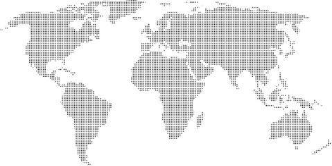 World map with highlighted continents and countries in grayscalefavorite_border favorite
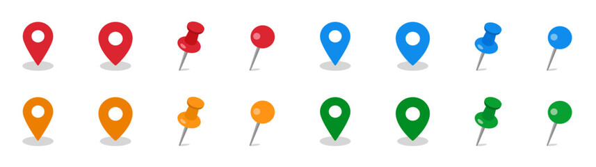 マップ・地図で使えるマップピン・押しピンアイコンイラスト影付きfavorite_border favorite
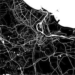 Area map of Gdańsk, Polandfavorite_border favorite
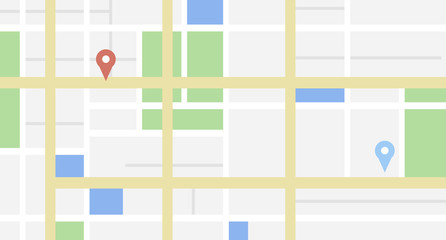 City map with some location tagsfavorite_border favorite
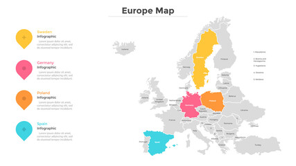 Modern Infographic Templatefavorite_border favorite
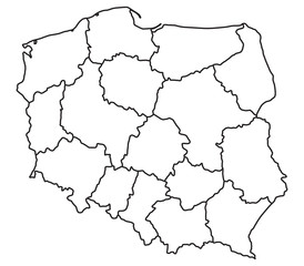 Map of Polandfavorite_border favorite