-
Blank old dirty paper background and texture
Do ulubionych favorite_border
Usuń z ulubionych favorite
-
Do ulubionych favorite_border
Usuń z ulubionych favorite
-
Do ulubionych favorite_border
Usuń z ulubionych favorite
-
Simple gray vector map with white borders of districts of Wroclaw, Poland
Do ulubionych favorite_border
Usuń z ulubionych favorite
-
Alabama County Map, Detailed Vector Illustration of USA Administrative Boundaries
Do ulubionych favorite_border
Usuń z ulubionych favorite
-
Location icon set with map, pin, navigation, distance, direction and address symbols in solid vector style.
Do ulubionych favorite_border
Usuń z ulubionych favorite
-
Three styles of united kingdom uk map outline graphics
Do ulubionych favorite_border
Usuń z ulubionych favorite
-
Krakow mapa Cracow Poland vector map Old town plan
Do ulubionych favorite_border
Usuń z ulubionych favorite
-
Old geographical map of the world of the 18 century. Collage. A good background for design on the theme of travel, geography, history, voyage, etc. Ancient map background.
Do ulubionych favorite_border
Usuń z ulubionych favorite
-
Switzerland map outline, silhouette and flag isolated on white background
Do ulubionych favorite_border
Usuń z ulubionych favorite
-
Dotted map of World. Small black dots on white background
Do ulubionych favorite_border
Usuń z ulubionych favorite
-
Woman holding a compass and reading a map while hiking
Do ulubionych favorite_border
Usuń z ulubionych favorite
-
poland map - High detailed blue map with counties/regions/states of poland. poland map isolated on transparent background.
Do ulubionych favorite_border
Usuń z ulubionych favorite
-
A Set of Email, Phone, Location, Web, at the rate of, message and contact icon set. simple black style symbol sign for apps and website, vector illustration.
Do ulubionych favorite_border
Usuń z ulubionych favorite
-
Abstract black blank silhouette of world map isolated on white background. Vector illustration
Do ulubionych favorite_border
Usuń z ulubionych favorite
-
India map dotted vector silhouette blue halftone circle pattern geography template with islands for infographic poster presentation
Do ulubionych favorite_border
Usuń z ulubionych favorite
-
World map vector states border geography continent global business travel flat graphic earth globe planet worldwide
Do ulubionych favorite_border
Usuń z ulubionych favorite
-
Do ulubionych favorite_border
Usuń z ulubionych favorite
-
Vector illustration. Topographic map concept. Set of minimal square banners with retro graphics, marks, and trails. Line art pattern design on textured paper. Design for web banner, social media
Do ulubionych favorite_border
Usuń z ulubionych favorite
-
World map with location pins and connection lines representing global logistics and tracking. Flat vector illustration of international shipping, supply chain, and global trade.
Do ulubionych favorite_border
Usuń z ulubionych favorite
-
Do ulubionych favorite_border
Usuń z ulubionych favorite
-
map of usa with state names and silhouette, united states of america geography outline, black administrative division borders of us territory on transparent background
Do ulubionych favorite_border
Usuń z ulubionych favorite
-
Location pin icon minimal map marker vector for navigation apps geotag pointer marking place and position symbol clean destination point sign pictogram design
Do ulubionych favorite_border
Usuń z ulubionych favorite
-
set collections Azerbaijan map infographic icon. High detailed stylized Azerbaijan map flag, border, 3D geometric, silhouette. Azerbaijan map pinned symbol design vector illustration
Do ulubionych favorite_border
Usuń z ulubionych favorite
-
Flat location icon set vector with GPS pin, map and navigation symbols for travel apps and geolocation.
Do ulubionych favorite_border
Usuń z ulubionych favorite
-
Customer journey, marketing and customer behavior analysis concept. Understanding the customer journey to improve their overall customer experience and increase loyalty. Marketing strategic planning.
Do ulubionych favorite_border
Usuń z ulubionych favorite
-
Map pointers icon set. Location pin collection. Map pointer GPS location. Pointer icon pin on the map to show the location. Vector illustration
Do ulubionych favorite_border
Usuń z ulubionych favorite
-
USA map dotted halftone vector illustration blue white monochrome isolated background infographic graphic design template
Do ulubionych favorite_border
Usuń z ulubionych favorite
-
Do ulubionych favorite_border
Usuń z ulubionych favorite
-
City map illustration pale gray and green color scheme overhead perspective
Do ulubionych favorite_border
Usuń z ulubionych favorite
-
Red Location Pin Drop Flat 2D Vector Icon
Do ulubionych favorite_border
Usuń z ulubionych favorite
-
High detailed world map with country borders isolated on white background gray global cartography vector for infographics business presentation and educational geography projects.
Do ulubionych favorite_border
Usuń z ulubionych favorite
-
Cracow city map with roads and streets, Poland. Vector outline illustration.
Do ulubionych favorite_border
Usuń z ulubionych favorite
-
Poland country border map outline and silhouette vector graphic isolated image decal
Do ulubionych favorite_border
Usuń z ulubionych favorite
-
Australia map icon simple illustration set. Black and white icons
Do ulubionych favorite_border
Usuń z ulubionych favorite
-
Blue World Map Silhouette Editable Vector.
Do ulubionych favorite_border
Usuń z ulubionych favorite
-
Generic city transit map with colorful subway and metro lines
Do ulubionych favorite_border
Usuń z ulubionych favorite
-
Location, map, and pin icon collection. GPS, place, markers, pinpoing, position, and navigation icons set. Vector illustration transparent background
Do ulubionych favorite_border
Usuń z ulubionych favorite
-
Boise united states city map minimalist poster design
Do ulubionych favorite_border
Usuń z ulubionych favorite
-
location pin map sign, location mark icon pack, 50 set
Do ulubionych favorite_border
Usuń z ulubionych favorite
-
Do ulubionych favorite_border
Usuń z ulubionych favorite
-
World map isolated on white background. for website layouts, background, education, precise, customizable, Travel worldwide, map silhouette backdrop, earth geography, political, reports.
Do ulubionych favorite_border
Usuń z ulubionych favorite
-
Flat icon set of location and map pins
Do ulubionych favorite_border
Usuń z ulubionych favorite
-
Minimalist 3D city map with GPS navigation route and destination pins. Abstract urban landscape blue tones, showing a planned travel path across river. Travel concepts. Vector illustration
Do ulubionych favorite_border
Usuń z ulubionych favorite
-
Brazil country vector map in white background.Brazil political map. Low detailed. Solid simple style. Black and white. Vector editable.
Do ulubionych favorite_border
Usuń z ulubionych favorite
-
Europe political map sketch for coloring
Do ulubionych favorite_border
Usuń z ulubionych favorite
-
Modern minimalist vector map of Los Angeles, California, USA. High-quality scalable illustration of Los Angeles city grid, LA freeway network, Santa Monica bayfront for posters and design.
Do ulubionych favorite_border
Usuń z ulubionych favorite
-
Countries of the world, multi colored political map, with international borders, main oceans, largest lakes and seas. Cylindrical projection. English labeling. Isolated illustration over white. Vector
Do ulubionych favorite_border
Usuń z ulubionych favorite
-
Australia and New Zealand Map vector with all States and territories in blue. Similar map blank of Australia and New Zealand on white background. High quality map. EPS10.
Do ulubionych favorite_border
Usuń z ulubionych favorite
-
Krakow map vector poster flyer
Do ulubionych favorite_border
Usuń z ulubionych favorite
-
Collection of various communication and navigation icons on white background. Set of Email, Phone, Location, Time, Clock, Date, Calendar icons, vector illustration
Do ulubionych favorite_border
Usuń z ulubionych favorite
-
Contour mountain landscape. Waved line art. Abstract minimal topographic map. Contour lines with elevations and terrain depth. Vector illustration.
Do ulubionych favorite_border
Usuń z ulubionych favorite
-
Abstract colorful transit map background
Do ulubionych favorite_border
Usuń z ulubionych favorite
-
Abstract geometric stripe line discovery topography curve grid map and topo contour map on white background. Seamless pattern with lines Topographic map design.
Do ulubionych favorite_border
Usuń z ulubionych favorite
-
Red location pin icon with white center isolated on transparent background
Do ulubionych favorite_border
Usuń z ulubionych favorite
-
Set and collection of vintage folded paper topographic maps for travel and navigation mockup isolated on white transparent PNG background
Do ulubionych favorite_border
Usuń z ulubionych favorite
-
USA map maze puzzle activity with answer key, printable worksheet handout. Medium-hard difficulty, ages 10+
Do ulubionych favorite_border
Usuń z ulubionych favorite
-
Set of Location pin icons. Modern map markers. Location mark icons. Map Marker Illustration. Destination Symbol. Pointer Logo. Vector illustration
Do ulubionych favorite_border
Usuń z ulubionych favorite
-
USA map infographic. Slide presentation. United States of America. Global business marketing concept. Color country. World transportation data. Economic statistic template.
Do ulubionych favorite_border
Usuń z ulubionych favorite
-
Stylized simple outline map of Spain icon. Blue sketch map of Spain vector illustration
Do ulubionych favorite_border
Usuń z ulubionych favorite
-
Magnetic old compass on world map.Travel, geography, navigation, tourism and exploration concept background. Macro photo. Very shallow focus.
Do ulubionych favorite_border
Usuń z ulubionych favorite
-
Poland provinces(known as voivodeships) vector map with administrative divisions. Polish names gives in parentheses, where they differ from the English ones.
Do ulubionych favorite_border
Usuń z ulubionych favorite
-
Simple (only sharp corners) map of Austria vector drawing. Mercator projection. Filled and outline version.
Do ulubionych favorite_border
Usuń z ulubionych favorite
-
Abstract USA or United States of America Map with dot Pixel Spot Modern Concept Design Isolated on White background Vector illustration.
Do ulubionych favorite_border
Usuń z ulubionych favorite
-
Military-style topographic map with contour lines, elevation data, and coordinates. Ideal for war strategy visuals, navigation design, and tactical planning interfaces. Battlefield top view green UI.
Do ulubionych favorite_border
Usuń z ulubionych favorite
-
Turkey country map flat background vector template
Do ulubionych favorite_border
Usuń z ulubionych favorite
-
Do ulubionych favorite_border
Usuń z ulubionych favorite
-
Travel the world monument concept
Do ulubionych favorite_border
Usuń z ulubionych favorite
-
Geolocation set and GPS location or direction guide tiny person collection. Items with map navigation system, destination route calculation with road traffic vector illustration. Cartography elements.
Do ulubionych favorite_border
Usuń z ulubionych favorite
-
Set of Globe Illustration Vector of 5 Continents : Europe America Australia Asia Africa. World map vector illustration black silhouette bundle
Do ulubionych favorite_border
Usuń z ulubionych favorite
-
A world map background made of circles or dot shapes
Do ulubionych favorite_border
Usuń z ulubionych favorite
-
World map vector illustration. Landmarks, sight and animals hand draw icon. World vector poster for children, cute illustrated. Travel concept card
Do ulubionych favorite_border
Usuń z ulubionych favorite
-
Do ulubionych favorite_border
Usuń z ulubionych favorite
-
Denmark map vector. High detailed vector outline, blue silhouette and administrative divisions map of Denmark. All isolated on white background. Template for website, design, cover, infographics
Do ulubionych favorite_border
Usuń z ulubionych favorite
-
hand drawn south America map isolated on white background
Do ulubionych favorite_border
Usuń z ulubionych favorite
-
Dotted style map of USA and white background
Do ulubionych favorite_border
Usuń z ulubionych favorite
-
Greece black map on white background vector
Do ulubionych favorite_border
Usuń z ulubionych favorite
-
Do ulubionych favorite_border
Usuń z ulubionych favorite
-
3d Brazil white map with regions isolated
Do ulubionych favorite_border
Usuń z ulubionych favorite
-
World globe line icon. Vector Earth global country map planet line icon. Travel internet globe set
Do ulubionych favorite_border
Usuń z ulubionych favorite
-
USA map 3d cinematographic
Do ulubionych favorite_border
Usuń z ulubionych favorite
-
Urban vector city map of Szczecin, Poland
Do ulubionych favorite_border
Usuń z ulubionych favorite
-
Dotted world map with digital grid pattern representing global network data
Do ulubionych favorite_border
Usuń z ulubionych favorite
-
United States of America, gray political map. Fifty single states with their own geographic territories and borders, bound together in a union and federal government. Labeled with USPS abbreviations.
Do ulubionych favorite_border
Usuń z ulubionych favorite
-
Ancient pirate map of the Caribbean Sea with ships, islands and fantasy creatures. Pirate adventures, treasure hunt and old transportation concept. Hand drawn vector illustration, vintage background
Do ulubionych favorite_border
Usuń z ulubionych favorite
-
Corsica map vector illustration, scribble sketch Corsica
Do ulubionych favorite_border
Usuń z ulubionych favorite
-
Do ulubionych favorite_border
Usuń z ulubionych favorite
-
Blue city area, background map, streets. Skyline urban panorama. Cartography illustration. Widescreen proportion, digital flat design streetmap. Vector City top view. View from above the map
Do ulubionych favorite_border
Usuń z ulubionych favorite
-
Modern Infographic Template
Do ulubionych favorite_border
Usuń z ulubionych favorite
-
European Union political map. EU flag. Europe map isolated on a white background. Vector illustration
Do ulubionych favorite_border
Usuń z ulubionych favorite
-
set of colorful flags, round pins and map pointers
Do ulubionych favorite_border
Usuń z ulubionych favorite
-
Simple (only sharp corners) map of China vector drawing. Filled and outline version
Do ulubionych favorite_border
Usuń z ulubionych favorite
-
Do ulubionych favorite_border
Usuń z ulubionych favorite
-
Weltkarte aus Punkten / Kreisen
Do ulubionych favorite_border
Usuń z ulubionych favorite
-
Square shape dotted world map with halftone pixel style continents and countries. Vector world map with square dot shape pattern. Digital world map square shape pattern infographic world atlas design
Do ulubionych favorite_border
Usuń z ulubionych favorite
-
Cropped image of woman's hand pointing on mark on cartography planning adventure route on journey, top view of map of country checking direction and location for explore during travel vacation.
Do ulubionych favorite_border
Usuń z ulubionych favorite
-
Selective focus of Red pin on map background
Do ulubionych favorite_border
Usuń z ulubionych favorite
-
asia map. detailed vector map of asian countries.
Do ulubionych favorite_border
Usuń z ulubionych favorite
-
Vintage Europe map retro background. Based on image furnished from NASA.
Do ulubionych favorite_border
Usuń z ulubionych favorite
-
France map on the postage stamp vector
Do ulubionych favorite_border
Usuń z ulubionych favorite
 Blank old dirty paper background and texturefavorite_border favorite
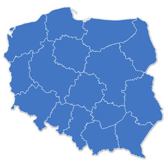 Map of Polandfavorite_border favorite
 Poland city mapfavorite_border favorite
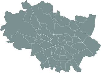 Simple gray vector map with white borders of districts of Wroclaw, Polandfavorite_border favorite
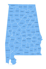 Alabama County Map, Detailed Vector Illustration of USA Administrative Boundariesfavorite_border favorite
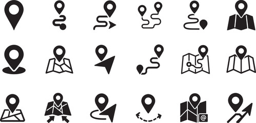 Location icon set with map, pin, navigation, distance, direction and address symbols in solid vector style.favorite_border favorite
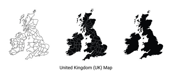 Three styles of united kingdom uk map outline graphicsfavorite_border favorite
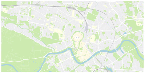 Krakow mapa Cracow Poland vector map Old town planfavorite_border favorite
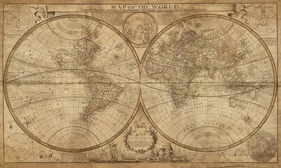 Old geographical map of the world of the 18 century. Collage. A good background for design on the theme of travel, geography, history, voyage, etc. Ancient map background.favorite_border favorite
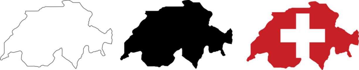 Switzerland map outline, silhouette and flag isolated on white backgroundfavorite_border favorite
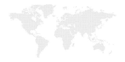 Dotted map of World. Small black dots on white backgroundfavorite_border favorite
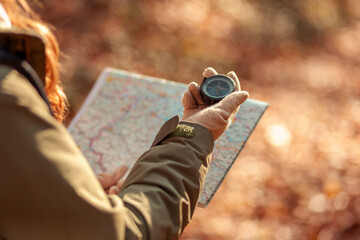 Woman holding a compass and reading a map while hikingfavorite_border favorite
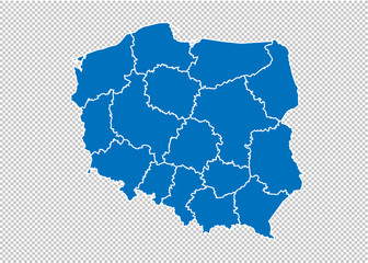 poland map - High detailed blue map with counties/regions/states of poland. poland map isolated on transparent background.favorite_border favorite
 A Set of Email, Phone, Location, Web, at the rate of, message and contact icon set. simple black style symbol sign for apps and website, vector illustration.favorite_border favorite
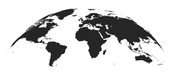 Abstract black blank silhouette of world map isolated on white background. Vector illustrationfavorite_border favorite
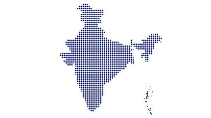 India map dotted vector silhouette blue halftone circle pattern geography template with islands for infographic poster presentationfavorite_border favorite
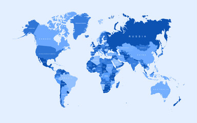 World map vector states border geography continent global business travel flat graphic earth globe planet worldwidefavorite_border favorite
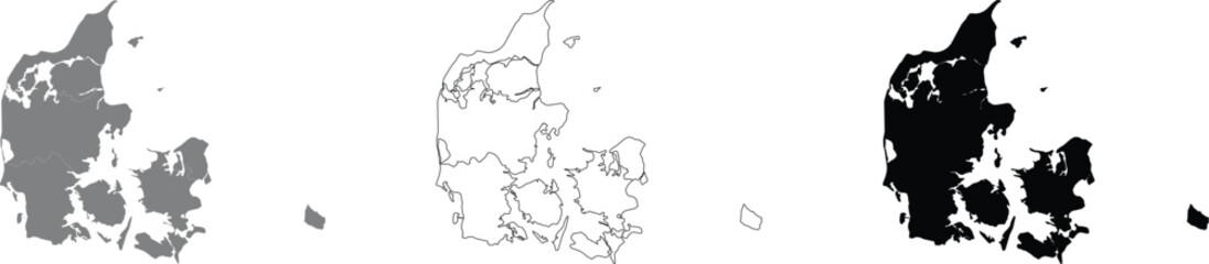 Art & Illustrationfavorite_border favorite
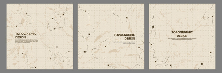 Vector illustration. Topographic map concept. Set of minimal square banners with retro graphics, marks, and trails. Line art pattern design on textured paper. Design for web banner, social mediafavorite_border favorite
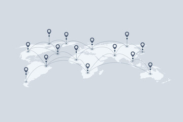 World map with location pins and connection lines representing global logistics and tracking. Flat vector illustration of international shipping, supply chain, and global trade.favorite_border favorite
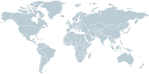 Modern World Map Designfavorite_border favorite
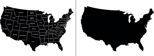 map of usa with state names and silhouette, united states of america geography outline, black administrative division borders of us territory on transparent backgroundfavorite_border favorite
 Location pin icon minimal map marker vector for navigation apps geotag pointer marking place and position symbol clean destination point sign pictogram designfavorite_border favorite
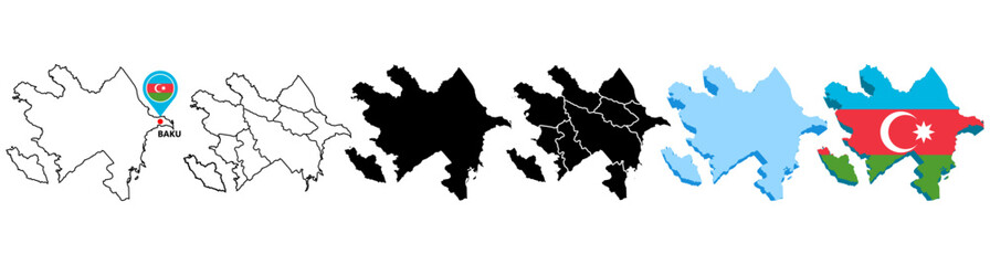 set collections Azerbaijan map infographic icon. High detailed stylized Azerbaijan map flag, border, 3D geometric, silhouette. Azerbaijan map pinned symbol design vector illustrationfavorite_border favorite
 Flat location icon set vector with GPS pin, map and navigation symbols for travel apps and geolocation.favorite_border favorite
 Customer journey, marketing and customer behavior analysis concept. Understanding the customer journey to improve their overall customer experience and increase loyalty. Marketing strategic planning.favorite_border favorite
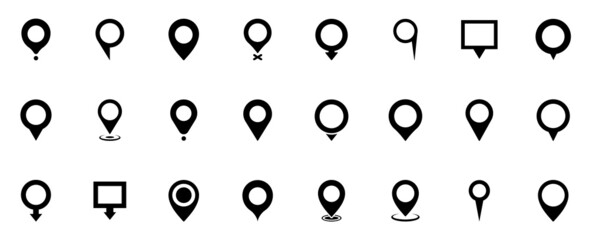 Map pointers icon set. Location pin collection. Map pointer GPS location. Pointer icon pin on the map to show the location. Vector illustrationfavorite_border favorite
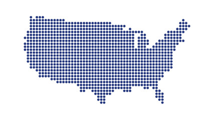 USA map dotted halftone vector illustration blue white monochrome isolated background infographic graphic design templatefavorite_border favorite
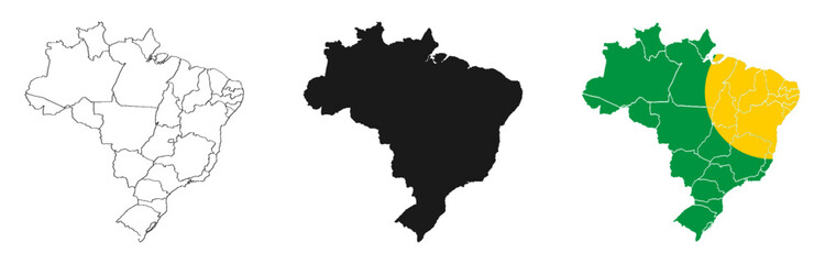 brazil country mapfavorite_border favorite
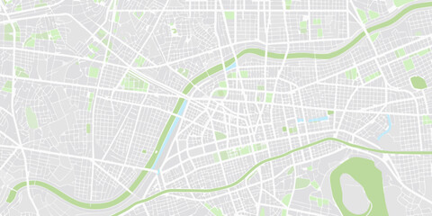 City map illustration pale gray and green color scheme overhead perspectivefavorite_border favorite
 Red Location Pin Drop Flat 2D Vector Iconfavorite_border favorite
 High detailed world map with country borders isolated on white background gray global cartography vector for infographics business presentation and educational geography projects.favorite_border favorite
 Cracow city map with roads and streets, Poland. Vector outline illustration.favorite_border favorite
 Poland country border map outline and silhouette vector graphic isolated image decalfavorite_border favorite
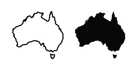 Australia map icon simple illustration set. Black and white iconsfavorite_border favorite
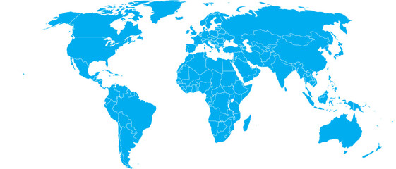 Blue World Map Silhouette Editable Vector.favorite_border favorite
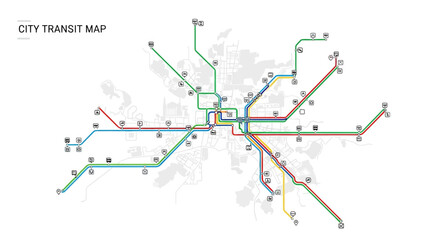 Generic city transit map with colorful subway and metro linesfavorite_border favorite
 Location, map, and pin icon collection. GPS, place, markers, pinpoing, position, and navigation icons set. Vector illustration transparent backgroundfavorite_border favorite
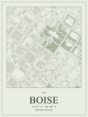 Boise united states city map minimalist poster designfavorite_border favorite
 location pin map sign, location mark icon pack, 50 setfavorite_border favorite
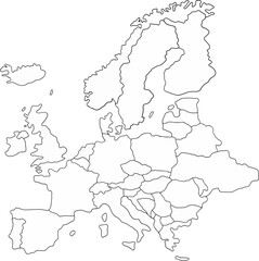 map of europefavorite_border favorite
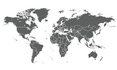 World map isolated on white background. for website layouts, background, education, precise, customizable, Travel worldwide, map silhouette backdrop, earth geography, political, reports.favorite_border favorite
 Flat icon set of location and map pinsfavorite_border favorite
 Minimalist 3D city map with GPS navigation route and destination pins. Abstract urban landscape blue tones, showing a planned travel path across river. Travel concepts. Vector illustrationfavorite_border favorite
 Brazil country vector map in white background.Brazil political map. Low detailed. Solid simple style. Black and white. Vector editable.favorite_border favorite
 Europe political map sketch for coloringfavorite_border favorite
 Modern minimalist vector map of Los Angeles, California, USA. High-quality scalable illustration of Los Angeles city grid, LA freeway network, Santa Monica bayfront for posters and design.favorite_border favorite
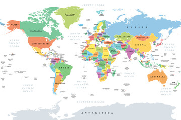 Countries of the world, multi colored political map, with international borders, main oceans, largest lakes and seas. Cylindrical projection. English labeling. Isolated illustration over white. Vectorfavorite_border favorite
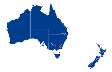 Australia and New Zealand Map vector with all States and territories in blue. Similar map blank of Australia and New Zealand on white background. High quality map. EPS10.favorite_border favorite
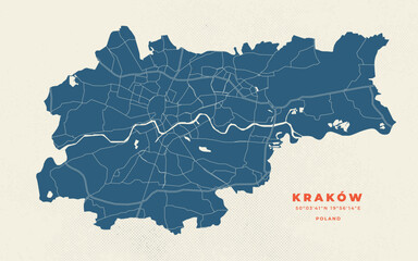 Krakow map vector poster flyerfavorite_border favorite
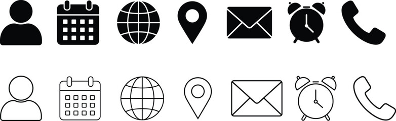 Collection of various communication and navigation icons on white background. Set of Email, Phone, Location, Time, Clock, Date, Calendar icons, vector illustrationfavorite_border favorite
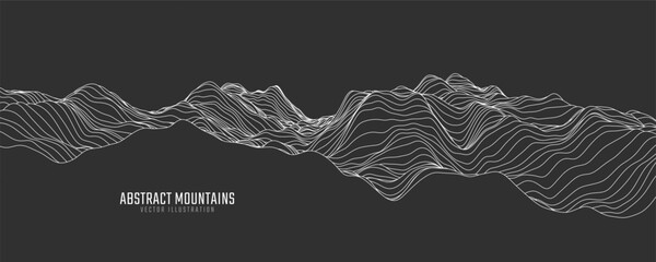 Contour mountain landscape. Waved line art. Abstract minimal topographic map. Contour lines with elevations and terrain depth. Vector illustration.favorite_border favorite
 Abstract colorful transit map backgroundfavorite_border favorite
 Abstract geometric stripe line discovery topography curve grid map and topo contour map on white background. Seamless pattern with lines Topographic map design.favorite_border favorite
 Red location pin icon with white center isolated on transparent backgroundfavorite_border favorite
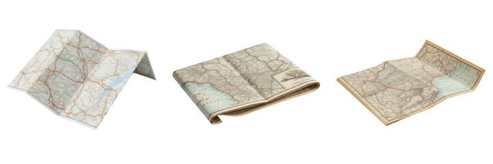 Set and collection of vintage folded paper topographic maps for travel and navigation mockup isolated on white transparent PNG backgroundfavorite_border favorite
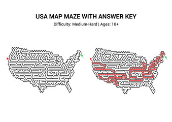 USA map maze puzzle activity with answer key, printable worksheet handout. Medium-hard difficulty, ages 10+favorite_border favorite
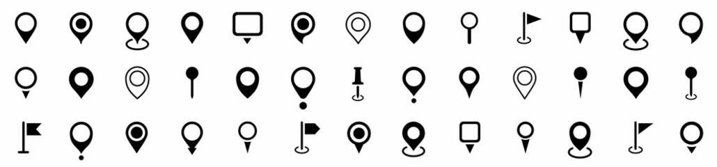 Set of Location pin icons. Modern map markers. Location mark icons. Map Marker Illustration. Destination Symbol. Pointer Logo. Vector illustrationfavorite_border favorite
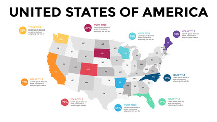 USA map infographic. Slide presentation. United States of America. Global business marketing concept. Color country. World transportation data. Economic statistic template.favorite_border favorite
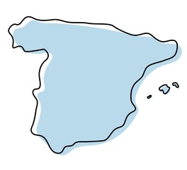 Stylized simple outline map of Spain icon. Blue sketch map of Spain vector illustrationfavorite_border favorite
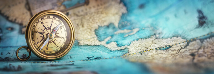 Magnetic old compass on world map.Travel, geography, navigation, tourism and exploration concept background. Macro photo. Very shallow focus.favorite_border favorite
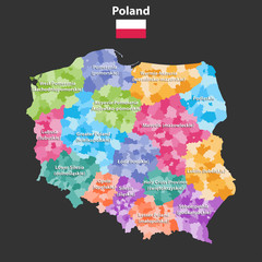 Poland provinces(known as voivodeships) vector map with administrative divisions. Polish names gives in parentheses, where they differ from the English ones.favorite_border favorite
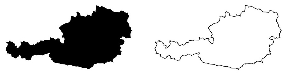 Simple (only sharp corners) map of Austria vector drawing. Mercator projection. Filled and outline version.favorite_border favorite
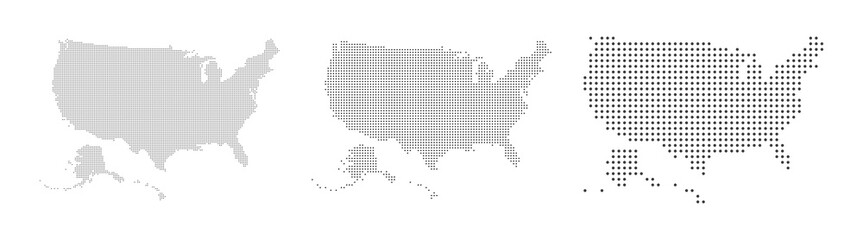 Abstract USA or United States of America Map with dot Pixel Spot Modern Concept Design Isolated on White background Vector illustration.favorite_border favorite
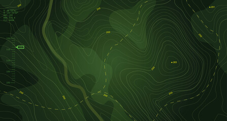 Military-style topographic map with contour lines, elevation data, and coordinates. Ideal for war strategy visuals, navigation design, and tactical planning interfaces. Battlefield top view green UI.favorite_border favorite
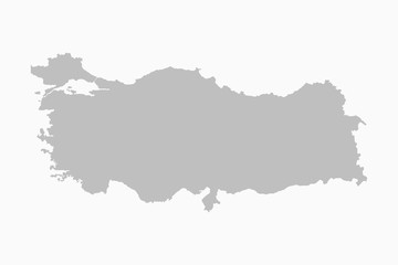 Turkey country map flat background vector templatefavorite_border favorite
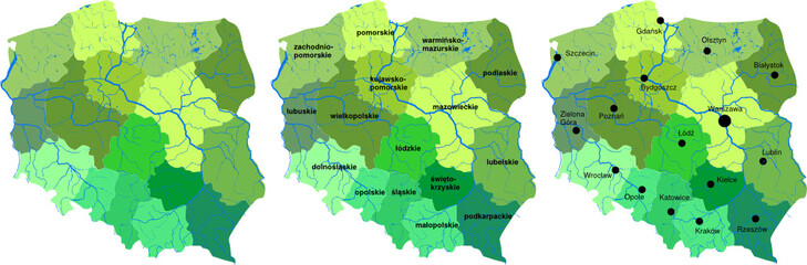 Mapa Polskifavorite_border favorite
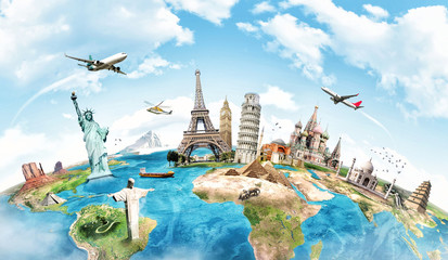 Travel the world monument conceptfavorite_border favorite
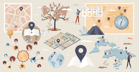 Geolocation set and GPS location or direction guide tiny person collection. Items with map navigation system, destination route calculation with road traffic vector illustration. Cartography elements.favorite_border favorite
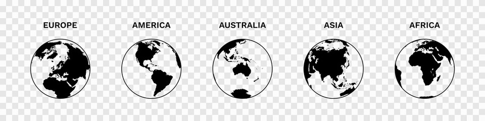 Set of Globe Illustration Vector of 5 Continents : Europe America Australia Asia Africa. World map vector illustration black silhouette bundlefavorite_border favorite
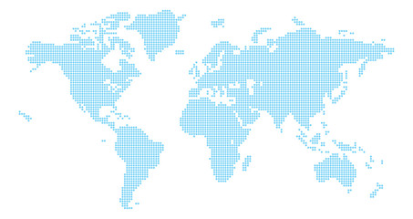 A world map background made of circles or dot shapesfavorite_border favorite
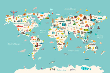 World map vector illustration. Landmarks, sight and animals hand draw icon. World vector poster for children, cute illustrated. Travel concept cardfavorite_border favorite
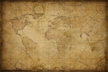 retro styled world mapfavorite_border favorite
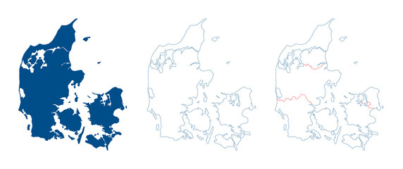 Denmark map vector. High detailed vector outline, blue silhouette and administrative divisions map of Denmark. All isolated on white background. Template for website, design, cover, infographicsfavorite_border favorite
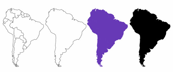 hand drawn south America map isolated on white backgroundfavorite_border favorite
 Dotted style map of USA and white backgroundfavorite_border favorite
 Greece black map on white background vectorfavorite_border favorite
 Pushpin on mapfavorite_border favorite
 3d Brazil white map with regions isolatedfavorite_border favorite
 World globe line icon. Vector Earth global country map planet line icon. Travel internet globe setfavorite_border favorite
 USA map 3d cinematographicfavorite_border favorite
 Urban vector city map of Szczecin, Polandfavorite_border favorite
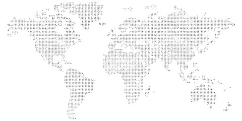 Dotted world map with digital grid pattern representing global network datafavorite_border favorite
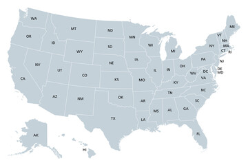 United States of America, gray political map. Fifty single states with their own geographic territories and borders, bound together in a union and federal government. Labeled with USPS abbreviations.favorite_border favorite
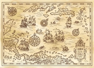 Ancient pirate map of the Caribbean Sea with ships, islands and fantasy creatures. Pirate adventures, treasure hunt and old transportation concept. Hand drawn vector illustration, vintage backgroundfavorite_border favorite
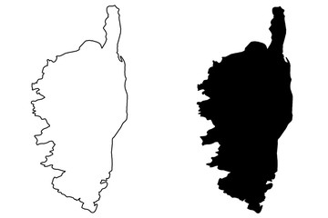 Corsica map vector illustration, scribble sketch Corsicafavorite_border favorite
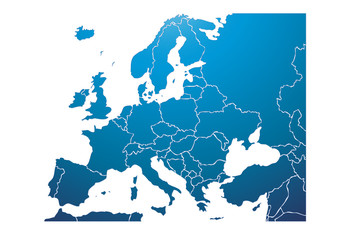 Mapa azul de Europa.favorite_border favorite
 Blue city area, background map, streets. Skyline urban panorama. Cartography illustration. Widescreen proportion, digital flat design streetmap. Vector City top view. View from above the mapfavorite_border favorite
 Modern Infographic Templatefavorite_border favorite
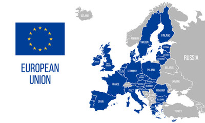 European Union political map. EU flag. Europe map isolated on a white background. Vector illustrationfavorite_border favorite
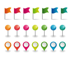 set of colorful flags, round pins and map pointersfavorite_border favorite
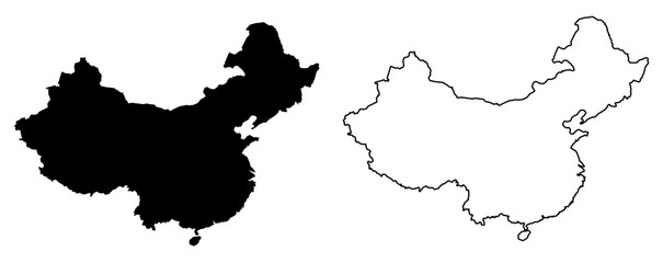 Simple (only sharp corners) map of China vector drawing. Filled and outline versionfavorite_border favorite
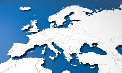 3D Europe mapfavorite_border favorite
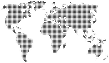 Weltkarte aus Punkten / Kreisenfavorite_border favorite
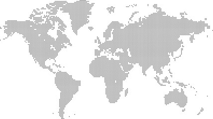 Square shape dotted world map with halftone pixel style continents and countries. Vector world map with square dot shape pattern. Digital world map square shape pattern infographic world atlas designfavorite_border favorite
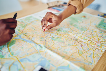 Cropped image of woman's hand pointing on mark on cartography planning adventure route on journey, top view of map of country checking direction and location for explore during travel vacation.favorite_border favorite
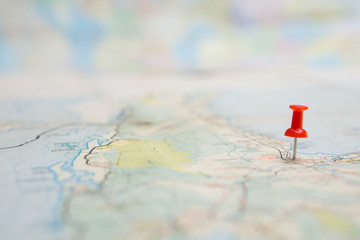 Selective focus of Red pin on map backgroundfavorite_border favorite
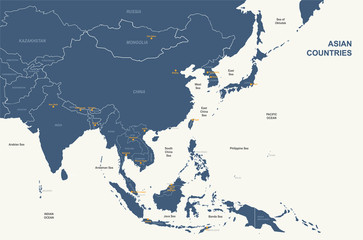 asia map. detailed vector map of asian countries.favorite_border favorite
 Vintage Europe map retro background. Based on image furnished from NASA.favorite_border favorite
 France map on the postage stamp vectorfavorite_border favorite