-
Custom map creation set for kids and travel designs with houses, animals, trees, plants, flowers, roads, cars and vehicles, airplane and weather items. Includes three designs of maps
Do ulubionych favorite_border
Usuń z ulubionych favorite
-
GPS Map to Route Destination network connection Location Street Map with GPS Icons Navigation
Do ulubionych favorite_border
Usuń z ulubionych favorite
-
Czech Republic map vector. High detailed vector outline, blue silhouette and administrative divisions map of Czech Republic. All isolated on white background
Do ulubionych favorite_border
Usuń z ulubionych favorite
-
US Map Black USA Border United States Country America Transparent Isolated Variations
Do ulubionych favorite_border
Usuń z ulubionych favorite
-
Do ulubionych favorite_border
Usuń z ulubionych favorite
-
Do ulubionych favorite_border
Usuń z ulubionych favorite
-
Do ulubionych favorite_border
Usuń z ulubionych favorite
-
3D rendering of world map
Do ulubionych favorite_border
Usuń z ulubionych favorite
-
Lodz map. Detailed map of Lodz city poster with streets, water.
Do ulubionych favorite_border
Usuń z ulubionych favorite
-
Europe at night from space, city lights, elements from NASA
Do ulubionych favorite_border
Usuń z ulubionych favorite
-
Map with gps pointers for park and shop, hospital
Do ulubionych favorite_border
Usuń z ulubionych favorite
-
set of 4 political maps of Australia with regions isolated on white background
Do ulubionych favorite_border
Usuń z ulubionych favorite
-
Outline World Map with Major Country Labels
Do ulubionych favorite_border
Usuń z ulubionych favorite
-
Do ulubionych favorite_border
Usuń z ulubionych favorite
-
Territory of Luxembourg on Europe map on a white background
Do ulubionych favorite_border
Usuń z ulubionych favorite
-
Map of the united kingdom
Do ulubionych favorite_border
Usuń z ulubionych favorite
-
Map of World. Political map divided to six continents - North America, South America, Africa, Europe, Asia and Australia. Vector illustration in shades of grey with country name labels.
Do ulubionych favorite_border
Usuń z ulubionych favorite
-
City map London England, travel poster detailed urban street plan, vector illustration
Do ulubionych favorite_border
Usuń z ulubionych favorite
-
Hex Tile Poland map. Vector geographic scheme in light blue color with horizontal gradient on white and black backgrounds. Abstract Poland map mosaic is designed with honeycomb items.
Do ulubionych favorite_border
Usuń z ulubionych favorite
-
argentina map flag icon set
Do ulubionych favorite_border
Usuń z ulubionych favorite
-
italy map white and black
Do ulubionych favorite_border
Usuń z ulubionych favorite
-
Detailed map of the world with the borders and flags of states on a blue background
Do ulubionych favorite_border
Usuń z ulubionych favorite
-
Tokyo bay area road map ( with place names, sightseeing spots)
Do ulubionych favorite_border
Usuń z ulubionych favorite
-
Selective focus of Red pin on map background
Do ulubionych favorite_border
Usuń z ulubionych favorite
-
Mexico on map with clouds
Do ulubionych favorite_border
Usuń z ulubionych favorite
-
Spain, topographic relief - light glow
Do ulubionych favorite_border
Usuń z ulubionych favorite
-
Set of flat earth world maps with dots in different resolution. Round pixel pattern. Modern digital globe. Black dots on white background. Worldmap template for website, infographics, design.
Do ulubionych favorite_border
Usuń z ulubionych favorite
-
3d Spain white map on grey
Do ulubionych favorite_border
Usuń z ulubionych favorite
-
Territory of Qatar. Planet Earth. The Earth, World Map on white background. Vector illustration. EPS 10
Do ulubionych favorite_border
Usuń z ulubionych favorite
-
Location line icon set. Compass, travel, globe, map, geography, earth, distance, direction minimal vector illustration. Simple outline sign navigation app ui 30x30 Pixel Perfect Editable Stroke
Do ulubionych favorite_border
Usuń z ulubionych favorite
-
Do ulubionych favorite_border
Usuń z ulubionych favorite
-
4 vector political maps of France with regions on white background
Do ulubionych favorite_border
Usuń z ulubionych favorite
-
Übersichtskarte von Guinea mit Landesflagge
Do ulubionych favorite_border
Usuń z ulubionych favorite
-
Location icon set. Containing map, map pin, gps, destination, directions, distance, place, navigation, address, and more. Outline Icon Collection. Vector illustration. Editable stroke
Do ulubionych favorite_border
Usuń z ulubionych favorite
-
High detailed Europe map isolated on a white background. Europe background. Map of Europe. Vector illustration
Do ulubionych favorite_border
Usuń z ulubionych favorite
-
White and light grey Wrocław city area vector background map, roads and water illustration. Widescreen proportion, digital flat design.
Do ulubionych favorite_border
Usuń z ulubionych favorite
-
world map made of wood crafts for planning a trip
Do ulubionych favorite_border
Usuń z ulubionych favorite
-
High detailed vector map - Philippines.
Do ulubionych favorite_border
Usuń z ulubionych favorite
-
Do ulubionych favorite_border
Usuń z ulubionych favorite
-
Asia vector map southeast country, Asian east continent icon silhouette china malaysia japan
Do ulubionych favorite_border
Usuń z ulubionych favorite
-
Abstract world map on blue.
Do ulubionych favorite_border
Usuń z ulubionych favorite
-
World Map with Countries name text, World Map Letter, World Map Typography
Do ulubionych favorite_border
Usuń z ulubionych favorite
-
Do ulubionych favorite_border
Usuń z ulubionych favorite
-
Colombia Map Set - Vector Solid, Contour, Regions, Flag, Pixels
Do ulubionych favorite_border
Usuń z ulubionych favorite
-
Area map of Wrocław, Poland
Do ulubionych favorite_border
Usuń z ulubionych favorite
-
Outline map of the United States of America. 50 States of the USA. US map with state borders. Silhouette of the USA. Vector
Do ulubionych favorite_border
Usuń z ulubionych favorite
-
Do ulubionych favorite_border
Usuń z ulubionych favorite
-
High detailed Multicolor Watercolor World Map Illustration with borders, oceans and countries on white Background, Side View.
Do ulubionych favorite_border
Usuń z ulubionych favorite
-
Simple (only sharp corners) map of Romania vector drawing. Mercator projection. Filled and outline version.
Do ulubionych favorite_border
Usuń z ulubionych favorite
-
Algeria map with administrative divisions.
Do ulubionych favorite_border
Usuń z ulubionych favorite
-
GPS map navigator concept. Street maps and directions. Vector illustration.
Do ulubionych favorite_border
Usuń z ulubionych favorite
-
Illustration and pictogram of gray hatched map of the world.
Do ulubionych favorite_border
Usuń z ulubionych favorite
-
Blank outline map of Europe. Simplified wireframe map of black lined borders. EPS10 vector illustration.
Do ulubionych favorite_border
Usuń z ulubionych favorite
-
Main regions of Asia. Political map with single countries. Colored subregions of the Asian continent. Central, East, North, South, Southeast and Western Asia. English labeled. Illustration. Vector.
Do ulubionych favorite_border
Usuń z ulubionych favorite
-
world map line design vector illustration. modern world concept isolated white background
Do ulubionych favorite_border
Usuń z ulubionych favorite
-
Do ulubionych favorite_border
Usuń z ulubionych favorite
-
country Poland and voivodeships
Do ulubionych favorite_border
Usuń z ulubionych favorite
-
United Kingdom map outlines featuring a vector illustration in black and white perfect for geographic designs and infographics EPS vector
Do ulubionych favorite_border
Usuń z ulubionych favorite
-
Abstract paper map in hand on blue background with copy space. High quality photo
Do ulubionych favorite_border
Usuń z ulubionych favorite
-
World map silhouette, gray and white, flat design, world map template, vector illustration.
Do ulubionych favorite_border
Usuń z ulubionych favorite
-
Set of flat earth world maps with round dots in different resolution. Round pixel pattern. Modern digital globe. Black dots on white background. Worldmap template for website, infographics, design.
Do ulubionych favorite_border
Usuń z ulubionych favorite
-
Do ulubionych favorite_border
Usuń z ulubionych favorite
-
Vector abstract city map in perspective view
Do ulubionych favorite_border
Usuń z ulubionych favorite
-
Colored administrative and political vector map of the Spanish provinces and regions
Do ulubionych favorite_border
Usuń z ulubionych favorite
-
Printable street map of Austin, Texas
Do ulubionych favorite_border
Usuń z ulubionych favorite
-
Old map collage background. A concept on the topic of sea voyages, discoveries, pirates, sailors, geography, travel and history. Pirate, travel and nautical background.
Do ulubionych favorite_border
Usuń z ulubionych favorite
-
Stylized simple outline map of USA icon. Blue sketch map of America vector illustration
Do ulubionych favorite_border
Usuń z ulubionych favorite
-
Grey Vector Political Map of Spain
Do ulubionych favorite_border
Usuń z ulubionych favorite
-
vector map flag of Switzerland isolated on white background
Do ulubionych favorite_border
Usuń z ulubionych favorite
-
Do ulubionych favorite_border
Usuń z ulubionych favorite
-
Simple (only sharp corners) map of Indonesia vector drawing.
Do ulubionych favorite_border
Usuń z ulubionych favorite
-
location pin symbol green and white color map marker silhouette vector
Do ulubionych favorite_border
Usuń z ulubionych favorite
-
Blank outline map of World. Worksheet for geography teachers usable as geographical test in school lessons.
Do ulubionych favorite_border
Usuń z ulubionych favorite
-
Illustration and pictogram of gray hatched map of the world on a transparent background.
Do ulubionych favorite_border
Usuń z ulubionych favorite
-
World map dotted illustration. Worldwide global map with dots. Isolated Earth atlas wallpaper.
Do ulubionych favorite_border
Usuń z ulubionych favorite
-
United States Geo Map with Pin Positions
Do ulubionych favorite_border
Usuń z ulubionych favorite
-
XXL size physical world map illustration. Primary source, elements of this image furnished by NASA. Extra large big map with highest detail avalable. 350 Mega Pixels resolution.
Do ulubionych favorite_border
Usuń z ulubionych favorite
-
Infographic template winding asphalt road with pin-pointers. Vector EPS 10
Do ulubionych favorite_border
Usuń z ulubionych favorite
-
world map - Colourful Illustration in pastel blues and greens, showing country names, State names (USA & Australia), capital cities, major lakes and oceans. Print at no less than 36". Jpeg image
Do ulubionych favorite_border
Usuń z ulubionych favorite
-
ofvs267 OutlineFilledVectorSign ofvs - map marker vector icon . location pin sign . travel destination . place logo . isolated transparent . outline and filled version . AI 10 / EPS 10 / PNG . g11607
Do ulubionych favorite_border
Usuń z ulubionych favorite
-
map of europe made out of wood vacation planning craft
Do ulubionych favorite_border
Usuń z ulubionych favorite
-
Do ulubionych favorite_border
Usuń z ulubionych favorite
-
Do ulubionych favorite_border
Usuń z ulubionych favorite
-
Vector map of Brazil. High detailed country map with division, cities and capital Brasilia. Political map, world map, infographic elements.
Do ulubionych favorite_border
Usuń z ulubionych favorite
-
Abstract triangle icon set, map style, logo symbol
Do ulubionych favorite_border
Usuń z ulubionych favorite
-
Brush style color flag of Antarctica, A plain white map of the continent on a blue background. with text Antarctica.
Do ulubionych favorite_border
Usuń z ulubionych favorite
-
Do ulubionych favorite_border
Usuń z ulubionych favorite
-
World map outline with highlighted continents and islands on a transparent background
Do ulubionych favorite_border
Usuń z ulubionych favorite
-
Abstract paper cut shapes. Topographic map on white background. Topo map elevation lines. Contour vector abstract vector illustration. Geographic world topography.
Do ulubionych favorite_border
Usuń z ulubionych favorite
-
Do ulubionych favorite_border
Usuń z ulubionych favorite
-
Navigating with map and compass
Do ulubionych favorite_border
Usuń z ulubionych favorite
-
Mobilna nawigacja GPS na tablecie.
Do ulubionych favorite_border
Usuń z ulubionych favorite
-
Arkhangelsk Oblast (Russia, Subjects of the Russian Federation, Oblasts of Russia) map vector illustration, scribble sketch Arkhangelsk Oblast (Franz Josef Land and Novaya Zemlya) map
Do ulubionych favorite_border
Usuń z ulubionych favorite
-
detailed labeled africa line map
Do ulubionych favorite_border
Usuń z ulubionych favorite
-
Simplified vector illustration of world map
Do ulubionych favorite_border
Usuń z ulubionych favorite
-
Cool grey Abstrak technologi vector tech Stylized modern world map background Stylized wireframe and dots for data visualization and infographics HUD GUI UI
Do ulubionych favorite_border
Usuń z ulubionych favorite
-
Europe 3d map of europe Template for your design
Do ulubionych favorite_border
Usuń z ulubionych favorite
-
Hand drawn world map illustration, colorful vector of world map line art, doodles for poster, travel, print, business, vector illustration of global map.
Do ulubionych favorite_border
Usuń z ulubionych favorite
-
Vector illustration. Topographic cover concept. Set of minimal design banner for print. Vintage color. Old fashion style. Retro poster graphic. Map with marks and trails. Line art pattern
Do ulubionych favorite_border
Usuń z ulubionych favorite
-
World`s eye vision business Technology background, hexagons and circuit board, Hi-tech digital technology and engineering.
Do ulubionych favorite_border
Usuń z ulubionych favorite
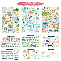 Custom map creation set for kids and travel designs with houses, animals, trees, plants, flowers, roads, cars and vehicles, airplane and weather items. Includes three designs of mapsfavorite_border favorite
 GPS Map to Route Destination network connection Location Street Map with GPS Icons Navigationfavorite_border favorite
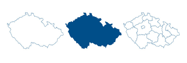 Czech Republic map vector. High detailed vector outline, blue silhouette and administrative divisions map of Czech Republic. All isolated on white backgroundfavorite_border favorite
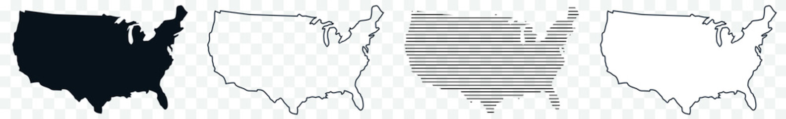 US Map Black USA Border United States Country America Transparent Isolated Variationsfavorite_border favorite
 coeurfavorite_border favorite
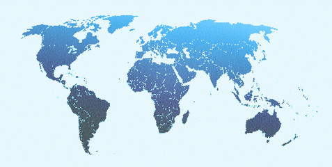 World Mapfavorite_border favorite
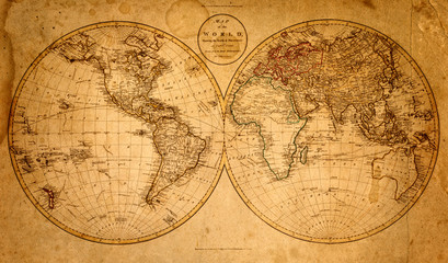 old map 1799favorite_border favorite
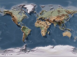 3D rendering of world mapfavorite_border favorite
 Lodz map. Detailed map of Lodz city poster with streets, water.favorite_border favorite
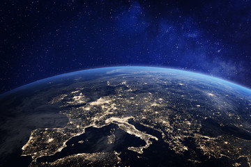 Europe at night from space, city lights, elements from NASAfavorite_border favorite
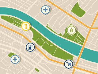 Map with gps pointers for park and shop, hospitalfavorite_border favorite
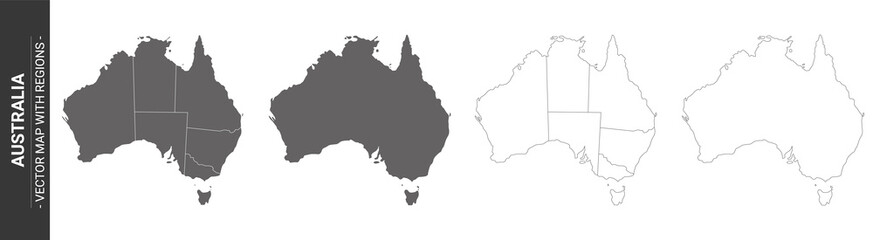 set of 4 political maps of Australia with regions isolated on white backgroundfavorite_border favorite
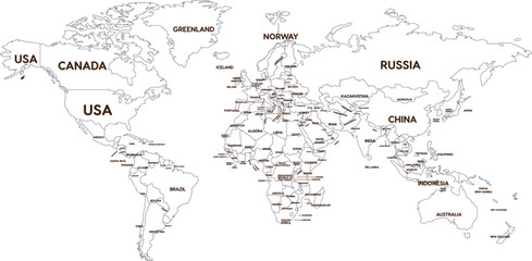 Outline World Map with Major Country Labelsfavorite_border favorite
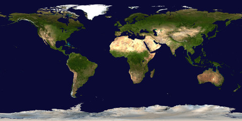 World's mapfavorite_border favorite
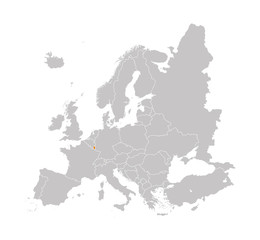 Territory of Luxembourg on Europe map on a white backgroundfavorite_border favorite
 Map of the united kingdomfavorite_border favorite
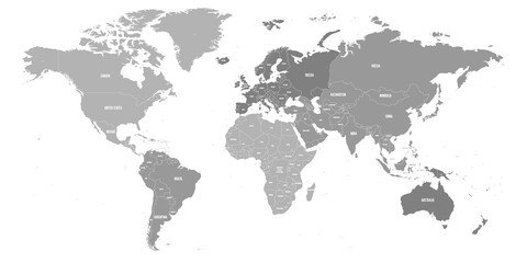 Map of World. Political map divided to six continents - North America, South America, Africa, Europe, Asia and Australia. Vector illustration in shades of grey with country name labels.favorite_border favorite
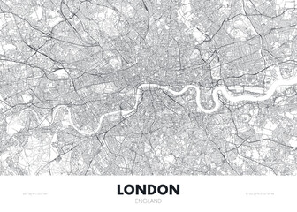 City map London England, travel poster detailed urban street plan, vector illustrationfavorite_border favorite
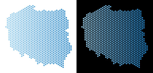 Hex Tile Poland map. Vector geographic scheme in light blue color with horizontal gradient on white and black backgrounds. Abstract Poland map mosaic is designed with honeycomb items.favorite_border favorite
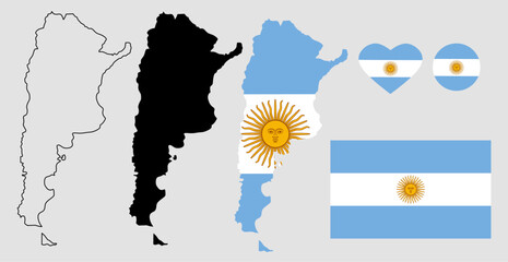 argentina map flag icon setfavorite_border favorite
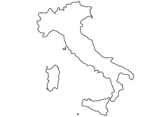 italy map white and blackfavorite_border favorite
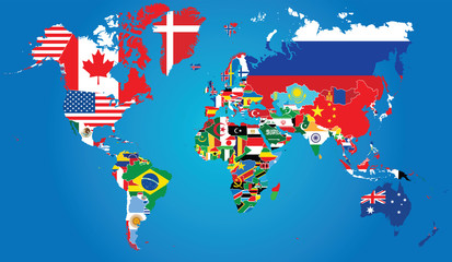 Detailed map of the world with the borders and flags of states on a blue backgroundfavorite_border favorite
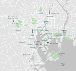 Tokyo bay area road map ( with place names, sightseeing spots)favorite_border favorite
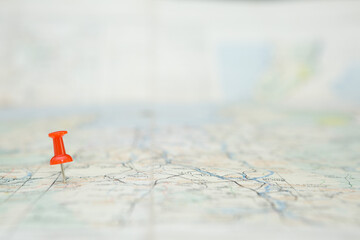 Selective focus of Red pin on map backgroundfavorite_border favorite
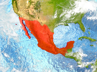 Mexico on map with cloudsfavorite_border favorite
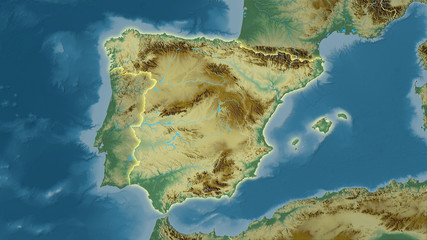 Spain, topographic relief - light glowfavorite_border favorite
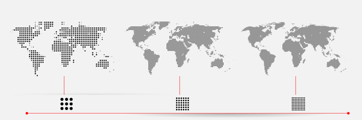 Set of flat earth world maps with dots in different resolution. Round pixel pattern. Modern digital globe. Black dots on white background. Worldmap template for website, infographics, design.favorite_border favorite
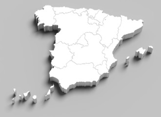 3d Spain white map on greyfavorite_border favorite
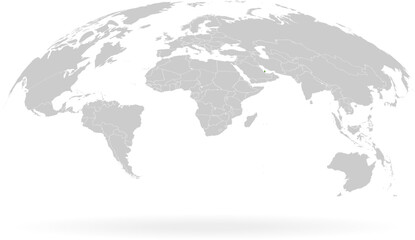 Territory of Qatar. Planet Earth. The Earth, World Map on white background. Vector illustration. EPS 10favorite_border favorite
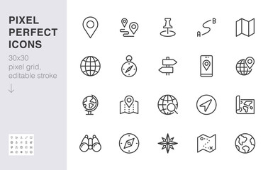 Location line icon set. Compass, travel, globe, map, geography, earth, distance, direction minimal vector illustration. Simple outline sign navigation app ui 30x30 Pixel Perfect Editable Strokefavorite_border favorite
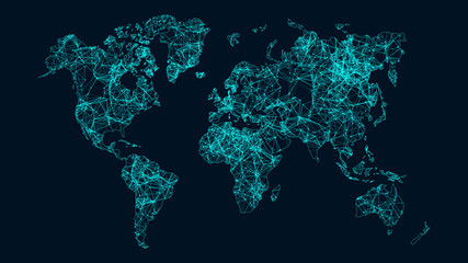 Technology network.favorite_border favorite
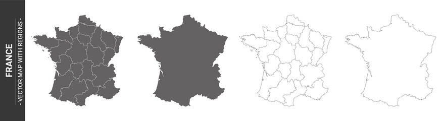 4 vector political maps of France with regions on white backgroundfavorite_border favorite
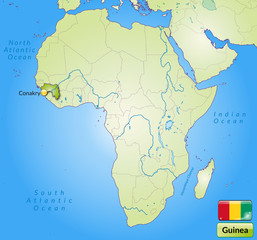 Übersichtskarte von Guinea mit Landesflaggefavorite_border favorite
 Location icon set. Containing map, map pin, gps, destination, directions, distance, place, navigation, address, and more. Outline Icon Collection. Vector illustration. Editable strokefavorite_border favorite
 High detailed Europe map isolated on a white background. Europe background. Map of Europe. Vector illustrationfavorite_border favorite
 White and light grey Wrocław city area vector background map, roads and water illustration. Widescreen proportion, digital flat design.favorite_border favorite
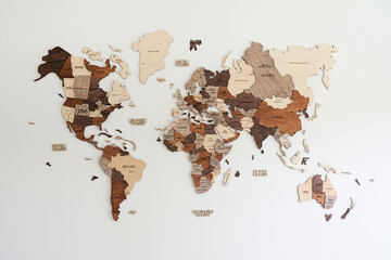 world map made of wood crafts for planning a tripfavorite_border favorite
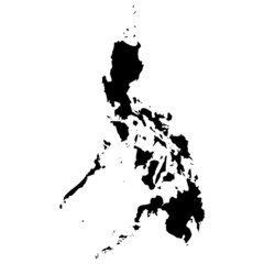 High detailed vector map - Philippines.favorite_border favorite
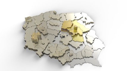 Countryfavorite_border favorite
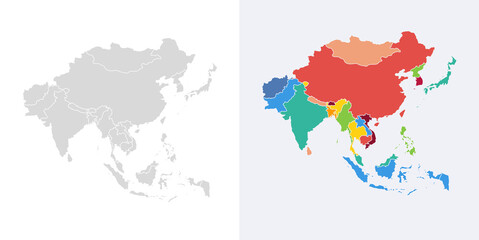 Asia vector map southeast country, Asian east continent icon silhouette china malaysia japanfavorite_border favorite
 Abstract world map on blue.favorite_border favorite
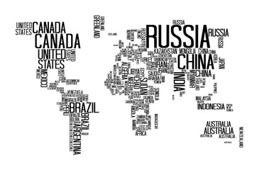 World Map with Countries name text, World Map Letter, World Map Typographyfavorite_border favorite
 Map Of Poland 3d Shapefavorite_border favorite
 Colombia Map Set - Vector Solid, Contour, Regions, Flag, Pixelsfavorite_border favorite
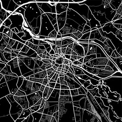 Area map of Wrocław, Polandfavorite_border favorite
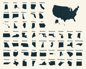 Outline map of the United States of America. 50 States of the USA. US map with state borders. Silhouette of the USA. Vectorfavorite_border favorite
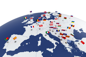 Europe mapfavorite_border favorite
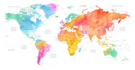 High detailed Multicolor Watercolor World Map Illustration with borders, oceans and countries on white Background, Side View.favorite_border favorite
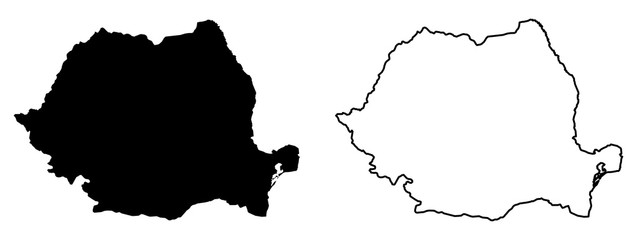 Simple (only sharp corners) map of Romania vector drawing. Mercator projection. Filled and outline version.favorite_border favorite
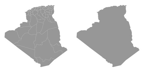 Algeria map with administrative divisions.favorite_border favorite
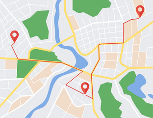 GPS map navigator concept. Street maps and directions. Vector illustration.favorite_border favorite
 Illustration and pictogram of gray hatched map of the world.favorite_border favorite
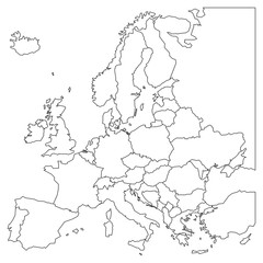 Blank outline map of Europe. Simplified wireframe map of black lined borders. EPS10 vector illustration.favorite_border favorite
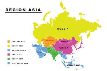 Main regions of Asia. Political map with single countries. Colored subregions of the Asian continent. Central, East, North, South, Southeast and Western Asia. English labeled. Illustration. Vector.favorite_border favorite
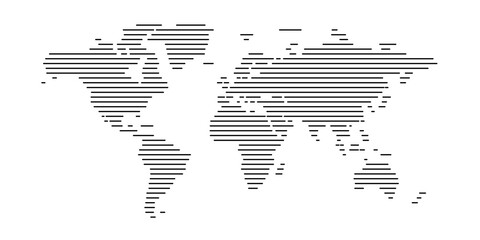 world map line design vector illustration. modern world concept isolated white backgroundfavorite_border favorite
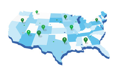 United States Geo Mapfavorite_border favorite
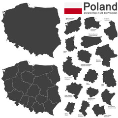 country Poland and voivodeshipsfavorite_border favorite
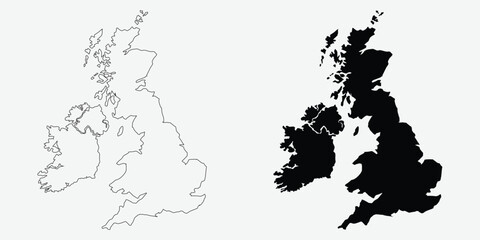 United Kingdom map outlines featuring a vector illustration in black and white perfect for geographic designs and infographics EPS vectorfavorite_border favorite
 Abstract paper map in hand on blue background with copy space. High quality photofavorite_border favorite
 World map silhouette, gray and white, flat design, world map template, vector illustration.favorite_border favorite
 Set of flat earth world maps with round dots in different resolution. Round pixel pattern. Modern digital globe. Black dots on white background. Worldmap template for website, infographics, design.favorite_border favorite
 mapa mundofavorite_border favorite
 Vector abstract city map in perspective viewfavorite_border favorite
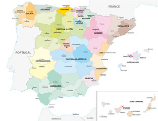 Colored administrative and political vector map of the Spanish provinces and regionsfavorite_border favorite
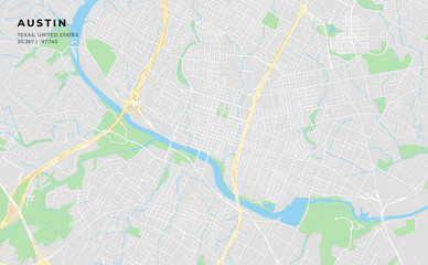 Printable street map of Austin, Texasfavorite_border favorite
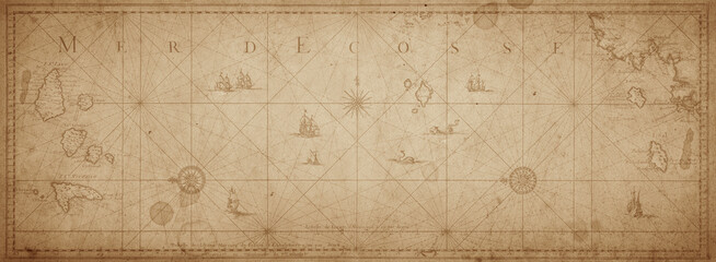 Old map collage background. A concept on the topic of sea voyages, discoveries, pirates, sailors, geography, travel and history. Pirate, travel and nautical background.favorite_border favorite
 Stylized simple outline map of USA icon. Blue sketch map of America vector illustrationfavorite_border favorite
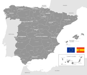 Grey Vector Political Map of Spainfavorite_border favorite
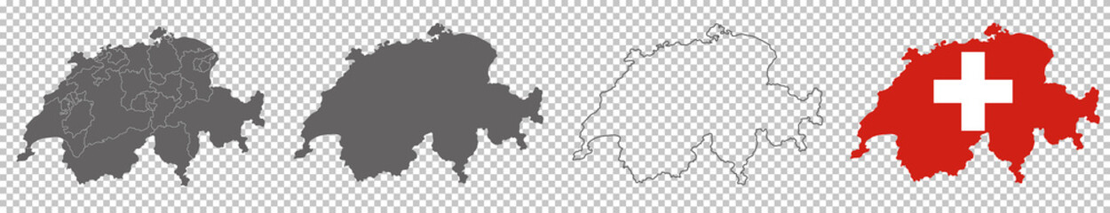 vector map flag of Switzerland isolated on white backgroundfavorite_border favorite
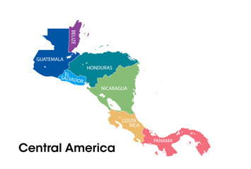 Central america mapfavorite_border favorite
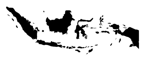 Simple (only sharp corners) map of Indonesia vector drawing.favorite_border favorite
 location pin symbol green and white color map marker silhouette vectorfavorite_border favorite
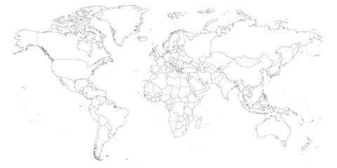 Blank outline map of World. Worksheet for geography teachers usable as geographical test in school lessons.favorite_border favorite
 Illustration and pictogram of gray hatched map of the world on a transparent background.favorite_border favorite
 World map dotted illustration. Worldwide global map with dots. Isolated Earth atlas wallpaper.favorite_border favorite
 United States Geo Map with Pin Positionsfavorite_border favorite
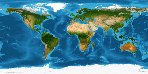 XXL size physical world map illustration. Primary source, elements of this image furnished by NASA. Extra large big map with highest detail avalable. 350 Mega Pixels resolution.favorite_border favorite
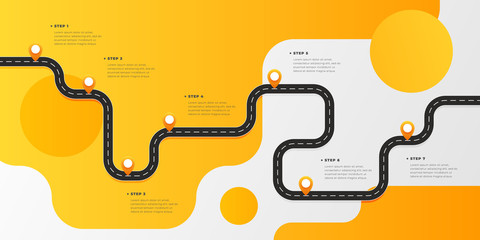 Infographic template winding asphalt road with pin-pointers. Vector EPS 10favorite_border favorite
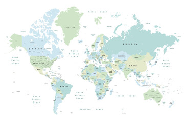 world map - Colourful Illustration in pastel blues and greens, showing country names, State names (USA & Australia), capital cities, major lakes and oceans. Print at no less than 36". Jpeg imagefavorite_border favorite
 ofvs267 OutlineFilledVectorSign ofvs - map marker vector icon . location pin sign . travel destination . place logo . isolated transparent . outline and filled version . AI 10 / EPS 10 / PNG . g11607favorite_border favorite
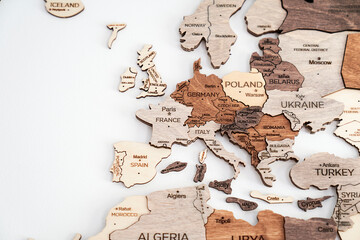 map of europe made out of wood vacation planning craftfavorite_border favorite
 World mapfavorite_border favorite
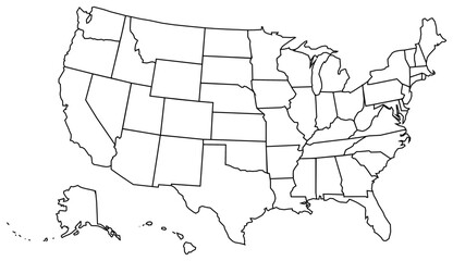 USA map. vector filefavorite_border favorite
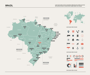 Vector map of Brazil. High detailed country map with division, cities and capital Brasilia. Political map, world map, infographic elements.favorite_border favorite
 Abstract triangle icon set, map style, logo symbolfavorite_border favorite
 Brush style color flag of Antarctica, A plain white map of the continent on a blue background. with text Antarctica.favorite_border favorite
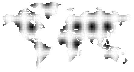 Dotted world mapfavorite_border favorite
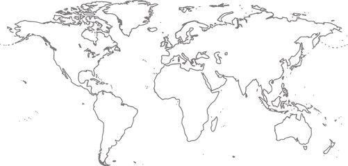 World map outline with highlighted continents and islands on a transparent backgroundfavorite_border favorite
 Abstract paper cut shapes. Topographic map on white background. Topo map elevation lines. Contour vector abstract vector illustration. Geographic world topography.favorite_border favorite
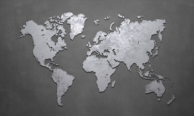 World Mapfavorite_border favorite
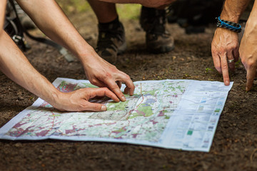 Navigating with map and compassfavorite_border favorite
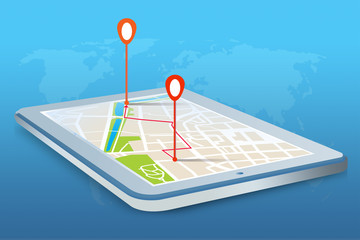 Mobilna nawigacja GPS na tablecie.favorite_border favorite
 Arkhangelsk Oblast (Russia, Subjects of the Russian Federation, Oblasts of Russia) map vector illustration, scribble sketch Arkhangelsk Oblast (Franz Josef Land and Novaya Zemlya) mapfavorite_border favorite
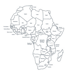 detailed labeled africa line mapfavorite_border favorite
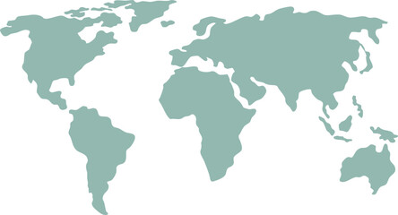 Simplified vector illustration of world mapfavorite_border favorite
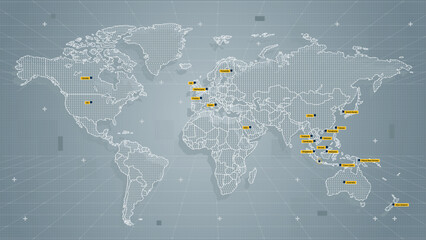 Cool grey Abstrak technologi vector tech Stylized modern world map background Stylized wireframe and dots for data visualization and infographics HUD GUI UIfavorite_border favorite
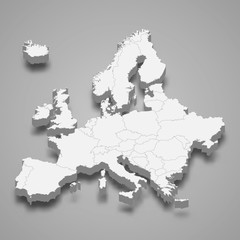 Europe 3d map of europe Template for your designfavorite_border favorite
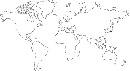 Hand drawn world map illustration, colorful vector of world map line art, doodles for poster, travel, print, business, vector illustration of global map.favorite_border favorite
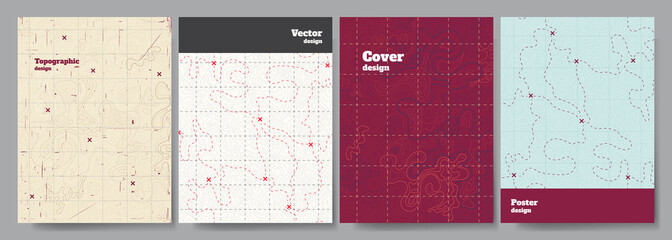 Vector illustration. Topographic cover concept. Set of minimal design banner for print. Vintage color. Old fashion style. Retro poster graphic. Map with marks and trails. Line art patternfavorite_border favorite
 World`s eye vision business Technology background, hexagons and circuit board, Hi-tech digital technology and engineering.favorite_border favorite