-
map of argentina on transparent background
Do ulubionych favorite_border
Usuń z ulubionych favorite
-
Physical map of Scandinavia, Northern Europe. Flattened satellite view of Planet Earth, its geography and topography. 3D illustration - Elements of this image furnished by NASA
Do ulubionych favorite_border
Usuń z ulubionych favorite
-
Vector color detailed map of Italy with administrative divisions of the country, each region is presented separately in-highly detailed and divided into provinces
Do ulubionych favorite_border
Usuń z ulubionych favorite
-
Old treasure map of pirate vector sketch with islands of Caribbean Sea, vintage nautical compass, pirate ships. Anchors, antique parchment, treasure chests and fantasy ocean monsters, adventure design
Do ulubionych favorite_border
Usuń z ulubionych favorite
-
Color world map with the names of countries and national flags. Political map. Every country is isolated.
Do ulubionych favorite_border
Usuń z ulubionych favorite
-
Single red pushpin marking a location on an open map
Do ulubionych favorite_border
Usuń z ulubionych favorite
-
Do ulubionych favorite_border
Usuń z ulubionych favorite
-
Latvia map vector. High detailed vector outline, blue silhouette and administrative divisions map of Latvia. All isolated on white background. Template for website, design, cover, infographics
Do ulubionych favorite_border
Usuń z ulubionych favorite
-
Happy and smiling traveling woman in scarf and hat hold map in hand among snowy trees in winter forest
Do ulubionych favorite_border
Usuń z ulubionych favorite
-
Fantasy map elements illustration, drawing, engraving, ink, line art, vector
Do ulubionych favorite_border
Usuń z ulubionych favorite
-
Pin location icon for map and navigation
Do ulubionych favorite_border
Usuń z ulubionych favorite
-
Set pin map marker pointer icon, GPS location flat symbol, arrows and flag signs – vector
Do ulubionych favorite_border
Usuń z ulubionych favorite
-
World map divided into six continents. Each continent in different color. Simple flat vector illustration.
Do ulubionych favorite_border
Usuń z ulubionych favorite
-
black silhouette map of latin america with country borders isolated on white background for graphic or print use
Do ulubionych favorite_border
Usuń z ulubionych favorite
-
USA Map. Poster map of United States of America. Print of USA with name states, poster or geographic, political theme. Infographic graphic design print map of USA states. Vector Illustration
Do ulubionych favorite_border
Usuń z ulubionych favorite
-
America with countries Map grey
Do ulubionych favorite_border
Usuń z ulubionych favorite
-
Abstract world map. Black outline silhouette on white background. Flat vector illustration. Background with Earth.
Do ulubionych favorite_border
Usuń z ulubionych favorite
-
World logistic delivery concept. Global export and import airlinnes. Smart airplane tracking. Ecommerce trade service infographic.
Do ulubionych favorite_border
Usuń z ulubionych favorite
-
World map from points. Outline world map and continents with dots on white background.
Do ulubionych favorite_border
Usuń z ulubionych favorite
-
pin or tag to indicate a location in PNG format
Do ulubionych favorite_border
Usuń z ulubionych favorite
-
vector map of australia with borders of states
Do ulubionych favorite_border
Usuń z ulubionych favorite
-
Do ulubionych favorite_border
Usuń z ulubionych favorite
-
Do ulubionych favorite_border
Usuń z ulubionych favorite
-
A generic city map banner
Do ulubionych favorite_border
Usuń z ulubionych favorite
-
Large (97 MP) isolated satellite image of Africa. African continent from space. Detailed imagery / map of Africa in orthographic projection. Elements of this image furnished by NASA.
Do ulubionych favorite_border
Usuń z ulubionych favorite
-
Africa countries outline map from space, globe planet earth from space, elements of this image courtesy of NASA
Do ulubionych favorite_border
Usuń z ulubionych favorite
-
Map of the city of Warsaw, Poland
Do ulubionych favorite_border
Usuń z ulubionych favorite
-
Scalable vector map illustration of spain eps icon for general design projects
Do ulubionych favorite_border
Usuń z ulubionych favorite
-
Halftone world map with dot pattern, dot textured continents graphic map, black and white Earth infographic. Vector isolated template great for digital design.
Do ulubionych favorite_border
Usuń z ulubionych favorite
-
Location pin set. Map pin, pointer. Colour map pin vector
Do ulubionych favorite_border
Usuń z ulubionych favorite
-
El mapa meteorológico muestra intensas precipitaciones en Norte America, destacando los importantes patrones de lluvia de la región.
Do ulubionych favorite_border
Usuń z ulubionych favorite
-
High detailed Multicolor Watercolor World Map with borders.
Do ulubionych favorite_border
Usuń z ulubionych favorite
-
Spanish map devided to 17 administrative autonomous communities. Simple flat blue vector map.
Do ulubionych favorite_border
Usuń z ulubionych favorite
-
Urban city map of Warsaw, Poland
Do ulubionych favorite_border
Usuń z ulubionych favorite
-
Set of location icons. Modern map markers .Vector illustration on a white background.
Do ulubionych favorite_border
Usuń z ulubionych favorite
-
mapa Polski flaga wyprodukowano w polsce PRODUKT POLSKI made in poland znak ikona symbol na opakowania
Do ulubionych favorite_border
Usuń z ulubionych favorite
-
Barcelona, Spain, printable map
Do ulubionych favorite_border
Usuń z ulubionych favorite
-
Do ulubionych favorite_border
Usuń z ulubionych favorite
-
Engineer, people and hands with world map on screen for turbine location, power development and data analysis. Interactive display, teamwork and employee pointing to chart area for site selection
Do ulubionych favorite_border
Usuń z ulubionych favorite
-
Colombia map with administrative divisions.
Do ulubionych favorite_border
Usuń z ulubionych favorite
-
white World map with shadow - vector illustration of earth map on transparent background
Do ulubionych favorite_border
Usuń z ulubionych favorite
-
Do ulubionych favorite_border
Usuń z ulubionych favorite
-
Do ulubionych favorite_border
Usuń z ulubionych favorite
-
The route of the car on the device map. Traveling by car. Distance tracking. Vector illustration
Do ulubionych favorite_border
Usuń z ulubionych favorite
-
Do ulubionych favorite_border
Usuń z ulubionych favorite
-
Detailed world map outline displaying political borders for geographical analysis and exploration
Do ulubionych favorite_border
Usuń z ulubionych favorite
-
Red location pin icon – minimal map marker for GPS, navigation, travel, and place locator. Flat vector symbol for apps, address finding, and geolocation design
Do ulubionych favorite_border
Usuń z ulubionych favorite
-
Dashboard theme creative infographic of city map navigation.
Do ulubionych favorite_border
Usuń z ulubionych favorite
-
Set of travel posters with Amsterdam, detailed urban street plan city map, Silhouette city skyline, vector artwork
Do ulubionych favorite_border
Usuń z ulubionych favorite
-
Do ulubionych favorite_border
Usuń z ulubionych favorite
-
Blue Europe map with countries outline for presentations, posters, infographics
Do ulubionych favorite_border
Usuń z ulubionych favorite
-
World map navy blue colors and glossy style globes
Do ulubionych favorite_border
Usuń z ulubionych favorite
-
Antarctica map and Compass old paper Over White Background, Elements of this image furnished by NASA (Satellite map of Antarctica)
Do ulubionych favorite_border
Usuń z ulubionych favorite
-
Urban city map of London, England
Do ulubionych favorite_border
Usuń z ulubionych favorite
-
World Map - Political - Vector Detailed Illustration
Do ulubionych favorite_border
Usuń z ulubionych favorite
-
USA tourist map with famous landmarks and state names.
Do ulubionych favorite_border
Usuń z ulubionych favorite
-
Colorful detailed vector map of the Asian country.
Do ulubionych favorite_border
Usuń z ulubionych favorite
-
Vintage physical world map with rivers and mountains vector illustration
Do ulubionych favorite_border
Usuń z ulubionych favorite
-
Italian Republic blank map set
Do ulubionych favorite_border
Usuń z ulubionych favorite
-
vector map and flag of croatia
Do ulubionych favorite_border
Usuń z ulubionych favorite
-
set of 4 political maps of Peru with regions isolated on white background
Do ulubionych favorite_border
Usuń z ulubionych favorite
-
one color grey world map isolated on transparent background. World vector illustration
Do ulubionych favorite_border
Usuń z ulubionych favorite
-
Africa Map with countries grey
Do ulubionych favorite_border
Usuń z ulubionych favorite
-
Thailand map on white background vector
Do ulubionych favorite_border
Usuń z ulubionych favorite
-
Shaded relief map of Europe, colored for vegetation.
Do ulubionych favorite_border
Usuń z ulubionych favorite
-
Street map art of Paris city in France. Road map of Paris. Black and white (blue) illustration of Parisian streets. France Printable poster.
Do ulubionych favorite_border
Usuń z ulubionych favorite
-
Detailed map of Warsaw - the capital of Poland - Urban borders map. Light stroke version on dark background of City poster with streets and Vistula River.
Do ulubionych favorite_border
Usuń z ulubionych favorite
-
White and light grey London city area vector background map, streets and water cartography illustration.
Do ulubionych favorite_border
Usuń z ulubionych favorite
-
High resolution map of the USA with american flag. You can easily remove the shadows, or to fill in the map in a different color - clipping path included.
Do ulubionych favorite_border
Usuń z ulubionych favorite
-
Tennessee vector map with county boundaries (Web Mercator projection, PPT-compatible & fully editable)
Do ulubionych favorite_border
Usuń z ulubionych favorite
-
grey world map vector illustration
Do ulubionych favorite_border
Usuń z ulubionych favorite
-
Modern Infographic Template
Do ulubionych favorite_border
Usuń z ulubionych favorite
-
Outline Illustration of the world (with country borders)
Do ulubionych favorite_border
Usuń z ulubionych favorite
-
Urban vector city map of Lodz, Poland
Do ulubionych favorite_border
Usuń z ulubionych favorite
-
Do ulubionych favorite_border
Usuń z ulubionych favorite
-
Map Location icon set. Containing pin, flag, GPS, destination, direction, distance, place, navigation, route, road, marker, address, position and more. Editable line icons. Vector illustration.
Do ulubionych favorite_border
Usuń z ulubionych favorite
-
Childish city map creator seamless pattern with different transport on road and house building
Do ulubionych favorite_border
Usuń z ulubionych favorite
-
Earth photo at night, City Lights of Europe, Middle East, Turkey, Italy, Black Sea, Mediterrenian Sea from space, World map globe. Satellite HD photo. Elements of this image furnished by NASA.
Do ulubionych favorite_border
Usuń z ulubionych favorite
-
Editable vector file of the continental United States.
Do ulubionych favorite_border
Usuń z ulubionych favorite
-
Passport stamps of different visa country in form of world map. Travel, tourism and immigration concept background.
Do ulubionych favorite_border
Usuń z ulubionych favorite
-
3D Realistic Location map pin gps pointer markers vector illustration for destination.
Do ulubionych favorite_border
Usuń z ulubionych favorite
-
The stylized height of the topographic contour in lines and contours. Marine watershed. The concept of a conditional geography scheme and the water path. Vector illustration.
Do ulubionych favorite_border
Usuń z ulubionych favorite
-
Northern hemisphere. High detailed star map of vector constellations. Astrological celestial map with symbols and signs of zodiac
Do ulubionych favorite_border
Usuń z ulubionych favorite
-
World map with marked countries, capital, border. high quality world map vector.
Do ulubionych favorite_border
Usuń z ulubionych favorite
-
United kingdom silhouette map geographic representation of the british isles
Do ulubionych favorite_border
Usuń z ulubionych favorite
-
Detailed vector map of North America with states and provinces. Map of The USA and Canada: Detailed, Editable, Black, Transparent and White Versions.
Do ulubionych favorite_border
Usuń z ulubionych favorite
-
Urban Poznań map. Detailed map of Poznan, Poland. City poster with streets and Warta River. Light stroke version.
Do ulubionych favorite_border
Usuń z ulubionych favorite
-
Urban city map of Wroclaw. Vector poster. Grayscale street map.
Do ulubionych favorite_border
Usuń z ulubionych favorite
-
Dotted path with points. isolated on white background. Vector illustration. EPS 10 .
Do ulubionych favorite_border
Usuń z ulubionych favorite
-
North Carolina vector map with county boundaries (Web Mercator projection, PPT-compatible & fully editable)
Do ulubionych favorite_border
Usuń z ulubionych favorite
-
world map silhouette in grey isolated on white
Do ulubionych favorite_border
Usuń z ulubionych favorite
-
Do ulubionych favorite_border
Usuń z ulubionych favorite
-
France country border map outline and silhouette vector graphic isolated image decal
Do ulubionych favorite_border
Usuń z ulubionych favorite
-
Sa Kaeo, Thailand - composition. Satellite
Do ulubionych favorite_border
Usuń z ulubionych favorite
-
Map of Africa formed of Connecting Dots Logo Design
Do ulubionych favorite_border
Usuń z ulubionych favorite
-
Set of location pin icons. location pin place marker. Location icon. Map marker pointer icon set. Modern map markers. Pin icon vector isolated on white background. Vector illustration, eps 10.
Do ulubionych favorite_border
Usuń z ulubionych favorite
-
Vector line map of Poland. Vector design isolated on white background.
Do ulubionych favorite_border
Usuń z ulubionych favorite
-
Mapa do Brasil e regiões com contorno vazado
Do ulubionych favorite_border
Usuń z ulubionych favorite
-
Map of Dotted Europe. Vector eps10.
Do ulubionych favorite_border
Usuń z ulubionych favorite
-
Satellite weather map over North America overlayed with wind streamlines. Satellite data provided by EUMETSAT.
Do ulubionych favorite_border
Usuń z ulubionych favorite
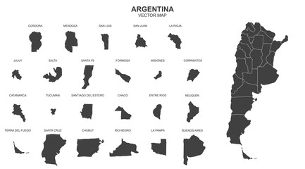 map of argentina on transparent backgroundfavorite_border favorite
 Physical map of Scandinavia, Northern Europe. Flattened satellite view of Planet Earth, its geography and topography. 3D illustration - Elements of this image furnished by NASAfavorite_border favorite
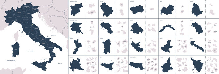 Vector color detailed map of Italy with administrative divisions of the country, each region is presented separately in-highly detailed and divided into provincesfavorite_border favorite
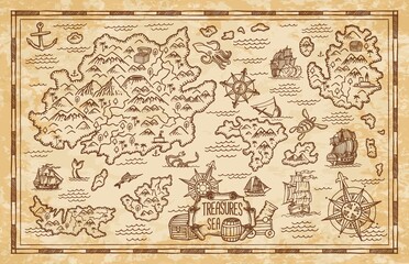 Old treasure map of pirate vector sketch with islands of Caribbean Sea, vintage nautical compass, pirate ships. Anchors, antique parchment, treasure chests and fantasy ocean monsters, adventure designfavorite_border favorite
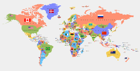 Color world map with the names of countries and national flags. Political map. Every country is isolated.favorite_border favorite
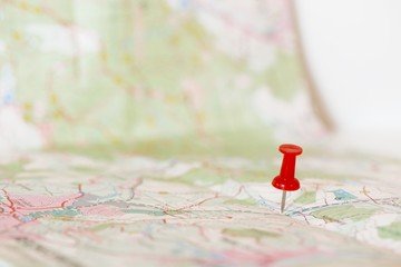 Single red pushpin marking a location on an open mapfavorite_border favorite
 polska, mapa, konturfavorite_border favorite
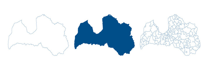 Latvia map vector. High detailed vector outline, blue silhouette and administrative divisions map of Latvia. All isolated on white background. Template for website, design, cover, infographicsfavorite_border favorite
 Happy and smiling traveling woman in scarf and hat hold map in hand among snowy trees in winter forestfavorite_border favorite
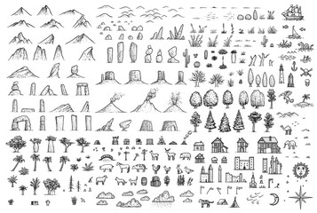 Fantasy map elements illustration, drawing, engraving, ink, line art, vectorfavorite_border favorite
 Pin location icon for map and navigationfavorite_border favorite
 Set pin map marker pointer icon, GPS location flat symbol, arrows and flag signs – vectorfavorite_border favorite
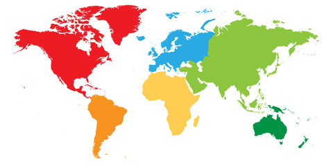 World map divided into six continents. Each continent in different color. Simple flat vector illustration.favorite_border favorite
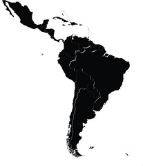 black silhouette map of latin america with country borders isolated on white background for graphic or print usefavorite_border favorite
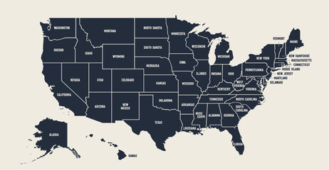 USA Map. Poster map of United States of America. Print of USA with name states, poster or geographic, political theme. Infographic graphic design print map of USA states. Vector Illustrationfavorite_border favorite
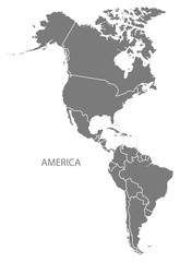 America with countries Map greyfavorite_border favorite
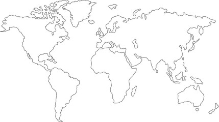 Abstract world map. Black outline silhouette on white background. Flat vector illustration. Background with Earth.favorite_border favorite
 World logistic delivery concept. Global export and import airlinnes. Smart airplane tracking. Ecommerce trade service infographic.favorite_border favorite
 World map from points. Outline world map and continents with dots on white background.favorite_border favorite
 pin or tag to indicate a location in PNG formatfavorite_border favorite
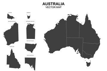 vector map of australia with borders of statesfavorite_border favorite
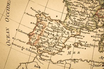 アンティークの古地図 イベリア半島favorite_border favorite
 Polska mapafavorite_border favorite
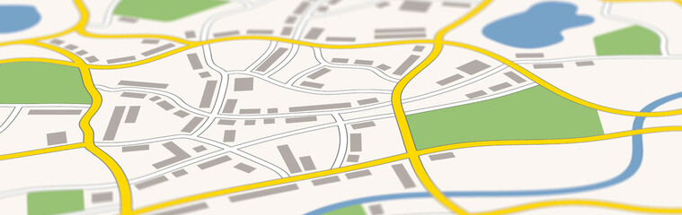 A generic city map bannerfavorite_border favorite
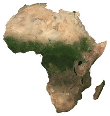 Large (97 MP) isolated satellite image of Africa. African continent from space. Detailed imagery / map of Africa in orthographic projection. Elements of this image furnished by NASA.favorite_border favorite
 Africa countries outline map from space, globe planet earth from space, elements of this image courtesy of NASAfavorite_border favorite
 Map of the city of Warsaw, Polandfavorite_border favorite
 Scalable vector map illustration of spain eps icon for general design projectsfavorite_border favorite
 Halftone world map with dot pattern, dot textured continents graphic map, black and white Earth infographic. Vector isolated template great for digital design.favorite_border favorite
 Location pin set. Map pin, pointer. Colour map pin vectorfavorite_border favorite
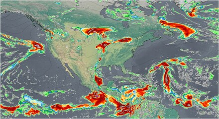 El mapa meteorológico muestra intensas precipitaciones en Norte America, destacando los importantes patrones de lluvia de la región.favorite_border favorite
 High detailed Multicolor Watercolor World Map with borders.favorite_border favorite
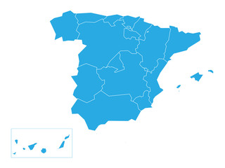 Spanish map devided to 17 administrative autonomous communities. Simple flat blue vector map.favorite_border favorite
 Urban city map of Warsaw, Polandfavorite_border favorite
 Set of location icons. Modern map markers .Vector illustration on a white background.favorite_border favorite
 mapa Polski flaga wyprodukowano w polsce PRODUKT POLSKI made in poland znak ikona symbol na opakowaniafavorite_border favorite
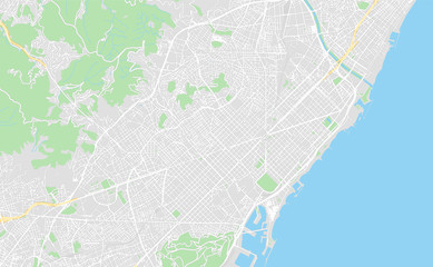 Barcelona, Spain, printable mapfavorite_border favorite
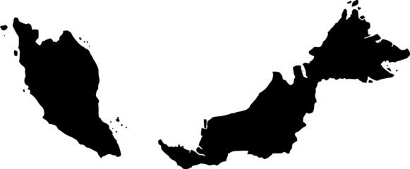 vector map of Malaysiafavorite_border favorite
 Engineer, people and hands with world map on screen for turbine location, power development and data analysis. Interactive display, teamwork and employee pointing to chart area for site selectionfavorite_border favorite
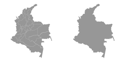 Colombia map with administrative divisions.favorite_border favorite
 white World map with shadow - vector illustration of earth map on transparent backgroundfavorite_border favorite
 United Kingdom mapfavorite_border favorite
 Mapa Polskifavorite_border favorite
 The route of the car on the device map. Traveling by car. Distance tracking. Vector illustrationfavorite_border favorite
 city mapfavorite_border favorite
 Detailed world map outline displaying political borders for geographical analysis and explorationfavorite_border favorite
 Red location pin icon – minimal map marker for GPS, navigation, travel, and place locator. Flat vector symbol for apps, address finding, and geolocation designfavorite_border favorite
 Dashboard theme creative infographic of city map navigation.favorite_border favorite
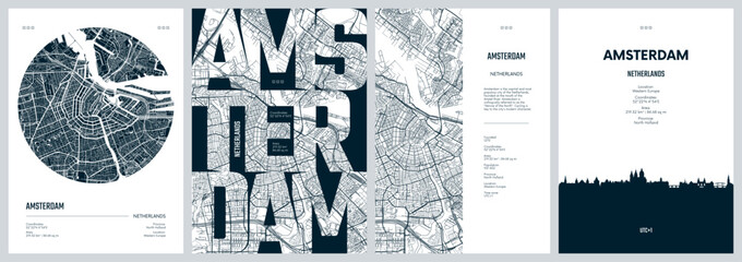 Set of travel posters with Amsterdam, detailed urban street plan city map, Silhouette city skyline, vector artworkfavorite_border favorite
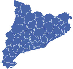 comarcas cataluña2favorite_border favorite
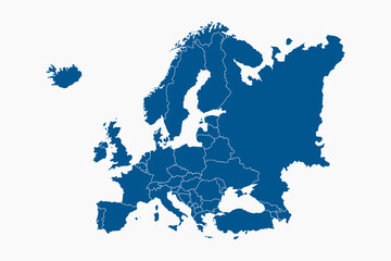 Blue Europe map with countries outline for presentations, posters, infographicsfavorite_border favorite
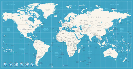 World map navy blue colors and glossy style globesfavorite_border favorite
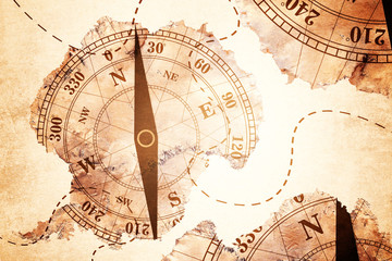 Antarctica map and Compass old paper Over White Background, Elements of this image furnished by NASA (Satellite map of Antarctica)favorite_border favorite
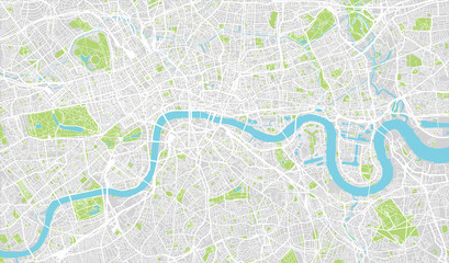 Urban city map of London, Englandfavorite_border favorite
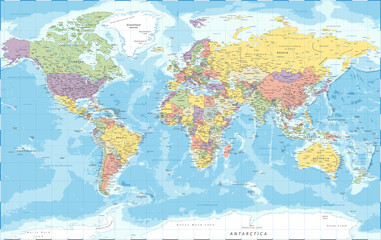 World Map - Political - Vector Detailed Illustrationfavorite_border favorite
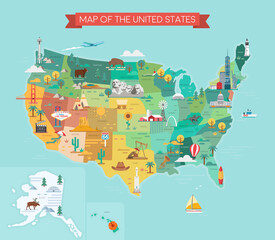 USA tourist map with famous landmarks and state names.favorite_border favorite
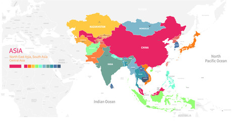 Colorful detailed vector map of the Asian country.favorite_border favorite
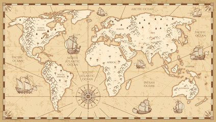 Vintage physical world map with rivers and mountains vector illustrationfavorite_border favorite
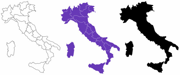 Italian Republic blank map setfavorite_border favorite
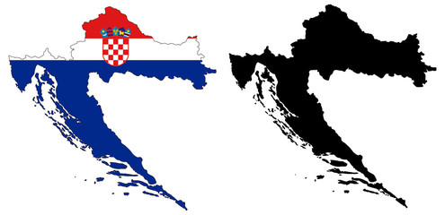 vector map and flag of croatiafavorite_border favorite
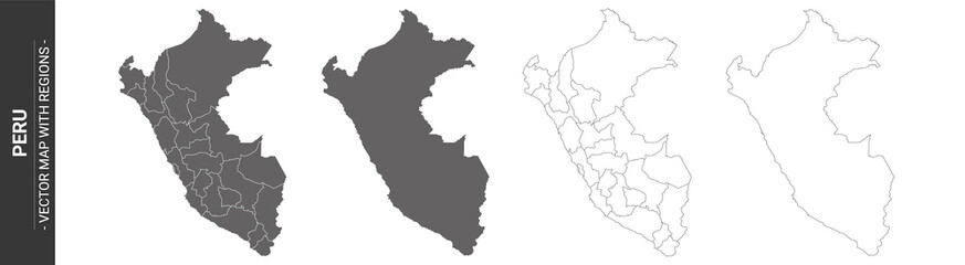 set of 4 political maps of Peru with regions isolated on white backgroundfavorite_border favorite
 one color grey world map isolated on transparent background. World vector illustrationfavorite_border favorite
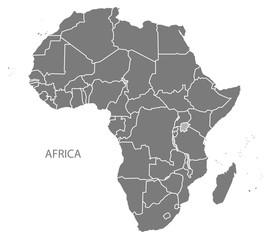 Africa Map with countries greyfavorite_border favorite
 Thailand map on white background vectorfavorite_border favorite
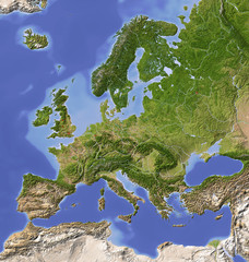 Shaded relief map of Europe, colored for vegetation.favorite_border favorite
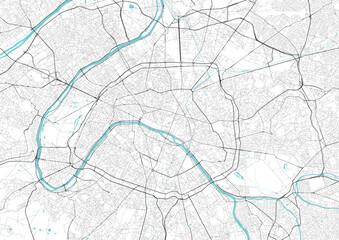 Street map art of Paris city in France. Road map of Paris. Black and white (blue) illustration of Parisian streets. France Printable poster.favorite_border favorite
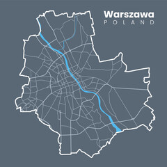 Detailed map of Warsaw - the capital of Poland - Urban borders map. Light stroke version on dark background of City poster with streets and Vistula River.favorite_border favorite
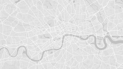 White and light grey London city area vector background map, streets and water cartography illustration.favorite_border favorite
 High resolution map of the USA with american flag. You can easily remove the shadows, or to fill in the map in a different color - clipping path included.favorite_border favorite
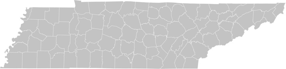 Tennessee vector map with county boundaries (Web Mercator projection, PPT-compatible & fully editable)favorite_border favorite
 grey world map vector illustrationfavorite_border favorite
 Modern Infographic Templatefavorite_border favorite
 Outline Illustration of the world (with country borders)favorite_border favorite
 Urban vector city map of Lodz, Polandfavorite_border favorite
 old mapfavorite_border favorite
 Map Location icon set. Containing pin, flag, GPS, destination, direction, distance, place, navigation, route, road, marker, address, position and more. Editable line icons. Vector illustration.favorite_border favorite
 Childish city map creator seamless pattern with different transport on road and house buildingfavorite_border favorite
 Earth photo at night, City Lights of Europe, Middle East, Turkey, Italy, Black Sea, Mediterrenian Sea from space, World map globe. Satellite HD photo. Elements of this image furnished by NASA.favorite_border favorite
 Editable vector file of the continental United States.favorite_border favorite
 Passport stamps of different visa country in form of world map. Travel, tourism and immigration concept background.favorite_border favorite
 3D Realistic Location map pin gps pointer markers vector illustration for destination.favorite_border favorite
 The stylized height of the topographic contour in lines and contours. Marine watershed. The concept of a conditional geography scheme and the water path. Vector illustration.favorite_border favorite
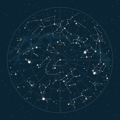 Northern hemisphere. High detailed star map of vector constellations. Astrological celestial map with symbols and signs of zodiacfavorite_border favorite
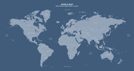 World map with marked countries, capital, border. high quality world map vector.favorite_border favorite
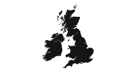 United kingdom silhouette map geographic representation of the british islesfavorite_border favorite
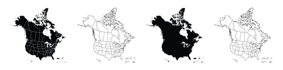 Detailed vector map of North America with states and provinces. Map of The USA and Canada: Detailed, Editable, Black, Transparent and White Versions.favorite_border favorite
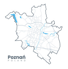 Urban Poznań map. Detailed map of Poznan, Poland. City poster with streets and Warta River. Light stroke version.favorite_border favorite
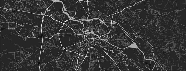 Urban city map of Wroclaw. Vector poster. Grayscale street map.favorite_border favorite
 Dotted path with points. isolated on white background. Vector illustration. EPS 10 .favorite_border favorite
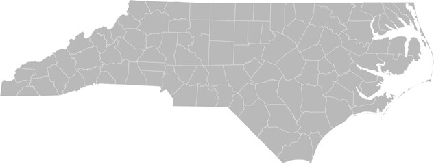 North Carolina vector map with county boundaries (Web Mercator projection, PPT-compatible & fully editable)favorite_border favorite
 world map silhouette in grey isolated on whitefavorite_border favorite
 世界地図 グラデーションfavorite_border favorite
 France country border map outline and silhouette vector graphic isolated image decalfavorite_border favorite
 Sa Kaeo, Thailand - composition. Satellitefavorite_border favorite
 Map of Africa formed of Connecting Dots Logo Designfavorite_border favorite
 Set of location pin icons. location pin place marker. Location icon. Map marker pointer icon set. Modern map markers. Pin icon vector isolated on white background. Vector illustration, eps 10.favorite_border favorite
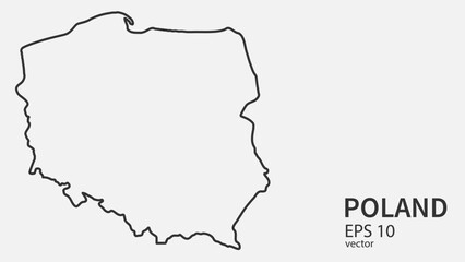 Vector line map of Poland. Vector design isolated on white background.favorite_border favorite
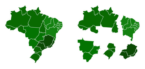 Mapa do Brasil e regiões com contorno vazadofavorite_border favorite
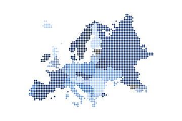 Map of Dotted Europe. Vector eps10.favorite_border favorite
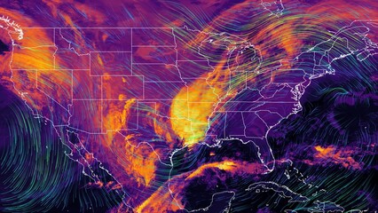 Satellite weather map over North America overlayed with wind streamlines. Satellite data provided by EUMETSAT.favorite_border favorite