-
El mapa meteorológico muestra intensas precipitaciones en Norte America, destacando los importantes patrones de lluvia de la región.
Do ulubionych favorite_border
Usuń z ulubionych favorite
-
Austria Map Silhouettes with National Flag and Country Outline
Do ulubionych favorite_border
Usuń z ulubionych favorite
-
Map location pin icon vector design illustration marker pointer symbol GPS navigation button label place sign travel internet business mark set 3D point
Do ulubionych favorite_border
Usuń z ulubionych favorite
-
Bolivia flag set. Set of flags in different shapes rectangle, circle, square vector
Do ulubionych favorite_border
Usuń z ulubionych favorite
-
Northern territory map silhouette, australia state outline, regions contour, borders shapes, modern design element set.
Do ulubionych favorite_border
Usuń z ulubionych favorite
-
Abstract wavy fluid background with grainy texture and neon gradient (cyan, blue, orange, red) on black. Vapor wave retro aesthetic, glowing swirl lines, heat map color palette.
Do ulubionych favorite_border
Usuń z ulubionych favorite
-
Macau city map in six style fill stock fill stock and line art variations for graphic design
Do ulubionych favorite_border
Usuń z ulubionych favorite
-
Abstract digital world map illustration created with square pixel grid patterns representing global internet communication, international data networks, and technology connection concepts.
Do ulubionych favorite_border
Usuń z ulubionych favorite
-
Focus on Manipur, India - Geopolitical Map Highlighting North East India.
Do ulubionych favorite_border
Usuń z ulubionych favorite
-
Map of the County McCook (South Dakota, US) showing the Federal State with the highlighted County
Do ulubionych favorite_border
Usuń z ulubionych favorite
-
Poland map outline and silhouette shape icon set Vector
Do ulubionych favorite_border
Usuń z ulubionych favorite
-
Location pin icon illustration minimal map marker vector used for navigation apps geotag pointer for place position marking and clean destination symbol design
Do ulubionych favorite_border
Usuń z ulubionych favorite
-
Macro View of Vintage Map Highlighting Washington State USA with Detailed Geographic Cartography
Do ulubionych favorite_border
Usuń z ulubionych favorite
-
Asia map with countries, vector illustration of the asian continent outline in different styles and colors on a transparent background
Do ulubionych favorite_border
Usuń z ulubionych favorite
-
Night planet earth from space with light lines of communication and connection. Business and finance, concept. Global communications system and the World Wide Web. Technologies and communications.
Do ulubionych favorite_border
Usuń z ulubionych favorite
-
Italy map – vector illustration of regions and political borders
Do ulubionych favorite_border
Usuń z ulubionych favorite
-
Vector illustration of the map of the state of Paraná.
Do ulubionych favorite_border
Usuń z ulubionych favorite
-
Route icon two points with dotted path and location pin. route location icon two pin sign and dotted line. travel from start point and dotted line tracing. vector illustration
Do ulubionych favorite_border
Usuń z ulubionych favorite
-
A dotted world map illustration in grayscale with continental outlines
Do ulubionych favorite_border
Usuń z ulubionych favorite
-
Black silhouette and outline map of france with corsica Vector
Do ulubionych favorite_border
Usuń z ulubionych favorite
-
World map projection is showing continents, oceans, ice caps in flat design, transparent background
Do ulubionych favorite_border
Usuń z ulubionych favorite
-
Aerial view of a colorful campus map with buildings and green spaces.
Do ulubionych favorite_border
Usuń z ulubionych favorite
-
Poland map icon. Poland border. Country flag sign. Europe geography. Vector illustration.
Do ulubionych favorite_border
Usuń z ulubionych favorite
-
USA map collection with state boundaries outline filled and solid silhouette styles in vector format. Detailed United States geographic maps including Alaska and Hawaii. Clean cartography design
Do ulubionych favorite_border
Usuń z ulubionych favorite
-
Brazil map outline and silhouette with state borders
Do ulubionych favorite_border
Usuń z ulubionych favorite
-
White Black Military Topographic Contour Map Vector Graphic Abstract Background. Topography Wavy Lines Pattern Modern Wide Abstraction. Outline Terrain Relief Cartography Geographical Map Illustration
Do ulubionych favorite_border
Usuń z ulubionych favorite
-
Blue location pin on a city map, blurred background
Do ulubionych favorite_border
Usuń z ulubionych favorite
-
Brazil map with the flag Colors Red and yellow Shaded relief map 3d illustration
Do ulubionych favorite_border
Usuń z ulubionych favorite
-
Location icon set with map, pin, navigation, distance, direction and address symbols in solid vector style.
Do ulubionych favorite_border
Usuń z ulubionych favorite
-
Young Woman Uses Software On Laptop
Do ulubionych favorite_border
Usuń z ulubionych favorite
-
Set of colorful transit map icons in flat vector style
Do ulubionych favorite_border
Usuń z ulubionych favorite
-
Bank Location icon vector image. Can be used for Banking and Finance.
Do ulubionych favorite_border
Usuń z ulubionych favorite
-
Stylized black halftone world map illustration on a clean white background, perfect for global business and technology designs.
Do ulubionych favorite_border
Usuń z ulubionych favorite
-
Equirectangular projection world map grey fill white borders without Antarctica global vector graphic geography silhouette shape national border design isolated transparent background atlas eps
Do ulubionych favorite_border
Usuń z ulubionych favorite
-
Do ulubionych favorite_border
Usuń z ulubionych favorite
-
USA political map vector set with detailed state outlines, blank and filled high contrast United States maps for infographic design, geographic visualization, education, data mapping, and graphic proj
Do ulubionych favorite_border
Usuń z ulubionych favorite
-
Abstract wavy topographic map. Abstract wavy and curved lines background. Abstract geometric topographic contour map background.
Do ulubionych favorite_border
Usuń z ulubionych favorite
-
Detroit Michigan Urban Map Grid Vector - Downtown Area Detailed
Do ulubionych favorite_border
Usuń z ulubionych favorite
-
Australia map icon series in black
Do ulubionych favorite_border
Usuń z ulubionych favorite
-
Fine Grain Textile Normal Map Surface
Do ulubionych favorite_border
Usuń z ulubionych favorite
-
world map continents outline drawing
Do ulubionych favorite_border
Usuń z ulubionych favorite
-
Worldwide map with dots in flat style. Dotted world map vector illustration on isolated background. Continent cartography sign business concept.
Do ulubionych favorite_border
Usuń z ulubionych favorite
-
India map with states names and location pins
Do ulubionych favorite_border
Usuń z ulubionych favorite
-
3d red map location pointer. Pin code icon of the geolocation map. Plastic cartoon style. Stock vector illustration on isolated background.
Do ulubionych favorite_border
Usuń z ulubionych favorite
-
Visual representation of china with different map styles and national flag elements
Do ulubionych favorite_border
Usuń z ulubionych favorite
-
World Map with Country Borders
Do ulubionych favorite_border
Usuń z ulubionych favorite
-
Vector illustration. Topographic map concept. Set of minimal square banners with retro graphics, marks, and trails. Line art pattern design on textured paper. Design for web banner, social media
Do ulubionych favorite_border
Usuń z ulubionych favorite
-
World map with highlighted continents and countries in grayscale
Do ulubionych favorite_border
Usuń z ulubionych favorite
-
Top down map elements with river grass trees and rocks for game design
Do ulubionych favorite_border
Usuń z ulubionych favorite
-
Tamil Nadu state map in orange – isolated flat vector graphic
Do ulubionych favorite_border
Usuń z ulubionych favorite
-
Stylized European Map for Data Visualization and Regional Analysis with Blue Tones
Do ulubionych favorite_border
Usuń z ulubionych favorite
-
abstract golden topography background. gold topo. seamless background.Abstract mountain terrain map background with abstract shape line texture.
Do ulubionych favorite_border
Usuń z ulubionych favorite
-
Location pin icon minimal map marker vector for navigation apps geotag pointer marking place and position symbol clean destination point sign pictogram design
Do ulubionych favorite_border
Usuń z ulubionych favorite
-
Map Location Pin Icon for Navigation, Destination, GPS, and Geographic Tracking - Vector Illustration
Do ulubionych favorite_border
Usuń z ulubionych favorite
-
United Kingdom Map Vector Illustration. Set of 4 political maps Flag Colors, Blue Silhouette UK Country Outline Isolated on Transperant Background.
Do ulubionych favorite_border
Usuń z ulubionych favorite
-
Earth planet in outer space. Europe from space. Night on planet with cities lights. Northern, Southern, Eastern, Western Europe at night viewed from space.
Do ulubionych favorite_border
Usuń z ulubionych favorite
-
Minimalist United States Map Outline Silhouette Set for Geographic Design Projects
Do ulubionych favorite_border
Usuń z ulubionych favorite
-
Mapa portugal com regiões e concelhos, distritos
Do ulubionych favorite_border
Usuń z ulubionych favorite
-
Folded maps navigation with red color point markers map. World travel pin location on a global map for travel tourism trip planning world tour. 3d rendering
Do ulubionych favorite_border
Usuń z ulubionych favorite
-
Germany map municipal, region, state division. Administrative borders, outline black on white background vector.
Do ulubionych favorite_border
Usuń z ulubionych favorite
-
Do ulubionych favorite_border
Usuń z ulubionych favorite
-
Map of Warszawa city. Roads
Do ulubionych favorite_border
Usuń z ulubionych favorite
-
Do ulubionych favorite_border
Usuń z ulubionych favorite
-
Stylized brown world map silhouette, minimalist earth continent outline, global geographic illustration for travel and educational design
Do ulubionych favorite_border
Usuń z ulubionych favorite
-
Vector color map of Tokyo, Japan. City Plan of Tokyo
Do ulubionych favorite_border
Usuń z ulubionych favorite
-
city map with Pin Pointers 3d rendering image
Do ulubionych favorite_border
Usuń z ulubionych favorite
-
Vintage Physical World Map-America Centered-Colors of Brown
Do ulubionych favorite_border
Usuń z ulubionych favorite
-
Earth globe set. World map in globe shape. Earth globes collection on isolated background. Flat style - stock vector.
Do ulubionych favorite_border
Usuń z ulubionych favorite
-
Airplane flight line paths going across blue world map - plane travel scheme
Do ulubionych favorite_border
Usuń z ulubionych favorite
-
Do ulubionych favorite_border
Usuń z ulubionych favorite
-
USA Empty 3d Geographic Map Abstract Levels Render
Do ulubionych favorite_border
Usuń z ulubionych favorite
-
Japan map with gray tone on white background,illustration,textured , Symbols of Japan
Do ulubionych favorite_border
Usuń z ulubionych favorite
-
Detailed gray world map on white. Vector illustration.
Do ulubionych favorite_border
Usuń z ulubionych favorite
-
Mainz, Germany downtown street map
Do ulubionych favorite_border
Usuń z ulubionych favorite
-
Monochrome city map with road network of Rome
Do ulubionych favorite_border
Usuń z ulubionych favorite
-
Do ulubionych favorite_border
Usuń z ulubionych favorite
-
Do ulubionych favorite_border
Usuń z ulubionych favorite
-
Abstract topographic map background
Do ulubionych favorite_border
Usuń z ulubionych favorite
-
Topographic map background geographic line map with elevation assignments. Modern design with White background with topographic wavy pattern design.paper texture Imitation of a geographical map shades
Do ulubionych favorite_border
Usuń z ulubionych favorite
-
World map. Highly detailed map of the world with detailed borders of all countries, cities, regions and bodies of water in blue tones.
Do ulubionych favorite_border
Usuń z ulubionych favorite
-
Do ulubionych favorite_border
Usuń z ulubionych favorite
-
businessman lost in field using a map
Do ulubionych favorite_border
Usuń z ulubionych favorite
-
Aerial view city map Berlin, monochrome detailed plan, urban grid in perspective
Do ulubionych favorite_border
Usuń z ulubionych favorite
-
Location Spain. Red pin on the map.
Do ulubionych favorite_border
Usuń z ulubionych favorite
-
Urban Cracow map. Detailed map of Kraków (Cracovia), Poland. City poster with streets and Wisła (Vistula) River. Dark fill version.
Do ulubionych favorite_border
Usuń z ulubionych favorite
-
World map in grey color on white background. High detail blank political map. Vector illustration with labeled compound path of each country.
Do ulubionych favorite_border
Usuń z ulubionych favorite
-
Rest in the park map infographic elements in flat vector design. People spend time relax in nature. Men, women and children rest, jog, ride the bicycle, skateboard. Park map with tree, lamp, bench
Do ulubionych favorite_border
Usuń z ulubionych favorite
-
Do ulubionych favorite_border
Usuń z ulubionych favorite
-
Earth at night, city lights showing human activity in Europe from space. Elements of this image furnished by NASA.
Do ulubionych favorite_border
Usuń z ulubionych favorite
-
Vector Pirate Treasure Map
Do ulubionych favorite_border
Usuń z ulubionych favorite
-
Map of Europe with countries. Just a simple continent border map with country division. Light blue color palette. Plain Europe shape with administrative division. Vector illustration.
Do ulubionych favorite_border
Usuń z ulubionych favorite
-
Poland, relief map, colored according to elevation
Do ulubionych favorite_border
Usuń z ulubionych favorite
-
City map generator. City map example. Elements for creating your
Do ulubionych favorite_border
Usuń z ulubionych favorite
-
Do ulubionych favorite_border
Usuń z ulubionych favorite
-
World Map Political - vector illustration. Highly detailed map of the world: countries, cities, water objects
Do ulubionych favorite_border
Usuń z ulubionych favorite
-
Europe political map High detail color vector atlas with capitals, cities, towns names, seas, rivers and lakes High resolution map of Europe in Mercator projection
Do ulubionych favorite_border
Usuń z ulubionych favorite
-
Old vintage parchment map, antique papyrus cartography treasure illustration, fantasy game paper. Medieval geography kingdom art, castle, wind rose, mountains, ruin. Pirate old dirty map on white
Do ulubionych favorite_border
Usuń z ulubionych favorite
-
australia map design vector illustration on white backfround.
Do ulubionych favorite_border
Usuń z ulubionych favorite
-
Poland, satellite B - dark glow
Do ulubionych favorite_border
Usuń z ulubionych favorite
-
Do ulubionych favorite_border
Usuń z ulubionych favorite
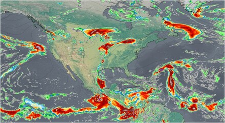 El mapa meteorológico muestra intensas precipitaciones en Norte America, destacando los importantes patrones de lluvia de la región.favorite_border favorite
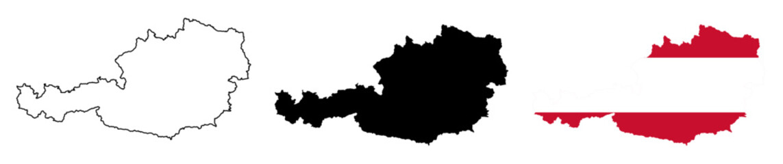 Austria Map Silhouettes with National Flag and Country Outlinefavorite_border favorite
 Map location pin icon vector design illustration marker pointer symbol GPS navigation button label place sign travel internet business mark set 3D pointfavorite_border favorite
 Bolivia flag set. Set of flags in different shapes rectangle, circle, square vectorfavorite_border favorite
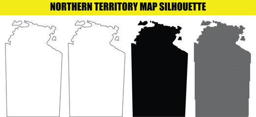 Northern territory map silhouette, australia state outline, regions contour, borders shapes, modern design element set.favorite_border favorite
 Abstract wavy fluid background with grainy texture and neon gradient (cyan, blue, orange, red) on black. Vapor wave retro aesthetic, glowing swirl lines, heat map color palette.favorite_border favorite
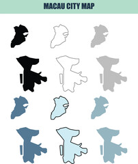 Macau city map in six style fill stock fill stock and line art variations for graphic designfavorite_border favorite
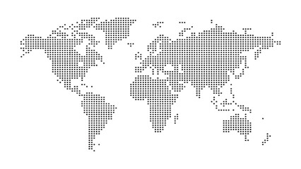 Abstract digital world map illustration created with square pixel grid patterns representing global internet communication, international data networks, and technology connection concepts.favorite_border favorite
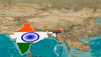 Focus on Manipur, India - Geopolitical Map Highlighting North East India.favorite_border favorite
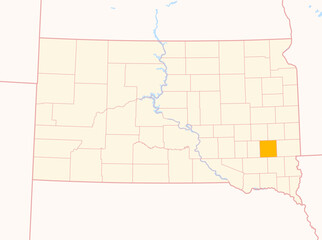 Map of the County McCook (South Dakota, US) showing the Federal State with the highlighted Countyfavorite_border favorite
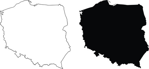 Poland map outline and silhouette shape icon set Vectorfavorite_border favorite
 Location pin icon illustration minimal map marker vector used for navigation apps geotag pointer for place position marking and clean destination symbol designfavorite_border favorite
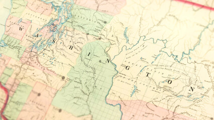 Macro View of Vintage Map Highlighting Washington State USA with Detailed Geographic Cartographyfavorite_border favorite
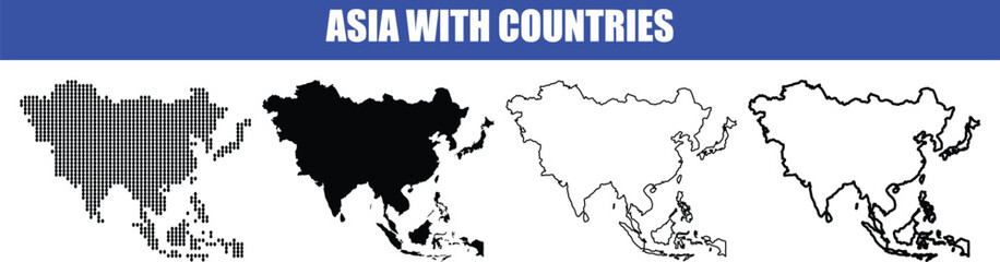 Asia map with countries, vector illustration of the asian continent outline in different styles and colors on a transparent backgroundfavorite_border favorite
 Night planet earth from space with light lines of communication and connection. Business and finance, concept. Global communications system and the World Wide Web. Technologies and communications.favorite_border favorite
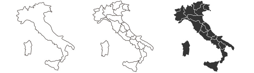 Italy map – vector illustration of regions and political bordersfavorite_border favorite
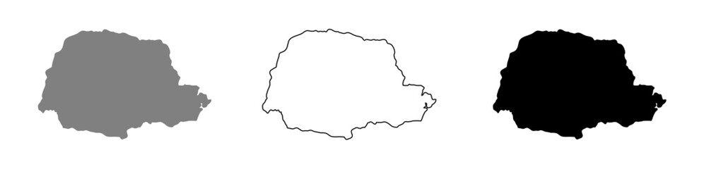 Vector illustration of the map of the state of Paraná.favorite_border favorite
 Route icon two points with dotted path and location pin. route location icon two pin sign and dotted line. travel from start point and dotted line tracing. vector illustrationfavorite_border favorite
 A dotted world map illustration in grayscale with continental outlinesfavorite_border favorite
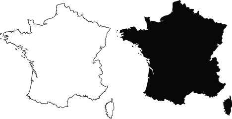 Black silhouette and outline map of france with corsica Vectorfavorite_border favorite
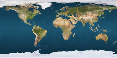 World map projection is showing continents, oceans, ice caps in flat design, transparent backgroundfavorite_border favorite
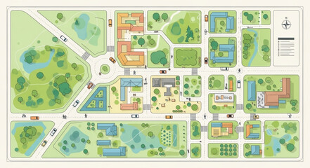 Aerial view of a colorful campus map with buildings and green spaces.favorite_border favorite
 Poland map icon. Poland border. Country flag sign. Europe geography. Vector illustration.favorite_border favorite
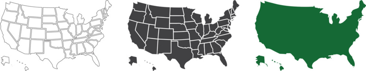 USA map collection with state boundaries outline filled and solid silhouette styles in vector format. Detailed United States geographic maps including Alaska and Hawaii. Clean cartography designfavorite_border favorite
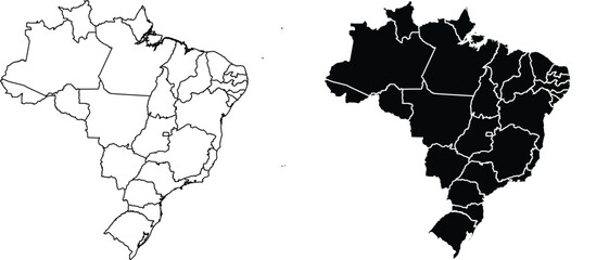 Brazil map outline and silhouette with state bordersfavorite_border favorite
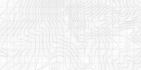 White Black Military Topographic Contour Map Vector Graphic Abstract Background. Topography Wavy Lines Pattern Modern Wide Abstraction. Outline Terrain Relief Cartography Geographical Map Illustrationfavorite_border favorite
 Blue location pin on a city map, blurred backgroundfavorite_border favorite
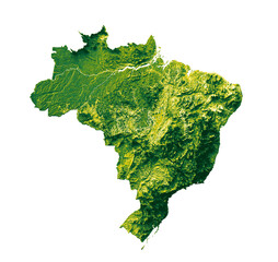 Brazil map with the flag Colors Red and yellow Shaded relief map 3d illustrationfavorite_border favorite
 Location icon set with map, pin, navigation, distance, direction and address symbols in solid vector style.favorite_border favorite
 Young Woman Uses Software On Laptopfavorite_border favorite
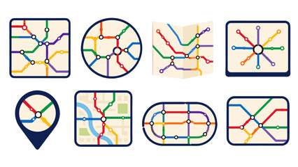 Set of colorful transit map icons in flat vector stylefavorite_border favorite
 Bank Location icon vector image. Can be used for Banking and Finance.favorite_border favorite
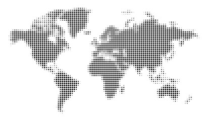 Stylized black halftone world map illustration on a clean white background, perfect for global business and technology designs.favorite_border favorite
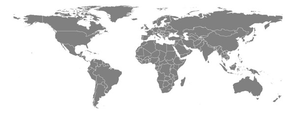 Equirectangular projection world map grey fill white borders without Antarctica global vector graphic geography silhouette shape national border design isolated transparent background atlas epsfavorite_border favorite
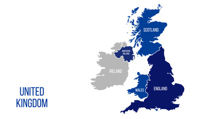 United Kingdom mapfavorite_border favorite
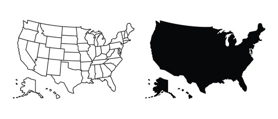 USA political map vector set with detailed state outlines, blank and filled high contrast United States maps for infographic design, geographic visualization, education, data mapping, and graphic projfavorite_border favorite
 Abstract wavy topographic map. Abstract wavy and curved lines background. Abstract geometric topographic contour map background.favorite_border favorite
 Detroit Michigan Urban Map Grid Vector - Downtown Area Detailedfavorite_border favorite
 Australia map icon series in blackfavorite_border favorite
 Fine Grain Textile Normal Map Surfacefavorite_border favorite
 world map continents outline drawingfavorite_border favorite
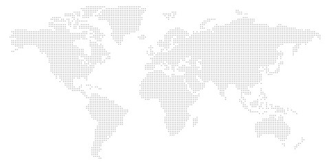 Worldwide map with dots in flat style. Dotted world map vector illustration on isolated background. Continent cartography sign business concept.favorite_border favorite
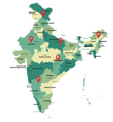 India map with states names and location pinsfavorite_border favorite
 3d red map location pointer. Pin code icon of the geolocation map. Plastic cartoon style. Stock vector illustration on isolated background.favorite_border favorite
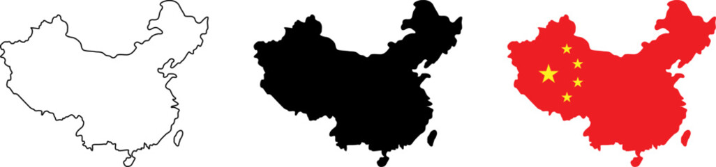 Visual representation of china with different map styles and national flag elementsfavorite_border favorite
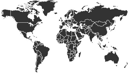 World Map with Country Bordersfavorite_border favorite
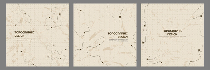 Vector illustration. Topographic map concept. Set of minimal square banners with retro graphics, marks, and trails. Line art pattern design on textured paper. Design for web banner, social mediafavorite_border favorite
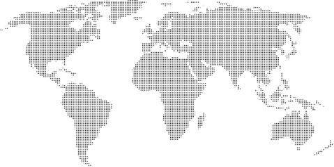 World map with highlighted continents and countries in grayscalefavorite_border favorite
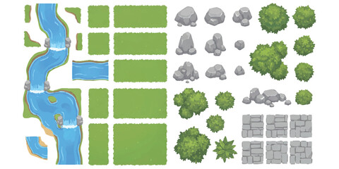 Top down map elements with river grass trees and rocks for game designfavorite_border favorite
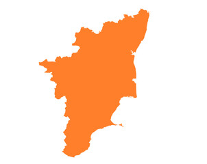 Tamil Nadu state map in orange – isolated flat vector graphicfavorite_border favorite
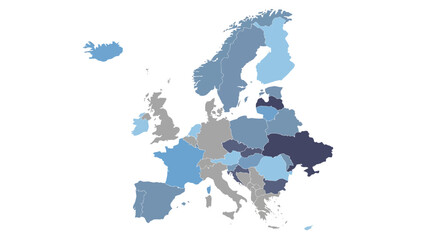 Stylized European Map for Data Visualization and Regional Analysis with Blue Tonesfavorite_border favorite
 abstract golden topography background. gold topo. seamless background.Abstract mountain terrain map background with abstract shape line texture.favorite_border favorite
 Location pin icon minimal map marker vector for navigation apps geotag pointer marking place and position symbol clean destination point sign pictogram designfavorite_border favorite
 Map Location Pin Icon for Navigation, Destination, GPS, and Geographic Tracking - Vector Illustrationfavorite_border favorite
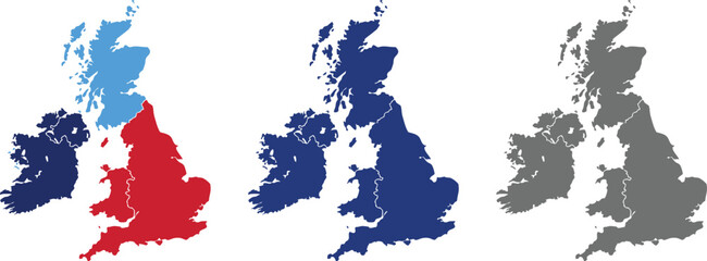 United Kingdom Map Vector Illustration. Set of 4 political maps Flag Colors, Blue Silhouette UK Country Outline Isolated on Transperant Background.favorite_border favorite
 Earth planet in outer space. Europe from space. Night on planet with cities lights. Northern, Southern, Eastern, Western Europe at night viewed from space.favorite_border favorite
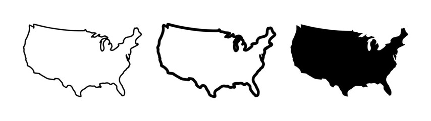 Minimalist United States Map Outline Silhouette Set for Geographic Design Projectsfavorite_border favorite
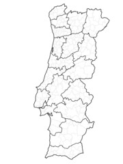 Mapa portugal com regiões e concelhos, distritosfavorite_border favorite
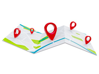 Folded maps navigation with red color point markers map. World travel pin location on a global map for travel tourism trip planning world tour. 3d renderingfavorite_border favorite
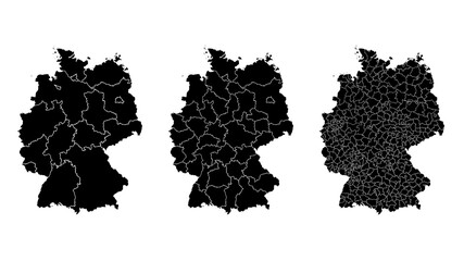 Germany map municipal, region, state division. Administrative borders, outline black on white background vector.favorite_border favorite
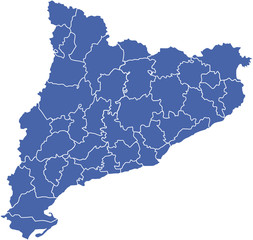 comarcas cataluña2favorite_border favorite
 Map of Warszawa city. Roadsfavorite_border favorite
 map iconfavorite_border favorite
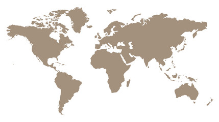 Stylized brown world map silhouette, minimalist earth continent outline, global geographic illustration for travel and educational designfavorite_border favorite
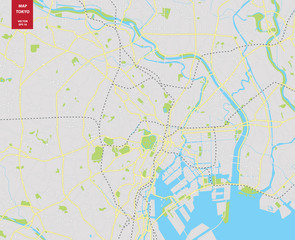 Vector color map of Tokyo, Japan. City Plan of Tokyofavorite_border favorite
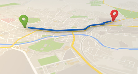 city map with Pin Pointers 3d rendering imagefavorite_border favorite
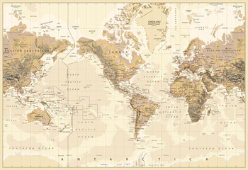 Vintage Physical World Map-America Centered-Colors of Brownfavorite_border favorite
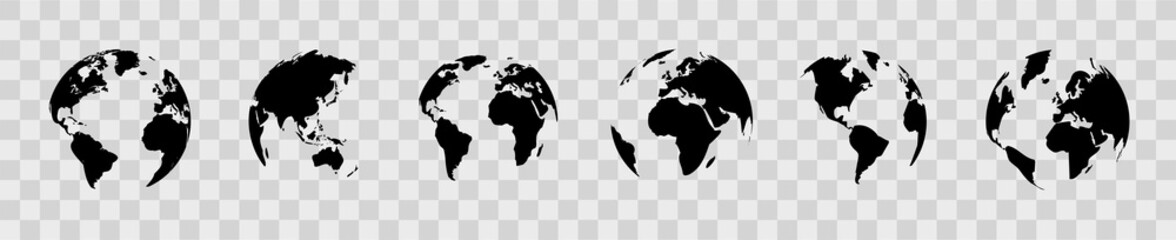 Earth globe set. World map in globe shape. Earth globes collection on isolated background. Flat style - stock vector.favorite_border favorite
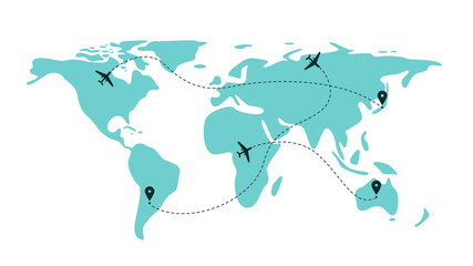 Airplane flight line paths going across blue world map - plane travel schemefavorite_border favorite
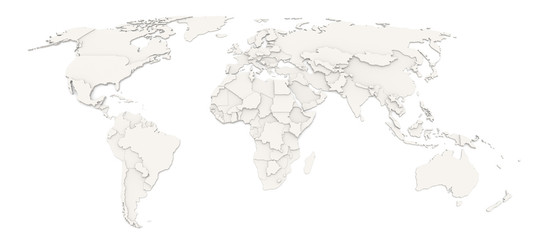 3D map of the worldfavorite_border favorite
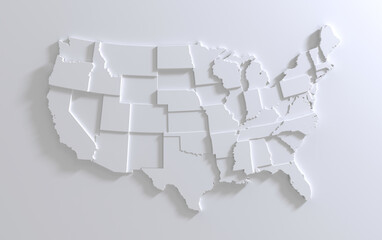 USA Empty 3d Geographic Map Abstract Levels Renderfavorite_border favorite
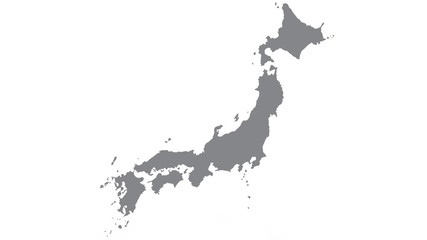 Japan map with gray tone on white background,illustration,textured , Symbols of Japanfavorite_border favorite
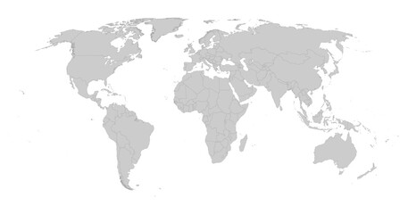 Detailed gray world map on white. Vector illustration.favorite_border favorite
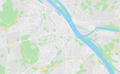 Mainz, Germany downtown street mapfavorite_border favorite
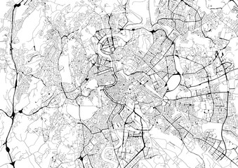 Monochrome city map with road network of Romefavorite_border favorite
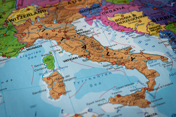 kolorowa mapa Włochfavorite_border favorite
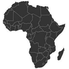 Detailed map of africafavorite_border favorite
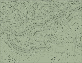 Abstract topographic map backgroundfavorite_border favorite
 Topographic map background geographic line map with elevation assignments. Modern design with White background with topographic wavy pattern design.paper texture Imitation of a geographical map shadesfavorite_border favorite
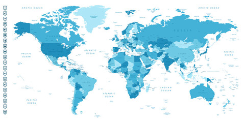 World map. Highly detailed map of the world with detailed borders of all countries, cities, regions and bodies of water in blue tones.favorite_border favorite
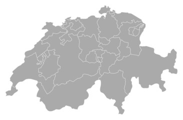 Map of Swizerlandfavorite_border favorite
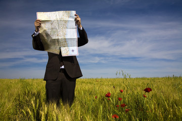 businessman lost in field using a mapfavorite_border favorite
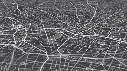 Aerial view city map Berlin, monochrome detailed plan, urban grid in perspectivefavorite_border favorite
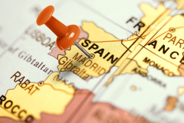 Location Spain. Red pin on the map.favorite_border favorite
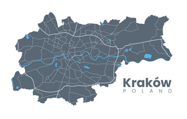 Urban Cracow map. Detailed map of Kraków (Cracovia), Poland. City poster with streets and Wisła (Vistula) River. Dark fill version.favorite_border favorite
 World map in grey color on white background. High detail blank political map. Vector illustration with labeled compound path of each country.favorite_border favorite
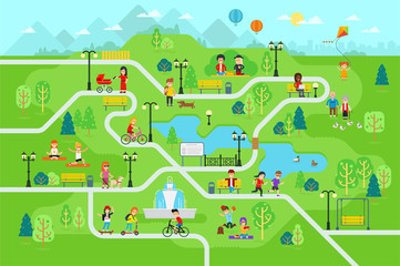 Rest in the park map infographic elements in flat vector design. People spend time relax in nature. Men, women and children rest, jog, ride the bicycle, skateboard. Park map with tree, lamp, benchfavorite_border favorite
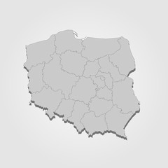 Landkarte Polen in graufavorite_border favorite
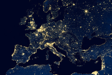 Earth at night, city lights showing human activity in Europe from space. Elements of this image furnished by NASA.favorite_border favorite
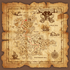 Vector Pirate Treasure Mapfavorite_border favorite
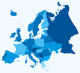 Map of Europe with countries. Just a simple continent border map with country division. Light blue color palette. Plain Europe shape with administrative division. Vector illustration.favorite_border favorite
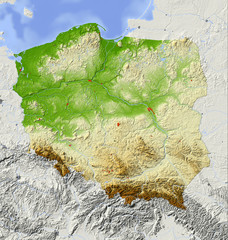 Poland, relief map, colored according to elevationfavorite_border favorite
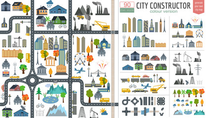 City map generator. City map example. Elements for creating yourfavorite_border favorite
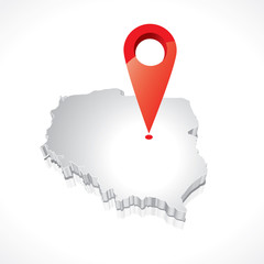 Map of Poland 3Dfavorite_border favorite
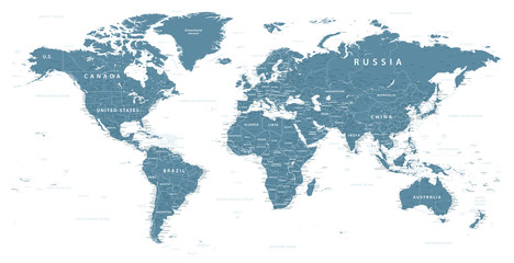 World Map Political - vector illustration. Highly detailed map of the world: countries, cities, water objectsfavorite_border favorite
 Europe political map High detail color vector atlas with capitals, cities, towns names, seas, rivers and lakes High resolution map of Europe in Mercator projectionfavorite_border favorite
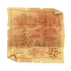 Old vintage parchment map, antique papyrus cartography treasure illustration, fantasy game paper. Medieval geography kingdom art, castle, wind rose, mountains, ruin. Pirate old dirty map on whitefavorite_border favorite
 australia map design vector illustration on white backfround.favorite_border favorite
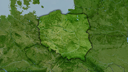 Poland, satellite B - dark glowfavorite_border favorite
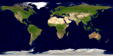 Erde mit Ländergrenzenfavorite_border favorite