-
Abstract mesh line and point scales on dark background with map Of Spain. Wire frame 3D mesh polygonal network line, design sphere, dot and structure. Vector illustration eps 10.
Do ulubionych favorite_border
Usuń z ulubionych favorite
-
Do ulubionych favorite_border
Usuń z ulubionych favorite
-
Do ulubionych favorite_border
Usuń z ulubionych favorite
-
Do ulubionych favorite_border
Usuń z ulubionych favorite
-
日本地図 素材 高品質 高精細 線画 白地図 日本列島
Do ulubionych favorite_border
Usuń z ulubionych favorite
-
City map with some location tags
Do ulubionych favorite_border
Usuń z ulubionych favorite
-
Black outline map of World. Simple vector illustration.
Do ulubionych favorite_border
Usuń z ulubionych favorite
-
Do ulubionych favorite_border
Usuń z ulubionych favorite
-
old nautical treasure map background
Do ulubionych favorite_border
Usuń z ulubionych favorite
-
Set of abstract tree rings. Vector topographic map design elements. Contour map concept. Thin wavy lines.
Do ulubionych favorite_border
Usuń z ulubionych favorite
-
White wave paper curved reliefs abstract background, Abstract topographic contours map background, Vector contour topographic map background. Topography and geography map grid abstract backdrop.
Do ulubionych favorite_border
Usuń z ulubionych favorite
-
World map sketch for coloring
Do ulubionych favorite_border
Usuń z ulubionych favorite
-
USA map with states isolated on a white background. United States of America map. Vector illustration, United States of American Map transparent background.
Do ulubionych favorite_border
Usuń z ulubionych favorite
-
world standard time zones vector map
Do ulubionych favorite_border
Usuń z ulubionych favorite
-
Area map of Kraków, Poland
Do ulubionych favorite_border
Usuń z ulubionych favorite
-
USA states map outline. Country map United States of America. US states borders silhouettes.
Do ulubionych favorite_border
Usuń z ulubionych favorite
-
Outline and solid black silhouette maps of the African continent
Do ulubionych favorite_border
Usuń z ulubionych favorite
-
World Map with Highlighted Country Borders Vector Illustration
Do ulubionych favorite_border
Usuń z ulubionych favorite
-
United States map with state borders and Alaska Hawaii
Do ulubionych favorite_border
Usuń z ulubionych favorite
-
City town map seamless pattern plan with streets and roads. Vector grayscale abstract map with street layouts, intersections and urban details. Modern, minimalistic background, urban planning project
Do ulubionych favorite_border
Usuń z ulubionych favorite
-
Modern world map with shadow and capital name. vector.
Do ulubionych favorite_border
Usuń z ulubionych favorite
-
Urban vector city map of Katowice, Poland
Do ulubionych favorite_border
Usuń z ulubionych favorite
-
Connected map of Europe vector illustration background – European Union concept: cooperation, technology, digitalization, future
Do ulubionych favorite_border
Usuń z ulubionych favorite
-
Mediterranean Sea Region countries political map with national borders. South Europe, North Africa and Near East with national borders. English labeling and scaling. Illustration.
Do ulubionych favorite_border
Usuń z ulubionych favorite
-
Do ulubionych favorite_border
Usuń z ulubionych favorite
-
City map with some location tags
Do ulubionych favorite_border
Usuń z ulubionych favorite
-
USA map with states isolated on a white background. Vector illustration of the map of the United States of America, AI-Generated Vector
Do ulubionych favorite_border
Usuń z ulubionych favorite
-
3d map of world Template for your design
Do ulubionych favorite_border
Usuń z ulubionych favorite
-
Do ulubionych favorite_border
Usuń z ulubionych favorite
-
Do ulubionych favorite_border
Usuń z ulubionych favorite
-
Political Physical Topographic Colored World Map Pacific Centered
Do ulubionych favorite_border
Usuń z ulubionych favorite
-
World map silhouette on transparent background
Do ulubionych favorite_border
Usuń z ulubionych favorite
-
USA Map. Poster map of United States of America. Infographic design, USA with states, poster or geographic, political theme. Print map of USA states, silhouettes outline. Vector Illustration
Do ulubionych favorite_border
Usuń z ulubionych favorite
-
Set of Cyprus map isolated on white background, vector illustration design
Do ulubionych favorite_border
Usuń z ulubionych favorite
-
Vector modern illustration. Simplified geographical map of Poland (in blue colors) and neighboring countries (Germany, Czech Republic, Ukraine and etc. in grey). Names of Polish cities and provinces.
Do ulubionych favorite_border
Usuń z ulubionych favorite
-
Area map of Warsaw, Poland
Do ulubionych favorite_border
Usuń z ulubionych favorite
-
Locator position point. GPS tracking system to navigate around the city landmarks. Detailed city street map with directions to different locations. Vector illustration
Do ulubionych favorite_border
Usuń z ulubionych favorite
-
Map of Asia Pacific. - Vector illustration
Do ulubionych favorite_border
Usuń z ulubionych favorite
-
Do ulubionych favorite_border
Usuń z ulubionych favorite
-
australia map icon, outline and silhouette of the australian continent
Do ulubionych favorite_border
Usuń z ulubionych favorite
-
Colombia map with shapes of regions. Blank vector map of the country with regions. Borders of the country for your infographic. Vector illustration.
Do ulubionych favorite_border
Usuń z ulubionych favorite
-
Urban vector city map of Rotterdam, The Netherlands
Do ulubionych favorite_border
Usuń z ulubionych favorite
-
Antique bronze emblem compass on a retro world map vintage style.
Do ulubionych favorite_border
Usuń z ulubionych favorite
-
Seven continents map with national borders. Asia, Africa, North and South America, Antarctica, Europe and Australia. Detailed map under Robinson projection and English labeling on white background.
Do ulubionych favorite_border
Usuń z ulubionych favorite
-
Illustration and pictogram of gray hatched map of the world on a transparent background.
Do ulubionych favorite_border
Usuń z ulubionych favorite
-
United States of America map
Do ulubionych favorite_border
Usuń z ulubionych favorite
-
Map of the Germany in gray on a white background
Do ulubionych favorite_border
Usuń z ulubionych favorite
-
Planet Earth geography map set
Do ulubionych favorite_border
Usuń z ulubionych favorite
-
Terrain map. Contours trails, image grid geographic relief topographic contour line maps cartography texture, vector illustration
Do ulubionych favorite_border
Usuń z ulubionych favorite
-
City map navigational template
Do ulubionych favorite_border
Usuń z ulubionych favorite
-
Основные RGBGreat city map creator.Seamless pattern map
Do ulubionych favorite_border
Usuń z ulubionych favorite
-
Elevation geodetic map of the mountainous region of the western highlands of Vietnam. BLACK AND WHITE GEOGRAPHIC BACKGROUND STYLE WITH STRONG CONTRAST COLORS SHOWING TEMPERATURE
Do ulubionych favorite_border
Usuń z ulubionych favorite
-
set of 4 political maps of Czech Republic with regions isolated on white background
Do ulubionych favorite_border
Usuń z ulubionych favorite
-
Political Europe Map vector illustration isolated on white background. Editable and clearly labeled layers.
Do ulubionych favorite_border
Usuń z ulubionych favorite
-
doodle freehand drawing of europe map.
Do ulubionych favorite_border
Usuń z ulubionych favorite
-
Outline of the map of Asia Continent
Do ulubionych favorite_border
Usuń z ulubionych favorite
-
World map with animals in water and on earth. Geography and fauna of planet. Wildlife, nature for kids.Continents, oceans, mammals and fishes for preschool children. Colored flat vector illustration
Do ulubionych favorite_border
Usuń z ulubionych favorite
-
Do ulubionych favorite_border
Usuń z ulubionych favorite
-
Print. World map with animals and architectural landmarks for kids. Eurasia, Africa, South America, North America, Australia. Cartoon animals.
Do ulubionych favorite_border
Usuń z ulubionych favorite
-
Vector map of Poland. Country map with division, cities and capital Warsaw. Political map, world map, infographic elements.
Do ulubionych favorite_border
Usuń z ulubionych favorite
-
North and South America map
Do ulubionych favorite_border
Usuń z ulubionych favorite
-
Vector city map of Austin, Texas.
Do ulubionych favorite_border
Usuń z ulubionych favorite
-
World Map, Very high resolution world map, isolated on white background. Infographic, Flat Earth, Globe similar world map icon. annual report, Travel worldwide, map silhouette.
Do ulubionych favorite_border
Usuń z ulubionych favorite
-
Pirate treasure map of skull island vector sketch
Do ulubionych favorite_border
Usuń z ulubionych favorite
-
Vector Map of North America and Central America
Do ulubionych favorite_border
Usuń z ulubionych favorite
-
Abstract map of Spain with red circle lines
Do ulubionych favorite_border
Usuń z ulubionych favorite
-
Map of Poland in gray on a white background
Do ulubionych favorite_border
Usuń z ulubionych favorite
-
World Map Isolated on White Background in Gray Color. Vector Illustration
Do ulubionych favorite_border
Usuń z ulubionych favorite
-
Miniature tourists in China. Color tone tuned.
Do ulubionych favorite_border
Usuń z ulubionych favorite
-
Vintage map of India and Southeast Asia, printed in 1750.
Do ulubionych favorite_border
Usuń z ulubionych favorite
-
Map mobile app planning travel. Isometric map. City map route, location symbols and navigational system mark. Vector, illustration isolated on white background.
Do ulubionych favorite_border
Usuń z ulubionych favorite
-
Vector map of Peru. Attraction. Historical places. Tourism. Cities. Guide. South America. Andean Mountains. Cordillera. Lima. Machu Picchu. Sacred Valley of the Incas. Titicaca. Amazonia. Nazca.
Do ulubionych favorite_border
Usuń z ulubionych favorite
-
vector illustration of simple abstract map of Finland
Do ulubionych favorite_border
Usuń z ulubionych favorite
-
Do ulubionych favorite_border
Usuń z ulubionych favorite
-
England map icon. English country border symbol. UK geography signs. Europe symbols. British kingdom icons. Black color. Vector sign.
Do ulubionych favorite_border
Usuń z ulubionych favorite
-
Vintage map of Kraków, Poland.
Do ulubionych favorite_border
Usuń z ulubionych favorite
-
Outlined People's Republic of China map country silhouette in national flag style vector drawing template for your design.
Do ulubionych favorite_border
Usuń z ulubionych favorite
-
Mapa portugal com regiões e concelhos, distritos
Do ulubionych favorite_border
Usuń z ulubionych favorite
-
Australia map, Australia country vector map in white background.Australia map background with states.Australia political map. High detailed. Solid simple style. Black and white. Vector editable.
Do ulubionych favorite_border
Usuń z ulubionych favorite
-
Travel poster, urban street plan city map Warsaw and Krakow, vector illustration
Do ulubionych favorite_border
Usuń z ulubionych favorite
-
Hand-drawn map illustration, Travel element, Adventure theme
Do ulubionych favorite_border
Usuń z ulubionych favorite
-
Urban vector city map of Pittsburgh, Pennsylvania, United States of America
Do ulubionych favorite_border
Usuń z ulubionych favorite
-
Do ulubionych favorite_border
Usuń z ulubionych favorite
-
Dotted Map Vector High Quality World Map Illustration Editable Digital Download
Do ulubionych favorite_border
Usuń z ulubionych favorite
-
A generic city map with icons
Do ulubionych favorite_border
Usuń z ulubionych favorite
-
High Quality map of Warsaw is a capital Poland, with borders of the districts. Map of Warsaw for your web site design, app, UI. EPS10.
Do ulubionych favorite_border
Usuń z ulubionych favorite
-
Do ulubionych favorite_border
Usuń z ulubionych favorite
-
Topographic map patterns, topography line map. Outdoor vector background
Do ulubionych favorite_border
Usuń z ulubionych favorite
-
World map showing country borders. Gray world map isolated with border. Vector stock illustration.
Do ulubionych favorite_border
Usuń z ulubionych favorite
-
Earth's city lights political map
Do ulubionych favorite_border
Usuń z ulubionych favorite
-
World map of hexagon dots, led uppercase English alphabet, vector illustration
Do ulubionych favorite_border
Usuń z ulubionych favorite
-
3d illustration, Middle east region map with Iran. Map of Iran a symbol of conflict
Do ulubionych favorite_border
Usuń z ulubionych favorite
-
set of 4 political maps of United Kingdom with regions isolated on white background
Do ulubionych favorite_border
Usuń z ulubionych favorite
-
Blank similar USA map isolated on white background. United States of America usa country. Vector template usa for website, design, cover, infographics. Graph illustration.
Do ulubionych favorite_border
Usuń z ulubionych favorite
-
High resolution flat world map in summer
Do ulubionych favorite_border
Usuń z ulubionych favorite
-
Map of South Korea and North Korea divided by administrative districts.3D Rendering.
Do ulubionych favorite_border
Usuń z ulubionych favorite
-
geological map as a background close-up in green colors
Do ulubionych favorite_border
Usuń z ulubionych favorite
-
blue world map connection
Do ulubionych favorite_border
Usuń z ulubionych favorite
-
Do ulubionych favorite_border
Usuń z ulubionych favorite
-
Do ulubionych favorite_border
Usuń z ulubionych favorite
 Abstract mesh line and point scales on dark background with map Of Spain. Wire frame 3D mesh polygonal network line, design sphere, dot and structure. Vector illustration eps 10.favorite_border favorite
 city map.favorite_border favorite
 Singapore mapfavorite_border favorite
 świat raster wektorfavorite_border favorite
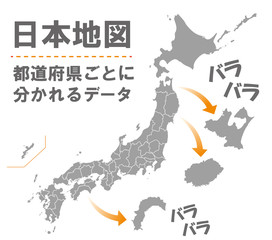 日本地図 素材 高品質 高精細 線画 白地図 日本列島favorite_border favorite
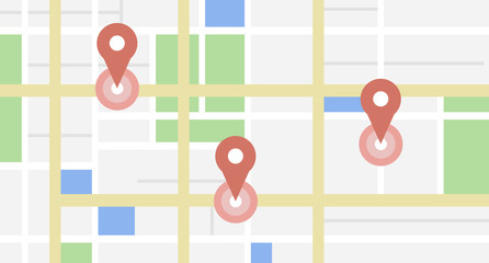 City map with some location tagsfavorite_border favorite
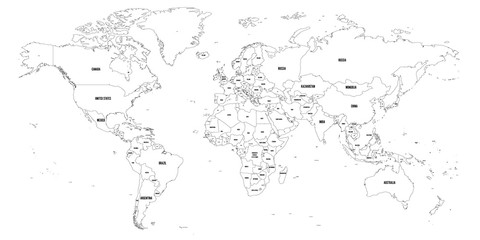 Black outline map of World. Simple vector illustration.favorite_border favorite
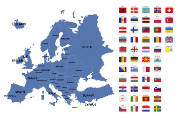 europe map and flagsfavorite_border favorite
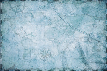 old nautical treasure map backgroundfavorite_border favorite
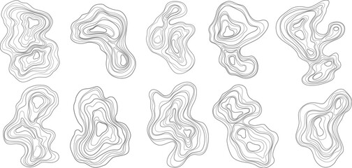 Set of abstract tree rings. Vector topographic map design elements. Contour map concept. Thin wavy lines.favorite_border favorite
 White wave paper curved reliefs abstract background, Abstract topographic contours map background, Vector contour topographic map background. Topography and geography map grid abstract backdrop.favorite_border favorite
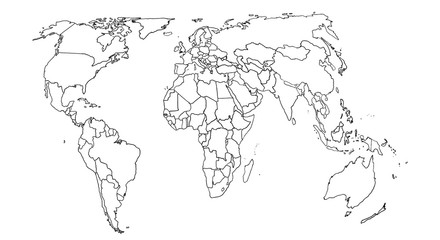 World map sketch for coloringfavorite_border favorite
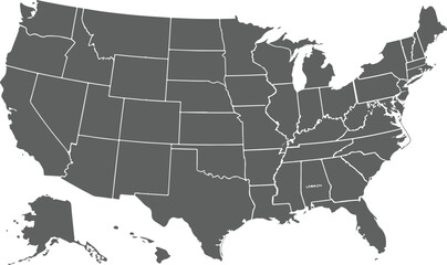 USA map with states isolated on a white background. United States of America map. Vector illustration, United States of American Map transparent background.favorite_border favorite
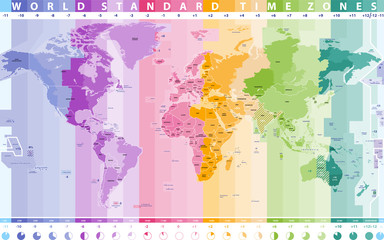 world standard time zones vector mapfavorite_border favorite
 Area map of Kraków, Polandfavorite_border favorite
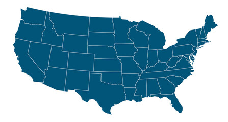 USA states map outline. Country map United States of America. US states borders silhouettes.favorite_border favorite
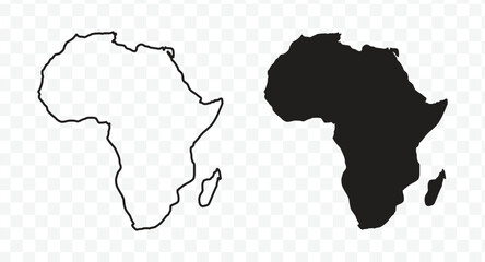 Outline and solid black silhouette maps of the African continentfavorite_border favorite
 World Map with Highlighted Country Borders Vector Illustrationfavorite_border favorite
 United States map with state borders and Alaska Hawaiifavorite_border favorite
 City town map seamless pattern plan with streets and roads. Vector grayscale abstract map with street layouts, intersections and urban details. Modern, minimalistic background, urban planning projectfavorite_border favorite
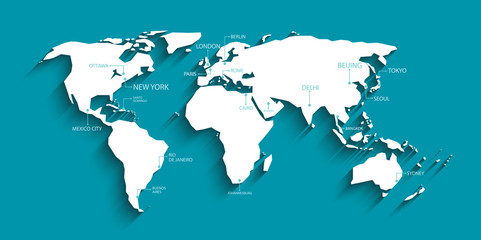 Modern world map with shadow and capital name. vector.favorite_border favorite
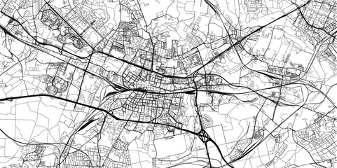 Urban vector city map of Katowice, Polandfavorite_border favorite
 Connected map of Europe vector illustration background – European Union concept: cooperation, technology, digitalization, futurefavorite_border favorite
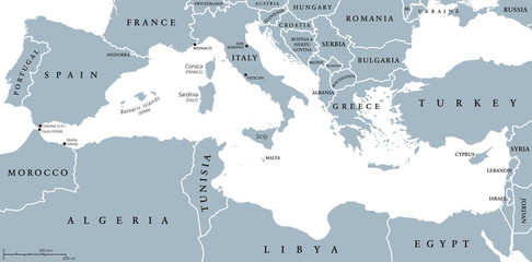 Mediterranean Sea Region countries political map with national borders. South Europe, North Africa and Near East with national borders. English labeling and scaling. Illustration.favorite_border favorite
 map of europefavorite_border favorite
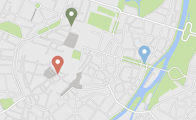 City map with some location tagsfavorite_border favorite
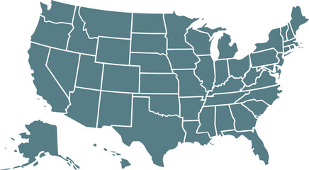 USA map with states isolated on a white background. Vector illustration of the map of the United States of America, AI-Generated Vectorfavorite_border favorite
 3d map of world Template for your designfavorite_border favorite
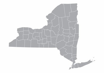 New York State mapfavorite_border favorite
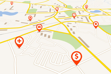 Navigation mapfavorite_border favorite
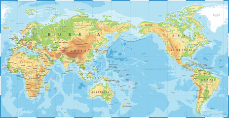 Political Physical Topographic Colored World Map Pacific Centeredfavorite_border favorite
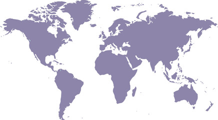 World map silhouette on transparent backgroundfavorite_border favorite
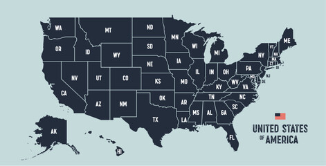 USA Map. Poster map of United States of America. Infographic design, USA with states, poster or geographic, political theme. Print map of USA states, silhouettes outline. Vector Illustrationfavorite_border favorite
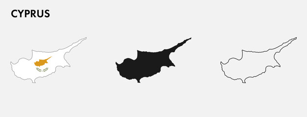 Set of Cyprus map isolated on white background, vector illustration designfavorite_border favorite
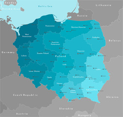 Vector modern illustration. Simplified geographical map of Poland (in blue colors) and neighboring countries (Germany, Czech Republic, Ukraine and etc. in grey). Names of Polish cities and provinces.favorite_border favorite
 Area map of Warsaw, Polandfavorite_border favorite
 Locator position point. GPS tracking system to navigate around the city landmarks. Detailed city street map with directions to different locations. Vector illustrationfavorite_border favorite
 Map of Asia Pacific. - Vector illustrationfavorite_border favorite
 Warschau, Administrativfavorite_border favorite
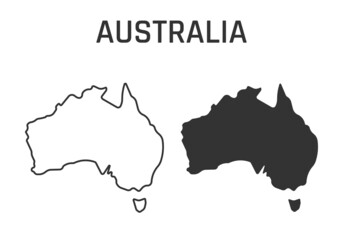 australia map icon, outline and silhouette of the australian continentfavorite_border favorite
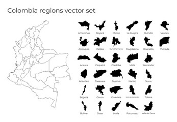 Colombia map with shapes of regions. Blank vector map of the country with regions. Borders of the country for your infographic. Vector illustration.favorite_border favorite
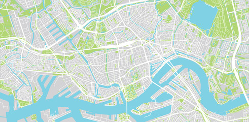 Urban vector city map of Rotterdam, The Netherlandsfavorite_border favorite
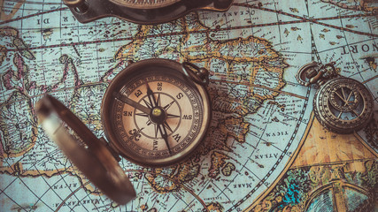 Antique bronze emblem compass on a retro world map vintage style.favorite_border favorite
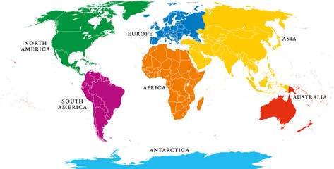 Seven continents map with national borders. Asia, Africa, North and South America, Antarctica, Europe and Australia. Detailed map under Robinson projection and English labeling on white background.favorite_border favorite
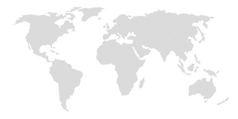 Illustration and pictogram of gray hatched map of the world on a transparent background.favorite_border favorite
 United States of America mapfavorite_border favorite
 Map of the Germany in gray on a white backgroundfavorite_border favorite
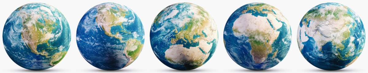 Planet Earth geography map setfavorite_border favorite
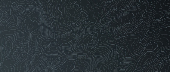 Terrain map. Contours trails, image grid geographic relief topographic contour line maps cartography texture, vector illustrationfavorite_border favorite
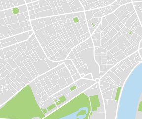 City map navigational templatefavorite_border favorite
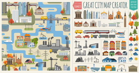 Основные RGBGreat city map creator.Seamless pattern mapfavorite_border favorite
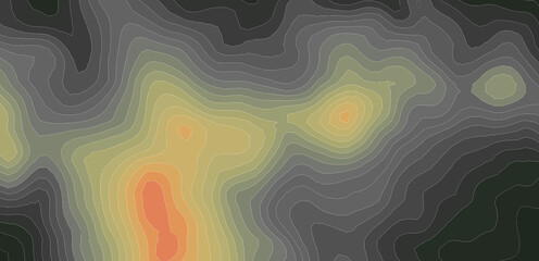 Elevation geodetic map of the mountainous region of the western highlands of Vietnam. BLACK AND WHITE GEOGRAPHIC BACKGROUND STYLE WITH STRONG CONTRAST COLORS SHOWING TEMPERATUREfavorite_border favorite
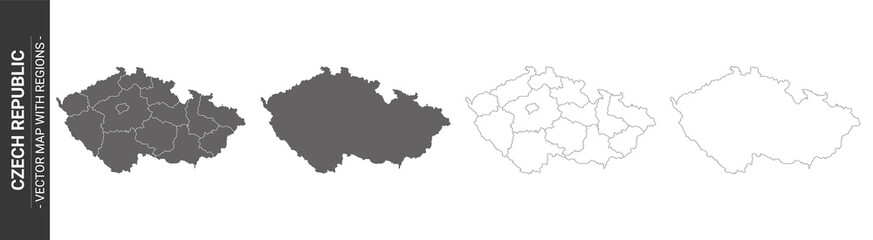 set of 4 political maps of Czech Republic with regions isolated on white backgroundfavorite_border favorite
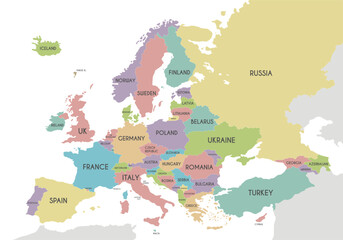 Political Europe Map vector illustration isolated on white background. Editable and clearly labeled layers.favorite_border favorite
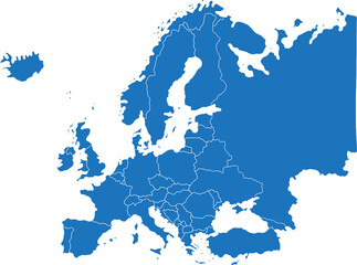 doodle freehand drawing of europe map.favorite_border favorite
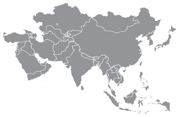 Outline of the map of Asia Continentfavorite_border favorite
 World map with animals in water and on earth. Geography and fauna of planet. Wildlife, nature for kids.Continents, oceans, mammals and fishes for preschool children. Colored flat vector illustrationfavorite_border favorite
 city of spain mapfavorite_border favorite
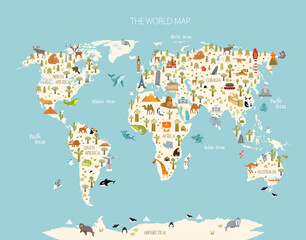 Print. World map with animals and architectural landmarks for kids. Eurasia, Africa, South America, North America, Australia. Cartoon animals.favorite_border favorite
 Vector map of Poland. Country map with division, cities and capital Warsaw. Political map, world map, infographic elements.favorite_border favorite
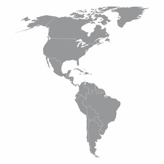 North and South America mapfavorite_border favorite
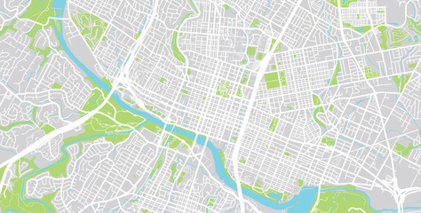 Vector city map of Austin, Texas.favorite_border favorite
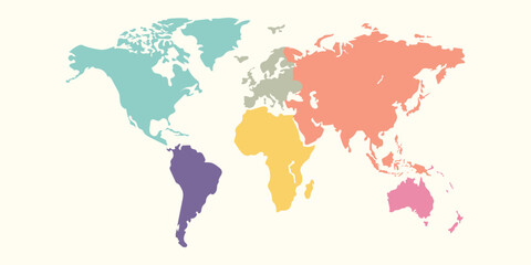 World Map, Very high resolution world map, isolated on white background. Infographic, Flat Earth, Globe similar world map icon. annual report, Travel worldwide, map silhouette.favorite_border favorite
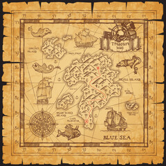 Pirate treasure map of skull island vector sketchfavorite_border favorite
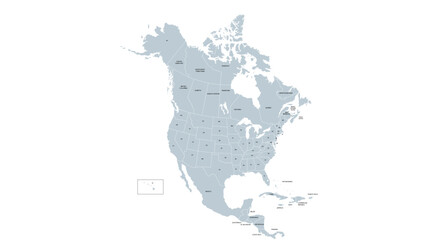 Vector Map of North America and Central Americafavorite_border favorite
 Abstract map of Spain with red circle linesfavorite_border favorite
 Map of Poland in gray on a white backgroundfavorite_border favorite
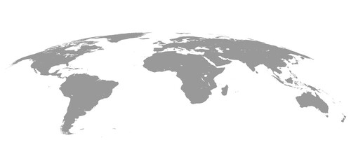 World Map Isolated on White Background in Gray Color. Vector Illustrationfavorite_border favorite
 Miniature tourists in China. Color tone tuned.favorite_border favorite
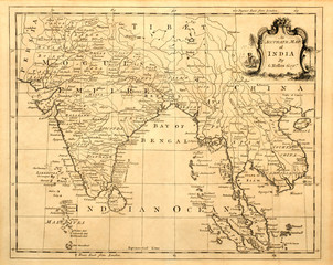 Vintage map of India and Southeast Asia, printed in 1750.favorite_border favorite
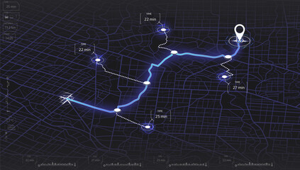 Map mobile app planning travel. Isometric map. City map route, location symbols and navigational system mark. Vector, illustration isolated on white background.favorite_border favorite
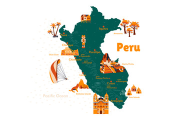 Vector map of Peru. Attraction. Historical places. Tourism. Cities. Guide. South America. Andean Mountains. Cordillera. Lima. Machu Picchu. Sacred Valley of the Incas. Titicaca. Amazonia. Nazca.favorite_border favorite
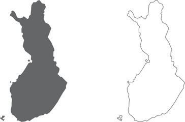 vector illustration of simple abstract map of Finlandfavorite_border favorite
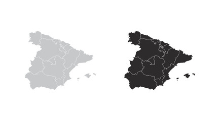 map of Spainfavorite_border favorite
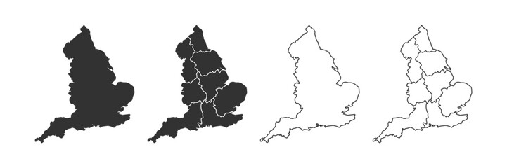 England map icon. English country border symbol. UK geography signs. Europe symbols. British kingdom icons. Black color. Vector sign.favorite_border favorite
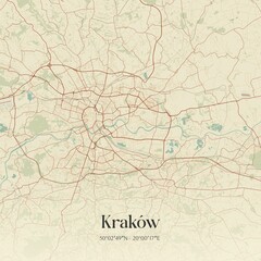 Vintage map of Kraków, Poland.favorite_border favorite
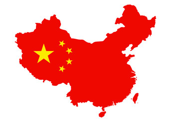 Outlined People's Republic of China map country silhouette in national flag style vector drawing template for your design.favorite_border favorite
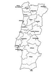 Mapa portugal com regiões e concelhos, distritosfavorite_border favorite
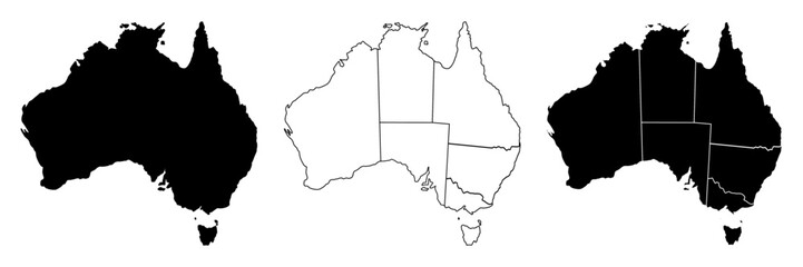 Australia map, Australia country vector map in white background.Australia map background with states.Australia political map. High detailed. Solid simple style. Black and white. Vector editable.favorite_border favorite
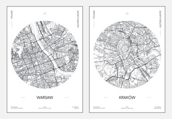 Travel poster, urban street plan city map Warsaw and Krakow, vector illustrationfavorite_border favorite
 Hand-drawn map illustration, Travel element, Adventure themefavorite_border favorite
 Urban vector city map of Pittsburgh, Pennsylvania, United States of Americafavorite_border favorite
 Stavropol Krai, Russiafavorite_border favorite
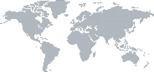 Dotted Map Vector High Quality World Map Illustration Editable Digital Downloadfavorite_border favorite
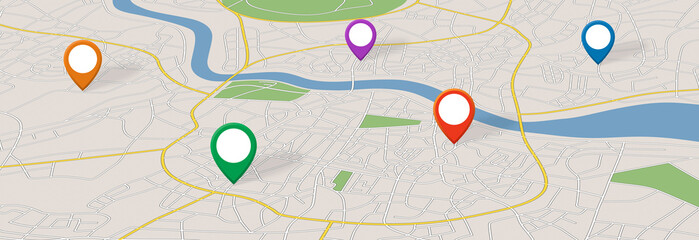 A generic city map with iconsfavorite_border favorite
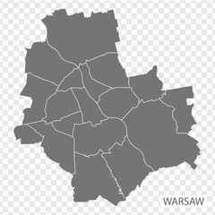 High Quality map of Warsaw is a capital Poland, with borders of the districts. Map of Warsaw for your web site design, app, UI. EPS10.favorite_border favorite
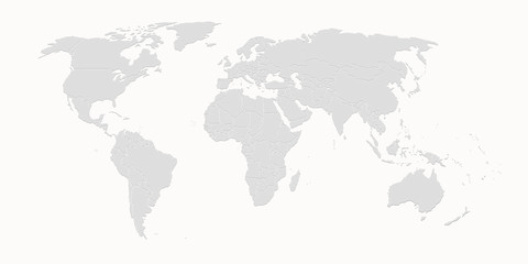 World mapfavorite_border favorite
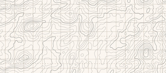 Topographic map patterns, topography line map. Outdoor vector backgroundfavorite_border favorite
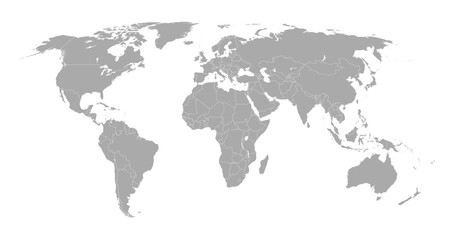 World map showing country borders. Gray world map isolated with border. Vector stock illustration.favorite_border favorite
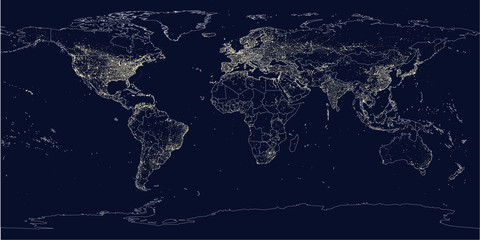 Earth's city lights political mapfavorite_border favorite
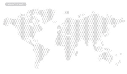 World map of hexagon dots, led uppercase English alphabet, vector illustrationfavorite_border favorite
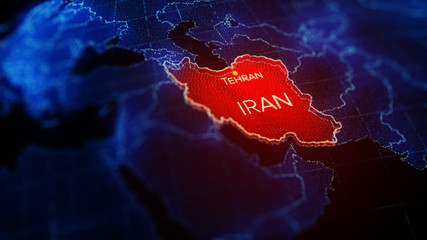 3d illustration, Middle east region map with Iran. Map of Iran a symbol of conflictfavorite_border favorite
 set of 4 political maps of United Kingdom with regions isolated on white backgroundfavorite_border favorite
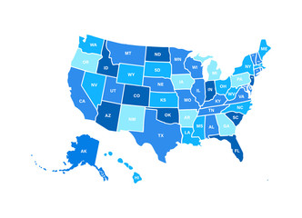 Blank similar USA map isolated on white background. United States of America usa country. Vector template usa for website, design, cover, infographics. Graph illustration.favorite_border favorite
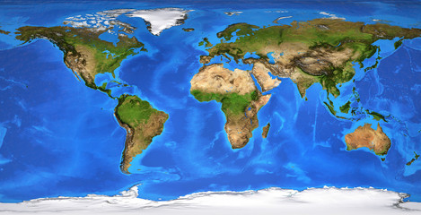 High resolution flat world map in summerfavorite_border favorite
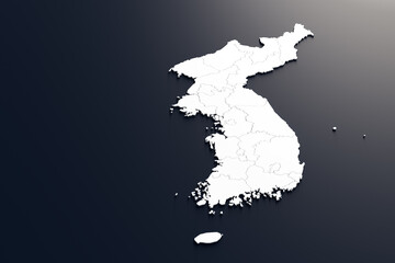 Map of South Korea and North Korea divided by administrative districts.3D Rendering.favorite_border favorite
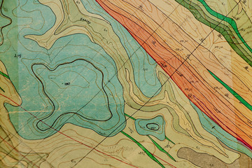 geological map as a background close-up in green colorsfavorite_border favorite
 blue world map connectionfavorite_border favorite
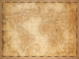 old world map backgroundfavorite_border favorite
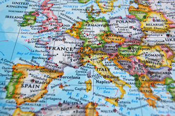 mapfavorite_border favorite