-
Do ulubionych favorite_border
Usuń z ulubionych favorite
-
Urban vector city map of Lodz, Poland
Do ulubionych favorite_border
Usuń z ulubionych favorite
-
Curved World Map Vector Isolated Design
Do ulubionych favorite_border
Usuń z ulubionych favorite
-
Do ulubionych favorite_border
Usuń z ulubionych favorite
-
Administracyjna mapa województwa
Do ulubionych favorite_border
Usuń z ulubionych favorite
-
Blank map of Canada. High quality map of Canada with provinces on transparent background for your web site design, logo, app, UI. America. EPS10.
Do ulubionych favorite_border
Usuń z ulubionych favorite
-
Do ulubionych favorite_border
Usuń z ulubionych favorite
-
Topographic map patterns, topography line map. Vintage outdoors style
Do ulubionych favorite_border
Usuń z ulubionych favorite
-
Vector art of globe inside a location pin icon
Do ulubionych favorite_border
Usuń z ulubionych favorite
-
Outline of the map of Poland with regions
Do ulubionych favorite_border
Usuń z ulubionych favorite
-
Spanish language Political map of the world Equal earth projection
Do ulubionych favorite_border
Usuń z ulubionych favorite
-
Do ulubionych favorite_border
Usuń z ulubionych favorite
-
set of political maps of Netherlands with regions and flag map isolated on white background
Do ulubionych favorite_border
Usuń z ulubionych favorite
-
Weltkarte auf Deutsch - Vintage retro stil - Vektorisiert texte : länder, hauptstädte, inseln, meere...
Do ulubionych favorite_border
Usuń z ulubionych favorite
-
Pins on a world map in vector style. International busines communication concept. Global connections illustration.
Do ulubionych favorite_border
Usuń z ulubionych favorite
-
City map Krakow, travel vector poster design
Do ulubionych favorite_border
Usuń z ulubionych favorite
-
Africa, single countries, gray political map. Largest continent, including Madagascar. With English country names and international borders. Isolated illustration on white background. Vector.
Do ulubionych favorite_border
Usuń z ulubionych favorite
-
Baltic Sea highlighted. Satellite map
Do ulubionych favorite_border
Usuń z ulubionych favorite
-
Do ulubionych favorite_border
Usuń z ulubionych favorite
-
A gray map of California counties isolated on white background
Do ulubionych favorite_border
Usuń z ulubionych favorite
-
Detailed map of United States of America. Vector template for infographics. Editable stroke.
Do ulubionych favorite_border
Usuń z ulubionych favorite
-
Vector city map of New York
Do ulubionych favorite_border
Usuń z ulubionych favorite
-
Luxury gold abstract line art background vector. Mountain topographic terrain map background with gold lines texture. Design illustration for wall art, fabric, packaging, web, banner, app, wallpaper.
Do ulubionych favorite_border
Usuń z ulubionych favorite
-
Travel. Trip. Vacation - Top view airplane with touristic map
Do ulubionych favorite_border
Usuń z ulubionych favorite
-
シンプルで使いやすい地図アイコン素材セット 道路・線路はアピアランス分割なし 線幅変更可能
Do ulubionych favorite_border
Usuń z ulubionych favorite
-
World Map Outline Contour Silhouette Borders - Asia in Center
Do ulubionych favorite_border
Usuń z ulubionych favorite
-
Do ulubionych favorite_border
Usuń z ulubionych favorite
-
Urban Cracow map. Detailed map of Kraków (Cracovia), Poland. City poster with streets and Wisła (Vistula) River. Light stroke version.
Do ulubionych favorite_border
Usuń z ulubionych favorite
-
Background of the topographic map. Topographic map lines, contour background. Geographic abstract grid. EPS 10 vector illustration.
Do ulubionych favorite_border
Usuń z ulubionych favorite
-
Simple (only sharp corners) map of Ireland (whole island, including northern British part) vector drawing. Mercator projection. Filled and outline version.
Do ulubionych favorite_border
Usuń z ulubionych favorite
-
Stock Vector Illustration: Map icons
Do ulubionych favorite_border
Usuń z ulubionych favorite
-
Do ulubionych favorite_border
Usuń z ulubionych favorite
-
vector map set of Latvia isolated on white background
Do ulubionych favorite_border
Usuń z ulubionych favorite
-
Businessman holding a 3d rendering pin holder on a map
Do ulubionych favorite_border
Usuń z ulubionych favorite
-
Vector contour topographic map background. Topography and geography map grid abstract backdrop, Vector illustration of topographic line contour map, Linear graphics. Vector illustration,
Do ulubionych favorite_border
Usuń z ulubionych favorite
-
Continents of the World, Map
Do ulubionych favorite_border
Usuń z ulubionych favorite
-
Detailed negative navigation urban street roads map on dark gray background of the Polish regional capital city of Bydgoszcz, Poland
Do ulubionych favorite_border
Usuń z ulubionych favorite
-
Solomon Islands outlined. Physical elevation map
Do ulubionych favorite_border
Usuń z ulubionych favorite
-
Weltkarte mit vernetzten Länder
Do ulubionych favorite_border
Usuń z ulubionych favorite
-
Africa Map African Border Continent Variations
Do ulubionych favorite_border
Usuń z ulubionych favorite
-
Fantasy medieval cartography map elements, vector, drawing symbols, illustration
Do ulubionych favorite_border
Usuń z ulubionych favorite
-
Urban vector city map of Munich, Germany
Do ulubionych favorite_border
Usuń z ulubionych favorite
-
Geographic Topographic Map Grid. Topography Map Background. Vector Web Banner in Grey Colors.
Do ulubionych favorite_border
Usuń z ulubionych favorite
-
Earth globe. World map set. Planet with continents. Vector Illustration
Do ulubionych favorite_border
Usuń z ulubionych favorite
-
Europe map with countries flags
Do ulubionych favorite_border
Usuń z ulubionych favorite
-
United kingdom map vector illustration
Do ulubionych favorite_border
Usuń z ulubionych favorite
-
france map - High detailed Black map with counties/regions/states of france. france map isolated on transparent background.
Do ulubionych favorite_border
Usuń z ulubionych favorite
-
Military conflict between Ukraine and Russia. Concept map of war. cartography design. 3d render
Do ulubionych favorite_border
Usuń z ulubionych favorite
-
Vector map of South Korea. High detailed country map with division, cities and capital Seoul. Political map, world map, infographic elements.
Do ulubionych favorite_border
Usuń z ulubionych favorite
-
Top view world map with aircraft, air pathes and pins. Wide flat vector illustration for info graphic, web, banner. Global logistics network. World map with destination marker pins and plane travel
Do ulubionych favorite_border
Usuń z ulubionych favorite
-
Dotted world map illustration on white background
Do ulubionych favorite_border
Usuń z ulubionych favorite
-
Map of the United States of America in vector format
Do ulubionych favorite_border
Usuń z ulubionych favorite
-
set of political maps of Sweden with regions and flag map isolated on white background
Do ulubionych favorite_border
Usuń z ulubionych favorite
-
Do ulubionych favorite_border
Usuń z ulubionych favorite
-
Scotland map vector, isolated on white background. Black template, flat earth. Simplified, generalized with round corners.
Do ulubionych favorite_border
Usuń z ulubionych favorite
-
Texas state gray maps. Vector illustration.
Do ulubionych favorite_border
Usuń z ulubionych favorite
-
Futuristic technology and network connection concept, big smart city virtual database, digital visualization of big data on New York map background, vector illustration
Do ulubionych favorite_border
Usuń z ulubionych favorite
-
Europe political vector map for the year 1939
Do ulubionych favorite_border
Usuń z ulubionych favorite
-
Simple world map in flat style isolated on white background. Vector illustration.
Do ulubionych favorite_border
Usuń z ulubionych favorite
-
vector map of the city of Dallas, Texas, USA
Do ulubionych favorite_border
Usuń z ulubionych favorite
-
Australia map grey colored on a white background
Do ulubionych favorite_border
Usuń z ulubionych favorite
-
Urban vector city map of Yokohama, Japan
Do ulubionych favorite_border
Usuń z ulubionych favorite
-
old vintage map background
Do ulubionych favorite_border
Usuń z ulubionych favorite
-
carte du monde avec frontières 11062015
Do ulubionych favorite_border
Usuń z ulubionych favorite
-
France map – vector illustration of regions and political borders
Do ulubionych favorite_border
Usuń z ulubionych favorite
-
Detailed Poland administrative map with country flag and location on a blue globe. Vector illustration
Do ulubionych favorite_border
Usuń z ulubionych favorite
-
Poland map outline with stars and lines abstract framework.
Do ulubionych favorite_border
Usuń z ulubionych favorite
-
Krakow map vector poster flyer
Do ulubionych favorite_border
Usuń z ulubionych favorite
-
Location Mexico. Green pin on the map.
Do ulubionych favorite_border
Usuń z ulubionych favorite
-
Simple blank white vector map with black borders of districts of Wroclaw, Poland
Do ulubionych favorite_border
Usuń z ulubionych favorite
-
360 degree panorama of modern futuristic technology station space ship sci-fi laboratory. 3d render illustration hdr hdri vr virtual reality environment map
Do ulubionych favorite_border
Usuń z ulubionych favorite
-
Abstract topographic map lines creating a textured mountainous landscape in black and white
Do ulubionych favorite_border
Usuń z ulubionych favorite
-
set of 3 maps of Poland - vector illustrations
Do ulubionych favorite_border
Usuń z ulubionych favorite
-
Detailed map of the Asia-Pacific region, highlighting countries
Do ulubionych favorite_border
Usuń z ulubionych favorite
-
Night earth global virtual internet world connection of metaverse technology network digital communication and worldwide networking on connect 3d background. Elements of this image furnished by NASA.
Do ulubionych favorite_border
Usuń z ulubionych favorite
-
Germany map outline view from space, globe planet earth, teal color, elements of this image courtesy of NASA
Do ulubionych favorite_border
Usuń z ulubionych favorite
-
Do ulubionych favorite_border
Usuń z ulubionych favorite
-
Polen Administrativ Verwaltungsgliederung
Do ulubionych favorite_border
Usuń z ulubionych favorite
-
Modern location UI widget set with map pins and text call-outs. Includes location lower thirds, titles, and coordinates layouts. Ideal for maps or location-based video overlays.
Do ulubionych favorite_border
Usuń z ulubionych favorite
-
Do ulubionych favorite_border
Usuń z ulubionych favorite
-
Shaded relief map with vertical exaggeration of Poland. Created of Shuttle Radar Topography Mission (SRTM) free elevation data from NASA using 3D software.
Do ulubionych favorite_border
Usuń z ulubionych favorite
-
Urban vector city map of Dubai, United Arab Emirates
Do ulubionych favorite_border
Usuń z ulubionych favorite
-
old nautical treasure map background
Do ulubionych favorite_border
Usuń z ulubionych favorite
-
world map made with dots and lines
Do ulubionych favorite_border
Usuń z ulubionych favorite
-
Selective focus of Colorful Many pins on map background
Do ulubionych favorite_border
Usuń z ulubionych favorite
-
Airplane routes set. Plane paths. Aircraft tracking, planes, travel, map pins, location pins. Vector illustration.
Do ulubionych favorite_border
Usuń z ulubionych favorite
-
Colorful Vector map of Europe
Do ulubionych favorite_border
Usuń z ulubionych favorite
-
Vector map of China and provinces GRAY
Do ulubionych favorite_border
Usuń z ulubionych favorite
-
Kraków, Poland map poster art
Do ulubionych favorite_border
Usuń z ulubionych favorite
-
European union . EU and membership flags . Flat circle element design . White isolated background and europe map . Vector .
Do ulubionych favorite_border
Usuń z ulubionych favorite
-
Tenerife Island. Spain. Shape on white. Bilevel
Do ulubionych favorite_border
Usuń z ulubionych favorite
-
Continuous one line drawing of map of France. white background map for Education, Travel across cities in France, infographics, Science, Web Presentation isolated on white background
Do ulubionych favorite_border
Usuń z ulubionych favorite
-
set of 4 political maps of Luxembourg with regions isolated on white background
Do ulubionych favorite_border
Usuń z ulubionych favorite
-
Geographical map of Norway isolated on white background
Do ulubionych favorite_border
Usuń z ulubionych favorite
-
city map for any kind of digital info graphics and print publication. gps map.EPS10 separate layers.
Do ulubionych favorite_border
Usuń z ulubionych favorite
-
World political map. Detailed map of the world with shorelines, national borders and country names. Robinson projection, english labeling, grey illustration on white background.
Do ulubionych favorite_border
Usuń z ulubionych favorite
-
City street map plan with river GPS place pins and navigation route between point markers. Vector blue color perspective view isometric illustration location schema
Do ulubionych favorite_border
Usuń z ulubionych favorite
-
Detailed blue vector map set of Victoria Australia showing regions and boundary lines
Do ulubionych favorite_border
Usuń z ulubionych favorite
-
City map navigation. GPS navigator. Point marker icon. Top view, view from above. Abstract background. Cute simple design. Flat style vector illustration.
Do ulubionych favorite_border
Usuń z ulubionych favorite
-
Pirate and nautical theme grunge background
Do ulubionych favorite_border
Usuń z ulubionych favorite
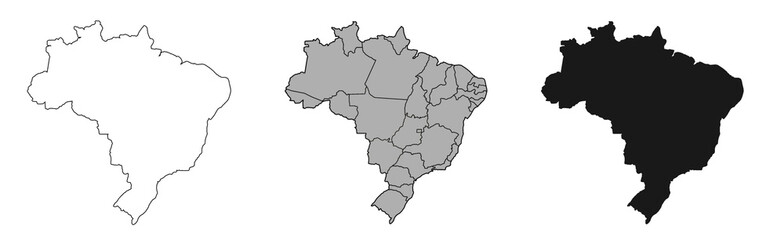 Brazil mapfavorite_border favorite
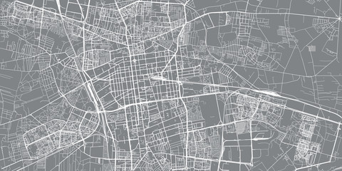 Urban vector city map of Lodz, Polandfavorite_border favorite
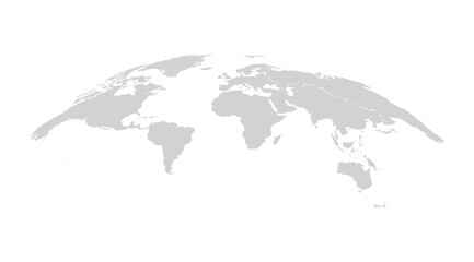 Curved World Map Vector Isolated Designfavorite_border favorite
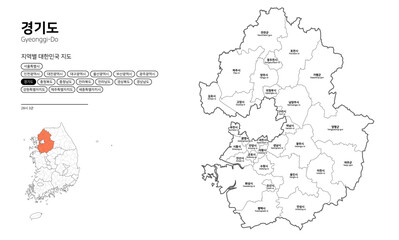 대한민국 지도-경기도favorite_border favorite
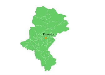 Administracyjna mapa województwafavorite_border favorite
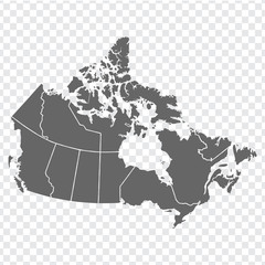 Blank map of Canada. High quality map of Canada with provinces on transparent background for your web site design, logo, app, UI. America. EPS10.favorite_border favorite
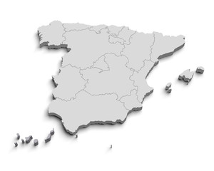 3d Spain white mapfavorite_border favorite
 Topographic map patterns, topography line map. Vintage outdoors stylefavorite_border favorite
 Vector art of globe inside a location pin iconfavorite_border favorite
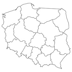 Outline of the map of Poland with regionsfavorite_border favorite
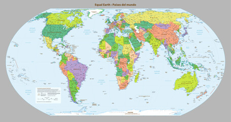 Spanish language Political map of the world Equal earth projectionfavorite_border favorite
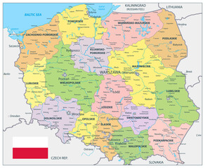 Poland Political Mapfavorite_border favorite
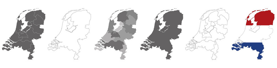 set of political maps of Netherlands with regions and flag map isolated on white backgroundfavorite_border favorite
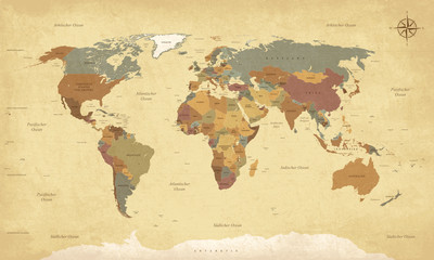 Weltkarte auf Deutsch - Vintage retro stil - Vektorisiert texte : länder, hauptstädte, inseln, meere...favorite_border favorite
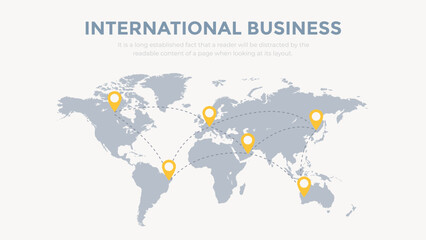 Pins on a world map in vector style. International busines communication concept. Global connections illustration.favorite_border favorite
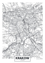 City map Krakow, travel vector poster designfavorite_border favorite
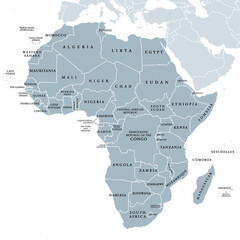 Africa, single countries, gray political map. Largest continent, including Madagascar. With English country names and international borders. Isolated illustration on white background. Vector.favorite_border favorite
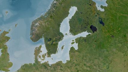 Baltic Sea highlighted. Satellite mapfavorite_border favorite
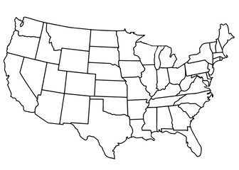 usa country mapfavorite_border favorite
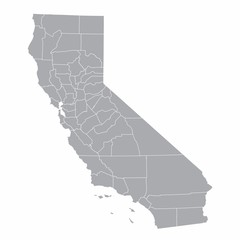 A gray map of California counties isolated on white backgroundfavorite_border favorite
 Detailed map of United States of America. Vector template for infographics. Editable stroke.favorite_border favorite
 Vector city map of New Yorkfavorite_border favorite
 Luxury gold abstract line art background vector. Mountain topographic terrain map background with gold lines texture. Design illustration for wall art, fabric, packaging, web, banner, app, wallpaper.favorite_border favorite
 Travel. Trip. Vacation - Top view airplane with touristic mapfavorite_border favorite
 シンプルで使いやすい地図アイコン素材セット 道路・線路はアピアランス分割なし 線幅変更可能favorite_border favorite
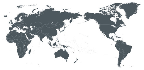 World Map Outline Contour Silhouette Borders - Asia in Centerfavorite_border favorite
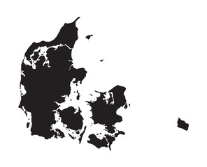 black map of Denmarkfavorite_border favorite
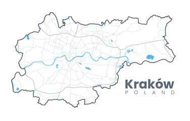 Urban Cracow map. Detailed map of Kraków (Cracovia), Poland. City poster with streets and Wisła (Vistula) River. Light stroke version.favorite_border favorite
 Background of the topographic map. Topographic map lines, contour background. Geographic abstract grid. EPS 10 vector illustration.favorite_border favorite
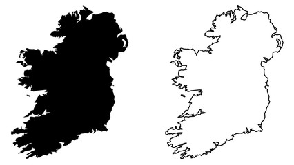 Simple (only sharp corners) map of Ireland (whole island, including northern British part) vector drawing. Mercator projection. Filled and outline version.favorite_border favorite
 Stock Vector Illustration: Map iconsfavorite_border favorite
 Map of Spainfavorite_border favorite
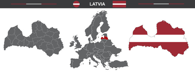 vector map set of Latvia isolated on white backgroundfavorite_border favorite
 Businessman holding a 3d rendering pin holder on a mapfavorite_border favorite
 Vector contour topographic map background. Topography and geography map grid abstract backdrop, Vector illustration of topographic line contour map, Linear graphics. Vector illustration,favorite_border favorite
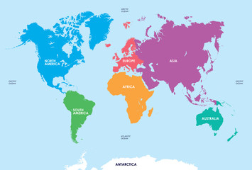 Continents of the World, Mapfavorite_border favorite
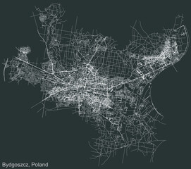 Detailed negative navigation urban street roads map on dark gray background of the Polish regional capital city of Bydgoszcz, Polandfavorite_border favorite
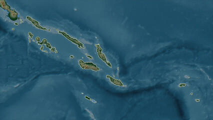 Solomon Islands outlined. Physical elevation mapfavorite_border favorite
 Weltkarte mit vernetzten Länderfavorite_border favorite
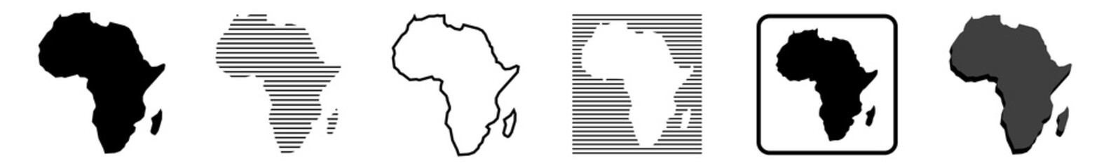 Africa Map African Border Continent Variationsfavorite_border favorite
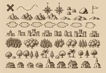 Fantasy medieval cartography map elements, vector, drawing symbols, illustrationfavorite_border favorite
 Urban vector city map of Munich, Germanyfavorite_border favorite
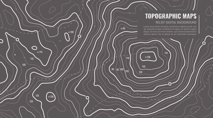 Geographic Topographic Map Grid. Topography Map Background. Vector Web Banner in Grey Colors.favorite_border favorite
 Earth globe. World map set. Planet with continents. Vector Illustrationfavorite_border favorite
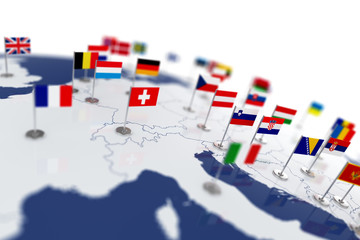 Europe map with countries flagsfavorite_border favorite
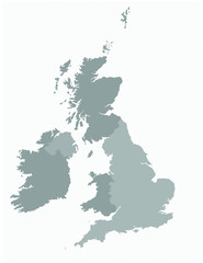 United kingdom map vector illustrationfavorite_border favorite
 france map - High detailed Black map with counties/regions/states of france. france map isolated on transparent background.favorite_border favorite
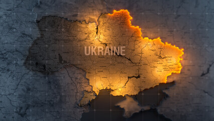 Military conflict between Ukraine and Russia. Concept map of war. cartography design. 3d renderfavorite_border favorite
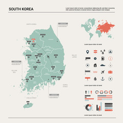 Vector map of South Korea. High detailed country map with division, cities and capital Seoul. Political map, world map, infographic elements.favorite_border favorite
 Top view world map with aircraft, air pathes and pins. Wide flat vector illustration for info graphic, web, banner. Global logistics network. World map with destination marker pins and plane travelfavorite_border favorite
 Dotted world map illustration on white backgroundfavorite_border favorite
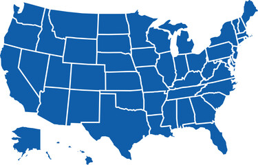 Map of the United States of America in vector formatfavorite_border favorite
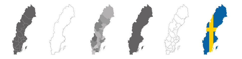 set of political maps of Sweden with regions and flag map isolated on white backgroundfavorite_border favorite
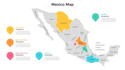 Mexico map vectorfavorite_border favorite
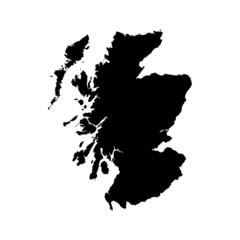 Scotland map vector, isolated on white background. Black template, flat earth. Simplified, generalized with round corners.favorite_border favorite
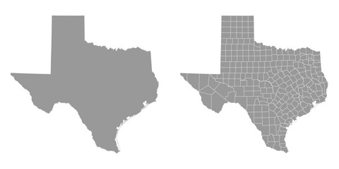 Texas state gray maps. Vector illustration.favorite_border favorite
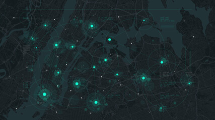 Futuristic technology and network connection concept, big smart city virtual database, digital visualization of big data on New York map background, vector illustrationfavorite_border favorite
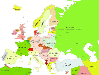 Europe political vector map for the year 1939favorite_border favorite
 Simple world map in flat style isolated on white background. Vector illustration.favorite_border favorite
 vector map of the city of Dallas, Texas, USAfavorite_border favorite
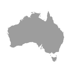 Australia map grey colored on a white backgroundfavorite_border favorite
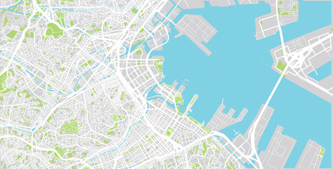 Urban vector city map of Yokohama, Japanfavorite_border favorite
 old vintage map backgroundfavorite_border favorite
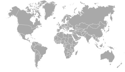 carte du monde avec frontières 11062015favorite_border favorite
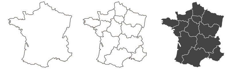 France map – vector illustration of regions and political bordersfavorite_border favorite
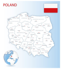 Detailed Poland administrative map with country flag and location on a blue globe. Vector illustrationfavorite_border favorite
 Poland map outline with stars and lines abstract framework.favorite_border favorite
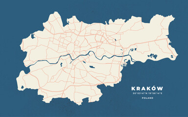 Krakow map vector poster flyerfavorite_border favorite
 Location Mexico. Green pin on the map.favorite_border favorite
 Simple blank white vector map with black borders of districts of Wroclaw, Polandfavorite_border favorite
 360 degree panorama of modern futuristic technology station space ship sci-fi laboratory. 3d render illustration hdr hdri vr virtual reality environment mapfavorite_border favorite
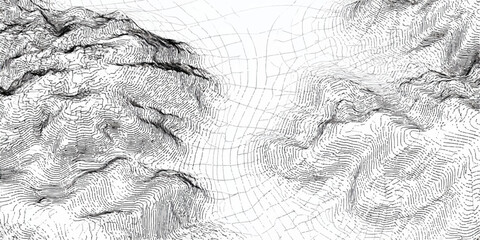 Abstract topographic map lines creating a textured mountainous landscape in black and whitefavorite_border favorite
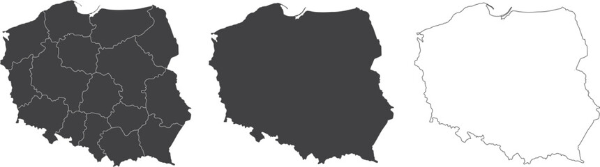 set of 3 maps of Poland - vector illustrationsfavorite_border favorite
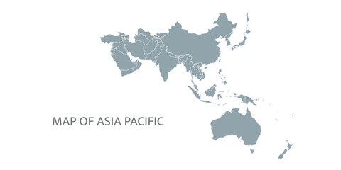 Detailed map of the Asia-Pacific region, highlighting countriesfavorite_border favorite
 Night earth global virtual internet world connection of metaverse technology network digital communication and worldwide networking on connect 3d background. Elements of this image furnished by NASA.favorite_border favorite
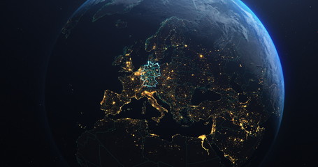 Germany map outline view from space, globe planet earth, teal color, elements of this image courtesy of NASAfavorite_border favorite
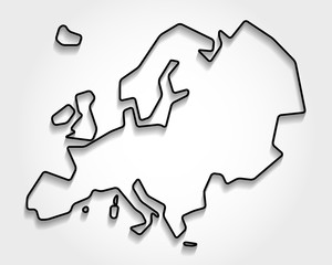 Europe black outline mapfavorite_border favorite
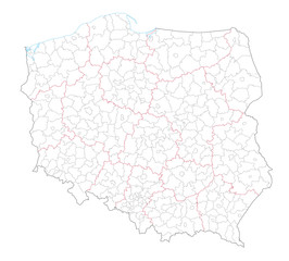 Polen Administrativ Verwaltungsgliederungfavorite_border favorite
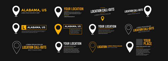 Modern location UI widget set with map pins and text call-outs. Includes location lower thirds, titles, and coordinates layouts. Ideal for maps or location-based video overlays.favorite_border favorite
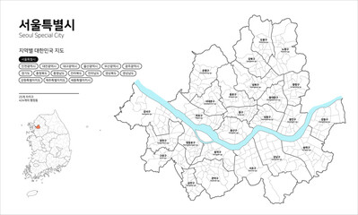 대한민국 지도-서울특별시favorite_border favorite
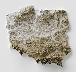 Shaded relief map with vertical exaggeration of Poland. Created of Shuttle Radar Topography Mission (SRTM) free elevation data from NASA using 3D software.favorite_border favorite
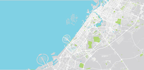 Urban vector city map of Dubai, United Arab Emiratesfavorite_border favorite
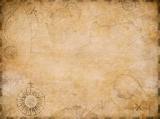 old nautical treasure map backgroundfavorite_border favorite
 world map made with dots and linesfavorite_border favorite
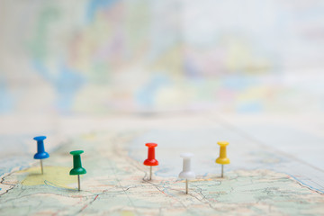 Selective focus of Colorful Many pins on map backgroundfavorite_border favorite
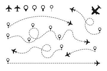 Airplane routes set. Plane paths. Aircraft tracking, planes, travel, map pins, location pins. Vector illustration.favorite_border favorite
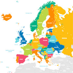 Colorful Vector map of Europefavorite_border favorite
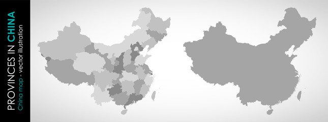 Vector map of China and provinces GRAYfavorite_border favorite
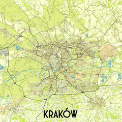 Kraków, Poland map poster artfavorite_border favorite
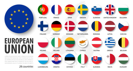 European union . EU and membership flags . Flat circle element design . White isolated background and europe map . Vector .favorite_border favorite
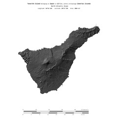 Tenerife Island. Spain. Shape on white. Bilevelfavorite_border favorite
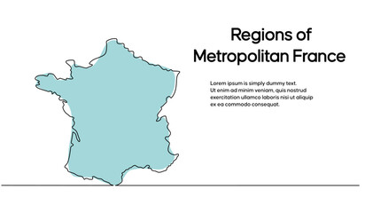 Continuous one line drawing of map of France. white background map for Education, Travel across cities in France, infographics, Science, Web Presentation isolated on white backgroundfavorite_border favorite
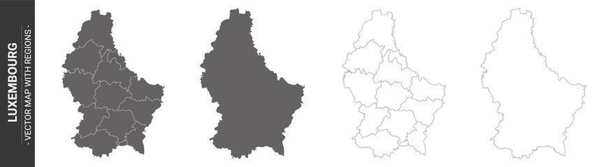 set of 4 political maps of Luxembourg with regions isolated on white backgroundfavorite_border favorite
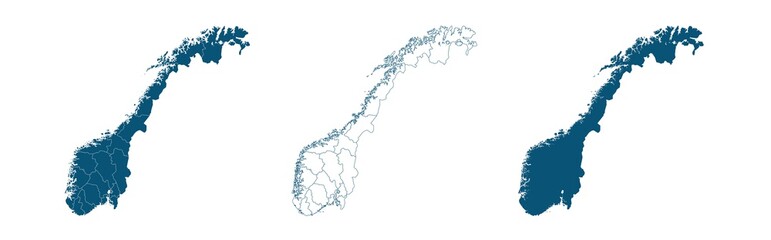 Geographical map of Norway isolated on white backgroundfavorite_border favorite
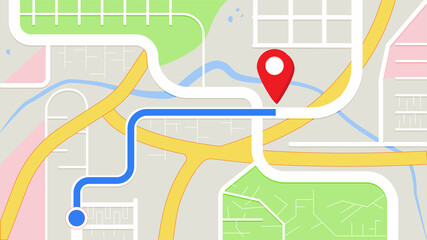 city map for any kind of digital info graphics and print publication. gps map.EPS10 separate layers.favorite_border favorite
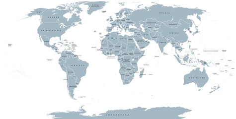 World political map. Detailed map of the world with shorelines, national borders and country names. Robinson projection, english labeling, grey illustration on white background.favorite_border favorite
 City street map plan with river GPS place pins and navigation route between point markers. Vector blue color perspective view isometric illustration location schemafavorite_border favorite
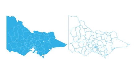 Detailed blue vector map set of Victoria Australia showing regions and boundary linesfavorite_border favorite
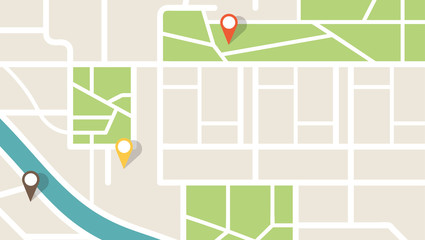 City map navigation. GPS navigator. Point marker icon. Top view, view from above. Abstract background. Cute simple design. Flat style vector illustration.favorite_border favorite
 Pirate and nautical theme grunge backgroundfavorite_border favorite