-
Happy couple traveling by authentic car in Europe, hipster girl holding touristic map planning route in mountains, lifestyle roadtrip travel concept
Do ulubionych favorite_border
Usuń z ulubionych favorite
-
Urban vector city map of St Louis, California , United States of America
Do ulubionych favorite_border
Usuń z ulubionych favorite
-
Do ulubionych favorite_border
Usuń z ulubionych favorite
-
Ilustração 3D do mapa do Brasil e suas regiões em um fundo azul.
Do ulubionych favorite_border
Usuń z ulubionych favorite
-
The stylized height of the topographic map contour in lines and contours. The concept map of a conditional geography scheme and the terrain path. Isolated Object. Ultra Wide size. Vector illustration.
Do ulubionych favorite_border
Usuń z ulubionych favorite
-
World map. Grey modern vector map. Silhouette map
Do ulubionych favorite_border
Usuń z ulubionych favorite
-
Vector color detailed map of Norway with the administrative divisions of the country, each Counties and Dependent territory is presented separately and divided into municipalities
Do ulubionych favorite_border
Usuń z ulubionych favorite
-
Communications network map of the world
Do ulubionych favorite_border
Usuń z ulubionych favorite
-
Highly detailed vector map of London.It's includes streets, parks, names of subdistricts, points of interests.
Do ulubionych favorite_border
Usuń z ulubionych favorite
-
Czech republic vector map.
Do ulubionych favorite_border
Usuń z ulubionych favorite
-
New Zealand highlighted. High-res satellite map
Do ulubionych favorite_border
Usuń z ulubionych favorite
-
Ancient pirate map on old paper with red path to treasure
Do ulubionych favorite_border
Usuń z ulubionych favorite
-
Vector map of Poland administrative division vol.6
Do ulubionych favorite_border
Usuń z ulubionych favorite
-
World Map – Global Countries Outline Vector
Do ulubionych favorite_border
Usuń z ulubionych favorite
-
Do ulubionych favorite_border
Usuń z ulubionych favorite
-
Sunset over Iran from space
Do ulubionych favorite_border
Usuń z ulubionych favorite
-
California map on white background vector
Do ulubionych favorite_border
Usuń z ulubionych favorite
-
World vector map with country boundaries and graticules (UN emblem style, from 60 degrees south, north pole aeqd projection, PPT-compatible & fully editable)
Do ulubionych favorite_border
Usuń z ulubionych favorite
-
Set of Italy maps. Poster map of Italy with regions names. Blank Italy map. Map of Italy. Vector illustration
Do ulubionych favorite_border
Usuń z ulubionych favorite
-
Blank map of Portugal. Departments of Portugal map. High detailed gray vector map of Portugal on transparent background with Madeira and Azores. Stock vector. EPS10.
Do ulubionych favorite_border
Usuń z ulubionych favorite
-
USA map with states isolated on a white background. Vector illustration of the map of the United States of America, AI-Generated Vector
Do ulubionych favorite_border
Usuń z ulubionych favorite
-
Urban vector city map of Portland, Oregon, United States of America
Do ulubionych favorite_border
Usuń z ulubionych favorite
-
Digital image of map with directions
Do ulubionych favorite_border
Usuń z ulubionych favorite
-
World map stylized with dots on white background. Dotted world map with continents, North and South America, Europe and Asia, Africa and Australia
Do ulubionych favorite_border
Usuń z ulubionych favorite
-
Collection of outline shape of international country map in black.
Do ulubionych favorite_border
Usuń z ulubionych favorite
-
South america map illustration
Do ulubionych favorite_border
Usuń z ulubionych favorite
-
Detailed vector map of regions of South Korea with flag
Do ulubionych favorite_border
Usuń z ulubionych favorite
-
France map silhouettes in gray, outline, flat green, and watercolor texture styles.
Do ulubionych favorite_border
Usuń z ulubionych favorite
-
Poland - infographic map and flag illustration
Do ulubionych favorite_border
Usuń z ulubionych favorite
-
Do ulubionych favorite_border
Usuń z ulubionych favorite
-
Black Shield with world globe icon isolated on white background. Security, safety, protection, privacy concept. Set icons colorful square buttons. Vector Illustration
Do ulubionych favorite_border
Usuń z ulubionych favorite
-
Road map and journey route infographics template. Winding road timeline illustration. Flat vector illustration. Eps 10
Do ulubionych favorite_border
Usuń z ulubionych favorite
-
Vector black map of New york
Do ulubionych favorite_border
Usuń z ulubionych favorite
-
Do ulubionych favorite_border
Usuń z ulubionych favorite
-
Bulgaria map detailed in outline, grey color, dotted style.
Do ulubionych favorite_border
Usuń z ulubionych favorite
-
Europe vector high detailed political map with regions borders. All elements separated in detachable layers
Do ulubionych favorite_border
Usuń z ulubionych favorite
-
Pin pointing Warsaw on polish map in atlas
Do ulubionych favorite_border
Usuń z ulubionych favorite
-
World map made up of dots. Vector illustration
Do ulubionych favorite_border
Usuń z ulubionych favorite
-
World map dotted style, vector illustration isolated on white background.
Do ulubionych favorite_border
Usuń z ulubionych favorite
-
Old map isolated on white background, compass, vector illustration
Do ulubionych favorite_border
Usuń z ulubionych favorite
-
Vector illustrated set of various vintage map elements
Do ulubionych favorite_border
Usuń z ulubionych favorite
-
Urban vector city map of Lisbon, Portugal
Do ulubionych favorite_border
Usuń z ulubionych favorite
-
Blueprint US city map of Creighton, Missouri.
Do ulubionych favorite_border
Usuń z ulubionych favorite
-
USA map. USA vector icons. American map. United States of America map in flat and lines design. Vector illustration
Do ulubionych favorite_border
Usuń z ulubionych favorite
-
High detailed vector map - sudan
Do ulubionych favorite_border
Usuń z ulubionych favorite
-
Routes with red pins on a city map. Concept on the adventure, discovery, navigation, communication, logistics, geography, transport and travel topics.
Do ulubionych favorite_border
Usuń z ulubionych favorite
-
Detailed vector blue map of Germany with administrative divisions into lands and regions of the country
Do ulubionych favorite_border
Usuń z ulubionych favorite
-
Vector modern illustration. Simplified geographical map of Germany and nearest european states. Blue background of North and Baltic seas. Names of Deutsch cities and provinces.
Do ulubionych favorite_border
Usuń z ulubionych favorite
-
USA detailed topographic map illustration. Map contains topographic contours, country and land names, cities, water objects, flag, roads. - railways
Do ulubionych favorite_border
Usuń z ulubionych favorite
-
Sea Depth Topographic Map With Route And Coordinates Conceptual User Interface Blue Abstract Background. Bermuda Triangle. Topographic Cartography. Topographic Map. Topographic Atlas
Do ulubionych favorite_border
Usuń z ulubionych favorite
-
Mountain hiking. Map line of topography. Vector abstract topographic map concept with space for your copy. 3D Cartography concep background. Map mockup infographics. World map Template
Do ulubionych favorite_border
Usuń z ulubionych favorite
-
High resolution map of the world (without Antarctica) split into individual countries. Showing distinct borders between countries. Robinson projection.
Do ulubionych favorite_border
Usuń z ulubionych favorite
-
Vector detailed map of the city of Paris with its famous attractions and names.
Do ulubionych favorite_border
Usuń z ulubionych favorite
-
Canada gray map with provinces. Vector illustration.
Do ulubionych favorite_border
Usuń z ulubionych favorite
-
Vintage nautical map with compass and ship design
Do ulubionych favorite_border
Usuń z ulubionych favorite
-
マップピン、地図マーカーのシンプルアイコンセット
Do ulubionych favorite_border
Usuń z ulubionych favorite
-
Global network connection. World map point and line composition concept of global business. Vector Illustration
Do ulubionych favorite_border
Usuń z ulubionych favorite
-
China map – vector illustration of provinces and political borders
Do ulubionych favorite_border
Usuń z ulubionych favorite
-
The Greenlandic flag pinpointed on a map of Greenland, representing national identity and territorial sovereignty on Arctic region
Do ulubionych favorite_border
Usuń z ulubionych favorite
-
Poland map in gray on a black background 3d
Do ulubionych favorite_border
Usuń z ulubionych favorite
-
Do ulubionych favorite_border
Usuń z ulubionych favorite
-
Urban vector city map of Bydgoszcz, Poland
Do ulubionych favorite_border
Usuń z ulubionych favorite
-
Do ulubionych favorite_border
Usuń z ulubionych favorite
-
Earth photo at night, City Lights of Europe, Middle East, Turkey, Italy, Black Sea, Mediterrenian Sea from space, World map on dark globe on satellite HD photo.Elements of this image furnished by NASA
Do ulubionych favorite_border
Usuń z ulubionych favorite
-
USA map with states isolated on a white background. Vector illustration of the map of the United States of America, AI-Generated Vector
Do ulubionych favorite_border
Usuń z ulubionych favorite
-
Detailed vector map of the Republic of Ukraine in solid black fill and outline versions
Do ulubionych favorite_border
Usuń z ulubionych favorite
-
Vector color detailed map of Netherlands with the administrative divisions of the country, each Provinces is presented separately and divided into Municipalities
Do ulubionych favorite_border
Usuń z ulubionych favorite
-
old map abstract vintage background
Do ulubionych favorite_border
Usuń z ulubionych favorite
-
world map with all state and countries names on white background
Do ulubionych favorite_border
Usuń z ulubionych favorite
-
Three-dimensional map of Spain. 3d
Do ulubionych favorite_border
Usuń z ulubionych favorite
-
Australia country map. Useful for cartography, planning, travel and geographic design. Includes Australia, map, region, border, state, vector.
Do ulubionych favorite_border
Usuń z ulubionych favorite
-
Abstract 3D digital topographic map with glowing data points and futuristic data analytics. Technology big data and geospatial concepts. Background 3D Rendering
Do ulubionych favorite_border
Usuń z ulubionych favorite
-
Canada political map of administrative divisions
Do ulubionych favorite_border
Usuń z ulubionych favorite
-
Iberian Peninsula and europe at night in the earth planet rotating from space
Do ulubionych favorite_border
Usuń z ulubionych favorite
-
Do ulubionych favorite_border
Usuń z ulubionych favorite
-
Do ulubionych favorite_border
Usuń z ulubionych favorite
-
Vector city map of Paris in black and white
Do ulubionych favorite_border
Usuń z ulubionych favorite
-
Silueta del mapa de la Comunidad Valenciana en negro
Do ulubionych favorite_border
Usuń z ulubionych favorite
-
Route location dotted line with pointer map design vector
Do ulubionych favorite_border
Usuń z ulubionych favorite
-
Abstract mash line and point scales on dark background with map of Brazil.3D mesh polygonal network line, design sphere, dot and structure. Vector illustration eps 10.
Do ulubionych favorite_border
Usuń z ulubionych favorite
-
Greece map with main regions. Map of Greece
Do ulubionych favorite_border
Usuń z ulubionych favorite
-
Do ulubionych favorite_border
Usuń z ulubionych favorite
-
Brazil political map divide by state colorful outline simplicity style. Vector illustration.
Do ulubionych favorite_border
Usuń z ulubionych favorite
-
Fantasy map elements illustration, drawing, engraving, ink, line art, vector
Do ulubionych favorite_border
Usuń z ulubionych favorite
-
vintage map of the world 1814..
Do ulubionych favorite_border
Usuń z ulubionych favorite
-
Digital web white map of Curtiba
Do ulubionych favorite_border
Usuń z ulubionych favorite
-
Netherlands black map on white background vector
Do ulubionych favorite_border
Usuń z ulubionych favorite
-
Polen Landkarte im Detail
Do ulubionych favorite_border
Usuń z ulubionych favorite
-
Vintage Aged Parchment Paper Texture Isolated on Transparent Background Antique Old Blank Scroll for Message or Map
Do ulubionych favorite_border
Usuń z ulubionych favorite
-
Africa map silhouette outline vector icon
Do ulubionych favorite_border
Usuń z ulubionych favorite
-
Do ulubionych favorite_border
Usuń z ulubionych favorite
-
India map, India national map vector image on white background
Do ulubionych favorite_border
Usuń z ulubionych favorite
-
GPS navigator pin mock up orange color on street map of city
Do ulubionych favorite_border
Usuń z ulubionych favorite
-
Ancient map sketch with compass rose vector
Do ulubionych favorite_border
Usuń z ulubionych favorite
-
Spanish language speaking countries on map of the world
Do ulubionych favorite_border
Usuń z ulubionych favorite
-
Gold world map, golden world map
Do ulubionych favorite_border
Usuń z ulubionych favorite
-
South Korea vector map infographic template. Slide presentation. Global business marketing concept. Asia country. World transportation geography data.
Do ulubionych favorite_border
Usuń z ulubionych favorite
-
Vector maps set. High detailed 28 maps of European Union countries (member states) with administrative division and cities. Political map, map of Europe , world map, globe, infographic elements.
Do ulubionych favorite_border
Usuń z ulubionych favorite
-
All national flags of the world with names - round shape with shadow flag isolated on white background
Do ulubionych favorite_border
Usuń z ulubionych favorite
-
いろんな建物と地図の手描きイラストセット(カラー/主線なし)
Do ulubionych favorite_border
Usuń z ulubionych favorite
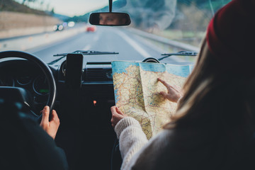 Happy couple traveling by authentic car in Europe, hipster girl holding touristic map planning route in mountains, lifestyle roadtrip travel conceptfavorite_border favorite
 Urban vector city map of St Louis, California , United States of Americafavorite_border favorite
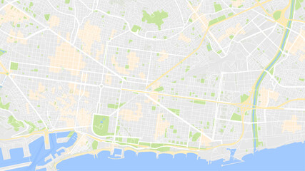 it is map city Barcelonafavorite_border favorite
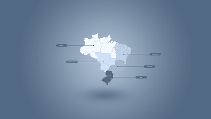 Ilustração 3D do mapa do Brasil e suas regiões em um fundo azul.favorite_border favorite
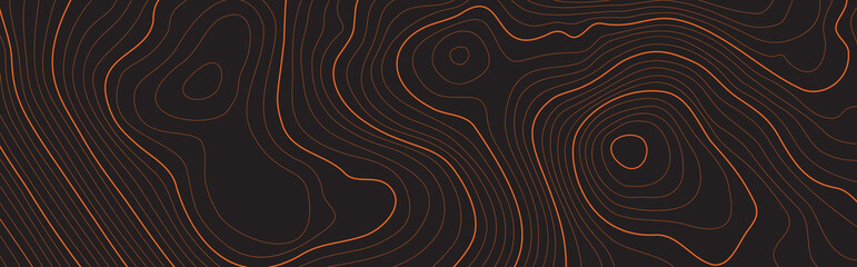 The stylized height of the topographic map contour in lines and contours. The concept map of a conditional geography scheme and the terrain path. Isolated Object. Ultra Wide size. Vector illustration.favorite_border favorite
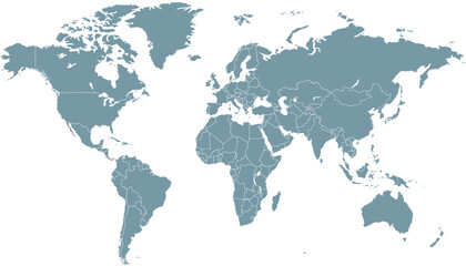 World map. Grey modern vector map. Silhouette mapfavorite_border favorite
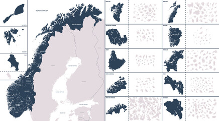 Vector color detailed map of Norway with the administrative divisions of the country, each Counties and Dependent territory is presented separately and divided into municipalitiesfavorite_border favorite
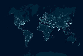 Communications network map of the worldfavorite_border favorite
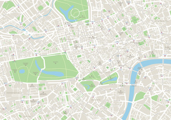 Highly detailed vector map of London.It's includes streets, parks, names of subdistricts, points of interests.favorite_border favorite
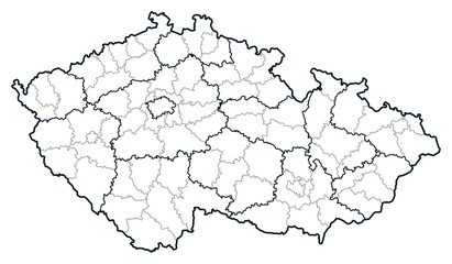 Czech republic vector map.favorite_border favorite
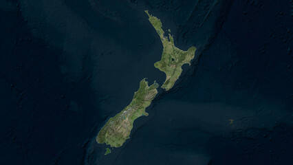 New Zealand highlighted. High-res satellite mapfavorite_border favorite
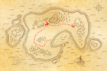 Ancient pirate map on old paper with red path to treasurefavorite_border favorite
 Vector map of Poland administrative division vol.6favorite_border favorite
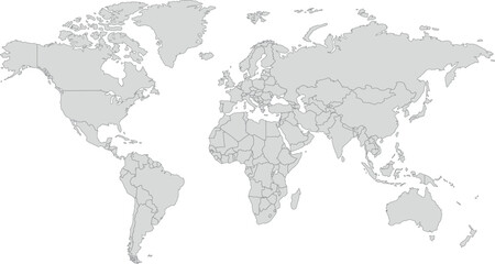 World Map – Global Countries Outline Vectorfavorite_border favorite
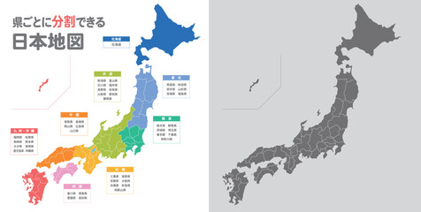 簡略化した日本地図のイラストfavorite_border favorite
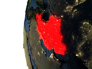 Sunset over Iran from spacefavorite_border favorite
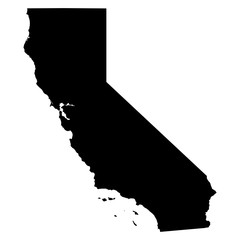 California map on white background vectorfavorite_border favorite
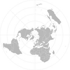 World vector map with country boundaries and graticules (UN emblem style, from 60 degrees south, north pole aeqd projection, PPT-compatible & fully editable)favorite_border favorite
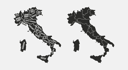 Set of Italy maps. Poster map of Italy with regions names. Blank Italy map. Map of Italy. Vector illustrationfavorite_border favorite
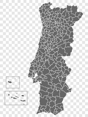 Blank map of Portugal. Departments of Portugal map. High detailed gray vector map of Portugal on transparent background with Madeira and Azores. Stock vector. EPS10.favorite_border favorite
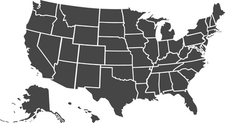 USA map with states isolated on a white background. Vector illustration of the map of the United States of America, AI-Generated Vectorfavorite_border favorite
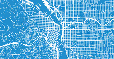 Urban vector city map of Portland, Oregon, United States of Americafavorite_border favorite
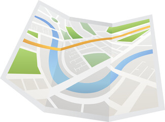 Digital image of map with directionsfavorite_border favorite
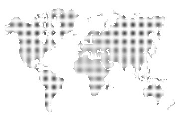 World map stylized with dots on white background. Dotted world map with continents, North and South America, Europe and Asia, Africa and Australiafavorite_border favorite
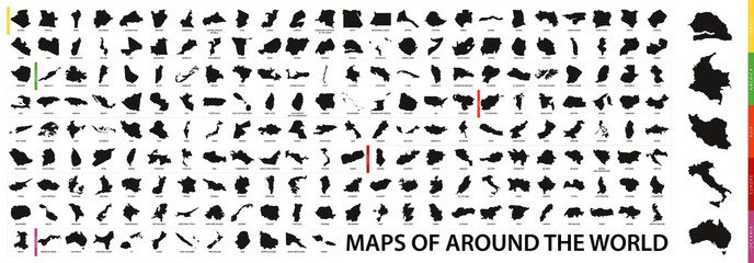 Collection of outline shape of international country map in black.favorite_border favorite
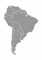 South america map illustrationfavorite_border favorite
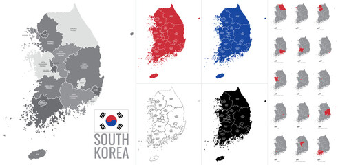 Detailed vector map of regions of South Korea with flagfavorite_border favorite
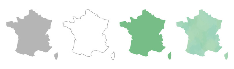 France map silhouettes in gray, outline, flat green, and watercolor texture styles.favorite_border favorite
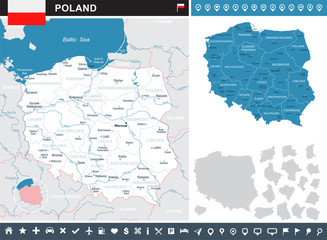 Poland - infographic map and flag illustrationfavorite_border favorite
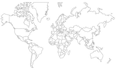 vector map of the worldfavorite_border favorite
 Black Shield with world globe icon isolated on white background. Security, safety, protection, privacy concept. Set icons colorful square buttons. Vector Illustrationfavorite_border favorite
 Road map and journey route infographics template. Winding road timeline illustration. Flat vector illustration. Eps 10favorite_border favorite
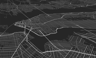 Vector black map of New yorkfavorite_border favorite
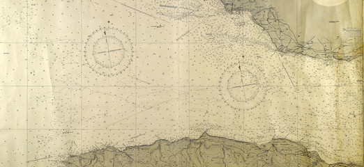 old mapfavorite_border favorite
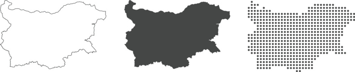 Bulgaria map detailed in outline, grey color, dotted style.favorite_border favorite
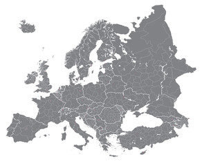 Europe vector high detailed political map with regions borders. All elements separated in detachable layersfavorite_border favorite
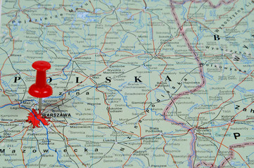 Pin pointing Warsaw on polish map in atlasfavorite_border favorite
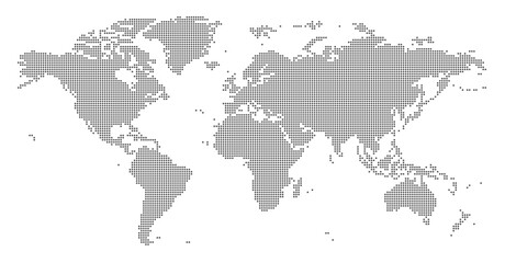 World map made up of dots. Vector illustrationfavorite_border favorite
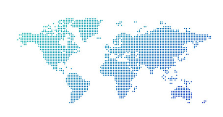 World map dotted style, vector illustration isolated on white background.favorite_border favorite
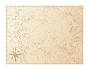 Old map isolated on white background, compass, vector illustrationfavorite_border favorite
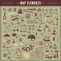 Vector illustrated set of various vintage map elementsfavorite_border favorite
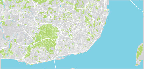 Urban vector city map of Lisbon, Portugalfavorite_border favorite
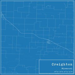 Blueprint US city map of Creighton, Missouri.favorite_border favorite
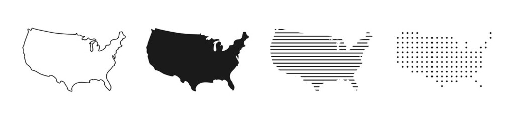 USA map. USA vector icons. American map. United States of America map in flat and lines design. Vector illustrationfavorite_border favorite
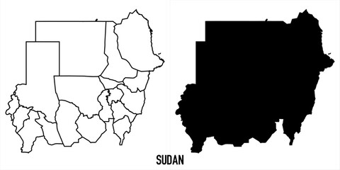 High detailed vector map - sudanfavorite_border favorite
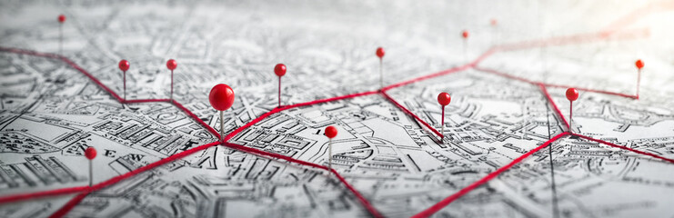 Routes with red pins on a city map. Concept on the adventure, discovery, navigation, communication, logistics, geography, transport and travel topics.favorite_border favorite
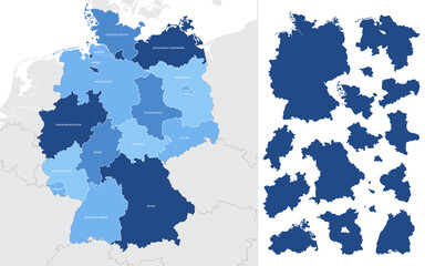 Detailed vector blue map of Germany with administrative divisions into lands and regions of the countryfavorite_border favorite
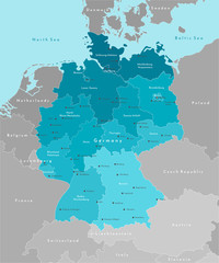 Vector modern illustration. Simplified geographical map of Germany and nearest european states. Blue background of North and Baltic seas. Names of Deutsch cities and provinces.favorite_border favorite
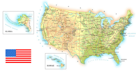 USA detailed topographic map illustration. Map contains topographic contours, country and land names, cities, water objects, flag, roads. - railwaysfavorite_border favorite
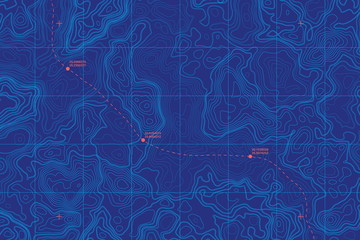 Sea Depth Topographic Map With Route And Coordinates Conceptual User Interface Blue Abstract Background. Bermuda Triangle. Topographic Cartography. Topographic Map. Topographic Atlasfavorite_border favorite
 Mountain hiking. Map line of topography. Vector abstract topographic map concept with space for your copy. 3D Cartography concep background. Map mockup infographics. World map Templatefavorite_border favorite
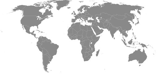 High resolution map of the world (without Antarctica) split into individual countries. Showing distinct borders between countries. Robinson projection.favorite_border favorite
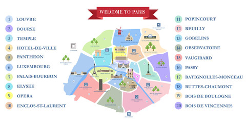 Vector detailed map of the city of Paris with its famous attractions and names.favorite_border favorite
 Canada gray map with provinces. Vector illustration.favorite_border favorite
 Vintage nautical map with compass and ship designfavorite_border favorite
 マップピン、地図マーカーのシンプルアイコンセットfavorite_border favorite
 Global network connection. World map point and line composition concept of global business. Vector Illustrationfavorite_border favorite
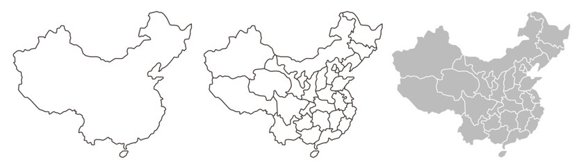 China map – vector illustration of provinces and political bordersfavorite_border favorite
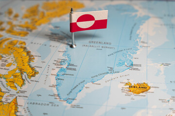 The Greenlandic flag pinpointed on a map of Greenland, representing national identity and territorial sovereignty on Arctic regionfavorite_border favorite
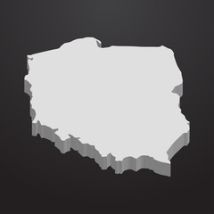 Poland map in gray on a black background 3dfavorite_border favorite
 City mapsfavorite_border favorite
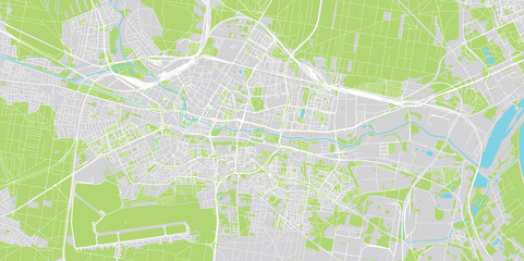 Urban vector city map of Bydgoszcz, Polandfavorite_border favorite
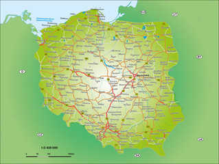 Polen 1_3,4 Miofavorite_border favorite
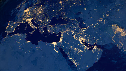 Earth photo at night, City Lights of Europe, Middle East, Turkey, Italy, Black Sea, Mediterrenian Sea from space, World map on dark globe on satellite HD photo.Elements of this image furnished by NASAfavorite_border favorite
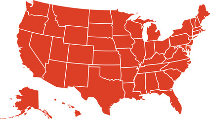 USA map with states isolated on a white background. Vector illustration of the map of the United States of America, AI-Generated Vectorfavorite_border favorite
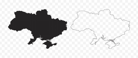 Detailed vector map of the Republic of Ukraine in solid black fill and outline versionsfavorite_border favorite
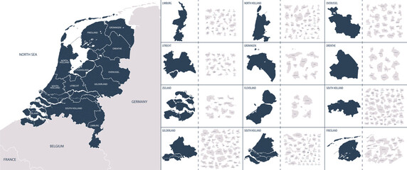 Vector color detailed map of Netherlands with the administrative divisions of the country, each Provinces is presented separately and divided into Municipalitiesfavorite_border favorite
 old map abstract vintage backgroundfavorite_border favorite
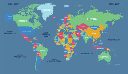 world map with all state and countries names on white backgroundfavorite_border favorite
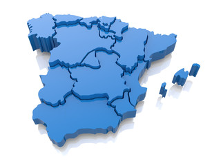 Three-dimensional map of Spain. 3dfavorite_border favorite
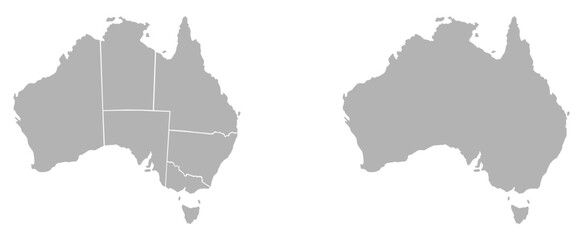 Australia country map. Useful for cartography, planning, travel and geographic design. Includes Australia, map, region, border, state, vector.favorite_border favorite
 Abstract 3D digital topographic map with glowing data points and futuristic data analytics. Technology big data and geospatial concepts. Background 3D Renderingfavorite_border favorite
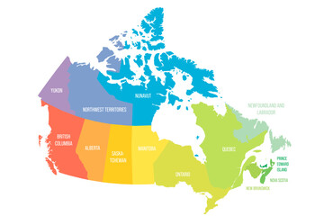 Canada political map of administrative divisionsfavorite_border favorite
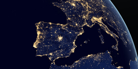 Iberian Peninsula and europe at night in the earth planet rotating from spacefavorite_border favorite
 地図作成のための素材favorite_border favorite
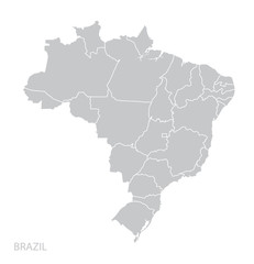 Map of Brazilfavorite_border favorite
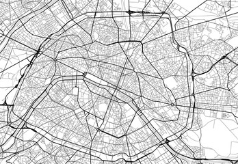 Vector city map of Paris in black and whitefavorite_border favorite
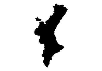 Silueta del mapa de la Comunidad Valenciana en negrofavorite_border favorite
 Route location dotted line with pointer map design vectorfavorite_border favorite
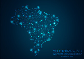 Abstract mash line and point scales on dark background with map of Brazil.3D mesh polygonal network line, design sphere, dot and structure. Vector illustration eps 10.favorite_border favorite
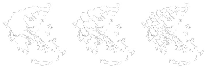 Greece map with main regions. Map of Greecefavorite_border favorite
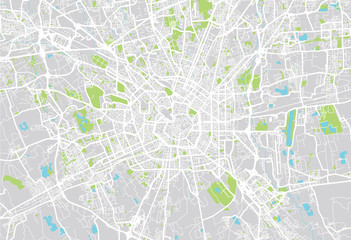 Milan city mapfavorite_border favorite
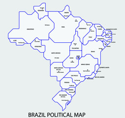 Brazil political map divide by state colorful outline simplicity style. Vector illustration.favorite_border favorite
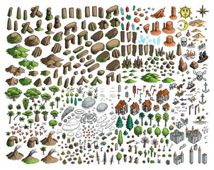 Fantasy map elements illustration, drawing, engraving, ink, line art, vectorfavorite_border favorite
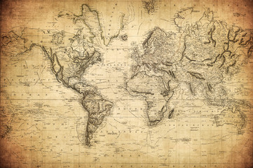 vintage map of the world 1814..favorite_border favorite
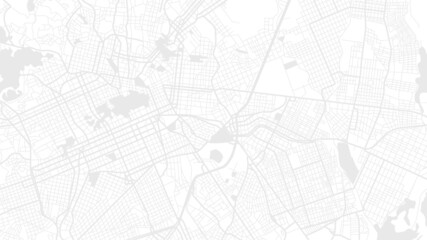 Digital web white map of Curtibafavorite_border favorite
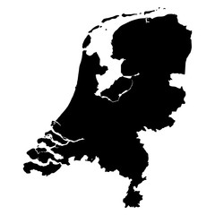 Netherlands black map on white background vectorfavorite_border favorite
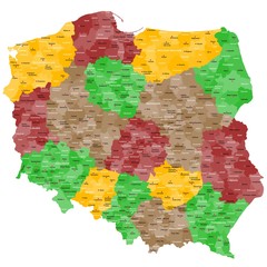 Polen Landkarte im Detailfavorite_border favorite
 Vintage Aged Parchment Paper Texture Isolated on Transparent Background Antique Old Blank Scroll for Message or Mapfavorite_border favorite
 Africa map silhouette outline vector iconfavorite_border favorite
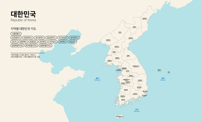 대한민국 지도-남북한 전국 지도favorite_border favorite
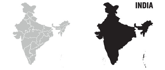 India map, India national map vector image on white backgroundfavorite_border favorite
 GPS navigator pin mock up orange color on street map of cityfavorite_border favorite
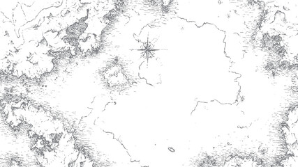 Ancient map sketch with compass rose vectorfavorite_border favorite
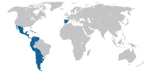 Spanish language speaking countries on map of the worldfavorite_border favorite
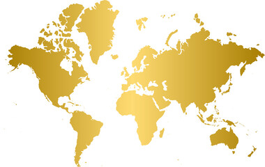 Gold world map, golden world mapfavorite_border favorite
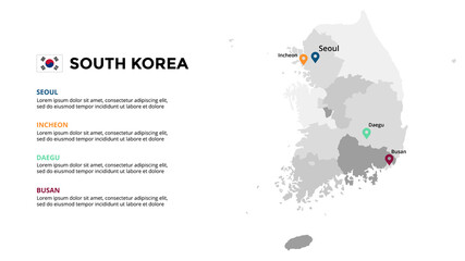 South Korea vector map infographic template. Slide presentation. Global business marketing concept. Asia country. World transportation geography data.favorite_border favorite
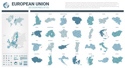 Vector maps set. High detailed 28 maps of European Union countries (member states) with administrative division and cities. Political map, map of Europe , world map, globe, infographic elements.favorite_border favorite
 All national flags of the world with names - round shape with shadow flag isolated on white backgroundfavorite_border favorite
 いろんな建物と地図の手描きイラストセット(カラー/主線なし)favorite_border favorite