-
Fantasy medieval cartography map elements, vector, drawing symbols, line art illustration
Do ulubionych favorite_border
Usuń z ulubionych favorite
-
Spain map blue white card paper 3D vector
Do ulubionych favorite_border
Usuń z ulubionych favorite
-
Do ulubionych favorite_border
Usuń z ulubionych favorite
-
Vector city map of Paris in black and white
Do ulubionych favorite_border
Usuń z ulubionych favorite
-
Red marker with a white dot on it, Location map icon vector, location Icon Clip art
Do ulubionych favorite_border
Usuń z ulubionych favorite
-
Puerto Rico map vector illustration, scribble sketch Puerto Rico
Do ulubionych favorite_border
Usuń z ulubionych favorite
-
Bright map of Ukraine with landscape, symbols
Do ulubionych favorite_border
Usuń z ulubionych favorite
-
Map Latin America. Poster map of Latin America. Black and white print map of Latin America for t-shirt, poster or geographic themes. Hand-drawn graphic map with countries. Vector Illustration
Do ulubionych favorite_border
Usuń z ulubionych favorite
-
Norway black map on white background vector
Do ulubionych favorite_border
Usuń z ulubionych favorite
-
Watercolor geographical map of the world. Physical map of the world. Realistic image. Isolated on white background
Do ulubionych favorite_border
Usuń z ulubionych favorite
-
World Map – Global Countries Outline Vector
Do ulubionych favorite_border
Usuń z ulubionych favorite
-
France map in three different styles
Do ulubionych favorite_border
Usuń z ulubionych favorite
-
3d isometric map of Iberian Peninsula region, isolated with shadow
Do ulubionych favorite_border
Usuń z ulubionych favorite
-
Übersichtskarte von Guinea-Bissau mit Landesflagge
Do ulubionych favorite_border
Usuń z ulubionych favorite
-
Transportation and connections of the world. Vector illustration created from dots and lines. logistics concept for business on white background.
Do ulubionych favorite_border
Usuń z ulubionych favorite
-
india map silhouette on transparent background
Do ulubionych favorite_border
Usuń z ulubionych favorite
-
Ancient old globe on the vintage map background. Selective focus. Retro style. Science, education, travel, vintage background. History and geography team.
Do ulubionych favorite_border
Usuń z ulubionych favorite
-
Italy map with attractive landmarks illustration.vector
Do ulubionych favorite_border
Usuń z ulubionych favorite
-
distance love concept. map distance path vector illustration minimalist style
Do ulubionych favorite_border
Usuń z ulubionych favorite
-
Global network connection. World map point and line composition concept of global business. Vector Illustration
Do ulubionych favorite_border
Usuń z ulubionych favorite
-
Blue world map on vintage paper background. watercolor style
Do ulubionych favorite_border
Usuń z ulubionych favorite
-
Game Map, Game Board, Top View. Medieval Style. Video Game's Digital CG Artwork, Colorful Concept Illustration, Realistic Cartoon Style Background
Do ulubionych favorite_border
Usuń z ulubionych favorite
-
Do ulubionych favorite_border
Usuń z ulubionych favorite
-
Urban vector city map of Wolverhampton, England
Do ulubionych favorite_border
Usuń z ulubionych favorite
-
India Political Map Vector Set with States
Do ulubionych favorite_border
Usuń z ulubionych favorite
-
Super High detail of USA map. Outline map of America on white background. Vector Illustration.
Do ulubionych favorite_border
Usuń z ulubionych favorite
-
Colombia map vector illustration on white background. Map have all province and mark the capital city of Colombia.
Do ulubionych favorite_border
Usuń z ulubionych favorite
-
vector city map of Paris, France
Do ulubionych favorite_border
Usuń z ulubionych favorite
-
world map physical boundaries
Do ulubionych favorite_border
Usuń z ulubionych favorite
-
Set of travel posters with Chicago, detailed urban street plan city map, Silhouette city skyline, vector artwork
Do ulubionych favorite_border
Usuń z ulubionych favorite
-
Vintage Physical World Map-America Centered-Colors of Brown
Do ulubionych favorite_border
Usuń z ulubionych favorite
-
Explorer using a compass and topographic map
Do ulubionych favorite_border
Usuń z ulubionych favorite
-
Berlin, Germany downtown street map
Do ulubionych favorite_border
Usuń z ulubionych favorite
-
Do ulubionych favorite_border
Usuń z ulubionych favorite
-
Poland Map Isolated on white
Do ulubionych favorite_border
Usuń z ulubionych favorite
-
vector map of Spain with borders of regions
Do ulubionych favorite_border
Usuń z ulubionych favorite
-
Contour map of Poland with rivers and lakes
Do ulubionych favorite_border
Usuń z ulubionych favorite
-
White and light grey Birmingham city area vector background map, streets and water cartography illustration.
Do ulubionych favorite_border
Usuń z ulubionych favorite
-
Poland country on world map, vector template
Do ulubionych favorite_border
Usuń z ulubionych favorite
-
Futuristic Europe outline connectivity map with lines, stars, triangles, light particles framework.
Do ulubionych favorite_border
Usuń z ulubionych favorite
-
spain province map with 2-digit zip codes
Do ulubionych favorite_border
Usuń z ulubionych favorite
-
Global network connection. World map point and line composition concept of global business. Vector Illustration
Do ulubionych favorite_border
Usuń z ulubionych favorite
-
South America viewed from space with sunrise on planet Earth and stars, overview of Amazon river and forest, night lights from cities in Brazil, Argentina, Chile, Peru, map elements from NASA, 8k
Do ulubionych favorite_border
Usuń z ulubionych favorite
-
Old geographical map of the world of the 18 century. Collage. A good background for design on the theme of travel, geography, history, voyage, etc. Ancient map background.
Do ulubionych favorite_border
Usuń z ulubionych favorite
-
Earth at night from outer space with city lights on North America continent. 3D rendering illustration. Earth map texture provided by Nasa. Energy consumption, electricity, industry, ecology concepts.
Do ulubionych favorite_border
Usuń z ulubionych favorite
-
Abstract of spain map network, internet and global connection concept, Wire Frame 3D mesh polygonal network line, design sphere, dot and structure. Vector illustration eps 10.
Do ulubionych favorite_border
Usuń z ulubionych favorite
-
Map of USA with state abbreviations
Do ulubionych favorite_border
Usuń z ulubionych favorite
-
Old colonial map of South America with a magnifying glass, compass and period glasses. Vintage style
Do ulubionych favorite_border
Usuń z ulubionych favorite
-
The Mediterranean Sea subdivisions, political map with straits, countries and the Black Sea. Connected to the Atlantic Ocean, surrounded by the Mediterranean Basin, almost completely enclosed by land.
Do ulubionych favorite_border
Usuń z ulubionych favorite
-
Generic city map with an icon
Do ulubionych favorite_border
Usuń z ulubionych favorite
-
Black and white vector city map of Manchester with well organized separated layers.
Do ulubionych favorite_border
Usuń z ulubionych favorite
-
Do ulubionych favorite_border
Usuń z ulubionych favorite
-
Red pin, push pin isolated on transparent background. 3D rendering
Do ulubionych favorite_border
Usuń z ulubionych favorite
-
Black and white vector city map of London
Do ulubionych favorite_border
Usuń z ulubionych favorite
-
Vector map of Lodz. Street map art poster illustration.
Do ulubionych favorite_border
Usuń z ulubionych favorite
-
vector map of the South American state of Peru
Do ulubionych favorite_border
Usuń z ulubionych favorite
-
South America countries political map with national borders. Continent surrounded by Pacific and Atlantic Ocean. English labeling. Illustration.
Do ulubionych favorite_border
Usuń z ulubionych favorite
-
Greenland and part of the Arctic Region, gray political map. Largest island of the world situated between the North Atlantic Ocean and the Arctic Ocean, east of the Canadian Arctic Archipelago. Vector
Do ulubionych favorite_border
Usuń z ulubionych favorite
-
Topographic map contour background, abstract mountain terrain lines
Do ulubionych favorite_border
Usuń z ulubionych favorite
-
Australia map vector set with editable country outline black silhouette and national flag design featuring blue background Union Jack and white stars isolated on white for geography and education use
Do ulubionych favorite_border
Usuń z ulubionych favorite
-
A vector graphic illustration of airplanes flying over a map of Africa with red flight routes
Do ulubionych favorite_border
Usuń z ulubionych favorite
-
3D illustration of a highly detailed world map. Elements of this image furnished by NASA.
Do ulubionych favorite_border
Usuń z ulubionych favorite
-
Nigeria map silhouette and outline vector illustration isolated on white background
Do ulubionych favorite_border
Usuń z ulubionych favorite
-
colombia country map border vector icon illustration
Do ulubionych favorite_border
Usuń z ulubionych favorite
-
Farm land with fields and houses above. Aerial view of farmland. Top panorama of agricultural landscape with meadows, plantations, roads and villages. Map of ranch. Flat vector illustration
Do ulubionych favorite_border
Usuń z ulubionych favorite
-
A map showing Fulda HE Kreise into Gemeinden in a minimalist colorful style
Do ulubionych favorite_border
Usuń z ulubionych favorite
-
Fantasy game world map vector, isometric RPG adventure landscape with diverse biomes, colorful strategy game map with mountains forests and desert terrain
Do ulubionych favorite_border
Usuń z ulubionych favorite
-
Europe and england map vector with country boundaries detailed political regions and editable geography layout
Do ulubionych favorite_border
Usuń z ulubionych favorite
-
Comprehensive global transit map with multiple curved lines representing international flight paths and transportation routes connecting major world hubs aviation transport logistics shipping
Do ulubionych favorite_border
Usuń z ulubionych favorite
-
Simplified blue silhouette world map showing continents, global geography concept, international theme, educational design, vector illustration artwork, isolated background
Do ulubionych favorite_border
Usuń z ulubionych favorite
-
Surveying Line Editable Icons set. Vector illustration in modern thin line style of land survey equipment and engineering icons: total station, theodolite, gps, drone, topographic map
Do ulubionych favorite_border
Usuń z ulubionych favorite
-
Set of vector maps of India with prefecture boundaries in three styles.
Do ulubionych favorite_border
Usuń z ulubionych favorite
-
Green map marker icon on white background, location pin symbol
Do ulubionych favorite_border
Usuń z ulubionych favorite
-
Modern minimalist vector map of Melbourne, Australia. High-quality scalable illustration of Melbourne city grid, Hoddle Grid, and Yarra River layout for posters and urban design.
Do ulubionych favorite_border
Usuń z ulubionych favorite
-
Topographic line contour map background, geographic grid map.Abstract lines background. Contour maps topo contour map on white background, Topographic contour lines.
Do ulubionych favorite_border
Usuń z ulubionych favorite
-
A contour map of Somme. French department silhouette
Do ulubionych favorite_border
Usuń z ulubionych favorite
-
Landscape tile set with 160 vector illustrations, garden map creator elements for game design, outdoor environment assets with trees and water
Do ulubionych favorite_border
Usuń z ulubionych favorite
-
colorful india map with different states
Do ulubionych favorite_border
Usuń z ulubionych favorite
-
Simple red location pin icon on a clean transparent background
Do ulubionych favorite_border
Usuń z ulubionych favorite
-
Futuristic digital world map of glowing blue dots or pixels across continents. Global connectivity with big data. Design for your UI backgrounds or FinTech projects. Vector illustration.
Do ulubionych favorite_border
Usuń z ulubionych favorite
-
Topographic map pattern with wavy lines and contours on white background
Do ulubionych favorite_border
Usuń z ulubionych favorite
-
Detailed map of iran persia with labeled cities and geographical features
Do ulubionych favorite_border
Usuń z ulubionych favorite
-
Minimalist grayscale world map vector illustration
Do ulubionych favorite_border
Usuń z ulubionych favorite
-
Minimal airplane route pattern with dashed flight paths and travel navigation line elements. Creative aviation background for tourism branding, transport graphics and modern map design projects.
Do ulubionych favorite_border
Usuń z ulubionych favorite
-
Australia map icon vector design and illustration.
Do ulubionych favorite_border
Usuń z ulubionych favorite
-
A grayscale silhouette depicts the geographical shape of austria showcasing its land borders and outline high quality professional
Do ulubionych favorite_border
Usuń z ulubionych favorite
-
Folded paper map icon with a location pin marker
Do ulubionych favorite_border
Usuń z ulubionych favorite
-
Africa map set. Black silhouette map and colored detailed map. Vector on white background.
Do ulubionych favorite_border
Usuń z ulubionych favorite
-
Old vintage fantasy map with coastline mountains and a traditional nautical compass rose illustration
Do ulubionych favorite_border
Usuń z ulubionych favorite
-
Indiana Counties Map - State Silhouette, County Outline and Labeled Map Vector
Do ulubionych favorite_border
Usuń z ulubionych favorite
-
Simple route map icon with location pin. Route dash line with location pin. Hand drawn curve dotted line vector set.
Do ulubionych favorite_border
Usuń z ulubionych favorite
-
A detailed political map of the United States of America with an abbreviated names of states2. Vector flat clipart.
Do ulubionych favorite_border
Usuń z ulubionych favorite
-
City street and transportation map of Tokyo, Japan, in black and light beige. High resolution full frame minimalist poster style road map or urban street plan of Tokyo. Vintage look.
Do ulubionych favorite_border
Usuń z ulubionych favorite
-
Modern minimalist vector map of Chicago, Illinois, USA. High-quality scalable illustration of Chicago city grid, Navy Pier, The Loop, and Michigan Lake coastline for posters and urban
Do ulubionych favorite_border
Usuń z ulubionych favorite
-
Seamless Light topographic topo contour map background, vector illustration .. Modern design with White background with topographic wavy pattern design.paper texture Imitation of a geographical map.
Do ulubionych favorite_border
Usuń z ulubionych favorite
-
World map with focus on Iran. The United States and Iran are on the brink of war. Political tension or crisis. Part of the world map. Middle Eastern countries are in focus. Selective focus. No people
Do ulubionych favorite_border
Usuń z ulubionych favorite
-
sketch design vector illustration silhouette base map of tel aviv city
Do ulubionych favorite_border
Usuń z ulubionych favorite
-
Black and white pixelated world map on with grid pattern
Do ulubionych favorite_border
Usuń z ulubionych favorite
-
Australia map icon for web and mobile app. Vector icons
Do ulubionych favorite_border
Usuń z ulubionych favorite
-
A beautifully illustrated map of Tuscany, Italy, showcasing its cities, towns, landmarks, and geographical features with artistic detail.
Do ulubionych favorite_border
Usuń z ulubionych favorite
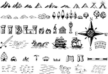 Fantasy medieval cartography map elements, vector, drawing symbols, line art illustrationfavorite_border favorite
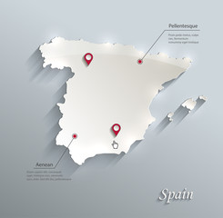 Spain map blue white card paper 3D vectorfavorite_border favorite
 Map pointerfavorite_border favorite
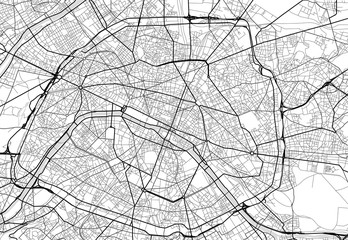 Vector city map of Paris in black and whitefavorite_border favorite
 Red marker with a white dot on it, Location map icon vector, location Icon Clip artfavorite_border favorite
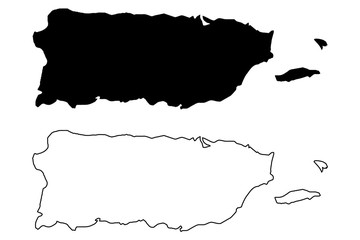 Puerto Rico map vector illustration, scribble sketch Puerto Ricofavorite_border favorite
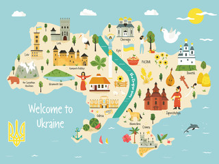 Bright map of Ukraine with landscape, symbolsfavorite_border favorite
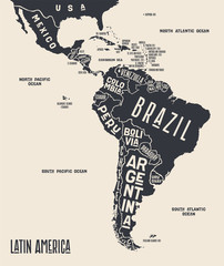 Map Latin America. Poster map of Latin America. Black and white print map of Latin America for t-shirt, poster or geographic themes. Hand-drawn graphic map with countries. Vector Illustrationfavorite_border favorite
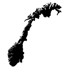 Norway black map on white background vectorfavorite_border favorite
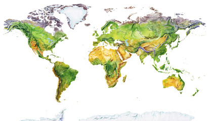 Watercolor geographical map of the world. Physical map of the world. Realistic image. Isolated on white backgroundfavorite_border favorite
 World Map – Global Countries Outline Vectorfavorite_border favorite
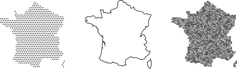 France map in three different stylesfavorite_border favorite
 3d isometric map of Iberian Peninsula region, isolated with shadowfavorite_border favorite
 Übersichtskarte von Guinea-Bissau mit Landesflaggefavorite_border favorite
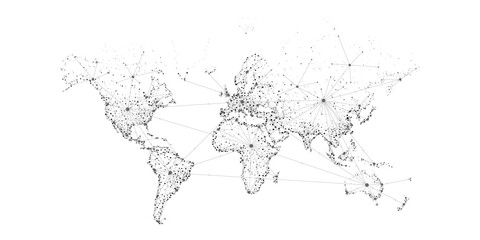 Transportation and connections of the world. Vector illustration created from dots and lines. logistics concept for business on white background.favorite_border favorite
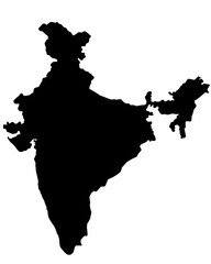 india map silhouette on transparent backgroundfavorite_border favorite
 Ancient old globe on the vintage map background. Selective focus. Retro style. Science, education, travel, vintage background. History and geography team.favorite_border favorite
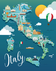 Italy map with attractive landmarks illustration.vectorfavorite_border favorite
 distance love concept. map distance path vector illustration minimalist stylefavorite_border favorite
 Global network connection. World map point and line composition concept of global business. Vector Illustrationfavorite_border favorite
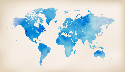 Blue world map on vintage paper background. watercolor stylefavorite_border favorite
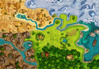 Game Map, Game Board, Top View. Medieval Style. Video Game's Digital CG Artwork, Colorful Concept Illustration, Realistic Cartoon Style Backgroundfavorite_border favorite
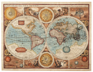 Old map (1626)favorite_border favorite
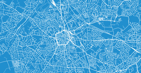 Urban vector city map of Wolverhampton, Englandfavorite_border favorite
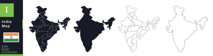 India Political Map Vector Set with Statesfavorite_border favorite
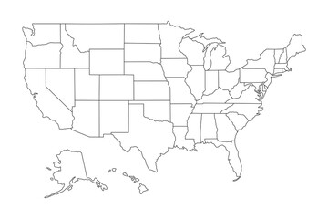 Super High detail of USA map. Outline map of America on white background. Vector Illustration.favorite_border favorite
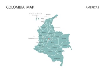 Colombia map vector illustration on white background. Map have all province and mark the capital city of Colombia.favorite_border favorite
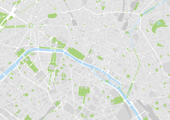 vector city map of Paris, Francefavorite_border favorite
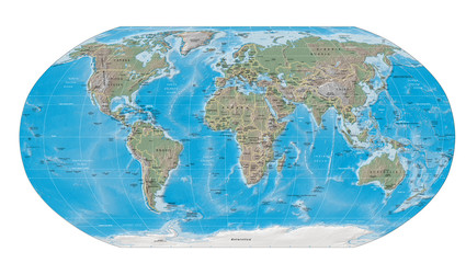 world map physical boundariesfavorite_border favorite
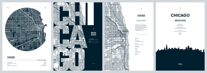 Set of travel posters with Chicago, detailed urban street plan city map, Silhouette city skyline, vector artworkfavorite_border favorite
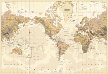 Vintage Physical World Map-America Centered-Colors of Brownfavorite_border favorite
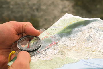 Explorer using a compass and topographic mapfavorite_border favorite
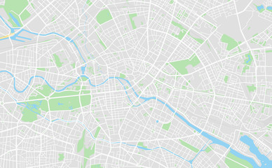 Berlin, Germany downtown street mapfavorite_border favorite
 mapfavorite_border favorite
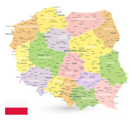 Poland Map Isolated on whitefavorite_border favorite
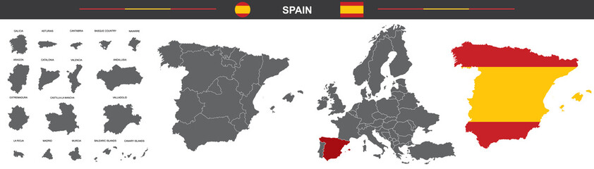 vector map of Spain with borders of regionsfavorite_border favorite
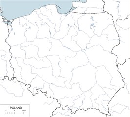 Contour map of Poland with rivers and lakesfavorite_border favorite
 White and light grey Birmingham city area vector background map, streets and water cartography illustration.favorite_border favorite
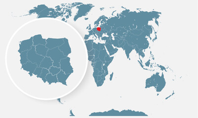 Poland country on world map, vector templatefavorite_border favorite
 Futuristic Europe outline connectivity map with lines, stars, triangles, light particles framework.favorite_border favorite
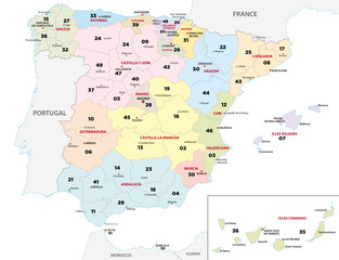 spain province map with 2-digit zip codesfavorite_border favorite
 Global network connection. World map point and line composition concept of global business. Vector Illustrationfavorite_border favorite
 South America viewed from space with sunrise on planet Earth and stars, overview of Amazon river and forest, night lights from cities in Brazil, Argentina, Chile, Peru, map elements from NASA, 8kfavorite_border favorite
 Old geographical map of the world of the 18 century. Collage. A good background for design on the theme of travel, geography, history, voyage, etc. Ancient map background.favorite_border favorite
 Earth at night from outer space with city lights on North America continent. 3D rendering illustration. Earth map texture provided by Nasa. Energy consumption, electricity, industry, ecology concepts.favorite_border favorite
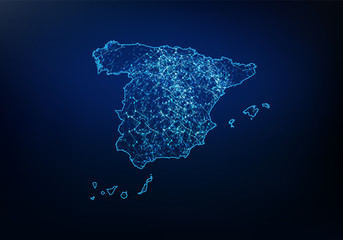 Abstract of spain map network, internet and global connection concept, Wire Frame 3D mesh polygonal network line, design sphere, dot and structure. Vector illustration eps 10.favorite_border favorite
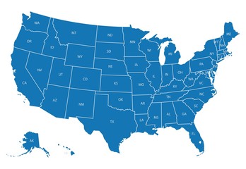 Map of USA with state abbreviationsfavorite_border favorite
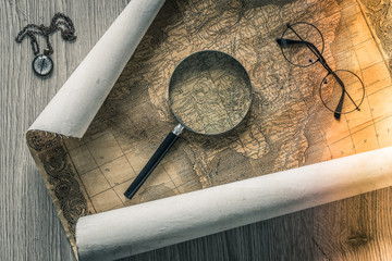 Old colonial map of South America with a magnifying glass, compass and period glasses. Vintage stylefavorite_border favorite
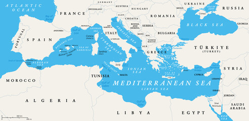 The Mediterranean Sea subdivisions, political map with straits, countries and the Black Sea. Connected to the Atlantic Ocean, surrounded by the Mediterranean Basin, almost completely enclosed by land.favorite_border favorite
 Generic city map with an iconfavorite_border favorite
 Black and white vector city map of Manchester with well organized separated layers.favorite_border favorite
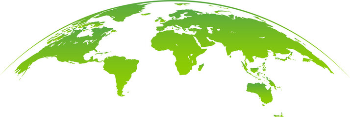 Green planet earth PNGfavorite_border favorite
 Red pin, push pin isolated on transparent background. 3D renderingfavorite_border favorite
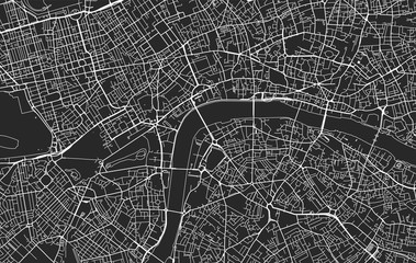 Black and white vector city map of Londonfavorite_border favorite
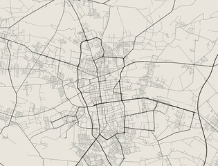 Vector map of Lodz. Street map art poster illustration.favorite_border favorite
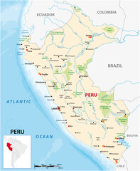 vector map of the South American state of Perufavorite_border favorite
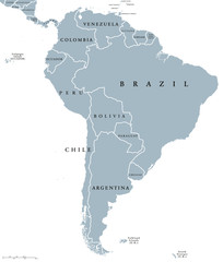 South America countries political map with national borders. Continent surrounded by Pacific and Atlantic Ocean. English labeling. Illustration.favorite_border favorite
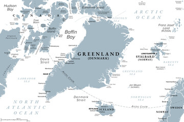 Greenland and part of the Arctic Region, gray political map. Largest island of the world situated between the North Atlantic Ocean and the Arctic Ocean, east of the Canadian Arctic Archipelago. Vectorfavorite_border favorite
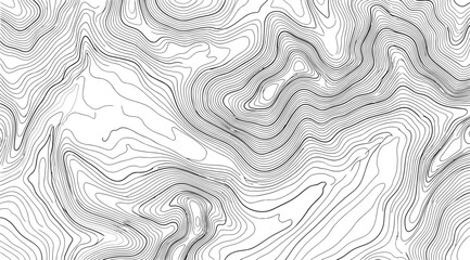 Topographic map contour background, abstract mountain terrain linesfavorite_border favorite
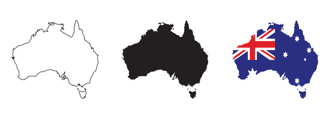 Australia map vector set with editable country outline black silhouette and national flag design featuring blue background Union Jack and white stars isolated on white for geography and education usefavorite_border favorite
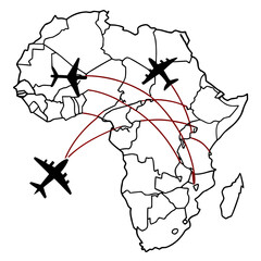 A vector graphic illustration of airplanes flying over a map of Africa with red flight routesfavorite_border favorite
 3D illustration of a highly detailed world map. Elements of this image furnished by NASA.favorite_border favorite
 Nigeria map silhouette and outline vector illustration isolated on white backgroundfavorite_border favorite
 colombia country map border vector icon illustrationfavorite_border favorite
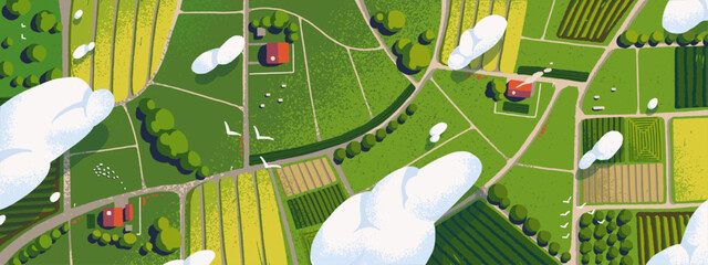 Farm land with fields and houses above. Aerial view of farmland. Top panorama of agricultural landscape with meadows, plantations, roads and villages. Map of ranch. Flat vector illustrationfavorite_border favorite
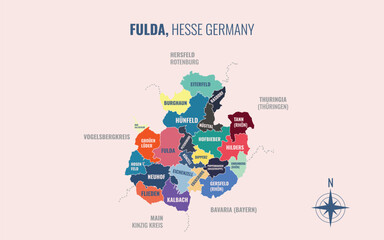 A map showing Fulda HE Kreise into Gemeinden in a minimalist colorful stylefavorite_border favorite
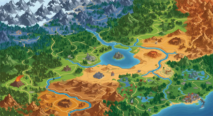 Fantasy game world map vector, isometric RPG adventure landscape with diverse biomes, colorful strategy game map with mountains forests and desert terrainfavorite_border favorite
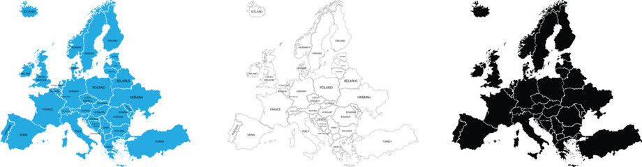 Europe and england map vector with country boundaries detailed political regions and editable geography layoutfavorite_border favorite
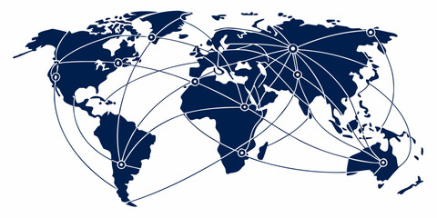 Comprehensive global transit map with multiple curved lines representing international flight paths and transportation routes connecting major world hubs aviation transport logistics shippingfavorite_border favorite
 Simplified blue silhouette world map showing continents, global geography concept, international theme, educational design, vector illustration artwork, isolated backgroundfavorite_border favorite
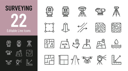 Surveying Line Editable Icons set. Vector illustration in modern thin line style of land survey equipment and engineering icons: total station, theodolite, gps, drone, topographic mapfavorite_border favorite
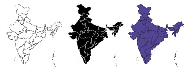 Set of vector maps of India with prefecture boundaries in three styles.favorite_border favorite
 Green map marker icon on white background, location pin symbolfavorite_border favorite
 Modern minimalist vector map of Melbourne, Australia. High-quality scalable illustration of Melbourne city grid, Hoddle Grid, and Yarra River layout for posters and urban design.favorite_border favorite
 Topographic line contour map background, geographic grid map.Abstract lines background. Contour maps topo contour map on white background, Topographic contour lines.favorite_border favorite
 A contour map of Somme. French department silhouettefavorite_border favorite
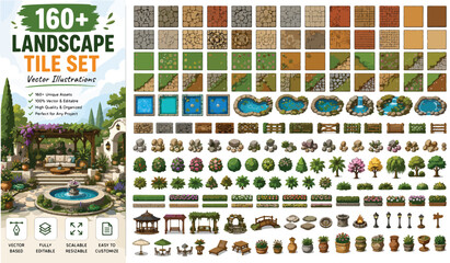 Landscape tile set with 160 vector illustrations, garden map creator elements for game design, outdoor environment assets with trees and waterfavorite_border favorite
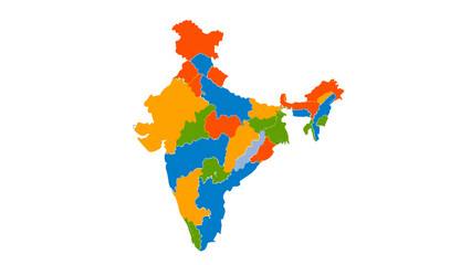 colorful india map with different statesfavorite_border favorite
 Simple red location pin icon on a clean transparent backgroundfavorite_border favorite
 Futuristic digital world map of glowing blue dots or pixels across continents. Global connectivity with big data. Design for your UI backgrounds or FinTech projects. Vector illustration.favorite_border favorite
 Topographic map pattern with wavy lines and contours on white backgroundfavorite_border favorite
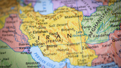 Detailed map of iran persia with labeled cities and geographical featuresfavorite_border favorite
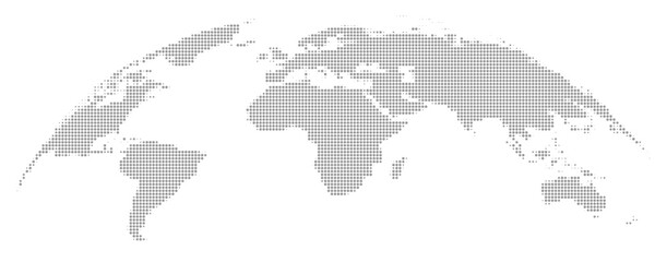 Minimalist grayscale world map vector illustrationfavorite_border favorite
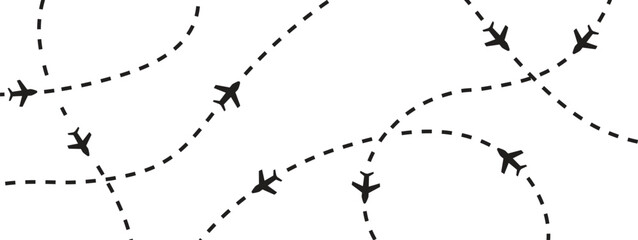 Minimal airplane route pattern with dashed flight paths and travel navigation line elements. Creative aviation background for tourism branding, transport graphics and modern map design projects.favorite_border favorite
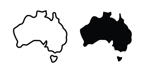 Australia map icon vector design and illustration.favorite_border favorite
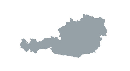 A grayscale silhouette depicts the geographical shape of austria showcasing its land borders and outline high quality professionalfavorite_border favorite
 Folded paper map icon with a location pin markerfavorite_border favorite
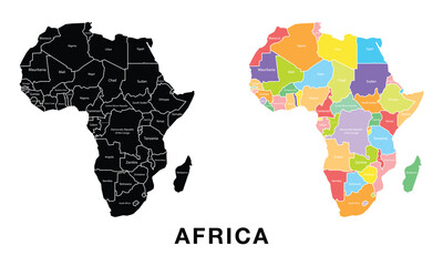 Africa map set. Black silhouette map and colored detailed map. Vector on white background.favorite_border favorite
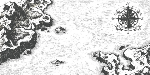 Old vintage fantasy map with coastline mountains and a traditional nautical compass rose illustrationfavorite_border favorite
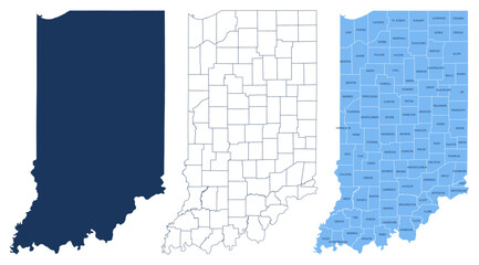 Indiana Counties Map - State Silhouette, County Outline and Labeled Map Vectorfavorite_border favorite
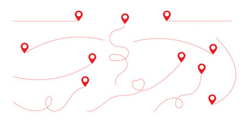 Simple route map icon with location pin. Route dash line with location pin. Hand drawn curve dotted line vector set.favorite_border favorite
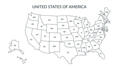 A detailed political map of the United States of America with an abbreviated names of states2. Vector flat clipart.favorite_border favorite
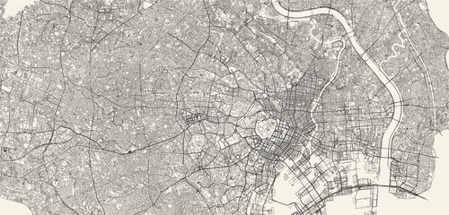 City street and transportation map of Tokyo, Japan, in black and light beige. High resolution full frame minimalist poster style road map or urban street plan of Tokyo. Vintage look.favorite_border favorite
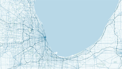 Modern minimalist vector map of Chicago, Illinois, USA. High-quality scalable illustration of Chicago city grid, Navy Pier, The Loop, and Michigan Lake coastline for posters and urbanfavorite_border favorite
 Seamless Light topographic topo contour map background, vector illustration .. Modern design with White background with topographic wavy pattern design.paper texture Imitation of a geographical map.favorite_border favorite
 World map with focus on Iran. The United States and Iran are on the brink of war. Political tension or crisis. Part of the world map. Middle Eastern countries are in focus. Selective focus. No peoplefavorite_border favorite
 sketch design vector illustration silhouette base map of tel aviv cityfavorite_border favorite
 Black and white pixelated world map on with grid patternfavorite_border favorite
 Australia map icon for web and mobile app. Vector iconsfavorite_border favorite
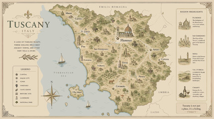 A beautifully illustrated map of Tuscany, Italy, showcasing its cities, towns, landmarks, and geographical features with artistic detail.favorite_border favorite