-
Red Map Outlines Of Great Britain Composed Of Dots Solid Fill And Outline country
Do ulubionych favorite_border
Usuń z ulubionych favorite
-
Greater london boroughs map illustration with black white and outline variations for navigation and planning
Do ulubionych favorite_border
Usuń z ulubionych favorite
-
Indonesia country vector map in minimalist style. Simple black outline illustration of the country map.Indonesia silhouettes linear and black illustration. Black and white map. Vector editable
Do ulubionych favorite_border
Usuń z ulubionych favorite
-
Political middle east asia map, infographic. Detailed middle east arab asia map territory, regional nations. Global asia map middle east borders. Iran, Israel, Saudi Arabia. Vector Illustration
Do ulubionych favorite_border
Usuń z ulubionych favorite
-
Do ulubionych favorite_border
Usuń z ulubionych favorite
-
Curved World map earth globe with dot pattern. Halftone pixel texture, isolated world map. Vector international business, travel abstract political concept
Do ulubionych favorite_border
Usuń z ulubionych favorite
-
Map of Italy plain set. Italy map blank set.
Do ulubionych favorite_border
Usuń z ulubionych favorite
-
Simple red outline vector map of the United States of America with blank state borders isolated on white background
Do ulubionych favorite_border
Usuń z ulubionych favorite
-
Striking silhouette of senegal map design
Do ulubionych favorite_border
Usuń z ulubionych favorite
-
Set of world flags, collection of national flags from around the world, vector illustration
Do ulubionych favorite_border
Usuń z ulubionych favorite
-
A minimalist black and white line art illustration of the global world map on a plain background. Vector, illustration
Do ulubionych favorite_border
Usuń z ulubionych favorite
-
Colorful map of the United States of America. USA borders in a flat style isolated on white background. Vector template.
Do ulubionych favorite_border
Usuń z ulubionych favorite
-
Minimal topography map area wallpaper. vector topo paper lines. Topographic contour lines grid map pattern. Geographic mountain relief. Contour hiking design.
Do ulubionych favorite_border
Usuń z ulubionych favorite
-
Europe with countries Map grey
Do ulubionych favorite_border
Usuń z ulubionych favorite
-
Washington DC map outline and silhouette
Do ulubionych favorite_border
Usuń z ulubionych favorite
-
City street map of New York, USA, in black and light beige. High resolution full frame minimalist poster style road map or urban street plan of New York. Vintage look.
Do ulubionych favorite_border
Usuń z ulubionych favorite
-
Vector illustration. Topographic map templates. Contour lines, dotted paths, and pin icons on a perspective grid background. Minimalist vintage design for social media background, web banner
Do ulubionych favorite_border
Usuń z ulubionych favorite
-
Black and white topographic map background. Topographic map lines. Monochrome topographic terrain lines with space for text.
Do ulubionych favorite_border
Usuń z ulubionych favorite
-
Simple world map in gray with white country outlines on transparent background, clean political geography illustration
Do ulubionych favorite_border
Usuń z ulubionych favorite
-
World map with Egypt highlighted in red global travel c
Do ulubionych favorite_border
Usuń z ulubionych favorite
-
Map line topography and topographic pattern background with military paper texture and mountain terrain. Digital marine chart and vintage compass shape nautical for graphic design.
Do ulubionych favorite_border
Usuń z ulubionych favorite
-
world map halftone dotted globe background black dot earth vector illustration
Do ulubionych favorite_border
Usuń z ulubionych favorite
-
USA map with states isolated on a white background. Vector illustration of the map of the United States of America, AI-Generated Vector
Do ulubionych favorite_border
Usuń z ulubionych favorite
-
Cartoon 3D red geotag vector icon set with thumbtack, push pin, and flag isolated on white background for GPS and travel apps
Do ulubionych favorite_border
Usuń z ulubionych favorite
-
Business road map timeline infographic concept with 5 step, option, process. Business Events annual business presentation. Vector illustration.
Do ulubionych favorite_border
Usuń z ulubionych favorite
-
Middle East map set. Black silhouette map and colored detailed map. Vector on white background.
Do ulubionych favorite_border
Usuń z ulubionych favorite
-
Art line area backdrop map contour topography texture ocean compass for military and trail vector travel discovery.Design materials.Abstract bacground. Vector illustration.
Do ulubionych favorite_border
Usuń z ulubionych favorite
-
Location pin icon, minimal map marker vector navigation apps geotag pointer marking place position symbol clean destination pictogram concept
Do ulubionych favorite_border
Usuń z ulubionych favorite
-
Outline map of Texas state with county borders on an isolated white background.
Do ulubionych favorite_border
Usuń z ulubionych favorite
-
Black and white illustration of a world map in a pixelated style
Do ulubionych favorite_border
Usuń z ulubionych favorite
-
Minimalist oman map in monochrome
Do ulubionych favorite_border
Usuń z ulubionych favorite
-
Home map pin locator vector icon. Solid black and white minimal navigation markers for real estate location, house address placement, tracking, and property search.
Do ulubionych favorite_border
Usuń z ulubionych favorite
-
Vector graphic artwork suitable for print and web containing flat detailed map of IVORY COAST
Do ulubionych favorite_border
Usuń z ulubionych favorite
-
Estonia political map of administrative divisions - counties. Grey handdrawn doodle style map with black outline borders and name labels.
Do ulubionych favorite_border
Usuń z ulubionych favorite
-
North America Detailed Vector Map Set: Continent, Countries, States, Provinces. Customizable Geographic Elements.
Do ulubionych favorite_border
Usuń z ulubionych favorite
-
Blue glowing linear world map concept. Abstract neon lined globe worldmap for poster, banner, brochure, flyer, booklet, presentation. Curved line continent infographics wallpaper. Vector illustration
Do ulubionych favorite_border
Usuń z ulubionych favorite
-
India dotted digital map for data visualization design
Do ulubionych favorite_border
Usuń z ulubionych favorite
-
Middle East map set. Halftone dotted map. Vector Illustration.
Do ulubionych favorite_border
Usuń z ulubionych favorite
-
Generic city transit map with colorful subway and metro lines
Do ulubionych favorite_border
Usuń z ulubionych favorite
-
Modern minimalist vector map of Dallas, Texas, USA. High-quality scalable illustration of Dallas city grid, downtown, and DFW metroplex for posters and urban design.
Do ulubionych favorite_border
Usuń z ulubionych favorite
-
Topography background. Vector banner. Topography map background. Vector geographic contour map. Background of the topographic map. Topographic map lines, contour background.
Do ulubionych favorite_border
Usuń z ulubionych favorite
-
A simple vector map of the United States of America with all 50 states clearly labeled. The state of Rhode Island is highlighted in red on a light blue background.
Do ulubionych favorite_border
Usuń z ulubionych favorite
-
Colorful subway network map with interconnected metro lines and station routes, fictional underground transit layout showing paths, transfers and city rail structure flat vector illustration.
Do ulubionych favorite_border
Usuń z ulubionych favorite
-
Compass vector illustration on white background
Do ulubionych favorite_border
Usuń z ulubionych favorite
-
Do ulubionych favorite_border
Usuń z ulubionych favorite
-
Asia Continent Line Map Set with White Blue and Grey Color Variations
Do ulubionych favorite_border
Usuń z ulubionych favorite
-
A dotted world map illustration showing continental outlines and oceanic spaces
Do ulubionych favorite_border
Usuń z ulubionych favorite
-
Minimalist black line vector icon illustration of a retail store or shop building with a location map pin pointer on top, symbolizing local business, physical outlet, or shop finder.
Do ulubionych favorite_border
Usuń z ulubionych favorite
-
Kansas Counties Map with Labels – State Silhouette and County Boundaries Vector
Do ulubionych favorite_border
Usuń z ulubionych favorite
-
A colorful topographic map of the Earth, showing land elevations on a blue background
Do ulubionych favorite_border
Usuń z ulubionych favorite
-
Dot matrix world map illustration depicting global geography and continents
Do ulubionych favorite_border
Usuń z ulubionych favorite
-
Spain country border map outline and silhouette vector graphic isolated image decal
Do ulubionych favorite_border
Usuń z ulubionych favorite
-
Fantasy map icons collection, vintage sketch style
Do ulubionych favorite_border
Usuń z ulubionych favorite
-
World map with blue and green gradient halftone dots. A global world map created from a blue and green gradient halftone dot pattern, forming a clean and modern geographic silhouette.
Do ulubionych favorite_border
Usuń z ulubionych favorite
-
Greater london administrative map with colored and outlined boroughs on white background for navigation and planning purposes effectively
Do ulubionych favorite_border
Usuń z ulubionych favorite
-
Maps icon set. Editable stroke. Containing maps, location, GPS, navigation, city map, atlas, route, direction, pin and more. Outline Icon Collection.
Do ulubionych favorite_border
Usuń z ulubionych favorite
-
Topographic map background geographic line map with elevation assignments. Modern design with White background with topographic wavy pattern design.Cartography or terrain path concept
Do ulubionych favorite_border
Usuń z ulubionych favorite
-
Locations marked with pins on world map, global communication network, closeup
Do ulubionych favorite_border
Usuń z ulubionych favorite
-
Do ulubionych favorite_border
Usuń z ulubionych favorite
-
Aged parchment map with star symbol vintage
Do ulubionych favorite_border
Usuń z ulubionych favorite
-
Flat Europe detail flat map with transparent coutries outlines. Europe continent. Transparent background. Euripean continent business background. Map template for infographics. Top view.
Do ulubionych favorite_border
Usuń z ulubionych favorite
-
Ukraine map isolated on white background
Do ulubionych favorite_border
Usuń z ulubionych favorite
-
2d illustration Safety concept: Closed Padlock on digital background
Do ulubionych favorite_border
Usuń z ulubionych favorite
-
United Kingdom or UK dotted map with grunge texture in dot style. Abstract vector illustration of a country map with halftone effect for infographic.
Do ulubionych favorite_border
Usuń z ulubionych favorite
-
set of 3 maps of Philippines - vector illustrations
Do ulubionych favorite_border
Usuń z ulubionych favorite
-
Do ulubionych favorite_border
Usuń z ulubionych favorite
-
USA, Canada, Mexico border map. North America countries vector map.
Do ulubionych favorite_border
Usuń z ulubionych favorite
-
India grey map with administrative divisions. Vector illustration.
Do ulubionych favorite_border
Usuń z ulubionych favorite
-
Location services as destination GPS pin point on map tiny persons concept
Do ulubionych favorite_border
Usuń z ulubionych favorite
-
Do ulubionych favorite_border
Usuń z ulubionych favorite
-
Do ulubionych favorite_border
Usuń z ulubionych favorite
-
Europe simple maps flat illustration
Do ulubionych favorite_border
Usuń z ulubionych favorite
-
vector street map of greek mediterranean island crete
Do ulubionych favorite_border
Usuń z ulubionych favorite
-
Vintage old paper texture vector background. Brown old sheet with stripes and compass. Antique parchment for map EPS10
Do ulubionych favorite_border
Usuń z ulubionych favorite
-
Blue map of Brisbane city, linear print map. Cityscape panorama.
Do ulubionych favorite_border
Usuń z ulubionych favorite
-
benelux map set isolated on white background.netherlands Luxembourg Belgium map
Do ulubionych favorite_border
Usuń z ulubionych favorite
-
Modern Infographic Template
Do ulubionych favorite_border
Usuń z ulubionych favorite
-
Sweden map with selected regions in black color on a white background
Do ulubionych favorite_border
Usuń z ulubionych favorite
-
Carte Europe avec capitales - Texture vintage rétro - Textes français - Vecteur CMJN
Do ulubionych favorite_border
Usuń z ulubionych favorite
-
Vintage retro textured old map of United States of America vector illustration
Do ulubionych favorite_border
Usuń z ulubionych favorite
-
Political map of North American countries Canada, United States of America, Mexico with administrative divisions. Central American Countries and Caribbean Region. Colorful blank map. Vector
Do ulubionych favorite_border
Usuń z ulubionych favorite
-
Grid paper with dots. Square graph background. Architect project texture. School math sheet. Notebook pattern. Checkered backdrop of map. Geometric banner. Technical blank. Vector illustration
Do ulubionych favorite_border
Usuń z ulubionych favorite
-
Set of TANZANIA Maps with Main Map and Regional maps
Do ulubionych favorite_border
Usuń z ulubionych favorite
-
Abstract topographic lines in blue, purple and teal tones over a dark background. Texture of lines. Geodesy topographic map background. Copy space
Do ulubionych favorite_border
Usuń z ulubionych favorite
-
Black detailed blank political map of BAHRAIN with white borders on transparent background using orthographic projection of the gray Middle East
Do ulubionych favorite_border
Usuń z ulubionych favorite
-
Set of map pin location icons. Modern map markers. Map pin place marker. Location icon. Map marker pointer icon set.
Do ulubionych favorite_border
Usuń z ulubionych favorite
-
Madeira map of islands regions districts vector black on white and outline
Do ulubionych favorite_border
Usuń z ulubionych favorite
-
United States of America map. USA map with and without states isolated, vector
Do ulubionych favorite_border
Usuń z ulubionych favorite
-
City planning. Urban big data map. Smart city. People activity analysis. Urban clusters hotspots. Megapolis monitoring technology.
Do ulubionych favorite_border
Usuń z ulubionych favorite
-
location marker, diverse map pin vector icons set. Ideal for mapping, navigation apps, websites. standard pins, circular markers, house shape, pushpin
Do ulubionych favorite_border
Usuń z ulubionych favorite
-
Layered editable vector illustration outline of London city map.
Do ulubionych favorite_border
Usuń z ulubionych favorite
-
Detailed Dotted World Map Vector
Do ulubionych favorite_border
Usuń z ulubionych favorite
-
Curved world map grey isolated on white background
Do ulubionych favorite_border
Usuń z ulubionych favorite
-
surveyor working with forest topography map in digital tablet. land surveying
Do ulubionych favorite_border
Usuń z ulubionych favorite
-
3D top view of a map with destination location point 004
Do ulubionych favorite_border
Usuń z ulubionych favorite
-
South Korea Map 3d. National map 3D rendering set in Asia continent.
Do ulubionych favorite_border
Usuń z ulubionych favorite
-
Miniature people: small figurine of lonely young traveler walking on big map
Do ulubionych favorite_border
Usuń z ulubionych favorite
-
Dotted line path showing a winding route between two map location pins, one black and one red, isolated on transparent background
Do ulubionych favorite_border
Usuń z ulubionych favorite
-
Vector fill, stroke with fill and dotted USA California map
Do ulubionych favorite_border
Usuń z ulubionych favorite
-
Urban vector city map of Vancouver, Canada
Do ulubionych favorite_border
Usuń z ulubionych favorite
 Red Map Outlines Of Great Britain Composed Of Dots Solid Fill And Outline countryfavorite_border favorite
 Greater london boroughs map illustration with black white and outline variations for navigation and planningfavorite_border favorite
 Indonesia country vector map in minimalist style. Simple black outline illustration of the country map.Indonesia silhouettes linear and black illustration. Black and white map. Vector editablefavorite_border favorite
 Political middle east asia map, infographic. Detailed middle east arab asia map territory, regional nations. Global asia map middle east borders. Iran, Israel, Saudi Arabia. Vector Illustrationfavorite_border favorite
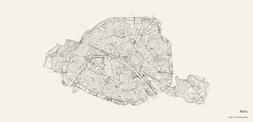 Vector map of Parisfavorite_border favorite
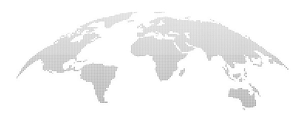 Curved World map earth globe with dot pattern. Halftone pixel texture, isolated world map. Vector international business, travel abstract political conceptfavorite_border favorite
 Map of Italy plain set. Italy map blank set.favorite_border favorite
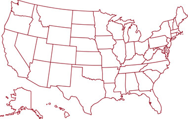 Simple red outline vector map of the United States of America with blank state borders isolated on white backgroundfavorite_border favorite
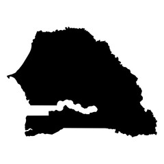 Striking silhouette of senegal map designfavorite_border favorite
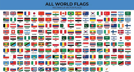 Set of world flags, collection of national flags from around the world, vector illustrationfavorite_border favorite
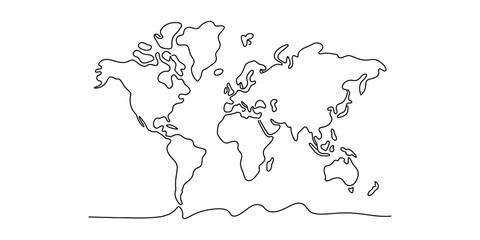 A minimalist black and white line art illustration of the global world map on a plain background. Vector, illustrationfavorite_border favorite
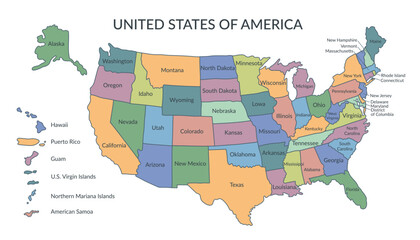 Colorful map of the United States of America. USA borders in a flat style isolated on white background. Vector template.favorite_border favorite
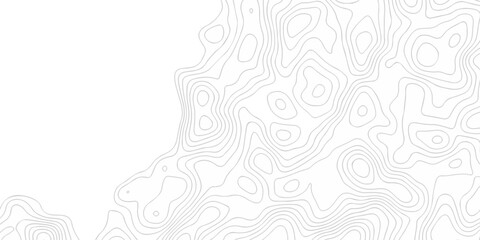 Minimal topography map area wallpaper. vector topo paper lines. Topographic contour lines grid map pattern. Geographic mountain relief. Contour hiking design.favorite_border favorite
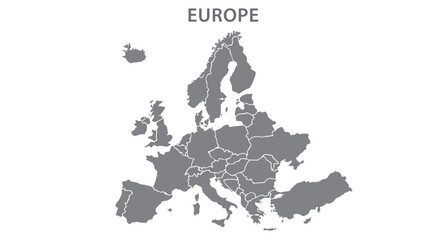 Europe with countries Map greyfavorite_border favorite
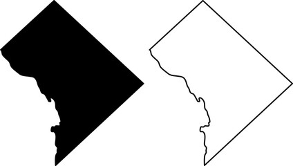 Washington DC map outline and silhouettefavorite_border favorite
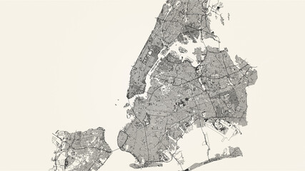 City street map of New York, USA, in black and light beige. High resolution full frame minimalist poster style road map or urban street plan of New York. Vintage look.favorite_border favorite
 Vector illustration. Topographic map templates. Contour lines, dotted paths, and pin icons on a perspective grid background. Minimalist vintage design for social media background, web bannerfavorite_border favorite
 Black and white topographic map background. Topographic map lines. Monochrome topographic terrain lines with space for text.favorite_border favorite
 Simple world map in gray with white country outlines on transparent background, clean political geography illustrationfavorite_border favorite
 World map with Egypt highlighted in red global travel cfavorite_border favorite
 Map line topography and topographic pattern background with military paper texture and mountain terrain. Digital marine chart and vintage compass shape nautical for graphic design.favorite_border favorite
 world map halftone dotted globe background black dot earth vector illustrationfavorite_border favorite
 USA map with states isolated on a white background. Vector illustration of the map of the United States of America, AI-Generated Vectorfavorite_border favorite
 Cartoon 3D red geotag vector icon set with thumbtack, push pin, and flag isolated on white background for GPS and travel appsfavorite_border favorite
 Business road map timeline infographic concept with 5 step, option, process. Business Events annual business presentation. Vector illustration.favorite_border favorite
 Middle East map set. Black silhouette map and colored detailed map. Vector on white background.favorite_border favorite
 Art line area backdrop map contour topography texture ocean compass for military and trail vector travel discovery.Design materials.Abstract bacground. Vector illustration.favorite_border favorite
 Location pin icon, minimal map marker vector navigation apps geotag pointer marking place position symbol clean destination pictogram conceptfavorite_border favorite
 Outline map of Texas state with county borders on an isolated white background.favorite_border favorite
 Black and white illustration of a world map in a pixelated stylefavorite_border favorite
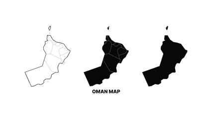 Minimalist oman map in monochromefavorite_border favorite
 Home map pin locator vector icon. Solid black and white minimal navigation markers for real estate location, house address placement, tracking, and property search.favorite_border favorite
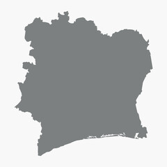 Vector graphic artwork suitable for print and web containing flat detailed map of IVORY COASTfavorite_border favorite
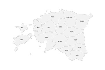 Estonia political map of administrative divisions - counties. Grey handdrawn doodle style map with black outline borders and name labels.favorite_border favorite
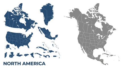 North America Detailed Vector Map Set: Continent, Countries, States, Provinces. Customizable Geographic Elements.favorite_border favorite
 Blue glowing linear world map concept. Abstract neon lined globe worldmap for poster, banner, brochure, flyer, booklet, presentation. Curved line continent infographics wallpaper. Vector illustrationfavorite_border favorite
 India dotted digital map for data visualization designfavorite_border favorite
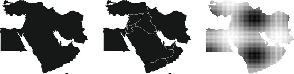 Middle East map set. Halftone dotted map. Vector Illustration.favorite_border favorite
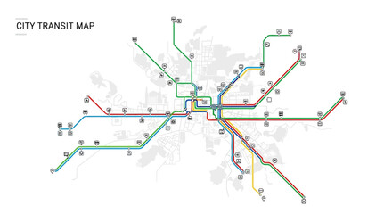 Generic city transit map with colorful subway and metro linesfavorite_border favorite
 Modern minimalist vector map of Dallas, Texas, USA. High-quality scalable illustration of Dallas city grid, downtown, and DFW metroplex for posters and urban design.favorite_border favorite
 Topography background. Vector banner. Topography map background. Vector geographic contour map. Background of the topographic map. Topographic map lines, contour background.favorite_border favorite
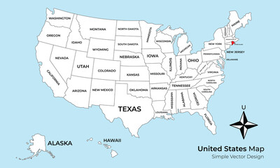 A simple vector map of the United States of America with all 50 states clearly labeled. The state of Rhode Island is highlighted in red on a light blue background.favorite_border favorite
 Colorful subway network map with interconnected metro lines and station routes, fictional underground transit layout showing paths, transfers and city rail structure flat vector illustration.favorite_border favorite
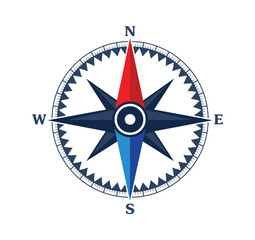 Compass vector illustration on white backgroundfavorite_border favorite
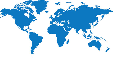 blue world mapfavorite_border favorite
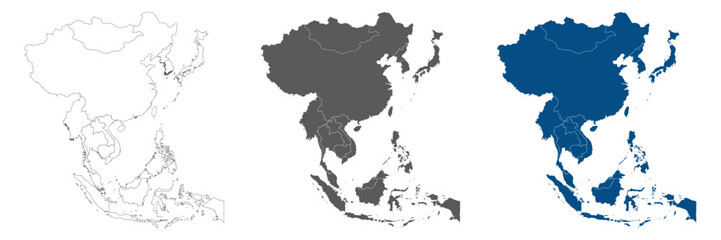 Asia Continent Line Map Set with White Blue and Grey Color Variationsfavorite_border favorite
 A dotted world map illustration showing continental outlines and oceanic spacesfavorite_border favorite
 Minimalist black line vector icon illustration of a retail store or shop building with a location map pin pointer on top, symbolizing local business, physical outlet, or shop finder.favorite_border favorite
 Kansas Counties Map with Labels – State Silhouette and County Boundaries Vectorfavorite_border favorite
 A colorful topographic map of the Earth, showing land elevations on a blue backgroundfavorite_border favorite
 Dot matrix world map illustration depicting global geography and continentsfavorite_border favorite
 Spain country border map outline and silhouette vector graphic isolated image decalfavorite_border favorite
 Fantasy map icons collection, vintage sketch stylefavorite_border favorite
 World map with blue and green gradient halftone dots. A global world map created from a blue and green gradient halftone dot pattern, forming a clean and modern geographic silhouette.favorite_border favorite
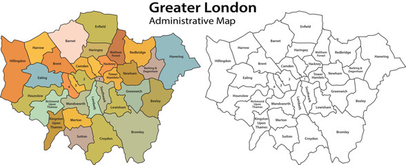 Greater london administrative map with colored and outlined boroughs on white background for navigation and planning purposes effectivelyfavorite_border favorite
 Maps icon set. Editable stroke. Containing maps, location, GPS, navigation, city map, atlas, route, direction, pin and more. Outline Icon Collection.favorite_border favorite
 Topographic map background geographic line map with elevation assignments. Modern design with White background with topographic wavy pattern design.Cartography or terrain path conceptfavorite_border favorite
 Locations marked with pins on world map, global communication network, closeupfavorite_border favorite
 World mapfavorite_border favorite
 Aged parchment map with star symbol vintagefavorite_border favorite
 Flat Europe detail flat map with transparent coutries outlines. Europe continent. Transparent background. Euripean continent business background. Map template for infographics. Top view.favorite_border favorite
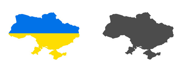 Ukraine map isolated on white backgroundfavorite_border favorite
 2d illustration Safety concept: Closed Padlock on digital backgroundfavorite_border favorite
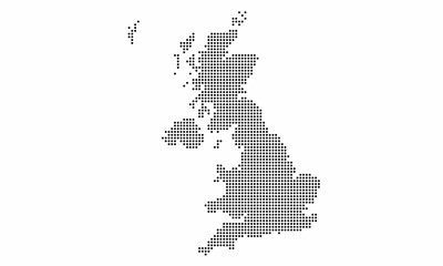 United Kingdom or UK dotted map with grunge texture in dot style. Abstract vector illustration of a country map with halftone effect for infographic.favorite_border favorite
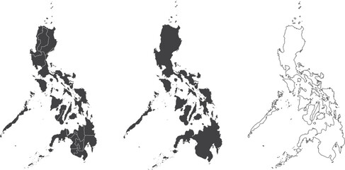 set of 3 maps of Philippines - vector illustrationsfavorite_border favorite
 Old vintage map, blankfavorite_border favorite
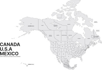 USA, Canada, Mexico border map. North America countries vector map.favorite_border favorite
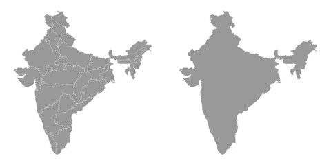 India grey map with administrative divisions. Vector illustration.favorite_border favorite
 Location services as destination GPS pin point on map tiny persons conceptfavorite_border favorite
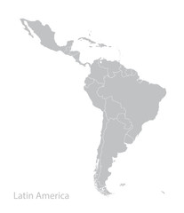 Map of Latin America.favorite_border favorite
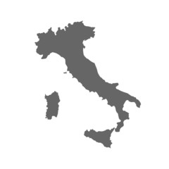 Map of italyfavorite_border favorite
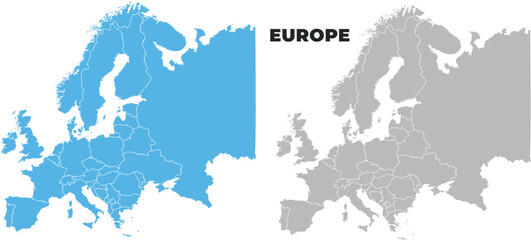 Europe simple maps flat illustrationfavorite_border favorite
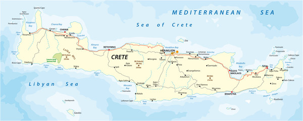 vector street map of greek mediterranean island cretefavorite_border favorite
 Vintage old paper texture vector background. Brown old sheet with stripes and compass. Antique parchment for map EPS10favorite_border favorite
 Blue map of Brisbane city, linear print map. Cityscape panorama.favorite_border favorite
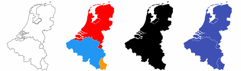 benelux map set isolated on white background.netherlands Luxembourg Belgium mapfavorite_border favorite
 Modern Infographic Templatefavorite_border favorite
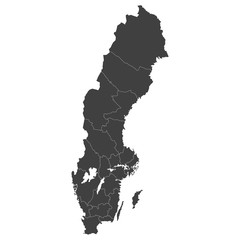 Sweden map with selected regions in black color on a white backgroundfavorite_border favorite
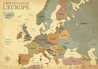 Carte Europe avec capitales - Texture vintage rétro - Textes français - Vecteur CMJNfavorite_border favorite
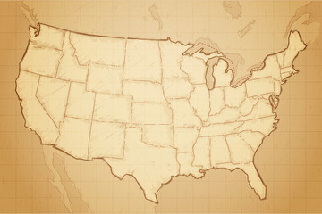 Vintage retro textured old map of United States of America vector illustrationfavorite_border favorite
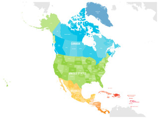 Political map of North American countries Canada, United States of America, Mexico with administrative divisions. Central American Countries and Caribbean Region. Colorful blank map. Vectorfavorite_border favorite
 Grid paper with dots. Square graph background. Architect project texture. School math sheet. Notebook pattern. Checkered backdrop of map. Geometric banner. Technical blank. Vector illustrationfavorite_border favorite
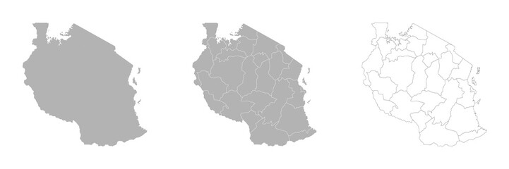 Set of TANZANIA Maps with Main Map and Regional mapsfavorite_border favorite
 Abstract topographic lines in blue, purple and teal tones over a dark background. Texture of lines. Geodesy topographic map background. Copy spacefavorite_border favorite
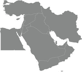 Black detailed blank political map of BAHRAIN with white borders on transparent background using orthographic projection of the gray Middle Eastfavorite_border favorite
 Set of map pin location icons. Modern map markers. Map pin place marker. Location icon. Map marker pointer icon set.favorite_border favorite
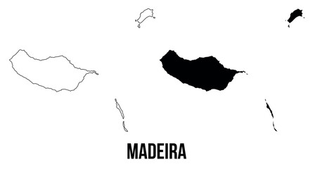 Madeira map of islands regions districts vector black on white and outlinefavorite_border favorite
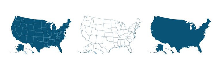 United States of America map. USA map with and without states isolated, vectorfavorite_border favorite
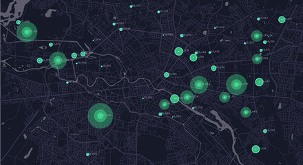 City planning. Urban big data map. Smart city. People activity analysis. Urban clusters hotspots. Megapolis monitoring technology.favorite_border favorite
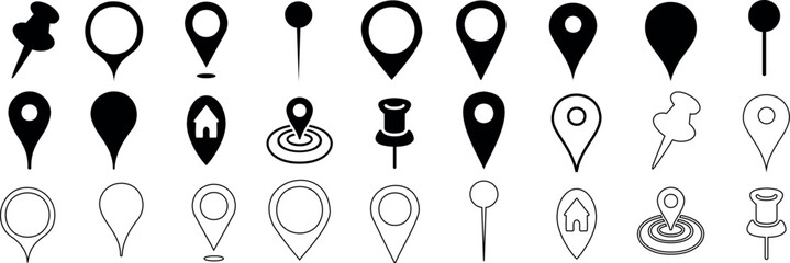 location marker, diverse map pin vector icons set. Ideal for mapping, navigation apps, websites. standard pins, circular markers, house shape, pushpinfavorite_border favorite
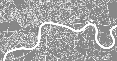 Layered editable vector illustration outline of London city map.favorite_border favorite
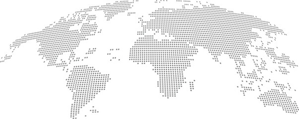 Detailed Dotted World Map Vectorfavorite_border favorite
 Curved world map grey isolated on white backgroundfavorite_border favorite
 surveyor working with forest topography map in digital tablet. land surveyingfavorite_border favorite
 3D top view of a map with destination location point 004favorite_border favorite
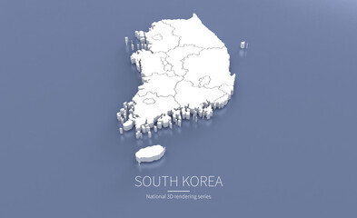 South Korea Map 3d. National map 3D rendering set in Asia continent.favorite_border favorite
 Miniature people: small figurine of lonely young traveler walking on big mapfavorite_border favorite
 Dotted line path showing a winding route between two map location pins, one black and one red, isolated on transparent backgroundfavorite_border favorite
 Vector fill, stroke with fill and dotted USA California mapfavorite_border favorite
 Urban vector city map of Vancouver, Canadafavorite_border favorite