-
Location Iran. Green pin on the map.
Do ulubionych favorite_border
Usuń z ulubionych favorite
-
Arab world states on map of the world
Do ulubionych favorite_border
Usuń z ulubionych favorite
-
vector illustartion of gray colored world map outline on white background
Do ulubionych favorite_border
Usuń z ulubionych favorite
-
Red map of Canada on the white background
Do ulubionych favorite_border
Usuń z ulubionych favorite
-
Modern 3d world map infographic template with colorful pointer marks. Easy to use for your design or presentation.
Do ulubionych favorite_border
Usuń z ulubionych favorite
-
Relief map of United States
Do ulubionych favorite_border
Usuń z ulubionych favorite
-
Ile de France map of regions districts vector black on white and outline
Do ulubionych favorite_border
Usuń z ulubionych favorite
-
Set of elements top view for landscape design. Buildings and trees for map of City. Collection, kit of Objects. House, factory, skyscraper, hotel, manufacturing. Isolated Vector element from above
Do ulubionych favorite_border
Usuń z ulubionych favorite
-
world map line art drawing design vector illustration isolated on transparent background
Do ulubionych favorite_border
Usuń z ulubionych favorite
-
Map of Uttar pradesh , Map of Uttar pradesh with India, Map of Uttar pradesh state of India Vector Illustration, map of Uttar pradesh with solid color, India.
Do ulubionych favorite_border
Usuń z ulubionych favorite
-
Pin map icon. GPS location pointer collection. Pin place icons collection. EPS 10
Do ulubionych favorite_border
Usuń z ulubionych favorite
-
The Republic of Poland map
Do ulubionych favorite_border
Usuń z ulubionych favorite
-
Do ulubionych favorite_border
Usuń z ulubionych favorite
-
Black and white noise reflection map displacement map motion graphic asset. Noise moving black and white height map for creating gold, and silver metallic textures. Smooth curvy map bg.
Do ulubionych favorite_border
Usuń z ulubionych favorite
-
Topographic map lines, contour background, Vector contour topographic map background. Topography and geography map grid abstract backdrop, Luxury black abstract line art.
Do ulubionych favorite_border
Usuń z ulubionych favorite
-
Travel by plane concept with top view airplane silhouette with single line path shaped world map behind it. Isolated on white background. Travel or vacation concept. Minimalistic vector illustration.
Do ulubionych favorite_border
Usuń z ulubionych favorite
-
World map of squares. Simple flat vector illustration
Do ulubionych favorite_border
Usuń z ulubionych favorite
-
Map of Warsaw city with districts
Do ulubionych favorite_border
Usuń z ulubionych favorite
-
Isometric Gps map navigation to own pin. City top view. Abstract transportation background. Track navigation pins on street maps, position pin. Vector illustration
Do ulubionych favorite_border
Usuń z ulubionych favorite
-
City map on white background 3d illustration
Do ulubionych favorite_border
Usuń z ulubionych favorite
-
City map with parks and squares, rivers and ponds. Town streets and avenues. Urban gps navigation plan
Do ulubionych favorite_border
Usuń z ulubionych favorite
-
Do ulubionych favorite_border
Usuń z ulubionych favorite
-
Political map of Ukraine with borders
Do ulubionych favorite_border
Usuń z ulubionych favorite
-
Highly detailed Namibia map with borders isolated on background
Do ulubionych favorite_border
Usuń z ulubionych favorite
-
Topographic map background concept
Do ulubionych favorite_border
Usuń z ulubionych favorite
-
Outline of the map of El Salvador with regions
Do ulubionych favorite_border
Usuń z ulubionych favorite
-
Image of world map and financial data processing over cityscape
Do ulubionych favorite_border
Usuń z ulubionych favorite
-
Old vintage map of caribbean sea. Vector worn parchment with ships, islands and land, wind rose and cardinal points. Fantasy world, vintage grunge paper, pirate map with travel locations and monsters
Do ulubionych favorite_border
Usuń z ulubionych favorite
-
Pirate and nautical theme grunge background
Do ulubionych favorite_border
Usuń z ulubionych favorite
-
black and white map of australia
Do ulubionych favorite_border
Usuń z ulubionych favorite
-
Germany map – vector illustration of political and geographical borders
Do ulubionych favorite_border
Usuń z ulubionych favorite
-
Navigation icon set in flat style. Gps direction vector illustration on white isolated background. Locate pin position business concept.
Do ulubionych favorite_border
Usuń z ulubionych favorite
-
dynamic digital world map emphasize Western Europe continental for AI powered global network connectivity big data transfer cyber technology network information exchange telecommunication concept.
Do ulubionych favorite_border
Usuń z ulubionych favorite
-
World map vector image isolated on white background. Customizable, individual country color editable.
Do ulubionych favorite_border
Usuń z ulubionych favorite
-
Fictional city map navigation with rivers and parks.
Do ulubionych favorite_border
Usuń z ulubionych favorite
-
Infographic travel and landmark france map shape template design
Do ulubionych favorite_border
Usuń z ulubionych favorite
-
Set of GHANA Maps with Main Map and Regional maps
Do ulubionych favorite_border
Usuń z ulubionych favorite
-
Austria map icon. Austria Europe country icons collection. Austria country border
Do ulubionych favorite_border
Usuń z ulubionych favorite
-
Locator position point. GPS tracking system to navigate around the city landmarks. Detailed city street map with directions to different locations. Vector illustration
Do ulubionych favorite_border
Usuń z ulubionych favorite
-
India map isolated on white background. India map with states. Indian background. Vector illustration
Do ulubionych favorite_border
Usuń z ulubionych favorite
-
Abstract topographic map background Vector. 21:9 wallpaper design for fabric , packaging , web, geographic grid map vector illustration.
Do ulubionych favorite_border
Usuń z ulubionych favorite
-
Colorful metro scheme, railway transport or city bus map
Do ulubionych favorite_border
Usuń z ulubionych favorite
-
Maps of Africa - Afrique - Afrika. Outline, line, black, silhouette, Vector
Do ulubionych favorite_border
Usuń z ulubionych favorite
-
Texas map icon set. Texas map symbol isolated on white background.
Do ulubionych favorite_border
Usuń z ulubionych favorite
-
Map of USA with all states and all counties. Light. Isolated polygons
Do ulubionych favorite_border
Usuń z ulubionych favorite
-
Do ulubionych favorite_border
Usuń z ulubionych favorite
-
Austria - map and flag – illustration
Do ulubionych favorite_border
Usuń z ulubionych favorite
-
sunglasses and travel map laying in a table
Do ulubionych favorite_border
Usuń z ulubionych favorite
-
Do ulubionych favorite_border
Usuń z ulubionych favorite
-
Mapa del País Vasco o Euskadi con las provincias de Guipúzcoa, Donostia, Vizcaya y Bilbao. Silueta del mapa del País Vasco en verde
Do ulubionych favorite_border
Usuń z ulubionych favorite
-
Vietnam map on white background vector
Do ulubionych favorite_border
Usuń z ulubionych favorite
-
World map with countries borders and red location pointers.
Do ulubionych favorite_border
Usuń z ulubionych favorite
-
Close-up image of map lying on table and female hands pointing at it
Do ulubionych favorite_border
Usuń z ulubionych favorite
-
Do ulubionych favorite_border
Usuń z ulubionych favorite
-
Africa map outline graphic freehand drawing on white background. Vector illustration.
Do ulubionych favorite_border
Usuń z ulubionych favorite
-
United Kingdom with flag on globe
Do ulubionych favorite_border
Usuń z ulubionych favorite
-
North Rhine-Westphalia state map silhouette and outline vector illustration on transparent background
Do ulubionych favorite_border
Usuń z ulubionych favorite
-
indonesia country map vector illustration
Do ulubionych favorite_border
Usuń z ulubionych favorite
-
High-tech digital topographic map with glowing data points, GPS markers, and geospatial analytics. Technology big data and geospatial concepts. Future abstract background 3d Rendering
Do ulubionych favorite_border
Usuń z ulubionych favorite
-
Map of South Korea in gray on a white background
Do ulubionych favorite_border
Usuń z ulubionych favorite
-
Abstract light pattern Vector illustration. Topographic map background concept. Vibrant neon lights pulsating patterns. Colorful topography contour lines isolated on black background.
Do ulubionych favorite_border
Usuń z ulubionych favorite
-
map of Ontario province of Canada
Do ulubionych favorite_border
Usuń z ulubionych favorite
-
Texas map vector poster flyer
Do ulubionych favorite_border
Usuń z ulubionych favorite
-
Italy Map Black Italian Border State Country Transparent Isolated Variations
Do ulubionych favorite_border
Usuń z ulubionych favorite
-
Location pin or map pin icon set. GPS location sign. Map navigation sign in red and black color
Do ulubionych favorite_border
Usuń z ulubionych favorite
-
Vector Map - Blue Geometric Rumpled Triangular. Low poly map of Afghanistan. contour/shape map isolated on white background.
Do ulubionych favorite_border
Usuń z ulubionych favorite
-
high detailed vector map of Europe main rivers
Do ulubionych favorite_border
Usuń z ulubionych favorite
-
world map on grunge background
Do ulubionych favorite_border
Usuń z ulubionych favorite
-
Abstract world map composed of numerous small dark dots on a clean white background
Do ulubionych favorite_border
Usuń z ulubionych favorite
-
Do ulubionych favorite_border
Usuń z ulubionych favorite
-
Flat world flora and fauna map constructor elements. Animals, birds and sea life isolated big set. Build your own geography infographics collection.
Do ulubionych favorite_border
Usuń z ulubionych favorite
-
World map isolated on white background
Do ulubionych favorite_border
Usuń z ulubionych favorite
-
Do ulubionych favorite_border
Usuń z ulubionych favorite
-
Old drawn map of the medieval world
Do ulubionych favorite_border
Usuń z ulubionych favorite
-
El mapa global representa la temperatura de la superficie de la Tierra en diferentes regiones. La escala de temperatura va desde azules fríos, hasta naranjas y rojos cálidos
Do ulubionych favorite_border
Usuń z ulubionych favorite
-
Detail world map with national borders, 3d render
Do ulubionych favorite_border
Usuń z ulubionych favorite
-
World map. Ultra detailed political map with country names. Flat vector illustration.
Do ulubionych favorite_border
Usuń z ulubionych favorite
-
United States Map Vector Graphic with State Boundaries and Location Markers for Cities and Landmarks
Do ulubionych favorite_border
Usuń z ulubionych favorite
-
Do ulubionych favorite_border
Usuń z ulubionych favorite
-
Pin set with shadow. Map marks for gps point. Vector 3d red plastic pushpins or board tacks for paper notice isolated on transparent background
Do ulubionych favorite_border
Usuń z ulubionych favorite
-
Military conflict between Ukraine and Russia. Concept map of war. cartography design. 3d render
Do ulubionych favorite_border
Usuń z ulubionych favorite
-
Abstract mash line and point scales on dark background with map of wolrd.3D mesh polygonal network line, design sphere, dot and structure. Vector illustration eps 10.
Do ulubionych favorite_border
Usuń z ulubionych favorite
-
Dark area map of Tokyo, Japan
Do ulubionych favorite_border
Usuń z ulubionych favorite
-
Do ulubionych favorite_border
Usuń z ulubionych favorite
-
european countries - continent marked with flags
Do ulubionych favorite_border
Usuń z ulubionych favorite
-
Road map and route isolated inforgraphic template
Do ulubionych favorite_border
Usuń z ulubionych favorite
-
World map vector with country borders shaded monochrome continents global data visualization background
Do ulubionych favorite_border
Usuń z ulubionych favorite
-
India map silhouette black and white outline graphic design.
Do ulubionych favorite_border
Usuń z ulubionych favorite
-
A detailed vector outline map of Greater London, clearly showing the boundaries of its 32 boroughs. Ideal for urban planning or data-driven projects
Do ulubionych favorite_border
Usuń z ulubionych favorite
-
Set of MAURITIUS Maps with Main Map and Regional maps
Do ulubionych favorite_border
Usuń z ulubionych favorite
-
3d isometric america USA map with region border line
Do ulubionych favorite_border
Usuń z ulubionych favorite
-
World map silhouette. Digital simple grey map in flat style. Vector realistic illustration earth isolated on white background
Do ulubionych favorite_border
Usuń z ulubionych favorite
-
Pirate map with mythological creatures, old vessels, compass and treasure islands. Pirate adventures, treasure hunt and old transportation concept. Hand drawn vector illustration, vintage background
Do ulubionych favorite_border
Usuń z ulubionych favorite
-
Naxos Island. Greece. Physical
Do ulubionych favorite_border
Usuń z ulubionych favorite
-
Realistic topographic map with brown contour lines, elevation marks, and natural green terrain features with river. Ideal for geographic, educational, or design projects. 16:9
Do ulubionych favorite_border
Usuń z ulubionych favorite
-
Do ulubionych favorite_border
Usuń z ulubionych favorite
-
kids and woman checking map with compass sitting on the green grass at a camping tent entrance
Do ulubionych favorite_border
Usuń z ulubionych favorite
-
Sylwetka mapy Polski - ilustracja wektorowa
Do ulubionych favorite_border
Usuń z ulubionych favorite
-
Black and white contour map illustration of a winding river and surrounding terrain topography landscape
Do ulubionych favorite_border
Usuń z ulubionych favorite
-
Simple route map icon with location pin. Route dash line with location pin. Route location icon, two pin sign and dotted line road, start and end journey symbol. Vector illustration. EPS 10
Do ulubionych favorite_border
Usuń z ulubionych favorite
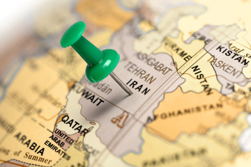 Location Iran. Green pin on the map.favorite_border favorite
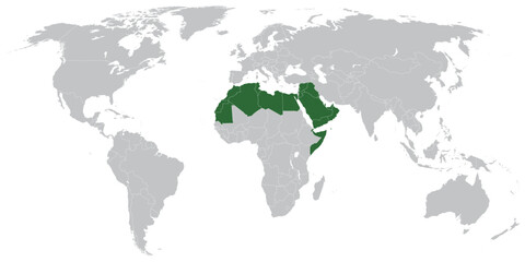 Arab world states on map of the worldfavorite_border favorite
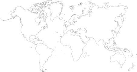 vector illustartion of gray colored world map outline on white backgroundfavorite_border favorite
 Red map of Canada on the white backgroundfavorite_border favorite
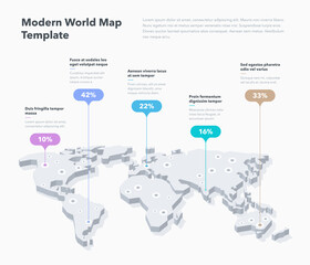 Modern 3d world map infographic template with colorful pointer marks. Easy to use for your design or presentation.favorite_border favorite
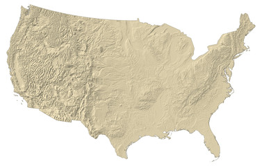 Relief map of United Statesfavorite_border favorite
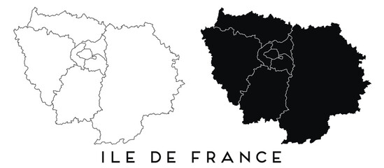 Ile de France map of regions districts vector black on white and outlinefavorite_border favorite
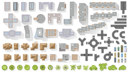 Set of elements top view for landscape design. Buildings and trees for map of City. Collection, kit of Objects. House, factory, skyscraper, hotel, manufacturing. Isolated Vector element from abovefavorite_border favorite
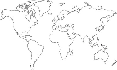 world map line art drawing design vector illustration isolated on transparent backgroundfavorite_border favorite
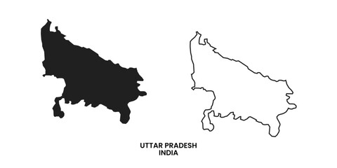 Map of Uttar pradesh , Map of Uttar pradesh with India, Map of Uttar pradesh state of India Vector Illustration, map of Uttar pradesh with solid color, India.favorite_border favorite
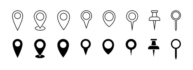 Pin map icon. GPS location pointer collection. Pin place icons collection. EPS 10favorite_border favorite
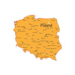 The Republic of Poland mapfavorite_border favorite
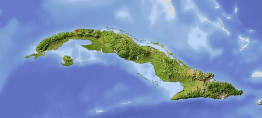 Cuba, shaded relief mapfavorite_border favorite
 Black and white noise reflection map displacement map motion graphic asset. Noise moving black and white height map for creating gold, and silver metallic textures. Smooth curvy map bg.favorite_border favorite
 Topographic map lines, contour background, Vector contour topographic map background. Topography and geography map grid abstract backdrop, Luxury black abstract line art.favorite_border favorite
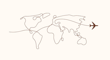 Travel by plane concept with top view airplane silhouette with single line path shaped world map behind it. Isolated on white background. Travel or vacation concept. Minimalistic vector illustration.favorite_border favorite
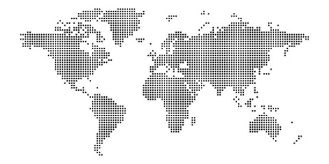 World map of squares. Simple flat vector illustrationfavorite_border favorite
 Map of Warsaw city with districtsfavorite_border favorite
 Isometric Gps map navigation to own pin. City top view. Abstract transportation background. Track navigation pins on street maps, position pin. Vector illustrationfavorite_border favorite
 City map on white background 3d illustrationfavorite_border favorite
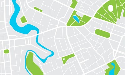 City map with parks and squares, rivers and ponds. Town streets and avenues. Urban gps navigation planfavorite_border favorite
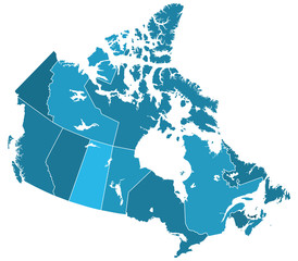 Canada regions mapfavorite_border favorite
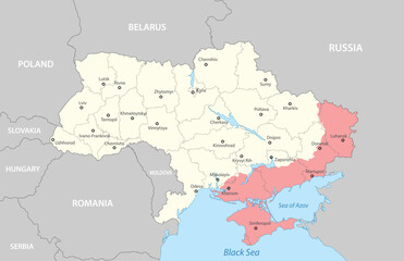 Political map of Ukraine with bordersfavorite_border favorite
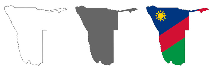 Highly detailed Namibia map with borders isolated on backgroundfavorite_border favorite
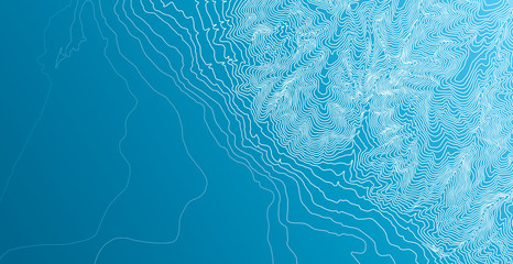 Topographic map background conceptfavorite_border favorite
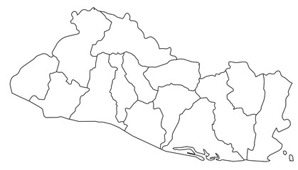 Outline of the map of El Salvador with regionsfavorite_border favorite
 Image of world map and financial data processing over cityscapefavorite_border favorite
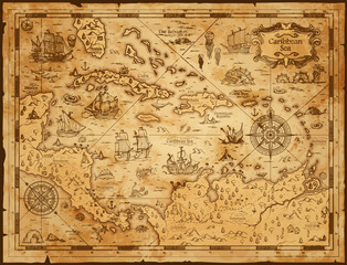 Old vintage map of caribbean sea. Vector worn parchment with ships, islands and land, wind rose and cardinal points. Fantasy world, vintage grunge paper, pirate map with travel locations and monstersfavorite_border favorite
 Pirate and nautical theme grunge backgroundfavorite_border favorite
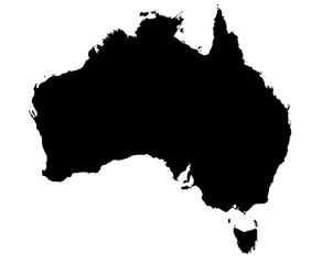 black and white map of australiafavorite_border favorite
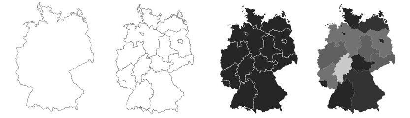 Germany map – vector illustration of political and geographical bordersfavorite_border favorite
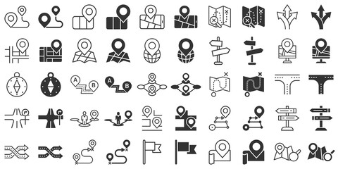 Navigation icon set in flat style. Gps direction vector illustration on white isolated background. Locate pin position business concept.favorite_border favorite
 dynamic digital world map emphasize Western Europe continental for AI powered global network connectivity big data transfer cyber technology network information exchange telecommunication concept.favorite_border favorite
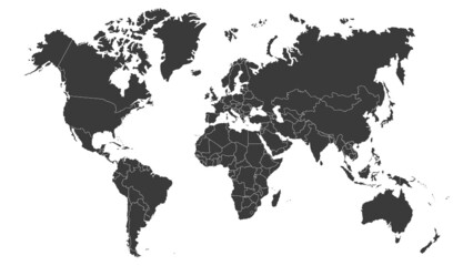 World map vector image isolated on white background. Customizable, individual country color editable.favorite_border favorite
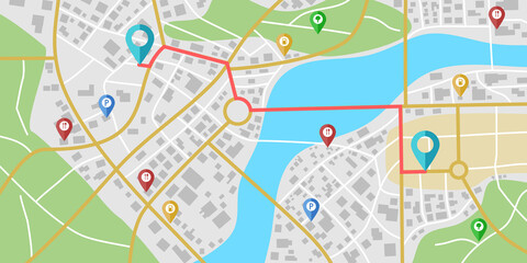 Fictional city map navigation with rivers and parks.favorite_border favorite
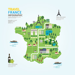 Infographic travel and landmark france map shape template designfavorite_border favorite
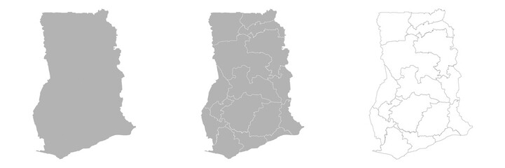 Set of GHANA Maps with Main Map and Regional mapsfavorite_border favorite
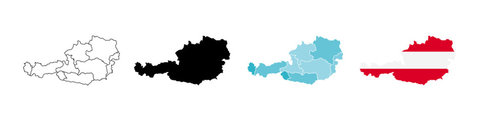 Austria map icon. Austria Europe country icons collection. Austria country borderfavorite_border favorite
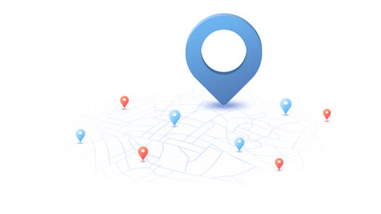 Locator position point. GPS tracking system to navigate around the city landmarks. Detailed city street map with directions to different locations. Vector illustrationfavorite_border favorite
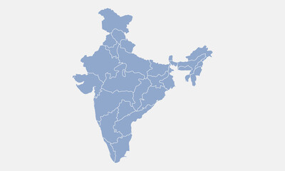 India map isolated on white background. India map with states. Indian background. Vector illustrationfavorite_border favorite
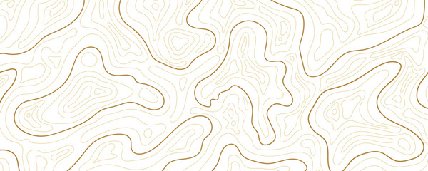 Abstract topographic map background Vector. 21:9 wallpaper design for fabric , packaging , web, geographic grid map vector illustration.favorite_border favorite
 Colorful metro scheme, railway transport or city bus mapfavorite_border favorite
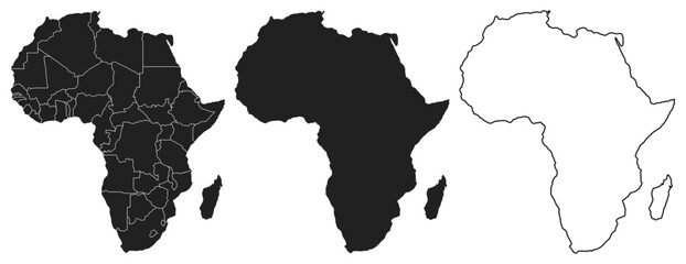 Maps of Africa - Afrique - Afrika. Outline, line, black, silhouette, Vectorfavorite_border favorite
 Texas map icon set. Texas map symbol isolated on white background.favorite_border favorite
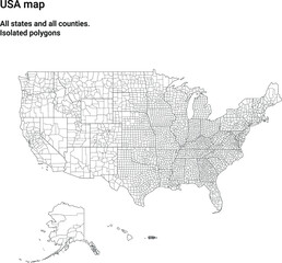 Map of USA with all states and all counties. Light. Isolated polygonsfavorite_border favorite
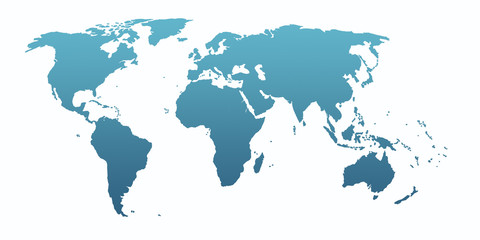 blue world mapfavorite_border favorite
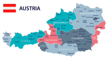 Austria - map and flag – illustrationfavorite_border favorite
 sunglasses and travel map laying in a tablefavorite_border favorite
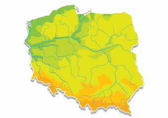 Poland, Polish mapfavorite_border favorite
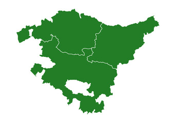 Mapa del País Vasco o Euskadi con las provincias de Guipúzcoa, Donostia, Vizcaya y Bilbao. Silueta del mapa del País Vasco en verdefavorite_border favorite
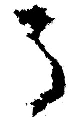 Vietnam map on white background vectorfavorite_border favorite
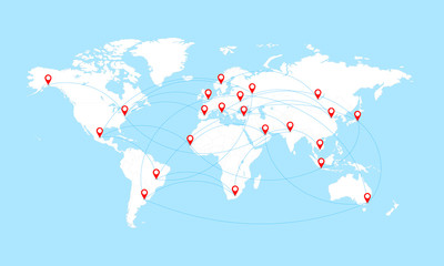 World map with countries borders and red location pointers.favorite_border favorite
 Close-up image of map lying on table and female hands pointing at itfavorite_border favorite
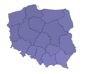 Mapa Polskifavorite_border favorite
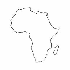 Africa map outline graphic freehand drawing on white background. Vector illustration.favorite_border favorite
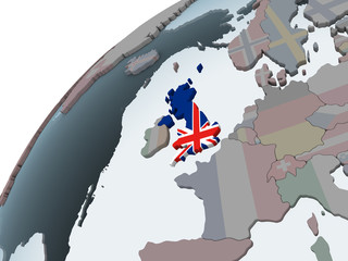 United Kingdom with flag on globefavorite_border favorite
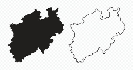 North Rhine-Westphalia state map silhouette and outline vector illustration on transparent backgroundfavorite_border favorite
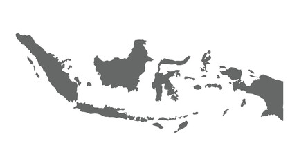 indonesia country map vector illustrationfavorite_border favorite
 High-tech digital topographic map with glowing data points, GPS markers, and geospatial analytics. Technology big data and geospatial concepts. Future abstract background 3d Renderingfavorite_border favorite
 Map of South Korea in gray on a white backgroundfavorite_border favorite
 Abstract light pattern Vector illustration. Topographic map background concept. Vibrant neon lights pulsating patterns. Colorful topography contour lines isolated on black background.favorite_border favorite
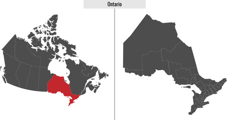 map of Ontario province of Canadafavorite_border favorite
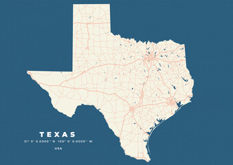 Texas map vector poster flyerfavorite_border favorite
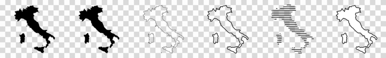 Italy Map Black Italian Border State Country Transparent Isolated Variationsfavorite_border favorite
 Location pin or map pin icon set. GPS location sign. Map navigation sign in red and black colorfavorite_border favorite
 Vector Map - Blue Geometric Rumpled Triangular. Low poly map of Afghanistan. contour/shape map isolated on white background.favorite_border favorite
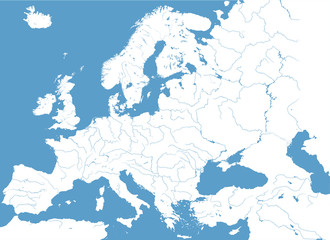 high detailed vector map of Europe main riversfavorite_border favorite
 world map on grunge backgroundfavorite_border favorite
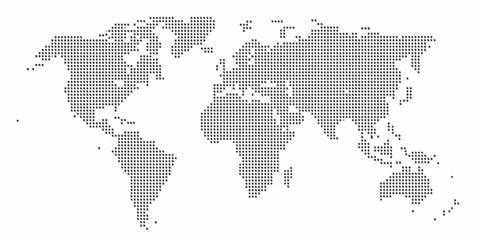 Abstract world map composed of numerous small dark dots on a clean white backgroundfavorite_border favorite
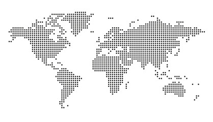 Vector dotted world mapfavorite_border favorite
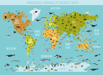 Flat world flora and fauna map constructor elements. Animals, birds and sea life isolated big set. Build your own geography infographics collection.favorite_border favorite
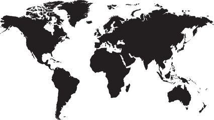 World map isolated on white backgroundfavorite_border favorite
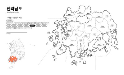 대한민국 지도-전라남도favorite_border favorite
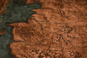 Old drawn map of the medieval worldfavorite_border favorite
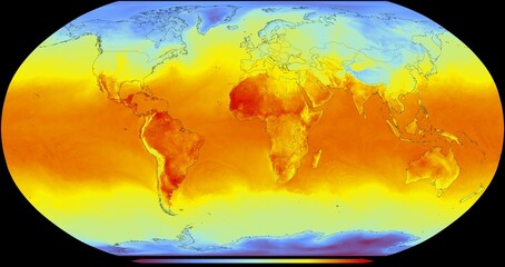 El mapa global representa la temperatura de la superficie de la Tierra en diferentes regiones. La escala de temperatura va desde azules fríos, hasta naranjas y rojos cálidosfavorite_border favorite
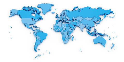 Detail world map with national borders, 3d renderfavorite_border favorite
 World map. Ultra detailed political map with country names. Flat vector illustration.favorite_border favorite
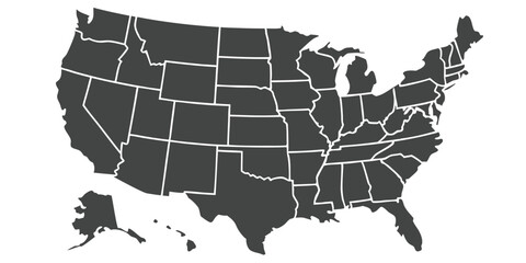 United States Map Vector Graphic with State Boundaries and Location Markers for Cities and Landmarksfavorite_border favorite
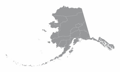 Alaska counties mapfavorite_border favorite
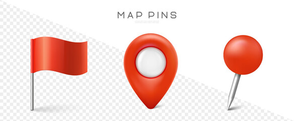 Pin set with shadow. Map marks for gps point. Vector 3d red plastic pushpins or board tacks for paper notice isolated on transparent backgroundfavorite_border favorite
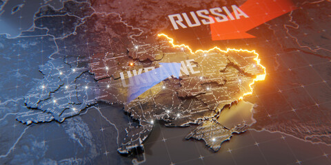 Military conflict between Ukraine and Russia. Concept map of war. cartography design. 3d renderfavorite_border favorite
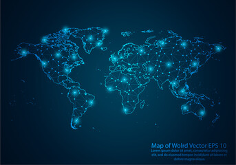 Abstract mash line and point scales on dark background with map of wolrd.3D mesh polygonal network line, design sphere, dot and structure. Vector illustration eps 10.favorite_border favorite
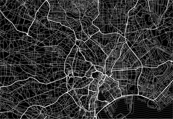 Dark area map of Tokyo, Japanfavorite_border favorite
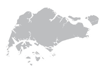 grey map of Singaporefavorite_border favorite
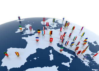 european countries - continent marked with flagsfavorite_border favorite
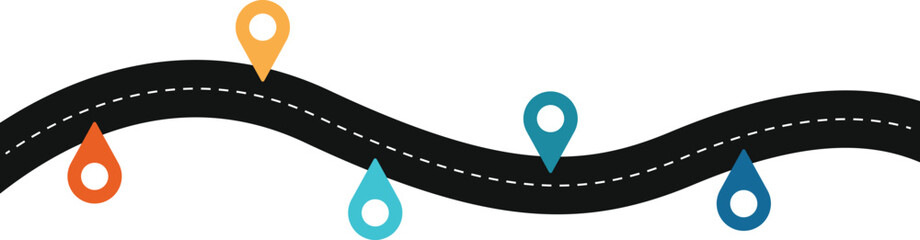 Road map and route isolated inforgraphic templatefavorite_border favorite
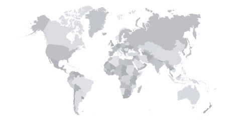 World map vector with country borders shaded monochrome continents global data visualization backgroundfavorite_border favorite
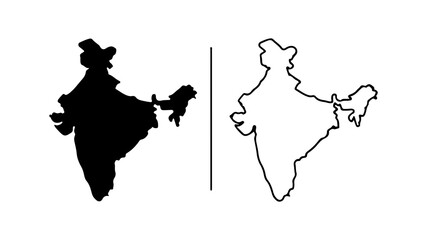 India map silhouette black and white outline graphic design.favorite_border favorite
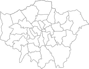 A detailed vector outline map of Greater London, clearly showing the boundaries of its 32 boroughs. Ideal for urban planning or data-driven projectsfavorite_border favorite
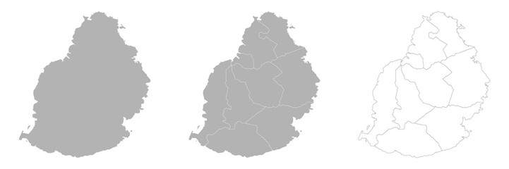 Set of MAURITIUS Maps with Main Map and Regional mapsfavorite_border favorite
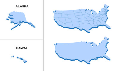 3d isometric america USA map with region border linefavorite_border favorite
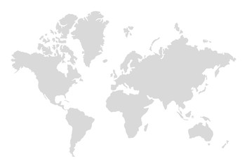 World map silhouette. Digital simple grey map in flat style. Vector realistic illustration earth isolated on white backgroundfavorite_border favorite
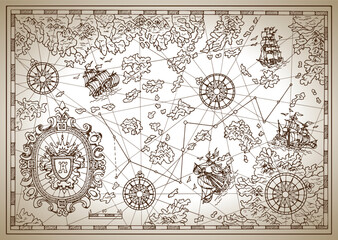 Pirate map with mythological creatures, old vessels, compass and treasure islands. Pirate adventures, treasure hunt and old transportation concept. Hand drawn vector illustration, vintage backgroundfavorite_border favorite
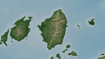 Naxos Island. Greece. Physicalfavorite_border favorite
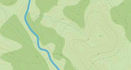 Realistic topographic map with brown contour lines, elevation marks, and natural green terrain features with river. Ideal for geographic, educational, or design projects. 16:9favorite_border favorite
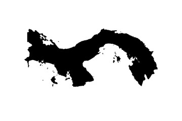 map of Panama. vectorfavorite_border favorite
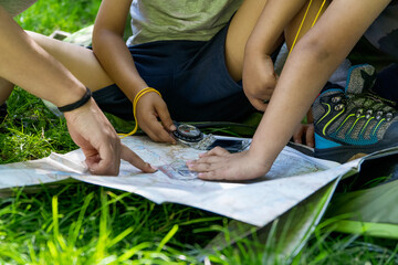 kids and woman checking map with compass sitting on the green grass at a camping tent entrancefavorite_border favorite
 Sylwetka mapy Polski - ilustracja wektorowafavorite_border favorite
 Black and white contour map illustration of a winding river and surrounding terrain topography landscapefavorite_border favorite
 Simple route map icon with location pin. Route dash line with location pin. Route location icon, two pin sign and dotted line road, start and end journey symbol. Vector illustration. EPS 10favorite_border favorite