-
Do ulubionych favorite_border
Usuń z ulubionych favorite
-
Color detailed urban road plan city map Paris, vector illustration
Do ulubionych favorite_border
Usuń z ulubionych favorite
-
Timezone Map, World Time Zone, Cities Timezone, GMT Time, America Time, Brazil Time, Europe Time, Asia Time
Do ulubionych favorite_border
Usuń z ulubionych favorite
-
set of political maps of Ireland with regions and flag map isolated on white background
Do ulubionych favorite_border
Usuń z ulubionych favorite
-
Business road map timeline infographic template with pointers designed for abstract background milestone modern diagram process technology digital marketing data presentation chart Vector illustration
Do ulubionych favorite_border
Usuń z ulubionych favorite
-
A silhouette of the map of Spain
Do ulubionych favorite_border
Usuń z ulubionych favorite
-
Middle East map vector free. Middle East map with county shape in single color. Vector map of geopolitical region middle east.
Do ulubionych favorite_border
Usuń z ulubionych favorite
-
Do ulubionych favorite_border
Usuń z ulubionych favorite
-
Warsaw map vector poster flyer
Do ulubionych favorite_border
Usuń z ulubionych favorite
-
Monochrome city map with road network of Copenhagen
Do ulubionych favorite_border
Usuń z ulubionych favorite
-
mapa konturowa POLSKI, POLSKA
Do ulubionych favorite_border
Usuń z ulubionych favorite
-
Greyscale United States Of America political map with borders outline style vector illustration set
Do ulubionych favorite_border
Usuń z ulubionych favorite
-
A red location pin icon on a simplified gray map background, symbolizing navigation or GPS positioning
Do ulubionych favorite_border
Usuń z ulubionych favorite
-
New zealand map in various style outline, black, blue, and dotted
Do ulubionych favorite_border
Usuń z ulubionych favorite
-
Blue color world map isolated on white background.
Do ulubionych favorite_border
Usuń z ulubionych favorite
-
World map, detailed country map of the world, Red template for annual report format, business, infographic, global tourism
Do ulubionych favorite_border
Usuń z ulubionych favorite
-
Great city map creator.Seamless pattern map and Houses, infrastructure, industrial, transport, village and countryside set. Make your perfect city
Do ulubionych favorite_border
Usuń z ulubionych favorite
-
Vector map illustration of Cornwall, England, UK, showing silhouette and outline sketch.
Do ulubionych favorite_border
Usuń z ulubionych favorite
-
Do ulubionych favorite_border
Usuń z ulubionych favorite
-
Seamless bumpy textured plastic or rubber normal map background texture. Painted plaster repeat pattern. Realistic 8k game or architecture design height or bump mapping material shader 3D rendering.
Do ulubionych favorite_border
Usuń z ulubionych favorite
-
North American continent with contours of countries. Vector drawing, vector 10 eps.
Do ulubionych favorite_border
Usuń z ulubionych favorite
-
Children's map of the world with sights detailed
Do ulubionych favorite_border
Usuń z ulubionych favorite
-
世界地図 ビジネス マップ ピンとマーカーのセット
Do ulubionych favorite_border
Usuń z ulubionych favorite
-
Administracyjna mapa polski
Do ulubionych favorite_border
Usuń z ulubionych favorite
-
jungle map with graphic elements - vector
Do ulubionych favorite_border
Usuń z ulubionych favorite
-
city map with Pin Pointers 3d rendering image
Do ulubionych favorite_border
Usuń z ulubionych favorite
-
Detailed world map - vector illustration. Highly detailed world map: countries, capitals, cities, water bodies
Do ulubionych favorite_border
Usuń z ulubionych favorite
-
Topographic map. Height map with contour lines and dotted line grid seamless vector pattern background illustration
Do ulubionych favorite_border
Usuń z ulubionych favorite
-
Vector world map for kids with cute cartoon planes and air balloons. Children's map design for wallpaper, kid's room, wall art. America, Europa, Asia, Africa, Australia, Arctica. Vector illustration.
Do ulubionych favorite_border
Usuń z ulubionych favorite
-
Detailed vector illustration of a world map showing continents, countries, and natural features oceans and seas .
Do ulubionych favorite_border
Usuń z ulubionych favorite
-
abstract geometric topographic mountain map with editable strokes in chart in black background template
Do ulubionych favorite_border
Usuń z ulubionych favorite
-
Set of 30 outline icons related to location. Linear icon collection. Editable stroke. Vector illustration
Do ulubionych favorite_border
Usuń z ulubionych favorite
-
City navigation perspective map with two point directional pin
Do ulubionych favorite_border
Usuń z ulubionych favorite
-
grunge old paper for treasure map or vintage letter
Do ulubionych favorite_border
Usuń z ulubionych favorite
-
Do ulubionych favorite_border
Usuń z ulubionych favorite
-
Blank Outline Map of the United States of America with State Borders, Including Alaska and Hawaii, for Geographic Education
Do ulubionych favorite_border
Usuń z ulubionych favorite
-
Do ulubionych favorite_border
Usuń z ulubionych favorite
-
Europe map - highly detailed vector illustration
Do ulubionych favorite_border
Usuń z ulubionych favorite
-
Antique world map of the 19th century and the old type
Do ulubionych favorite_border
Usuń z ulubionych favorite
-
Urban city map of Miami, Florida
Do ulubionych favorite_border
Usuń z ulubionych favorite
-
Canada map with state names for education
Do ulubionych favorite_border
Usuń z ulubionych favorite
-
America map,America Continent vector map in white background.America map background with country.America political map. High detailed. Solid simple style. Black and white. Vector editable.
Do ulubionych favorite_border
Usuń z ulubionych favorite
-
Curved world map silhouette, half globe of blue planet Earth, global business geography, worldwide international. Africa, Asia and America, Europe, Australia continents. Travel vector infographics
Do ulubionych favorite_border
Usuń z ulubionych favorite
-
United Kingdom silhouette map and two patterns of dots and slanted lines. Flat vector illustration isolated on white
Do ulubionych favorite_border
Usuń z ulubionych favorite
-
Set of location pin icons. Map pointers. Map markers. Vector illustration.
Do ulubionych favorite_border
Usuń z ulubionych favorite
-
map of the city of Indianapolis, Indiana, USA
Do ulubionych favorite_border
Usuń z ulubionych favorite
-
Georgia map vector illustration, scribble sketch Georgian
Do ulubionych favorite_border
Usuń z ulubionych favorite
-
Africa map silhouette vector flat illustration design. African map outline.
Do ulubionych favorite_border
Usuń z ulubionych favorite
-
abstract pin point logo. creative map navigation vector design concept
Do ulubionych favorite_border
Usuń z ulubionych favorite
-
world map. High detailed blue map of world on PNG transparent background.
Do ulubionych favorite_border
Usuń z ulubionych favorite
-
set of 4 political maps of Slovakia with regions isolated on white background
Do ulubionych favorite_border
Usuń z ulubionych favorite
-
Dark area map of Paris, France
Do ulubionych favorite_border
Usuń z ulubionych favorite
-
orange india national map vector image on white background
Do ulubionych favorite_border
Usuń z ulubionych favorite
-
traveler girl hold in hands map and look sun flare, people planning trip, hipster tourist on background nature, enjoy journey landscape vacation trip, lifestyle holiday concept, sun mountain
Do ulubionych favorite_border
Usuń z ulubionych favorite
-
Copenhagen map. Copenhagen city map poster. Map of Copenhagen street, urban area.
Do ulubionych favorite_border
Usuń z ulubionych favorite
-
Map Set of India, Silhouette, Outline, Flag Map, and Region Map
Do ulubionych favorite_border
Usuń z ulubionych favorite
-
Spain 3d map with borders Template for your design
Do ulubionych favorite_border
Usuń z ulubionych favorite
-
World map divided into countries. Continents and oceans, africa, antarctic, asia, europe, america, australia. PNG detailed map silhouette illustration
Do ulubionych favorite_border
Usuń z ulubionych favorite
-
Kraków, Poland, Black and White high resolution vector map
Do ulubionych favorite_border
Usuń z ulubionych favorite
-
graphic vector map of ukraine. ukraine map. europe country map.
Do ulubionych favorite_border
Usuń z ulubionych favorite
-
Do ulubionych favorite_border
Usuń z ulubionych favorite
-
Flying airplanes world map abstract vector background - flying white airplanes routes on blue background - Air travel concept - line art illustration
Do ulubionych favorite_border
Usuń z ulubionych favorite
-
Urban vector city map of Amsterdam, The Netherlands
Do ulubionych favorite_border
Usuń z ulubionych favorite
-
World Map Vintage Vector. Detailed illustration of worldmap
Do ulubionych favorite_border
Usuń z ulubionych favorite
-
Brazil map in vibrant low poly style, modern geometric design perfect for creative projects.
Do ulubionych favorite_border
Usuń z ulubionych favorite
-
USA map, map of the United States of America with division on states
Do ulubionych favorite_border
Usuń z ulubionych favorite
-
California map vector illustration, scribble sketch California map
Do ulubionych favorite_border
Usuń z ulubionych favorite
-
World map point and line composition concept of global business. Global network connection. Vector Illustration Free Vector
Do ulubionych favorite_border
Usuń z ulubionych favorite
-
Prague map vector poster flyer
Do ulubionych favorite_border
Usuń z ulubionych favorite
-
vector mape of european union borders
Do ulubionych favorite_border
Usuń z ulubionych favorite
-
world map illustration night
Do ulubionych favorite_border
Usuń z ulubionych favorite
-
West Bengal state map in orange – isolated flat vector graphic
Do ulubionych favorite_border
Usuń z ulubionych favorite
-
World map on white background. All countries in The World different colors. Can use for printing, website, presentation element, textile. World map vector illustration, high-resolution, travel.
Do ulubionych favorite_border
Usuń z ulubionych favorite
-
Greenland highlighted. Low-res satellite map
Do ulubionych favorite_border
Usuń z ulubionych favorite
-
Lodz map. Lodz city map poster. Map of Lodz street, urban area.
Do ulubionych favorite_border
Usuń z ulubionych favorite
-
Do ulubionych favorite_border
Usuń z ulubionych favorite
-
kolorowa mapa Irlandii i Anglii
Do ulubionych favorite_border
Usuń z ulubionych favorite
-
Minimal light grey gradient with white rounded line network and nodes — abstract tech circuit UI map template with copy space
Do ulubionych favorite_border
Usuń z ulubionych favorite
-
World satellite map - 0 PM. Patterson Cylindrical
Do ulubionych favorite_border
Usuń z ulubionych favorite
-
Vector outline map of Europe. Simplified vector map made of black state contours on white background with black Europe countries labels.
Do ulubionych favorite_border
Usuń z ulubionych favorite
-
Cartina di Barcellona, città, strade e vie, Spagna
Do ulubionych favorite_border
Usuń z ulubionych favorite
-
Do ulubionych favorite_border
Usuń z ulubionych favorite
-
North Atlantic organization member states on map of the world
Do ulubionych favorite_border
Usuń z ulubionych favorite
-
World Map - Political - Vector Detailed Illustration
Do ulubionych favorite_border
Usuń z ulubionych favorite
-
Abstract image Europe map from point blue and glowing stars on a dark background. vector illustration. Vector eps 10.
Do ulubionych favorite_border
Usuń z ulubionych favorite
-
Vector Illustration Colorful Map Of The World With Country Names
Do ulubionych favorite_border
Usuń z ulubionych favorite
-
Samara city map - town streets on the plan. Map of the scheme of road. Urban environment, architectural background. Vector
Do ulubionych favorite_border
Usuń z ulubionych favorite
-
Do ulubionych favorite_border
Usuń z ulubionych favorite
-
Southeast Asia map. Indonesia, Malaysia,Thailand, Laos, Philippines, Vietnam, Singapore, Cambodia maps with regions. Asia map isolated on white background. High detailed. Vector illustration
Do ulubionych favorite_border
Usuń z ulubionych favorite
-
Old brown vintage parchment paper texture with aged grunge background sheet
Do ulubionych favorite_border
Usuń z ulubionych favorite
-
top view of vintage camera, notepad with fountain pen and painting on map background
Do ulubionych favorite_border
Usuń z ulubionych favorite
-
Earth map with the name of the countries
Do ulubionych favorite_border
Usuń z ulubionych favorite
-
Vintage map elements set with mountains, trees, ships and compass in engraving style, Transparent Background
Do ulubionych favorite_border
Usuń z ulubionych favorite
-
simple logo map of brazil Illustration in a linear style. Abstract line art brazil map Logotype concept icon. Vector logo Brazil map color silhouette on a dark background. EPS 10
Do ulubionych favorite_border
Usuń z ulubionych favorite
-
Latin America map digital 4k
Do ulubionych favorite_border
Usuń z ulubionych favorite
-
A generic city map with icons
Do ulubionych favorite_border
Usuń z ulubionych favorite
-
Urban vector city map of Torun, Poland
Do ulubionych favorite_border
Usuń z ulubionych favorite
-
Vector Black map of asia country with borders of regions
Do ulubionych favorite_border
Usuń z ulubionych favorite
-
Vintage navigation and astronomy tools with compass, telescope, sextant, hourglass, and constellation maps
Do ulubionych favorite_border
Usuń z ulubionych favorite
-
United States of America map. USA map with states on a white background. Vector illustration
Do ulubionych favorite_border
Usuń z ulubionych favorite
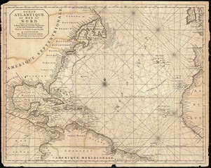 West Indies old mapfavorite_border favorite
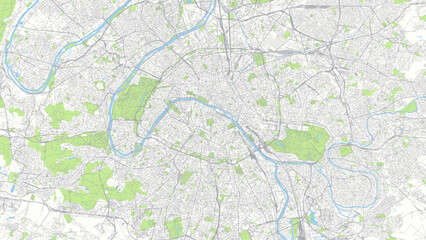 Color detailed urban road plan city map Paris, vector illustrationfavorite_border favorite
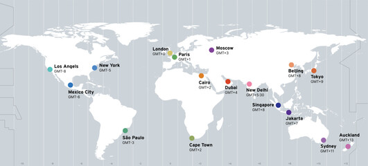 Timezone Map, World Time Zone, Cities Timezone, GMT Time, America Time, Brazil Time, Europe Time, Asia Timefavorite_border favorite
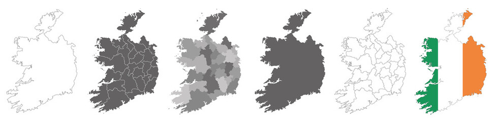 set of political maps of Ireland with regions and flag map isolated on white backgroundfavorite_border favorite
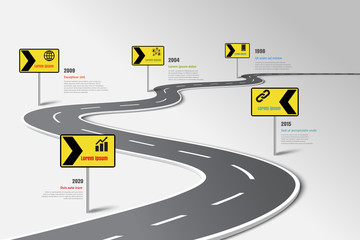 Business road map timeline infographic template with pointers designed for abstract background milestone modern diagram process technology digital marketing data presentation chart Vector illustrationfavorite_border favorite
 A silhouette of the map of Spainfavorite_border favorite
 Middle East map vector free. Middle East map with county shape in single color. Vector map of geopolitical region middle east.favorite_border favorite
 Brazil mapfavorite_border favorite
 Warsaw map vector poster flyerfavorite_border favorite
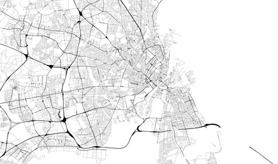 Monochrome city map with road network of Copenhagenfavorite_border favorite
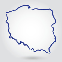 mapa konturowa POLSKI, POLSKAfavorite_border favorite
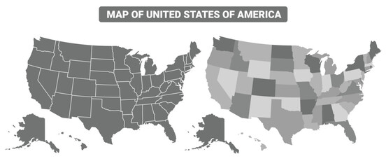 Greyscale United States Of America political map with borders outline style vector illustration setfavorite_border favorite
 A red location pin icon on a simplified gray map background, symbolizing navigation or GPS positioningfavorite_border favorite
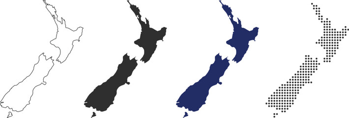 New zealand map in various style outline, black, blue, and dottedfavorite_border favorite
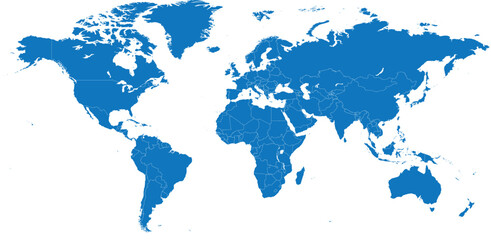 Blue color world map isolated on white background.favorite_border favorite
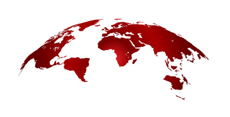 World map, detailed country map of the world, Red template for annual report format, business, infographic, global tourismfavorite_border favorite
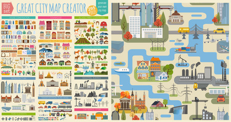 Great city map creator.Seamless pattern map and Houses, infrastructure, industrial, transport, village and countryside set. Make your perfect cityfavorite_border favorite
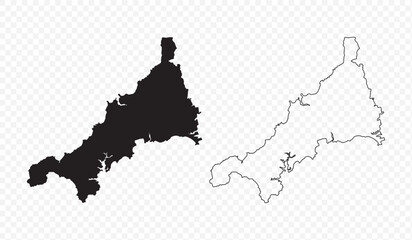 Vector map illustration of Cornwall, England, UK, showing silhouette and outline sketch.favorite_border favorite
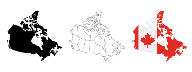 Canada map silhouettefavorite_border favorite
 Seamless bumpy textured plastic or rubber normal map background texture. Painted plaster repeat pattern. Realistic 8k game or architecture design height or bump mapping material shader 3D rendering.favorite_border favorite
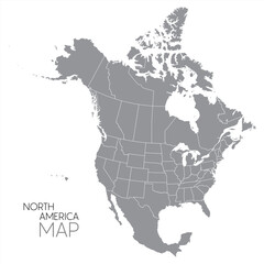 North American continent with contours of countries. Vector drawing, vector 10 eps.favorite_border favorite
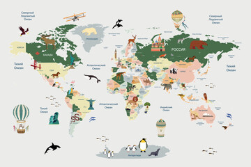 Children's map of the world with sights detailedfavorite_border favorite
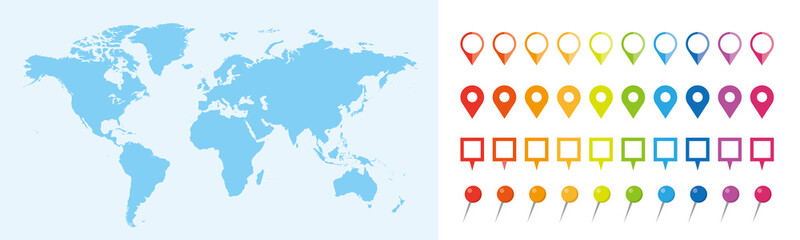 世界地図 ビジネス マップ ピンとマーカーのセットfavorite_border favorite
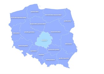 Administracyjna mapa polskifavorite_border favorite
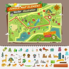 jungle map with graphic elements - vectorfavorite_border favorite
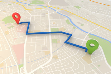 city map with Pin Pointers 3d rendering imagefavorite_border favorite
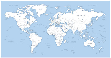 Detailed world map - vector illustration. Highly detailed world map: countries, capitals, cities, water bodiesfavorite_border favorite
 Topographic map. Height map with contour lines and dotted line grid seamless vector pattern background illustrationfavorite_border favorite
 Vector world map for kids with cute cartoon planes and air balloons. Children's map design for wallpaper, kid's room, wall art. America, Europa, Asia, Africa, Australia, Arctica. Vector illustration.favorite_border favorite
 Detailed vector illustration of a world map showing continents, countries, and natural features oceans and seas .favorite_border favorite
 abstract geometric topographic mountain map with editable strokes in chart in black background templatefavorite_border favorite
 Set of 30 outline icons related to location. Linear icon collection. Editable stroke. Vector illustrationfavorite_border favorite
 City navigation perspective map with two point directional pinfavorite_border favorite
 grunge old paper for treasure map or vintage letterfavorite_border favorite
 Map pointer iconfavorite_border favorite
 Blank Outline Map of the United States of America with State Borders, Including Alaska and Hawaii, for Geographic Educationfavorite_border favorite
 world mapfavorite_border favorite
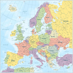 Europe map - highly detailed vector illustrationfavorite_border favorite
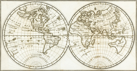 Antique world map of the 19th century and the old typefavorite_border favorite
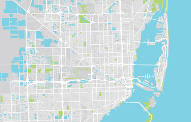 Urban city map of Miami, Floridafavorite_border favorite
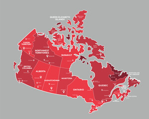 Canada map with state names for educationfavorite_border favorite
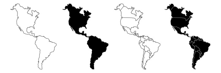 America map,America Continent vector map in white background.America map background with country.America political map. High detailed. Solid simple style. Black and white. Vector editable.favorite_border favorite
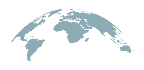 Curved world map silhouette, half globe of blue planet Earth, global business geography, worldwide international. Africa, Asia and America, Europe, Australia continents. Travel vector infographicsfavorite_border favorite
 United Kingdom silhouette map and two patterns of dots and slanted lines. Flat vector illustration isolated on whitefavorite_border favorite
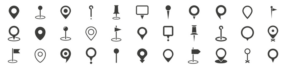 Set of location pin icons. Map pointers. Map markers. Vector illustration.favorite_border favorite
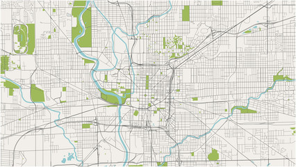 map of the city of Indianapolis, Indiana, USAfavorite_border favorite
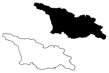 Georgia map vector illustration, scribble sketch Georgianfavorite_border favorite
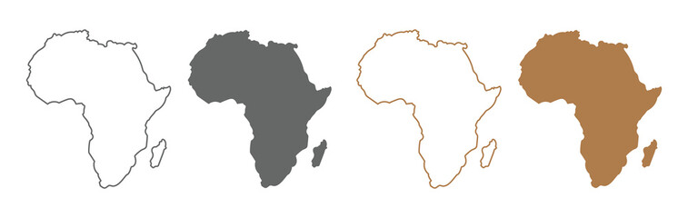 Africa map silhouette vector flat illustration design. African map outline.favorite_border favorite
 abstract pin point logo. creative map navigation vector design conceptfavorite_border favorite
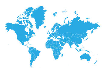 world map. High detailed blue map of world on PNG transparent background.favorite_border favorite
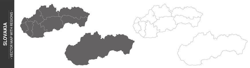 set of 4 political maps of Slovakia with regions isolated on white backgroundfavorite_border favorite
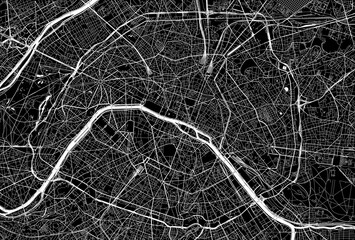 Dark area map of Paris, Francefavorite_border favorite
 orange india national map vector image on white backgroundfavorite_border favorite
 traveler girl hold in hands map and look sun flare, people planning trip, hipster tourist on background nature, enjoy journey landscape vacation trip, lifestyle holiday concept, sun mountainfavorite_border favorite
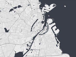 Copenhagen map. Copenhagen city map poster. Map of Copenhagen street, urban area.favorite_border favorite
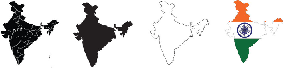 Map Set of India, Silhouette, Outline, Flag Map, and Region Mapfavorite_border favorite
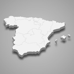 Spain 3d map with borders Template for your designfavorite_border favorite
 World map divided into countries. Continents and oceans, africa, antarctic, asia, europe, america, australia. PNG detailed map silhouette illustrationfavorite_border favorite
 Kraków, Poland, Black and White high resolution vector mapfavorite_border favorite
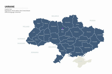 graphic vector map of ukraine. ukraine map. europe country map.favorite_border favorite
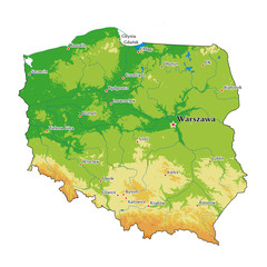 Poland physical mapfavorite_border favorite
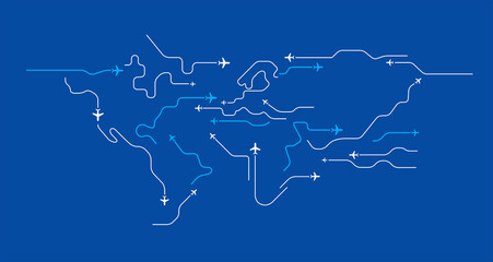 Flying airplanes world map abstract vector background - flying white airplanes routes on blue background - Air travel concept - line art illustrationfavorite_border favorite
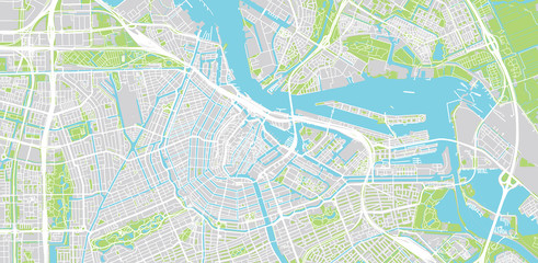 Urban vector city map of Amsterdam, The Netherlandsfavorite_border favorite
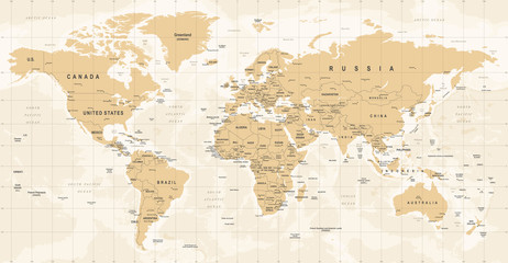 World Map Vintage Vector. Detailed illustration of worldmapfavorite_border favorite
 Brazil map in vibrant low poly style, modern geometric design perfect for creative projects.favorite_border favorite
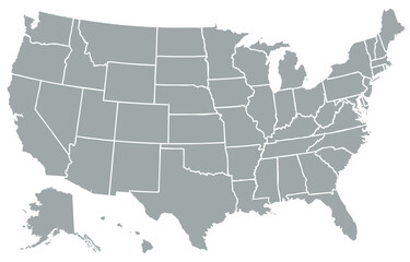 USA map, map of the United States of America with division on statesfavorite_border favorite
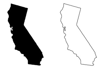 California map vector illustration, scribble sketch California mapfavorite_border favorite
 World map point and line composition concept of global business. Global network connection. Vector Illustration Free Vectorfavorite_border favorite
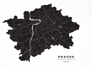 Prague map vector poster flyerfavorite_border favorite
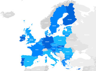 vector mape of european union bordersfavorite_border favorite
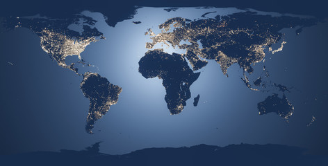 world map illustration nightfavorite_border favorite
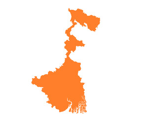 West Bengal state map in orange – isolated flat vector graphicfavorite_border favorite
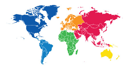 World map on white background. All countries in The World different colors. Can use for printing, website, presentation element, textile. World map vector illustration, high-resolution, travel.favorite_border favorite
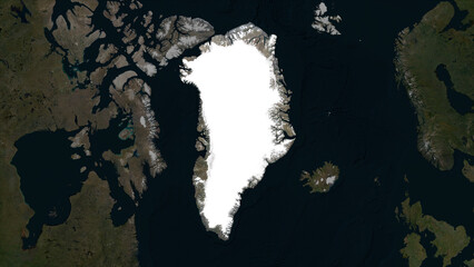 Greenland highlighted. Low-res satellite mapfavorite_border favorite
 Lodz map. Lodz city map poster. Map of Lodz street, urban area.favorite_border favorite
 Global mapfavorite_border favorite
 kolorowa mapa Irlandii i Angliifavorite_border favorite
 Minimal light grey gradient with white rounded line network and nodes — abstract tech circuit UI map template with copy spacefavorite_border favorite
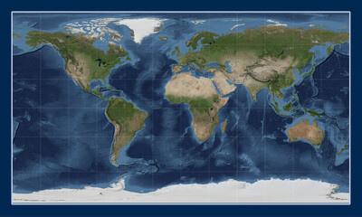 World satellite map - 0 PM. Patterson Cylindricalfavorite_border favorite
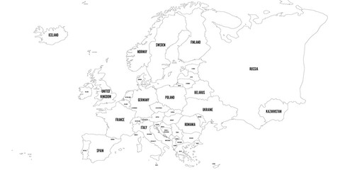 Vector outline map of Europe. Simplified vector map made of black state contours on white background with black Europe countries labels.favorite_border favorite
 Cartina di Barcellona, città, strade e vie, Spagnafavorite_border favorite
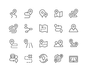 Line Route Iconsfavorite_border favorite
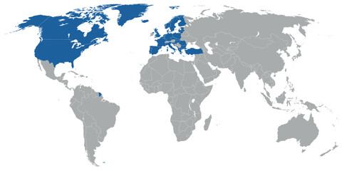 North Atlantic organization member states on map of the worldfavorite_border favorite
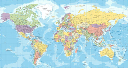 World Map - Political - Vector Detailed Illustrationfavorite_border favorite
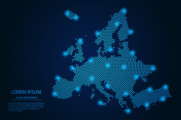 Abstract image Europe map from point blue and glowing stars on a dark background. vector illustration. Vector eps 10.favorite_border favorite
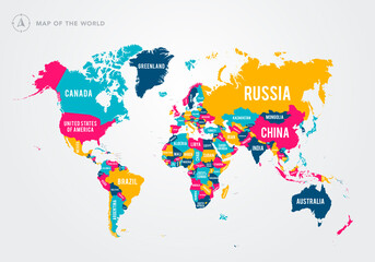 Vector Illustration Colorful Map Of The World With Country Namesfavorite_border favorite
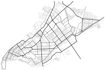 Samara city map - town streets on the plan. Map of the scheme of road. Urban environment, architectural background. Vectorfavorite_border favorite
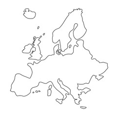 Mapa Europy - konturyfavorite_border favorite
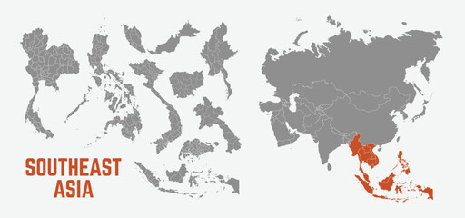 Southeast Asia map. Indonesia, Malaysia,Thailand, Laos, Philippines, Vietnam, Singapore, Cambodia maps with regions. Asia map isolated on white background. High detailed. Vector illustrationfavorite_border favorite
 Old brown vintage parchment paper texture with aged grunge background sheetfavorite_border favorite
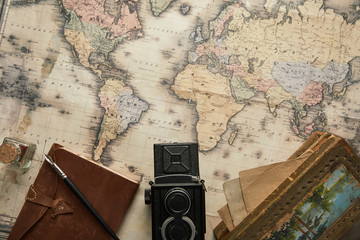 top view of vintage camera, notepad with fountain pen and painting on map backgroundfavorite_border favorite
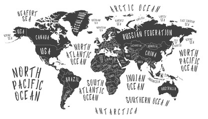 Earth map with the name of the countriesfavorite_border favorite
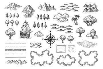 Vintage map elements set with mountains, trees, ships and compass in engraving style, Transparent Backgroundfavorite_border favorite
 simple logo map of brazil Illustration in a linear style. Abstract line art brazil map Logotype concept icon. Vector logo Brazil map color silhouette on a dark background. EPS 10favorite_border favorite
 Latin America map digital 4kfavorite_border favorite
 A generic city map with iconsfavorite_border favorite
 Urban vector city map of Torun, Polandfavorite_border favorite
 Vector Black map of asia country with borders of regionsfavorite_border favorite
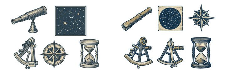 Vintage navigation and astronomy tools with compass, telescope, sextant, hourglass, and constellation mapsfavorite_border favorite
 United States of America map. USA map with states on a white background. Vector illustrationfavorite_border favorite