-
Portugal vector map with Azores and Madeira. isolated geographic template of european country
Do ulubionych favorite_border
Usuń z ulubionych favorite
-
Abstract of poland map network, internet and global connection concept, Wire Frame 3D mesh polygonal network line, design sphere, dot and structure. Vector illustration eps 10.
Do ulubionych favorite_border
Usuń z ulubionych favorite
-
United States of American Map
Do ulubionych favorite_border
Usuń z ulubionych favorite
-
European Union member states after Brexit, political map. The 27 EU member states, after United Kingdom left in 2020. Special member state territories are not included in the map. Illustration. Vector
Do ulubionych favorite_border
Usuń z ulubionych favorite
-
World map with country borders
Do ulubionych favorite_border
Usuń z ulubionych favorite
-
Do ulubionych favorite_border
Usuń z ulubionych favorite
-
Person navigating outdoors using map and compass
Do ulubionych favorite_border
Usuń z ulubionych favorite
-
street map of city, seamless map pattern of road
Do ulubionych favorite_border
Usuń z ulubionych favorite
-
World map. Highly detailed map of the world with detailed borders of all countries, cities, regions and bodies of water in blue tones.
Do ulubionych favorite_border
Usuń z ulubionych favorite
-
Europe maps with regions isolated on a white background. Europe countries maps set. Map of Europe. Vector illustration
Do ulubionych favorite_border
Usuń z ulubionych favorite
-
Mapa azul de la Unión Europea en fondo blanco.
Do ulubionych favorite_border
Usuń z ulubionych favorite
-
Map of Europe set with division of country, European Union
Do ulubionych favorite_border
Usuń z ulubionych favorite
-
Weltkarte - einzelne Länder in Farbe (hoher Detailgrad)
Do ulubionych favorite_border
Usuń z ulubionych favorite
-
Location pin icon set map pointer gps navigation marker distance route business address destination indicator pinpoint button vector icons collection black white silhouette design
Do ulubionych favorite_border
Usuń z ulubionych favorite
-
Netherlands map vector. High detailed vector outline, blue silhouette and administrative divisions map of Netherlands. All isolated on white background. Vector illustratin
Do ulubionych favorite_border
Usuń z ulubionych favorite
-
USA map – vector illustration of states and political boundaries
Do ulubionych favorite_border
Usuń z ulubionych favorite
-
Detailed, vector, blue map of Czech Republic with administrative divisions into regions country
Do ulubionych favorite_border
Usuń z ulubionych favorite
-
Do ulubionych favorite_border
Usuń z ulubionych favorite
-
Sweden map silhouette line country Europe map illustration vector outline European isolated on white background
Do ulubionych favorite_border
Usuń z ulubionych favorite
-
city map with Pin Pointers 3d rendering image
Do ulubionych favorite_border
Usuń z ulubionych favorite
-
vector illustration of gray colored world map
Do ulubionych favorite_border
Usuń z ulubionych favorite
-
Do ulubionych favorite_border
Usuń z ulubionych favorite
-
Colorful Vector map of Europe
Do ulubionych favorite_border
Usuń z ulubionych favorite
-
World map. Flat Earth worldmap with continent silhouettes
Do ulubionych favorite_border
Usuń z ulubionych favorite
-
Location map pin icon collection isolated on white background.
Do ulubionych favorite_border
Usuń z ulubionych favorite
-
Do ulubionych favorite_border
Usuń z ulubionych favorite
-
Aged parchment map with compass and ship rose
Do ulubionych favorite_border
Usuń z ulubionych favorite
-
Blank map Catalonia of Spain. High quality map Comarcas of Catalonia on transparent background for your web site design, logo, app, UI. Spain. EPS10.
Do ulubionych favorite_border
Usuń z ulubionych favorite
-
Do ulubionych favorite_border
Usuń z ulubionych favorite
-
Star constellations around the poles. Nothern and Southern high detailed star map with symbols and signs of zodiac. Astrological celestial map
Do ulubionych favorite_border
Usuń z ulubionych favorite
-
City map navigation. GPS navigator. Point marker icon. Top view, view from above. Abstract background. Cute simple design. Flat style vector illustration.
Do ulubionych favorite_border
Usuń z ulubionych favorite
-
Animals world landmarks map for kid. World vector poster for children, cute illustrated. Cartoon globe with animals. Oceans and continent: South America, Eurasia, North America, Africa, Australia
Do ulubionych favorite_border
Usuń z ulubionych favorite
-
Do ulubionych favorite_border
Usuń z ulubionych favorite
-
Spain map set of grey color
Do ulubionych favorite_border
Usuń z ulubionych favorite
-
Poland Map 3d. National map 3D rendering set in Europe continent.
Do ulubionych favorite_border
Usuń z ulubionych favorite
-
Do ulubionych favorite_border
Usuń z ulubionych favorite
-
World map with pointer marks
Do ulubionych favorite_border
Usuń z ulubionych favorite
-
Do ulubionych favorite_border
Usuń z ulubionych favorite
-
Do ulubionych favorite_border
Usuń z ulubionych favorite
-
Background Nashville map, United States, white and light grey city poster. Vector map with roads and water. Widescreen proportion, flat design roadmap.
Do ulubionych favorite_border
Usuń z ulubionych favorite
-
City map. Town streets. Downtown gps navigation plan. Abstract transportation scheme. Drawing scheme town, white line road on gray background. Urban pattern texture. Vector
Do ulubionych favorite_border
Usuń z ulubionych favorite
-
Black halftone circled dotted blue world map. Vector illustration. Dotted map in flat design. Vector illustration isolated on white background
Do ulubionych favorite_border
Usuń z ulubionych favorite
-
Vector map of Australia . High detailed map with division, cities and capital Canberra. Political map, world map, infographic elements.
Do ulubionych favorite_border
Usuń z ulubionych favorite
-
Wektorowa mapa województw w Polsce - KOLOR
Do ulubionych favorite_border
Usuń z ulubionych favorite
-
Poland - map and flag illustration
Do ulubionych favorite_border
Usuń z ulubionych favorite
-
Global network connection. World map point and line composition concept of global business. Vector Illustration
Do ulubionych favorite_border
Usuń z ulubionych favorite
-
Location pin icon. Minimal map marker vector for navigation apps. Geotag pointer marking place and position symbol. Clean destination point sign pictogram concept.
Do ulubionych favorite_border
Usuń z ulubionych favorite
-
Do ulubionych favorite_border
Usuń z ulubionych favorite
-
podział administracyjny polski, województwa
Do ulubionych favorite_border
Usuń z ulubionych favorite
-
Canada map – vector illustration of political and geographical borders
Do ulubionych favorite_border
Usuń z ulubionych favorite
-
USA modern map with federal states in blue color isolated on white background vector illustration eps 10
Do ulubionych favorite_border
Usuń z ulubionych favorite
-
Map and navigation icon set. Containing location, navigation, direction, GPS, flag, destination, route, road and more. Vector outline icons collection.
Do ulubionych favorite_border
Usuń z ulubionych favorite
-
Vintage Illustrated World Map
Do ulubionych favorite_border
Usuń z ulubionych favorite
-
Ukraine map icon. Ukraine silhouette flag collection signs. Ukrainian cartography border icons. Stock vector
Do ulubionych favorite_border
Usuń z ulubionych favorite
-
Camping map creator. Set of flat cartoon elements for constructing summer camp activity. Vector nature clip art with mountains, waterfall, trees, forest animals for hiking or campfire plan. .
Do ulubionych favorite_border
Usuń z ulubionych favorite
-
Сity map New York, color detailed urban road plan, vector illustration
Do ulubionych favorite_border
Usuń z ulubionych favorite
-
World map highlighting global connections with network lines for communication and trade representation.
Do ulubionych favorite_border
Usuń z ulubionych favorite
-
Futuristic route dashboard
Do ulubionych favorite_border
Usuń z ulubionych favorite
-
City map navigation. GPS navigator. Distance. Point marker icon. Top view, view from above. Abstract background. Cute simple design. Flat style vector illustration.
Do ulubionych favorite_border
Usuń z ulubionych favorite
-
Poznan map. Detailed map of Poznan city poster with streets. Cityscape vector.
Do ulubionych favorite_border
Usuń z ulubionych favorite
-
Map of the world made of gray dots. Dotted silhouette, outline and surface of the Earth under Robinson projection. Dots in a row. Isolated illustration on white background. Vector.
Do ulubionych favorite_border
Usuń z ulubionych favorite
-
Navigation, location, GPS elements - thin line web icon set. Outline icons collection. Simple vector illustration.
Do ulubionych favorite_border
Usuń z ulubionych favorite
-
National flags of the countries. Vector illustration on white background
Do ulubionych favorite_border
Usuń z ulubionych favorite
-
3D rendered top view of city map with road building river 3D illustration
Do ulubionych favorite_border
Usuń z ulubionych favorite
-
Województwo pomorskie z kodami pocztowymi i podziałami na gminy i powiaty
Do ulubionych favorite_border
Usuń z ulubionych favorite
-
Set of s political maps of India with regions isolated on white
Do ulubionych favorite_border
Usuń z ulubionych favorite
-
Compass, rope and glasses
Do ulubionych favorite_border
Usuń z ulubionych favorite
-
universal collection flag in world
Do ulubionych favorite_border
Usuń z ulubionych favorite
-
Set of marker pointer on map. map vector illustration. Modern plan pin pointer roadmap. GPS navigation systems. Vector illustration
Do ulubionych favorite_border
Usuń z ulubionych favorite
-
map pin location icon logo design
Do ulubionych favorite_border
Usuń z ulubionych favorite
-
Folded location map with marker. City map with pin pointer. GPS navigation map with city street roads. Vector illustration.
Do ulubionych favorite_border
Usuń z ulubionych favorite
-
vector map flag of Israel isolated on white background
Do ulubionych favorite_border
Usuń z ulubionych favorite
-
Dynamic digital world map emphasize Western Europe continental for AI powered global network connectivity big data transfer cyber technology network information exchange and telecommunication concept.
Do ulubionych favorite_border
Usuń z ulubionych favorite
-
Vector map of France. Country map with division, cities and capital Paris. Political map, world map, infographic elements.
Do ulubionych favorite_border
Usuń z ulubionych favorite
-
South East Asia map with regions, countries. Indonesia, Vietnam, Thailand, Philippines, Malaysia maps. Outline South East Asia map isolated on white background. Vector illustration
Do ulubionych favorite_border
Usuń z ulubionych favorite
-
Old nautical map light template
Do ulubionych favorite_border
Usuń z ulubionych favorite
-
Do ulubionych favorite_border
Usuń z ulubionych favorite
-
Vector city map of Austin, Texas.
Do ulubionych favorite_border
Usuń z ulubionych favorite
-
Abstract vector topographic map in green colors
Do ulubionych favorite_border
Usuń z ulubionych favorite
-
england uk united kingdom map silhouette
Do ulubionych favorite_border
Usuń z ulubionych favorite
-
Illustration of a world map made of dots on a white background. Horizontal banner
Do ulubionych favorite_border
Usuń z ulubionych favorite
-
Children's world map with animals and attractions in Russian. Photo wallpapers for the children's room.
Do ulubionych favorite_border
Usuń z ulubionych favorite
-
Black red blue yellow location pin symbols with concentric circles map marker pointer
Do ulubionych favorite_border
Usuń z ulubionych favorite
-
Set Safe, Location with percent discount, Discount tag, Percent and laptop, Finance document lock and icon. Vector
Do ulubionych favorite_border
Usuń z ulubionych favorite
-
Detailed map of the United Kingdom for travel guides, geography lessons, and historical presentations
Do ulubionych favorite_border
Usuń z ulubionych favorite
-
Poster map of United States of America with state names. Black and white print map of USA for t-shirt, poster or geographic themes. Hand-drawn black map with states. Vector Illustration
Do ulubionych favorite_border
Usuń z ulubionych favorite
-
Poland map blue white card paper 3D vector
Do ulubionych favorite_border
Usuń z ulubionych favorite
-
similar world map blank for infographic
Do ulubionych favorite_border
Usuń z ulubionych favorite
-
Do ulubionych favorite_border
Usuń z ulubionych favorite
-
Do ulubionych favorite_border
Usuń z ulubionych favorite
-
Travelers explore the mountainous forest map.
Do ulubionych favorite_border
Usuń z ulubionych favorite
-
black colored vector illustration of political world map outline with gold colored borders
Do ulubionych favorite_border
Usuń z ulubionych favorite
-
Do ulubionych favorite_border
Usuń z ulubionych favorite
-
Poland vector map with infographic elements, pointer marks.
Do ulubionych favorite_border
Usuń z ulubionych favorite
-
World map on blue background banner
Do ulubionych favorite_border
Usuń z ulubionych favorite
-
vector city map of Warsaw, Poland
Do ulubionych favorite_border
Usuń z ulubionych favorite
-
Kraków, Poland artistic blueprint map poster
Do ulubionych favorite_border
Usuń z ulubionych favorite
-
Urban vector city map of Krakow, Poland
Do ulubionych favorite_border
Usuń z ulubionych favorite
-
3D Realistic Location map pin gps pointer markers vector illustration for destination.
Do ulubionych favorite_border
Usuń z ulubionych favorite
-
Do ulubionych favorite_border
Usuń z ulubionych favorite
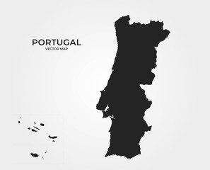 Portugal vector map with Azores and Madeira. isolated geographic template of european countryfavorite_border favorite
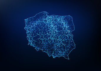 Abstract of poland map network, internet and global connection concept, Wire Frame 3D mesh polygonal network line, design sphere, dot and structure. Vector illustration eps 10.favorite_border favorite
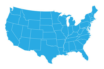 United States of American Mapfavorite_border favorite
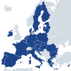 European Union member states after Brexit, political map. The 27 EU member states, after United Kingdom left in 2020. Special member state territories are not included in the map. Illustration. Vectorfavorite_border favorite
 World map with country bordersfavorite_border favorite
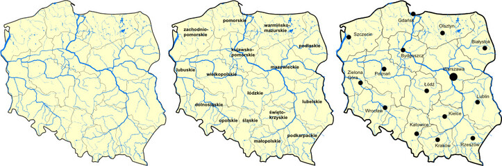 Mapa Polskifavorite_border favorite
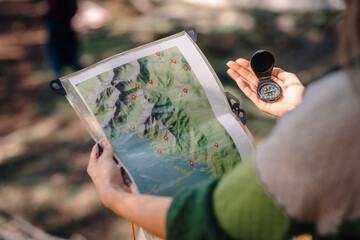 Person navigating outdoors using map and compassfavorite_border favorite
 street map of city, seamless map pattern of roadfavorite_border favorite
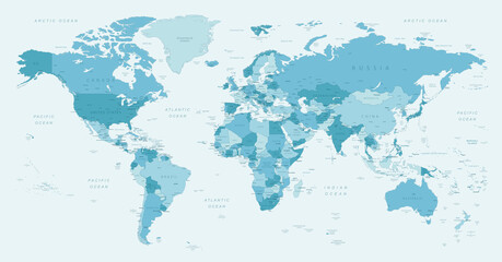 World map. Highly detailed map of the world with detailed borders of all countries, cities, regions and bodies of water in blue tones.favorite_border favorite
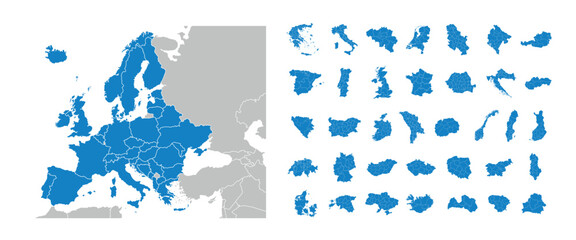 Europe maps with regions isolated on a white background. Europe countries maps set. Map of Europe. Vector illustrationfavorite_border favorite
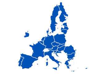 Mapa azul de la Unión Europea en fondo blanco.favorite_border favorite
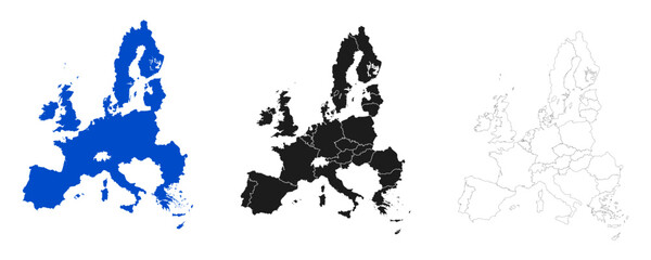 Map of Europe set with division of country, European Unionfavorite_border favorite
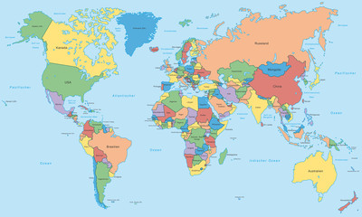 Weltkarte - einzelne Länder in Farbe (hoher Detailgrad)favorite_border favorite
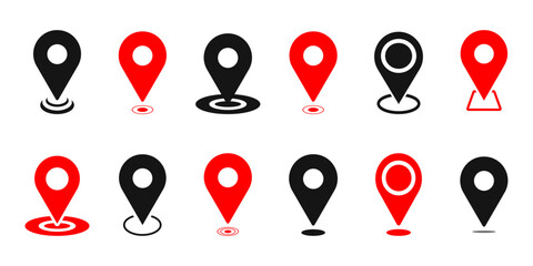 Location pin icon set map pointer gps navigation marker distance route business address destination indicator pinpoint button vector icons collection black white silhouette designfavorite_border favorite
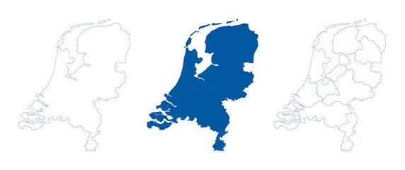 Netherlands map vector. High detailed vector outline, blue silhouette and administrative divisions map of Netherlands. All isolated on white background. Vector illustratinfavorite_border favorite
 USA map – vector illustration of states and political boundariesfavorite_border favorite
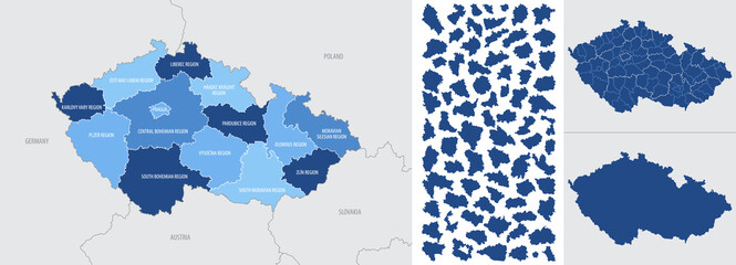 Detailed, vector, blue map of Czech Republic with administrative divisions into regions countryfavorite_border favorite
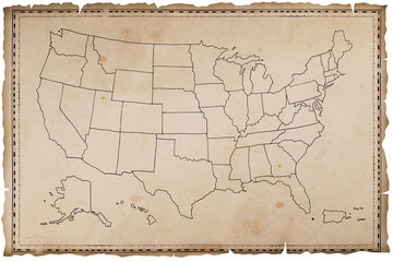 Stara mapa USAfavorite_border favorite
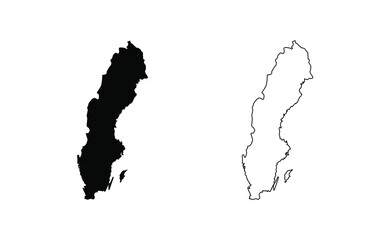 Sweden map silhouette line country Europe map illustration vector outline European isolated on white backgroundfavorite_border favorite
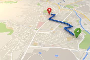 city map with Pin Pointers 3d rendering imagefavorite_border favorite
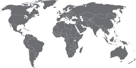 vector illustration of gray colored world mapfavorite_border favorite
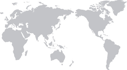 世界地図(日本中心)モノクロfavorite_border favorite
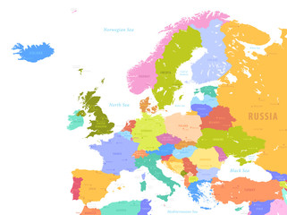 Colorful Vector map of Europefavorite_border favorite
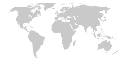 World map. Flat Earth worldmap with continent silhouettesfavorite_border favorite
 Location map pin icon collection isolated on white background.favorite_border favorite
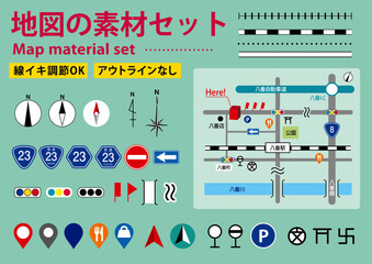 編集可能な地図や案内図の素材セットfavorite_border favorite
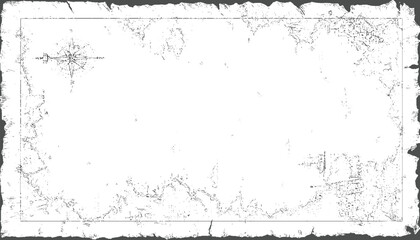 Aged parchment map with compass and ship rosefavorite_border favorite
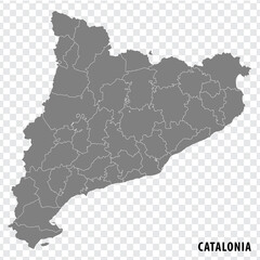 Blank map Catalonia of Spain. High quality map Comarcas of Catalonia on transparent background for your web site design, logo, app, UI. Spain. EPS10.favorite_border favorite
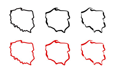 Mapa Polski - konturyfavorite_border favorite
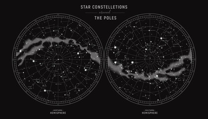 Star constellations around the poles. Nothern and Southern high detailed star map with symbols and signs of zodiac. Astrological celestial mapfavorite_border favorite
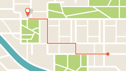 City map navigation. GPS navigator. Point marker icon. Top view, view from above. Abstract background. Cute simple design. Flat style vector illustration.favorite_border favorite
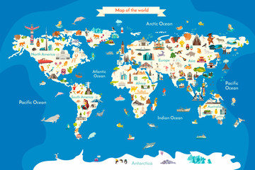 Animals world landmarks map for kid. World vector poster for children, cute illustrated. Cartoon globe with animals. Oceans and continent: South America, Eurasia, North America, Africa, Australiafavorite_border favorite
 Name Alison bunte Würfelfavorite_border favorite
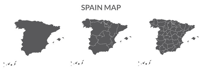 Spain map set of grey colorfavorite_border favorite
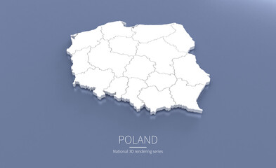 Poland Map 3d. National map 3D rendering set in Europe continent.favorite_border favorite
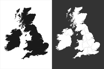 united kingdom mapfavorite_border favorite
 World map with pointer marksfavorite_border favorite
 Cartoon world mapfavorite_border favorite
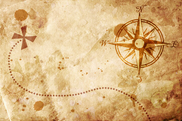 old mapfavorite_border favorite
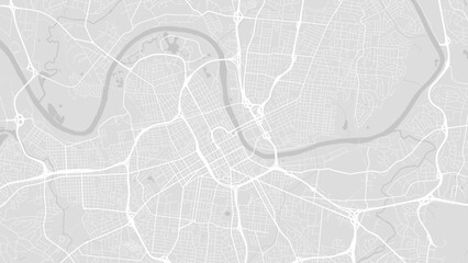 Background Nashville map, United States, white and light grey city poster. Vector map with roads and water. Widescreen proportion, flat design roadmap.favorite_border favorite
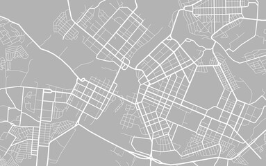 City map. Town streets. Downtown gps navigation plan. Abstract transportation scheme. Drawing scheme town, white line road on gray background. Urban pattern texture. Vectorfavorite_border favorite
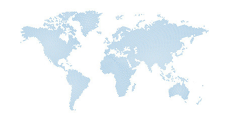 Black halftone circled dotted blue world map. Vector illustration. Dotted map in flat design. Vector illustration isolated on white backgroundfavorite_border favorite
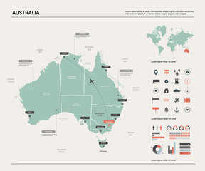 Vector map of Australia . High detailed map with division, cities and capital Canberra. Political map, world map, infographic elements.favorite_border favorite
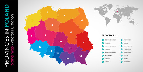 Wektorowa mapa województw w Polsce - KOLORfavorite_border favorite
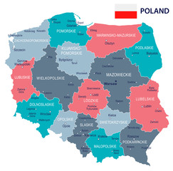 Poland - map and flag illustrationfavorite_border favorite
 Global network connection. World map point and line composition concept of global business. Vector Illustrationfavorite_border favorite
 Location pin icon. Minimal map marker vector for navigation apps. Geotag pointer marking place and position symbol. Clean destination point sign pictogram concept.favorite_border favorite
 map Małopolskafavorite_border favorite
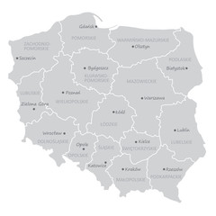 podział administracyjny polski, województwafavorite_border favorite
 Canada map – vector illustration of political and geographical bordersfavorite_border favorite
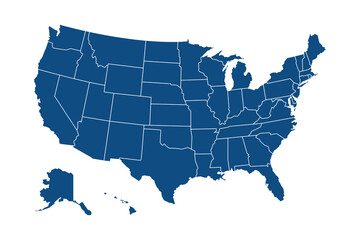 USA modern map with federal states in blue color isolated on white background vector illustration eps 10favorite_border favorite
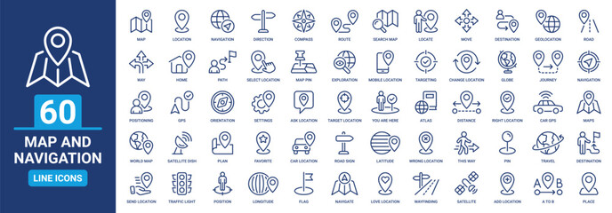 Map and navigation icon set. Containing location, navigation, direction, GPS, flag, destination, route, road and more. Vector outline icons collection.favorite_border favorite
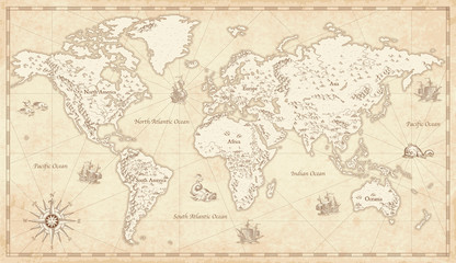 Vintage Illustrated World Mapfavorite_border favorite
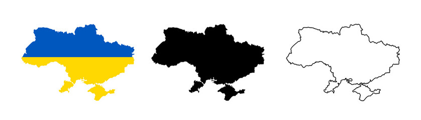 Ukraine map icon. Ukraine silhouette flag collection signs. Ukrainian cartography border icons. Stock vectorfavorite_border favorite
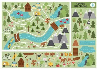 Camping map creator. Set of flat cartoon elements for constructing summer camp activity. Vector nature clip art with mountains, waterfall, trees, forest animals for hiking or campfire plan. .favorite_border favorite
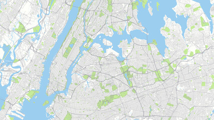 Сity map New York, color detailed urban road plan, vector illustrationfavorite_border favorite
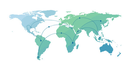 World map highlighting global connections with network lines for communication and trade representation.favorite_border favorite
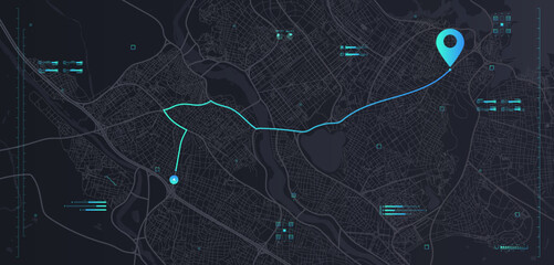 Futuristic route dashboardfavorite_border favorite
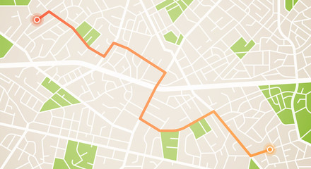 City map navigation. GPS navigator. Distance. Point marker icon. Top view, view from above. Abstract background. Cute simple design. Flat style vector illustration.favorite_border favorite
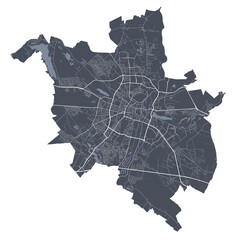 Poznan map. Detailed map of Poznan city poster with streets. Cityscape vector.favorite_border favorite
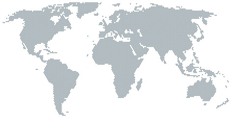 Map of the world made of gray dots. Dotted silhouette, outline and surface of the Earth under Robinson projection. Dots in a row. Isolated illustration on white background. Vector.favorite_border favorite
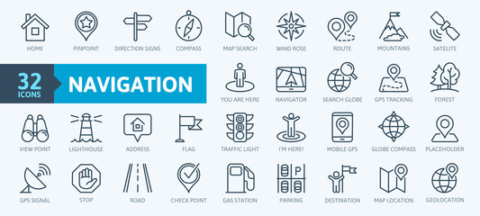 Navigation, location, GPS elements - thin line web icon set. Outline icons collection. Simple vector illustration.favorite_border favorite
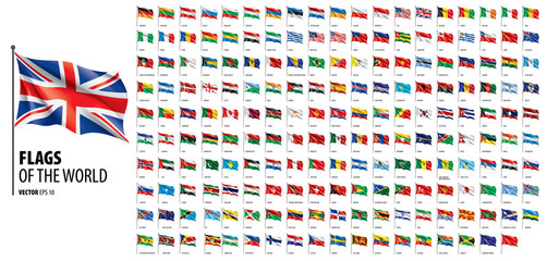 National flags of the countries. Vector illustration on white backgroundfavorite_border favorite
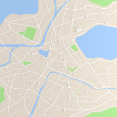 3D rendered top view of city map with road building river 3D illustrationfavorite_border favorite
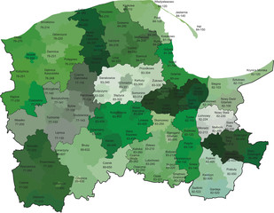 Województwo pomorskie z kodami pocztowymi i podziałami na gminy i powiatyfavorite_border favorite
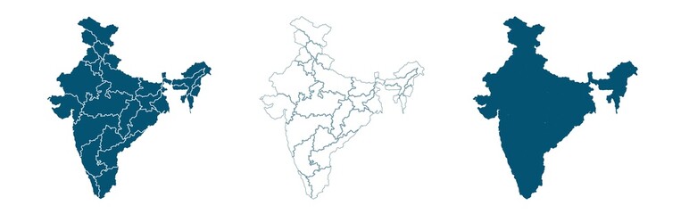 Set of s political maps of India with regions isolated on whitefavorite_border favorite
 Compass, rope and glassesfavorite_border favorite
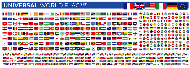 universal collection flag in worldfavorite_border favorite
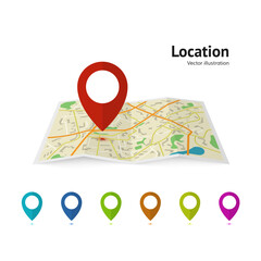 Set of marker pointer on map. map vector illustration. Modern plan pin pointer roadmap. GPS navigation systems. Vector illustrationfavorite_border favorite
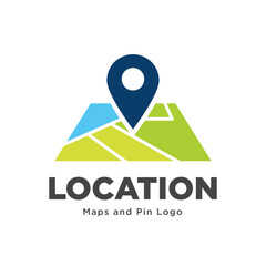 map pin location icon logo designfavorite_border favorite
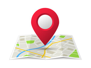 Folded location map with marker. City map with pin pointer. GPS navigation map with city street roads. Vector illustration.favorite_border favorite
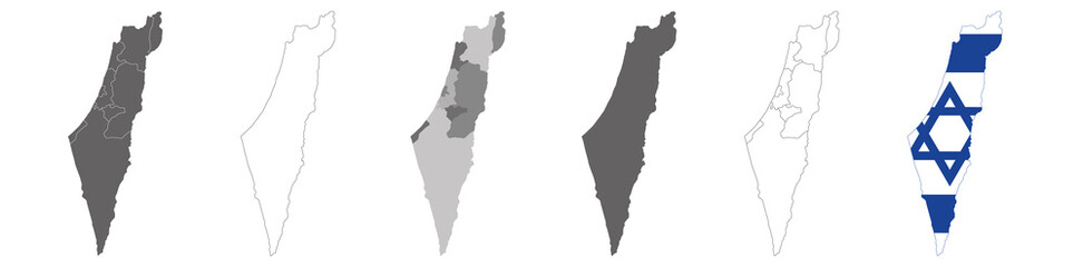 vector map flag of Israel isolated on white backgroundfavorite_border favorite
 Dynamic digital world map emphasize Western Europe continental for AI powered global network connectivity big data transfer cyber technology network information exchange and telecommunication concept.favorite_border favorite
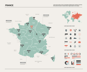 Vector map of France. Country map with division, cities and capital Paris. Political map, world map, infographic elements.favorite_border favorite
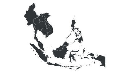 South East Asia map with regions, countries. Indonesia, Vietnam, Thailand, Philippines, Malaysia maps. Outline South East Asia map isolated on white background. Vector illustrationfavorite_border favorite
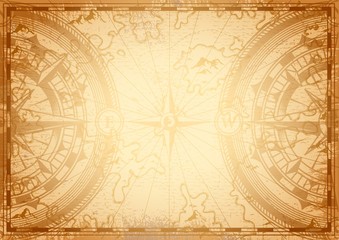 Old nautical map light templatefavorite_border favorite
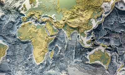 World relief 3d modelfavorite_border favorite
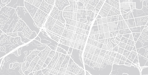 Vector city map of Austin, Texas.favorite_border favorite
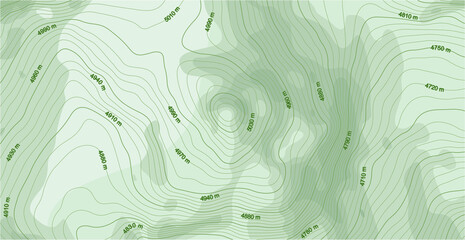 Abstract vector topographic map in green colorsfavorite_border favorite
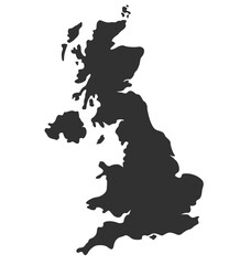 england uk united kingdom map silhouettefavorite_border favorite
 Illustration of a world map made of dots on a white background. Horizontal bannerfavorite_border favorite
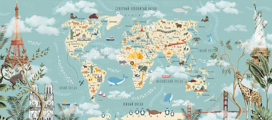 Children's world map with animals and attractions in Russian. Photo wallpapers for the children's room.favorite_border favorite
 Black red blue yellow location pin symbols with concentric circles map marker pointerfavorite_border favorite
 Set Safe, Location with percent discount, Discount tag, Percent and laptop, Finance document lock and icon. Vectorfavorite_border favorite
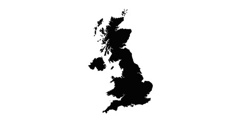 Detailed map of the United Kingdom for travel guides, geography lessons, and historical presentationsfavorite_border favorite
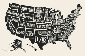 Poster map of United States of America with state names. Black and white print map of USA for t-shirt, poster or geographic themes. Hand-drawn black map with states. Vector Illustrationfavorite_border favorite
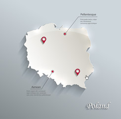 Poland map blue white card paper 3D vectorfavorite_border favorite
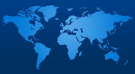 similar world map blank for infographicfavorite_border favorite
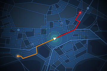 navigation map screenfavorite_border favorite
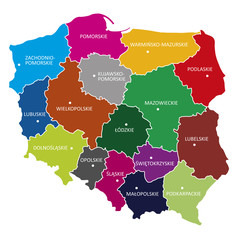 województwa, POLSKAfavorite_border favorite
 Travelers explore the mountainous forest map.favorite_border favorite
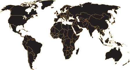 black colored vector illustration of political world map outline with gold colored bordersfavorite_border favorite
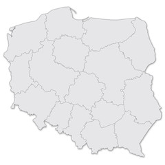 Map of Polandfavorite_border favorite
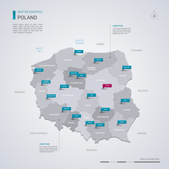 Poland vector map with infographic elements, pointer marks.favorite_border favorite
 World map on blue background bannerfavorite_border favorite
 vector city map of Warsaw, Polandfavorite_border favorite
 Kraków, Poland artistic blueprint map posterfavorite_border favorite
 Urban vector city map of Krakow, Polandfavorite_border favorite
 3D Realistic Location map pin gps pointer markers vector illustration for destination.favorite_border favorite
 街並みと人々のシンプルでフラットなイラストfavorite_border favorite