-
Minimal hiking topography white background black spiral line wireframe landscape location diagram world map textile contour fabric texture design.
Do ulubionych favorite_border
Usuń z ulubionych favorite
-
Dotted world map with digital network concept on white background
Do ulubionych favorite_border
Usuń z ulubionych favorite
-
Do ulubionych favorite_border
Usuń z ulubionych favorite
-
Do ulubionych favorite_border
Usuń z ulubionych favorite
-
World map text composition of country names, typographical black and white vector illustration
Do ulubionych favorite_border
Usuń z ulubionych favorite
-
Vintage World Map - Vector Illustration
Do ulubionych favorite_border
Usuń z ulubionych favorite
-
Abstract world map with illuminated points against a dark blue background
Do ulubionych favorite_border
Usuń z ulubionych favorite
-
stylized world map with interconnected nodes and lines representing global network technology and communication on transparent background
Do ulubionych favorite_border
Usuń z ulubionych favorite
-
Blue color world map isolated on white background.
Do ulubionych favorite_border
Usuń z ulubionych favorite
-
White simplified world map (Europe and Africa centered)
Do ulubionych favorite_border
Usuń z ulubionych favorite
-
Do ulubionych favorite_border
Usuń z ulubionych favorite
-
Do ulubionych favorite_border
Usuń z ulubionych favorite
-
Global network connection. World map point and line composition concept of global business. Vector Illustration
Do ulubionych favorite_border
Usuń z ulubionych favorite
-
A blue vector illustration of a dotted world map on a global planet globe featuring continents like Europe, Asia, and America for geography, travel, and business atlas design
Do ulubionych favorite_border
Usuń z ulubionych favorite
-
World map. Grey modern vector map. Silhouette map.
Do ulubionych favorite_border
Usuń z ulubionych favorite
-
Do ulubionych favorite_border
Usuń z ulubionych favorite
-
robots loading cardboard boxes hi-tech smart factory warehouse logistics automation technology concept modern robotic cartoon characters world map background flat horizontal
Do ulubionych favorite_border
Usuń z ulubionych favorite
-
Vector illustration of 3d headphones on a white background featuring a world map puzzle design to symbolize a global business technology concept for the workforce across every continent and country
Do ulubionych favorite_border
Usuń z ulubionych favorite
-
Double exposure of world map drawing hologram and us dollars bills and man hands.
Do ulubionych favorite_border
Usuń z ulubionych favorite
-
A simple black silhouette of the world map showing all continents and major islands
Do ulubionych favorite_border
Usuń z ulubionych favorite
-
Abstract grid landscape topography white background. white and black relief line wireframe isoline location diagram world map texture design.
Do ulubionych favorite_border
Usuń z ulubionych favorite
-
Globe web icons in line style. Planet Earth, world map, global, travel, collection. Editable stroke. Vector illustration.
Do ulubionych favorite_border
Usuń z ulubionych favorite
-
High Contrast World Map Vector Highlighting North Africa, Middle East, and Asia
Do ulubionych favorite_border
Usuń z ulubionych favorite
-
Stylized globe showing asia and australia on white background
Do ulubionych favorite_border
Usuń z ulubionych favorite
-
graue Weltkarte mit weißen Landgrenzen
Do ulubionych favorite_border
Usuń z ulubionych favorite
-
World Map Color - Asia in Center
Do ulubionych favorite_border
Usuń z ulubionych favorite
-
Abstract map of the earth showing the earth with a pattern of black squares
Do ulubionych favorite_border
Usuń z ulubionych favorite
-
Abstract blue background features a digital world map of white dots and lines, representing global network connections, technology, and communication.
Do ulubionych favorite_border
Usuń z ulubionych favorite
-
Detailed world map image, perfect for travel blogs, business presentations, educational materials, and design projects. Enhance your content with this high-quality visual. Purple on white background.
Do ulubionych favorite_border
Usuń z ulubionych favorite
-
Dark Blue World Map Showing Communication Networks - Abstract Background Illustration, Vector
Do ulubionych favorite_border
Usuń z ulubionych favorite
-
Illustrated World Map with fun hand drawn characters, plants and elements. Cartoon color vector illustration
Do ulubionych favorite_border
Usuń z ulubionych favorite
-
Low poly world map. Eckert IV projection of the world. Yellow, orange, and brown colored polygons. Awesome vector illustration.
Do ulubionych favorite_border
Usuń z ulubionych favorite
-
World map outline with country borders and ocean labels, a simple black and white illustration
Do ulubionych favorite_border
Usuń z ulubionych favorite
-
white topography map geography relief diagram texture design. Topography white background and black line world map texture design. Lines Topographic contour lines grid map seamless pattern.
Do ulubionych favorite_border
Usuń z ulubionych favorite
-
Black and white striped world map illustration with modern minimal style for presentations, education, and global design concepts
Do ulubionych favorite_border
Usuń z ulubionych favorite
-
A blue world map illustration, comprised of landmasses within a white space
Do ulubionych favorite_border
Usuń z ulubionych favorite
-
Stylized dotted world map for presentations and infographics. Dotted world map elements form a structure of nations in a simplified dotted world map model. Realistic vector dotted world map
Do ulubionych favorite_border
Usuń z ulubionych favorite
-
Do ulubionych favorite_border
Usuń z ulubionych favorite
-
White world map on white background with shadow or 3d effect. High resolution modern and clean world map in black and white.
Do ulubionych favorite_border
Usuń z ulubionych favorite
-
Panorama Digital Speed Light Technology Background,Hi-tech Digital and sound wave Concept design,Free Space For text in put,Vector illustration.
Do ulubionych favorite_border
Usuń z ulubionych favorite
-
Abstract grid landscape topography white background. white and black relief line wireframe isoline location diagram world map texture design.
Do ulubionych favorite_border
Usuń z ulubionych favorite
-
Do ulubionych favorite_border
Usuń z ulubionych favorite
-
High Detail World map.Layers used.
Do ulubionych favorite_border
Usuń z ulubionych favorite
-
Do ulubionych favorite_border
Usuń z ulubionych favorite
-
world map with names vector illustration
Do ulubionych favorite_border
Usuń z ulubionych favorite
-
World Map Vintage Ancient Cartoon - Vector Illustration. Multicolored
Do ulubionych favorite_border
Usuń z ulubionych favorite
-
Smiling businessman with global business team in office
Do ulubionych favorite_border
Usuń z ulubionych favorite
-
Global currency exchange concept on world map with currency symbols includes dollar Yuan Yen Euro and Pound sterling for international finance of foreign exchange market and digital money transfer.
Do ulubionych favorite_border
Usuń z ulubionych favorite
-
Dotted Direction Paths And Map Pointers Over World Map., Airplanes World Map, Vector illustration
Do ulubionych favorite_border
Usuń z ulubionych favorite
-
World map halftone. Made for world news and articles. Grey circles on white background.
Do ulubionych favorite_border
Usuń z ulubionych favorite
-
Dynamic digital world map emphasize Western Europe continental for AI powered global network connectivity big data transfer cyber technology network information exchange and telecommunication concept.
Do ulubionych favorite_border
Usuń z ulubionych favorite
-
Pin map with Hong Kong flag on world map. Vector illustration.
Do ulubionych favorite_border
Usuń z ulubionych favorite
-
Black and white world map isolated on white background. Vector illustration.
Do ulubionych favorite_border
Usuń z ulubionych favorite
-
Do ulubionych favorite_border
Usuń z ulubionych favorite
-
Blue Low Poly Political World Map Pacific Centered
Do ulubionych favorite_border
Usuń z ulubionych favorite
-
Do ulubionych favorite_border
Usuń z ulubionych favorite
-
Do ulubionych favorite_border
Usuń z ulubionych favorite
-
Image of world map over purple shapes on black background
Do ulubionych favorite_border
Usuń z ulubionych favorite
-
Do ulubionych favorite_border
Usuń z ulubionych favorite
-
Do ulubionych favorite_border
Usuń z ulubionych favorite
-
Abstract grid landscape topography white background. white and black relief line wireframe isoline location diagram world map texture design.
Do ulubionych favorite_border
Usuń z ulubionych favorite
-
Nuclear war rocket launch dashboard displaying a world map with military-style missile trajectories and a central warning sign illustration global conflict military threats or defense systems
Do ulubionych favorite_border
Usuń z ulubionych favorite
-
World map line connection design. Global network connection isolated white background. Vector Illustration
Do ulubionych favorite_border
Usuń z ulubionych favorite
-
abstract business connection of line from nail node to node on world map background Innovation network points Earth's surface
Do ulubionych favorite_border
Usuń z ulubionych favorite
-
Карта мира с границами стран
Do ulubionych favorite_border
Usuń z ulubionych favorite
-
Highly detailed vector illustration of world map.Borders, countries and cities.
Do ulubionych favorite_border
Usuń z ulubionych favorite
-
dotted world map created from black circular shapes vector illustration country continent infographics, presentations, web design, background
Do ulubionych favorite_border
Usuń z ulubionych favorite
-
Abstract Cloud Computing and Global Network Connections Concept Design with Laptop Computer, Wireless Mobile Device, Transparent Geometric Mesh - Illustration in Editable Vector Format
Do ulubionych favorite_border
Usuń z ulubionych favorite
-
World Map Vector Editable Template for Business Use
Do ulubionych favorite_border
Usuń z ulubionych favorite
-
World Map Gall Peters Projection Editable Silhouette Vector
Do ulubionych favorite_border
Usuń z ulubionych favorite
-
World vector map with forward diagonal line fill (PPT-compatible & fully editable)
Do ulubionych favorite_border
Usuń z ulubionych favorite
-
Glowing World Map: Global Network, Connection, and Technology Background
Do ulubionych favorite_border
Usuń z ulubionych favorite
-
World map point and line composition concept of global business. Global network connection. Vector Illustration Free Vector
Do ulubionych favorite_border
Usuń z ulubionych favorite
-
Do ulubionych favorite_border
Usuń z ulubionych favorite
-
Gray World Map Vector. Detailed illustration of world map.
Do ulubionych favorite_border
Usuń z ulubionych favorite
-
world map earth vector design
Do ulubionych favorite_border
Usuń z ulubionych favorite
-
A colorful world map on blue background
Do ulubionych favorite_border
Usuń z ulubionych favorite
-
Travel banner with location pin, airplane, and yellow suitcase clipart over a world map with Lets Go Travel text. Ideal for tourism ads, vacation planning, and holiday promotion. Vector illustration.
Do ulubionych favorite_border
Usuń z ulubionych favorite
-
Six outline globes some showing landmasses arranged in a grid format
Do ulubionych favorite_border
Usuń z ulubionych favorite
-
Do ulubionych favorite_border
Usuń z ulubionych favorite
-
Minimal area topography spiral line white background. landscape black line wireframe location diagram world map texture design.
Do ulubionych favorite_border
Usuń z ulubionych favorite
-
Perspective view on screen texture with abstract global stats data on digital interface and world map on dark technological background, hud template. 3D rendering
Do ulubionych favorite_border
Usuń z ulubionych favorite
-
World map infographic. Callout, info text boxes vector illustration. World info-graphic data, presentation worldwide option
Do ulubionych favorite_border
Usuń z ulubionych favorite
-
Do ulubionych favorite_border
Usuń z ulubionych favorite
-
world map with abstract crystal pointers, infographic template
Do ulubionych favorite_border
Usuń z ulubionych favorite
-
World Map - Vintage Retro Old Style - Vector Detailed Illustration
Do ulubionych favorite_border
Usuń z ulubionych favorite
-
wave paper curved reliefs abstract background, Abstract topographic contours map background, topography line map. Vintage outdoors style. World map Template. Stock vector
Do ulubionych favorite_border
Usuń z ulubionych favorite
-
Vector graphic artwork suitable for print and web containing flat detailed map of CZECH REPUBLIC
Do ulubionych favorite_border
Usuń z ulubionych favorite
-
Global curved World map. Blue Earth Planet background vector illustration.
Do ulubionych favorite_border
Usuń z ulubionych favorite
-
デジタルネットワークテクノロジー青色背景世界地図素材
Do ulubionych favorite_border
Usuń z ulubionych favorite
-
Isolated world map silhouette graphic in green, perfect for global and international themes
Do ulubionych favorite_border
Usuń z ulubionych favorite
-
View of Paris, Capital city and largest city of France, on a geographical map of Europe, marked with red push pin
Do ulubionych favorite_border
Usuń z ulubionych favorite
-
World Map Vector with Administrative Borders, Modern Pastel Global Silhouette for Creative Designap3.eps
Do ulubionych favorite_border
Usuń z ulubionych favorite
-
modern dotted flat world map in circular pattern, transparent background for website or data design
Do ulubionych favorite_border
Usuń z ulubionych favorite
-
Turkey and Kosovo maps on a global map vector
Do ulubionych favorite_border
Usuń z ulubionych favorite
-
Professional workers and freelancers working together online
Do ulubionych favorite_border
Usuń z ulubionych favorite
-
Flat design world map is showing nine colorful pins with icons on cloudy gradient background
Do ulubionych favorite_border
Usuń z ulubionych favorite
-
World map illustration featuring outlined continents in light gray over a dark background. Ideal for global, business, or educational stock applications.
Do ulubionych favorite_border
Usuń z ulubionych favorite
-
Do ulubionych favorite_border
Usuń z ulubionych favorite
-
Vector graphic artwork suitable for print and web containing flat detailed map of ERITREA
Do ulubionych favorite_border
Usuń z ulubionych favorite
 Minimal hiking topography white background black spiral line wireframe landscape location diagram world map textile contour fabric texture design.favorite_border favorite
 Dotted world map with digital network concept on white backgroundfavorite_border favorite
 World's mapfavorite_border favorite
 Planning his journey.favorite_border favorite
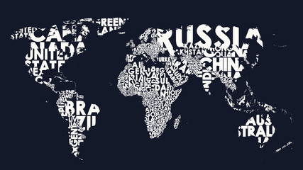 World map text composition of country names, typographical black and white vector illustrationfavorite_border favorite
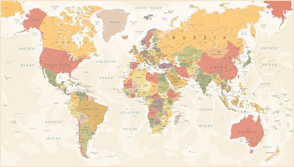 Vintage World Map - Vector Illustrationfavorite_border favorite
 Abstract world map with illuminated points against a dark blue backgroundfavorite_border favorite
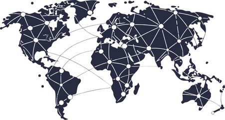 stylized world map with interconnected nodes and lines representing global network technology and communication on transparent backgroundfavorite_border favorite
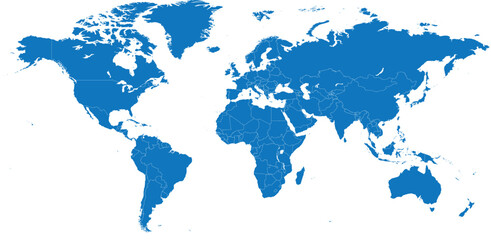 Blue color world map isolated on white background.favorite_border favorite
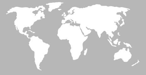 White simplified world map (Europe and Africa centered)favorite_border favorite
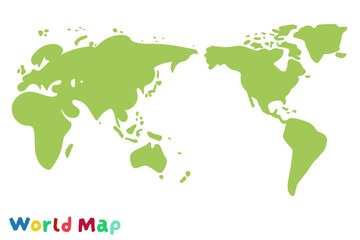 ラフな手書きの世界地図favorite_border favorite
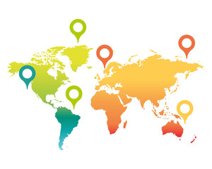 world map with pointersfavorite_border favorite
 Global network connection. World map point and line composition concept of global business. Vector Illustrationfavorite_border favorite
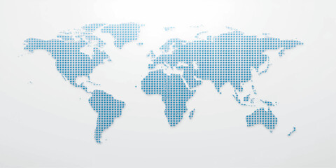 A blue vector illustration of a dotted world map on a global planet globe featuring continents like Europe, Asia, and America for geography, travel, and business atlas designfavorite_border favorite
 World map. Grey modern vector map. Silhouette map.favorite_border favorite
 丸いドットでできた世界地図 太平洋中心 グリーンfavorite_border favorite
 robots loading cardboard boxes hi-tech smart factory warehouse logistics automation technology concept modern robotic cartoon characters world map background flat horizontalfavorite_border favorite
 Vector illustration of 3d headphones on a white background featuring a world map puzzle design to symbolize a global business technology concept for the workforce across every continent and countryfavorite_border favorite
 Double exposure of world map drawing hologram and us dollars bills and man hands.favorite_border favorite
 A simple black silhouette of the world map showing all continents and major islandsfavorite_border favorite
 Abstract grid landscape topography white background. white and black relief line wireframe isoline location diagram world map texture design.favorite_border favorite
 Globe web icons in line style. Planet Earth, world map, global, travel, collection. Editable stroke. Vector illustration.favorite_border favorite
 High Contrast World Map Vector Highlighting North Africa, Middle East, and Asiafavorite_border favorite
 Stylized globe showing asia and australia on white backgroundfavorite_border favorite
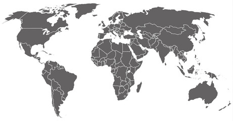 graue Weltkarte mit weißen Landgrenzenfavorite_border favorite
 World Map Color - Asia in Centerfavorite_border favorite
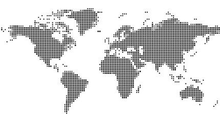 Abstract map of the earth showing the earth with a pattern of black squaresfavorite_border favorite
 Abstract blue background features a digital world map of white dots and lines, representing global network connections, technology, and communication.favorite_border favorite
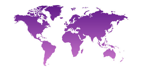 Detailed world map image, perfect for travel blogs, business presentations, educational materials, and design projects. Enhance your content with this high-quality visual. Purple on white background.favorite_border favorite
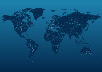 Dark Blue World Map Showing Communication Networks - Abstract Background Illustration, Vectorfavorite_border favorite
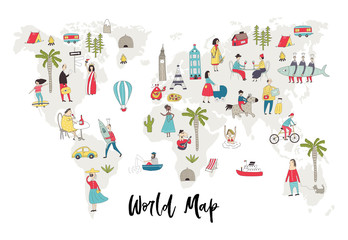 Illustrated World Map with fun hand drawn characters, plants and elements. Cartoon color vector illustrationfavorite_border favorite
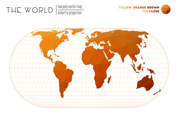 Low poly world map. Eckert IV projection of the world. Yellow, orange, and brown colored polygons. Awesome vector illustration.favorite_border favorite
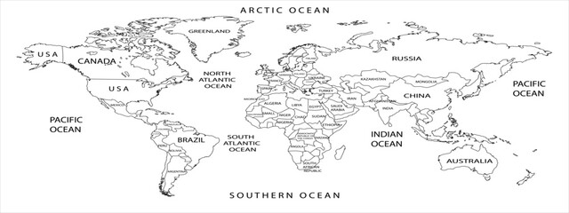 World map outline with country borders and ocean labels, a simple black and white illustrationfavorite_border favorite
 white topography map geography relief diagram texture design. Topography white background and black line world map texture design. Lines Topographic contour lines grid map seamless pattern.favorite_border favorite
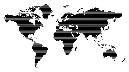 Black and white striped world map illustration with modern minimal style for presentations, education, and global design conceptsfavorite_border favorite
 A blue world map illustration, comprised of landmasses within a white spacefavorite_border favorite
 Stylized dotted world map for presentations and infographics. Dotted world map elements form a structure of nations in a simplified dotted world map model. Realistic vector dotted world mapfavorite_border favorite
 国境線のある六大陸の世界地図、大西洋、地球favorite_border favorite
 White world map on white background with shadow or 3d effect. High resolution modern and clean world map in black and white.favorite_border favorite
 Panorama Digital Speed Light Technology Background,Hi-tech Digital and sound wave Concept design,Free Space For text in put,Vector illustration.favorite_border favorite
 Abstract grid landscape topography white background. white and black relief line wireframe isoline location diagram world map texture design.favorite_border favorite
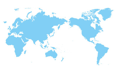 世界地図 高画質ベクターfavorite_border favorite
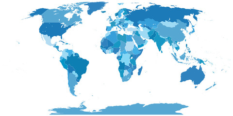 High Detail World map.Layers used.favorite_border favorite
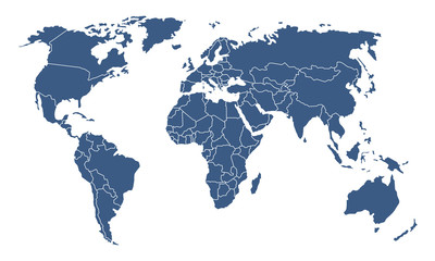 Weltkartefavorite_border favorite
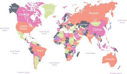 world map with names vector illustrationfavorite_border favorite
 World Map Vintage Ancient Cartoon - Vector Illustration. Multicoloredfavorite_border favorite
 Smiling businessman with global business team in officefavorite_border favorite
 Global currency exchange concept on world map with currency symbols includes dollar Yuan Yen Euro and Pound sterling for international finance of foreign exchange market and digital money transfer.favorite_border favorite
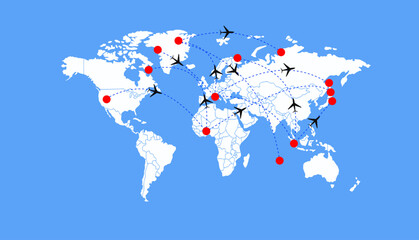 Dotted Direction Paths And Map Pointers Over World Map., Airplanes World Map, Vector illustrationfavorite_border favorite
 World map halftone. Made for world news and articles. Grey circles on white background.favorite_border favorite
 Dynamic digital world map emphasize Western Europe continental for AI powered global network connectivity big data transfer cyber technology network information exchange and telecommunication concept.favorite_border favorite
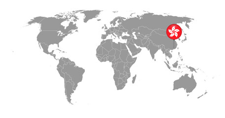 Pin map with Hong Kong flag on world map. Vector illustration.favorite_border favorite
 Black and white world map isolated on white background. Vector illustration.favorite_border favorite
 Mosaic map of the worldfavorite_border favorite
 Blue Low Poly Political World Map Pacific Centeredfavorite_border favorite
 planisphèrefavorite_border favorite
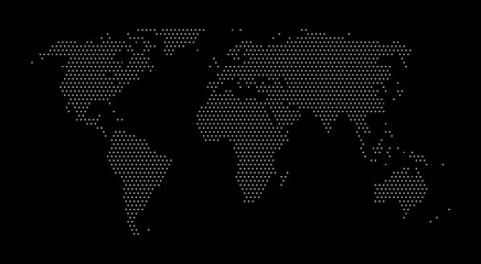 World dotted mapfavorite_border favorite
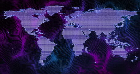 Image of world map over purple shapes on black backgroundfavorite_border favorite
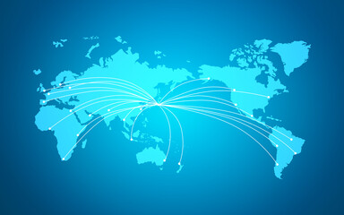 世界地図 ネットワークイメージ ベクター素材favorite_border favorite
 dookoła światafavorite_border favorite
 Abstract grid landscape topography white background. white and black relief line wireframe isoline location diagram world map texture design.favorite_border favorite
 Nuclear war rocket launch dashboard displaying a world map with military-style missile trajectories and a central warning sign illustration global conflict military threats or defense systemsfavorite_border favorite
 World map line connection design. Global network connection isolated white background. Vector Illustrationfavorite_border favorite
 abstract business connection of line from nail node to node on world map background Innovation network points Earth's surfacefavorite_border favorite
 Карта мира с границами странfavorite_border favorite
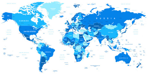 Highly detailed vector illustration of world map.Borders, countries and cities.favorite_border favorite
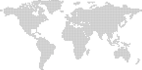 dotted world map created from black circular shapes vector illustration country continent infographics, presentations, web design, backgroundfavorite_border favorite
 Abstract Cloud Computing and Global Network Connections Concept Design with Laptop Computer, Wireless Mobile Device, Transparent Geometric Mesh - Illustration in Editable Vector Formatfavorite_border favorite
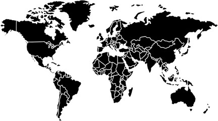 World Map Vector Editable Template for Business Usefavorite_border favorite
 World Map Gall Peters Projection Editable Silhouette Vectorfavorite_border favorite
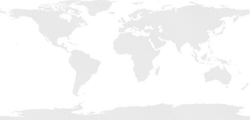 World vector map with forward diagonal line fill (PPT-compatible & fully editable)favorite_border favorite
 Glowing World Map: Global Network, Connection, and Technology Backgroundfavorite_border favorite
 World map point and line composition concept of global business. Global network connection. Vector Illustration Free Vectorfavorite_border favorite
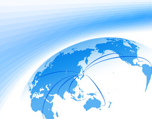 日本中心の世界地図からのビジネスイメージfavorite_border favorite
 Gray World Map Vector. Detailed illustration of world map.favorite_border favorite
 world map earth vector designfavorite_border favorite
 A colorful world map on blue backgroundfavorite_border favorite
 Travel banner with location pin, airplane, and yellow suitcase clipart over a world map with Lets Go Travel text. Ideal for tourism ads, vacation planning, and holiday promotion. Vector illustration.favorite_border favorite
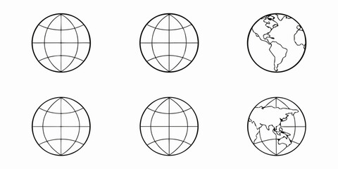 Six outline globes some showing landmasses arranged in a grid formatfavorite_border favorite
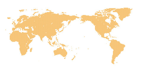 モザイク柄 世界地図 デジタル調favorite_border favorite
 Minimal area topography spiral line white background. landscape black line wireframe location diagram world map texture design.favorite_border favorite
 Perspective view on screen texture with abstract global stats data on digital interface and world map on dark technological background, hud template. 3D renderingfavorite_border favorite
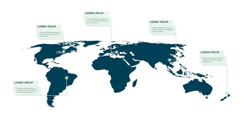 World map infographic. Callout, info text boxes vector illustration. World info-graphic data, presentation worldwide optionfavorite_border favorite
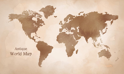 水彩 アンティーク世界地図 イラストfavorite_border favorite
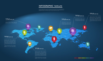 world map with abstract crystal pointers, infographic templatefavorite_border favorite
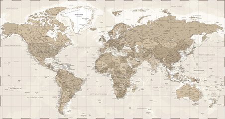 World Map - Vintage Retro Old Style - Vector Detailed Illustrationfavorite_border favorite
 wave paper curved reliefs abstract background, Abstract topographic contours map background, topography line map. Vintage outdoors style. World map Template. Stock vectorfavorite_border favorite
 Vector graphic artwork suitable for print and web containing flat detailed map of CZECH REPUBLICfavorite_border favorite
 Global curved World map. Blue Earth Planet background vector illustration.favorite_border favorite
 デジタルネットワークテクノロジー青色背景世界地図素材favorite_border favorite
 Isolated world map silhouette graphic in green, perfect for global and international themesfavorite_border favorite
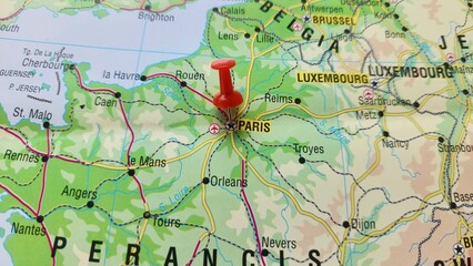 View of Paris, Capital city and largest city of France, on a geographical map of Europe, marked with red push pinfavorite_border favorite
 World Map Vector with Administrative Borders, Modern Pastel Global Silhouette for Creative Designap3.epsfavorite_border favorite
 modern dotted flat world map in circular pattern, transparent background for website or data designfavorite_border favorite
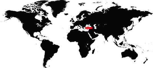 Turkey and Kosovo maps on a global map vectorfavorite_border favorite
 Professional workers and freelancers working together onlinefavorite_border favorite
 Flat design world map is showing nine colorful pins with icons on cloudy gradient backgroundfavorite_border favorite
 World map illustration featuring outlined continents in light gray over a dark background. Ideal for global, business, or educational stock applications.favorite_border favorite
 白バックの日本中心の世界地図favorite_border favorite
 Vector graphic artwork suitable for print and web containing flat detailed map of ERITREAfavorite_border favorite