-
Pictogram - World map, Line, Stroke, Dash, fine - Object, Icon, Symbol
Do ulubionych favorite_border
Usuń z ulubionych favorite
-
minimal seamless relief space area topography map white background. black spiral line wireframe isoline location diagram world map texture design.
Do ulubionych favorite_border
Usuń z ulubionych favorite
-
Cool blue world map for your website, app, blog, banner, template, and post. earth map png. blue planet. world continents.
Do ulubionych favorite_border
Usuń z ulubionych favorite
-
World map flat vector illustration concept
Do ulubionych favorite_border
Usuń z ulubionych favorite
-
simplified smooth rounded-corners white silhouette world map colorful abstract creative. elements of this image furnished by NASA
Do ulubionych favorite_border
Usuń z ulubionych favorite
-
Futuristic world map silhouette. Simple world map in good quality. Digital map template for business, media, foreign affairs, international relations. Technological background. Vector illustration of
Do ulubionych favorite_border
Usuń z ulubionych favorite
-
vector hand drawn outline of a world map. Continents drawing
Do ulubionych favorite_border
Usuń z ulubionych favorite
-
Do ulubionych favorite_border
Usuń z ulubionych favorite
-
vector illustartion of striped world map on blue background
Do ulubionych favorite_border
Usuń z ulubionych favorite
-
A stylized world map with varying land elevations, highlighting oceans, continents, and terrains
Do ulubionych favorite_border
Usuń z ulubionych favorite
-
8-bit pixel style Robinson projection world map
Do ulubionych favorite_border
Usuń z ulubionych favorite
-
Three versions of the World Map with the enlarged map of Thailand with flag.
Do ulubionych favorite_border
Usuń z ulubionych favorite
-
Large and detailed high resolution photo of the Earth. Texture of Earth's surface. Satellite image of planet Earth. Full world map.
Do ulubionych favorite_border
Usuń z ulubionych favorite
-
Do ulubionych favorite_border
Usuń z ulubionych favorite
-
Landmarks world map vector cartoon illustration. Cartoon globe vector illustration. landmarks, signs, animals of countries and continents. Abstract map for learning. Poster, picture, card
Do ulubionych favorite_border
Usuń z ulubionych favorite
-
World map isolated on white background. for website layouts, background, education, precise, customizable, Travel worldwide, map silhouette backdrop, earth geography, political, reports.
Do ulubionych favorite_border
Usuń z ulubionych favorite
-
World Map Pacific Centered Spot Green Colors
Do ulubionych favorite_border
Usuń z ulubionych favorite
-
World Map - Highly Detailed Vector Map of the World. Ideally for the Print Posters. Faded Blue White Colors
Do ulubionych favorite_border
Usuń z ulubionych favorite
-
Isolated decorative Earth globe centered on Africa and Europe, geography world atlas
Do ulubionych favorite_border
Usuń z ulubionych favorite
-
Collection of geography maps. Full big foldable world map with perspective view. Fold paper leaflet of topography map. GPS navigation icon sig. Vector illustration
Do ulubionych favorite_border
Usuń z ulubionych favorite
-
Curved world map silhouette with half globe blue Earth planet representing global business geography and international worldwide travel featuring all major continents in a modern vector infographic
Do ulubionych favorite_border
Usuń z ulubionych favorite
-
World map. Political map with countries names illustraterd on black grey background
Do ulubionych favorite_border
Usuń z ulubionych favorite
-
World map. Global network, pixel texture, earth background, abstract pattern
Do ulubionych favorite_border
Usuń z ulubionych favorite
-
Green factory print screen on wooden block on world map and green background for green economy to reduce carbon dioxide emission from Kyoto protocol within 2050 ,Sustainability environment concept.
Do ulubionych favorite_border
Usuń z ulubionych favorite
-
Do ulubionych favorite_border
Usuń z ulubionych favorite
-
Business partners shaking hands on green world map background
Do ulubionych favorite_border
Usuń z ulubionych favorite
-
Vector stylish outline of world map. Flat design of continents, monochrome map
Do ulubionych favorite_border
Usuń z ulubionych favorite
-
Mobile graph with calculator and pen document
Do ulubionych favorite_border
Usuń z ulubionych favorite
-
Do ulubionych favorite_border
Usuń z ulubionych favorite
-
Green World Map with Country Borders Vector Illustration, Detailed Global Political Map Isolated on White Background, Flat World Map Geography Design for Infographics
Do ulubionych favorite_border
Usuń z ulubionych favorite
-
Halftone world map with dot pattern, dotted globe continents graphic, black and white Earth planet
Do ulubionych favorite_border
Usuń z ulubionych favorite
-
world map with infography
Do ulubionych favorite_border
Usuń z ulubionych favorite
-
world map of Corona Virus COVID-19, blue background ver.1
Do ulubionych favorite_border
Usuń z ulubionych favorite
-
Abstract quantum big cloud global data network connection banner or header, circle fractals and world map for worldwide business and internet technology vector illustration in turquoise and purple
Do ulubionych favorite_border
Usuń z ulubionych favorite
-
Global business team standing in front of world map
Do ulubionych favorite_border
Usuń z ulubionych favorite
-
Digital Global Network Map: Blue World Map Showing Central Connections and Geographic Data Nodes
Do ulubionych favorite_border
Usuń z ulubionych favorite
-
Tectonic plate world map. Continental ocean Pacific, volcano lithosphere geography plates. vector illustration.
Do ulubionych favorite_border
Usuń z ulubionych favorite
-
World Map Political - vector illustration. Highly detailed map of the world: countries, cities, water objects
Do ulubionych favorite_border
Usuń z ulubionych favorite
-
Do ulubionych favorite_border
Usuń z ulubionych favorite
-
World night lights map. Panoramic image. Elements of this image are furnished by NASA
Do ulubionych favorite_border
Usuń z ulubionych favorite
-
World Map Outline – Black and White Dot and Line Style Vector Illustration
Do ulubionych favorite_border
Usuń z ulubionych favorite
-
A modern line shape world map showing every dotted world map border. Dotted world map style uses abstract mapping to represent countries in a simple dotted world map view. Line shape map
Do ulubionych favorite_border
Usuń z ulubionych favorite
-
Globe world map with continents, isolated rounded hemispheres of Earth digital dots set. Business or political worldwide display, monochrome countries. Vector in flat style
Do ulubionych favorite_border
Usuń z ulubionych favorite
-
Abstract illustrated world map for children, kids. Сartoon colorful vector illustration. People characters,funny detailed, animals characters and other elements cartoon poster
Do ulubionych favorite_border
Usuń z ulubionych favorite
-
Do ulubionych favorite_border
Usuń z ulubionych favorite
-
colorful hand drawn world map (vector)
Do ulubionych favorite_border
Usuń z ulubionych favorite
-
detailed vector world map. hi quality world map with country border and named.
Do ulubionych favorite_border
Usuń z ulubionych favorite
-
Weltkarte auf Deutsch - Vintage retro stil - Vektorisiert texte : länder, hauptstädte, inseln, meere...
Do ulubionych favorite_border
Usuń z ulubionych favorite
-
Reviewing colleagues wearing white shirt and dark sweater sharing laptop in glass office, world map
Do ulubionych favorite_border
Usuń z ulubionych favorite
-
Handdrawn international relationship icon set
Do ulubionych favorite_border
Usuń z ulubionych favorite
-
A geometric squire shape dotted world map showing all major continents including Australia, Europe, USA, Africa, Asia, Middle east. Realistic dotted world map feathering abstract country boundary
Do ulubionych favorite_border
Usuń z ulubionych favorite
-
Set of flat earth world maps with hexagonal dots in different resolution. Round pixel pattern. Modern digital globe. Black dots on white background. Worldmap template for website, infographics, design
Do ulubionych favorite_border
Usuń z ulubionych favorite
-
World map. Political maps of North and South America, Europe and Asia, Africa and Australia continents. Colorful world map countries and country names. Geography politics map.
Do ulubionych favorite_border
Usuń z ulubionych favorite
-
Planet Earth. The Earth, World Map on gray background. Vector illustration. EPS 10
Do ulubionych favorite_border
Usuń z ulubionych favorite
-
Animals world map for kids. Poster with cute vector animals in flat style. Cartoon doodle characters in scandinavian style for children - coloring page. Big coloring poster
Do ulubionych favorite_border
Usuń z ulubionych favorite
-
角丸正方形のドットでできた世界地図 太平洋中心 黒
Do ulubionych favorite_border
Usuń z ulubionych favorite
-
Curved World Map Vector, Globe Planet Concept Map For Website, Annual Report, Infographics, World Map Illustration, Vector Illustration
Do ulubionych favorite_border
Usuń z ulubionych favorite
-
World Map Physical - Vintage Retro Old Style - Vector Detailed Illustration
Do ulubionych favorite_border
Usuń z ulubionych favorite
-
Bulging smooth contour map of World
Do ulubionych favorite_border
Usuń z ulubionych favorite
-
Do ulubionych favorite_border
Usuń z ulubionych favorite
-
Colorful political world map with distinct country borders focusing on Europe Africa and Asia
Do ulubionych favorite_border
Usuń z ulubionych favorite
-
white topography map geography relief diagram texture design. Topography white background and black line world map texture design. Lines Topographic contour lines grid map seamless pattern.
Do ulubionych favorite_border
Usuń z ulubionych favorite
-
colorful world map showing labeled continents with simplified geographic layout on white background, vector
Do ulubionych favorite_border
Usuń z ulubionych favorite
-
Futuristic glowing world map network connection. 3D blue earth map background with plexus lines. Digital network for business concept. Big data stream technology, world data analytics background
Do ulubionych favorite_border
Usuń z ulubionych favorite
-
Do ulubionych favorite_border
Usuń z ulubionych favorite
-
planisfero astratto composto da colori
Do ulubionych favorite_border
Usuń z ulubionych favorite
-
world map lines, global world map halftone concept, vector illustration on grey background
Do ulubionych favorite_border
Usuń z ulubionych favorite
-
Do ulubionych favorite_border
Usuń z ulubionych favorite
-
Black silhouette of a world map showing continents and countries
Do ulubionych favorite_border
Usuń z ulubionych favorite
-
white Halloween design with world map 3d-illustration. Elements of this image furnished by NASA
Do ulubionych favorite_border
Usuń z ulubionych favorite
-
World map vector Robinson projection monochrome political puzzle graphic geometry silhouette shape national border design isolated transparent eps
Do ulubionych favorite_border
Usuń z ulubionych favorite
-
Abstract blue watercolor world map background with hand drawn clouds and artistic texture
Do ulubionych favorite_border
Usuń z ulubionych favorite
-
Political world map on white background, with every state labeled and selectable. Colored by continents. Versatile file, turn on an off visibility and color of each country in one click
Do ulubionych favorite_border
Usuń z ulubionych favorite
-
A high resolution squire shape dotted world map with minimal design. Perfect for showcasing worldwide data or geographic illustrations. Dotted squire shape world map feathering country boundary
Do ulubionych favorite_border
Usuń z ulubionych favorite
-
Abstract illustration of continents and countries of the world
Do ulubionych favorite_border
Usuń z ulubionych favorite
-
Abstract Blue Minimal Style Cloud Computing, Networks Structure, Telecommunications Concept Design, Network Connections, Transparent Geometric Mesh with World Map and Globe - Vector Illustration
Do ulubionych favorite_border
Usuń z ulubionych favorite
-
3D rendering planisphere on dark background
Do ulubionych favorite_border
Usuń z ulubionych favorite
-
Political Colored World Map Vector
Do ulubionych favorite_border
Usuń z ulubionych favorite
-
world map vector illustration
Do ulubionych favorite_border
Usuń z ulubionych favorite
-
Simplified world vector map with square dot grid (APAC view, Miller cylindrical projection, PPT-compatible & fully editable)
Do ulubionych favorite_border
Usuń z ulubionych favorite
-
Children's hands exploring a colorful world map. Kids pointing at continents like Africa, Europe, and Asia. Educational map for children learning geography. Geography class in school with map.
Do ulubionych favorite_border
Usuń z ulubionych favorite
-
continuous single line drawing of simplified world map, line art vector illustration
Do ulubionych favorite_border
Usuń z ulubionych favorite
-
Vector map of the world with countries in the form of national flags
Do ulubionych favorite_border
Usuń z ulubionych favorite
-
Map of World. Mercator projection. High detailed political map of countries and dependent territories. Simple flat vector illustration
Do ulubionych favorite_border
Usuń z ulubionych favorite
-
Vintage world map on old parchment paper with compass roses, perfect for adventure, travel, and exploration themes and backgrounds
Do ulubionych favorite_border
Usuń z ulubionych favorite
-
A detailed watercolor blue world map with country names and borders. Soft shades of blue blend artistically, creating a stylish, modern look. Ideal for posters, prints, travel designs, and educational
Do ulubionych favorite_border
Usuń z ulubionych favorite
-
Colourful Illustration of a world map showing country names, State names (USA, Canada & Australia), capital cities, major lakes and oceans. Print at no less than 36". Jpeg - no need for vector program
Do ulubionych favorite_border
Usuń z ulubionych favorite
-
Do ulubionych favorite_border
Usuń z ulubionych favorite
-
Political simple world map Equirectangular projection
Do ulubionych favorite_border
Usuń z ulubionych favorite
-
Do ulubionych favorite_border
Usuń z ulubionych favorite
-
A grayscale world map illustration showing continents and oceans in silhouette
Do ulubionych favorite_border
Usuń z ulubionych favorite
-
A 3D illustration of a world map with dots and nets, presented in a glowing hologram abstract molecule stylized form and isolated on a transparent background in PNG format, perfect for use as a design
Do ulubionych favorite_border
Usuń z ulubionych favorite
-
Do ulubionych favorite_border
Usuń z ulubionych favorite
-
Global network mesh. Earth map. World map Network
Do ulubionych favorite_border
Usuń z ulubionych favorite
-
Abstract image World map from point Gray and glowing stars on a dark background. Vector illustration eps 10.
Do ulubionych favorite_border
Usuń z ulubionych favorite
-
Mapa świata drewniana z napisem
Do ulubionych favorite_border
Usuń z ulubionych favorite
-
World map burning in blazing fire and flames 3D Rendering
Do ulubionych favorite_border
Usuń z ulubionych favorite
-
World Map and Flags - borders, countries and cities - vintage illustration
Do ulubionych favorite_border
Usuń z ulubionych favorite
-
World map in polygonal style. Bogg's interrupted eumorphic projection of the world. Grey Shades colored polygons. Amazing vector illustration.
Do ulubionych favorite_border
Usuń z ulubionych favorite
-
Grand world map graphic element vector illustration.
Do ulubionych favorite_border
Usuń z ulubionych favorite
 Pictogram - World map, Line, Stroke, Dash, fine - Object, Icon, Symbolfavorite_border favorite
 minimal seamless relief space area topography map white background. black spiral line wireframe isoline location diagram world map texture design.favorite_border favorite
 Cool blue world map for your website, app, blog, banner, template, and post. earth map png. blue planet. world continents.favorite_border favorite
 World map flat vector illustration conceptfavorite_border favorite
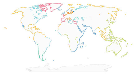 simplified smooth rounded-corners white silhouette world map colorful abstract creative. elements of this image furnished by NASAfavorite_border favorite
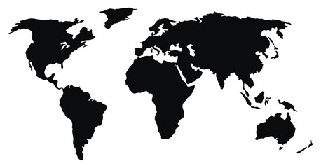 Futuristic world map silhouette. Simple world map in good quality. Digital map template for business, media, foreign affairs, international relations. Technological background. Vector illustration offavorite_border favorite
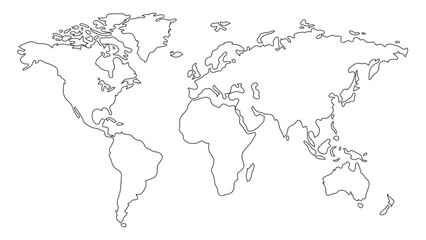 vector hand drawn outline of a world map. Continents drawingfavorite_border favorite
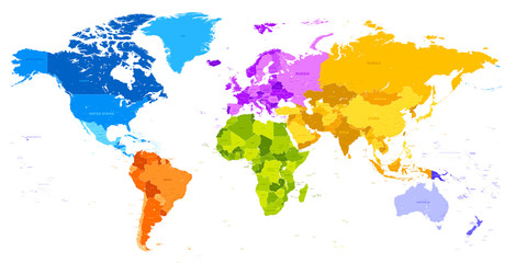 Vibrant Colors world mapfavorite_border favorite
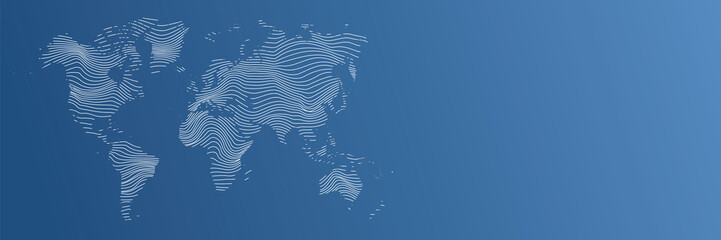 vector illustartion of striped world map on blue backgroundfavorite_border favorite
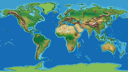 A stylized world map with varying land elevations, highlighting oceans, continents, and terrainsfavorite_border favorite
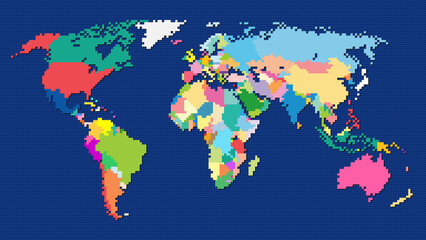 8-bit pixel style Robinson projection world mapfavorite_border favorite
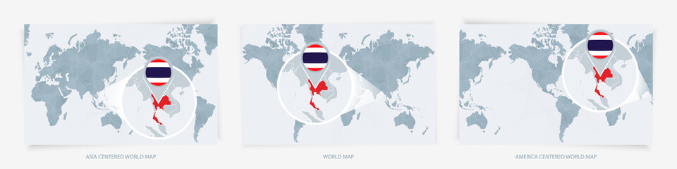 Three versions of the World Map with the enlarged map of Thailand with flag.favorite_border favorite
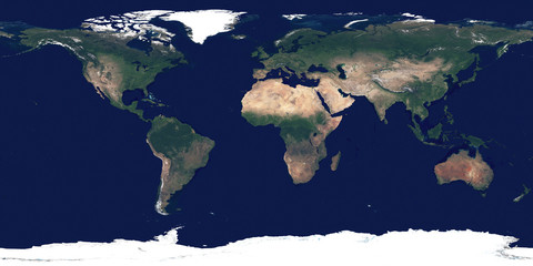 Large and detailed high resolution photo of the Earth. Texture of Earth's surface. Satellite image of planet Earth. Full world map.favorite_border favorite
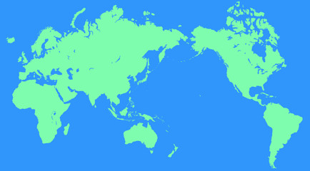 世界地図favorite_border favorite
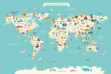 Landmarks world map vector cartoon illustration. Cartoon globe vector illustration. landmarks, signs, animals of countries and continents. Abstract map for learning. Poster, picture, cardfavorite_border favorite
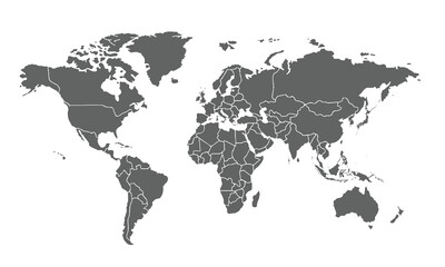 World map isolated on white background. for website layouts, background, education, precise, customizable, Travel worldwide, map silhouette backdrop, earth geography, political, reports.favorite_border favorite
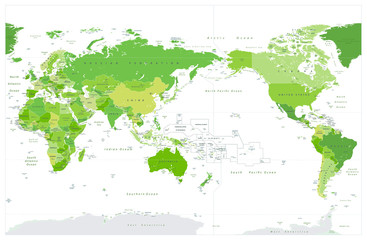 World Map Pacific Centered Spot Green Colorsfavorite_border favorite
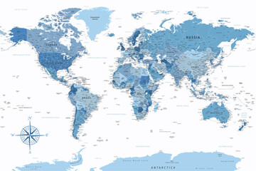 World Map - Highly Detailed Vector Map of the World. Ideally for the Print Posters. Faded Blue White Colorsfavorite_border favorite
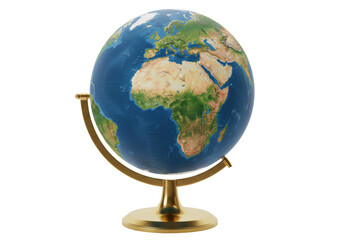 Isolated decorative Earth globe centered on Africa and Europe, geography world atlasfavorite_border favorite
 Collection of geography maps. Full big foldable world map with perspective view. Fold paper leaflet of topography map. GPS navigation icon sig. Vector illustrationfavorite_border favorite
 Curved world map silhouette with half globe blue Earth planet representing global business geography and international worldwide travel featuring all major continents in a modern vector infographicfavorite_border favorite
 World map. Political map with countries names illustraterd on black grey backgroundfavorite_border favorite
 World map. Global network, pixel texture, earth background, abstract patternfavorite_border favorite
 Green factory print screen on wooden block on world map and green background for green economy to reduce carbon dioxide emission from Kyoto protocol within 2050 ,Sustainability environment concept.favorite_border favorite
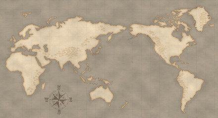 アンティーク風な世界地図favorite_border favorite
 Business partners shaking hands on green world map backgroundfavorite_border favorite
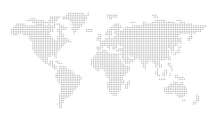 Vector stylish outline of world map. Flat design of continents, monochrome mapfavorite_border favorite
 Mobile graph with calculator and pen documentfavorite_border favorite
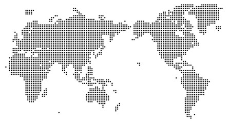 四角いドットで構成された世界地図-白黒色favorite_border favorite
 Green World Map with Country Borders Vector Illustration, Detailed Global Political Map Isolated on White Background, Flat World Map Geography Design for Infographicsfavorite_border favorite
 Halftone world map with dot pattern, dotted globe continents graphic, black and white Earth planetfavorite_border favorite
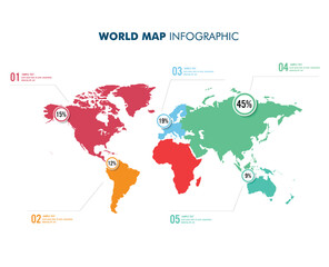 world map with infographyfavorite_border favorite
 world map of Corona Virus COVID-19, blue background ver.1favorite_border favorite
 Abstract quantum big cloud global data network connection banner or header, circle fractals and world map for worldwide business and internet technology vector illustration in turquoise and purplefavorite_border favorite
 Global business team standing in front of world mapfavorite_border favorite
 Digital Global Network Map: Blue World Map Showing Central Connections and Geographic Data Nodesfavorite_border favorite
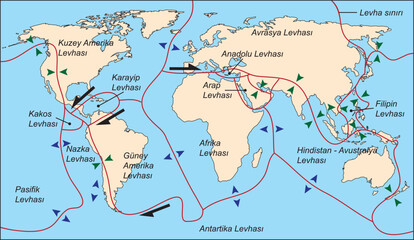 Tectonic plate world map. Continental ocean Pacific, volcano lithosphere geography plates. vector illustration.favorite_border favorite
 World Map Political - vector illustration. Highly detailed map of the world: countries, cities, water objectsfavorite_border favorite
 世界地図 ネットワークイメージ ベクター素材favorite_border favorite
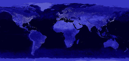 World night lights map. Panoramic image. Elements of this image are furnished by NASAfavorite_border favorite
 World Map Outline – Black and White Dot and Line Style Vector Illustrationfavorite_border favorite
 A modern line shape world map showing every dotted world map border. Dotted world map style uses abstract mapping to represent countries in a simple dotted world map view. Line shape mapfavorite_border favorite
 Globe world map with continents, isolated rounded hemispheres of Earth digital dots set. Business or political worldwide display, monochrome countries. Vector in flat stylefavorite_border favorite
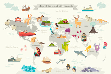 Abstract illustrated world map for children, kids. Сartoon colorful vector illustration. People characters,funny detailed, animals characters and other elements cartoon posterfavorite_border favorite
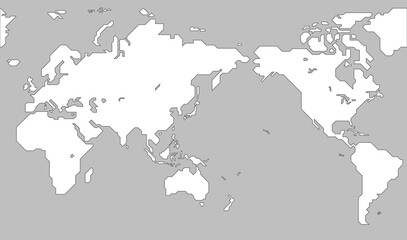 世界地図(簡略化されたアウトラインの世界地図)favorite_border favorite
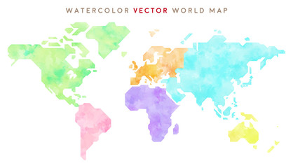 colorful hand drawn world map (vector)favorite_border favorite
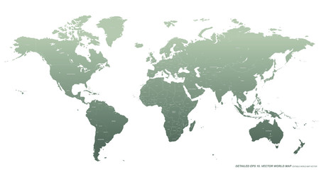 detailed vector world map. hi quality world map with country border and named.favorite_border favorite
 Weltkarte auf Deutsch - Vintage retro stil - Vektorisiert texte : länder, hauptstädte, inseln, meere...favorite_border favorite
 Reviewing colleagues wearing white shirt and dark sweater sharing laptop in glass office, world mapfavorite_border favorite
 Handdrawn international relationship icon setfavorite_border favorite
 A geometric squire shape dotted world map showing all major continents including Australia, Europe, USA, Africa, Asia, Middle east. Realistic dotted world map feathering abstract country boundaryfavorite_border favorite
 Set of flat earth world maps with hexagonal dots in different resolution. Round pixel pattern. Modern digital globe. Black dots on white background. Worldmap template for website, infographics, designfavorite_border favorite
 World map. Political maps of North and South America, Europe and Asia, Africa and Australia continents. Colorful world map countries and country names. Geography politics map.favorite_border favorite
 Planet Earth. The Earth, World Map on gray background. Vector illustration. EPS 10favorite_border favorite
 Animals world map for kids. Poster with cute vector animals in flat style. Cartoon doodle characters in scandinavian style for children - coloring page. Big coloring posterfavorite_border favorite
 角丸正方形のドットでできた世界地図 太平洋中心 黒favorite_border favorite
 Curved World Map Vector, Globe Planet Concept Map For Website, Annual Report, Infographics, World Map Illustration, Vector Illustrationfavorite_border favorite
 World Map Physical - Vintage Retro Old Style - Vector Detailed Illustrationfavorite_border favorite
 Bulging smooth contour map of Worldfavorite_border favorite
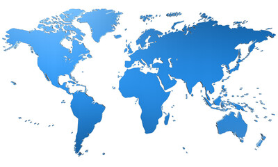 mapa świata - Ziemiafavorite_border favorite
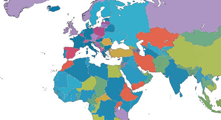 Colorful political world map with distinct country borders focusing on Europe Africa and Asiafavorite_border favorite
 white topography map geography relief diagram texture design. Topography white background and black line world map texture design. Lines Topographic contour lines grid map seamless pattern.favorite_border favorite
 colorful world map showing labeled continents with simplified geographic layout on white background, vectorfavorite_border favorite
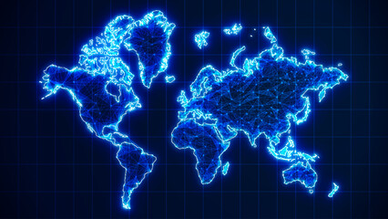 Futuristic glowing world map network connection. 3D blue earth map background with plexus lines. Digital network for business concept. Big data stream technology, world data analytics backgroundfavorite_border favorite
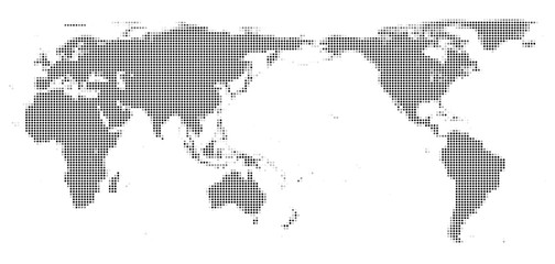 世界地図、ドットfavorite_border favorite
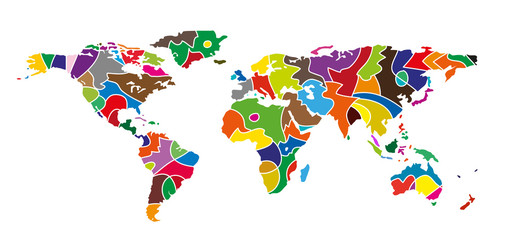 planisfero astratto composto da colorifavorite_border favorite
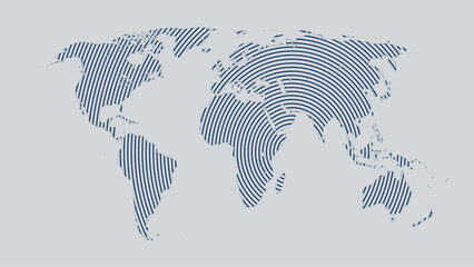 world map lines, global world map halftone concept, vector illustration on grey backgroundfavorite_border favorite
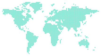 원형 도트 모자이크 표현 세계지도favorite_border favorite
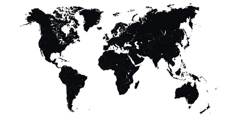 Black silhouette of a world map showing continents and countriesfavorite_border favorite
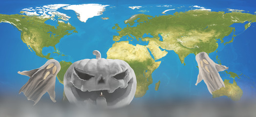 white Halloween design with world map 3d-illustration. Elements of this image furnished by NASAfavorite_border favorite
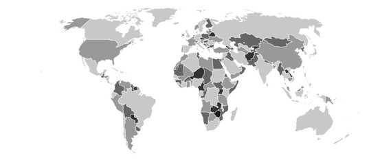 World map vector Robinson projection monochrome political puzzle graphic geometry silhouette shape national border design isolated transparent epsfavorite_border favorite
 Abstract blue watercolor world map background with hand drawn clouds and artistic texturefavorite_border favorite
 Political world map on white background, with every state labeled and selectable. Colored by continents. Versatile file, turn on an off visibility and color of each country in one clickfavorite_border favorite
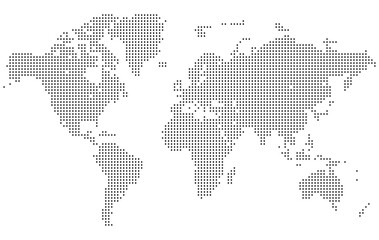 A high resolution squire shape dotted world map with minimal design. Perfect for showcasing worldwide data or geographic illustrations. Dotted squire shape world map feathering country boundaryfavorite_border favorite
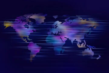 Abstract illustration of continents and countries of the worldfavorite_border favorite
 Abstract Blue Minimal Style Cloud Computing, Networks Structure, Telecommunications Concept Design, Network Connections, Transparent Geometric Mesh with World Map and Globe - Vector Illustrationfavorite_border favorite
 3D rendering planisphere on dark backgroundfavorite_border favorite
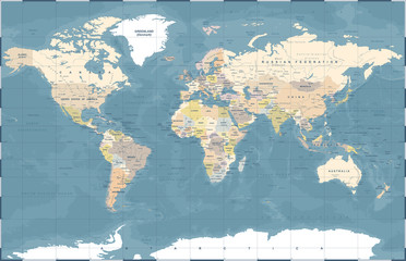 Political Colored World Map Vectorfavorite_border favorite
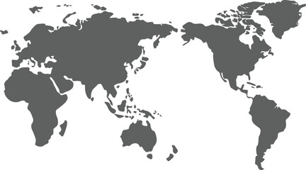 world map vector illustrationfavorite_border favorite
 Simplified world vector map with square dot grid (APAC view, Miller cylindrical projection, PPT-compatible & fully editable)favorite_border favorite
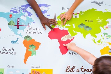 Children's hands exploring a colorful world map. Kids pointing at continents like Africa, Europe, and Asia. Educational map for children learning geography. Geography class in school with map.favorite_border favorite
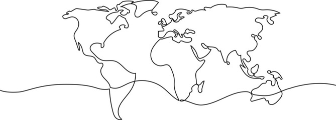 continuous single line drawing of simplified world map, line art vector illustrationfavorite_border favorite
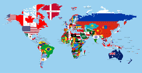 Vector map of the world with countries in the form of national flagsfavorite_border favorite
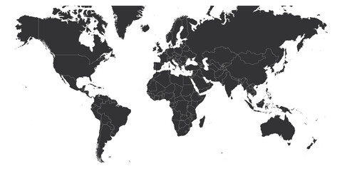 Map of World. Mercator projection. High detailed political map of countries and dependent territories. Simple flat vector illustrationfavorite_border favorite
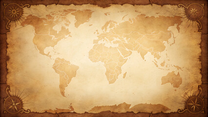 Vintage world map on old parchment paper with compass roses, perfect for adventure, travel, and exploration themes and backgroundsfavorite_border favorite
 A detailed watercolor blue world map with country names and borders. Soft shades of blue blend artistically, creating a stylish, modern look. Ideal for posters, prints, travel designs, and educationalfavorite_border favorite
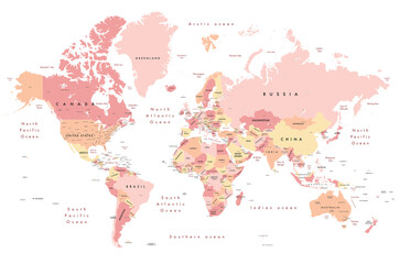 Colourful Illustration of a world map showing country names, State names (USA, Canada & Australia), capital cities, major lakes and oceans. Print at no less than 36". Jpeg - no need for vector programfavorite_border favorite
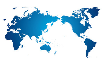 世界地図 高画質ベクターfavorite_border favorite
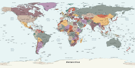 Political simple world map Equirectangular projectionfavorite_border favorite
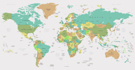 map of the worldfavorite_border favorite
 A grayscale world map illustration showing continents and oceans in silhouettefavorite_border favorite
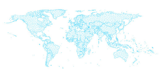 A 3D illustration of a world map with dots and nets, presented in a glowing hologram abstract molecule stylized form and isolated on a transparent background in PNG format, perfect for use as a designfavorite_border favorite
 日本中心の世界地図favorite_border favorite
 Global network mesh. Earth map. World map Networkfavorite_border favorite
 Abstract image World map from point Gray and glowing stars on a dark background. Vector illustration eps 10.favorite_border favorite
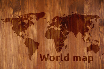 Mapa świata drewniana z napisemfavorite_border favorite
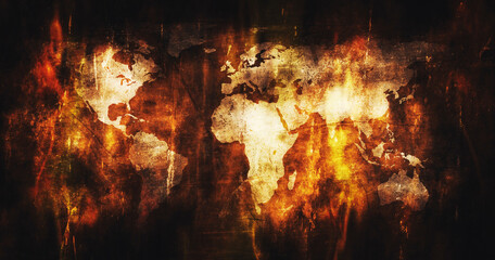 World map burning in blazing fire and flames 3D Renderingfavorite_border favorite
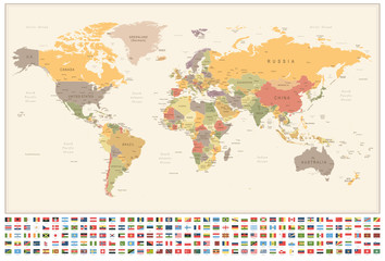 World Map and Flags - borders, countries and cities - vintage illustrationfavorite_border favorite
 World map in polygonal style. Bogg's interrupted eumorphic projection of the world. Grey Shades colored polygons. Amazing vector illustration.favorite_border favorite
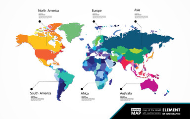 Grand world map graphic element vector illustration.favorite_border favorite