-
Colorful World Map Vector Illustration with Distinctly Colored Continents Isolated on White Background
Do ulubionych favorite_border
Usuń z ulubionych favorite
-
Do ulubionych favorite_border
Usuń z ulubionych favorite
-
Textured vintage world map - English/US Labels - Vector CMYK
Do ulubionych favorite_border
Usuń z ulubionych favorite
-
Do ulubionych favorite_border
Usuń z ulubionych favorite
-
Blue vintage world map illustration based on image furnished by NASA
Do ulubionych favorite_border
Usuń z ulubionych favorite
-
World map on blue background
Do ulubionych favorite_border
Usuń z ulubionych favorite
-
Detailed world map grey vector illustration
Do ulubionych favorite_border
Usuń z ulubionych favorite
-
Animals world map. Beautiful cheerful colorful vector illustration for children and kids. With the inscription of the oceans and continents. Preschool, baby, continents, oceans, drawn, Earth
Do ulubionych favorite_border
Usuń z ulubionych favorite
-
Stars Dotted World Map Representation
Do ulubionych favorite_border
Usuń z ulubionych favorite
-
White world map on grey background. High detail political map with country names. Vector Illustration.
Do ulubionych favorite_border
Usuń z ulubionych favorite
-
Highly detailed political world map
Do ulubionych favorite_border
Usuń z ulubionych favorite
-
world map made with dots and lines
Do ulubionych favorite_border
Usuń z ulubionych favorite
-
World Map - highly detailed vector illustration.
Do ulubionych favorite_border
Usuń z ulubionych favorite
-
Global analysis man examining the world with magnifying glass
Do ulubionych favorite_border
Usuń z ulubionych favorite
-
World map vector collection, black silhouette earth globes and cartography projections, set of 6 minimalist global geography icons for infographics
Do ulubionych favorite_border
Usuń z ulubionych favorite
-
World Map vector. Gray similar world map blank vector on transparent background. Gray similar world map with borders of all countries and States of USA map. High quality world map. EPS10.
Do ulubionych favorite_border
Usuń z ulubionych favorite
-
世界地図国名海名入り Vector of world map
Do ulubionych favorite_border
Usuń z ulubionych favorite
-
Set of flat earth world maps with dots in different resolution. Round pixel pattern. Modern digital globe. Black dots on white background. Worldmap template for website, infographics, design.
Do ulubionych favorite_border
Usuń z ulubionych favorite
-
Digital Dotted World Map with Glowing Blue Lights. Global Network and Technology Background.
Do ulubionych favorite_border
Usuń z ulubionych favorite
-
Worldwide map with dots in flat style. Dotted world map vector illustration on isolated background. Continent cartography sign business concept.
Do ulubionych favorite_border
Usuń z ulubionych favorite
-
Wireless communication smart city and network technology of the world.
Do ulubionych favorite_border
Usuń z ulubionych favorite
-
Abstract black blank silhouette of world map isolated on white background. Vector illustration
Do ulubionych favorite_border
Usuń z ulubionych favorite
-
Do ulubionych favorite_border
Usuń z ulubionych favorite
-
Political map of the world vector
Do ulubionych favorite_border
Usuń z ulubionych favorite
-
World map vector grey isolated on white background. Flat Earth, Globe world map icon. Travel worldwide eps 10
Do ulubionych favorite_border
Usuń z ulubionych favorite
-
World map with country flags, educational geography poster, travel-themed wall art, kids room decor, global nations, illustrated, colorful, informative
Do ulubionych favorite_border
Usuń z ulubionych favorite
-
Watercolor world map in green isolated with transparency
Do ulubionych favorite_border
Usuń z ulubionych favorite
-
World Map vector. Detailed illustration of worldmap
Do ulubionych favorite_border
Usuń z ulubionych favorite
-
World map silhouette, gray and white, flat design, world map template, vector illustration.
Do ulubionych favorite_border
Usuń z ulubionych favorite
-
Color world map with the names of countries and national flags. Political map. Every country is isolated.
Do ulubionych favorite_border
Usuń z ulubionych favorite
-
Detailed world map with borders of states. Isolated world map. Isolated on white background. Vector illustration
Do ulubionych favorite_border
Usuń z ulubionych favorite
-
Dotted world map .World map of squares. Simple flat vector illustration. Abstract world map consisting of black dots circles
Do ulubionych favorite_border
Usuń z ulubionych favorite
-
World Map Political and Flags - Vector Detailed Illustration
Do ulubionych favorite_border
Usuń z ulubionych favorite
-
flight line paths going across blue world map, flying white airplanes routes vector illustration
Do ulubionych favorite_border
Usuń z ulubionych favorite
-
Do ulubionych favorite_border
Usuń z ulubionych favorite
-
black halftone dotted world map illustration vector
Do ulubionych favorite_border
Usuń z ulubionych favorite
-
Do ulubionych favorite_border
Usuń z ulubionych favorite
-
World map grey illustration high details
Do ulubionych favorite_border
Usuń z ulubionych favorite
-
World map vector with country borders shaded monochrome continents global data visualization background
Do ulubionych favorite_border
Usuń z ulubionych favorite
-
planet earth icon on white background
Do ulubionych favorite_border
Usuń z ulubionych favorite
-
Colorful Vector world map
Do ulubionych favorite_border
Usuń z ulubionych favorite
-
Einfach Weltkarte aus Punkten in hellgrau
Do ulubionych favorite_border
Usuń z ulubionych favorite
-
Detailed map of the world with the borders and flags of states on a blue background
Do ulubionych favorite_border
Usuń z ulubionych favorite
-
Digital world map of glowing dots on a dark blue background. Futuristic technology concept for global data and communication. Backdrop for tech presentations and infographics. Vector illustration.
Do ulubionych favorite_border
Usuń z ulubionych favorite
-
Do ulubionych favorite_border
Usuń z ulubionych favorite
-
2 World map on white background . vector map black and grey map illustration
Do ulubionych favorite_border
Usuń z ulubionych favorite
-
Do ulubionych favorite_border
Usuń z ulubionych favorite
-
Do ulubionych favorite_border
Usuń z ulubionych favorite
-
World map projection is showing continents, oceans, ice caps in flat design, transparent background
Do ulubionych favorite_border
Usuń z ulubionych favorite
-
World map grey and white with cities and countries Vector illustration
Do ulubionych favorite_border
Usuń z ulubionych favorite
-
The Earth, World Map on white background. Antarctica. Vector illustration
Do ulubionych favorite_border
Usuń z ulubionych favorite
-
Abstract world map composed of numerous small dark dots on a clean white background
Do ulubionych favorite_border
Usuń z ulubionych favorite
-
Political Vintage Golden World Map Vector
Do ulubionych favorite_border
Usuń z ulubionych favorite
-
Map of World in shades of blue. High detail political map with country names. Vector illustration
Do ulubionych favorite_border
Usuń z ulubionych favorite
-
World map. Square dots. Vector illustration.
Do ulubionych favorite_border
Usuń z ulubionych favorite
-
Do ulubionych favorite_border
Usuń z ulubionych favorite
-
World map with marked countries, capital, border. high quality world map vector.
Do ulubionych favorite_border
Usuń z ulubionych favorite
-
World map on transparent background. World map template with continents, North and South America, Europe and Asia, Africa and Australia
Do ulubionych favorite_border
Usuń z ulubionych favorite
-
World map. Hand drawn simple stylized continents silhouette in minimal line outline thin shape. Vector Illustration.
Do ulubionych favorite_border
Usuń z ulubionych favorite
-
World Map – Global Countries Outline Vector
Do ulubionych favorite_border
Usuń z ulubionych favorite
-
World Map With Country Names. Detailed Outline Political World Map Vector Illustration.
Do ulubionych favorite_border
Usuń z ulubionych favorite
-
World map infographic template. 3d isometric. Vector
Do ulubionych favorite_border
Usuń z ulubionych favorite
-
World map isolated on white background
Do ulubionych favorite_border
Usuń z ulubionych favorite
-
Futuristic digital world map of glowing blue dots or pixels across continents. Global connectivity with big data. Design for your UI backgrounds or FinTech projects. Vector illustration.
Do ulubionych favorite_border
Usuń z ulubionych favorite
-
World Map with Curved Horizon earth continents
Do ulubionych favorite_border
Usuń z ulubionych favorite
-
Dotted vector world map made with tiny circles to build a pixelated globe. Dotted world map aesthetic balances design and function for universal dotted world map relevance
Do ulubionych favorite_border
Usuń z ulubionych favorite
-
World map in satellite photo, Earth flat view from space. Elements of this image furnished by NASA.
Do ulubionych favorite_border
Usuń z ulubionych favorite
-
vector political dark grey world map
Do ulubionych favorite_border
Usuń z ulubionych favorite
-
Image of world map and financial data processing over cityscape
Do ulubionych favorite_border
Usuń z ulubionych favorite
-
Do ulubionych favorite_border
Usuń z ulubionych favorite
-
Colored world map. Political maps, colourful world countries and country names. Geography politics map, world land atlas or planet cartography vector illustration
Do ulubionych favorite_border
Usuń z ulubionych favorite
-
Vector world map with pointers
Do ulubionych favorite_border
Usuń z ulubionych favorite
-
World Map - Physical Topographic - Vector Detailed Illustration
Do ulubionych favorite_border
Usuń z ulubionych favorite
-
Dotted map of World. Small black dots on white background
Do ulubionych favorite_border
Usuń z ulubionych favorite
-
Highly detailed world map with labeling. Grayscale vector illustration.
Do ulubionych favorite_border
Usuń z ulubionych favorite
-
Countries of the world, multi colored political map, with international borders, main oceans, largest lakes and seas. Cylindrical projection. English labeling. Isolated illustration over white. Vector
Do ulubionych favorite_border
Usuń z ulubionych favorite
-
World Map vector. Detailed illustration of worldmap
Do ulubionych favorite_border
Usuń z ulubionych favorite
-
World map point and line composition concept of global business. Global network connection. Vector Illustration Free Vector
Do ulubionych favorite_border
Usuń z ulubionych favorite
-
World map vector illustrations.
Do ulubionych favorite_border
Usuń z ulubionych favorite
-
Dotted world map illustration, curved global perspective, minimalist black dot design, geographic data visualization, flat vector artwork
Do ulubionych favorite_border
Usuń z ulubionych favorite
-
Engineer, people and hands with world map on screen for turbine location, power development and data analysis. Interactive display, teamwork and employee pointing to chart area for site selection
Do ulubionych favorite_border
Usuń z ulubionych favorite
-
World map made of small dark dots on a white background representing global connections and data visualization
Do ulubionych favorite_border
Usuń z ulubionych favorite
-
The world map with cartoon animals for kids, nature, discovery and continent name, ocean name, countries name. vector Illustration.
Do ulubionych favorite_border
Usuń z ulubionych favorite
-
World map on white background. World map template with continents, North and South America, Europe and Asia, Africa and Australia
Do ulubionych favorite_border
Usuń z ulubionych favorite
-
World map with country borders. Triangle vector illustration for decoration, global, international business, travel, web design, media, infographics. Gray background
Do ulubionych favorite_border
Usuń z ulubionych favorite
-
Do ulubionych favorite_border
Usuń z ulubionych favorite
-
Gray simplified world map (Europe and Africa centered)
Do ulubionych favorite_border
Usuń z ulubionych favorite
-
Rounded globe with continents and countries. Isolated world map with grained texture. Traveling and business infographics background. Vector in flat style
Do ulubionych favorite_border
Usuń z ulubionych favorite
-
Abstract dotted world map globe representation with fading dots on white background
Do ulubionych favorite_border
Usuń z ulubionych favorite
-
Vector map of the world in pastel colors with the country of Pakistan highlighted highlighted in orange.
Do ulubionych favorite_border
Usuń z ulubionych favorite
-
Dotted World map of square dots
Do ulubionych favorite_border
Usuń z ulubionych favorite
-
World Map vector. Blue similar world map blank vector on white background. Blue similar world map with borders of all countries, States of USA map, Provinces and territories of Canada and States and
Do ulubionych favorite_border
Usuń z ulubionych favorite
-
World Map Political - vector illustration. Highly detailed map of the world: countries, cities, water objects
Do ulubionych favorite_border
Usuń z ulubionych favorite
-
World map with network connections and circuit board patterns overlaid on a gradient background
Do ulubionych favorite_border
Usuń z ulubionych favorite
-
Do ulubionych favorite_border
Usuń z ulubionych favorite
-
Global network technology background with world map or social media communication internet network Connection vector design...
Do ulubionych favorite_border
Usuń z ulubionych favorite
-
Isolated Continental Vector World Map.
Do ulubionych favorite_border
Usuń z ulubionych favorite
-
Abstract world map composed of black dots on a white background representing global connections and data
Do ulubionych favorite_border
Usuń z ulubionych favorite
-
Vector World Map Illustration with Global Country Borders and Geographical Outlines for International Concepts
Do ulubionych favorite_border
Usuń z ulubionych favorite
-
world map - Colourful Illustration in pastel blues and greens, showing country names, State names (USA & Australia), capital cities, major lakes and oceans. Print at no less than 36". Jpeg image
Do ulubionych favorite_border
Usuń z ulubionych favorite
 Colorful World Map Vector Illustration with Distinctly Colored Continents Isolated on White Backgroundfavorite_border favorite
 世界地図 緑favorite_border favorite
 Textured vintage world map - English/US Labels - Vector CMYKfavorite_border favorite
 世界地図 色分け 国名 ベクター イラストfavorite_border favorite
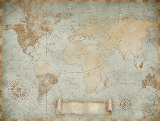 Blue vintage world map illustration based on image furnished by NASAfavorite_border favorite
 World map on blue backgroundfavorite_border favorite
 Detailed world map grey vector illustrationfavorite_border favorite
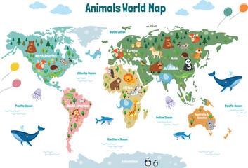 Animals world map. Beautiful cheerful colorful vector illustration for children and kids. With the inscription of the oceans and continents. Preschool, baby, continents, oceans, drawn, Earthfavorite_border favorite
 Stars Dotted World Map Representationfavorite_border favorite
 White world map on grey background. High detail political map with country names. Vector Illustration.favorite_border favorite
 Highly detailed political world mapfavorite_border favorite
 world map made with dots and linesfavorite_border favorite
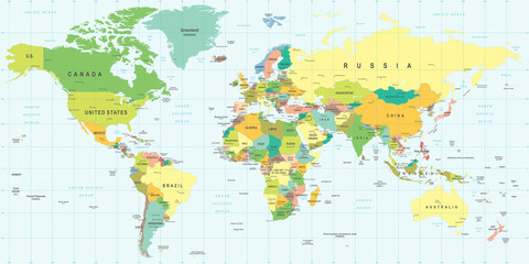 World Map - highly detailed vector illustration.favorite_border favorite
 Global analysis man examining the world with magnifying glassfavorite_border favorite
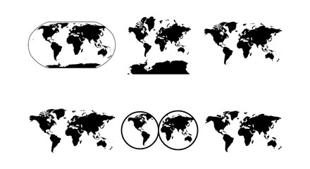 World map vector collection, black silhouette earth globes and cartography projections, set of 6 minimalist global geography icons for infographicsfavorite_border favorite
 World Map vector. Gray similar world map blank vector on transparent background. Gray similar world map with borders of all countries and States of USA map. High quality world map. EPS10.favorite_border favorite
 世界地図国名海名入り Vector of world mapfavorite_border favorite
 Set of flat earth world maps with dots in different resolution. Round pixel pattern. Modern digital globe. Black dots on white background. Worldmap template for website, infographics, design.favorite_border favorite
 Digital Dotted World Map with Glowing Blue Lights. Global Network and Technology Background.favorite_border favorite
 Worldwide map with dots in flat style. Dotted world map vector illustration on isolated background. Continent cartography sign business concept.favorite_border favorite
 Wireless communication smart city and network technology of the world.favorite_border favorite
 Abstract black blank silhouette of world map isolated on white background. Vector illustrationfavorite_border favorite
 Vector dotted world map.favorite_border favorite
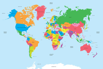 Political map of the world vectorfavorite_border favorite
 World map vector grey isolated on white background. Flat Earth, Globe world map icon. Travel worldwide eps 10favorite_border favorite
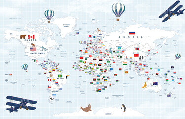 World map with country flags, educational geography poster, travel-themed wall art, kids room decor, global nations, illustrated, colorful, informativefavorite_border favorite
 Watercolor world map in green isolated with transparencyfavorite_border favorite
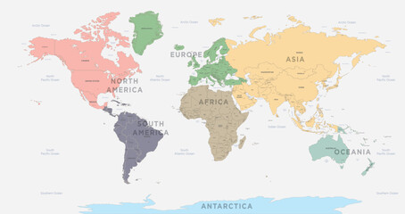 World Map vector. Detailed illustration of worldmapfavorite_border favorite
 World map silhouette, gray and white, flat design, world map template, vector illustration.favorite_border favorite
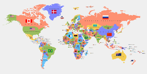 Color world map with the names of countries and national flags. Political map. Every country is isolated.favorite_border favorite
 Detailed world map with borders of states. Isolated world map. Isolated on white background. Vector illustrationfavorite_border favorite
 Dotted world map .World map of squares. Simple flat vector illustration. Abstract world map consisting of black dots circlesfavorite_border favorite
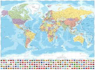 World Map Political and Flags - Vector Detailed Illustrationfavorite_border favorite
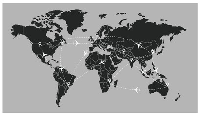 flight line paths going across blue world map, flying white airplanes routes vector illustrationfavorite_border favorite
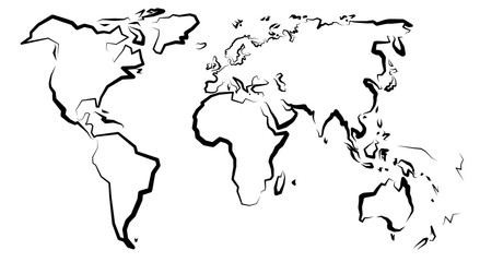 Mapa światafavorite_border favorite
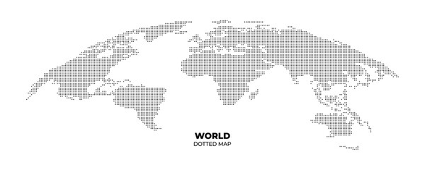 black halftone dotted world map illustration vectorfavorite_border favorite
 grey world mapfavorite_border favorite
 World map grey illustration high detailsfavorite_border favorite
 World map vector with country borders shaded monochrome continents global data visualization backgroundfavorite_border favorite
 planet earth icon on white backgroundfavorite_border favorite
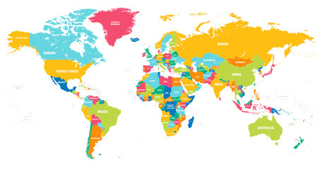 Colorful Vector world mapfavorite_border favorite
 Einfach Weltkarte aus Punkten in hellgraufavorite_border favorite
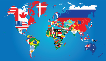 Detailed map of the world with the borders and flags of states on a blue backgroundfavorite_border favorite
 Digital world map of glowing dots on a dark blue background. Futuristic technology concept for global data and communication. Backdrop for tech presentations and infographics. Vector illustration.favorite_border favorite
 世界地図のシルエット(グレースケール)favorite_border favorite
 2 World map on white background . vector map black and grey map illustrationfavorite_border favorite
 モノクロのドットの世界地図(日本中心)favorite_border favorite
 Grey blank world map.favorite_border favorite
 World map projection is showing continents, oceans, ice caps in flat design, transparent backgroundfavorite_border favorite
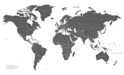 World map grey and white with cities and countries Vector illustrationfavorite_border favorite
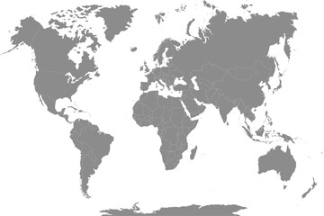 The Earth, World Map on white background. Antarctica. Vector illustrationfavorite_border favorite
 Abstract world map composed of numerous small dark dots on a clean white backgroundfavorite_border favorite
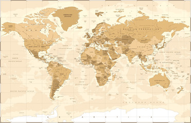 Political Vintage Golden World Map Vectorfavorite_border favorite
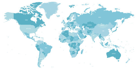 Map of World in shades of blue. High detail political map with country names. Vector illustrationfavorite_border favorite
 World map. Square dots. Vector illustration.favorite_border favorite
 World continent mapfavorite_border favorite
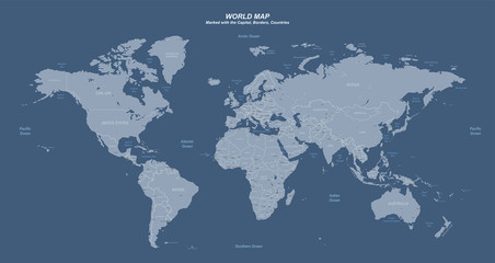 World map with marked countries, capital, border. high quality world map vector.favorite_border favorite
 World map on transparent background. World map template with continents, North and South America, Europe and Asia, Africa and Australiafavorite_border favorite
 World map. Hand drawn simple stylized continents silhouette in minimal line outline thin shape. Vector Illustration.favorite_border favorite
 World Map – Global Countries Outline Vectorfavorite_border favorite
 World Map With Country Names. Detailed Outline Political World Map Vector Illustration.favorite_border favorite
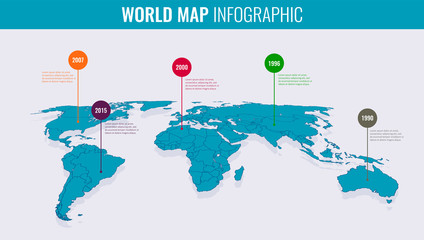 World map infographic template. 3d isometric. Vectorfavorite_border favorite
 World map isolated on white backgroundfavorite_border favorite
 Futuristic digital world map of glowing blue dots or pixels across continents. Global connectivity with big data. Design for your UI backgrounds or FinTech projects. Vector illustration.favorite_border favorite
 World Map with Curved Horizon earth continentsfavorite_border favorite
 Dotted vector world map made with tiny circles to build a pixelated globe. Dotted world map aesthetic balances design and function for universal dotted world map relevancefavorite_border favorite
 World map in satellite photo, Earth flat view from space. Elements of this image furnished by NASA.favorite_border favorite
 vector political dark grey world mapfavorite_border favorite
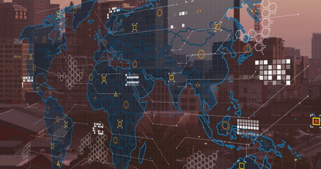 Image of world map and financial data processing over cityscapefavorite_border favorite
 ドットで描かれた世界地図(青・白背景)favorite_border favorite
 Colored world map. Political maps, colourful world countries and country names. Geography politics map, world land atlas or planet cartography vector illustrationfavorite_border favorite
 Vector world map with pointersfavorite_border favorite
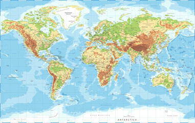 World Map - Physical Topographic - Vector Detailed Illustrationfavorite_border favorite
 Dotted map of World. Small black dots on white backgroundfavorite_border favorite
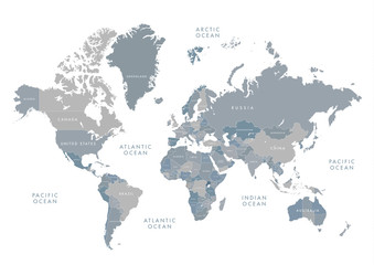 Highly detailed world map with labeling. Grayscale vector illustration.favorite_border favorite
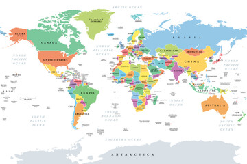 Countries of the world, multi colored political map, with international borders, main oceans, largest lakes and seas. Cylindrical projection. English labeling. Isolated illustration over white. Vectorfavorite_border favorite
 World Map vector. Detailed illustration of worldmapfavorite_border favorite
 World map point and line composition concept of global business. Global network connection. Vector Illustration Free Vectorfavorite_border favorite
 World map vector illustrations.favorite_border favorite
 Dotted world map illustration, curved global perspective, minimalist black dot design, geographic data visualization, flat vector artworkfavorite_border favorite
 Engineer, people and hands with world map on screen for turbine location, power development and data analysis. Interactive display, teamwork and employee pointing to chart area for site selectionfavorite_border favorite
 World map made of small dark dots on a white background representing global connections and data visualizationfavorite_border favorite
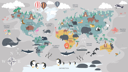 The world map with cartoon animals for kids, nature, discovery and continent name, ocean name, countries name. vector Illustration.favorite_border favorite
 World map on white background. World map template with continents, North and South America, Europe and Asia, Africa and Australiafavorite_border favorite
 World map with country borders. Triangle vector illustration for decoration, global, international business, travel, web design, media, infographics. Gray backgroundfavorite_border favorite
 Grey Vector world mapfavorite_border favorite
 Gray simplified world map (Europe and Africa centered)favorite_border favorite
 Rounded globe with continents and countries. Isolated world map with grained texture. Traveling and business infographics background. Vector in flat stylefavorite_border favorite
 Abstract dotted world map globe representation with fading dots on white backgroundfavorite_border favorite
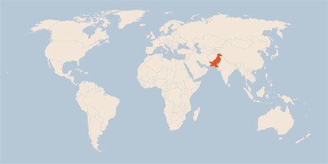 Vector map of the world in pastel colors with the country of Pakistan highlighted highlighted in orange.favorite_border favorite
 Dotted World map of square dotsfavorite_border favorite
 World Map vector. Blue similar world map blank vector on white background. Blue similar world map with borders of all countries, States of USA map, Provinces and territories of Canada and States andfavorite_border favorite
 World Map Political - vector illustration. Highly detailed map of the world: countries, cities, water objectsfavorite_border favorite
 World map with network connections and circuit board patterns overlaid on a gradient backgroundfavorite_border favorite
 World map.favorite_border favorite
 Global network technology background with world map or social media communication internet network Connection vector design...favorite_border favorite
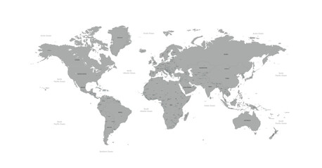 Isolated Continental Vector World Map.favorite_border favorite
 Abstract world map composed of black dots on a white background representing global connections and datafavorite_border favorite
 Vector World Map Illustration with Global Country Borders and Geographical Outlines for International Conceptsfavorite_border favorite
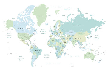 world map - Colourful Illustration in pastel blues and greens, showing country names, State names (USA & Australia), capital cities, major lakes and oceans. Print at no less than 36". Jpeg imagefavorite_border favorite