-
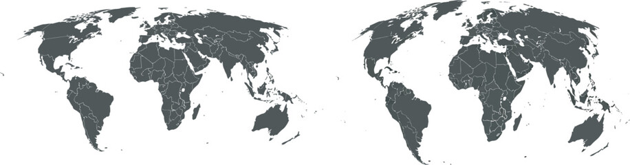
Vector World Map Illustration with Global Country Borders and Geographical Outlines for International Concepts
Do ulubionych favorite_border
Usuń z ulubionych favorite
-
world map - Colourful Illustration in pastel blues and greens, showing country names, State names (USA & Australia), capital cities, major lakes and oceans. Print at no less than 36". Jpeg image
Do ulubionych favorite_border
Usuń z ulubionych favorite
-
Tourist Planning tour using world map.
Do ulubionych favorite_border
Usuń z ulubionych favorite
-
Square shape dotted world map with halftone pixel style continents and countries. Vector world map with square dot shape pattern. Digital world map square shape pattern infographic world atlas design
Do ulubionych favorite_border
Usuń z ulubionych favorite
-
3d silhouette of a global world map, sphere with continents and islands of the world monochrome vector illustration
Do ulubionych favorite_border
Usuń z ulubionych favorite
-
World vector map. Earth planet simple stylized continents silhouette, minimal simplified line contour.
Do ulubionych favorite_border
Usuń z ulubionych favorite
-
world map made of colorful splashes
Do ulubionych favorite_border
Usuń z ulubionych favorite
-
Minimalist World Map Set for Global Concepts
Do ulubionych favorite_border
Usuń z ulubionych favorite
-
3D World map of the Earth with exaggerated topographic relief. Detailed global world physical map. Panoramic planet map with three dimensional continents surface and ocean texture. Geography template
Do ulubionych favorite_border
Usuń z ulubionych favorite
-
Hand drawn world map illustration, colorful vector of world map line art, doodles for poster, travel, print, business, vector illustration of global map.
Do ulubionych favorite_border
Usuń z ulubionych favorite
-
Do ulubionych favorite_border
Usuń z ulubionych favorite
-
Simplified schematic map of World. Blank political map of countries. Generalized and smoothed borders. Simple flat vector illustration
Do ulubionych favorite_border
Usuń z ulubionych favorite
-
A glowing green world map overlaid with digital data, representing global connectivity and technology.
Do ulubionych favorite_border
Usuń z ulubionych favorite
-
Do ulubionych favorite_border
Usuń z ulubionych favorite
-
The Earth, World Map on dark background. Vector illustration
Do ulubionych favorite_border
Usuń z ulubionych favorite
-
Holographic World Map With Locations Over Blue Background, Panorama, Collage
Do ulubionych favorite_border
Usuń z ulubionych favorite
-
World Map - Vintage Retro Old Style - Vector Detailed Illustration
Do ulubionych favorite_border
Usuń z ulubionych favorite
-
gray world map silhoeutte
Do ulubionych favorite_border
Usuń z ulubionych favorite
-
World map. Blue modern vector map. Silhouette map
Do ulubionych favorite_border
Usuń z ulubionych favorite
-
Halftone world map with dot pattern, dot textured continents graphic map, black and white Earth infographic. Vector isolated template great for digital design.
Do ulubionych favorite_border
Usuń z ulubionych favorite
-
medieval old world map sketch engraving vector illustration. T-shirt apparel print design. Scratch board imitation. Black and white hand drawn image.
Do ulubionych favorite_border
Usuń z ulubionych favorite
-
world map - all layers outlined stars-Colourful Illustration showing country names, State names (USA & Australia), capital cities, major lakes and oceans. Print at no less than 36". Jpeg image
Do ulubionych favorite_border
Usuń z ulubionych favorite
-
Funny cartoon world map with traditional animals of all the continents and oceans. Vector illustration for preschool education and kids design
Do ulubionych favorite_border
Usuń z ulubionych favorite
-
Dotted world map vector with a modern infographic aesthetic. Covers all continents with clear visual structure. Realistic vector dotted world map feathering abstract country boundary
Do ulubionych favorite_border
Usuń z ulubionych favorite
-
Vector illustration of a glowing world map at night, with shining dots representing cities, population, and global network. The digital earth highlights technology, communication, and major continents
Do ulubionych favorite_border
Usuń z ulubionych favorite
-
World map. Highly detailed map of the world with detailed borders of all countries, cities and bodies of water. Vector map in brown and green colors.
Do ulubionych favorite_border
Usuń z ulubionych favorite
-
世界地図 ビジネス マップ ピンとマーカーのセット
Do ulubionych favorite_border
Usuń z ulubionych favorite
-
Zdjęcie mapy świata wydrukowanej na korku
Do ulubionych favorite_border
Usuń z ulubionych favorite
-
Abstract world map composed of black dots on a white background representing global connection and data
Do ulubionych favorite_border
Usuń z ulubionych favorite
-
world standard time zones vector map
Do ulubionych favorite_border
Usuń z ulubionych favorite
-
Do ulubionych favorite_border
Usuń z ulubionych favorite
-
World map. High detailed political map of World with country, capital, ocean and sea names labeling
Do ulubionych favorite_border
Usuń z ulubionych favorite
-
Do ulubionych favorite_border
Usuń z ulubionych favorite
-
Detailed Abstract World Map Design with Red Data Points and Lines Illustrating Global Connectivity and Technology
Do ulubionych favorite_border
Usuń z ulubionych favorite
-
Territory of Qatar. Planet Earth. The Earth, World Map on white background. Vector illustration. EPS 10
Do ulubionych favorite_border
Usuń z ulubionych favorite
-
World map with connecting lines and red dots representing global network connections across continents
Do ulubionych favorite_border
Usuń z ulubionych favorite
-
Colored World Map - borders, countries and cities - illustration Highly detailed colored vector illustration of world map.
Do ulubionych favorite_border
Usuń z ulubionych favorite
-
vector illustration of gray colored world map
Do ulubionych favorite_border
Usuń z ulubionych favorite
-
Solid Grey World Map Silhouette Vector for Geographic Infographics
Do ulubionych favorite_border
Usuń z ulubionych favorite
-
High Detailed Vector Political World Map Miller Cylindrical Projection Map Illustration
Do ulubionych favorite_border
Usuń z ulubionych favorite
-
children's world map with mainland fauna
Do ulubionych favorite_border
Usuń z ulubionych favorite
-
Blue worn vintage world map illustration
Do ulubionych favorite_border
Usuń z ulubionych favorite
-
Global network connection. World map point and line composition concept of global business. Vector Illustration
Do ulubionych favorite_border
Usuń z ulubionych favorite
-
Vector Light World Map With Infographic Pointer Marks, Communication Concept Chart
Do ulubionych favorite_border
Usuń z ulubionych favorite
-
Physical map of the world
Do ulubionych favorite_border
Usuń z ulubionych favorite
-
Digital Illustration of Global Stock Market Trading Data on World Map
Do ulubionych favorite_border
Usuń z ulubionych favorite
-
World map. Grey modern vector map. Silhouette.
Do ulubionych favorite_border
Usuń z ulubionych favorite
-
Pacific centered world map. Gray political map, placing Pacific Ocean at the center, showcasing Asia, Oceania, and the Americas around it, emphasizing the Pacific Rim. Cylindrical projection. Vector
Do ulubionych favorite_border
Usuń z ulubionych favorite
-
3d illustration of a highly detailed world map. Elements of this image furnished by NASA.
Do ulubionych favorite_border
Usuń z ulubionych favorite
-
Simple outline of world map on transparent background
Do ulubionych favorite_border
Usuń z ulubionych favorite
-
Abstract world map composed of black dots on a white background representing global connections and data points
Do ulubionych favorite_border
Usuń z ulubionych favorite
-
World map divided into six continents. Each continent in different color. Simple flat vector illustration
Do ulubionych favorite_border
Usuń z ulubionych favorite
-
世界地図・シンプル - simple world map -
Do ulubionych favorite_border
Usuń z ulubionych favorite
-
White World Map Minimalist Vector Illustration.eps
Do ulubionych favorite_border
Usuń z ulubionych favorite
-
World Map - highly detailed vector illustration
Do ulubionych favorite_border
Usuń z ulubionych favorite
-
Global network connection. World map point and line composition concept of global business. Vector Illustration
Do ulubionych favorite_border
Usuń z ulubionych favorite
-
World Map Vintage Old-Style - - layers
Do ulubionych favorite_border
Usuń z ulubionych favorite
-
Mehrfarbenaquarell-Weltkarte auf weißem Hintergrund.
Do ulubionych favorite_border
Usuń z ulubionych favorite
-
World map, Earth flat view from space. Physical map on global satellite photo. Elements of this image furnished by NASA.
Do ulubionych favorite_border
Usuń z ulubionych favorite
-
Political World Map vector illustration isolated on white background. Editable and clearly labeled layers.
Do ulubionych favorite_border
Usuń z ulubionych favorite
-
Do ulubionych favorite_border
Usuń z ulubionych favorite
-
Do ulubionych favorite_border
Usuń z ulubionych favorite
-
Dotted Map Vector High Quality World Map Illustration Editable Digital Download
Do ulubionych favorite_border
Usuń z ulubionych favorite
-
Vector background with the world map in green tones. Green background with place for text.
Do ulubionych favorite_border
Usuń z ulubionych favorite
-
world map line art drawing design vector illustration isolated on transparent background
Do ulubionych favorite_border
Usuń z ulubionych favorite
-
Outline map of the world with countries labeled And most of cities and towns
Do ulubionych favorite_border
Usuń z ulubionych favorite
-
World map. Blue modern vector map. Silhouette map
Do ulubionych favorite_border
Usuń z ulubionych favorite
-
Vintage world map illustration
Do ulubionych favorite_border
Usuń z ulubionych favorite
-
On the Table Laptop Showing World Data Flow: Team of Politicians, Corporate Business Leaders and Lawyers Sitting at the Negotiations Table in the Conference Room, Trying to Come to an Agreement.
Do ulubionych favorite_border
Usuń z ulubionych favorite
-
Do ulubionych favorite_border
Usuń z ulubionych favorite
-
high-tech digital dashboard displaying a world map with red warning signs global crisis cybersecurity threats risk areas futuristic emergency and data driven alerts
Do ulubionych favorite_border
Usuń z ulubionych favorite
-
Map of the planet. World map. Global social network. Future. Blue futuristic background with planet Earth. 3d illustration.
Do ulubionych favorite_border
Usuń z ulubionych favorite
-
World map on old grunge paper background
Do ulubionych favorite_border
Usuń z ulubionych favorite
-
Set of Dotted World Map with All Continents and Largest Cities, Halftone and Circles Pixel Design, Ideal for Web, Business, and Infographics, Cloud, Network and AI Technology Vector Background
Do ulubionych favorite_border
Usuń z ulubionych favorite
-
Vintage physical world map with rivers and mountains vector illustration
Do ulubionych favorite_border
Usuń z ulubionych favorite
-
Bold black world map silhouette on white background offering a clean canvas for global business and travel concepts
Do ulubionych favorite_border
Usuń z ulubionych favorite
-
World Map - Political - Vector Detailed Illustration
Do ulubionych favorite_border
Usuń z ulubionych favorite
-
3D World map of the Earth with exaggerated topographic relief and countries names and boundaries. High detailed global world physical map. Planet map with continents, countries borders, water objects
Do ulubionych favorite_border
Usuń z ulubionych favorite
-
World vector map with country boundaries and graticules in Asia-Pacific view (Mollweide projection, PPT-compatible & fully editable)
Do ulubionych favorite_border
Usuń z ulubionych favorite
-
Do ulubionych favorite_border
Usuń z ulubionych favorite
-
Grey Flat World Map Per Country Design
Do ulubionych favorite_border
Usuń z ulubionych favorite
-
Trending realistic dotted world map feathering abstract country boundary in dotted shape. A graphic dotted world map of Earths continents in a unique halftone pattern. World map global presentations
Do ulubionych favorite_border
Usuń z ulubionych favorite
-
High resolution satellite image of Earth. Panoramic planet map with texture surface. World map, Earth flat view on white background or Detailed global world physical map illustration.
Do ulubionych favorite_border
Usuń z ulubionych favorite
-
Abstract world map composed of black dots on a white background representing global connection and data
Do ulubionych favorite_border
Usuń z ulubionych favorite
-
Global network connection. World map point and line composition concept of global business. Vector Illustration
Do ulubionych favorite_border
Usuń z ulubionych favorite
-
Detailed world map - vector illustration. Highly detailed world map: countries, capitals, cities, water bodies
Do ulubionych favorite_border
Usuń z ulubionych favorite
-
Detailed World Map blue colors
Do ulubionych favorite_border
Usuń z ulubionych favorite
-
Soft Pastel World Map Illustration with Hot Air Balloons, Gentle Travel and Adventure Design for Prints
Do ulubionych favorite_border
Usuń z ulubionych favorite
-
Do ulubionych favorite_border
Usuń z ulubionych favorite
-
white topography map geography relief diagram texture design. Topography white background and black line world map texture design. Lines Topographic contour lines grid map seamless pattern.
Do ulubionych favorite_border
Usuń z ulubionych favorite
-
Do ulubionych favorite_border
Usuń z ulubionych favorite
-
Old Antique World Map on Mercators Projection
Do ulubionych favorite_border
Usuń z ulubionych favorite
-
Dotted World Map in Grey Tones
Do ulubionych favorite_border
Usuń z ulubionych favorite
-
Light Glowing Connected Dots World Map with All Continents and Largest Cities, Quantum Big Data for Web, Business, and Infographics, Cloud Network and AI Technology Vector Dark Blue Background
Do ulubionych favorite_border
Usuń z ulubionych favorite
-
Do ulubionych favorite_border
Usuń z ulubionych favorite
-
Do ulubionych favorite_border
Usuń z ulubionych favorite
-
Political Physical Topographic Colored World Map Pacific Centered
Do ulubionych favorite_border
Usuń z ulubionych favorite
-
The world, gray general reference map. Map of the surface of the Earth with landmasses of all continents, with largest lakes, oceans and seas, in Miller cylindrical projection. Illustration. Vector.
Do ulubionych favorite_border
Usuń z ulubionych favorite
-
World map dotted illustration. Worldwide global map with dots. Isolated Earth atlas wallpaper.
Do ulubionych favorite_border
Usuń z ulubionych favorite
-
Do ulubionych favorite_border
Usuń z ulubionych favorite
 Vector World Map Illustration with Global Country Borders and Geographical Outlines for International Conceptsfavorite_border favorite
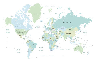 world map - Colourful Illustration in pastel blues and greens, showing country names, State names (USA & Australia), capital cities, major lakes and oceans. Print at no less than 36". Jpeg imagefavorite_border favorite
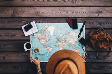 Tourist Planning tour using world map.favorite_border favorite
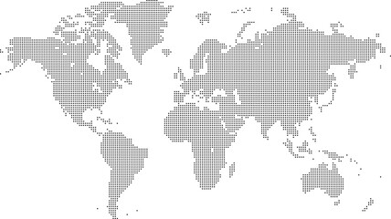 Square shape dotted world map with halftone pixel style continents and countries. Vector world map with square dot shape pattern. Digital world map square shape pattern infographic world atlas designfavorite_border favorite
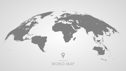 3d silhouette of a global world map, sphere with continents and islands of the world monochrome vector illustrationfavorite_border favorite
 World vector map. Earth planet simple stylized continents silhouette, minimal simplified line contour.favorite_border favorite
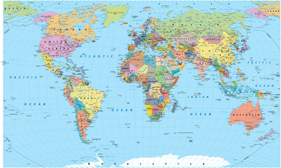 world map made of colorful splashesfavorite_border favorite
 Minimalist World Map Set for Global Conceptsfavorite_border favorite
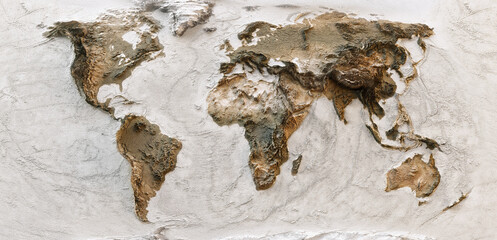 3D World map of the Earth with exaggerated topographic relief. Detailed global world physical map. Panoramic planet map with three dimensional continents surface and ocean texture. Geography templatefavorite_border favorite
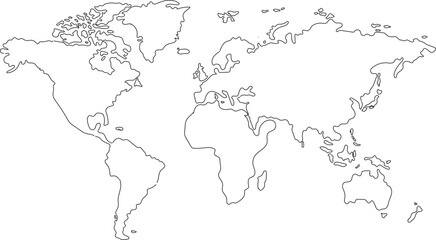 Hand drawn world map illustration, colorful vector of world map line art, doodles for poster, travel, print, business, vector illustration of global map.favorite_border favorite
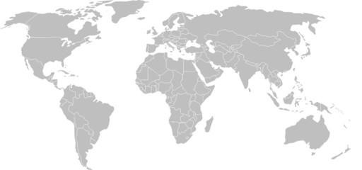 World mapfavorite_border favorite
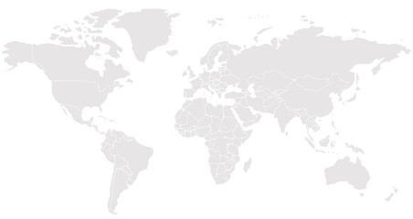 Simplified schematic map of World. Blank political map of countries. Generalized and smoothed borders. Simple flat vector illustrationfavorite_border favorite
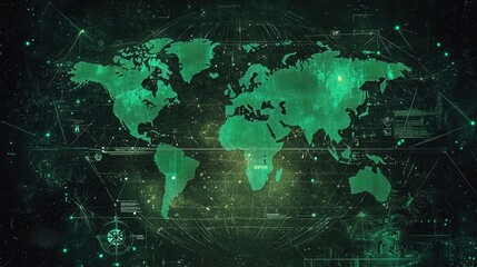 A glowing green world map overlaid with digital data, representing global connectivity and technology.favorite_border favorite
 直線で構成されたの世界地図のデザインfavorite_border favorite
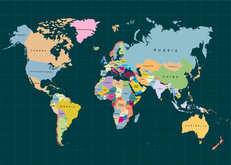 The Earth, World Map on dark background. Vector illustrationfavorite_border favorite
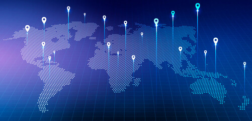 Holographic World Map With Locations Over Blue Background, Panorama, Collagefavorite_border favorite
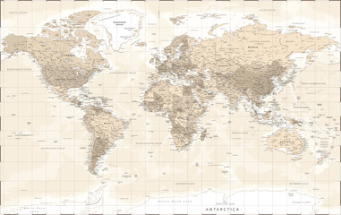 World Map - Vintage Retro Old Style - Vector Detailed Illustrationfavorite_border favorite
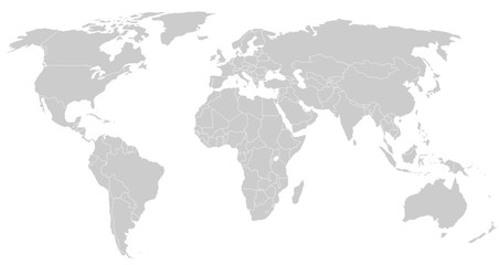 gray world map silhoeuttefavorite_border favorite
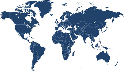 World map. Blue modern vector map. Silhouette mapfavorite_border favorite
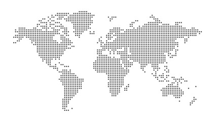 Halftone world map with dot pattern, dot textured continents graphic map, black and white Earth infographic. Vector isolated template great for digital design.favorite_border favorite
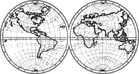 medieval old world map sketch engraving vector illustration. T-shirt apparel print design. Scratch board imitation. Black and white hand drawn image.favorite_border favorite
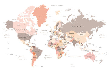 world map - all layers outlined stars-Colourful Illustration showing country names, State names (USA & Australia), capital cities, major lakes and oceans. Print at no less than 36". Jpeg imagefavorite_border favorite
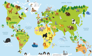 Funny cartoon world map with traditional animals of all the continents and oceans. Vector illustration for preschool education and kids designfavorite_border favorite
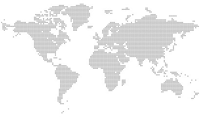 Dotted world map vector with a modern infographic aesthetic. Covers all continents with clear visual structure. Realistic vector dotted world map feathering abstract country boundaryfavorite_border favorite
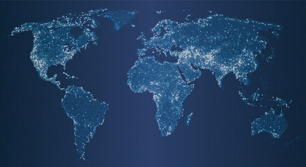 Vector illustration of a glowing world map at night, with shining dots representing cities, population, and global network. The digital earth highlights technology, communication, and major continentsfavorite_border favorite
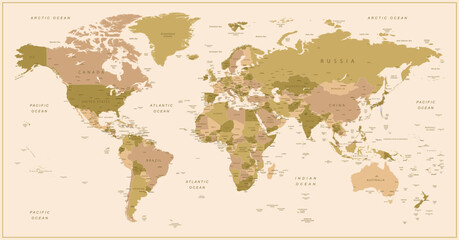 World map. Highly detailed map of the world with detailed borders of all countries, cities and bodies of water. Vector map in brown and green colors.favorite_border favorite
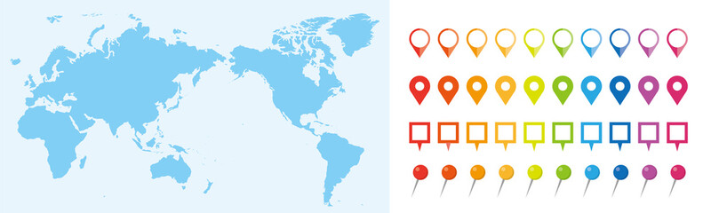 世界地図 ビジネス マップ ピンとマーカーのセットfavorite_border favorite
 Zdjęcie mapy świata wydrukowanej na korkufavorite_border favorite
 Abstract world map composed of black dots on a white background representing global connection and datafavorite_border favorite
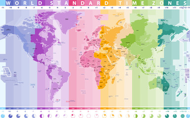 world standard time zones vector mapfavorite_border favorite
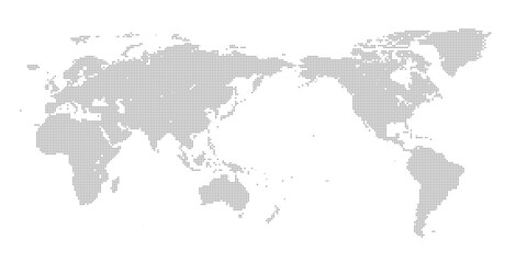 デジタルブロック調の世界地図favorite_border favorite
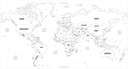 World map. High detailed political map of World with country, capital, ocean and sea names labelingfavorite_border favorite
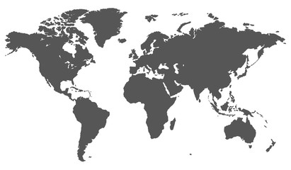 World Mapfavorite_border favorite
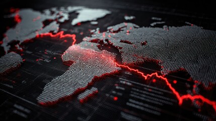 Detailed Abstract World Map Design with Red Data Points and Lines Illustrating Global Connectivity and Technologyfavorite_border favorite
 Territory of Qatar. Planet Earth. The Earth, World Map on white background. Vector illustration. EPS 10favorite_border favorite
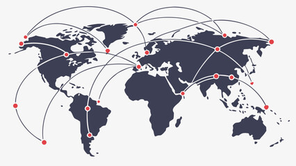 World map with connecting lines and red dots representing global network connections across continentsfavorite_border favorite
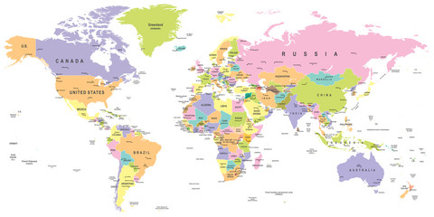 Colored World Map - borders, countries and cities - illustration Highly detailed colored vector illustration of world map.favorite_border favorite
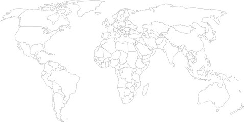 vector illustration of gray colored world mapfavorite_border favorite
 Solid Grey World Map Silhouette Vector for Geographic Infographicsfavorite_border favorite
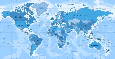 High Detailed Vector Political World Map Miller Cylindrical Projection Map Illustrationfavorite_border favorite
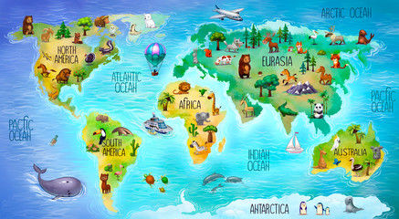 children's world map with mainland faunafavorite_border favorite
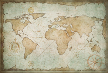 Blue worn vintage world map illustrationfavorite_border favorite
 Global network connection. World map point and line composition concept of global business. Vector Illustrationfavorite_border favorite
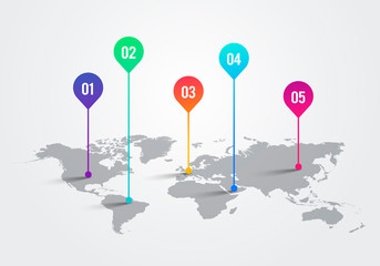 Vector Light World Map With Infographic Pointer Marks, Communication Concept Chartfavorite_border favorite
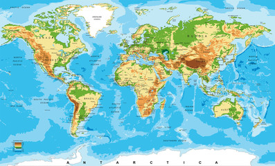 Physical map of the worldfavorite_border favorite
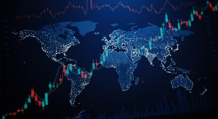 Digital Illustration of Global Stock Market Trading Data on World Mapfavorite_border favorite
 World map. Grey modern vector map. Silhouette.favorite_border favorite
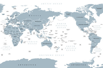 Pacific centered world map. Gray political map, placing Pacific Ocean at the center, showcasing Asia, Oceania, and the Americas around it, emphasizing the Pacific Rim. Cylindrical projection. Vectorfavorite_border favorite
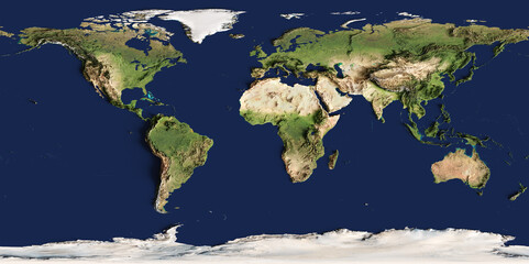 3d illustration of a highly detailed world map. Elements of this image furnished by NASA.favorite_border favorite
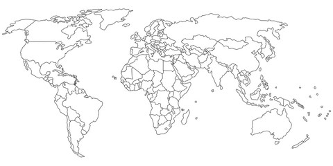 Simple outline of world map on transparent backgroundfavorite_border favorite
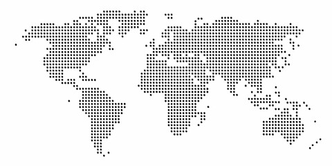 Abstract world map composed of black dots on a white background representing global connections and data pointsfavorite_border favorite
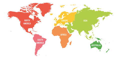 World map divided into six continents. Each continent in different color. Simple flat vector illustrationfavorite_border favorite
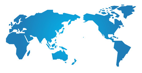 世界地図・シンプル - simple world map -favorite_border favorite
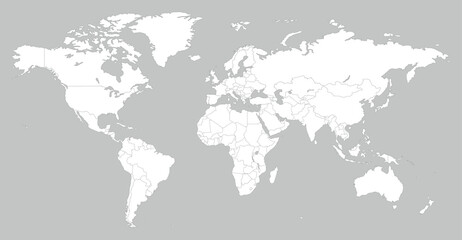 White World Map Minimalist Vector Illustration.epsfavorite_border favorite
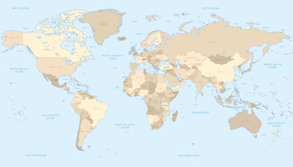 World Map - highly detailed vector illustrationfavorite_border favorite
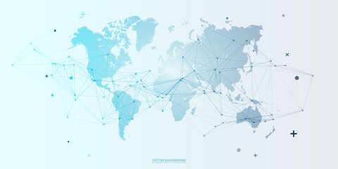 Global network connection. World map point and line composition concept of global business. Vector Illustrationfavorite_border favorite
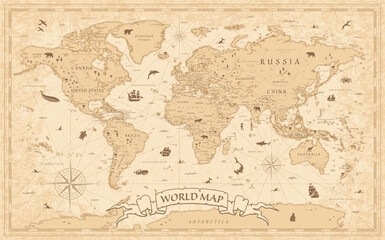 World Map Vintage Old-Style - - layersfavorite_border favorite
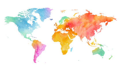 Mehrfarbenaquarell-Weltkarte auf weißem Hintergrund.favorite_border favorite
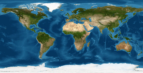 World map, Earth flat view from space. Physical map on global satellite photo. Elements of this image furnished by NASA.favorite_border favorite
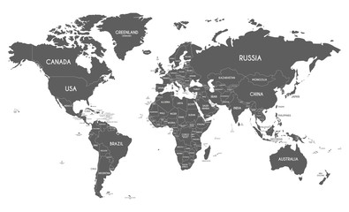 Political World Map vector illustration isolated on white background. Editable and clearly labeled layers.favorite_border favorite
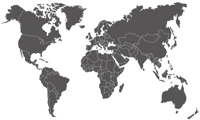 Weltkarte in Graufavorite_border favorite
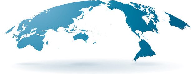 世界地図 高画質ベクターfavorite_border favorite
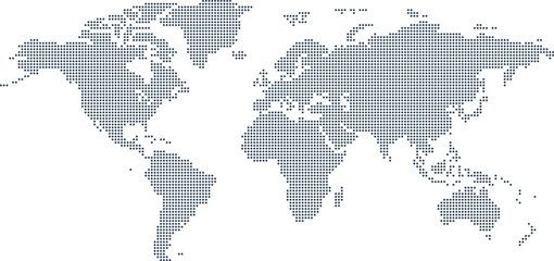 Dotted Map Vector High Quality World Map Illustration Editable Digital Downloadfavorite_border favorite
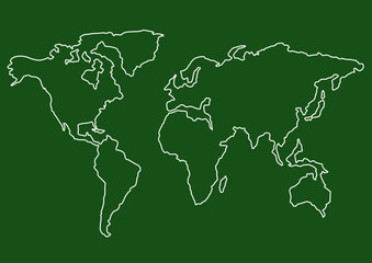 Vector background with the world map in green tones. Green background with place for text.favorite_border favorite
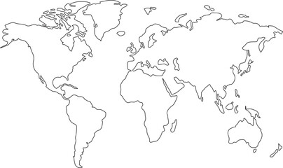 world map line art drawing design vector illustration isolated on transparent backgroundfavorite_border favorite
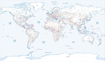 Outline map of the world with countries labeled And most of cities and townsfavorite_border favorite
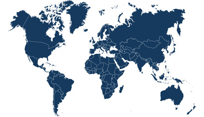 World map. Blue modern vector map. Silhouette mapfavorite_border favorite
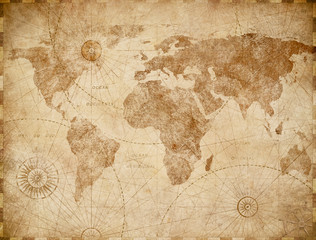 Vintage world map illustrationfavorite_border favorite
 On the Table Laptop Showing World Data Flow: Team of Politicians, Corporate Business Leaders and Lawyers Sitting at the Negotiations Table in the Conference Room, Trying to Come to an Agreement.favorite_border favorite
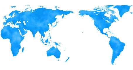 アジアを中心とした水彩風の世界地図、青favorite_border favorite
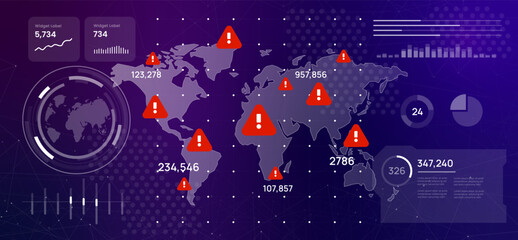 high-tech digital dashboard displaying a world map with red warning signs global crisis cybersecurity threats risk areas futuristic emergency and data driven alertsfavorite_border favorite
 Map of the planet. World map. Global social network. Future. Blue futuristic background with planet Earth. 3d illustration.favorite_border favorite
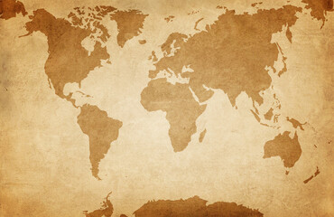 World map on old grunge paper backgroundfavorite_border favorite
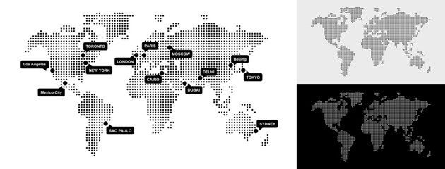 Set of Dotted World Map with All Continents and Largest Cities, Halftone and Circles Pixel Design, Ideal for Web, Business, and Infographics, Cloud, Network and AI Technology Vector Backgroundfavorite_border favorite
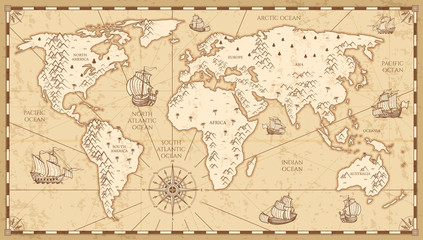 Vintage physical world map with rivers and mountains vector illustrationfavorite_border favorite
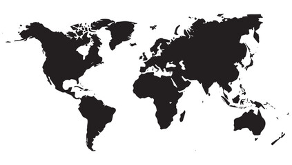 Bold black world map silhouette on white background offering a clean canvas for global business and travel conceptsfavorite_border favorite
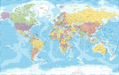 World Map - Political - Vector Detailed Illustrationfavorite_border favorite
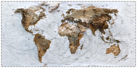 3D World map of the Earth with exaggerated topographic relief and countries names and boundaries. High detailed global world physical map. Planet map with continents, countries borders, water objectsfavorite_border favorite
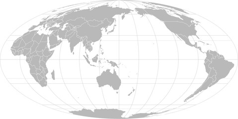 World vector map with country boundaries and graticules in Asia-Pacific view (Mollweide projection, PPT-compatible & fully editable)favorite_border favorite
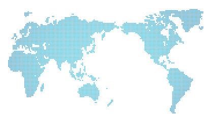 世界地図・ドット素材・丸ドットfavorite_border favorite
 Grey Flat World Map Per Country Designfavorite_border favorite
 Trending realistic dotted world map feathering abstract country boundary in dotted shape. A graphic dotted world map of Earths continents in a unique halftone pattern. World map global presentationsfavorite_border favorite
 High resolution satellite image of Earth. Panoramic planet map with texture surface. World map, Earth flat view on white background or Detailed global world physical map illustration.favorite_border favorite
 Abstract world map composed of black dots on a white background representing global connection and datafavorite_border favorite
 Global network connection. World map point and line composition concept of global business. Vector Illustrationfavorite_border favorite
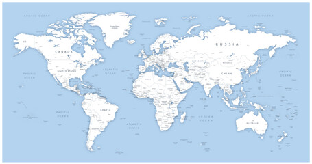 Detailed world map - vector illustration. Highly detailed world map: countries, capitals, cities, water bodiesfavorite_border favorite
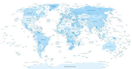 Detailed World Map blue colorsfavorite_border favorite
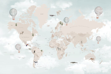 Soft Pastel World Map Illustration with Hot Air Balloons, Gentle Travel and Adventure Design for Printsfavorite_border favorite
 Zielona mapa światafavorite_border favorite
 white topography map geography relief diagram texture design. Topography white background and black line world map texture design. Lines Topographic contour lines grid map seamless pattern.favorite_border favorite
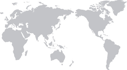 世界地図(日本中心)モノクロfavorite_border favorite
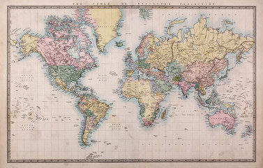 Old Antique World Map on Mercators Projectionfavorite_border favorite
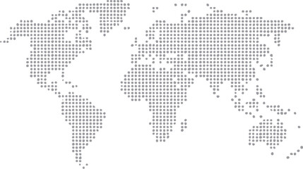 Dotted World Map in Grey Tonesfavorite_border favorite
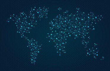 Light Glowing Connected Dots World Map with All Continents and Largest Cities, Quantum Big Data for Web, Business, and Infographics, Cloud Network and AI Technology Vector Dark Blue Backgroundfavorite_border favorite
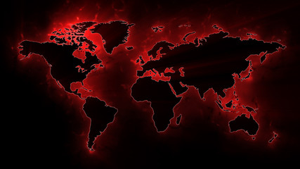 World Map Backgroundfavorite_border favorite
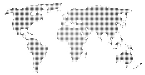 Weltkartefavorite_border favorite
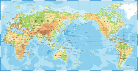 Political Physical Topographic Colored World Map Pacific Centeredfavorite_border favorite
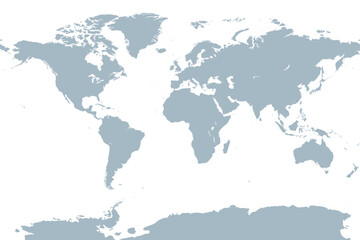 The world, gray general reference map. Map of the surface of the Earth with landmasses of all continents, with largest lakes, oceans and seas, in Miller cylindrical projection. Illustration. Vector.favorite_border favorite
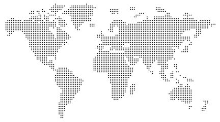 World map dotted illustration. Worldwide global map with dots. Isolated Earth atlas wallpaper.favorite_border favorite
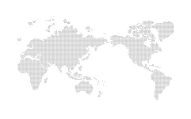 世界地図 ドット ベクター素材favorite_border favorite