-
Detailed world map in blue tones with dust texture.
Do ulubionych favorite_border
Usuń z ulubionych favorite
-
World map earth globe with dot pattern. 3d worldwide global icon, halftone pixel texture, isolated worldmap. Vector international business, travel abstract political concept
Do ulubionych favorite_border
Usuń z ulubionych favorite
-
Global connection network background. World map. Internet technology concept or global communication.
Do ulubionych favorite_border
Usuń z ulubionych favorite
-
Mapa świata w stylu technologicznym
Do ulubionych favorite_border
Usuń z ulubionych favorite
-
World map gray flat silhouette vector illustration
Do ulubionych favorite_border
Usuń z ulubionych favorite
-
World map showing aircraft flying between various destination points marked by location pins with dashed and wavy flight path lines for a global transportation concept and web designs.
Do ulubionych favorite_border
Usuń z ulubionych favorite
-
Curved world map grey isolated on white background
Do ulubionych favorite_border
Usuń z ulubionych favorite
-
Detailed map of the world with the borders of states on a blue background
Do ulubionych favorite_border
Usuń z ulubionych favorite
-
Global map in blue tones on black background with pixelated design
Do ulubionych favorite_border
Usuń z ulubionych favorite
-
ラフな線で描かれた日本地図と世界地図のイラスト素材セット
Do ulubionych favorite_border
Usuń z ulubionych favorite
-
Dark Blue Pixelated World Map with Brazil's Marked Geographic Position
Do ulubionych favorite_border
Usuń z ulubionych favorite
-
Wektorowa mapa świata - niebieska abstrakcja
Do ulubionych favorite_border
Usuń z ulubionych favorite
-
Political Physical Topographic Colored World Map Pacific Centered
Do ulubionych favorite_border
Usuń z ulubionych favorite
-
Do ulubionych favorite_border
Usuń z ulubionych favorite
-
Global network connection. World map point and line composition concept of global business. Vector Illustration
Do ulubionych favorite_border
Usuń z ulubionych favorite
-
Outlined vector map of the world
Do ulubionych favorite_border
Usuń z ulubionych favorite
-
Map of World. Mercator projection. High detailed political map of countries and dependent territories. Simple flat vector illustration
Do ulubionych favorite_border
Usuń z ulubionych favorite
-
Do ulubionych favorite_border
Usuń z ulubionych favorite
-
World map isolated on white background. for website layouts, background, education, precise, customizable, Travel worldwide, map silhouette backdrop, earth geography, political, reports.
Do ulubionych favorite_border
Usuń z ulubionych favorite
-
Set of dotted world maps in different resolution
Do ulubionych favorite_border
Usuń z ulubionych favorite
-
Simplified world vector map with square dot grid (Robinson projection, PPT-compatible & fully editable)
Do ulubionych favorite_border
Usuń z ulubionych favorite
-
Abstract world map composed of small dots in a pixelated digital style on a white background
Do ulubionych favorite_border
Usuń z ulubionych favorite
-
Vertical line shape word map with halftone pixel dots atlas pattern. Continents and countries outline. Abstract planet earth background design.
Do ulubionych favorite_border
Usuń z ulubionych favorite
-
World map on white background. Outline world map. World map template with continents. North and South America, Europe and Asia, Africa and Australia. Vector
Do ulubionych favorite_border
Usuń z ulubionych favorite
-
Detailed global world map, with borders and names of countries, seas and oceans, vector illustration
Do ulubionych favorite_border
Usuń z ulubionych favorite
-
Detailed Dotted map of the world vector illustration
Do ulubionych favorite_border
Usuń z ulubionych favorite
-
Europe. 3d rendering Globe Background, 3d Model Of Earth.
Do ulubionych favorite_border
Usuń z ulubionych favorite
-
High detailed Multicolor Watercolor World Map with borders.
Do ulubionych favorite_border
Usuń z ulubionych favorite
-
World map. Color modern vector map. Silhouette map.
Do ulubionych favorite_border
Usuń z ulubionych favorite
-
World Map Highlighting russia and Iran with Detailed Country Labels
Do ulubionych favorite_border
Usuń z ulubionych favorite
-
Stylized world map composed of numerous small blue dots against a clean white background
Do ulubionych favorite_border
Usuń z ulubionych favorite
-
Detailed world map with borders, countries
Do ulubionych favorite_border
Usuń z ulubionych favorite
-
World Map - Vintage Retro Old Style - Vector Detailed Illustration
Do ulubionych favorite_border
Usuń z ulubionych favorite
-
Topography and geography map. modern wallpaper texture and 3d realistic design. 3D waves. Retro topography map. Business concept. Vintage outdoors style. World Map Vintage Old-Style. Transparent PNG
Do ulubionych favorite_border
Usuń z ulubionych favorite
-
3D illustration of a highly detailed world map. Elements of this image furnished by NASA.
Do ulubionych favorite_border
Usuń z ulubionych favorite
-
Big set of High Detailed Maps and Globes. Pins collection. Different effects. World Map and infograpchic elements. Political countries World Map. Vector illustration
Do ulubionych favorite_border
Usuń z ulubionych favorite
-
CARTE DU MONDE SIMPLIFIÉE
Do ulubionych favorite_border
Usuń z ulubionych favorite
-
Grey world map with latitude and longitude grid on The Robinson projection. Vector Map Illustration.
Do ulubionych favorite_border
Usuń z ulubionych favorite
-
World, general reference map, political divisions. Political map with international country borders, continents, oceans, and largest lakes, in a cylindrical projection. English labeling. Vector
Do ulubionych favorite_border
Usuń z ulubionych favorite
-
Abstract digital world map with glowing data points and graphical user interface elements displayed
Do ulubionych favorite_border
Usuń z ulubionych favorite
-
Cool grey Abstrak technologi vector tech Stylized modern world map background Stylized wireframe and dots for data visualization and infographics HUD GUI UI
Do ulubionych favorite_border
Usuń z ulubionych favorite
-
Travel famous landmarks world, Europe, Asia and America. Watercolor landscape
Do ulubionych favorite_border
Usuń z ulubionych favorite
-
Vector dotted world map with east and west hemisphere detail. Great for global visual communication and design work. Modern dotted world map feathering abstract country boundary in dotted shape.
Do ulubionych favorite_border
Usuń z ulubionych favorite
-
六州で色分けされた世界地図、ロシアをアジア州として別色で表示、英語
Do ulubionych favorite_border
Usuń z ulubionych favorite
-
Colourful Illustration of a world map showing country names, State names (USA & Australia), capital cities, major lakes and oceans. Print at no less than 36". Jpeg no need for vector program.
Do ulubionych favorite_border
Usuń z ulubionych favorite
-
Golden tile world silhouette, isolated on transparent background. 3D illustration
Do ulubionych favorite_border
Usuń z ulubionych favorite
-
Continuous one line drawing. World map.one line vector illustration with out background
Do ulubionych favorite_border
Usuń z ulubionych favorite
-
Simple Grey World Map with Pacific Ocean Center View
Do ulubionych favorite_border
Usuń z ulubionych favorite
-
Political Map of the World
Do ulubionych favorite_border
Usuń z ulubionych favorite
-
World map outline, blank map of the world without labels or borders
Do ulubionych favorite_border
Usuń z ulubionych favorite
-
Full World Map Atlas Classique circa 1869 Antique Map
Do ulubionych favorite_border
Usuń z ulubionych favorite
-
Do ulubionych favorite_border
Usuń z ulubionych favorite
-
Grayscale World Map - borders, countries and cities - illustration Highly detailed gray vector illustration of world map.
Do ulubionych favorite_border
Usuń z ulubionych favorite
-
World map on transparent background
Do ulubionych favorite_border
Usuń z ulubionych favorite
-
Global network international communication world icon collection
Do ulubionych favorite_border
Usuń z ulubionych favorite
-
Do ulubionych favorite_border
Usuń z ulubionych favorite
-
Halftone world map with dot pattern, dotted globe continents graphic, black and white Earth planet, global geography elements, digital simple travel infographics. Vector isolated concept
Do ulubionych favorite_border
Usuń z ulubionych favorite
-
Do ulubionych favorite_border
Usuń z ulubionych favorite
-
Global business geography and worldwide international curved world map silhouette, blue planet Earth half globe. Europe, Africa, Asia and America, Australia continents. Travel vector..eps
Do ulubionych favorite_border
Usuń z ulubionych favorite
-
World Map Gray And White Shaded Relief Textured Map On White Background 3D Illustration
Do ulubionych favorite_border
Usuń z ulubionych favorite
-
world map logo design,globe,world,earth,icon,map,global,world,vector,logo,design,earth,graphic,globe,sign,planet,symbol,element,travel,modern,abstract,web,illustration,internet,isolated,circle,network
Do ulubionych favorite_border
Usuń z ulubionych favorite
-
Futuristic user interface display with world map background for digital data analysis. Technology screen for global network, communication concept.
Do ulubionych favorite_border
Usuń z ulubionych favorite
-
Creative vertical line shape dotted map showing world continents like Africa, Asia, and Europe. A clean infographic style earth layout. Designed for global data visualization.
Do ulubionych favorite_border
Usuń z ulubionych favorite
-
15-Degree world map graticule (latitude-longitude) grid vector in Hammer projection
Do ulubionych favorite_border
Usuń z ulubionych favorite
-
Spherical Gray World Map. Global geography concept. Vector illustration.
Do ulubionych favorite_border
Usuń z ulubionych favorite
-
Do ulubionych favorite_border
Usuń z ulubionych favorite
-
Global networking and international communication. World map as a symbol of the global network. Elements of this image furnished by NASA.
Do ulubionych favorite_border
Usuń z ulubionych favorite
-
Blue stylized world map illustration with interconnected flight paths airplanes and city landmarks representing global travel and logistics.
Do ulubionych favorite_border
Usuń z ulubionych favorite
-
world map, shades of grey, Illustration showing country names, State names (USA & Australia), capital cities, major lakes and oceans. Print at no less than 36". Jpeg image
Do ulubionych favorite_border
Usuń z ulubionych favorite
-
A conceptual vector graphic creative design showing a world map overlaid with a network of interconnected nodes and lines, representing global communication, data flow or digital interconnectedness.
Do ulubionych favorite_border
Usuń z ulubionych favorite
-
Outline World Map with Major Country Labels
Do ulubionych favorite_border
Usuń z ulubionych favorite
-
Vintage world map, educational geography poster, antique-style wall art, travel-themed decor, kids room, global nations, illustrated, detailed, aesthetic
Do ulubionych favorite_border
Usuń z ulubionych favorite
-
World Map - Highly Detailed Vector Map of the World. Ideally for the Print Posters. Beige Pastel Vintage Colors. Retro Style
Do ulubionych favorite_border
Usuń z ulubionych favorite
-
World map with country borders
Do ulubionych favorite_border
Usuń z ulubionych favorite
-
Planet Earth. Earth Day. The Earth, World Map on white background. Vector illustration. EPS 10
Do ulubionych favorite_border
Usuń z ulubionych favorite
-
3D World map of the Earth with exaggerated topographic relief. Detailed global world physical map. Panoramic planet map with three dimensional continents surface and ocean texture. Geography template
Do ulubionych favorite_border
Usuń z ulubionych favorite
-
Global Map A Simple Black and White World Map Illustration for Educational and Informational Purposes
Do ulubionych favorite_border
Usuń z ulubionych favorite
-
Do ulubionych favorite_border
Usuń z ulubionych favorite
-
Blue curved World map contours on white background. Made for world news and articles.
Do ulubionych favorite_border
Usuń z ulubionych favorite
-
Do ulubionych favorite_border
Usuń z ulubionych favorite
-
World map silhouette, blue and white color, flat design, vector illustration.
Do ulubionych favorite_border
Usuń z ulubionych favorite
-
High detail white political world map with country borders. vector illustration of earth map on white background
Do ulubionych favorite_border
Usuń z ulubionych favorite
-
Squire form dotted international map blends technological know how and digital layout. Ideal for infographics, education, and enterprise networks throughout the planet.
Do ulubionych favorite_border
Usuń z ulubionych favorite
-
Vector Rectangle Dotted World Map Outline Illustration
Do ulubionych favorite_border
Usuń z ulubionych favorite
-
World map technology network connection with shadow. HUD Glow futuristic vector design, with line point location for infographic use to your globalization interface website
Do ulubionych favorite_border
Usuń z ulubionych favorite
-
A black polygon world map, with a solid silhouette of all continents, isolated against a transparent background. A versatile graphic for global projects.
Do ulubionych favorite_border
Usuń z ulubionych favorite
-
World map outline with highlighted continents and islands on a transparent background
Do ulubionych favorite_border
Usuń z ulubionych favorite
-
world map with pin location vector illustration isolated on white background.
Do ulubionych favorite_border
Usuń z ulubionych favorite
-
world map with the relief of the land on a white background
Do ulubionych favorite_border
Usuń z ulubionych favorite
-
Do ulubionych favorite_border
Usuń z ulubionych favorite
-
Do ulubionych favorite_border
Usuń z ulubionych favorite
-
Very detailed high quality world map with state borders isolated on white background
Do ulubionych favorite_border
Usuń z ulubionych favorite
-
World Map Vintage Vector. Detailed illustration of worldmap
Do ulubionych favorite_border
Usuń z ulubionych favorite
-
Chocolate World Map Concept with Dripping Effect
Do ulubionych favorite_border
Usuń z ulubionych favorite
-
Do ulubionych favorite_border
Usuń z ulubionych favorite
-
Black halftone dotted blue gradient world map. Vector illustration. Dotted map in flat design. Vector illustration isolated on white background
Do ulubionych favorite_border
Usuń z ulubionych favorite
-
Detailed world map outline displaying political borders for geographical analysis and exploration
Do ulubionych favorite_border
Usuń z ulubionych favorite
-
halftone world map vector illustration
Do ulubionych favorite_border
Usuń z ulubionych favorite
-
World Map Isolated on White Background in Gray Color. Vector Illustration
Do ulubionych favorite_border
Usuń z ulubionych favorite
-
Weltkarte aus Punkten / Kreisen
Do ulubionych favorite_border
Usuń z ulubionych favorite
 Detailed world map in blue tones with dust texture.favorite_border favorite
 World map earth globe with dot pattern. 3d worldwide global icon, halftone pixel texture, isolated worldmap. Vector international business, travel abstract political conceptfavorite_border favorite
 Global connection network background. World map. Internet technology concept or global communication.favorite_border favorite
 Mapa świata w stylu technologicznymfavorite_border favorite
 World map gray flat silhouette vector illustrationfavorite_border favorite
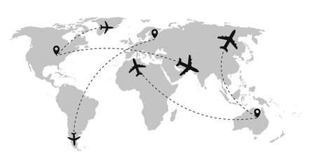 World map showing aircraft flying between various destination points marked by location pins with dashed and wavy flight path lines for a global transportation concept and web designs.favorite_border favorite
 Curved world map grey isolated on white backgroundfavorite_border favorite
 Detailed map of the world with the borders of states on a blue backgroundfavorite_border favorite
 Global map in blue tones on black background with pixelated designfavorite_border favorite
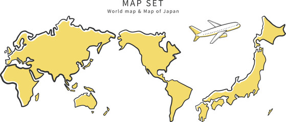 ラフな線で描かれた日本地図と世界地図のイラスト素材セットfavorite_border favorite
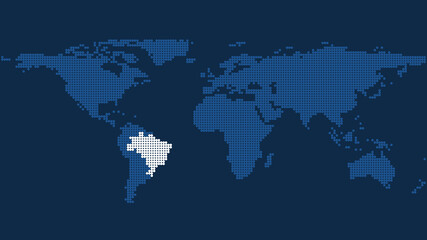 Dark Blue Pixelated World Map with Brazil's Marked Geographic Positionfavorite_border favorite
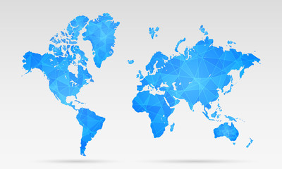 Wektorowa mapa świata - niebieska abstrakcjafavorite_border favorite
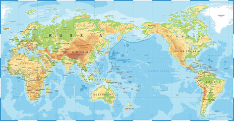 Political Physical Topographic Colored World Map Pacific Centeredfavorite_border favorite
 World Map Backgroundfavorite_border favorite
 Global network connection. World map point and line composition concept of global business. Vector Illustrationfavorite_border favorite
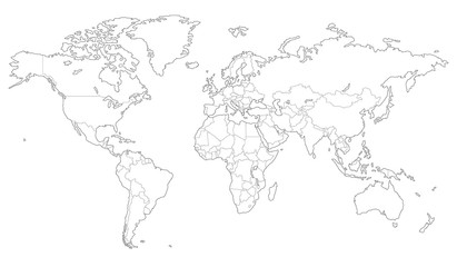 Outlined vector map of the worldfavorite_border favorite
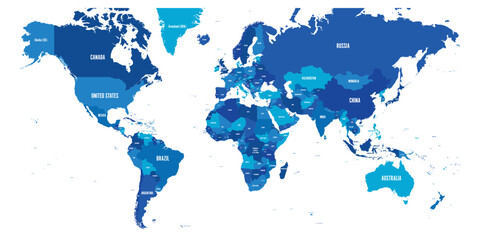 Map of World. Mercator projection. High detailed political map of countries and dependent territories. Simple flat vector illustrationfavorite_border favorite
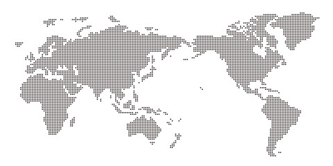 丸いドットでできた世界地図 太平洋中心 黒favorite_border favorite
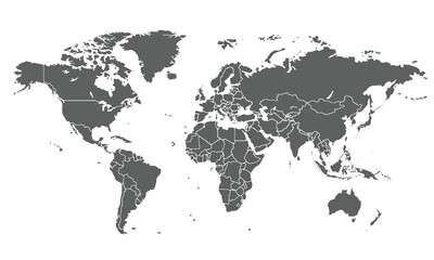 World map isolated on white background. for website layouts, background, education, precise, customizable, Travel worldwide, map silhouette backdrop, earth geography, political, reports.favorite_border favorite
 Set of dotted world maps in different resolutionfavorite_border favorite
 Simplified world vector map with square dot grid (Robinson projection, PPT-compatible & fully editable)favorite_border favorite
 Abstract world map composed of small dots in a pixelated digital style on a white backgroundfavorite_border favorite
 Vertical line shape word map with halftone pixel dots atlas pattern. Continents and countries outline. Abstract planet earth background design.favorite_border favorite
 World map on white background. Outline world map. World map template with continents. North and South America, Europe and Asia, Africa and Australia. Vectorfavorite_border favorite
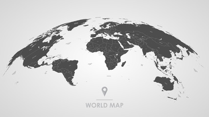 Detailed global world map, with borders and names of countries, seas and oceans, vector illustrationfavorite_border favorite
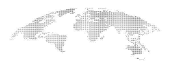 Detailed Dotted map of the world vector illustrationfavorite_border favorite
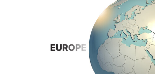 Europe. 3d rendering Globe Background, 3d Model Of Earth.favorite_border favorite
 High detailed Multicolor Watercolor World Map with borders.favorite_border favorite
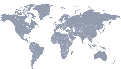 World map. Color modern vector map. Silhouette map.favorite_border favorite
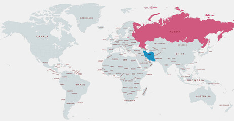 World Map Highlighting russia and Iran with Detailed Country Labelsfavorite_border favorite
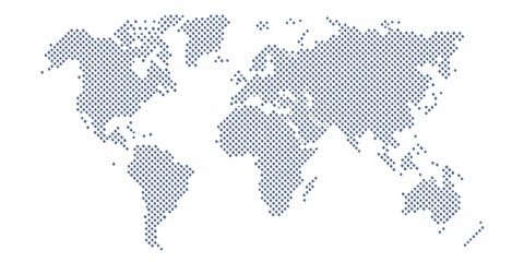 Stylized world map composed of numerous small blue dots against a clean white backgroundfavorite_border favorite
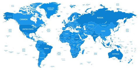 Detailed world map with borders, countriesfavorite_border favorite
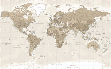 World Map - Vintage Retro Old Style - Vector Detailed Illustrationfavorite_border favorite
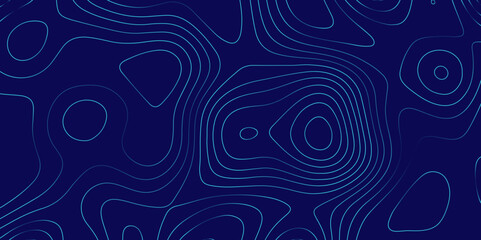 Topography and geography map. modern wallpaper texture and 3d realistic design. 3D waves. Retro topography map. Business concept. Vintage outdoors style. World Map Vintage Old-Style. Transparent PNGfavorite_border favorite
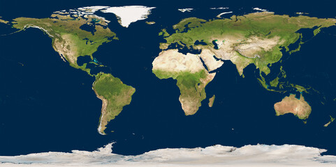 3D illustration of a highly detailed world map. Elements of this image furnished by NASA.favorite_border favorite
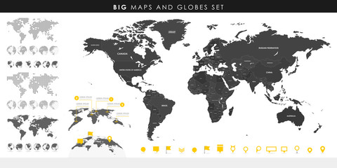 Big set of High Detailed Maps and Globes. Pins collection. Different effects. World Map and infograpchic elements. Political countries World Map. Vector illustrationfavorite_border favorite
 CARTE DU MONDE SIMPLIFIÉEfavorite_border favorite
 Grey world map with latitude and longitude grid on The Robinson projection. Vector Map Illustration.favorite_border favorite
 World, general reference map, political divisions. Political map with international country borders, continents, oceans, and largest lakes, in a cylindrical projection. English labeling. Vectorfavorite_border favorite
 Abstract digital world map with glowing data points and graphical user interface elements displayedfavorite_border favorite
 Cool grey Abstrak technologi vector tech Stylized modern world map background Stylized wireframe and dots for data visualization and infographics HUD GUI UIfavorite_border favorite
 Travel famous landmarks world, Europe, Asia and America. Watercolor landscapefavorite_border favorite
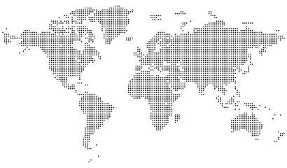 Vector dotted world map with east and west hemisphere detail. Great for global visual communication and design work. Modern dotted world map feathering abstract country boundary in dotted shape.favorite_border favorite
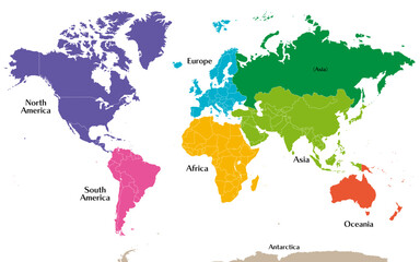 六州で色分けされた世界地図、ロシアをアジア州として別色で表示、英語favorite_border favorite
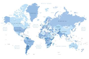 Colourful Illustration of a world map showing country names, State names (USA & Australia), capital cities, major lakes and oceans. Print at no less than 36". Jpeg no need for vector program.favorite_border favorite
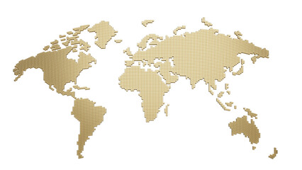 Golden tile world silhouette, isolated on transparent background. 3D illustrationfavorite_border favorite
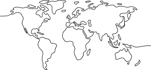 Continuous one line drawing. World map.one line vector illustration with out backgroundfavorite_border favorite
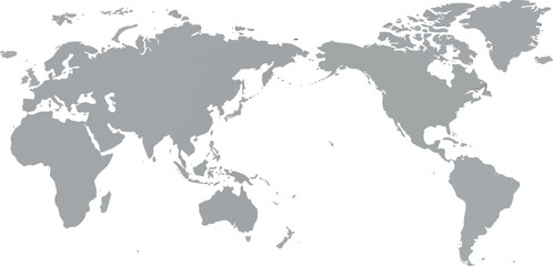 Simple Grey World Map with Pacific Ocean Center Viewfavorite_border favorite
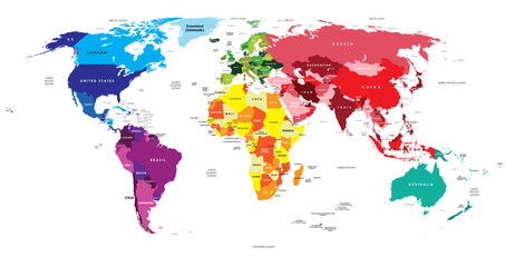 Political Map of the Worldfavorite_border favorite
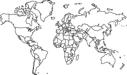 World map outline, blank map of the world without labels or bordersfavorite_border favorite
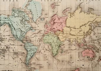 Full World Map Atlas Classique circa 1869 Antique Mapfavorite_border favorite
 パースのある世界地図 ドット ベクター素材favorite_border favorite
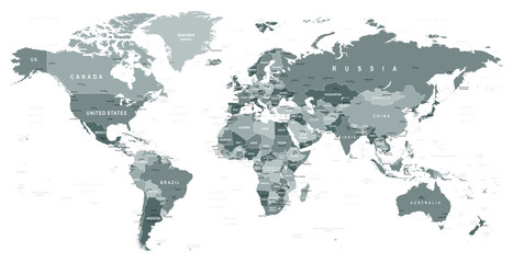 Grayscale World Map - borders, countries and cities - illustration Highly detailed gray vector illustration of world map.favorite_border favorite
 World map on transparent backgroundfavorite_border favorite
 Global network international communication world icon collectionfavorite_border favorite
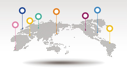 世界地図・拠点favorite_border favorite
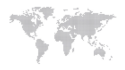 Halftone world map with dot pattern, dotted globe continents graphic, black and white Earth planet, global geography elements, digital simple travel infographics. Vector isolated conceptfavorite_border favorite
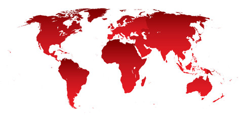 World map red continentsfavorite_border favorite
 Global business geography and worldwide international curved world map silhouette, blue planet Earth half globe. Europe, Africa, Asia and America, Australia continents. Travel vector..epsfavorite_border favorite
 World Map Gray And White Shaded Relief Textured Map On White Background 3D Illustrationfavorite_border favorite
 world map logo design,globe,world,earth,icon,map,global,world,vector,logo,design,earth,graphic,globe,sign,planet,symbol,element,travel,modern,abstract,web,illustration,internet,isolated,circle,networkfavorite_border favorite
 Futuristic user interface display with world map background for digital data analysis. Technology screen for global network, communication concept.favorite_border favorite
 Creative vertical line shape dotted map showing world continents like Africa, Asia, and Europe. A clean infographic style earth layout. Designed for global data visualization.favorite_border favorite
 15-Degree world map graticule (latitude-longitude) grid vector in Hammer projectionfavorite_border favorite
 Spherical Gray World Map. Global geography concept. Vector illustration.favorite_border favorite
 World map illustrationfavorite_border favorite
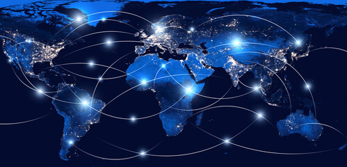 Global networking and international communication. World map as a symbol of the global network. Elements of this image furnished by NASA.favorite_border favorite
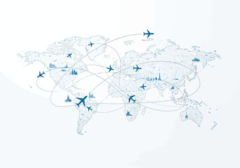 Blue stylized world map illustration with interconnected flight paths airplanes and city landmarks representing global travel and logistics.favorite_border favorite
 world map, shades of grey, Illustration showing country names, State names (USA & Australia), capital cities, major lakes and oceans. Print at no less than 36". Jpeg imagefavorite_border favorite
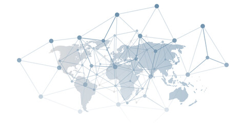 A conceptual vector graphic creative design showing a world map overlaid with a network of interconnected nodes and lines, representing global communication, data flow or digital interconnectedness.favorite_border favorite
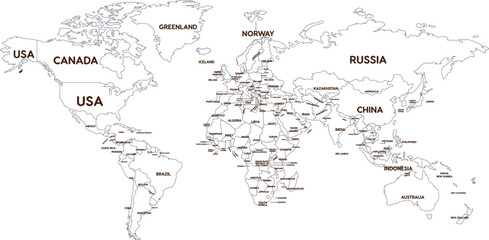 Outline World Map with Major Country Labelsfavorite_border favorite
 Vintage world map, educational geography poster, antique-style wall art, travel-themed decor, kids room, global nations, illustrated, detailed, aestheticfavorite_border favorite
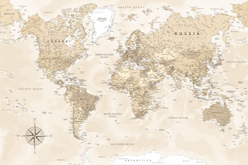 World Map - Highly Detailed Vector Map of the World. Ideally for the Print Posters. Beige Pastel Vintage Colors. Retro Stylefavorite_border favorite
 World map with country bordersfavorite_border favorite
 Planet Earth. Earth Day. The Earth, World Map on white background. Vector illustration. EPS 10favorite_border favorite
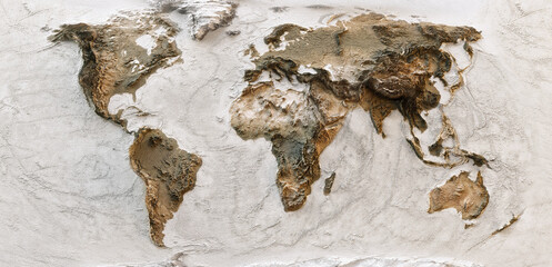 3D World map of the Earth with exaggerated topographic relief. Detailed global world physical map. Panoramic planet map with three dimensional continents surface and ocean texture. Geography templatefavorite_border favorite
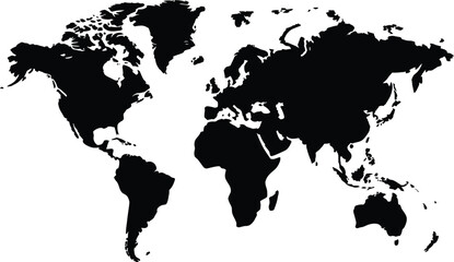 Global Map A Simple Black and White World Map Illustration for Educational and Informational Purposesfavorite_border favorite
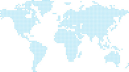 青のドットの世界地図favorite_border favorite
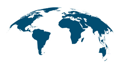 Blue curved World map contours on white background. Made for world news and articles.favorite_border favorite
 weltkartefavorite_border favorite
 World map silhouette, blue and white color, flat design, vector illustration.favorite_border favorite
 High detail white political world map with country borders. vector illustration of earth map on white backgroundfavorite_border favorite
 Squire form dotted international map blends technological know how and digital layout. Ideal for infographics, education, and enterprise networks throughout the planet.favorite_border favorite
 Vector Rectangle Dotted World Map Outline Illustrationfavorite_border favorite
 World map technology network connection with shadow. HUD Glow futuristic vector design, with line point location for infographic use to your globalization interface websitefavorite_border favorite
 A black polygon world map, with a solid silhouette of all continents, isolated against a transparent background. A versatile graphic for global projects.favorite_border favorite
 World map outline with highlighted continents and islands on a transparent backgroundfavorite_border favorite
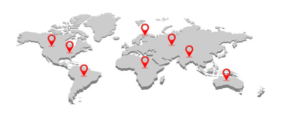 world map with pin location vector illustration isolated on white background.favorite_border favorite
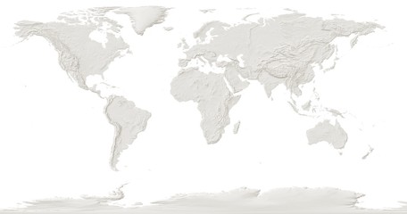 world map with the relief of the land on a white backgroundfavorite_border favorite
 mapa do mundofavorite_border favorite
 世界地図 高画質ベクターfavorite_border favorite
 Very detailed high quality world map with state borders isolated on white backgroundfavorite_border favorite
 World Map Vintage Vector. Detailed illustration of worldmapfavorite_border favorite
 Chocolate World Map Concept with Dripping Effectfavorite_border favorite
 Mapa światafavorite_border favorite
 Black halftone dotted blue gradient world map. Vector illustration. Dotted map in flat design. Vector illustration isolated on white backgroundfavorite_border favorite
 Detailed world map outline displaying political borders for geographical analysis and explorationfavorite_border favorite
 halftone world map vector illustrationfavorite_border favorite
 World Map Isolated on White Background in Gray Color. Vector Illustrationfavorite_border favorite
 Weltkarte aus Punkten / Kreisenfavorite_border favorite