-
Do ulubionych favorite_border
Usuń z ulubionych favorite
-
World map. Outline silhouette vector illustration
Do ulubionych favorite_border
Usuń z ulubionych favorite
-
Square shape dotted world map with halftone pixel style continents and countries. Vector world map with square dot shape pattern. Digital world map square shape pattern infographic world atlas design
Do ulubionych favorite_border
Usuń z ulubionych favorite
-
TV wall presenting financial charts
Do ulubionych favorite_border
Usuń z ulubionych favorite
-
Do ulubionych favorite_border
Usuń z ulubionych favorite
-
World map of land and ocean floor terrain with blended colors and satellite imagery
Do ulubionych favorite_border
Usuń z ulubionych favorite
-
World map point and line composition concept of global business. Global network connection. Vector Illustration Free Vector
Do ulubionych favorite_border
Usuń z ulubionych favorite
-
Do ulubionych favorite_border
Usuń z ulubionych favorite
-
Dotted world map illustration on white background
Do ulubionych favorite_border
Usuń z ulubionych favorite
-
world map vector illustration, Black and White World Map Vector illustration
Do ulubionych favorite_border
Usuń z ulubionych favorite
-
world map Line art Illustration with boundaries of continents isolated silhouette stylize
Do ulubionych favorite_border
Usuń z ulubionych favorite
-
A detailed representation of the world map featuring various political regions, displayed in a square grid pattern with different shades of blue, highlighting geographical boundaries.
Do ulubionych favorite_border
Usuń z ulubionych favorite
-
World Map - Political - Vector Detailed Illustration
Do ulubionych favorite_border
Usuń z ulubionych favorite
-
Do ulubionych favorite_border
Usuń z ulubionych favorite
-
Simple outline of world map on transparent background, vector 10 eps.
Do ulubionych favorite_border
Usuń z ulubionych favorite
-
airplane on world map background. concept of plane travel. Empty space for text - booking a flight ticket
Do ulubionych favorite_border
Usuń z ulubionych favorite
-
Old World Map in Hemispheres
Do ulubionych favorite_border
Usuń z ulubionych favorite
-
Pixelated world map illustration with continents and oceans clearly defined
Do ulubionych favorite_border
Usuń z ulubionych favorite
-
World map with location pins drawn in single line art style Vector, illustration
Do ulubionych favorite_border
Usuń z ulubionych favorite
-
Do ulubionych favorite_border
Usuń z ulubionych favorite
-
Do ulubionych favorite_border
Usuń z ulubionych favorite
-
Vector Linear World Map, editable stroke. vector illustration isolated on white background.
Do ulubionych favorite_border
Usuń z ulubionych favorite
-
Vertical dotted world map in rectangular layout with geometric lines and halftone details. A digital representation of global continents. Ideal for business, atlas, or technology designs.
Do ulubionych favorite_border
Usuń z ulubionych favorite
-
Earth globe set. World map in globe shape. Earth globes collection on isolated background. Flat style - stock vector.
Do ulubionych favorite_border
Usuń z ulubionych favorite
-
World Map. Highly detailed map of the world with detailed borders of all countries in blue colors. Vector illustration
Do ulubionych favorite_border
Usuń z ulubionych favorite
-
15-Degree world map graticule (latitude-longitude) grid vector in Aitoff projection
Do ulubionych favorite_border
Usuń z ulubionych favorite
-
Detailed vector illustration of a world map showing continents, countries, and natural features oceans and seas .
Do ulubionych favorite_border
Usuń z ulubionych favorite
-
Highly detailed political World map. EPS 10 vector
Do ulubionych favorite_border
Usuń z ulubionych favorite
-
Polygon world map with blockchain technology peer to peer network on blue background. Network, p2p business, e-commerce, bitcoin trading and global cryptocurrency blockchain business banner concept.
Do ulubionych favorite_border
Usuń z ulubionych favorite
-
Children's map of the world with sights detailed grey
Do ulubionych favorite_border
Usuń z ulubionych favorite
-
World map Black blackboard separate states individual vector
Do ulubionych favorite_border
Usuń z ulubionych favorite
-
World Map with Highlighted Country Borders Vector Illustration
Do ulubionych favorite_border
Usuń z ulubionych favorite
-
World Map Vintage Cartoon Detailed - vector
Do ulubionych favorite_border
Usuń z ulubionych favorite
-
六州で色分けされた世界地図、ロシアをウラル山脈でアジアとヨーロッパに分割、パナマを北米と南米に分割、英語
Do ulubionych favorite_border
Usuń z ulubionych favorite
-
Do ulubionych favorite_border
Usuń z ulubionych favorite
-
Global Financial Data Connections Overlayed on World Map.
Do ulubionych favorite_border
Usuń z ulubionych favorite
-
Do ulubionych favorite_border
Usuń z ulubionych favorite
-
Envíos a todo el mundo desde México. Imágen del mundo con conexiones iluminadas.
Do ulubionych favorite_border
Usuń z ulubionych favorite
-
The world map with cartoon animals for kids, nature, discovery and continent name, ocean name, vector Illustration.
Do ulubionych favorite_border
Usuń z ulubionych favorite
-
Weltkarte - Dunkelgrau (hoher Detailgrad)
Do ulubionych favorite_border
Usuń z ulubionych favorite
-
World Map Vintage Political - Vector Detailed Illustration - Layers
Do ulubionych favorite_border
Usuń z ulubionych favorite
-
World Map Political and Flags - Vector Detailed Illustration
Do ulubionych favorite_border
Usuń z ulubionych favorite
-
Grayscale World Map - illustration
Do ulubionych favorite_border
Usuń z ulubionych favorite
-
World Map - Pacific View - Asia China Center - Political Topographic - Detailed Illustration
Do ulubionych favorite_border
Usuń z ulubionych favorite
-
World Map - Physical Topographic - Vector Detailed Illustration
Do ulubionych favorite_border
Usuń z ulubionych favorite
-
World Map Outline Contour Silhouette Borders - Asia in Center
Do ulubionych favorite_border
Usuń z ulubionych favorite
-
World Map Vintage Political - Detailed Illustration - Layers
Do ulubionych favorite_border
Usuń z ulubionych favorite
-
World Map Vector. Detailed illustration of worldmap
Do ulubionych favorite_border
Usuń z ulubionych favorite
-
World Map Vintage Black Golden Detailed - Vector
Do ulubionych favorite_border
Usuń z ulubionych favorite
-
Vintage World Map - Vector Illustration
Do ulubionych favorite_border
Usuń z ulubionych favorite
-
Vertical line shape dotted map of the Earth showcasing landmasses with clean vector design. Ideal for atlas projects and mapping symbols.
Do ulubionych favorite_border
Usuń z ulubionych favorite
-
World Map - Pacific China Asia Centered View - Blue Color Political - Vector
Do ulubionych favorite_border
Usuń z ulubionych favorite
-
Horizontal line shape vector world map art on a solid white background. World map in line shape silhouette view
Do ulubionych favorite_border
Usuń z ulubionych favorite
-
Dotted world map in a square shape. Continents with a dotted halftone pattern. Design for business and marketing materials representing continents and country with a unique square dot pattern
Do ulubionych favorite_border
Usuń z ulubionych favorite
-
Map of Canada showing the region with relief representation, rivers, lakes, administrative boundaries and undersea relief. No labels at all.
Do ulubionych favorite_border
Usuń z ulubionych favorite
-
Black Silhouette of the World Map Showing Continents and Countries globe earth also transparent background
Do ulubionych favorite_border
Usuń z ulubionych favorite
-
Curved World Map Silhouette - Global Perspective Vector Illustration
Do ulubionych favorite_border
Usuń z ulubionych favorite
-
Hand-drawn world map with global trade routes and business icons illustrating international commerce and logistics concept for finance and travel
Do ulubionych favorite_border
Usuń z ulubionych favorite
-
Do ulubionych favorite_border
Usuń z ulubionych favorite
-
Global Digital Network Connections Map with Glowing Data Links, World Communication Technology and Big Data Exchange Concept on Blue Background
Do ulubionych favorite_border
Usuń z ulubionych favorite
-
Do ulubionych favorite_border
Usuń z ulubionych favorite
-
Global transportation network with airplanes and ships on a world map
Do ulubionych favorite_border
Usuń z ulubionych favorite
-
Travel and Adventure Elements Hand Drawn Icons and World Map Illustration
Do ulubionych favorite_border
Usuń z ulubionych favorite
-
Detailed world map with white country outlines on black continents transparent background
Do ulubionych favorite_border
Usuń z ulubionych favorite
-
World map, earth icon svg cut file. Isolated vector illustration.
Do ulubionych favorite_border
Usuń z ulubionych favorite
-
3D World Map Globe Perspective Terrain Background.3d rendering
Do ulubionych favorite_border
Usuń z ulubionych favorite
-
Global connections illustrated on a world map with interconnected lines representing networks and communication across continents, digital concept
Do ulubionych favorite_border
Usuń z ulubionych favorite
-
World Map with Shipping Routes Lines.
Do ulubionych favorite_border
Usuń z ulubionych favorite
-
Professional World Map Vector with Graticule Grid, Navy Blue Political Map on Transparent Background
Do ulubionych favorite_border
Usuń z ulubionych favorite
-
Colored World Political Map Flat Vector Illustration
Do ulubionych favorite_border
Usuń z ulubionych favorite
-
Global Connectivity: World map illustration created from dots, concept of digital and information technology. international connection, modern illustration, worldwide data, global communication.
Do ulubionych favorite_border
Usuń z ulubionych favorite
-
A dotted world map illustration showcasing continents and global connections
Do ulubionych favorite_border
Usuń z ulubionych favorite
-
Black world map made of small square pixels and dots representing global geography and digital connectivity concepts
Do ulubionych favorite_border
Usuń z ulubionych favorite
-
black world map on white background
Do ulubionych favorite_border
Usuń z ulubionych favorite
-
Colorful Political World Map with Country Names and Borders. Detailed 2D geographic illustration of the globe for education, travel, and business infographics.
Do ulubionych favorite_border
Usuń z ulubionych favorite
-
A vintage grunge world map illustration featuring global continents from America to Asia and Europe as a textured vector background for travel and geography design
Do ulubionych favorite_border
Usuń z ulubionych favorite
-
Illustrated world map showing all continents and major countries across the Earth
Do ulubionych favorite_border
Usuń z ulubionych favorite
-
World map illustration with red warning symbols showing conflict zones, danger alerts, global hotspots, emergency risk areas, vector design concept
Do ulubionych favorite_border
Usuń z ulubionych favorite
-
World map clock showing time zones and continents with hands
Do ulubionych favorite_border
Usuń z ulubionych favorite
-
pixel gradient world map, world map consisting of squares
Do ulubionych favorite_border
Usuń z ulubionych favorite
-
Colorful kids cartoon world map vector, simplified global geography design with animals and landmarks.
Do ulubionych favorite_border
Usuń z ulubionych favorite
-
Illustration of a world map with weather symbols and routes on World Meteorological Day against a clean white background.
Do ulubionych favorite_border
Usuń z ulubionych favorite
-
Global Network Connections World Map Digital Abstract Blue Lines
Do ulubionych favorite_border
Usuń z ulubionych favorite
-
Globes showing earth with all continents. World map globe vector icons set
Do ulubionych favorite_border
Usuń z ulubionych favorite
-
Global communication concept with interconnected world map vector.eps
Do ulubionych favorite_border
Usuń z ulubionych favorite
-
World map vector Equirectangular projection monochrome political puzzle graphic geometry silhouette shape national border design isolated transparent eps
Do ulubionych favorite_border
Usuń z ulubionych favorite
-
Next-Generation AI Network Visualization Across a Connected World Map
Do ulubionych favorite_border
Usuń z ulubionych favorite
-
Outline World Map Vector, Global Continents, Political Borders, Blank Earth Illustration
Do ulubionych favorite_border
Usuń z ulubionych favorite
-
Premium Vector World Map Bundle: 3 Projections, 3D Globe and Flat Geographic Infographic in Business Blue
Do ulubionych favorite_border
Usuń z ulubionych favorite
-
Global network connection. World map point and line composition concept of global business. Vector Illustration
Do ulubionych favorite_border
Usuń z ulubionych favorite
-
Minimalist abstract background featuring a world map created with halftone dot pattern in black and white.eps10
Do ulubionych favorite_border
Usuń z ulubionych favorite
-
Customizable World Map Standard (Plate Carr?e) - Equirectangular
Do ulubionych favorite_border
Usuń z ulubionych favorite
-
Abstract Minimal Gray Topographic Contour Map with Flowing Elevation Lines, Seamless Terrain Pattern and Vintage Outdoors World Map Template Vector Graphic.
Do ulubionych favorite_border
Usuń z ulubionych favorite
-
Printable Black and White World Map with Country Borders – High‑Resolution Vector
Do ulubionych favorite_border
Usuń z ulubionych favorite
-
World map outline and black silhouette set, simplified global earth continents vector illustration on white background
Do ulubionych favorite_border
Usuń z ulubionych favorite
-
An artistic grunge watercolor world map illustration featuring vintage paper textures and continents like Europe, Asia, and America for a global geography travel atlas of the earth
Do ulubionych favorite_border
Usuń z ulubionych favorite
-
Asia-Pacific Centered World Map Vector - Minimalist Dotted Global Map with Japan and Australia at Center, Pixelated Earth Illustration
Do ulubionych favorite_border
Usuń z ulubionych favorite
-
Airplane flies glowing 3D world map with interconnected travel routes. Represents global air travel, aviation logistics, and international connectivity in a digital tech style.
Do ulubionych favorite_border
Usuń z ulubionych favorite
-
Monochromatic world map vector illustration showing continents and landmasses in solid black, isolated on a transparent background for global themes and geographical concepts.
Do ulubionych favorite_border
Usuń z ulubionych favorite
-
Futuristic Dotted World Map Infographic Glowing Node Network with Data Callouts for Global Business Visualization
Do ulubionych favorite_border
Usuń z ulubionych favorite
 世界地図(日本中心)モノクロfavorite_border favorite
 World map. Outline silhouette vector illustrationfavorite_border favorite
 Square shape dotted world map with halftone pixel style continents and countries. Vector world map with square dot shape pattern. Digital world map square shape pattern infographic world atlas designfavorite_border favorite
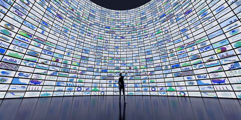 TV wall presenting financial chartsfavorite_border favorite
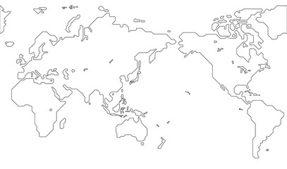 世界地図(簡略化されたアウトラインの世界地図)favorite_border favorite
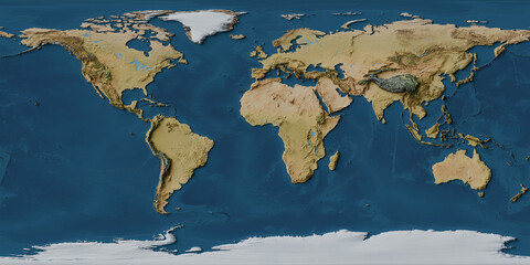 World map of land and ocean floor terrain with blended colors and satellite imageryfavorite_border favorite
 World map point and line composition concept of global business. Global network connection. Vector Illustration Free Vectorfavorite_border favorite
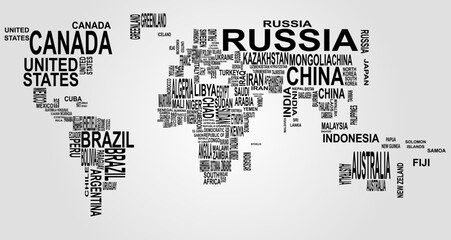 text mapfavorite_border favorite
 Dotted world map illustration on white backgroundfavorite_border favorite
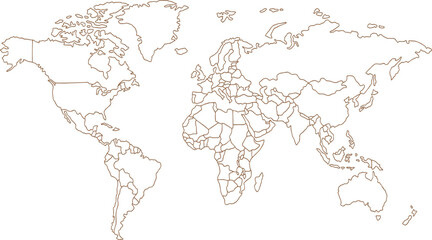 world map vector illustration, Black and White World Map Vector illustrationfavorite_border favorite
 world map Line art Illustration with boundaries of continents isolated silhouette stylizefavorite_border favorite
 A detailed representation of the world map featuring various political regions, displayed in a square grid pattern with different shades of blue, highlighting geographical boundaries.favorite_border favorite
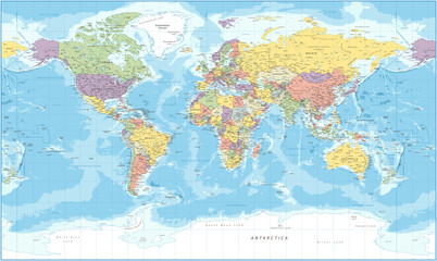 World Map - Political - Vector Detailed Illustrationfavorite_border favorite
 国境線のある六大陸の世界地図、大平洋、地球favorite_border favorite
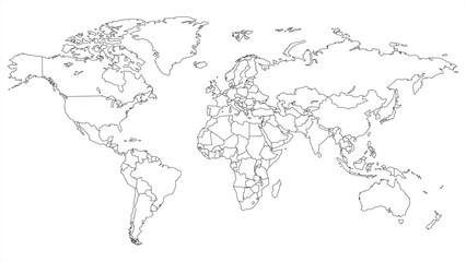 Simple outline of world map on transparent background, vector 10 eps.favorite_border favorite
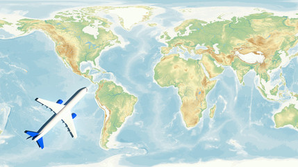 airplane on world map background. concept of plane travel. Empty space for text - booking a flight ticketfavorite_border favorite
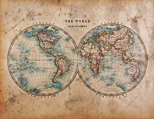 Old World Map in Hemispheresfavorite_border favorite
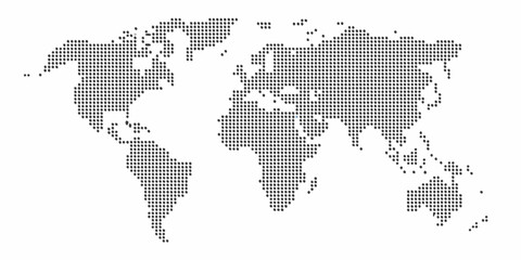 Pixelated world map illustration with continents and oceans clearly definedfavorite_border favorite
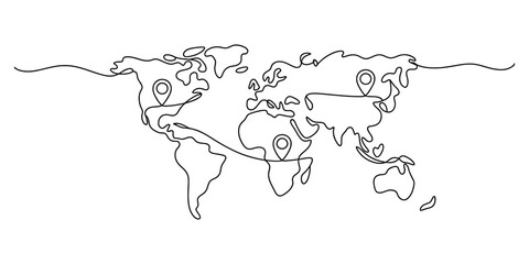 World map with location pins drawn in single line art style Vector, illustrationfavorite_border favorite
 グローバルネットワーク 世界地図とグラフfavorite_border favorite
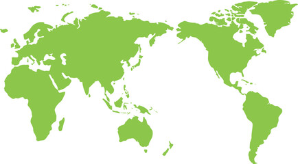 世界地図(日本中心)緑favorite_border favorite
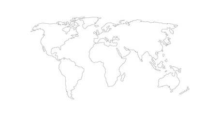 Vector Linear World Map, editable stroke. vector illustration isolated on white background.favorite_border favorite
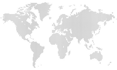 Vertical dotted world map in rectangular layout with geometric lines and halftone details. A digital representation of global continents. Ideal for business, atlas, or technology designs.favorite_border favorite
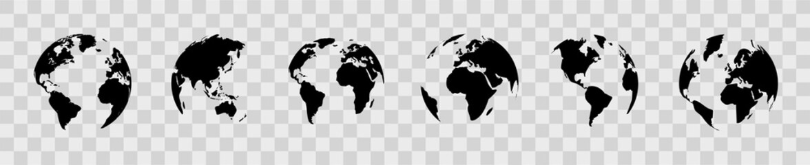 Earth globe set. World map in globe shape. Earth globes collection on isolated background. Flat style - stock vector.favorite_border favorite
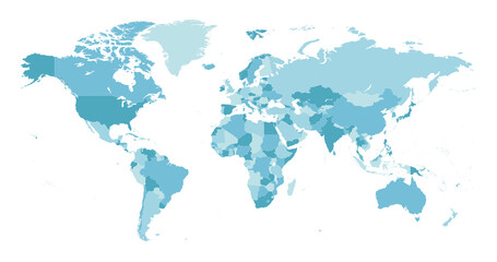 World Map. Highly detailed map of the world with detailed borders of all countries in blue colors. Vector illustrationfavorite_border favorite
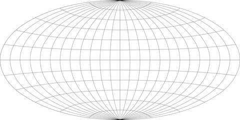 15-Degree world map graticule (latitude-longitude) grid vector in Aitoff projectionfavorite_border favorite
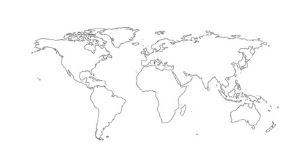 Detailed vector illustration of a world map showing continents, countries, and natural features oceans and seas .favorite_border favorite
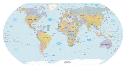 Highly detailed political World map. EPS 10 vectorfavorite_border favorite
 Polygon world map with blockchain technology peer to peer network on blue background. Network, p2p business, e-commerce, bitcoin trading and global cryptocurrency blockchain business banner concept.favorite_border favorite
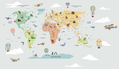 Children's map of the world with sights detailed greyfavorite_border favorite
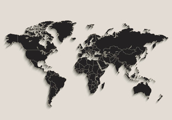 World map Black blackboard separate states individual vectorfavorite_border favorite
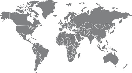 World Map with Highlighted Country Borders Vector Illustrationfavorite_border favorite
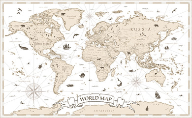 World Map Vintage Cartoon Detailed - vectorfavorite_border favorite
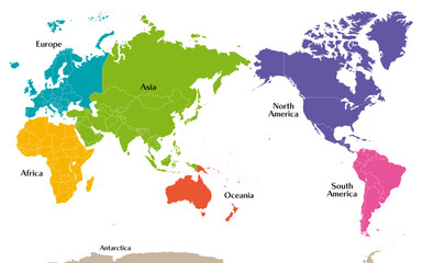 六州で色分けされた世界地図、ロシアをウラル山脈でアジアとヨーロッパに分割、パナマを北米と南米に分割、英語favorite_border favorite
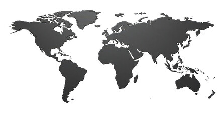 Isolated World Mapfavorite_border favorite
 Global Financial Data Connections Overlayed on World Map.favorite_border favorite
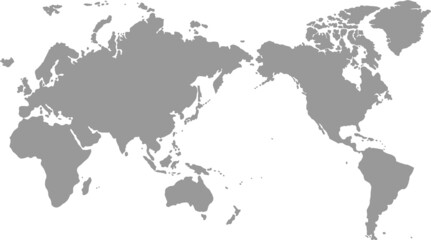 手書きの世界地図favorite_border favorite
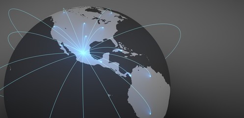 Envíos a todo el mundo desde México. Imágen del mundo con conexiones iluminadas.favorite_border favorite
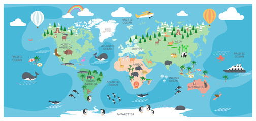 The world map with cartoon animals for kids, nature, discovery and continent name, ocean name, vector Illustration.favorite_border favorite
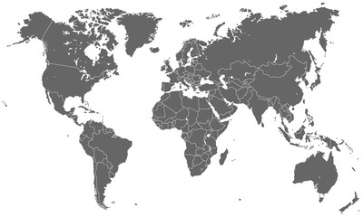 Weltkarte - Dunkelgrau (hoher Detailgrad)favorite_border favorite
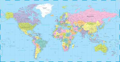 World Map Vintage Political - Vector Detailed Illustration - Layersfavorite_border favorite
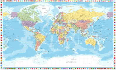 World Map Political and Flags - Vector Detailed Illustrationfavorite_border favorite
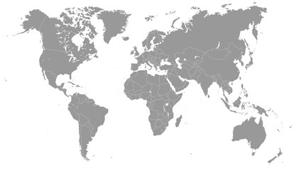 Grayscale World Map - illustrationfavorite_border favorite
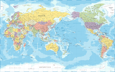 World Map - Pacific View - Asia China Center - Political Topographic - Detailed Illustrationfavorite_border favorite
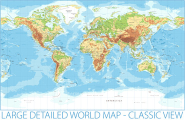 World Map - Physical Topographic - Vector Detailed Illustrationfavorite_border favorite
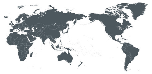 World Map Outline Contour Silhouette Borders - Asia in Centerfavorite_border favorite
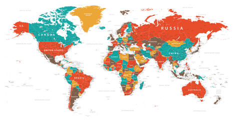 World Map Vintage Political - Detailed Illustration - Layersfavorite_border favorite
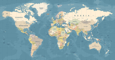 World Map Vector. Detailed illustration of worldmapfavorite_border favorite
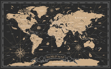 World Map Vintage Black Golden Detailed - Vectorfavorite_border favorite
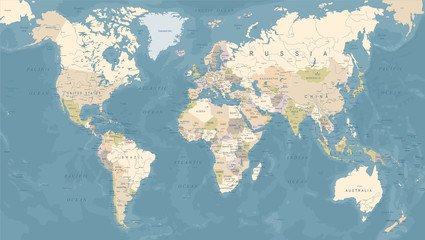 Vintage World Map - Vector Illustrationfavorite_border favorite
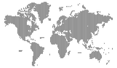 Vertical line shape dotted map of the Earth showcasing landmasses with clean vector design. Ideal for atlas projects and mapping symbols.favorite_border favorite
 World Map - Pacific China Asia Centered View - Blue Color Political - Vectorfavorite_border favorite
 Horizontal line shape vector world map art on a solid white background. World map in line shape silhouette viewfavorite_border favorite
 Dotted world map in a square shape. Continents with a dotted halftone pattern. Design for business and marketing materials representing continents and country with a unique square dot patternfavorite_border favorite
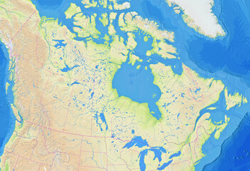 Map of Canada showing the region with relief representation, rivers, lakes, administrative boundaries and undersea relief. No labels at all.favorite_border favorite
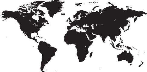 Black Silhouette of the World Map Showing Continents and Countries globe earth also transparent backgroundfavorite_border favorite
 Curved World Map Silhouette - Global Perspective Vector Illustrationfavorite_border favorite
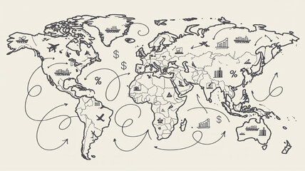 Hand-drawn world map with global trade routes and business icons illustrating international commerce and logistics concept for finance and travelfavorite_border favorite
 AnimalWorldMap_01favorite_border favorite
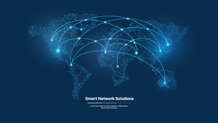 Global Digital Network Connections Map with Glowing Data Links, World Communication Technology and Big Data Exchange Concept on Blue Backgroundfavorite_border favorite
 World map of line art.favorite_border favorite
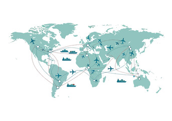 Global transportation network with airplanes and ships on a world mapfavorite_border favorite
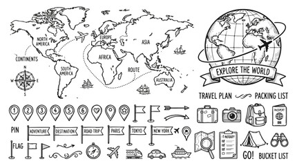 Travel and Adventure Elements Hand Drawn Icons and World Map Illustrationfavorite_border favorite
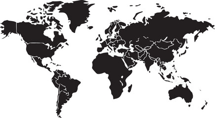 Detailed world map with white country outlines on black continents transparent backgroundfavorite_border favorite
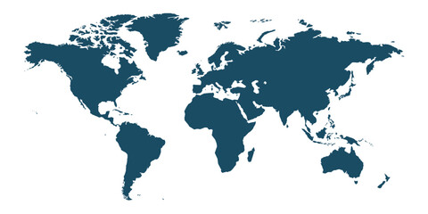 World map, earth icon svg cut file. Isolated vector illustration.favorite_border favorite
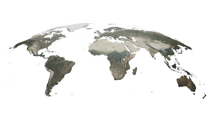 3D World Map Globe Perspective Terrain Background.3d renderingfavorite_border favorite
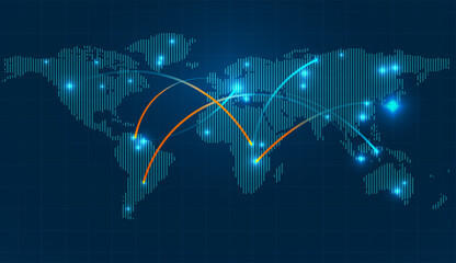 Global connections illustrated on a world map with interconnected lines representing networks and communication across continents, digital conceptfavorite_border favorite
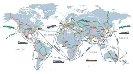 World Map with Shipping Routes Lines.favorite_border favorite
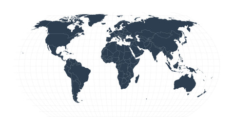 Professional World Map Vector with Graticule Grid, Navy Blue Political Map on Transparent Backgroundfavorite_border favorite
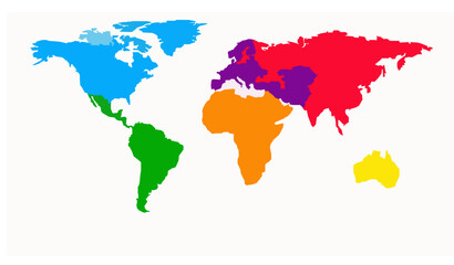 Colored World Political Map Flat Vector Illustrationfavorite_border favorite
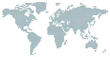 Global Connectivity: World map illustration created from dots, concept of digital and information technology. international connection, modern illustration, worldwide data, global communication.favorite_border favorite
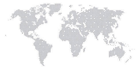 A dotted world map illustration showcasing continents and global connectionsfavorite_border favorite
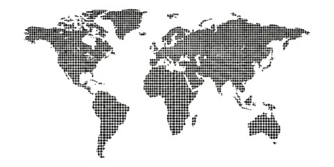 Black world map made of small square pixels and dots representing global geography and digital connectivity conceptsfavorite_border favorite
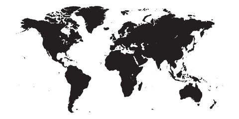 black world map on white backgroundfavorite_border favorite
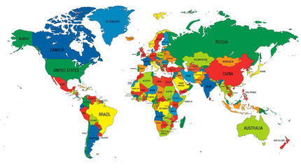 Colorful Political World Map with Country Names and Borders. Detailed 2D geographic illustration of the globe for education, travel, and business infographics.favorite_border favorite
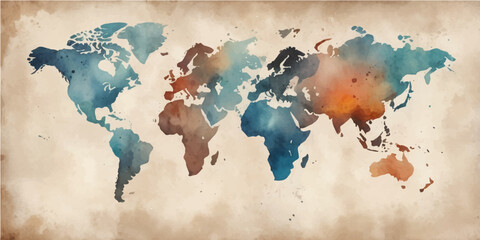 A vintage grunge world map illustration featuring global continents from America to Asia and Europe as a textured vector background for travel and geography designfavorite_border favorite
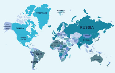 Illustrated world map showing all continents and major countries across the Earthfavorite_border favorite
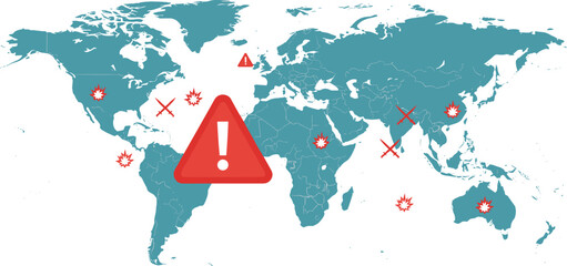 World map illustration with red warning symbols showing conflict zones, danger alerts, global hotspots, emergency risk areas, vector design conceptfavorite_border favorite
 World map clock showing time zones and continents with handsfavorite_border favorite
 pixel gradient world map, world map consisting of squaresfavorite_border favorite
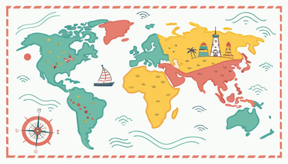 Colorful kids cartoon world map vector, simplified global geography design with animals and landmarks.favorite_border favorite
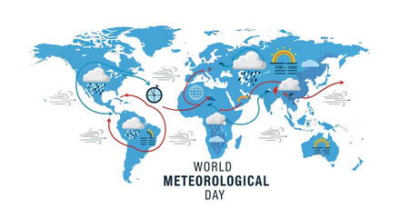 Illustration of a world map with weather symbols and routes on World Meteorological Day against a clean white background.favorite_border favorite
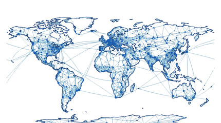 Global Network Connections World Map Digital Abstract Blue Linesfavorite_border favorite
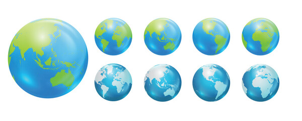 Globes showing earth with all continents. World map globe vector icons setfavorite_border favorite
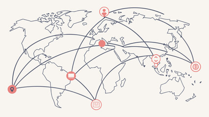 Global communication concept with interconnected world map vector.epsfavorite_border favorite
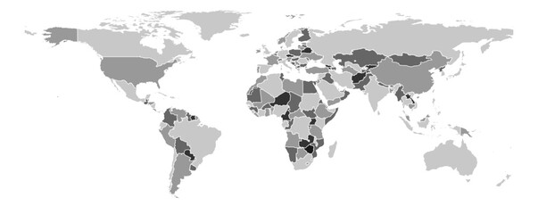 World map vector Equirectangular projection monochrome political puzzle graphic geometry silhouette shape national border design isolated transparent epsfavorite_border favorite
 Next-Generation AI Network Visualization Across a Connected World Mapfavorite_border favorite
 Outline World Map Vector, Global Continents, Political Borders, Blank Earth Illustrationfavorite_border favorite
 Premium Vector World Map Bundle: 3 Projections, 3D Globe and Flat Geographic Infographic in Business Bluefavorite_border favorite
 Global network connection. World map point and line composition concept of global business. Vector Illustrationfavorite_border favorite
 Minimalist abstract background featuring a world map created with halftone dot pattern in black and white.eps10favorite_border favorite
 Customizable World Map Standard (Plate Carr?e) - Equirectangularfavorite_border favorite
 Abstract Minimal Gray Topographic Contour Map with Flowing Elevation Lines, Seamless Terrain Pattern and Vintage Outdoors World Map Template Vector Graphic.favorite_border favorite
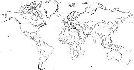 Printable Black and White World Map with Country Borders – High‑Resolution Vectorfavorite_border favorite
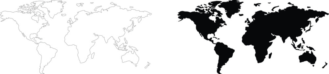 World map outline and black silhouette set, simplified global earth continents vector illustration on white backgroundfavorite_border favorite
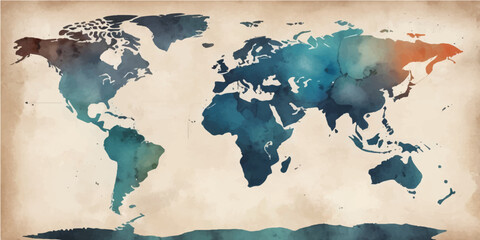 An artistic grunge watercolor world map illustration featuring vintage paper textures and continents like Europe, Asia, and America for a global geography travel atlas of the earthfavorite_border favorite
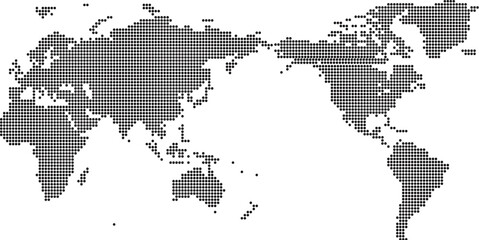 Asia-Pacific Centered World Map Vector - Minimalist Dotted Global Map with Japan and Australia at Center, Pixelated Earth Illustrationfavorite_border favorite
 Airplane flies glowing 3D world map with interconnected travel routes. Represents global air travel, aviation logistics, and international connectivity in a digital tech style.favorite_border favorite
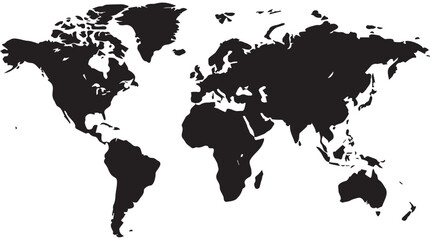 Monochromatic world map vector illustration showing continents and landmasses in solid black, isolated on a transparent background for global themes and geographical concepts.favorite_border favorite
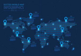 Futuristic Dotted World Map Infographic Glowing Node Network with Data Callouts for Global Business Visualizationfavorite_border favorite