-
Rest in the park map infographic elements in flat vector design. People spend time relax in nature. Men, women and children rest, jog, ride the bicycle, skateboard. Park map with tree, lamp, bench
Do ulubionych favorite_border
Usuń z ulubionych favorite
-
Location pin. Map pin flat icon vector design.
Do ulubionych favorite_border
Usuń z ulubionych favorite
-
Highly detailed street map of central London, UK
Do ulubionych favorite_border
Usuń z ulubionych favorite
-
Map mobile app planning travel. Isometric map. City map route, location symbols and navigational system mark. Vector, illustration isolated on white background.
Do ulubionych favorite_border
Usuń z ulubionych favorite
-
World map on white background. All countries in The World different colors. Can use for printing, website, presentation element, textile. World map vector illustration, high-resolution, travel.
Do ulubionych favorite_border
Usuń z ulubionych favorite
-
World map with sight, animals, landmarks. Global atlas for children, travel around planet. Continents of America, Australia, Africa, Europe, Asia, Antarctica. Vector illustration
Do ulubionych favorite_border
Usuń z ulubionych favorite
-
Simple (only sharp corners) map of Colombia vector drawing. Mercator projection. Filled and outline version.
Do ulubionych favorite_border
Usuń z ulubionych favorite
-
360 degree full panorama environment map of black abstract twist vortex whirl round geometric shape building interior 3d render illustration hdri hdr vr virtual reality
Do ulubionych favorite_border
Usuń z ulubionych favorite
-
Black silhouette map of United States of America
Do ulubionych favorite_border
Usuń z ulubionych favorite
-
Set of Vector Black and Blue location pin icons. Map marker pointer symbols, GPS location. Navigation map, location navigation icon, geo location point
Do ulubionych favorite_border
Usuń z ulubionych favorite
-
Do ulubionych favorite_border
Usuń z ulubionych favorite
-
Map of Warszawa city. Roads
Do ulubionych favorite_border
Usuń z ulubionych favorite
-
set of 4 political maps of Saudi Arabia with regions isolated on white background
Do ulubionych favorite_border
Usuń z ulubionych favorite
-
Scotland map vector, isolated on white background. Black template, flat earth. Simplified, generalized with round corners.
Do ulubionych favorite_border
Usuń z ulubionych favorite
-
Urban vector city map of Yokohama, Japan
Do ulubionych favorite_border
Usuń z ulubionych favorite
-
Kolekcja polskich panoram, duże miasta w Polsce, wschodnia europa, Szczecin, Kraków, Wrocław, Lublin, Olsztyn, Warszawa, Bydgoszcz, Poznań, Gdańsk
Do ulubionych favorite_border
Usuń z ulubionych favorite
-
Poland country on world map, vector template
Do ulubionych favorite_border
Usuń z ulubionych favorite
-
Blue thumbtack marking and showing destination location point on map background with copy space
Do ulubionych favorite_border
Usuń z ulubionych favorite
-
World map of country borders and time zone lines
Do ulubionych favorite_border
Usuń z ulubionych favorite
-
Do ulubionych favorite_border
Usuń z ulubionych favorite
-
Do ulubionych favorite_border
Usuń z ulubionych favorite
-
Curved World Map Vector Isolated Design
Do ulubionych favorite_border
Usuń z ulubionych favorite
-
Detailed map of New York City, USA
Do ulubionych favorite_border
Usuń z ulubionych favorite
-
Spain 3d map with borders Template for your design
Do ulubionych favorite_border
Usuń z ulubionych favorite
-
Physical map of North America, USA, Canada and Mexico, with high resolution details. Satellite view of Planet Earth. 3D illustration - Elements of this image furnished by NASA
Do ulubionych favorite_border
Usuń z ulubionych favorite
-
Route location dotted line with pointer map design vector
Do ulubionych favorite_border
Usuń z ulubionych favorite
-
Hand-drawn map illustration, Travel element, Adventure theme
Do ulubionych favorite_border
Usuń z ulubionych favorite
-
Vintage map of Europe, vector ancient parchment with european continent, mountain ranges, rivers and lakes, ocean wind rose, mythological sea beasts, ship, medieval territory on aged old paper
Do ulubionych favorite_border
Usuń z ulubionych favorite
-
South america map illustration
Do ulubionych favorite_border
Usuń z ulubionych favorite
-
Location tracker dashboard with data of arrive time. City street road with pins on map and alternative ways. Isometric street roads and location, vector background. Huge city top view.
Do ulubionych favorite_border
Usuń z ulubionych favorite
-
Ukraine vector map with flag, globe and icons on white background
Do ulubionych favorite_border
Usuń z ulubionych favorite
-
Do ulubionych favorite_border
Usuń z ulubionych favorite
-
Do ulubionych favorite_border
Usuń z ulubionych favorite
-
outline scandinavian map icon set isolated on white background
Do ulubionych favorite_border
Usuń z ulubionych favorite
-
Brazil map detailed in outline, yellow, green, dotted style
Do ulubionych favorite_border
Usuń z ulubionych favorite
-
Abstract of spain map network, internet and global connection concept, Wire Frame 3D mesh polygonal network line, design sphere, dot and structure. Vector illustration eps 10.
Do ulubionych favorite_border
Usuń z ulubionych favorite
-
Do ulubionych favorite_border
Usuń z ulubionych favorite
-
Political map of North American countries Canada, United States of America, Mexico with administrative divisions. Central American Countries and Caribbean Region. Colorful blank map. Vector
Do ulubionych favorite_border
Usuń z ulubionych favorite
-
Abstract image Poland map from point blue and glowing stars on a dark background. vector illustration.
Do ulubionych favorite_border
Usuń z ulubionych favorite
-
Detailed map of the Asia-Pacific region, highlighting countries
Do ulubionych favorite_border
Usuń z ulubionych favorite
-
Italy map – vector illustration of regions and political borders
Do ulubionych favorite_border
Usuń z ulubionych favorite
-
dynamic digital world map emphasize Western Europe continental for AI powered global network connectivity big data transfer cyber technology network information exchange telecommunication concept.
Do ulubionych favorite_border
Usuń z ulubionych favorite
-
Vector isolated illustration of simplified political map of some scandinavian countries (Sweden, Finland, Norway, Denmark) and nearest areas. Borders of the states. Grey silhouettes. White outline
Do ulubionych favorite_border
Usuń z ulubionych favorite
-
Earth globe. World map set. Planet with continents. Vector Illustration
Do ulubionych favorite_border
Usuń z ulubionych favorite
-
world map illustration night
Do ulubionych favorite_border
Usuń z ulubionych favorite
-
Greece map with main regions. Map of Greece
Do ulubionych favorite_border
Usuń z ulubionych favorite
-
Do ulubionych favorite_border
Usuń z ulubionych favorite
-
Ancient pirate map on old paper with red path to treasure
Do ulubionych favorite_border
Usuń z ulubionych favorite
-
Vector road map of the city of Seattle Washington in the United States of America with white roads on a black background.
Do ulubionych favorite_border
Usuń z ulubionych favorite
-
Dubai vector map. Detailed black map of Dubai city poster with streets. Cityscape urban vector.
Do ulubionych favorite_border
Usuń z ulubionych favorite
-
Miniature tourists in China. Color tone tuned.
Do ulubionych favorite_border
Usuń z ulubionych favorite
-
Map of France icon collection, country and geography, France map sign vector set graphics, editable stroke linear icon, eps 10
Do ulubionych favorite_border
Usuń z ulubionych favorite
-
Fantasy medieval cartography map elements, vector, drawing symbols, line art illustration
Do ulubionych favorite_border
Usuń z ulubionych favorite
-
Global network connection. World map point and line composition concept of global business. Vector Illustration
Do ulubionych favorite_border
Usuń z ulubionych favorite
-
Layered editable vector illustration outline of London city map.
Do ulubionych favorite_border
Usuń z ulubionych favorite
-
Flag on the map of philippines. Vintage Map and Flag of South Asia Countries Series 3D Rendering
Do ulubionych favorite_border
Usuń z ulubionych favorite
-
Black map country of Cyprus
Do ulubionych favorite_border
Usuń z ulubionych favorite
-
Do ulubionych favorite_border
Usuń z ulubionych favorite
-
Vector city map of New York
Do ulubionych favorite_border
Usuń z ulubionych favorite
-
India Political Map Vector Set with States
Do ulubionych favorite_border
Usuń z ulubionych favorite
-
High Quality map of Warsaw is a capital Poland, with borders of the districts. Map of Warsaw for your web site design, app, UI. EPS10.
Do ulubionych favorite_border
Usuń z ulubionych favorite
-
Map of the United States with state borders and names. USA map template. United States of America map isolated on white background. Vector illustration
Do ulubionych favorite_border
Usuń z ulubionych favorite
-
Map of USA with state abbreviations
Do ulubionych favorite_border
Usuń z ulubionych favorite
-
Sweden 3d map with borders Template for your design
Do ulubionych favorite_border
Usuń z ulubionych favorite
-
political map of New Zealand isolated on white background
Do ulubionych favorite_border
Usuń z ulubionych favorite
-
Sweden map with selected regions in black color on a white background
Do ulubionych favorite_border
Usuń z ulubionych favorite
-
Map icon set. Included the icons as location, area, navigation, navigator, direction and more.
Do ulubionych favorite_border
Usuń z ulubionych favorite
-
Do ulubionych favorite_border
Usuń z ulubionych favorite
-
Do ulubionych favorite_border
Usuń z ulubionych favorite
-
Blue map of Brisbane city, linear print map. Cityscape panorama.
Do ulubionych favorite_border
Usuń z ulubionych favorite
-
poland map 3D illustration
Do ulubionych favorite_border
Usuń z ulubionych favorite
-
Do ulubionych favorite_border
Usuń z ulubionych favorite
-
Treasure map element. A dashed line and red X mark ink on the map, the treasure map with a dotted line, an X marks the spot, and the dashed line to a black X
Do ulubionych favorite_border
Usuń z ulubionych favorite
-
Old map isolated on white background, compass, vector illustration
Do ulubionych favorite_border
Usuń z ulubionych favorite
-
Set of travel posters with Barcelona, detailed urban street plan city map, Silhouette city skyline places of interest, vector artwork
Do ulubionych favorite_border
Usuń z ulubionych favorite
-
Detailed map of the Asia-Pacific region, highlighting countries
Do ulubionych favorite_border
Usuń z ulubionych favorite
-
Great city map creator.Seamless pattern map and Houses, infrastructure, industrial, transport, village and countryside set. Make your perfect city
Do ulubionych favorite_border
Usuń z ulubionych favorite
-
Futuristic Europe outline connectivity map with lines, stars, triangles, light particles framework.
Do ulubionych favorite_border
Usuń z ulubionych favorite
-
Urban vector city map of Lodz, Poland
Do ulubionych favorite_border
Usuń z ulubionych favorite
-
Latin America isolated on white background. for website layouts, reports, annual infographics, world,travel around the world, map silhouette backdrop.
Do ulubionych favorite_border
Usuń z ulubionych favorite
-
Blank map of Canada. High quality map of Canada with provinces on transparent background for your web site design, logo, app, UI. America. EPS10.
Do ulubionych favorite_border
Usuń z ulubionych favorite
-
3D top view of a map with destination location point 004
Do ulubionych favorite_border
Usuń z ulubionych favorite
-
Do ulubionych favorite_border
Usuń z ulubionych favorite
-
Vector world map infographic symbol. Blue pink circle gradient icon on transparent background. International global illustration sign. Design element for business, web, presentation, data report
Do ulubionych favorite_border
Usuń z ulubionych favorite
-
vector illustartion of gray colored world map outline on white background
Do ulubionych favorite_border
Usuń z ulubionych favorite
-
North American Countries Map. The main boundary map of Canada, the United States.
Do ulubionych favorite_border
Usuń z ulubionych favorite
-
Do ulubionych favorite_border
Usuń z ulubionych favorite
-
Black and white vector city map of Manchester with well organized separated layers.
Do ulubionych favorite_border
Usuń z ulubionych favorite
-
Do ulubionych favorite_border
Usuń z ulubionych favorite
-
Simple map of Poland with voivodeships on white.
Do ulubionych favorite_border
Usuń z ulubionych favorite
-
Texas map icon set. Texas map symbol isolated on white background.
Do ulubionych favorite_border
Usuń z ulubionych favorite
-
USA map states. Vector line design. High detailed USA map. Labeled with postal abbreviatations. Stock vector.
Do ulubionych favorite_border
Usuń z ulubionych favorite
-
Europe 3d map with gps pins isolated on white background - Vector
Do ulubionych favorite_border
Usuń z ulubionych favorite
-
vintage map of the world 1814..
Do ulubionych favorite_border
Usuń z ulubionych favorite
-
Do ulubionych favorite_border
Usuń z ulubionych favorite
-
Divided fill, stroke with fill and dotted USA map vector illustration
Do ulubionych favorite_border
Usuń z ulubionych favorite
-
benelux map set isolated on white background.netherlands Luxembourg Belgium map
Do ulubionych favorite_border
Usuń z ulubionych favorite
-
Vector Map - Blue Geometric Rumpled Triangular. Low poly map of Afghanistan. contour/shape map isolated on white background.
Do ulubionych favorite_border
Usuń z ulubionych favorite
-
Urban vector city map of Vancouver, Canada
Do ulubionych favorite_border
Usuń z ulubionych favorite
-
Do ulubionych favorite_border
Usuń z ulubionych favorite
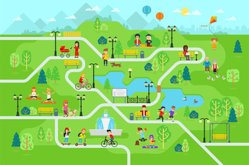 Rest in the park map infographic elements in flat vector design. People spend time relax in nature. Men, women and children rest, jog, ride the bicycle, skateboard. Park map with tree, lamp, benchfavorite_border favorite
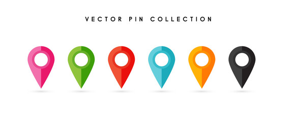 Location pin. Map pin flat icon vector design.favorite_border favorite
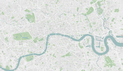 Highly detailed street map of central London, UKfavorite_border favorite
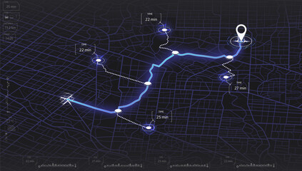 Map mobile app planning travel. Isometric map. City map route, location symbols and navigational system mark. Vector, illustration isolated on white background.favorite_border favorite
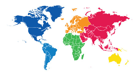 World map on white background. All countries in The World different colors. Can use for printing, website, presentation element, textile. World map vector illustration, high-resolution, travel.favorite_border favorite
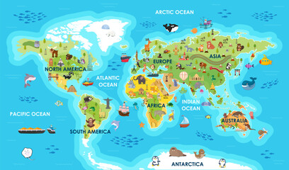 World map with sight, animals, landmarks. Global atlas for children, travel around planet. Continents of America, Australia, Africa, Europe, Asia, Antarctica. Vector illustrationfavorite_border favorite
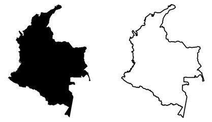 Simple (only sharp corners) map of Colombia vector drawing. Mercator projection. Filled and outline version.favorite_border favorite
 360 degree full panorama environment map of black abstract twist vortex whirl round geometric shape building interior 3d render illustration hdri hdr vr virtual realityfavorite_border favorite
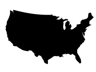 Black silhouette map of United States of Americafavorite_border favorite
 Set of Vector Black and Blue location pin icons. Map marker pointer symbols, GPS location. Navigation map, location navigation icon, geo location pointfavorite_border favorite
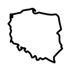 Mapa Polski - konturyfavorite_border favorite
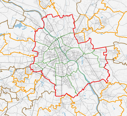 Map of Warszawa city. Roadsfavorite_border favorite
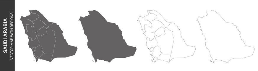 set of 4 political maps of Saudi Arabia with regions isolated on white backgroundfavorite_border favorite
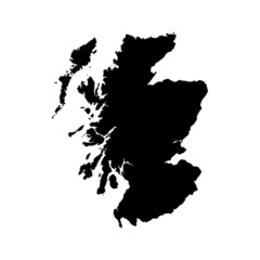 Scotland map vector, isolated on white background. Black template, flat earth. Simplified, generalized with round corners.favorite_border favorite
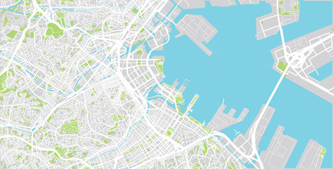 Urban vector city map of Yokohama, Japanfavorite_border favorite
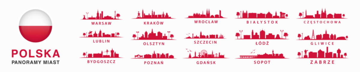 Kolekcja polskich panoram, duże miasta w Polsce, wschodnia europa, Szczecin, Kraków, Wrocław, Lublin, Olsztyn, Warszawa, Bydgoszcz, Poznań, Gdańskfavorite_border favorite
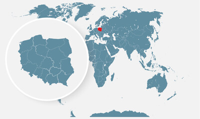 Poland country on world map, vector templatefavorite_border favorite
 Blue thumbtack marking and showing destination location point on map background with copy spacefavorite_border favorite
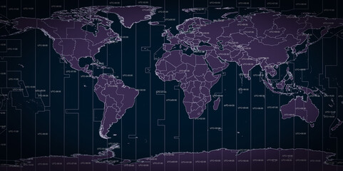 World map of country borders and time zone linesfavorite_border favorite
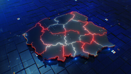 Poland map digital 4kfavorite_border favorite
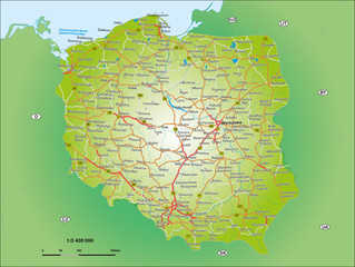 Polen 1_3,4 Miofavorite_border favorite
 Curved World Map Vector Isolated Designfavorite_border favorite
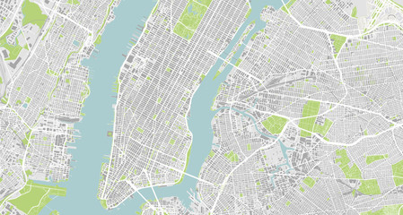 Detailed map of New York City, USAfavorite_border favorite
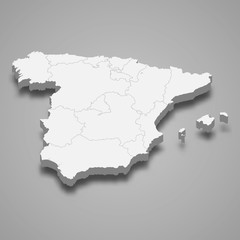 Spain 3d map with borders Template for your designfavorite_border favorite
 Physical map of North America, USA, Canada and Mexico, with high resolution details. Satellite view of Planet Earth. 3D illustration - Elements of this image furnished by NASAfavorite_border favorite
 Route location dotted line with pointer map design vectorfavorite_border favorite
 Hand-drawn map illustration, Travel element, Adventure themefavorite_border favorite
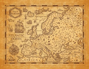 Vintage map of Europe, vector ancient parchment with european continent, mountain ranges, rivers and lakes, ocean wind rose, mythological sea beasts, ship, medieval territory on aged old paperfavorite_border favorite
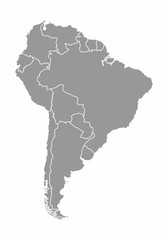 South america map illustrationfavorite_border favorite
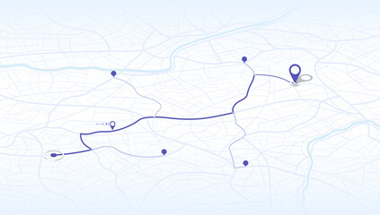 Location tracker dashboard with data of arrive time. City street road with pins on map and alternative ways. Isometric street roads and location, vector background. Huge city top view.favorite_border favorite
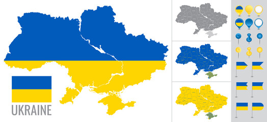 Ukraine vector map with flag, globe and icons on white backgroundfavorite_border favorite
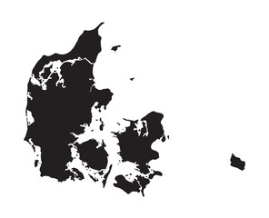 black map of Denmarkfavorite_border favorite
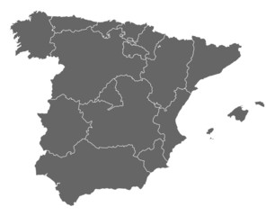 Map of Spainfavorite_border favorite
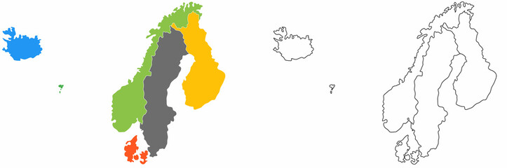 outline scandinavian map icon set isolated on white backgroundfavorite_border favorite
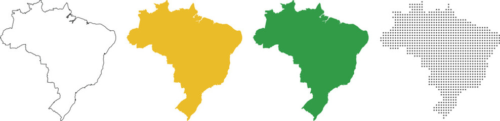 Brazil map detailed in outline, yellow, green, dotted stylefavorite_border favorite
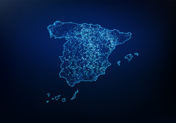 Abstract of spain map network, internet and global connection concept, Wire Frame 3D mesh polygonal network line, design sphere, dot and structure. Vector illustration eps 10.favorite_border favorite
 Navigation mapfavorite_border favorite
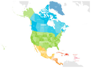 Political map of North American countries Canada, United States of America, Mexico with administrative divisions. Central American Countries and Caribbean Region. Colorful blank map. Vectorfavorite_border favorite
 Abstract image Poland map from point blue and glowing stars on a dark background. vector illustration.favorite_border favorite
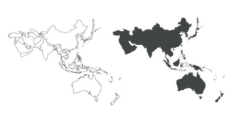 Detailed map of the Asia-Pacific region, highlighting countriesfavorite_border favorite
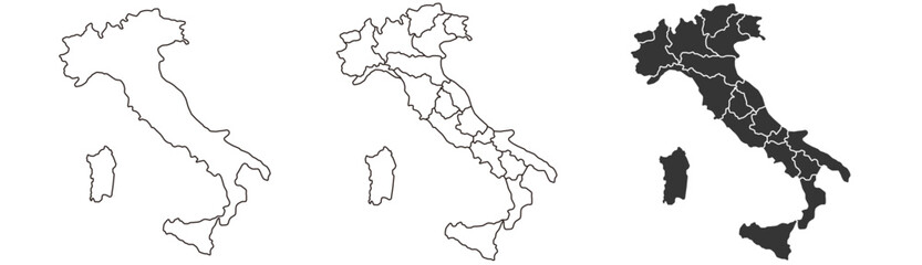 Italy map – vector illustration of regions and political bordersfavorite_border favorite
 dynamic digital world map emphasize Western Europe continental for AI powered global network connectivity big data transfer cyber technology network information exchange telecommunication concept.favorite_border favorite
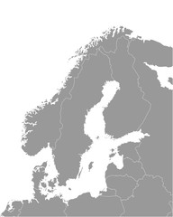 Vector isolated illustration of simplified political map of some scandinavian countries (Sweden, Finland, Norway, Denmark) and nearest areas. Borders of the states. Grey silhouettes. White outlinefavorite_border favorite
 Earth globe. World map set. Planet with continents. Vector Illustrationfavorite_border favorite
 world map illustration nightfavorite_border favorite
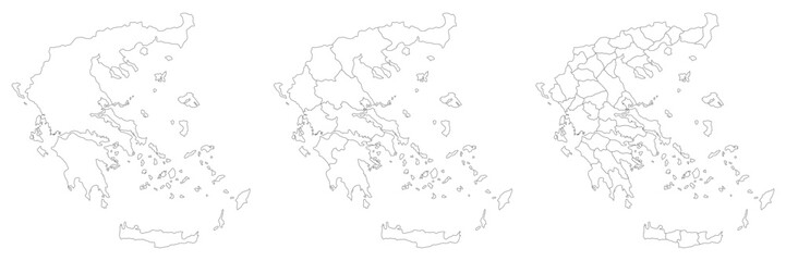 Greece map with main regions. Map of Greecefavorite_border favorite
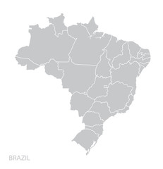 Map of Brazilfavorite_border favorite
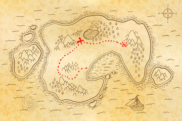 Ancient pirate map on old paper with red path to treasurefavorite_border favorite
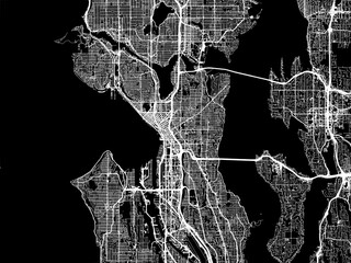 Vector road map of the city of Seattle Washington in the United States of America with white roads on a black background.favorite_border favorite
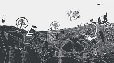 Dubai vector map. Detailed black map of Dubai city poster with streets. Cityscape urban vector.favorite_border favorite
 Miniature tourists in China. Color tone tuned.favorite_border favorite
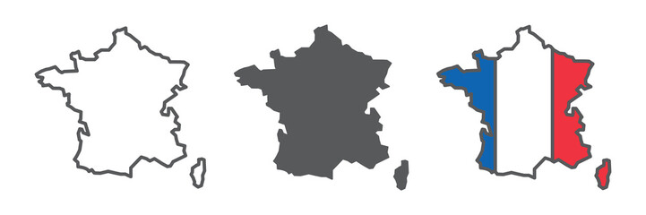 Map of France icon collection, country and geography, France map sign vector set graphics, editable stroke linear icon, eps 10favorite_border favorite
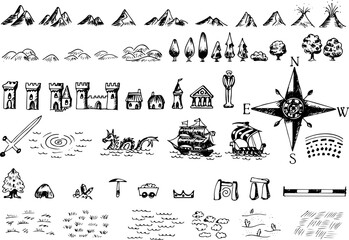 Fantasy medieval cartography map elements, vector, drawing symbols, line art illustrationfavorite_border favorite
 Global network connection. World map point and line composition concept of global business. Vector Illustrationfavorite_border favorite
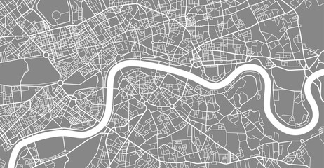 Layered editable vector illustration outline of London city map.favorite_border favorite
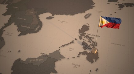 Flag on the map of philippines. Vintage Map and Flag of South Asia Countries Series 3D Renderingfavorite_border favorite
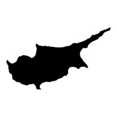 Black map country of Cyprusfavorite_border favorite
 Europe black outline mapfavorite_border favorite
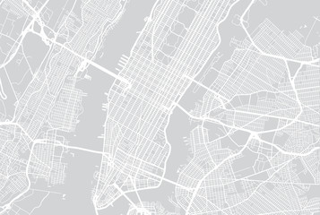 Vector city map of New Yorkfavorite_border favorite
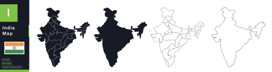 India Political Map Vector Set with Statesfavorite_border favorite
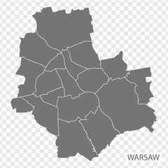 High Quality map of Warsaw is a capital Poland, with borders of the districts. Map of Warsaw for your web site design, app, UI. EPS10.favorite_border favorite
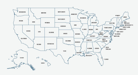 Map of the United States with state borders and names. USA map template. United States of America map isolated on white background. Vector illustrationfavorite_border favorite
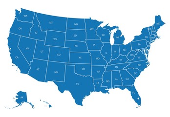 Map of USA with state abbreviationsfavorite_border favorite
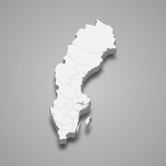 Sweden 3d map with borders Template for your designfavorite_border favorite
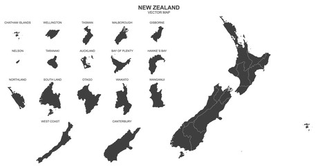 political map of New Zealand isolated on white backgroundfavorite_border favorite
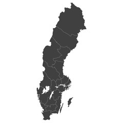 Sweden map with selected regions in black color on a white backgroundfavorite_border favorite
 Map icon set. Included the icons as location, area, navigation, navigator, direction and more.favorite_border favorite
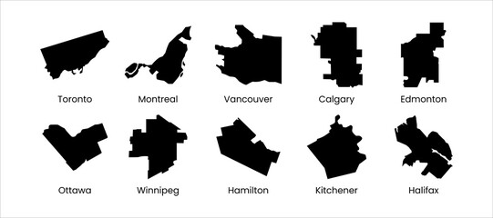 Canada city mapfavorite_border favorite
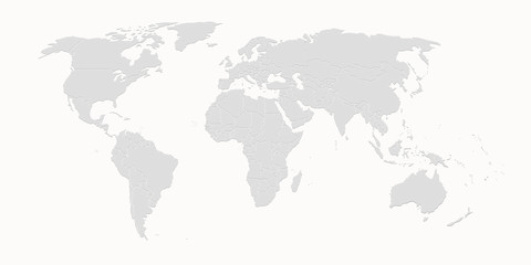 World mapfavorite_border favorite
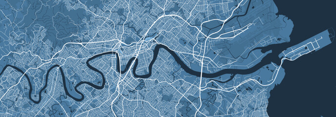 Blue map of Brisbane city, linear print map. Cityscape panorama.favorite_border favorite
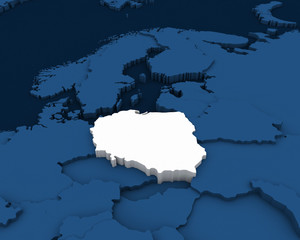 poland map 3D illustrationfavorite_border favorite
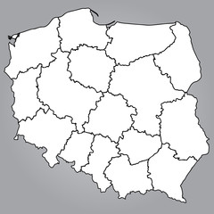 Mapa Polski Województwafavorite_border favorite
 Treasure map element. A dashed line and red X mark ink on the map, the treasure map with a dotted line, an X marks the spot, and the dashed line to a black Xfavorite_border favorite
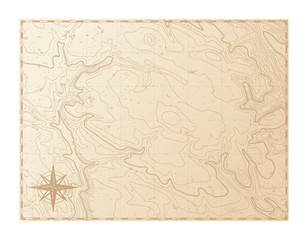 Old map isolated on white background, compass, vector illustrationfavorite_border favorite
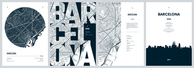 Set of travel posters with Barcelona, detailed urban street plan city map, Silhouette city skyline places of interest, vector artworkfavorite_border favorite
 Detailed map of the Asia-Pacific region, highlighting countriesfavorite_border favorite
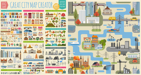 Great city map creator.Seamless pattern map and Houses, infrastructure, industrial, transport, village and countryside set. Make your perfect cityfavorite_border favorite
 Futuristic Europe outline connectivity map with lines, stars, triangles, light particles framework.favorite_border favorite
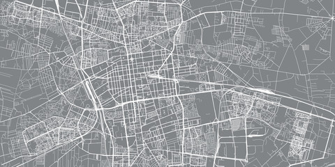 Urban vector city map of Lodz, Polandfavorite_border favorite
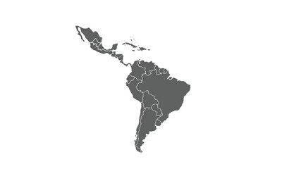 Latin America isolated on white background. for website layouts, reports, annual infographics, world,travel around the world, map silhouette backdrop.favorite_border favorite
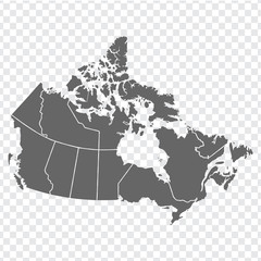 Blank map of Canada. High quality map of Canada with provinces on transparent background for your web site design, logo, app, UI. America. EPS10.favorite_border favorite
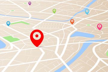 3D top view of a map with destination location point 004favorite_border favorite
 Mapa Europy - konturyfavorite_border favorite
 Vector world map infographic symbol. Blue pink circle gradient icon on transparent background. International global illustration sign. Design element for business, web, presentation, data reportfavorite_border favorite
 vector illustartion of gray colored world map outline on white backgroundfavorite_border favorite
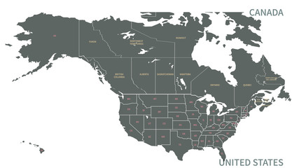 North American Countries Map. The main boundary map of Canada, the United States.favorite_border favorite
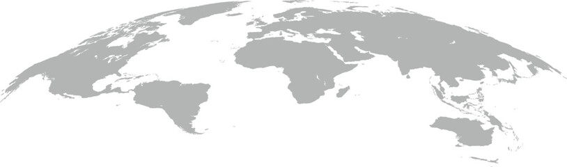 world mapfavorite_border favorite
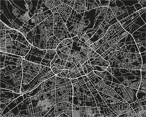 Black and white vector city map of Manchester with well organized separated layers.favorite_border favorite
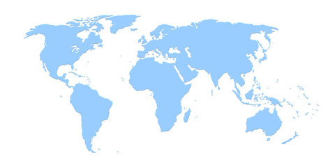 World mapfavorite_border favorite
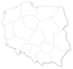 Simple map of Poland with voivodeships on white.favorite_border favorite
 Texas map icon set. Texas map symbol isolated on white background.favorite_border favorite
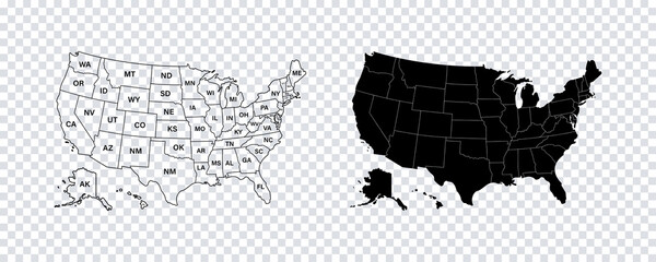 USA map states. Vector line design. High detailed USA map. Labeled with postal abbreviatations. Stock vector.favorite_border favorite
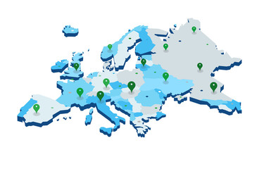 Europe 3d map with gps pins isolated on white background - Vectorfavorite_border favorite
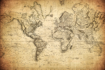 vintage map of the world 1814..favorite_border favorite
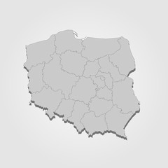 Landkarte Polen in graufavorite_border favorite
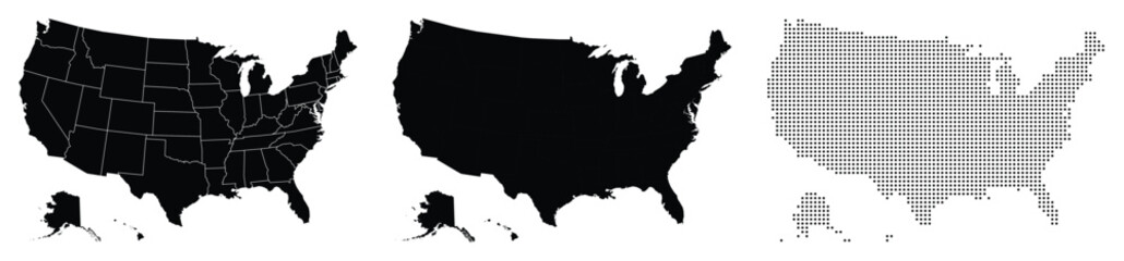 Divided fill, stroke with fill and dotted USA map vector illustrationfavorite_border favorite
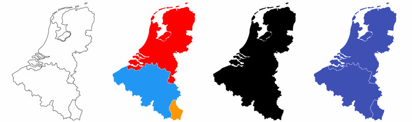 benelux map set isolated on white background.netherlands Luxembourg Belgium mapfavorite_border favorite
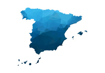 Vector Map - Blue Geometric Rumpled Triangular. Low poly map of Afghanistan. contour/shape map isolated on white background.favorite_border favorite
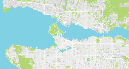 Urban vector city map of Vancouver, Canadafavorite_border favorite
 Map of italyfavorite_border favorite