-
map of Switzerland. vector illustration
Do ulubionych favorite_border
Usuń z ulubionych favorite
-
Do ulubionych favorite_border
Usuń z ulubionych favorite
-
Set of map pin location icons. Modern map markers. Map pin place marker. Location icon. Map marker pointer icon set.
Do ulubionych favorite_border
Usuń z ulubionych favorite
-
Abstract image Brazil map from point blue and glowing stars on a dark background. vector illustration.
Do ulubionych favorite_border
Usuń z ulubionych favorite
-
The Bronx map poster. New York city borough street map. Cityscape aria panorama.
Do ulubionych favorite_border
Usuń z ulubionych favorite
-
World map with countries borders and red location pointers.
Do ulubionych favorite_border
Usuń z ulubionych favorite
-
World map. Highly detailed map of the world with detailed borders of all countries, cities and bodies of water. Vector map in brown and green colors.
Do ulubionych favorite_border
Usuń z ulubionych favorite
-
Colorful detailed vector map of the European country.
Do ulubionych favorite_border
Usuń z ulubionych favorite
-
Orel city map - town streets on the plan. Map of the scheme of road. Urban environment, architectural background. Vector
Do ulubionych favorite_border
Usuń z ulubionych favorite
-
Fictional city map navigation with rivers and parks.
Do ulubionych favorite_border
Usuń z ulubionych favorite
-
Vector color detailed map of Netherlands with the administrative divisions of the country, each Provinces is presented separately and divided into Municipalities
Do ulubionych favorite_border
Usuń z ulubionych favorite
-
Road map and journey route infographics template. Winding road timeline illustration. Flat vector illustration. Eps 10
Do ulubionych favorite_border
Usuń z ulubionych favorite
-
World map with Visas, Stamps, Seals. Travel concept
Do ulubionych favorite_border
Usuń z ulubionych favorite
-
Three-dimensional map of Spain. 3d
Do ulubionych favorite_border
Usuń z ulubionych favorite
-
Line pattern seamless map topography background. Contour texture wood topographic abstract curves vector. Mountain compass cartography with linear wavy wind map.
Do ulubionych favorite_border
Usuń z ulubionych favorite
-
Old vintage map of caribbean sea. Vector worn parchment with ships, islands and land, wind rose and cardinal points. Fantasy world, vintage grunge paper, pirate map with travel locations and monsters
Do ulubionych favorite_border
Usuń z ulubionych favorite
-
Telecomunicaciones globales y computación en la nube. Ilustración 3d del concepto de red e internet y mapa mundial.
Do ulubionych favorite_border
Usuń z ulubionych favorite
-
old nautical treasure map background
Do ulubionych favorite_border
Usuń z ulubionych favorite
-
New zealand map in various style outline, black, blue, and dotted
Do ulubionych favorite_border
Usuń z ulubionych favorite
-
Do ulubionych favorite_border
Usuń z ulubionych favorite
-
Norway black map on white background vector
Do ulubionych favorite_border
Usuń z ulubionych favorite
-
World map projection is showing continents, oceans, ice caps in flat design, transparent background
Do ulubionych favorite_border
Usuń z ulubionych favorite
-
Abstract geometric futuristic concept 3d Map of Malaysia with borders as scribble, blue neon style. 3d rendering
Do ulubionych favorite_border
Usuń z ulubionych favorite
-
Abstract image Brazil map from point Gray and glowing stars on a dark background. Vector illustration eps 10.
Do ulubionych favorite_border
Usuń z ulubionych favorite
-
France map municipal, region, state division. Administrative borders, outline black on white background vector.
Do ulubionych favorite_border
Usuń z ulubionych favorite
-
Do ulubionych favorite_border
Usuń z ulubionych favorite
-
Abstract map of United Kingdom with circle lines
Do ulubionych favorite_border
Usuń z ulubionych favorite
-
Pirate map with mythological creatures, old vessels, compass and treasure islands. Pirate adventures, treasure hunt and old transportation concept. Hand drawn vector illustration, vintage background
Do ulubionych favorite_border
Usuń z ulubionych favorite
-
Vector fill, stroke with fill and dotted USA California map
Do ulubionych favorite_border
Usuń z ulubionych favorite
-
Monochrome city map with road network of Amsterdam
Do ulubionych favorite_border
Usuń z ulubionych favorite
-
Vector color detailed map of Finland with administrative divisions of the country, each region is presented separately with high detail divided into districts and sub-regions
Do ulubionych favorite_border
Usuń z ulubionych favorite
-
Location Spain. Red pin on the map.
Do ulubionych favorite_border
Usuń z ulubionych favorite
-
Do ulubionych favorite_border
Usuń z ulubionych favorite
-
World map infographic template. 3d isometric. Vector
Do ulubionych favorite_border
Usuń z ulubionych favorite
-
Detail world map with national borders, 3d render
Do ulubionych favorite_border
Usuń z ulubionych favorite
-
Detailed silhouette map of the united kingdom and ireland showing coastlines and islands. vector design. Silhouette vector design illustration
Do ulubionych favorite_border
Usuń z ulubionych favorite
-
City map with red pin of GPS location. 3d vector illustration
Do ulubionych favorite_border
Usuń z ulubionych favorite
-
Vector map of Poland. Country map with division, cities and capital Warsaw. Political map, world map, infographic elements.
Do ulubionych favorite_border
Usuń z ulubionych favorite
-
Geographical map of Norway isolated on white background
Do ulubionych favorite_border
Usuń z ulubionych favorite
-
set of 4 political maps of Thailand with regions isolated on white background
Do ulubionych favorite_border
Usuń z ulubionych favorite
-
California map on white background vector
Do ulubionych favorite_border
Usuń z ulubionych favorite
-
Detailed vector map of Madrid, Spain
Do ulubionych favorite_border
Usuń z ulubionych favorite
-
Find your way. Location marking with a pin on a map with routes. Adventure, discovery, navigation, communication, logistics, geography, transport and travel theme concept background.
Do ulubionych favorite_border
Usuń z ulubionych favorite
-
Urban vector city map of Amsterdam, The Netherlands
Do ulubionych favorite_border
Usuń z ulubionych favorite
-
North Carolina vector map with county boundaries (Web Mercator projection, PPT-compatible & fully editable)
Do ulubionych favorite_border
Usuń z ulubionych favorite
-
Texas map vector poster flyer
Do ulubionych favorite_border
Usuń z ulubionych favorite
-
United kingdom map vector illustration
Do ulubionych favorite_border
Usuń z ulubionych favorite
-
Exploring the middle east a detailed map analysis geographic insights educational environment aerial view
Do ulubionych favorite_border
Usuń z ulubionych favorite
-
Highly detailed Namibia map with borders isolated on background
Do ulubionych favorite_border
Usuń z ulubionych favorite
-
Globalized world, the future of digital technology. Connections and cloud computing in the virtual world. World map with satellite data connections. Connectivity across the world.
Do ulubionych favorite_border
Usuń z ulubionych favorite
-
Old geographical map of the world of the 18 century. Collage. A good background for design on the theme of travel, geography, history, voyage, etc. Ancient map background.
Do ulubionych favorite_border
Usuń z ulubionych favorite
-
Urban vector city map of St Louis, California , United States of America
Do ulubionych favorite_border
Usuń z ulubionych favorite
-
Vector map of China and provinces GRAY
Do ulubionych favorite_border
Usuń z ulubionych favorite
-
Washington (DC, USA) street map. The style of the map is blue lights
Do ulubionych favorite_border
Usuń z ulubionych favorite
-
World Map Vintage Old-Style - vector - blue and beige
Do ulubionych favorite_border
Usuń z ulubionych favorite
-
An outline world map showing continents and countries with white background and black borders visible
Do ulubionych favorite_border
Usuń z ulubionych favorite
-
Europe vector high detailed political map with regions borders. All elements separated in detachable layers
Do ulubionych favorite_border
Usuń z ulubionych favorite
-
Australia map grey colored on a white background
Do ulubionych favorite_border
Usuń z ulubionych favorite
-
North America map. United States of America map with regions. North America map isolated on white background. High detailed. Vector illustration
Do ulubionych favorite_border
Usuń z ulubionych favorite
-
Latin America countries political map with national borders. Countries from the northern border of Mexico to the southern tip of South America, including the Caribbean. English labeling. Illustration.
Do ulubionych favorite_border
Usuń z ulubionych favorite
-
old vintage map background
Do ulubionych favorite_border
Usuń z ulubionych favorite
-
Vintage map elements set with mountains, trees, ships and compass in engraving style, Transparent Background
Do ulubionych favorite_border
Usuń z ulubionych favorite
-
Curved world map silhouette with half globe blue Earth planet representing global business geography and international worldwide travel featuring all major continents in a modern vector infographic
Do ulubionych favorite_border
Usuń z ulubionych favorite
-
Do ulubionych favorite_border
Usuń z ulubionych favorite
-
Do ulubionych favorite_border
Usuń z ulubionych favorite
-
USA map with states isolated on a white background. Vector illustration of the map of the United States of America, AI-Generated Vector
Do ulubionych favorite_border
Usuń z ulubionych favorite
-
United States of America map. USA Map With Divided States. Outline US map.
Do ulubionych favorite_border
Usuń z ulubionych favorite
-
Brazil, satellite B - dark glow
Do ulubionych favorite_border
Usuń z ulubionych favorite
-
Aged parchment map with star symbol vintage
Do ulubionych favorite_border
Usuń z ulubionych favorite
-
Graphic city map artwork of Pulheim, Germany
Do ulubionych favorite_border
Usuń z ulubionych favorite
-
Do ulubionych favorite_border
Usuń z ulubionych favorite
-
Poland map icon. Poland border. Country flag sign. Europe geography. Vector illustration.
Do ulubionych favorite_border
Usuń z ulubionych favorite
-
distance love concept. map distance path vector illustration minimalist style
Do ulubionych favorite_border
Usuń z ulubionych favorite
-
Old drawn map of the medieval world
Do ulubionych favorite_border
Usuń z ulubionych favorite
-
Do ulubionych favorite_border
Usuń z ulubionych favorite
-
World map with location pins and connection lines representing global logistics and tracking. Flat vector illustration of international shipping, supply chain, and global trade.
Do ulubionych favorite_border
Usuń z ulubionych favorite
-
colorful location pin map marker with hospital education car and home icon set
Do ulubionych favorite_border
Usuń z ulubionych favorite
-
Explorer using a compass and topographic map
Do ulubionych favorite_border
Usuń z ulubionych favorite
-
Dot Germany map. Vector geographic map on white and blue backgrounds. Vector composition of Germany map made with sphere dots.
Do ulubionych favorite_border
Usuń z ulubionych favorite
-
Do ulubionych favorite_border
Usuń z ulubionych favorite
-
Detailed world map - vector illustration. Highly detailed world map: countries, capitals, cities, water bodies
Do ulubionych favorite_border
Usuń z ulubionych favorite
-
Vector city map of Austin, Texas.
Do ulubionych favorite_border
Usuń z ulubionych favorite
-
Relief map of United States
Do ulubionych favorite_border
Usuń z ulubionych favorite
-
Asia map simple flat vector illustration for infographic design
Do ulubionych favorite_border
Usuń z ulubionych favorite
-
Top view on road map. Curve highway roadway. Vector infographic
Do ulubionych favorite_border
Usuń z ulubionych favorite
-
Outline silhouette and flag of germany map collection
Do ulubionych favorite_border
Usuń z ulubionych favorite
-
Travel by plane concept with top view airplane silhouette with single line path shaped world map behind it. Isolated on white background. Travel or vacation concept. Minimalistic vector illustration.
Do ulubionych favorite_border
Usuń z ulubionych favorite
-
USA map with states isolated on a white background. Vector illustration of the map of the United States of America, AI-Generated Vector
Do ulubionych favorite_border
Usuń z ulubionych favorite
-
Blank map State Rio de Janeiro of Brazil. High quality map Rio de Janeiro with municipalities on transparent background for your web site design, logo, app, UI. Brazil. EPS10.
Do ulubionych favorite_border
Usuń z ulubionych favorite
-
City street layout map of San Juan del Rio, Mexico
Do ulubionych favorite_border
Usuń z ulubionych favorite
-
World Map Outline Contour Silhouette Borders - Asia in Center
Do ulubionych favorite_border
Usuń z ulubionych favorite
-
Vector illustrated set of various vintage map elements
Do ulubionych favorite_border
Usuń z ulubionych favorite
-
Do ulubionych favorite_border
Usuń z ulubionych favorite
-
Monochrome city map with road network of Copenhagen
Do ulubionych favorite_border
Usuń z ulubionych favorite
-
set of political maps of Ireland with regions and flag map isolated on white background
Do ulubionych favorite_border
Usuń z ulubionych favorite
-
Map line of topography. Vector abstract topographic map concept with space for your copy. Black and white wave. Abstract paper cut. Abstract colorful waves. Wavy banners. Color geometric form
Do ulubionych favorite_border
Usuń z ulubionych favorite
-
a detailed gray map showcasing the british isles including ireland and great britain silhouette
Do ulubionych favorite_border
Usuń z ulubionych favorite
-
Queensland australia map illustrations in black and white with outline and regional divisions
Do ulubionych favorite_border
Usuń z ulubionych favorite
-
Map Set of India, Silhouette, Outline, Flag Map, and Region Map
Do ulubionych favorite_border
Usuń z ulubionych favorite
-
Greenland map plain set. Map of Greenland blank set.
Do ulubionych favorite_border
Usuń z ulubionych favorite
 map of Switzerland. vector illustrationfavorite_border favorite
 Africa Mapfavorite_border favorite
 Set of map pin location icons. Modern map markers. Map pin place marker. Location icon. Map marker pointer icon set.favorite_border favorite
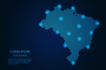 Abstract image Brazil map from point blue and glowing stars on a dark background. vector illustration.favorite_border favorite
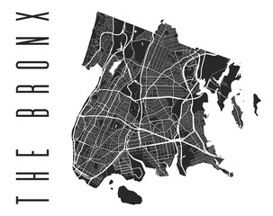 The Bronx map poster. New York city borough street map. Cityscape aria panorama.favorite_border favorite
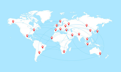 World map with countries borders and red location pointers.favorite_border favorite
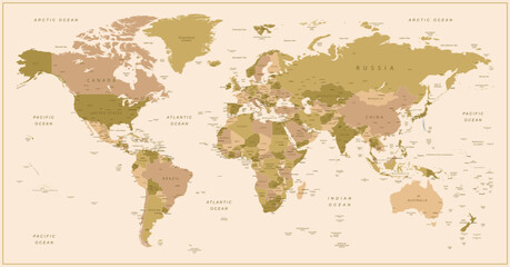 World map. Highly detailed map of the world with detailed borders of all countries, cities and bodies of water. Vector map in brown and green colors.favorite_border favorite
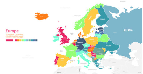 Colorful detailed vector map of the European country.favorite_border favorite
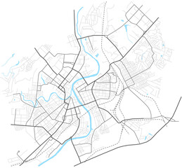 Orel city map - town streets on the plan. Map of the scheme of road. Urban environment, architectural background. Vectorfavorite_border favorite
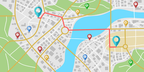 Fictional city map navigation with rivers and parks.favorite_border favorite
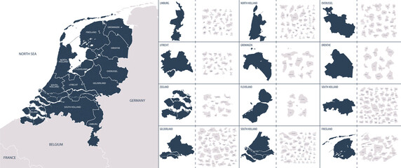 Vector color detailed map of Netherlands with the administrative divisions of the country, each Provinces is presented separately and divided into Municipalitiesfavorite_border favorite
 Road map and journey route infographics template. Winding road timeline illustration. Flat vector illustration. Eps 10favorite_border favorite
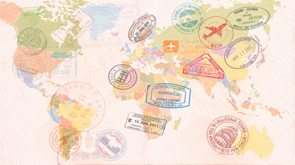 World map with Visas, Stamps, Seals. Travel conceptfavorite_border favorite
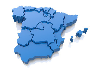 Three-dimensional map of Spain. 3dfavorite_border favorite
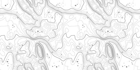 Line pattern seamless map topography background. Contour texture wood topographic abstract curves vector. Mountain compass cartography with linear wavy wind map.favorite_border favorite
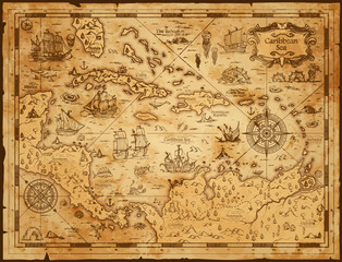 Old vintage map of caribbean sea. Vector worn parchment with ships, islands and land, wind rose and cardinal points. Fantasy world, vintage grunge paper, pirate map with travel locations and monstersfavorite_border favorite
 Telecomunicaciones globales y computación en la nube. Ilustración 3d del concepto de red e internet y mapa mundial.favorite_border favorite
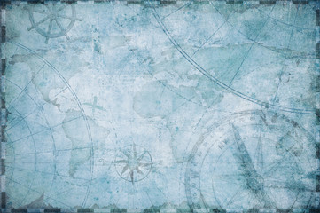 old nautical treasure map backgroundfavorite_border favorite
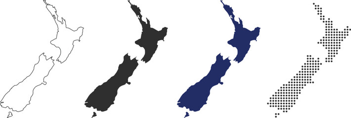 New zealand map in various style outline, black, blue, and dottedfavorite_border favorite
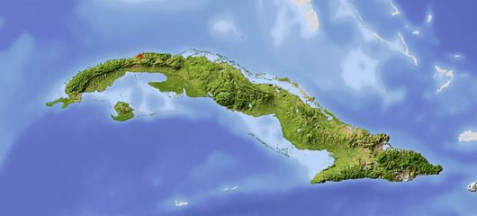 Cuba, shaded relief mapfavorite_border favorite
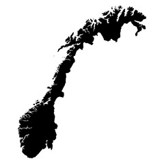 Norway black map on white background vectorfavorite_border favorite
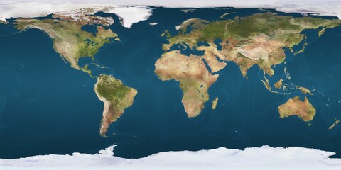 World map projection is showing continents, oceans, ice caps in flat design, transparent backgroundfavorite_border favorite
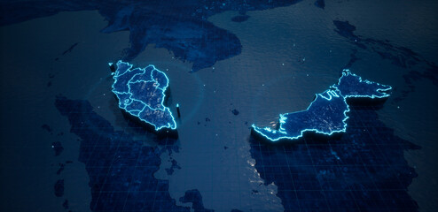 Abstract geometric futuristic concept 3d Map of Malaysia with borders as scribble, blue neon style. 3d renderingfavorite_border favorite
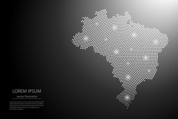 Abstract image Brazil map from point Gray and glowing stars on a dark background. Vector illustration eps 10.favorite_border favorite
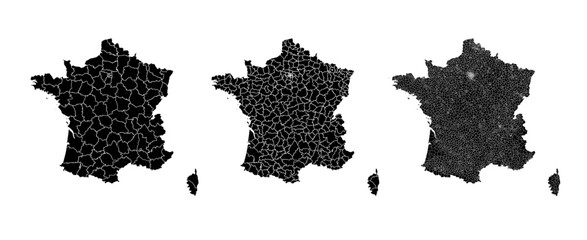 France map municipal, region, state division. Administrative borders, outline black on white background vector.favorite_border favorite
 Map of Middle Eastfavorite_border favorite
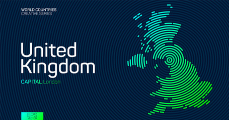 Abstract map of United Kingdom with circle linesfavorite_border favorite
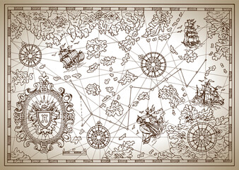 Pirate map with mythological creatures, old vessels, compass and treasure islands. Pirate adventures, treasure hunt and old transportation concept. Hand drawn vector illustration, vintage backgroundfavorite_border favorite
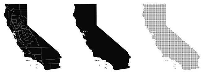 Vector fill, stroke with fill and dotted USA California mapfavorite_border favorite
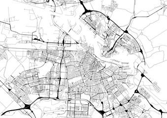 Monochrome city map with road network of Amsterdamfavorite_border favorite
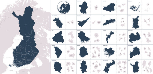 Vector color detailed map of Finland with administrative divisions of the country, each region is presented separately with high detail divided into districts and sub-regionsfavorite_border favorite
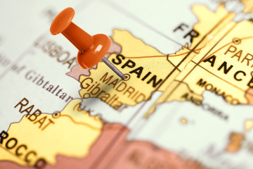 Location Spain. Red pin on the map.favorite_border favorite
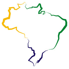 Brazylia - mapafavorite_border favorite
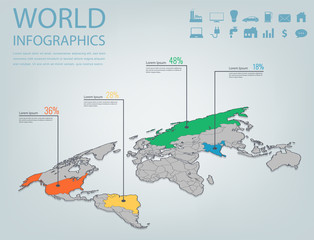 World map infographic template. 3d isometric. Vectorfavorite_border favorite
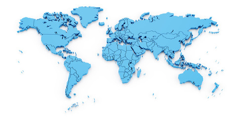 Detail world map with national borders, 3d renderfavorite_border favorite
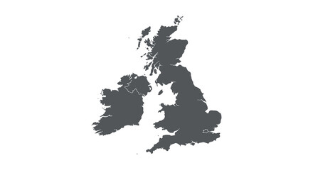 Detailed silhouette map of the united kingdom and ireland showing coastlines and islands. vector design. Silhouette vector design illustrationfavorite_border favorite
 City map with red pin of GPS location. 3d vector illustrationfavorite_border favorite
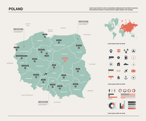 Vector map of Poland. Country map with division, cities and capital Warsaw. Political map, world map, infographic elements.favorite_border favorite
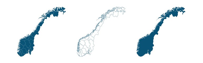 Geographical map of Norway isolated on white backgroundfavorite_border favorite
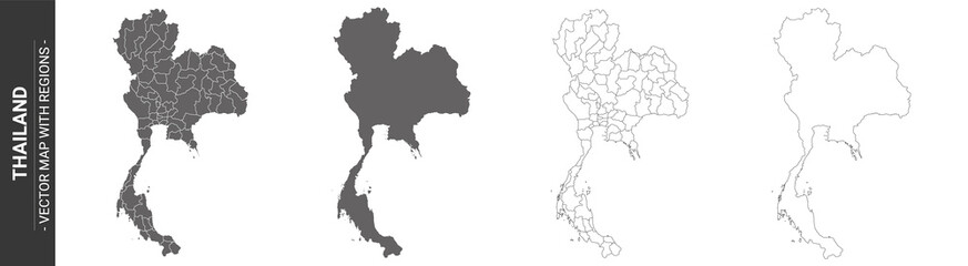 set of 4 political maps of Thailand with regions isolated on white backgroundfavorite_border favorite
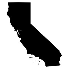 California map on white background vectorfavorite_border favorite
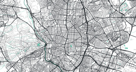 Detailed vector map of Madrid, Spainfavorite_border favorite
 Find your way. Location marking with a pin on a map with routes. Adventure, discovery, navigation, communication, logistics, geography, transport and travel theme concept background.favorite_border favorite
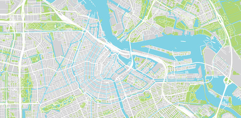 Urban vector city map of Amsterdam, The Netherlandsfavorite_border favorite
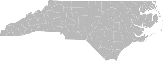 North Carolina vector map with county boundaries (Web Mercator projection, PPT-compatible & fully editable)favorite_border favorite
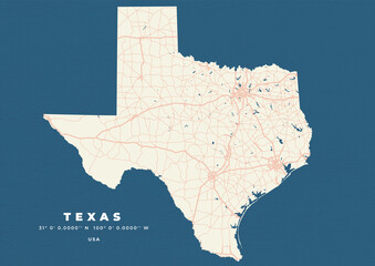 Texas map vector poster flyerfavorite_border favorite
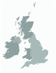 United kingdom map vector illustrationfavorite_border favorite
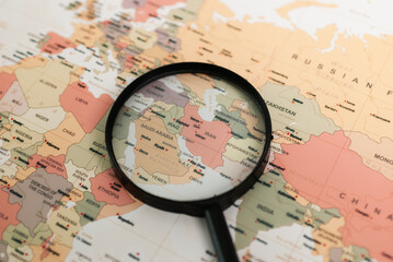 Exploring the middle east a detailed map analysis geographic insights educational environment aerial viewfavorite_border favorite
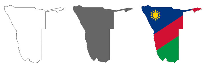 Highly detailed Namibia map with borders isolated on backgroundfavorite_border favorite
 Globalized world, the future of digital technology. Connections and cloud computing in the virtual world. World map with satellite data connections. Connectivity across the world.favorite_border favorite
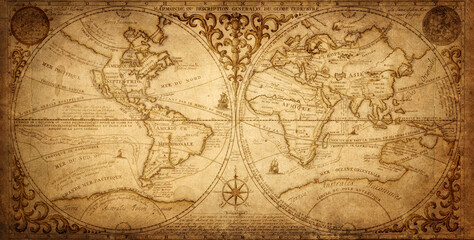 Old geographical map of the world of the 18 century. Collage. A good background for design on the theme of travel, geography, history, voyage, etc. Ancient map background.favorite_border favorite
 Urban vector city map of St Louis, California , United States of Americafavorite_border favorite
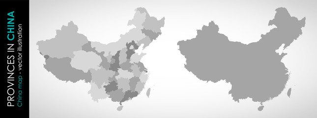 Vector map of China and provinces GRAYfavorite_border favorite
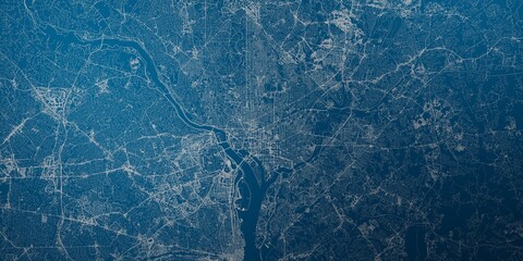 Washington (DC, USA) street map. The style of the map is blue lightsfavorite_border favorite
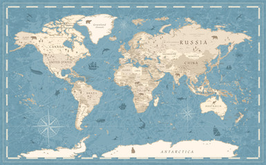 World Map Vintage Old-Style - vector - blue and beigefavorite_border favorite
 An outline world map showing continents and countries with white background and black borders visiblefavorite_border favorite
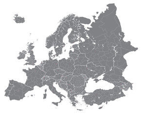 Europe vector high detailed political map with regions borders. All elements separated in detachable layersfavorite_border favorite
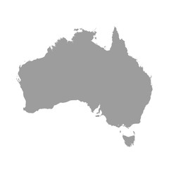 Australia map grey colored on a white backgroundfavorite_border favorite
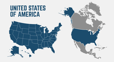 North America map. United States of America map with regions. North America map isolated on white background. High detailed. Vector illustrationfavorite_border favorite
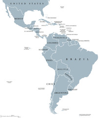 Latin America countries political map with national borders. Countries from the northern border of Mexico to the southern tip of South America, including the Caribbean. English labeling. Illustration.favorite_border favorite
 old vintage map backgroundfavorite_border favorite
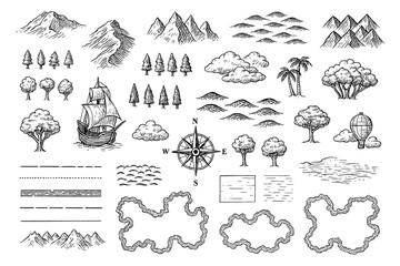 Vintage map elements set with mountains, trees, ships and compass in engraving style, Transparent Backgroundfavorite_border favorite
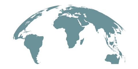 Curved world map silhouette with half globe blue Earth planet representing global business geography and international worldwide travel featuring all major continents in a modern vector infographicfavorite_border favorite
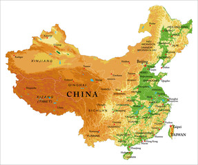 China relief mapfavorite_border favorite
 World map illustrationfavorite_border favorite
 USA map with states isolated on a white background. Vector illustration of the map of the United States of America, AI-Generated Vectorfavorite_border favorite
 United States of America map. USA Map With Divided States. Outline US map.favorite_border favorite
 Brazil, satellite B - dark glowfavorite_border favorite
 Aged parchment map with star symbol vintagefavorite_border favorite
 Graphic city map artwork of Pulheim, Germanyfavorite_border favorite
 Vector map of spainfavorite_border favorite
 Poland map icon. Poland border. Country flag sign. Europe geography. Vector illustration.favorite_border favorite
 distance love concept. map distance path vector illustration minimalist stylefavorite_border favorite
 Old drawn map of the medieval worldfavorite_border favorite
 old mapfavorite_border favorite
 World map with location pins and connection lines representing global logistics and tracking. Flat vector illustration of international shipping, supply chain, and global trade.favorite_border favorite
 colorful location pin map marker with hospital education car and home icon setfavorite_border favorite
 Explorer using a compass and topographic mapfavorite_border favorite
 Dot Germany map. Vector geographic map on white and blue backgrounds. Vector composition of Germany map made with sphere dots.favorite_border favorite
 Portugal map vectorfavorite_border favorite
 Detailed world map - vector illustration. Highly detailed world map: countries, capitals, cities, water bodiesfavorite_border favorite
 Vector city map of Austin, Texas.favorite_border favorite
 Relief map of United Statesfavorite_border favorite
 Asia map simple flat vector illustration for infographic designfavorite_border favorite
 Top view on road map. Curve highway roadway. Vector infographicfavorite_border favorite
 Outline silhouette and flag of germany map collectionfavorite_border favorite
 Travel by plane concept with top view airplane silhouette with single line path shaped world map behind it. Isolated on white background. Travel or vacation concept. Minimalistic vector illustration.favorite_border favorite
 USA map with states isolated on a white background. Vector illustration of the map of the United States of America, AI-Generated Vectorfavorite_border favorite
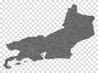 Blank map State Rio de Janeiro of Brazil. High quality map Rio de Janeiro with municipalities on transparent background for your web site design, logo, app, UI. Brazil. EPS10.favorite_border favorite
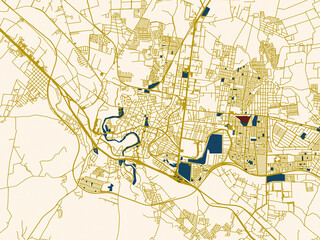 City street layout map of San Juan del Rio, Mexicofavorite_border favorite
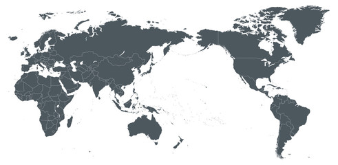 World Map Outline Contour Silhouette Borders - Asia in Centerfavorite_border favorite
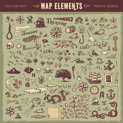 Vector illustrated set of various vintage map elementsfavorite_border favorite
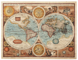 Old map (1626)favorite_border favorite
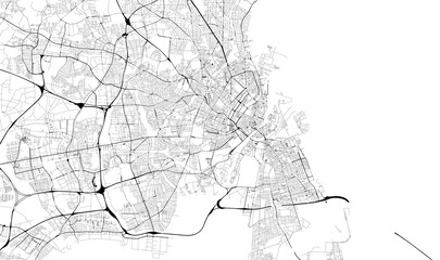 Monochrome city map with road network of Copenhagenfavorite_border favorite
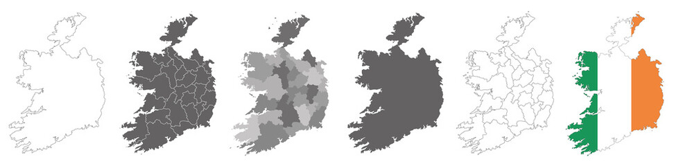 set of political maps of Ireland with regions and flag map isolated on white backgroundfavorite_border favorite
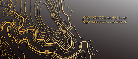 Map line of topography. Vector abstract topographic map concept with space for your copy. Black and white wave. Abstract paper cut. Abstract colorful waves. Wavy banners. Color geometric formfavorite_border favorite
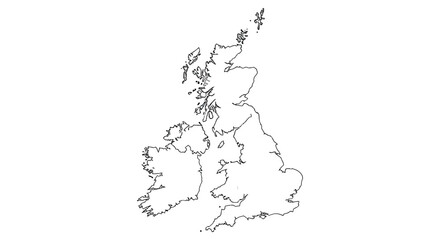 a detailed gray map showcasing the british isles including ireland and great britain silhouettefavorite_border favorite
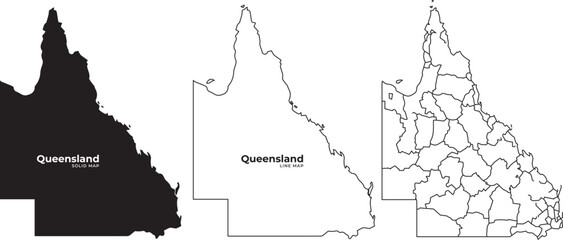 Queensland australia map illustrations in black and white with outline and regional divisionsfavorite_border favorite
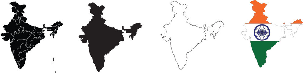 Map Set of India, Silhouette, Outline, Flag Map, and Region Mapfavorite_border favorite
 Greenland map plain set. Map of Greenland blank set.favorite_border favorite