-
Sea Depth Topographic Map With Route And Coordinates Conceptual User Interface Blue Abstract Background. Bermuda Triangle. Topographic Cartography. Topographic Map. Topographic Atlas
Do ulubionych favorite_border
Usuń z ulubionych favorite
-
Urban vector city map of Kielce, Poland
Do ulubionych favorite_border
Usuń z ulubionych favorite
-
Canada collection of map and flag icons on transparent background
Do ulubionych favorite_border
Usuń z ulubionych favorite
-
Netherlands black map on white background vector
Do ulubionych favorite_border
Usuń z ulubionych favorite
-
Poland outline and silhouette maps on white background
Do ulubionych favorite_border
Usuń z ulubionych favorite
-
World map on white background. Ultra detailed political map with country names. Vector Illustration.
Do ulubionych favorite_border
Usuń z ulubionych favorite
-
World map silhouette, black and white continents, global geography, minimalist earth design, international borders, vector illustration, no labels, educational
Do ulubionych favorite_border
Usuń z ulubionych favorite
-
USA map with states isolated on a white background. Vector illustration of the map of the United States of America, AI-Generated Vector
Do ulubionych favorite_border
Usuń z ulubionych favorite
-
city map with Pin Pointers 3d rendering image
Do ulubionych favorite_border
Usuń z ulubionych favorite
-
City street layout map of Jeddah, Saudi Arabia
Do ulubionych favorite_border
Usuń z ulubionych favorite
-
Ukraine maps set. Set of Ukrainian map with names of regions and blank map of Ukraine. Vector illustration.
Do ulubionych favorite_border
Usuń z ulubionych favorite
-
Fantasy map elements illustration, drawing, engraving, ink, line art, vector
Do ulubionych favorite_border
Usuń z ulubionych favorite
-
Dotted path with points. isolated on white background. Vector illustration. EPS 10 .
Do ulubionych favorite_border
Usuń z ulubionych favorite
-
Treasure map element. A dashed line and red X mark ink on the map, the treasure map with a dotted line, X marks the spot, dashed line trail to an X .
Do ulubionych favorite_border
Usuń z ulubionych favorite
-
Vector world map with radial rounds dots for business templates
Do ulubionych favorite_border
Usuń z ulubionych favorite
-
Do ulubionych favorite_border
Usuń z ulubionych favorite
-
Scheme of metro stations and plan of subway with colorful lines, fictional metro map of underground, layout of public passenger transport routes, subway train tracks plan flat vector illustration.
Do ulubionych favorite_border
Usuń z ulubionych favorite
-
Global Data Network Concept. Showing Earth Connected by Glowing Data Lines and Nodes, Representing Worldwide Communication, Big Data Exchange, Cloud Computing, and Advanced Technology Infrastructure.
Do ulubionych favorite_border
Usuń z ulubionych favorite
-
Switzerland map flag. Three styles of the Swiss country map including solid shape, dotted cantonal borders and national flag vector illustration. Travel and political geography symbol.
Do ulubionych favorite_border
Usuń z ulubionych favorite
-
Greater london boroughs map illustration with black white and outline variations for navigation and planning
Do ulubionych favorite_border
Usuń z ulubionych favorite
-
Customer Journey Isometric Outline Illustration
Do ulubionych favorite_border
Usuń z ulubionych favorite
-
Urban vector city map of St Louis, California , United States of America
Do ulubionych favorite_border
Usuń z ulubionych favorite
-
Poland map with main cities skylines. Vector illustration
Do ulubionych favorite_border
Usuń z ulubionych favorite
-
Illinois Map Black State Border United States US America Transparent Isolated Variations
Do ulubionych favorite_border
Usuń z ulubionych favorite
-
Do ulubionych favorite_border
Usuń z ulubionych favorite
-
Michigan state border map outline and silhouette vector graphic isolated image
Do ulubionych favorite_border
Usuń z ulubionych favorite
-
World travel map with landmarks, animals and sight of country. Vector Illustration
Do ulubionych favorite_border
Usuń z ulubionych favorite
-
Vector map illustration of Cornwall, England, UK, showing silhouette and outline sketch.
Do ulubionych favorite_border
Usuń z ulubionych favorite
-
Europe maps with regions isolated on a white background. Europe countries maps set. Map of Europe. Vector illustration
Do ulubionych favorite_border
Usuń z ulubionych favorite
-
Set of map pin location icons. Modern map markers. Map pin place marker. Location icon. Map marker pointer icon set.
Do ulubionych favorite_border
Usuń z ulubionych favorite
-
Earth planet in outer space. Europe from space. Night on planet with cities lights. Northern, Southern, Eastern, Western Europe at night viewed from space.
Do ulubionych favorite_border
Usuń z ulubionych favorite
-
Set of Canada map silhouettes in gray, outline, flat green, and watercolor texture styles.
Do ulubionych favorite_border
Usuń z ulubionych favorite
-
Global word map outline.World map line drawing. Hand drawn world map on white background
Do ulubionych favorite_border
Usuń z ulubionych favorite
-
Map Location icon set. Containing pin, flag, GPS, destination, direction, distance, place, navigation, route, road, marker, address, position and more. Editable line icons. Vector illustration.
Do ulubionych favorite_border
Usuń z ulubionych favorite
-
South Africa map set. Map of South Africa with flag. Vector EPS 10
Do ulubionych favorite_border
Usuń z ulubionych favorite
-
World map on isolated background. Blank outline map of World. Vector illustration
Do ulubionych favorite_border
Usuń z ulubionych favorite
-
high-tech digital dashboard displaying a world map with red warning signs global crisis cybersecurity threats risk areas futuristic emergency and data driven alerts
Do ulubionych favorite_border
Usuń z ulubionych favorite
-
Gray World Map with Country Borders on Transparent Background. Flat vector world map in gray with national boundaries. Transparent background for versatile design use.
Do ulubionych favorite_border
Usuń z ulubionych favorite
-
Philippines map flag. Silhouette, dotted outline and national flag versions of island country vector illustration. Southeast Asian geography and travel symbol. Political and patriotic sign.
Do ulubionych favorite_border
Usuń z ulubionych favorite
-
Abstract topographic contours map background featuring white paper relief waves and black contour lines, representing geographic elevation through organic flowing curves in minimalist vector line art.
Do ulubionych favorite_border
Usuń z ulubionych favorite
-
Camping and Hiking map creator. Set of flat cartoon elements for constructing summer camp activity. Vector nature clipart with mountains, lakes, trees for hiking or campfire plan. Flat illustration
Do ulubionych favorite_border
Usuń z ulubionych favorite
-
World Map vector. Detailed illustration of worldmap
Do ulubionych favorite_border
Usuń z ulubionych favorite
-
France map in three different styles
Do ulubionych favorite_border
Usuń z ulubionych favorite
-
US map icon graphic design. Vector icon illustrations
Do ulubionych favorite_border
Usuń z ulubionych favorite
-
Abstract light pattern Vector illustration. Topographic map background concept. Vibrant neon lights pulsating patterns. Colorful topography contour lines isolated on black background.
Do ulubionych favorite_border
Usuń z ulubionych favorite
-
World vector map with country boundaries and graticules (UN emblem style, from 60 degrees south, north pole aeqd projection, PPT-compatible & fully editable)
Do ulubionych favorite_border
Usuń z ulubionych favorite
-
Blue planet earth isolated on transparent background. Elements of this image furnished by NASA
Do ulubionych favorite_border
Usuń z ulubionych favorite
-
Do ulubionych favorite_border
Usuń z ulubionych favorite
-
india map with flag and ashoka chakra vector set
Do ulubionych favorite_border
Usuń z ulubionych favorite
-
Bochum (Germany) street map. The style of the map is grey paper
Do ulubionych favorite_border
Usuń z ulubionych favorite
-
Do ulubionych favorite_border
Usuń z ulubionych favorite
-
Canada map outline view from space, globe planet earth, red glow color, elements of this image courtesy of NASA
Do ulubionych favorite_border
Usuń z ulubionych favorite
-
Realistic Earth Glowing Borders Brazil
Do ulubionych favorite_border
Usuń z ulubionych favorite
-
map of Spain and location on Europe map
Do ulubionych favorite_border
Usuń z ulubionych favorite
-
Circle dot Europe map version. Vector territory schemes in black color and blue color tints. Abstract mosaic of Europe map composed with small circle dot pattern.
Do ulubionych favorite_border
Usuń z ulubionych favorite
-
Silueta del mapa de la Comunidad Valenciana en negro
Do ulubionych favorite_border
Usuń z ulubionych favorite
-
location map pointer icon, place pin marker sign - red gps map pointers in flat style, destination symbols. location pin line icon, Navigation sign
Do ulubionych favorite_border
Usuń z ulubionych favorite
-
Vector modern illustration. Simplified geographical map of Germany and nearest european states. Blue background of North and Baltic seas. Names of Deutsch cities and provinces.
Do ulubionych favorite_border
Usuń z ulubionych favorite
-
Hungary map (Mercator projection)
Do ulubionych favorite_border
Usuń z ulubionych favorite
-
Detailed map of Chicago, USA
Do ulubionych favorite_border
Usuń z ulubionych favorite
-
Urban vector city map of Radom, Poland
Do ulubionych favorite_border
Usuń z ulubionych favorite
-
City map with parks and squares, rivers and ponds. Town streets and avenues. Urban gps navigation plan
Do ulubionych favorite_border
Usuń z ulubionych favorite
-
Do ulubionych favorite_border
Usuń z ulubionych favorite
-
Washington, D. C. Map Black United States Capital Town Border US American City Transparent Isolated Variations
Do ulubionych favorite_border
Usuń z ulubionych favorite
-
Abstract wave paper curved reliefs background .gradient multicolor wave curve lines banner background design .topographic contours map background .Vector geographic contour map.
Do ulubionych favorite_border
Usuń z ulubionych favorite
-
World vector map with country boundaries and graticules (Northern hemisphere, arctic polar stereographic projection, PPT-compatible & fully editable)
Do ulubionych favorite_border
Usuń z ulubionych favorite
-
Political World Map - borders, countries and cities
Do ulubionych favorite_border
Usuń z ulubionych favorite
-
The Lithuania isolated map divided in regions
Do ulubionych favorite_border
Usuń z ulubionych favorite
-
Mapa del País Vasco o Euskadi con las provincias de Guipúzcoa, Donostia, Vizcaya y Bilbao. Silueta del mapa del País Vasco en verde
Do ulubionych favorite_border
Usuń z ulubionych favorite
-
Education road map timeline infographic template. learn milestone element timeline diagram, Can be used for vector infographics, digital marketing data presentations.
Do ulubionych favorite_border
Usuń z ulubionych favorite
-
Russia map on world map. The borders of Russia are colored. It looks different from other countries. Detailed representation of Russia country borders
Do ulubionych favorite_border
Usuń z ulubionych favorite
-
Digital web white map of Curtiba
Do ulubionych favorite_border
Usuń z ulubionych favorite
-
vector map flag of Honduras isolated on white background
Do ulubionych favorite_border
Usuń z ulubionych favorite
-
Germany 3d map with borders Template for your design
Do ulubionych favorite_border
Usuń z ulubionych favorite
-
World Map vector. Blue similar world map blank vector on white background. Blue similar world map with borders of all countries. High quality world map. Stock vector. Vector illustration EPS 10.
Do ulubionych favorite_border
Usuń z ulubionych favorite
-
Vector black map of New york
Do ulubionych favorite_border
Usuń z ulubionych favorite
-
Europe with a part of the Middle East countries, political map. Western part of continent Eurasia, located in the Northern Hemisphere. Countries with international borders and English labeling. Vector
Do ulubionych favorite_border
Usuń z ulubionych favorite
-
Krakow mapa Cracow Poland vector map Old town plan
Do ulubionych favorite_border
Usuń z ulubionych favorite
-
Map with GPS pin. Navigation and direction. City map with infrastructure. Travel and tourism. Journey and adventure. Guide for tourists. Isometric vector illustration isolated on beige background
Do ulubionych favorite_border
Usuń z ulubionych favorite
-
Do ulubionych favorite_border
Usuń z ulubionych favorite
-
Vector design of the street map of Chicago against a white background
Do ulubionych favorite_border
Usuń z ulubionych favorite
-
Topographic map. Height map with contour lines and dotted line grid seamless vector pattern background illustration
Do ulubionych favorite_border
Usuń z ulubionych favorite
-
東京新宿四谷周辺の詳細地図マップのベクターイラスト素材素材カラー
Do ulubionych favorite_border
Usuń z ulubionych favorite
-
California Counties Map Black State County Border United States US America Transparent Isolated Variations
Do ulubionych favorite_border
Usuń z ulubionych favorite
-
France map – vector illustration of regions and political borders
Do ulubionych favorite_border
Usuń z ulubionych favorite
-
Abstract topographic map background Vector. 21:9 wallpaper design for fabric , packaging , web, geographic grid map vector illustration.
Do ulubionych favorite_border
Usuń z ulubionych favorite
-
Map of Uttar pradesh , Map of Uttar pradesh with India, Map of Uttar pradesh state of India Vector Illustration, map of Uttar pradesh with solid color, India.
Do ulubionych favorite_border
Usuń z ulubionych favorite
-
Geopolitical Vector Map of the Autonomous Community of Catalonia (Cataluña/Catalunya/Catalonha) with Provinces, Judicial Areas, Comarques and Municipalities as of 2022 - Spain
Do ulubionych favorite_border
Usuń z ulubionych favorite
-
Abstract image Europe map from point blue and glowing stars on a dark background. vector illustration. Vector eps 10.
Do ulubionych favorite_border
Usuń z ulubionych favorite
-
Do ulubionych favorite_border
Usuń z ulubionych favorite
-
Map of North America, isolated on white background. Vector EPS.10
Do ulubionych favorite_border
Usuń z ulubionych favorite
-
Urban vector city map of Calgary, Canada
Do ulubionych favorite_border
Usuń z ulubionych favorite
-
set of political maps of Greece with regions and flag map isolated on white background
Do ulubionych favorite_border
Usuń z ulubionych favorite
-
Direction icon set. Containing route, itinerary, compass, arrow symbol, path, way, pointing direction and map icons. Solid icon collection.
Do ulubionych favorite_border
Usuń z ulubionych favorite
-
Blank similar USA map isolated on white background. United States of America usa country. Vector template usa for website, design, cover, infographics. Graph illustration.
Do ulubionych favorite_border
Usuń z ulubionych favorite
-
Dotted gradient USA map for backgrounds, brochures web. vector illustration isolated on white background.
Do ulubionych favorite_border
Usuń z ulubionych favorite
-
finland country map border vector blue icon illustration
Do ulubionych favorite_border
Usuń z ulubionych favorite
-
United Kingdom map illustration vector detailed United Kingdom map with all state names
Do ulubionych favorite_border
Usuń z ulubionych favorite
-
Dot USA map. Dotted America map in flat design. US halftone pattern, isolated vector
Do ulubionych favorite_border
Usuń z ulubionych favorite
-
Do ulubionych favorite_border
Usuń z ulubionych favorite
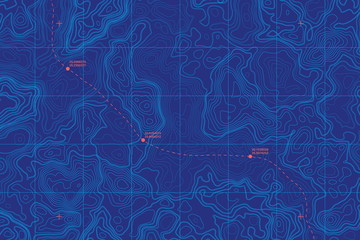 Sea Depth Topographic Map With Route And Coordinates Conceptual User Interface Blue Abstract Background. Bermuda Triangle. Topographic Cartography. Topographic Map. Topographic Atlasfavorite_border favorite
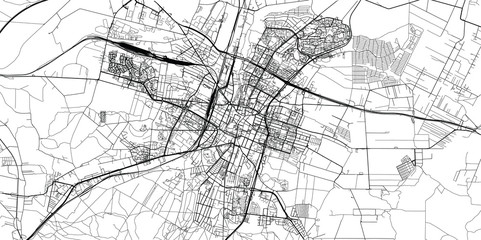 Urban vector city map of Kielce, Polandfavorite_border favorite
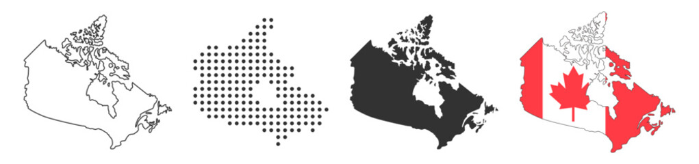 Canada collection of map and flag icons on transparent backgroundfavorite_border favorite
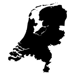 Netherlands black map on white background vectorfavorite_border favorite
 Poland outline and silhouette maps on white backgroundfavorite_border favorite
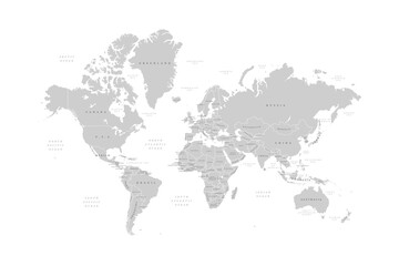 World map on white background. Ultra detailed political map with country names. Vector Illustration.favorite_border favorite
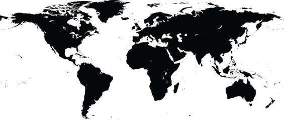 World map silhouette, black and white continents, global geography, minimalist earth design, international borders, vector illustration, no labels, educationalfavorite_border favorite
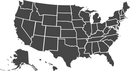 USA map with states isolated on a white background. Vector illustration of the map of the United States of America, AI-Generated Vectorfavorite_border favorite
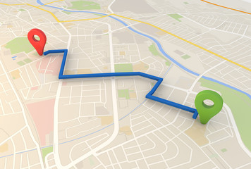 city map with Pin Pointers 3d rendering imagefavorite_border favorite
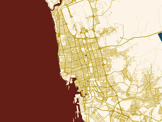 City street layout map of Jeddah, Saudi Arabiafavorite_border favorite
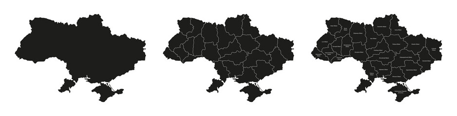 Ukraine maps set. Set of Ukrainian map with names of regions and blank map of Ukraine. Vector illustration.favorite_border favorite
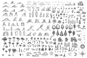 Fantasy map elements illustration, drawing, engraving, ink, line art, vectorfavorite_border favorite
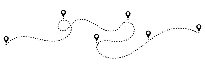 Dotted path with points. isolated on white background. Vector illustration. EPS 10 .favorite_border favorite
 Treasure map element. A dashed line and red X mark ink on the map, the treasure map with a dotted line, X marks the spot, dashed line trail to an X .favorite_border favorite
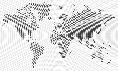 Vector world map with radial rounds dots for business templatesfavorite_border favorite
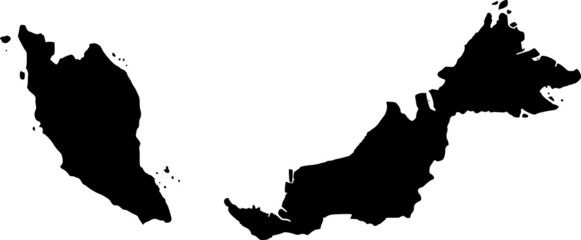 vector map of Malaysiafavorite_border favorite
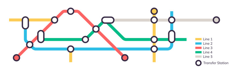 Scheme of metro stations and plan of subway with colorful lines, fictional metro map of underground, layout of public passenger transport routes, subway train tracks plan flat vector illustration.favorite_border favorite
 Global Data Network Concept. Showing Earth Connected by Glowing Data Lines and Nodes, Representing Worldwide Communication, Big Data Exchange, Cloud Computing, and Advanced Technology Infrastructure.favorite_border favorite
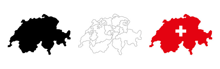 Switzerland map flag. Three styles of the Swiss country map including solid shape, dotted cantonal borders and national flag vector illustration. Travel and political geography symbol.favorite_border favorite
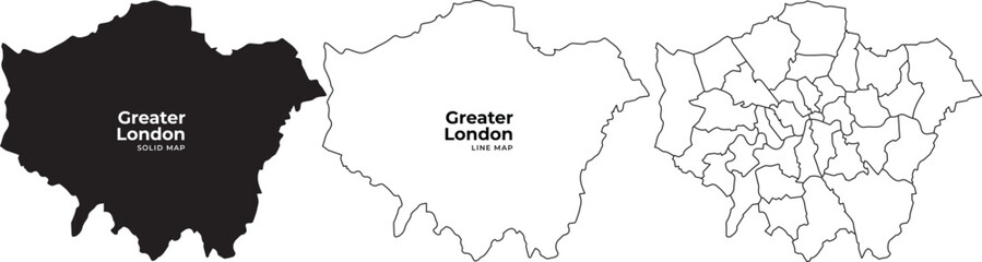 Greater london boroughs map illustration with black white and outline variations for navigation and planningfavorite_border favorite
 Customer Journey Isometric Outline Illustrationfavorite_border favorite
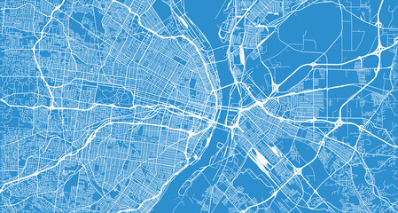 Urban vector city map of St Louis, California , United States of Americafavorite_border favorite
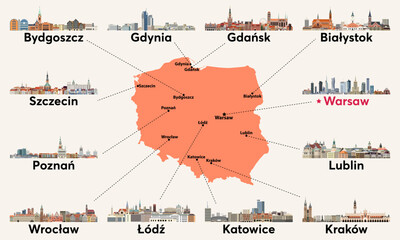 Poland map with main cities skylines. Vector illustrationfavorite_border favorite
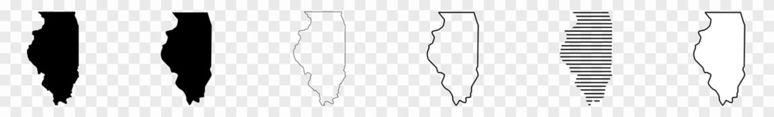 Illinois Map Black State Border United States US America Transparent Isolated Variationsfavorite_border favorite
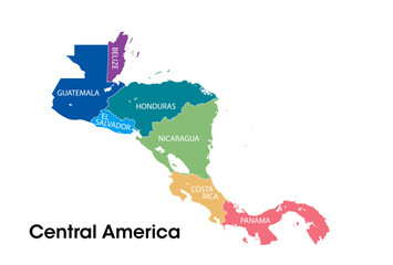 Central america mapfavorite_border favorite
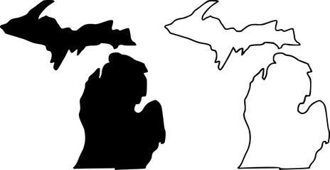 Michigan state border map outline and silhouette vector graphic isolated imagefavorite_border favorite
 World travel map with landmarks, animals and sight of country. Vector Illustrationfavorite_border favorite
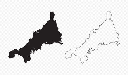 Vector map illustration of Cornwall, England, UK, showing silhouette and outline sketch.favorite_border favorite
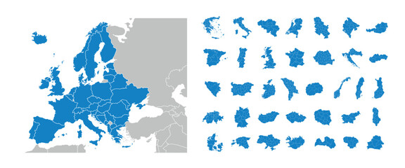 Europe maps with regions isolated on a white background. Europe countries maps set. Map of Europe. Vector illustrationfavorite_border favorite
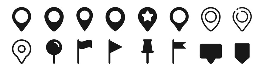 Set of map pin location icons. Modern map markers. Map pin place marker. Location icon. Map marker pointer icon set.favorite_border favorite
 Earth planet in outer space. Europe from space. Night on planet with cities lights. Northern, Southern, Eastern, Western Europe at night viewed from space.favorite_border favorite
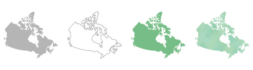 Set of Canada map silhouettes in gray, outline, flat green, and watercolor texture styles.favorite_border favorite
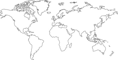 Global word map outline.World map line drawing. Hand drawn world map on white backgroundfavorite_border favorite
 Map Location icon set. Containing pin, flag, GPS, destination, direction, distance, place, navigation, route, road, marker, address, position and more. Editable line icons. Vector illustration.favorite_border favorite
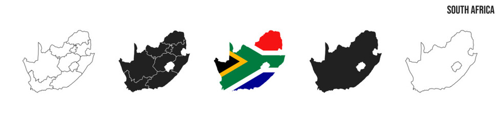 South Africa map set. Map of South Africa with flag. Vector EPS 10favorite_border favorite
 World map on isolated background. Blank outline map of World. Vector illustrationfavorite_border favorite
 high-tech digital dashboard displaying a world map with red warning signs global crisis cybersecurity threats risk areas futuristic emergency and data driven alertsfavorite_border favorite
 Gray World Map with Country Borders on Transparent Background. Flat vector world map in gray with national boundaries. Transparent background for versatile design use.favorite_border favorite
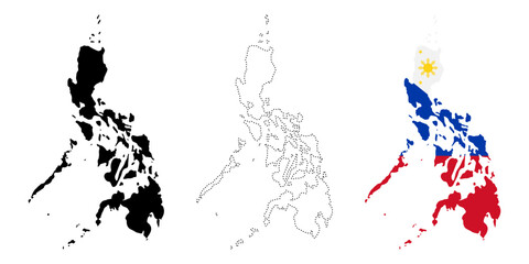 Philippines map flag. Silhouette, dotted outline and national flag versions of island country vector illustration. Southeast Asian geography and travel symbol. Political and patriotic sign.favorite_border favorite
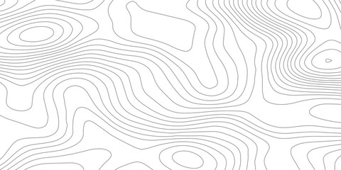 Abstract topographic contours map background featuring white paper relief waves and black contour lines, representing geographic elevation through organic flowing curves in minimalist vector line art.favorite_border favorite
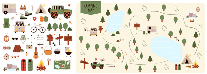 Camping and Hiking map creator. Set of flat cartoon elements for constructing summer camp activity. Vector nature clipart with mountains, lakes, trees for hiking or campfire plan. Flat illustrationfavorite_border favorite
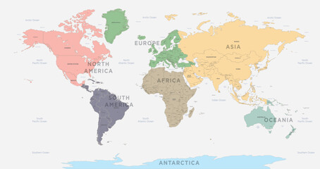 World Map vector. Detailed illustration of worldmapfavorite_border favorite
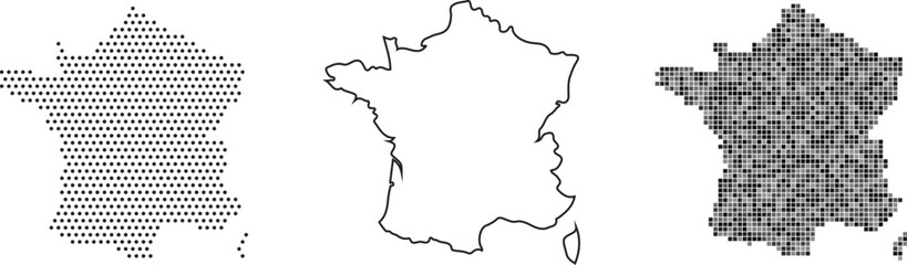 France map in three different stylesfavorite_border favorite
 US map icon graphic design. Vector icon illustrationsfavorite_border favorite
 Abstract light pattern Vector illustration. Topographic map background concept. Vibrant neon lights pulsating patterns. Colorful topography contour lines isolated on black background.favorite_border favorite
 World vector map with country boundaries and graticules (UN emblem style, from 60 degrees south, north pole aeqd projection, PPT-compatible & fully editable)favorite_border favorite
 Blue planet earth isolated on transparent background. Elements of this image furnished by NASAfavorite_border favorite
 Puerto Rico mapfavorite_border favorite
 india map with flag and ashoka chakra vector setfavorite_border favorite
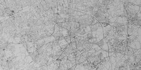 Bochum (Germany) street map. The style of the map is grey paperfavorite_border favorite
 japan map silhouettefavorite_border favorite
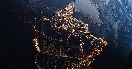 Canada map outline view from space, globe planet earth, red glow color, elements of this image courtesy of NASAfavorite_border favorite
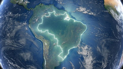 Realistic Earth Glowing Borders Brazilfavorite_border favorite
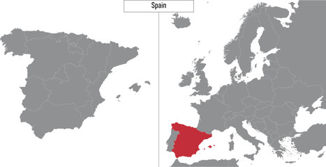 map of Spain and location on Europe mapfavorite_border favorite
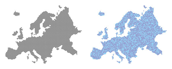 Circle dot Europe map version. Vector territory schemes in black color and blue color tints. Abstract mosaic of Europe map composed with small circle dot pattern.favorite_border favorite
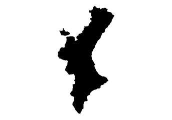 Silueta del mapa de la Comunidad Valenciana en negrofavorite_border favorite
 location map pointer icon, place pin marker sign - red gps map pointers in flat style, destination symbols. location pin line icon, Navigation signfavorite_border favorite
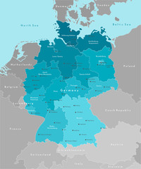 Vector modern illustration. Simplified geographical map of Germany and nearest european states. Blue background of North and Baltic seas. Names of Deutsch cities and provinces.favorite_border favorite
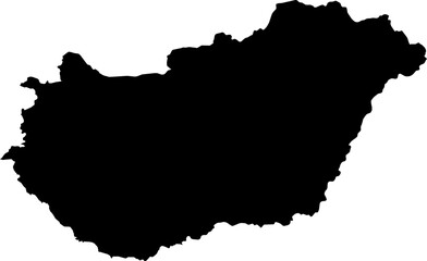 Hungary map (Mercator projection)favorite_border favorite
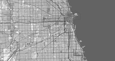 Detailed map of Chicago, USAfavorite_border favorite
 Urban vector city map of Radom, Polandfavorite_border favorite
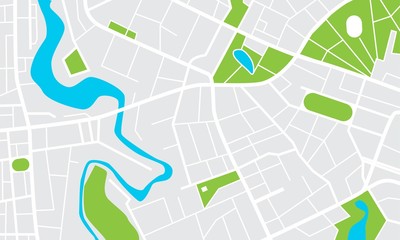 City map with parks and squares, rivers and ponds. Town streets and avenues. Urban gps navigation planfavorite_border favorite
 Maldives map iconfavorite_border favorite
 Washington, D. C. Map Black United States Capital Town Border US American City Transparent Isolated Variationsfavorite_border favorite
 Abstract wave paper curved reliefs background .gradient multicolor wave curve lines banner background design .topographic contours map background .Vector geographic contour map.favorite_border favorite
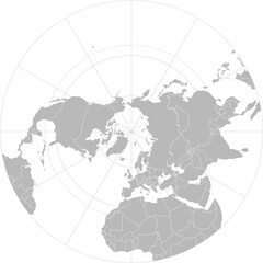 World vector map with country boundaries and graticules (Northern hemisphere, arctic polar stereographic projection, PPT-compatible & fully editable)favorite_border favorite
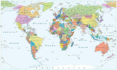 Political World Map - borders, countries and citiesfavorite_border favorite
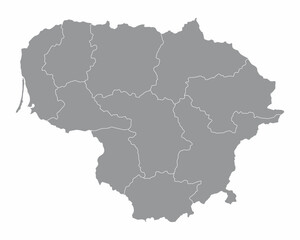 The Lithuania isolated map divided in regionsfavorite_border favorite
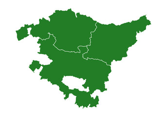 Mapa del País Vasco o Euskadi con las provincias de Guipúzcoa, Donostia, Vizcaya y Bilbao. Silueta del mapa del País Vasco en verdefavorite_border favorite
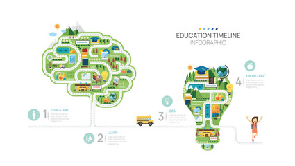 Education road map timeline infographic template. learn milestone element timeline diagram, Can be used for vector infographics, digital marketing data presentations.favorite_border favorite
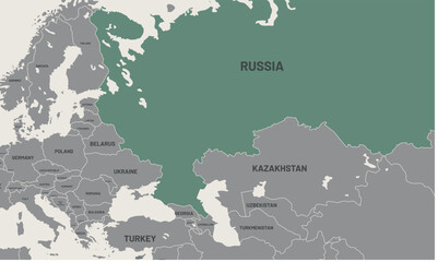 Russia map on world map. The borders of Russia are colored. It looks different from other countries. Detailed representation of Russia country bordersfavorite_border favorite
 Digital web white map of Curtibafavorite_border favorite
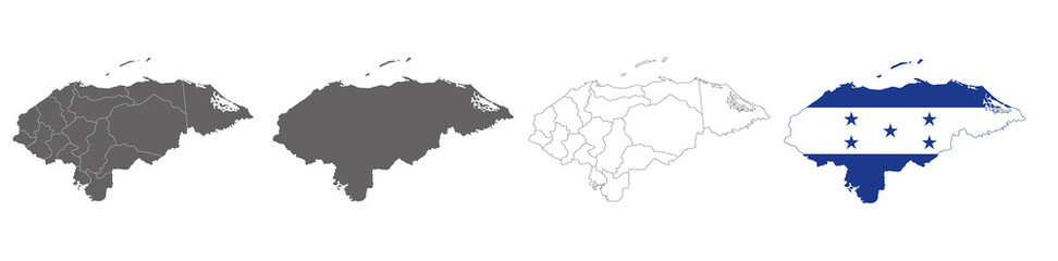 vector map flag of Honduras isolated on white backgroundfavorite_border favorite
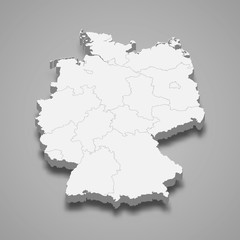 Germany 3d map with borders Template for your designfavorite_border favorite
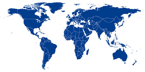 World Map vector. Blue similar world map blank vector on white background. Blue similar world map with borders of all countries. High quality world map. Stock vector. Vector illustration EPS 10.favorite_border favorite
 Vector black map of New yorkfavorite_border favorite
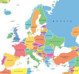 Europe with a part of the Middle East countries, political map. Western part of continent Eurasia, located in the Northern Hemisphere. Countries with international borders and English labeling. Vectorfavorite_border favorite
 Krakow mapa Cracow Poland vector map Old town planfavorite_border favorite
 Map with GPS pin. Navigation and direction. City map with infrastructure. Travel and tourism. Journey and adventure. Guide for tourists. Isometric vector illustration isolated on beige backgroundfavorite_border favorite
 Map pointer iconfavorite_border favorite
 Vector design of the street map of Chicago against a white backgroundfavorite_border favorite
 Topographic map. Height map with contour lines and dotted line grid seamless vector pattern background illustrationfavorite_border favorite
 東京新宿四谷周辺の詳細地図マップのベクターイラスト素材素材カラーfavorite_border favorite
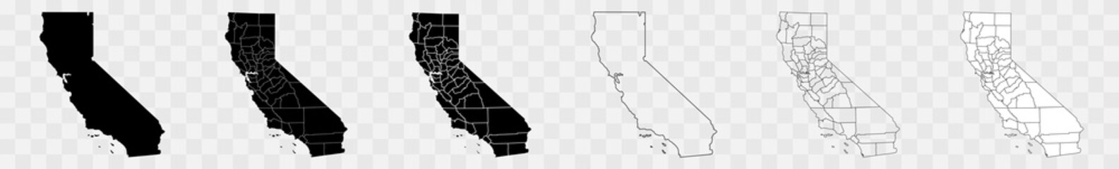 California Counties Map Black State County Border United States US America Transparent Isolated Variationsfavorite_border favorite
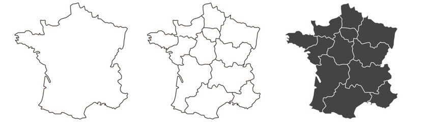 France map – vector illustration of regions and political bordersfavorite_border favorite
 Abstract topographic map background Vector. 21:9 wallpaper design for fabric , packaging , web, geographic grid map vector illustration.favorite_border favorite
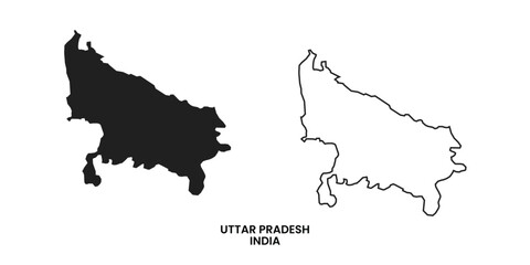 Map of Uttar pradesh , Map of Uttar pradesh with India, Map of Uttar pradesh state of India Vector Illustration, map of Uttar pradesh with solid color, India.favorite_border favorite
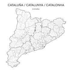 Geopolitical Vector Map of the Autonomous Community of Catalonia (Cataluña/Catalunya/Catalonha) with Provinces, Judicial Areas, Comarques and Municipalities as of 2022 - Spainfavorite_border favorite
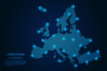 Abstract image Europe map from point blue and glowing stars on a dark background. vector illustration. Vector eps 10.favorite_border favorite
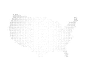 USA map with dot pixelsfavorite_border favorite
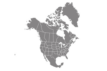 Map of North America, isolated on white background. Vector EPS.10favorite_border favorite
 Urban vector city map of Calgary, Canadafavorite_border favorite
 set of political maps of Greece with regions and flag map isolated on white backgroundfavorite_border favorite
 Direction icon set. Containing route, itinerary, compass, arrow symbol, path, way, pointing direction and map icons. Solid icon collection.favorite_border favorite
 Blank similar USA map isolated on white background. United States of America usa country. Vector template usa for website, design, cover, infographics. Graph illustration.favorite_border favorite
 Dotted gradient USA map for backgrounds, brochures web. vector illustration isolated on white background.favorite_border favorite
 finland country map border vector blue icon illustrationfavorite_border favorite
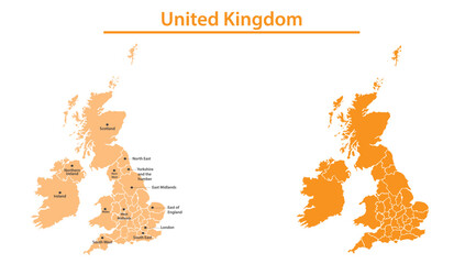 United Kingdom map illustration vector detailed United Kingdom map with all state namesfavorite_border favorite
 Dot USA map. Dotted America map in flat design. US halftone pattern, isolated vectorfavorite_border favorite
 Brazil mapfavorite_border favorite