-
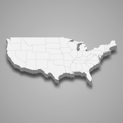
united states 3d map with borders Template for your design
Do ulubionych favorite_border
Usuń z ulubionych favorite
-
Do ulubionych favorite_border
Usuń z ulubionych favorite
-
Backpacker woman sitting on top of mountain and looking map with nature background
Do ulubionych favorite_border
Usuń z ulubionych favorite
-
old medieval nautical Europe map
Do ulubionych favorite_border
Usuń z ulubionych favorite
-
Map icon set. Included the icons as pin, nearby, direction, navigation, navigator, way, path and more.
Do ulubionych favorite_border
Usuń z ulubionych favorite
-
Navigation and roads related editable stroke outline icons set isolated on white background flat vector illustration. Pixel perfect. 64 x 64.
Do ulubionych favorite_border
Usuń z ulubionych favorite
-
3D top view of a map with destination target point location point 001
Do ulubionych favorite_border
Usuń z ulubionych favorite
-
Planet Earth from Space People's Republic of China highlighted, elements of this image courtesy of NASA
Do ulubionych favorite_border
Usuń z ulubionych favorite
-
black thin line germany map with shadow
Do ulubionych favorite_border
Usuń z ulubionych favorite
-
Detailed map of Tokyo, Japan
Do ulubionych favorite_border
Usuń z ulubionych favorite
-
Location icons set. Containing navigation, location, contains map with a pin, route map, navigator, direction and more. Outline Icon Collection. Vector illustration. Editable stroke
Do ulubionych favorite_border
Usuń z ulubionych favorite
-
Urban vector city map of Richmond, USA. Virginia state capital
Do ulubionych favorite_border
Usuń z ulubionych favorite
-
Do ulubionych favorite_border
Usuń z ulubionych favorite
-
World map with countries grey and detailed. Flat Earth. Globe world map icon. Travel worldwide.
Do ulubionych favorite_border
Usuń z ulubionych favorite
-
dark grey World map on colored background banner
Do ulubionych favorite_border
Usuń z ulubionych favorite
-
vector mape of european union borders
Do ulubionych favorite_border
Usuń z ulubionych favorite
-
Lyon, France printable map
Do ulubionych favorite_border
Usuń z ulubionych favorite
-
Hawaii map on white background vector
Do ulubionych favorite_border
Usuń z ulubionych favorite
-
North and South America map
Do ulubionych favorite_border
Usuń z ulubionych favorite
-
city map for any kind of digital info graphics and print publication. gps map.EPS10 separate layers.
Do ulubionych favorite_border
Usuń z ulubionych favorite
-
Political map of Ukraine with borders
Do ulubionych favorite_border
Usuń z ulubionych favorite
-
Carte de Pologne avec représentation des provinces - Libellés des provinces en polonais - Textes vectorisés et non vectorisés sur calques séparés
Do ulubionych favorite_border
Usuń z ulubionych favorite
-
Physical map of the World, with high resolution details. Flattened satellite view of Planet Earth, its geography and topography. 3D illustration - Elements of this image furnished by NASA
Do ulubionych favorite_border
Usuń z ulubionych favorite
-
Vector city map of Barcelona in black and white
Do ulubionych favorite_border
Usuń z ulubionych favorite
-
Flight plane map. Plane flight with arrow. Airline map route
Do ulubionych favorite_border
Usuń z ulubionych favorite
-
Set of isolated Japan maps with regions. Isolated borders, departments, municipalities.
Do ulubionych favorite_border
Usuń z ulubionych favorite
-
Do ulubionych favorite_border
Usuń z ulubionych favorite
-
Imaginary cadastral map with buildings, land parcel and vacant plot printed on paper
Do ulubionych favorite_border
Usuń z ulubionych favorite
-
Ireland map with counties and Northern Ireland. Vector illustration.
Do ulubionych favorite_border
Usuń z ulubionych favorite
-
Ancient old compass on the vintage map background. Adventure, discovery, navigation, geography, education, pirate and travel theme concept background. History and geography team. Retro stale.
Do ulubionych favorite_border
Usuń z ulubionych favorite
-
Set of transparent globes of Earth. World map template with continents. Realistic world map in globe shape with transparent texture and shadow. Abstract 3d globe icon
Do ulubionych favorite_border
Usuń z ulubionych favorite
-
Blank map Brazil. High quality map Brazil with provinces on transparent background for your web site design, logo, app, UI. Stock vector. Vector illustration EPS10.
Do ulubionych favorite_border
Usuń z ulubionych favorite
-
China map icon collection, China map vector set.
Do ulubionych favorite_border
Usuń z ulubionych favorite
-
Outline of the map of Poland with regions
Do ulubionych favorite_border
Usuń z ulubionych favorite
-
Planet Earth from Space USA, United States highlighted state border and counties animation, elements of this image courtesy of NASA
Do ulubionych favorite_border
Usuń z ulubionych favorite
-
Do ulubionych favorite_border
Usuń z ulubionych favorite
-
The designation of China on the world map. Red color. White territories of countries on a gray background. Vector illustration.
Do ulubionych favorite_border
Usuń z ulubionych favorite
-
Vietnam map on white background vector
Do ulubionych favorite_border
Usuń z ulubionych favorite
-
Antique bronze emblem compass on a retro world map vintage style.
Do ulubionych favorite_border
Usuń z ulubionych favorite
-
World map silhouette, gray and white, flat design, world map template, vector illustration.
Do ulubionych favorite_border
Usuń z ulubionych favorite
-
Map pointer location, travel and navigation planning concept. 3d illustration
Do ulubionych favorite_border
Usuń z ulubionych favorite
-
Old map of Brittany (France) - From an 1656 Atlas of Geography from P. du Val - France (Private collection)
Do ulubionych favorite_border
Usuń z ulubionych favorite
-
world map physical boundaries
Do ulubionych favorite_border
Usuń z ulubionych favorite
-
Vector illustration of a glowing world map at night, with shining dots representing cities, population, and global network. The digital earth highlights technology, communication, and major continents
Do ulubionych favorite_border
Usuń z ulubionych favorite
-
Brazil political map of administrative divisions
Do ulubionych favorite_border
Usuń z ulubionych favorite
-
The Caribbean, colored political map. Subregion of the Americas in the Caribbean Sea with its islands and English names. The Greater Antilles and the Lesser Antilles. Isolated illustration over white.
Do ulubionych favorite_border
Usuń z ulubionych favorite
-
Munich map vector poster flyer
Do ulubionych favorite_border
Usuń z ulubionych favorite
-
United Kingdom silhouette map and two patterns of dots and slanted lines. Flat vector illustration isolated on white
Do ulubionych favorite_border
Usuń z ulubionych favorite
-
simple logo map of brazil Illustration in a linear style. Abstract line art brazil map Logotype concept icon. Vector logo Brazil map color silhouette on a dark background. EPS 10
Do ulubionych favorite_border
Usuń z ulubionych favorite
-
Find your way. Location marking with a pin on a map with routes. Adventure, discovery, navigation, communication, logistics, geography, transport and travel theme concept background.
Do ulubionych favorite_border
Usuń z ulubionych favorite
-
Vector Illustration europe map infographic for slide presentation. Global business marketing concept.
Do ulubionych favorite_border
Usuń z ulubionych favorite
-
traveler girl hold in hands map and look sun flare, people planning trip, hipster tourist on background nature, enjoy journey landscape vacation trip, lifestyle holiday concept, sun mountain
Do ulubionych favorite_border
Usuń z ulubionych favorite
-
Do ulubionych favorite_border
Usuń z ulubionych favorite
-
Set of map pointer icons, icons of map pointer , set of map pointer, pointer icon set, icon set of map pin, pin icon, jungle, restaurant, sea, hotel, hospital, school, house, zoo, station, airport
Do ulubionych favorite_border
Usuń z ulubionych favorite
-
Do ulubionych favorite_border
Usuń z ulubionych favorite
-
America map,America Continent vector map in white background.America map background with country.America political map. High detailed. Solid simple style. Black and white. Vector editable.
Do ulubionych favorite_border
Usuń z ulubionych favorite
-
World map cork wood texture cut out on transparent background.
Do ulubionych favorite_border
Usuń z ulubionych favorite
-
Chile Map Black Chilean Border State Country Transparent Isolated Variations
Do ulubionych favorite_border
Usuń z ulubionych favorite
-
new zealand map shape simplified silhouette
Do ulubionych favorite_border
Usuń z ulubionych favorite
-
Vector high detailed vector map of Spain with cities and symbols of Spain.
Do ulubionych favorite_border
Usuń z ulubionych favorite
-
Europe map with countries flags
Do ulubionych favorite_border
Usuń z ulubionych favorite
-
Seamless topography pattern of map lines texture. Contour abstract topographic mountain vector. Topology terrain geographic wood grid with latitude and wavy outlines.
Do ulubionych favorite_border
Usuń z ulubionych favorite
-
Night planet earth from space with light lines of communication and connection. Business and finance, concept. Global communications system and the World Wide Web. Technologies and communications.
Do ulubionych favorite_border
Usuń z ulubionych favorite
-
Eurasia Map vector. Gray similar world map blank vector on transparent background. Gray similar Eurasia map with borders of all countries and Countries of the UK. Quality Eurasia map.
Do ulubionych favorite_border
Usuń z ulubionych favorite
-
Indonesia political map of administrative divisions
Do ulubionych favorite_border
Usuń z ulubionych favorite
-
Africa Topographic Relief Map - 3D Render
Do ulubionych favorite_border
Usuń z ulubionych favorite
-
The Balearic Islands silhouette map isolated on white background, Spain
Do ulubionych favorite_border
Usuń z ulubionych favorite
-
South America map set with proportional designs – colorful, black silhouette, and outline
Do ulubionych favorite_border
Usuń z ulubionych favorite
-
Map of USA icon collection, country and north America, USA map sign vector set graphics, editable stroke linear icon, eps 10
Do ulubionych favorite_border
Usuń z ulubionych favorite
-
World map vector image isolated on white background. Customizable, individual country color editable.
Do ulubionych favorite_border
Usuń z ulubionych favorite
-
Vector map of Canada. High detailed country map with division, cities and capital Ottawa. Political map, world map, infographic elements.
Do ulubionych favorite_border
Usuń z ulubionych favorite
-
Puerto Rico map vector illustration, scribble sketch Puerto Rico
Do ulubionych favorite_border
Usuń z ulubionych favorite
-
Austria - map and flag – illustration
Do ulubionych favorite_border
Usuń z ulubionych favorite
-
Do ulubionych favorite_border
Usuń z ulubionych favorite
-
Find your way. Location marking with a blue pin on a old map with wind rose. Adventure, discovery, navigation, communication, logistics, geography, transport and travel theme concept background.
Do ulubionych favorite_border
Usuń z ulubionych favorite
-
Flag of world. Vector icons
Do ulubionych favorite_border
Usuń z ulubionych favorite
-
Location Iran. Green pin on the map.
Do ulubionych favorite_border
Usuń z ulubionych favorite
-
Blue location symbol pin icon sign or navigation locator map travel gps direction pointer and marker place position point design element on route graphic road mark destination background. 3D render.
Do ulubionych favorite_border
Usuń z ulubionych favorite
-
Vector road map of the city of Torun in Poland with black roads on a white background.
Do ulubionych favorite_border
Usuń z ulubionych favorite
-
Do ulubionych favorite_border
Usuń z ulubionych favorite
-
Vector color detailed map of Greece with the administrative divisions of the country, each Regions is presented separately and divided into municipalities
Do ulubionych favorite_border
Usuń z ulubionych favorite
-
Do ulubionych favorite_border
Usuń z ulubionych favorite
-
Do ulubionych favorite_border
Usuń z ulubionych favorite
-
Spain - detailed map with administrative divisions and country flag. Vector illustration
Do ulubionych favorite_border
Usuń z ulubionych favorite
-
Do ulubionych favorite_border
Usuń z ulubionych favorite
-
Colorful metro scheme, railway transport or city bus map
Do ulubionych favorite_border
Usuń z ulubionych favorite
-
The world map illustration
Do ulubionych favorite_border
Usuń z ulubionych favorite
-
Area map of Kraków, Poland
Do ulubionych favorite_border
Usuń z ulubionych favorite
-
Russia political map with capital Moscow and national borders, important cities
Do ulubionych favorite_border
Usuń z ulubionych favorite
-
Canada gray map with provinces. Vector illustration.
Do ulubionych favorite_border
Usuń z ulubionych favorite
-
Dotted path line with red points. Travel concept with path way. Vector flat map way isolated. Vector illustration.
Do ulubionych favorite_border
Usuń z ulubionych favorite
-
Detailed map of Bialystok city, Cityscape. Royalty free vector illustration.
Do ulubionych favorite_border
Usuń z ulubionych favorite
-
Detailed map of Seattle, USA
Do ulubionych favorite_border
Usuń z ulubionych favorite
-
Urban vector city map of Melbourne, Australia
Do ulubionych favorite_border
Usuń z ulubionych favorite
-
Labeled U.S. map with all state names on a light blue background
Do ulubionych favorite_border
Usuń z ulubionych favorite
-
world map earth vector design
Do ulubionych favorite_border
Usuń z ulubionych favorite
-
North symbol vector set, direction compass icon
Do ulubionych favorite_border
Usuń z ulubionych favorite
-
Pin location map travel road navigation marker of direction place point icon or gps global position system mark sign and searching city route target symbol pointer on destination 3d arrow background.
Do ulubionych favorite_border
Usuń z ulubionych favorite
-
Background of the topographic map. Topographic map lines, contour background. Geographic abstract grid. EPS 10 vector illustration.
Do ulubionych favorite_border
Usuń z ulubionych favorite
-
Ancient world map ships and continents compass marine navigation
Do ulubionych favorite_border
Usuń z ulubionych favorite
 united states 3d map with borders Template for your designfavorite_border favorite
 3D map of the worldfavorite_border favorite
 Backpacker woman sitting on top of mountain and looking map with nature backgroundfavorite_border favorite
 old medieval nautical Europe mapfavorite_border favorite
 Map icon set. Included the icons as pin, nearby, direction, navigation, navigator, way, path and more.favorite_border favorite
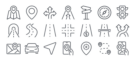 Navigation and roads related editable stroke outline icons set isolated on white background flat vector illustration. Pixel perfect. 64 x 64.favorite_border favorite
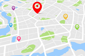 3D top view of a map with destination target point location point 001favorite_border favorite
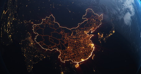 Planet Earth from Space People's Republic of China highlighted, elements of this image courtesy of NASAfavorite_border favorite
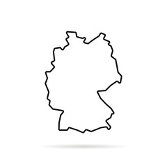 black thin line germany map with shadowfavorite_border favorite
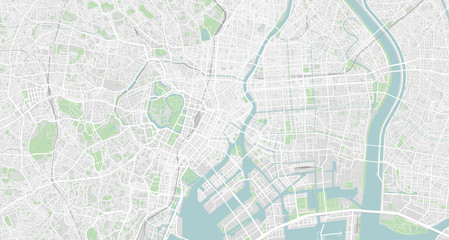 Detailed map of Tokyo, Japanfavorite_border favorite
 Location icons set. Containing navigation, location, contains map with a pin, route map, navigator, direction and more. Outline Icon Collection. Vector illustration. Editable strokefavorite_border favorite
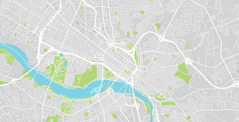 Urban vector city map of Richmond, USA. Virginia state capitalfavorite_border favorite
 Map of Latin America.favorite_border favorite
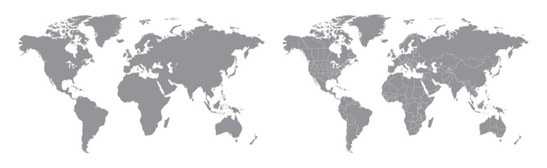 World map with countries grey and detailed. Flat Earth. Globe world map icon. Travel worldwide.favorite_border favorite
 dark grey World map on colored background bannerfavorite_border favorite
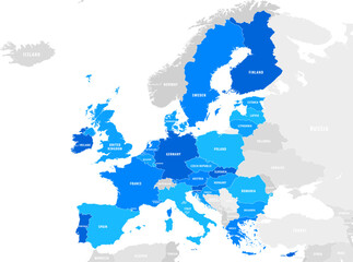 vector mape of european union bordersfavorite_border favorite
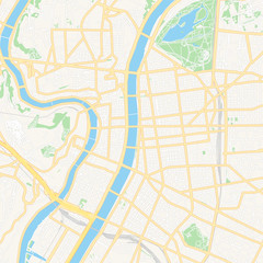 Lyon, France printable mapfavorite_border favorite
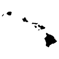 Hawaii map on white background vectorfavorite_border favorite
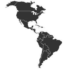 North and South America mapfavorite_border favorite
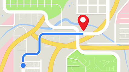 city map for any kind of digital info graphics and print publication. gps map.EPS10 separate layers.favorite_border favorite
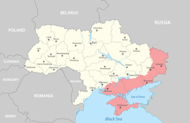 Political map of Ukraine with bordersfavorite_border favorite
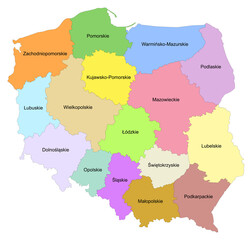 Carte de Pologne avec représentation des provinces - Libellés des provinces en polonais - Textes vectorisés et non vectorisés sur calques séparésfavorite_border favorite
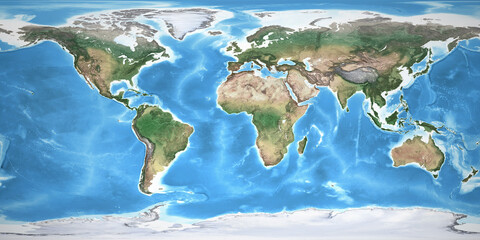 Physical map of the World, with high resolution details. Flattened satellite view of Planet Earth, its geography and topography. 3D illustration - Elements of this image furnished by NASAfavorite_border favorite
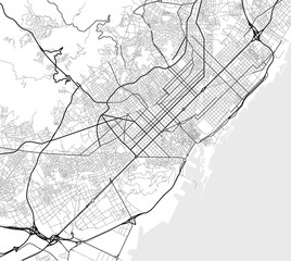 Vector city map of Barcelona in black and whitefavorite_border favorite
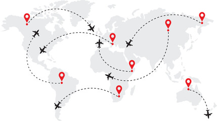 Flight plane map. Plane flight with arrow. Airline map routefavorite_border favorite
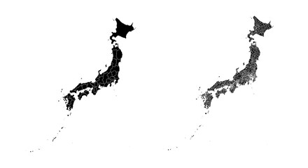 Set of isolated Japan maps with regions. Isolated borders, departments, municipalities.favorite_border favorite
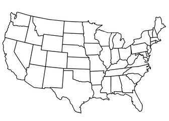 usa country mapfavorite_border favorite
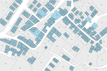 Imaginary cadastral map with buildings, land parcel and vacant plot printed on paperfavorite_border favorite
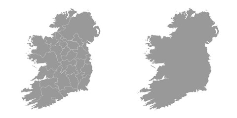 Ireland map with counties and Northern Ireland. Vector illustration.favorite_border favorite
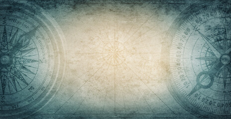 Ancient old compass on the vintage map background. Adventure, discovery, navigation, geography, education, pirate and travel theme concept background. History and geography team. Retro stale.favorite_border favorite
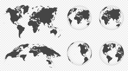 Set of transparent globes of Earth. World map template with continents. Realistic world map in globe shape with transparent texture and shadow. Abstract 3d globe iconfavorite_border favorite
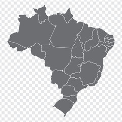 Blank map Brazil. High quality map Brazil with provinces on transparent background for your web site design, logo, app, UI. Stock vector. Vector illustration EPS10.favorite_border favorite
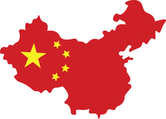 China map icon collection, China map vector set.favorite_border favorite
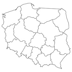 Outline of the map of Poland with regionsfavorite_border favorite
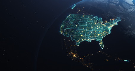 Planet Earth from Space USA, United States highlighted state border and counties animation, elements of this image courtesy of NASAfavorite_border favorite
 Street map of townfavorite_border favorite
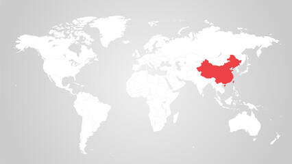 The designation of China on the world map. Red color. White territories of countries on a gray background. Vector illustration.favorite_border favorite
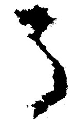 Vietnam map on white background vectorfavorite_border favorite
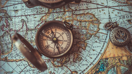 Antique bronze emblem compass on a retro world map vintage style.favorite_border favorite
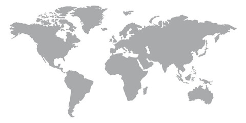 World map silhouette, gray and white, flat design, world map template, vector illustration.favorite_border favorite
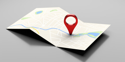 Map pointer location, travel and navigation planning concept. 3d illustrationfavorite_border favorite
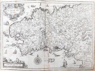 Old map of Brittany (France) - From an 1656 Atlas of Geography from P. du Val - France (Private collection)favorite_border favorite
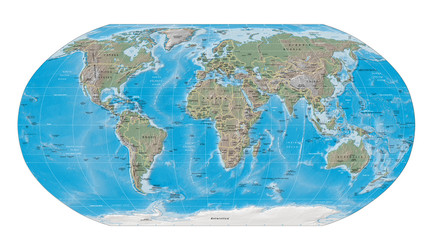 world map physical boundariesfavorite_border favorite
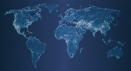 Vector illustration of a glowing world map at night, with shining dots representing cities, population, and global network. The digital earth highlights technology, communication, and major continentsfavorite_border favorite
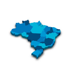 Brazil political map of administrative divisionsfavorite_border favorite
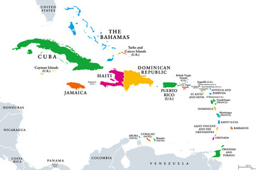 The Caribbean, colored political map. Subregion of the Americas in the Caribbean Sea with its islands and English names. The Greater Antilles and the Lesser Antilles. Isolated illustration over white.favorite_border favorite
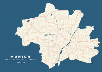 Munich map vector poster flyerfavorite_border favorite
 United Kingdom silhouette map and two patterns of dots and slanted lines. Flat vector illustration isolated on whitefavorite_border favorite
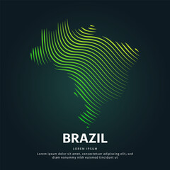 simple logo map of brazil Illustration in a linear style. Abstract line art brazil map Logotype concept icon. Vector logo Brazil map color silhouette on a dark background. EPS 10favorite_border favorite
 Find your way. Location marking with a pin on a map with routes. Adventure, discovery, navigation, communication, logistics, geography, transport and travel theme concept background.favorite_border favorite
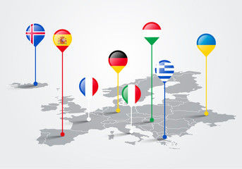 Vector Illustration europe map infographic for slide presentation. Global business marketing concept.favorite_border favorite
 traveler girl hold in hands map and look sun flare, people planning trip, hipster tourist on background nature, enjoy journey landscape vacation trip, lifestyle holiday concept, sun mountainfavorite_border favorite
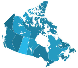 Canada regions mapfavorite_border favorite
 Set of map pointer icons, icons of map pointer , set of map pointer, pointer icon set, icon set of map pin, pin icon, jungle, restaurant, sea, hotel, hospital, school, house, zoo, station, airportfavorite_border favorite
 England map with Walesfavorite_border favorite
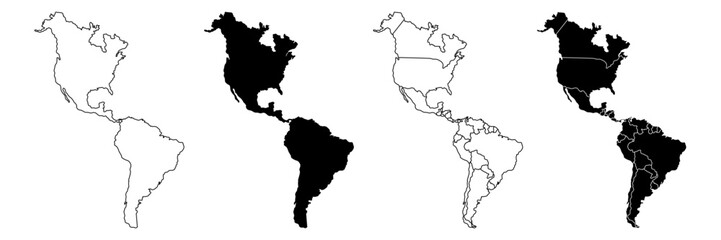 America map,America Continent vector map in white background.America map background with country.America political map. High detailed. Solid simple style. Black and white. Vector editable.favorite_border favorite
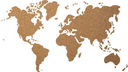 World map cork wood texture cut out on transparent background.favorite_border favorite
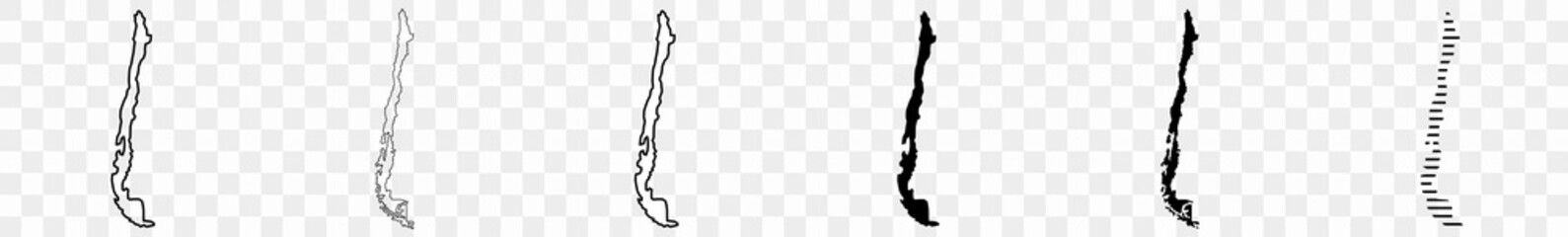 Chile Map Black Chilean Border State Country Transparent Isolated Variationsfavorite_border favorite
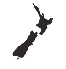 new zealand map shape simplified silhouettefavorite_border favorite
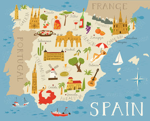 Vector high detailed vector map of Spain with cities and symbols of Spain.favorite_border favorite
 Europe map with countries flagsfavorite_border favorite
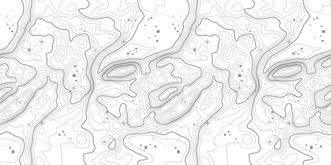 Seamless topography pattern of map lines texture. Contour abstract topographic mountain vector. Topology terrain geographic wood grid with latitude and wavy outlines.favorite_border favorite
 Night planet earth from space with light lines of communication and connection. Business and finance, concept. Global communications system and the World Wide Web. Technologies and communications.favorite_border favorite
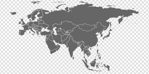 Eurasia Map vector. Gray similar world map blank vector on transparent background. Gray similar Eurasia map with borders of all countries and Countries of the UK. Quality Eurasia map.favorite_border favorite
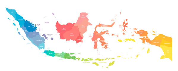 Indonesia political map of administrative divisionsfavorite_border favorite
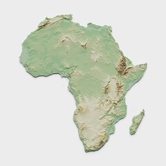 Africa Topographic Relief Map - 3D Renderfavorite_border favorite
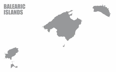 The Balearic Islands silhouette map isolated on white background, Spainfavorite_border favorite
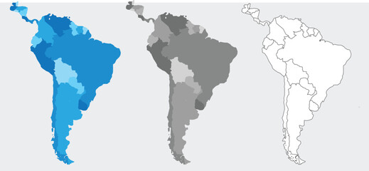 South America map set with proportional designs – colorful, black silhouette, and outlinefavorite_border favorite
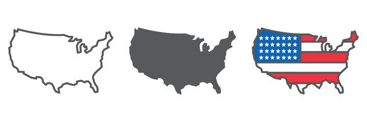 Map of USA icon collection, country and north America, USA map sign vector set graphics, editable stroke linear icon, eps 10favorite_border favorite
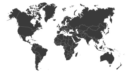 World map vector image isolated on white background. Customizable, individual country color editable.favorite_border favorite
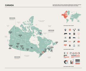 Vector map of Canada. High detailed country map with division, cities and capital Ottawa. Political map, world map, infographic elements.favorite_border favorite
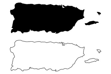 Puerto Rico map vector illustration, scribble sketch Puerto Ricofavorite_border favorite
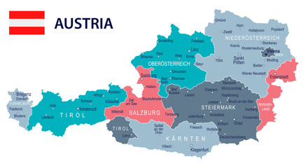 Austria - map and flag – illustrationfavorite_border favorite
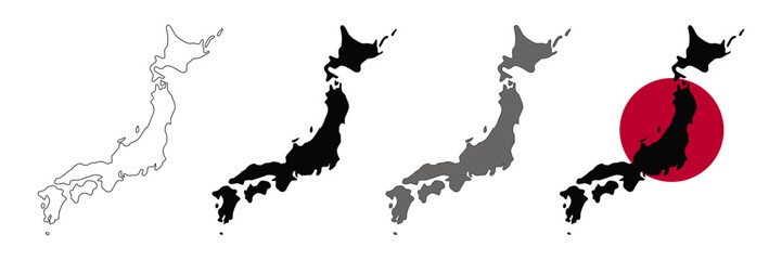 Japan map vector set.favorite_border favorite
 Find your way. Location marking with a blue pin on a old map with wind rose. Adventure, discovery, navigation, communication, logistics, geography, transport and travel theme concept background.favorite_border favorite
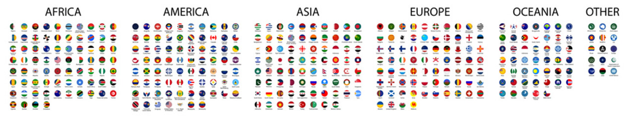 Flag of world. Vector iconsfavorite_border favorite
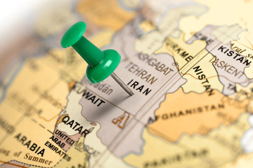 Location Iran. Green pin on the map.favorite_border favorite
 Blue location symbol pin icon sign or navigation locator map travel gps direction pointer and marker place position point design element on route graphic road mark destination background. 3D render.favorite_border favorite
 Vector road map of the city of Torun in Poland with black roads on a white background.favorite_border favorite
 usa map iconfavorite_border favorite
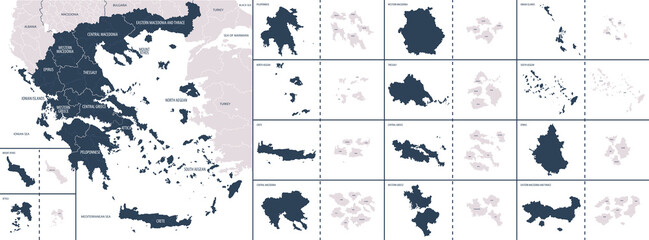 Vector color detailed map of Greece with the administrative divisions of the country, each Regions is presented separately and divided into municipalitiesfavorite_border favorite
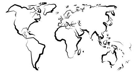 Mapa światafavorite_border favorite
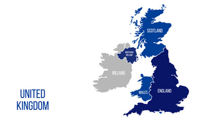 United Kingdom mapfavorite_border favorite
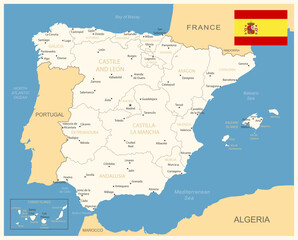 Spain - detailed map with administrative divisions and country flag. Vector illustrationfavorite_border favorite
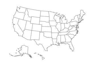 Blank outline map of USAfavorite_border favorite
 Colorful metro scheme, railway transport or city bus mapfavorite_border favorite
 The world map illustrationfavorite_border favorite
 Area map of Kraków, Polandfavorite_border favorite
 Russia political map with capital Moscow and national borders, important citiesfavorite_border favorite
 Canada gray map with provinces. Vector illustration.favorite_border favorite
 Dotted path line with red points. Travel concept with path way. Vector flat map way isolated. Vector illustration.favorite_border favorite
 Detailed map of Bialystok city, Cityscape. Royalty free vector illustration.favorite_border favorite
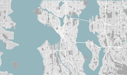 Detailed map of Seattle, USAfavorite_border favorite
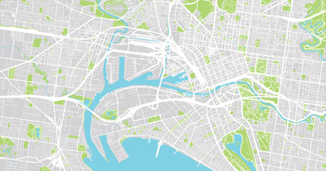 Urban vector city map of Melbourne, Australiafavorite_border favorite
 Labeled U.S. map with all state names on a light blue backgroundfavorite_border favorite
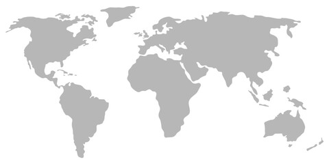 world map earth vector designfavorite_border favorite
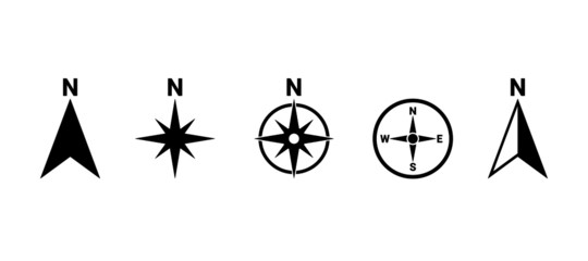 North symbol vector set, direction compass iconfavorite_border favorite
 Pin location map travel road navigation marker of direction place point icon or gps global position system mark sign and searching city route target symbol pointer on destination 3d arrow background.favorite_border favorite
 Background of the topographic map. Topographic map lines, contour background. Geographic abstract grid. EPS 10 vector illustration.favorite_border favorite
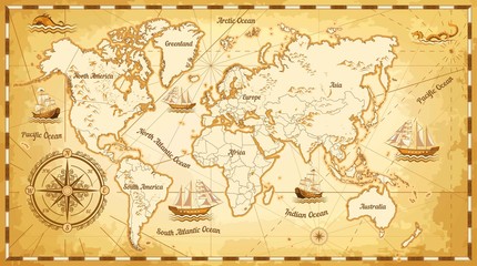 Ancient world map ships and continents compass marine navigationfavorite_border favorite