-
Set of Pakistan map isolated on white background, vector illustration design
Do ulubionych favorite_border
Usuń z ulubionych favorite
-
Vector road map of the city of Atlanta Georgia in the United States of America with white roads on a black background.
Do ulubionych favorite_border
Usuń z ulubionych favorite
-
Gray world map with a dark gray outline on a white background
Do ulubionych favorite_border
Usuń z ulubionych favorite
-
USA map land area vector with state names on black background illustration
Do ulubionych favorite_border
Usuń z ulubionych favorite
-
Flat lay the ancient old vintage surface of paper or parchment. Abstract trendy vintage grunge texture background
Do ulubionych favorite_border
Usuń z ulubionych favorite
-
Communications network map of the world
Do ulubionych favorite_border
Usuń z ulubionych favorite
-
Elevation geodetic map of the mountainous region of the western highlands of Vietnam. BLACK AND WHITE GEOGRAPHIC BACKGROUND STYLE WITH STRONG CONTRAST COLORS SHOWING TEMPERATURE
Do ulubionych favorite_border
Usuń z ulubionych favorite
-
The Rio Grande do Sul State map divided in regions with labels, Brazil
Do ulubionych favorite_border
Usuń z ulubionych favorite
-
Lubelskie province blank outline map set
Do ulubionych favorite_border
Usuń z ulubionych favorite
-
Tourists holding map and pointing in lisbon, portugal
Do ulubionych favorite_border
Usuń z ulubionych favorite
-
いろんな建物と地図の手描きイラストセット(カラー/主線なし)
Do ulubionych favorite_border
Usuń z ulubionych favorite
-
Global precipitations weather map concept.
Do ulubionych favorite_border
Usuń z ulubionych favorite
-
A continuous one line drawing of a google map view in an urban area. route directions and locations. Simple pins on way between two points in thin Linear style. Gps navigation and Travel concept.
Do ulubionych favorite_border
Usuń z ulubionych favorite
-
World map silhouette. Digital simple grey map in flat style. Vector realistic illustration earth isolated on white background
Do ulubionych favorite_border
Usuń z ulubionych favorite
-
Pirate and nautical theme grunge background
Do ulubionych favorite_border
Usuń z ulubionych favorite
-
World map. Blue modern vector map. Silhouette map
Do ulubionych favorite_border
Usuń z ulubionych favorite
-
Tamil Nadu state map in orange – isolated flat vector graphic
Do ulubionych favorite_border
Usuń z ulubionych favorite
-
HDRI map, Abstract iridescent background design, 3d render panoramic 360 view equirectangular hdri studio lights image map
Do ulubionych favorite_border
Usuń z ulubionych favorite
-
Dot line path route travel banner illustration with location map pin icon for destination.
Do ulubionych favorite_border
Usuń z ulubionych favorite
-
World map vector illustrations.
Do ulubionych favorite_border
Usuń z ulubionych favorite
-
Do ulubionych favorite_border
Usuń z ulubionych favorite
-
India country vector map in white background.India map background with states.India political map. High detailed. Solid simple style. Black and white. Vector editable.
Do ulubionych favorite_border
Usuń z ulubionych favorite
-
Vector design of the street map of Detroit against a white background
Do ulubionych favorite_border
Usuń z ulubionych favorite
-
Location pin icon flat vector illustration design
Do ulubionych favorite_border
Usuń z ulubionych favorite
-
Do ulubionych favorite_border
Usuń z ulubionych favorite
-
nordeste, nordestino, dia do nordestino, dia do nordeste, mapa do nordeste
Do ulubionych favorite_border
Usuń z ulubionych favorite
-
Engineer, people and hands with world map on screen for turbine location, power development and data analysis. Interactive display, teamwork and employee pointing to chart area for site selection
Do ulubionych favorite_border
Usuń z ulubionych favorite
-
Line icons about location, time and date on transparent background with editable stroke.
Do ulubionych favorite_border
Usuń z ulubionych favorite
-
Do ulubionych favorite_border
Usuń z ulubionych favorite
-
Detailed map of Madrid, Spain
Do ulubionych favorite_border
Usuń z ulubionych favorite
-
Topographic map background concept
Do ulubionych favorite_border
Usuń z ulubionych favorite
-
Airplane routes set. Plane route line. Planes dotted flight pathway. Plane paths. Aircraft tracking, planes, travel, map pins, location pins. Romantic travel, heart dashed line trace and plane routes.
Do ulubionych favorite_border
Usuń z ulubionych favorite
-
Łódź, Poland, Black and White high resolution vector map
Do ulubionych favorite_border
Usuń z ulubionych favorite
-
Costa Rica map silhouette line country America map illustration vector outline American isolated on white background
Do ulubionych favorite_border
Usuń z ulubionych favorite
-
World Map Vintage Cartoon Detailed - vector
Do ulubionych favorite_border
Usuń z ulubionych favorite
-
Children's map of the world with sights detailed
Do ulubionych favorite_border
Usuń z ulubionych favorite
-
Business curved road map timeline infographic with pointers. Creative concept with 4 options, parts, steps or processes
Do ulubionych favorite_border
Usuń z ulubionych favorite
-
Kyrgyzstan political map with capital Bishkek, national borders, important cities, rivers and lakes. Kyrgyz Republic, formerly known as Kirghizia. Landlocked country in Central Asia. English labeling.
Do ulubionych favorite_border
Usuń z ulubionych favorite
-
A black polygon world map, with a solid silhouette of all continents, isolated against a transparent background. A versatile graphic for global projects.
Do ulubionych favorite_border
Usuń z ulubionych favorite
-
世界地図 ビジネス マップ ピンとマーカーのセット
Do ulubionych favorite_border
Usuń z ulubionych favorite
-
Cute hand drawn traveling map with mountains, tents, trees, hills landscape, adventure for banner, wallpaper, card.
Do ulubionych favorite_border
Usuń z ulubionych favorite
-
Do ulubionych favorite_border
Usuń z ulubionych favorite
-
Old Map of the United States, 1867, Mitchell
Do ulubionych favorite_border
Usuń z ulubionych favorite
-
Close-up showing a man's finger pointing on paper map
Do ulubionych favorite_border
Usuń z ulubionych favorite
-
Urban vector city map of Charlotte, North Carolina, United States of America
Do ulubionych favorite_border
Usuń z ulubionych favorite
-
Abstract map of Spain with hexagon lines
Do ulubionych favorite_border
Usuń z ulubionych favorite
-
Canada region silhouettes set and blank map of the country isolated on white background. Vector illustration design
Do ulubionych favorite_border
Usuń z ulubionych favorite
-
Blank outline map of Europe with Caucasian region. Simplified wireframe map of black lined borders. Vector illustration.
Do ulubionych favorite_border
Usuń z ulubionych favorite
-
Detailed World Map in camouflage colors with a square grid
Do ulubionych favorite_border
Usuń z ulubionych favorite
-
High detailed vector map - Florida.
Do ulubionych favorite_border
Usuń z ulubionych favorite
-
old parchment paper sheet vintage aged or texture background
Do ulubionych favorite_border
Usuń z ulubionych favorite
-
High resolution topographic map of Colorado with land cover, rivers and shaded relief in 1:1.000.000 scale.
Do ulubionych favorite_border
Usuń z ulubionych favorite
-
Lodz, Poland bright vector map
Do ulubionych favorite_border
Usuń z ulubionych favorite
-
Vintage pirate map constructor, vector set of elements on aged parchment background for treasure hunt, exploration and fantasy adventure. Compass roses, sea monsters, sailing ships, skulls and islands
Do ulubionych favorite_border
Usuń z ulubionych favorite
-
Highly detailed Bangladesh map with borders isolated on background
Do ulubionych favorite_border
Usuń z ulubionych favorite
-
Abstract geometric futuristic concept 3d Map of Germany with borders as scribble, blue neon style. 3d rendering
Do ulubionych favorite_border
Usuń z ulubionych favorite
-
Black and dark grey Birmingham city area vector background map, streets and water cartography illustration.
Do ulubionych favorite_border
Usuń z ulubionych favorite
-
Do ulubionych favorite_border
Usuń z ulubionych favorite
-
Vector isolated illustration of simplified administrative map of Indonesia. Borders of the regions. Colorful blue khaki silhouettes
Do ulubionych favorite_border
Usuń z ulubionych favorite
-
Colored World Map - borders, countries and cities - illustration Highly detailed colored vector illustration of world map.
Do ulubionych favorite_border
Usuń z ulubionych favorite
-
Map of Poland icon. Linear icon. Transparent background. Vector isolated elements. Poland map icon line symbol.
Do ulubionych favorite_border
Usuń z ulubionych favorite
-
map of ANDORRA with the countries of EUROPE 3d isometric
Do ulubionych favorite_border
Usuń z ulubionych favorite
-
Set maps of Lower Silesian Voivodeship
Do ulubionych favorite_border
Usuń z ulubionych favorite
-
world map dots isolated modern design vector
Do ulubionych favorite_border
Usuń z ulubionych favorite
-
Urban vector city map of Balitmore, Maryland, United States of America
Do ulubionych favorite_border
Usuń z ulubionych favorite
-
Red marker with a white dot on it, Location map icon vector, location Icon Clip art
Do ulubionych favorite_border
Usuń z ulubionych favorite
-
3d smartphone GPS map navigation illustration
Do ulubionych favorite_border
Usuń z ulubionych favorite
-
White map of the United States of America (USA, America) on white background with shadow or 3d effect. High resolution modern and clean map with states in black and white.
Do ulubionych favorite_border
Usuń z ulubionych favorite
-
Multiple destinations from home. Gps tracking map. Track navigation pins on street maps, navigate mapping technology and locate position pin. Futuristic travel gps map or location navigator vector
Do ulubionych favorite_border
Usuń z ulubionych favorite
-
Vector Illustration Colorful Map Of The World With Country Names
Do ulubionych favorite_border
Usuń z ulubionych favorite
-
ukraine map background with flag
Do ulubionych favorite_border
Usuń z ulubionych favorite
-
United States of America gray 3D map
Do ulubionych favorite_border
Usuń z ulubionych favorite
-
Area map of Dubai, United Arab Emirates
Do ulubionych favorite_border
Usuń z ulubionych favorite
-
California map vector illustration, scribble sketch California map
Do ulubionych favorite_border
Usuń z ulubionych favorite
-
Topographic map abstract terrain concept
Do ulubionych favorite_border
Usuń z ulubionych favorite
-
Topography inspired antique map design showing natural terrain features through classic elevation lines, geographic grid overlay, and weathered textures ideal for geography, exploration.
Do ulubionych favorite_border
Usuń z ulubionych favorite
-
Lodz map. Detailed map of Lodz city poster with streets. Dark vector.
Do ulubionych favorite_border
Usuń z ulubionych favorite
-
Bulgaria grey map on white background
Do ulubionych favorite_border
Usuń z ulubionych favorite
-
Animals vector hand drawn world map
Do ulubionych favorite_border
Usuń z ulubionych favorite
-
sao paolo state location within Brazil 3d map Template for your design
Do ulubionych favorite_border
Usuń z ulubionych favorite
-
map of the city of Cleveland, Ohio, USA
Do ulubionych favorite_border
Usuń z ulubionych favorite
-
Pixelated Mosaic Map of Poland
Do ulubionych favorite_border
Usuń z ulubionych favorite
-
Drawing doodling map elements. Cartoon style collection for create an own unique map. Decorative topography sketch.
Do ulubionych favorite_border
Usuń z ulubionych favorite
-
USA map icon, outline style
Do ulubionych favorite_border
Usuń z ulubionych favorite
-
Mapa polski z wpisanym orłem
Do ulubionych favorite_border
Usuń z ulubionych favorite
-
Southeast Asia map. Indonesia, Malaysia,Thailand, Laos, Philippines, Vietnam, Singapore, Cambodia maps with regions. Asia map isolated on white background. High detailed. Vector illustration
Do ulubionych favorite_border
Usuń z ulubionych favorite
-
The North Carolina counties map isolated on white background
Do ulubionych favorite_border
Usuń z ulubionych favorite
-
Set of map and navigation Icons line style. Included the icons as map, direction, compass, gps navigation, route, direction sign, globe and more. customize color, stroke width control , easy resize.
Do ulubionych favorite_border
Usuń z ulubionych favorite
-
Locator position point. GPS tracking system to navigate around the city landmarks. Detailed city street map with directions to different locations. Vector illustration
Do ulubionych favorite_border
Usuń z ulubionych favorite
-
Do ulubionych favorite_border
Usuń z ulubionych favorite
-
Detailed vector map of Moscow, Russia
Do ulubionych favorite_border
Usuń z ulubionych favorite
-
World map highlighting global connections with network lines for communication and trade representation.
Do ulubionych favorite_border
Usuń z ulubionych favorite
-
3d red map location pointer. Pin code icon of the geolocation map. Plastic cartoon style. Stock vector illustration on isolated background.
Do ulubionych favorite_border
Usuń z ulubionych favorite
-
Vector contour topographic map background. Topography and geography map grid abstract backdrop, Vector illustration of topographic line contour map, Linear graphics. Vector illustration,
Do ulubionych favorite_border
Usuń z ulubionych favorite
-
Ukraine country map backgraund made from abstract halftone dot pattern, Flag concept. Vector illustration isolated on white background
Do ulubionych favorite_border
Usuń z ulubionych favorite
-
mapa konturowa POLSKI, POLSKA
Do ulubionych favorite_border
Usuń z ulubionych favorite
-
surveyor working with forest topography map in digital tablet. land surveying
Do ulubionych favorite_border
Usuń z ulubionych favorite
-
Seychelles map with administrative divisions. Vector illustration.
Do ulubionych favorite_border
Usuń z ulubionych favorite
-
abstract, administrative, america, area, atlas, black, blank, border, boundaries, cartography, cities, contour, counties, county, delaware, design, editable, empty, federal, geography, globe, illustra
Do ulubionych favorite_border
Usuń z ulubionych favorite
-
3d illustration, Middle east region map with Iran. Map of Iran a symbol of conflict
Do ulubionych favorite_border
Usuń z ulubionych favorite
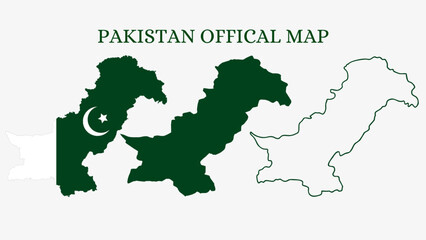 Set of Pakistan map isolated on white background, vector illustration designfavorite_border favorite
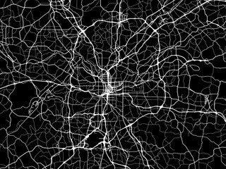 Vector road map of the city of Atlanta Georgia in the United States of America with white roads on a black background.favorite_border favorite
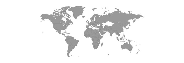 Gray world map with a dark gray outline on a white backgroundfavorite_border favorite
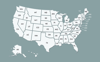 USA map land area vector with state names on black background illustrationfavorite_border favorite
 Flat lay the ancient old vintage surface of paper or parchment. Abstract trendy vintage grunge texture backgroundfavorite_border favorite
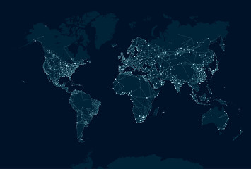 Communications network map of the worldfavorite_border favorite
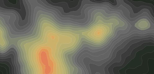 Elevation geodetic map of the mountainous region of the western highlands of Vietnam. BLACK AND WHITE GEOGRAPHIC BACKGROUND STYLE WITH STRONG CONTRAST COLORS SHOWING TEMPERATUREfavorite_border favorite
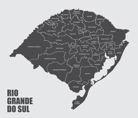 The Rio Grande do Sul State map divided in regions with labels, Brazilfavorite_border favorite
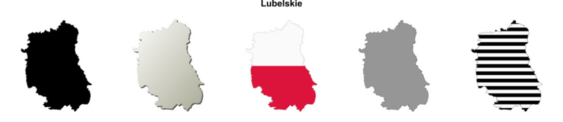 Lubelskie province blank outline map setfavorite_border favorite
 Tourists holding map and pointing in lisbon, portugalfavorite_border favorite
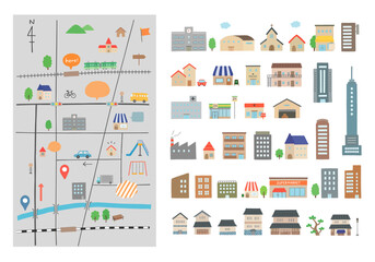 いろんな建物と地図の手描きイラストセット(カラー/主線なし)favorite_border favorite
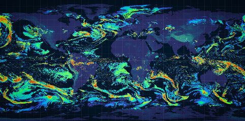 Global precipitations weather map concept.favorite_border favorite
 A continuous one line drawing of a google map view in an urban area. route directions and locations. Simple pins on way between two points in thin Linear style. Gps navigation and Travel concept.favorite_border favorite
 World map silhouette. Digital simple grey map in flat style. Vector realistic illustration earth isolated on white backgroundfavorite_border favorite
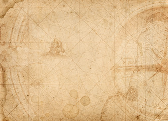 Pirate and nautical theme grunge backgroundfavorite_border favorite
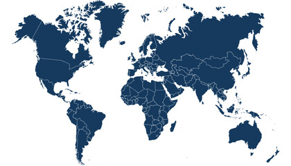 World map. Blue modern vector map. Silhouette mapfavorite_border favorite
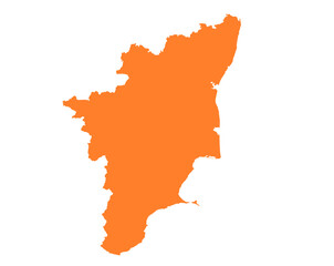 Tamil Nadu state map in orange – isolated flat vector graphicfavorite_border favorite
 HDRI map, Abstract iridescent background design, 3d render panoramic 360 view equirectangular hdri studio lights image mapfavorite_border favorite
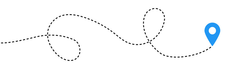 Dot line path route travel banner illustration with location map pin icon for destination.favorite_border favorite
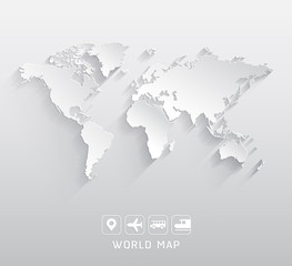 World map vector illustrations.favorite_border favorite
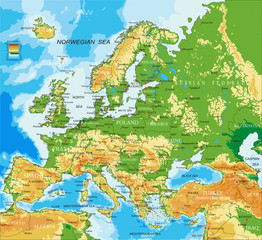 Europe - physical mapfavorite_border favorite
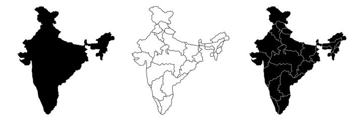 India country vector map in white background.India map background with states.India political map. High detailed. Solid simple style. Black and white. Vector editable.favorite_border favorite
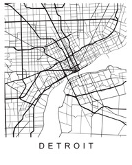 Vector design of the street map of Detroit against a white backgroundfavorite_border favorite
 Location pin icon flat vector illustration designfavorite_border favorite
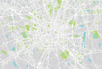 Milan city mapfavorite_border favorite
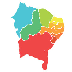 nordeste, nordestino, dia do nordestino, dia do nordeste, mapa do nordestefavorite_border favorite
 Engineer, people and hands with world map on screen for turbine location, power development and data analysis. Interactive display, teamwork and employee pointing to chart area for site selectionfavorite_border favorite
 Line icons about location, time and date on transparent background with editable stroke.favorite_border favorite
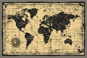 old mapfavorite_border favorite
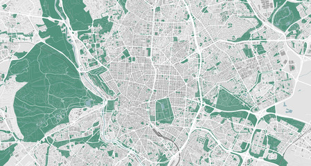 Detailed map of Madrid, Spainfavorite_border favorite
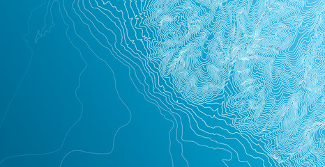 Topographic map background conceptfavorite_border favorite
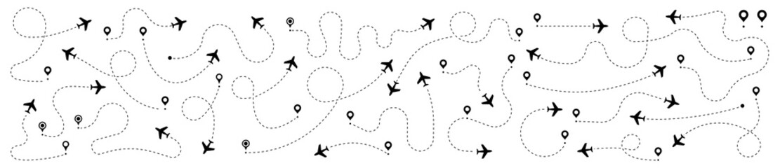 Airplane routes set. Plane route line. Planes dotted flight pathway. Plane paths. Aircraft tracking, planes, travel, map pins, location pins. Romantic travel, heart dashed line trace and plane routes.favorite_border favorite
 Łódź, Poland, Black and White high resolution vector mapfavorite_border favorite
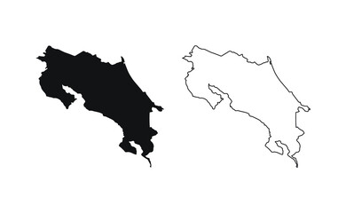 Costa Rica map silhouette line country America map illustration vector outline American isolated on white backgroundfavorite_border favorite
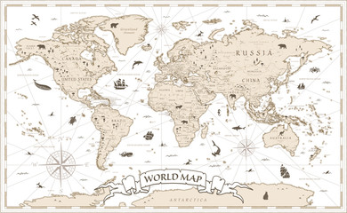 World Map Vintage Cartoon Detailed - vectorfavorite_border favorite
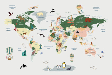 Children's map of the world with sights detailedfavorite_border favorite
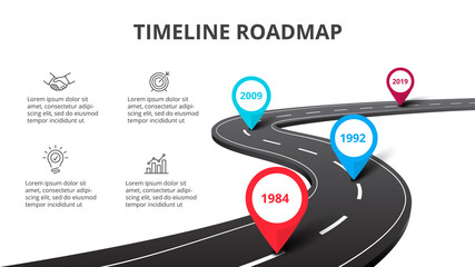 Business curved road map timeline infographic with pointers. Creative concept with 4 options, parts, steps or processesfavorite_border favorite
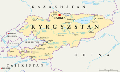 Kyrgyzstan political map with capital Bishkek, national borders, important cities, rivers and lakes. Kyrgyz Republic, formerly known as Kirghizia. Landlocked country in Central Asia. English labeling.favorite_border favorite
 A black polygon world map, with a solid silhouette of all continents, isolated against a transparent background. A versatile graphic for global projects.favorite_border favorite
 世界地図 ビジネス マップ ピンとマーカーのセットfavorite_border favorite
 Cute hand drawn traveling map with mountains, tents, trees, hills landscape, adventure for banner, wallpaper, card.favorite_border favorite
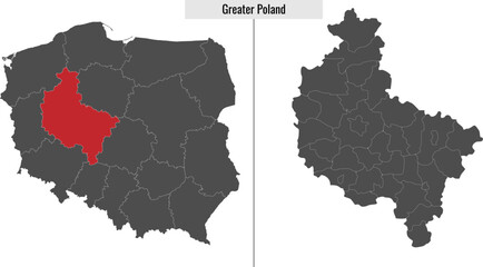 map of Greater Polandfavorite_border favorite
 Old Map of the United States, 1867, Mitchellfavorite_border favorite
 Close-up showing a man's finger pointing on paper mapfavorite_border favorite
 Urban vector city map of Charlotte, North Carolina, United States of Americafavorite_border favorite
 Abstract map of Spain with hexagon linesfavorite_border favorite
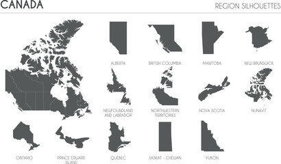 Canada region silhouettes set and blank map of the country isolated on white background. Vector illustration designfavorite_border favorite
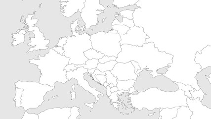 Blank outline map of Europe with Caucasian region. Simplified wireframe map of black lined borders. Vector illustration.favorite_border favorite
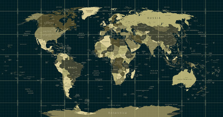 Detailed World Map in camouflage colors with a square gridfavorite_border favorite
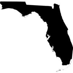 High detailed vector map - Florida.favorite_border favorite
 old parchment paper sheet vintage aged or texture backgroundfavorite_border favorite
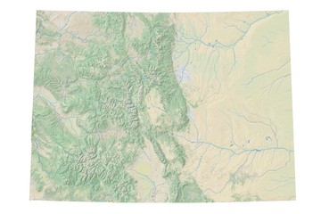 High resolution topographic map of Colorado with land cover, rivers and shaded relief in 1:1.000.000 scale.favorite_border favorite
 Lodz, Poland bright vector mapfavorite_border favorite
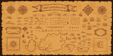 Vintage pirate map constructor, vector set of elements on aged parchment background for treasure hunt, exploration and fantasy adventure. Compass roses, sea monsters, sailing ships, skulls and islandsfavorite_border favorite
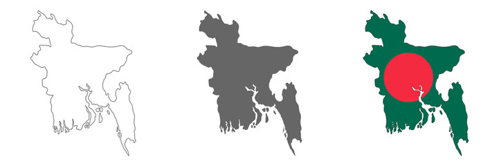 Highly detailed Bangladesh map with borders isolated on backgroundfavorite_border favorite
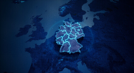 Abstract geometric futuristic concept 3d Map of Germany with borders as scribble, blue neon style. 3d renderingfavorite_border favorite
 Black and dark grey Birmingham city area vector background map, streets and water cartography illustration.favorite_border favorite
 Poland Political Mapfavorite_border favorite
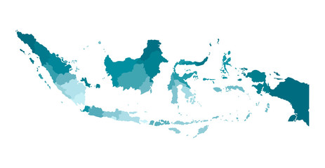 Vector isolated illustration of simplified administrative map of Indonesia. Borders of the regions. Colorful blue khaki silhouettesfavorite_border favorite
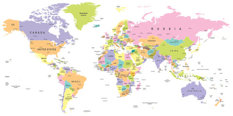 Colored World Map - borders, countries and cities - illustration Highly detailed colored vector illustration of world map.favorite_border favorite
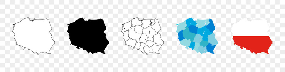 Map of Poland icon. Linear icon. Transparent background. Vector isolated elements. Poland map icon line symbol.favorite_border favorite
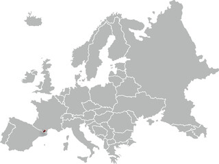 map of ANDORRA with the countries of EUROPE 3d isometricfavorite_border favorite
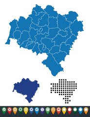 Set maps of Lower Silesian Voivodeshipfavorite_border favorite
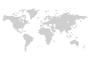 world map dots isolated modern design vectorfavorite_border favorite
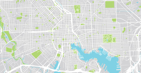 Urban vector city map of Balitmore, Maryland, United States of Americafavorite_border favorite
 Red marker with a white dot on it, Location map icon vector, location Icon Clip artfavorite_border favorite
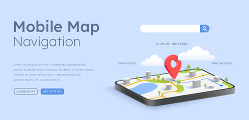 3d smartphone GPS map navigation illustrationfavorite_border favorite
 White map of the United States of America (USA, America) on white background with shadow or 3d effect. High resolution modern and clean map with states in black and white.favorite_border favorite
 Multiple destinations from home. Gps tracking map. Track navigation pins on street maps, navigate mapping technology and locate position pin. Futuristic travel gps map or location navigator vectorfavorite_border favorite
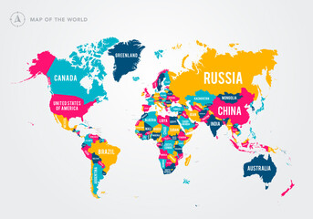 Vector Illustration Colorful Map Of The World With Country Namesfavorite_border favorite
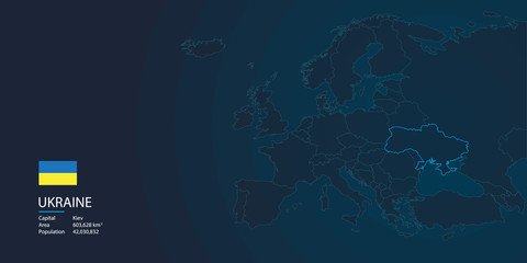 ukraine map background with flagfavorite_border favorite
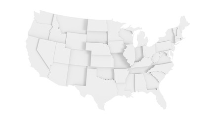 United States of America gray 3D mapfavorite_border favorite
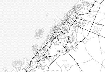 Area map of Dubai, United Arab Emiratesfavorite_border favorite
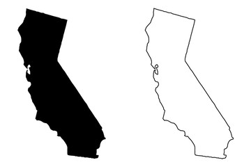 California map vector illustration, scribble sketch California mapfavorite_border favorite
 Topographic map abstract terrain conceptfavorite_border favorite
 Topography inspired antique map design showing natural terrain features through classic elevation lines, geographic grid overlay, and weathered textures ideal for geography, exploration.favorite_border favorite
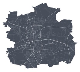 Lodz map. Detailed map of Lodz city poster with streets. Dark vector.favorite_border favorite
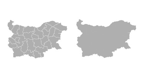 Bulgaria grey map on white backgroundfavorite_border favorite
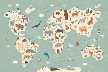 Animals vector hand drawn world mapfavorite_border favorite
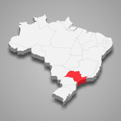 sao paolo state location within Brazil 3d map Template for your designfavorite_border favorite
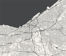 map of the city of Cleveland, Ohio, USAfavorite_border favorite
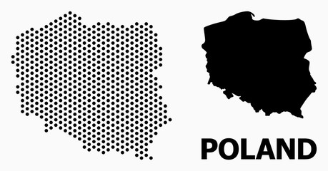 Pixelated Mosaic Map of Polandfavorite_border favorite
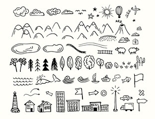 Drawing doodling map elements. Cartoon style collection for create an own unique map. Decorative topography sketch.favorite_border favorite
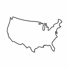 USA map icon, outline stylefavorite_border favorite
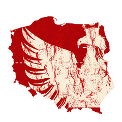 Mapa polski z wpisanym orłemfavorite_border favorite
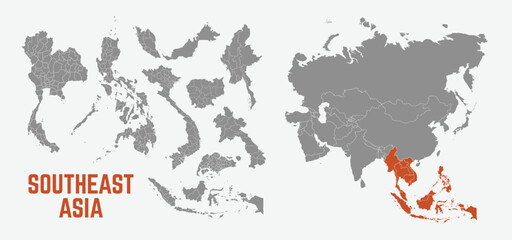 Southeast Asia map. Indonesia, Malaysia,Thailand, Laos, Philippines, Vietnam, Singapore, Cambodia maps with regions. Asia map isolated on white background. High detailed. Vector illustrationfavorite_border favorite
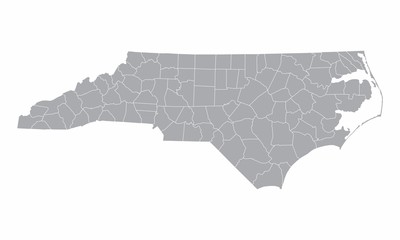 The North Carolina counties map isolated on white backgroundfavorite_border favorite
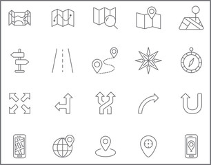 Set of map and navigation Icons line style. Included the icons as map, direction, compass, gps navigation, route, direction sign, globe and more. customize color, stroke width control , easy resize.favorite_border favorite
 Locator position point. GPS tracking system to navigate around the city landmarks. Detailed city street map with directions to different locations. Vector illustrationfavorite_border favorite
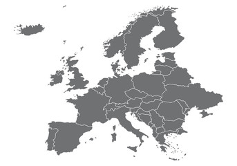 Europa Karte Vektorenfavorite_border favorite
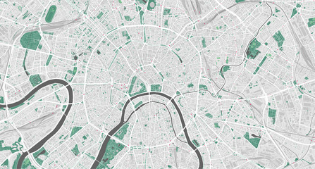 Detailed vector map of Moscow, Russiafavorite_border favorite
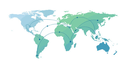 World map highlighting global connections with network lines for communication and trade representation.favorite_border favorite
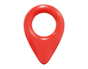 3d red map location pointer. Pin code icon of the geolocation map. Plastic cartoon style. Stock vector illustration on isolated background.favorite_border favorite
 Vector contour topographic map background. Topography and geography map grid abstract backdrop, Vector illustration of topographic line contour map, Linear graphics. Vector illustration,favorite_border favorite
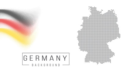 Ukraine country map backgraund made from abstract halftone dot pattern, Flag concept. Vector illustration isolated on white backgroundfavorite_border favorite
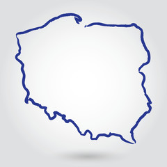 mapa konturowa POLSKI, POLSKAfavorite_border favorite
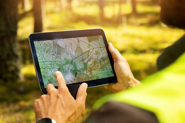 surveyor working with forest topography map in digital tablet. land surveyingfavorite_border favorite
 Seychelles map with administrative divisions. Vector illustration.favorite_border favorite
 abstract, administrative, america, area, atlas, black, blank, border, boundaries, cartography, cities, contour, counties, county, delaware, design, editable, empty, federal, geography, globe, illustrafavorite_border favorite
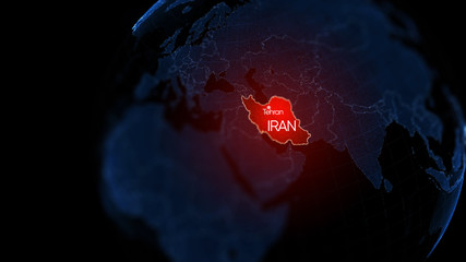 3d illustration, Middle east region map with Iran. Map of Iran a symbol of conflictfavorite_border favorite