-
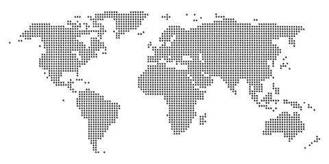
Pixelated world map illustration displaying continents and oceans in a minimalist style
Do ulubionych favorite_border
Usuń z ulubionych favorite
-
Gray world map with country borders in white outline on transparent background, political cartography simple illustration
Do ulubionych favorite_border
Usuń z ulubionych favorite
-
world map with all state and countries names on white background
Do ulubionych favorite_border
Usuń z ulubionych favorite
-
World map icon, black and white line drawing on white background with globe continents minimalist outline design
Do ulubionych favorite_border
Usuń z ulubionych favorite
-
Dotted world map in a square shape. Continents with a dotted halftone pattern. Design for business and marketing materials representing continents and country with a unique square dot pattern
Do ulubionych favorite_border
Usuń z ulubionych favorite
-
Abstract world map composed of black dots on a white background representing global connection and data
Do ulubionych favorite_border
Usuń z ulubionych favorite
-
Political World Map: Global Network Centralized in Europe with Contrasting Country Colors
Do ulubionych favorite_border
Usuń z ulubionych favorite
-
Colorful World Map with Vibrant Continents and Country Labels for Education, Geography Learning, Travel Planning, Classroom Posters, Global Studies, and Informative Visual Reference
Do ulubionych favorite_border
Usuń z ulubionych favorite
-
Dotted world map for global data connection and network technology concept.
Do ulubionych favorite_border
Usuń z ulubionych favorite
-
Global data visualization with red sinusoidal trendline, teal vertical bars, and subtle world map overlay on dark navy background showing international economic fluctuations
Do ulubionych favorite_border
Usuń z ulubionych favorite
-
dot world map. dotted world map silhouette isolated on white background
Do ulubionych favorite_border
Usuń z ulubionych favorite
-
Black Outline Globe Grid Icon Set Featuring Eighteen Minimalist World Spheres With Latitudinal and Longitudinal Lines for Global Connectivity and Logistics
Do ulubionych favorite_border
Usuń z ulubionych favorite
-
Abstract Dotted World Map with Curved Horizon and Perspective - Minimalist Halftone Global Data Vector
Do ulubionych favorite_border
Usuń z ulubionych favorite
-
Simple Grey World Map with Pacific Ocean Center View
Do ulubionych favorite_border
Usuń z ulubionych favorite
-
Global WiFi Connection Line Art – World Internet Network Outline Illustration Global Internet Connectivity Line Art
Do ulubionych favorite_border
Usuń z ulubionych favorite
-
Earth Globe Icon Set – World Map, Planet Earth and Global Line & Flat Vector Symbols for Web and International Design
Do ulubionych favorite_border
Usuń z ulubionych favorite
-
Dotted world map illustration, curved global perspective, minimalist black dot design, geographic data visualization, flat vector artwork
Do ulubionych favorite_border
Usuń z ulubionych favorite
-
World map outline with highlighted continents and islands on a transparent background
Do ulubionych favorite_border
Usuń z ulubionych favorite
-
Abstract world map composed of black dots on a white background representing global connections and data points
Do ulubionych favorite_border
Usuń z ulubionych favorite
-
World map. Square dots. Vector illustration.
Do ulubionych favorite_border
Usuń z ulubionych favorite
-
simple world map vector illustration
Do ulubionych favorite_border
Usuń z ulubionych favorite
-
Digital Dotted World Map with Glowing Blue Lights. Global Network and Technology Background.
Do ulubionych favorite_border
Usuń z ulubionych favorite
-
World map made of dots global connection concept
Do ulubionych favorite_border
Usuń z ulubionych favorite
-
Global Network Connection Earth with World Map Points and Lines – Digital Technology, International Business, Data Communication Vector Illustration
Do ulubionych favorite_border
Usuń z ulubionych favorite
-
An artistic grunge watercolor world map illustration featuring vintage paper textures and continents like Europe, Asia, and America for a global geography travel atlas of the earth
Do ulubionych favorite_border
Usuń z ulubionych favorite
-
World map dotted halftone silhouette isolated on white background. Black white monochrome contour of continents including Antarctica. Vector clipart for travel banner back design, global event news.
Do ulubionych favorite_border
Usuń z ulubionych favorite
-
Globe web icons in line style. Planet Earth, world map, global, travel, collection. Editable stroke. Vector illustration.
Do ulubionych favorite_border
Usuń z ulubionych favorite
-
Dotted Halftone World Map Vector, Global Dot Pattern Earth Design, Minimal Black and White Geographic Illustration
Do ulubionych favorite_border
Usuń z ulubionych favorite
-
Simple black and white illustration of planet earth with visible continents
Do ulubionych favorite_border
Usuń z ulubionych favorite
-
Halftone world map with dot pattern, dot textured continents graphic map, black and white Earth infographic. Vector isolated template great for digital design.
Do ulubionych favorite_border
Usuń z ulubionych favorite
-
Antique world map collage inspired by old cartography of the 18, 19 century. Old geographical map with continents, oceans, ships, and compass roses on aged parchment background.
Do ulubionych favorite_border
Usuń z ulubionych favorite
-
Minimal world map with blue location pins representing global connections and international network coverage
Do ulubionych favorite_border
Usuń z ulubionych favorite
-
Abstract digital world map with glowing data points and graphical user interface elements displayed
Do ulubionych favorite_border
Usuń z ulubionych favorite
-
World map. Blue modern vector map. Silhouette map
Do ulubionych favorite_border
Usuń z ulubionych favorite
-
Curved World Map Silhouette - Global Perspective Vector Illustration
Do ulubionych favorite_border
Usuń z ulubionych favorite
-
black colored vector illustration of political world map outline with gold colored borders
Do ulubionych favorite_border
Usuń z ulubionych favorite
-
World map with network connections and circuit board patterns overlaid on a gradient background
Do ulubionych favorite_border
Usuń z ulubionych favorite
-
Global map in blue tones on black background with pixelated design
Do ulubionych favorite_border
Usuń z ulubionych favorite
-
World map made of light gray hexagons on white background—modern, abstract, and ideal for data visuals, tech design, or global themes.
Do ulubionych favorite_border
Usuń z ulubionych favorite
-
Vector world map with continents highlighted in different colors perfect for infographics
Do ulubionych favorite_border
Usuń z ulubionych favorite
-
World map digital dots global technology background. Abstract data visualization network communication earth design.
Do ulubionych favorite_border
Usuń z ulubionych favorite
-
A simplified world map illustration with continents in a muted blue tone
Do ulubionych favorite_border
Usuń z ulubionych favorite
-
World map illustration gray dotted continents on white background
Do ulubionych favorite_border
Usuń z ulubionych favorite
-
World Map Technology Network Connection – Futuristic Global Target Location Vector with Glowing Lines and Points for Infographic and Web Interface Design
Do ulubionych favorite_border
Usuń z ulubionych favorite
-
An exquisitely crafted Detailed Wooden World Map that incorporates Nautical Elements beautifully
Do ulubionych favorite_border
Usuń z ulubionych favorite
-
Abstract world map created with blue circles on transparent background global concept illustration
Do ulubionych favorite_border
Usuń z ulubionych favorite
-
Very detailed high quality world map with state borders isolated on white background
Do ulubionych favorite_border
Usuń z ulubionych favorite
-
Curved World Map Silhouette with Blue Earth Globe – Global Business Geography and Travel Vector Infographic
Do ulubionych favorite_border
Usuń z ulubionych favorite
-
Detailed world map with borders of states. Isolated world map. Isolated on white background. Vector illustration
Do ulubionych favorite_border
Usuń z ulubionych favorite
-
World Map vector. Detailed illustration of worldmap
Do ulubionych favorite_border
Usuń z ulubionych favorite
-
World map dotted vector illustration
Do ulubionych favorite_border
Usuń z ulubionych favorite
-
Do ulubionych favorite_border
Usuń z ulubionych favorite
-
World map earth globe with dot pattern. 3d worldwide global icon, halftone pixel texture, isolated worldmap. Vector international business, travel abstract political concept
Do ulubionych favorite_border
Usuń z ulubionych favorite
-
World map showing country borders. Gray world map isolated with border. Vector stock illustration.
Do ulubionych favorite_border
Usuń z ulubionych favorite
-
Detailed Gray World Map Separated Country Vector Design
Do ulubionych favorite_border
Usuń z ulubionych favorite
-
World map with countries, country and city names
Do ulubionych favorite_border
Usuń z ulubionych favorite
-
Do ulubionych favorite_border
Usuń z ulubionych favorite
-
World map. Color vector modern. Silhouette map.
Do ulubionych favorite_border
Usuń z ulubionych favorite
-
Set of flat earth world maps with dots in different resolution. Round pixel pattern. Modern digital globe. Black dots on white background. Worldmap template for website, infographics, design.
Do ulubionych favorite_border
Usuń z ulubionych favorite
-
World Map - highly detailed vector illustration.
Do ulubionych favorite_border
Usuń z ulubionych favorite
-
Teal world map with dotted lines connecting continents, illustrating a global network, travel, and communication.
Do ulubionych favorite_border
Usuń z ulubionych favorite
-
Mapa świata z zaznaczonymi kontynentami.
Do ulubionych favorite_border
Usuń z ulubionych favorite
-
Political World Map - High-Detail, Multi-Colored Winkel Tripel Projection
Do ulubionych favorite_border
Usuń z ulubionych favorite
-
Do ulubionych favorite_border
Usuń z ulubionych favorite
-
Simplified world map (centered on Europe / African Continent)
Do ulubionych favorite_border
Usuń z ulubionych favorite
-
Global networking and international communication. World map as a symbol of the global network. Elements of this image furnished by NASA.
Do ulubionych favorite_border
Usuń z ulubionych favorite
-
Do ulubionych favorite_border
Usuń z ulubionych favorite
-
world map - Colourful Illustration in pastel blues and greens, showing country names, State names (USA & Australia), capital cities, major lakes and oceans. Print at no less than 36". Jpeg image
Do ulubionych favorite_border
Usuń z ulubionych favorite
-
Hi Detail Vector Political World Map illustration
Do ulubionych favorite_border
Usuń z ulubionych favorite
-
World map highlighting global connections with network lines for communication and trade representation.
Do ulubionych favorite_border
Usuń z ulubionych favorite
-
World Map vector. Detailed illustration of worldmap
Do ulubionych favorite_border
Usuń z ulubionych favorite
-
Do ulubionych favorite_border
Usuń z ulubionych favorite
-
Curved world map silhouette, half globe of blue planet Earth, global business geography, worldwide international. Africa, Asia and America, Europe, Australia continents. Travel vector infographics
Do ulubionych favorite_border
Usuń z ulubionych favorite
-
Blue vintage world map illustration based on image furnished by NASA
Do ulubionych favorite_border
Usuń z ulubionych favorite
-
White world map on grey background. High detail political map with country names. Vector Illustration.
Do ulubionych favorite_border
Usuń z ulubionych favorite
-
World map, detailed country map of the world, blue template for annual report format, business, infographic, global tourism - vector
Do ulubionych favorite_border
Usuń z ulubionych favorite
-
Do ulubionych favorite_border
Usuń z ulubionych favorite
-
Detailed world map with borders of states. Isolated world map. Isolated on white background. Vector illustration.
Do ulubionych favorite_border
Usuń z ulubionych favorite
-
Do ulubionych favorite_border
Usuń z ulubionych favorite
-
World Map Political and Flags - Vector Detailed Illustration
Do ulubionych favorite_border
Usuń z ulubionych favorite
-
Vector Light World Map With Infographic Pointer Marks, Communication Concept Chart
Do ulubionych favorite_border
Usuń z ulubionych favorite
-
World map. Poster of world, earth map with countries, isolated silhouettes of countries on blue background. White and gray blue color hand-drawn poster world map. Vector Illustration
Do ulubionych favorite_border
Usuń z ulubionych favorite
-
world map made with dots and lines
Do ulubionych favorite_border
Usuń z ulubionych favorite
-
map of world on transparent background
Do ulubionych favorite_border
Usuń z ulubionych favorite
-
World map vector grey isolated on white background. Flat Earth, Globe world map icon. Travel worldwide eps 10
Do ulubionych favorite_border
Usuń z ulubionych favorite
-
Weltkarte - Hellgrau (hoher Detailgrad)
Do ulubionych favorite_border
Usuń z ulubionych favorite
-
Planisphère Mappemonde Vintage - Textes en français. Vecteur CMJN
Do ulubionych favorite_border
Usuń z ulubionych favorite
-
World Map vector. Gray similar world map blank vector on transparent background. Gray similar world map with borders of all countries and States of USA map. High quality world map. EPS10.
Do ulubionych favorite_border
Usuń z ulubionych favorite
-
World Map Outline Contour Silhouette - Asia in Center
Do ulubionych favorite_border
Usuń z ulubionych favorite
-
Do ulubionych favorite_border
Usuń z ulubionych favorite
-
Animals world map. Beautiful cheerful colorful vector illustration for children and kids. With the inscription of the oceans and continents. Preschool, baby, continents, oceans, drawn, Earth
Do ulubionych favorite_border
Usuń z ulubionych favorite
-
Vector antique world map with countries boundaries
Do ulubionych favorite_border
Usuń z ulubionych favorite
-
World Map vector. Detailed illustration of worldmap
Do ulubionych favorite_border
Usuń z ulubionych favorite
-
Highly detailed political world map
Do ulubionych favorite_border
Usuń z ulubionych favorite
-
World map on blue background
Do ulubionych favorite_border
Usuń z ulubionych favorite
-
2 World map on white background . vector map black and grey map illustration
Do ulubionych favorite_border
Usuń z ulubionych favorite
-
Do ulubionych favorite_border
Usuń z ulubionych favorite
-
The world map with cartoon animals for kids, nature, discovery and continent name, ocean name, vector Illustration.
Do ulubionych favorite_border
Usuń z ulubionych favorite
-
Wireless communication smart city and network technology of the world.
Do ulubionych favorite_border
Usuń z ulubionych favorite
-
World Map - Political - Vector Detailed Illustration
Do ulubionych favorite_border
Usuń z ulubionych favorite
 Pixelated world map illustration displaying continents and oceans in a minimalist stylefavorite_border favorite
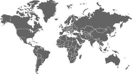 Gray world map with country borders in white outline on transparent background, political cartography simple illustrationfavorite_border favorite
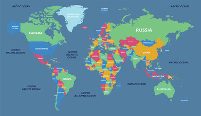 world map with all state and countries names on white backgroundfavorite_border favorite
 World map icon, black and white line drawing on white background with globe continents minimalist outline designfavorite_border favorite
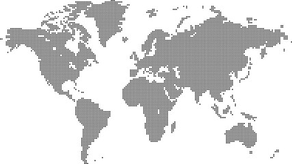 Dotted world map in a square shape. Continents with a dotted halftone pattern. Design for business and marketing materials representing continents and country with a unique square dot patternfavorite_border favorite
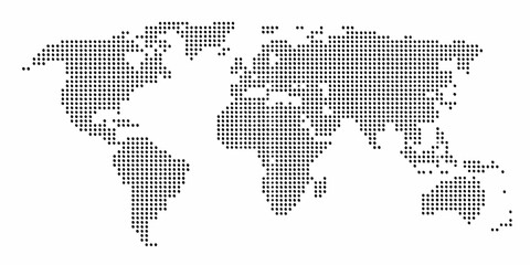 Abstract world map composed of black dots on a white background representing global connection and datafavorite_border favorite
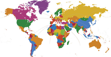 Political World Map: Global Network Centralized in Europe with Contrasting Country Colorsfavorite_border favorite
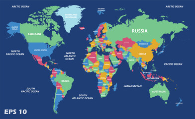 Colorful World Map with Vibrant Continents and Country Labels for Education, Geography Learning, Travel Planning, Classroom Posters, Global Studies, and Informative Visual Referencefavorite_border favorite
 Dotted world map for global data connection and network technology concept.favorite_border favorite
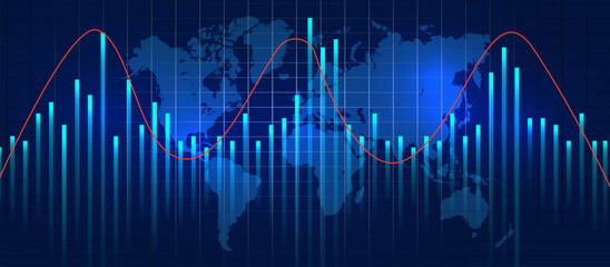 Global data visualization with red sinusoidal trendline, teal vertical bars, and subtle world map overlay on dark navy background showing international economic fluctuationsfavorite_border favorite
 dot world map. dotted world map silhouette isolated on white backgroundfavorite_border favorite
 Black Outline Globe Grid Icon Set Featuring Eighteen Minimalist World Spheres With Latitudinal and Longitudinal Lines for Global Connectivity and Logisticsfavorite_border favorite
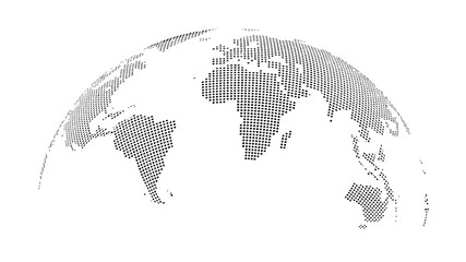 Abstract Dotted World Map with Curved Horizon and Perspective - Minimalist Halftone Global Data Vectorfavorite_border favorite
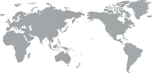 Simple Grey World Map with Pacific Ocean Center Viewfavorite_border favorite
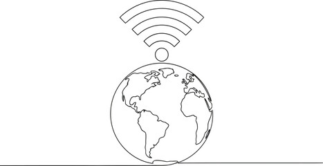 Global WiFi Connection Line Art – World Internet Network Outline Illustration Global Internet Connectivity Line Artfavorite_border favorite
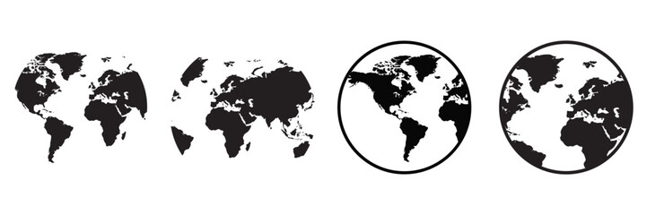 Earth Globe Icon Set – World Map, Planet Earth and Global Line & Flat Vector Symbols for Web and International Designfavorite_border favorite
 Dotted world map illustration, curved global perspective, minimalist black dot design, geographic data visualization, flat vector artworkfavorite_border favorite
 World map outline with highlighted continents and islands on a transparent backgroundfavorite_border favorite
 Abstract world map composed of black dots on a white background representing global connections and data pointsfavorite_border favorite
 World map. Square dots. Vector illustration.favorite_border favorite
 simple world map vector illustrationfavorite_border favorite
 Digital Dotted World Map with Glowing Blue Lights. Global Network and Technology Background.favorite_border favorite
 World map made of dots global connection conceptfavorite_border favorite
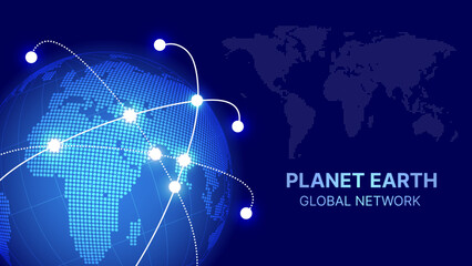 Global Network Connection Earth with World Map Points and Lines – Digital Technology, International Business, Data Communication Vector Illustrationfavorite_border favorite
 An artistic grunge watercolor world map illustration featuring vintage paper textures and continents like Europe, Asia, and America for a global geography travel atlas of the earthfavorite_border favorite
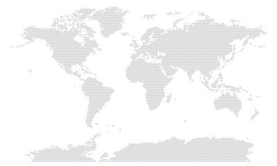 World map dotted halftone silhouette isolated on white background. Black white monochrome contour of continents including Antarctica. Vector clipart for travel banner back design, global event news.favorite_border favorite
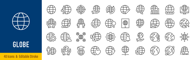 Globe web icons in line style. Planet Earth, world map, global, travel, collection. Editable stroke. Vector illustration.favorite_border favorite
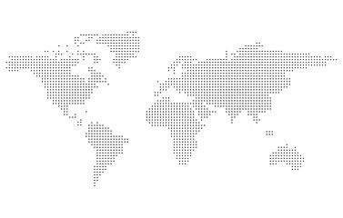 Dotted Halftone World Map Vector, Global Dot Pattern Earth Design, Minimal Black and White Geographic Illustrationfavorite_border favorite
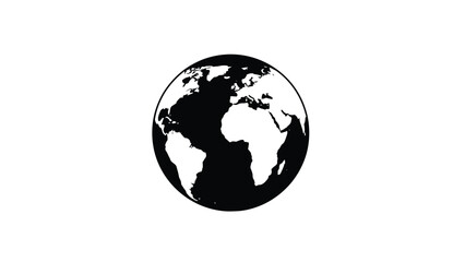 Simple black and white illustration of planet earth with visible continentsfavorite_border favorite
 Halftone world map with dot pattern, dot textured continents graphic map, black and white Earth infographic. Vector isolated template great for digital design.favorite_border favorite
 Antique world map collage inspired by old cartography of the 18, 19 century. Old geographical map with continents, oceans, ships, and compass roses on aged parchment background.favorite_border favorite
 Minimal world map with blue location pins representing global connections and international network coveragefavorite_border favorite
 Abstract digital world map with glowing data points and graphical user interface elements displayedfavorite_border favorite
 World map. Blue modern vector map. Silhouette mapfavorite_border favorite
 Curved World Map Silhouette - Global Perspective Vector Illustrationfavorite_border favorite
 black colored vector illustration of political world map outline with gold colored bordersfavorite_border favorite
 World map with network connections and circuit board patterns overlaid on a gradient backgroundfavorite_border favorite
 Global map in blue tones on black background with pixelated designfavorite_border favorite
 World map made of light gray hexagons on white background—modern, abstract, and ideal for data visuals, tech design, or global themes.favorite_border favorite
 Vector world map with continents highlighted in different colors perfect for infographicsfavorite_border favorite
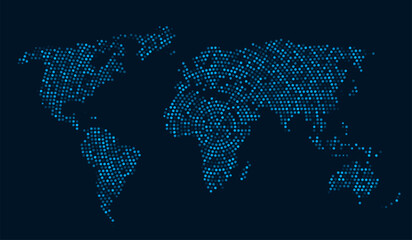 World map digital dots global technology background. Abstract data visualization network communication earth design.favorite_border favorite
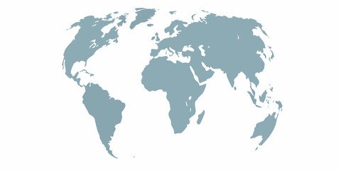 A simplified world map illustration with continents in a muted blue tonefavorite_border favorite
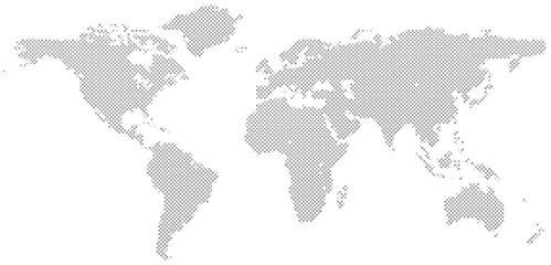 World map illustration gray dotted continents on white backgroundfavorite_border favorite
 World Map Technology Network Connection – Futuristic Global Target Location Vector with Glowing Lines and Points for Infographic and Web Interface Designfavorite_border favorite
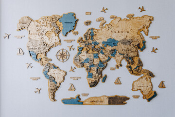 An exquisitely crafted Detailed Wooden World Map that incorporates Nautical Elements beautifullyfavorite_border favorite
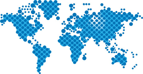 Abstract world map created with blue circles on transparent background global concept illustrationfavorite_border favorite
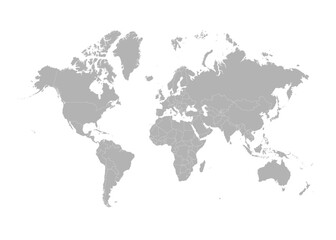 Very detailed high quality world map with state borders isolated on white backgroundfavorite_border favorite
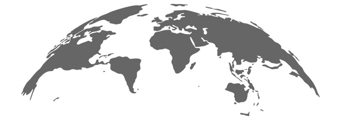 Curved World Map Silhouette with Blue Earth Globe – Global Business Geography and Travel Vector Infographicfavorite_border favorite
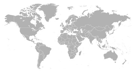 Detailed world map with borders of states. Isolated world map. Isolated on white background. Vector illustrationfavorite_border favorite
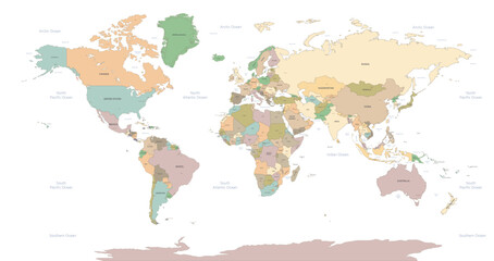 World Map vector. Detailed illustration of worldmapfavorite_border favorite
 World map dotted vector illustrationfavorite_border favorite
 Mapa światafavorite_border favorite
 World map earth globe with dot pattern. 3d worldwide global icon, halftone pixel texture, isolated worldmap. Vector international business, travel abstract political conceptfavorite_border favorite
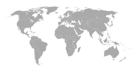 World map showing country borders. Gray world map isolated with border. Vector stock illustration.favorite_border favorite
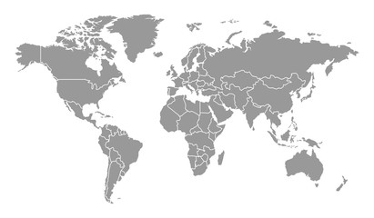 Detailed Gray World Map Separated Country Vector Designfavorite_border favorite
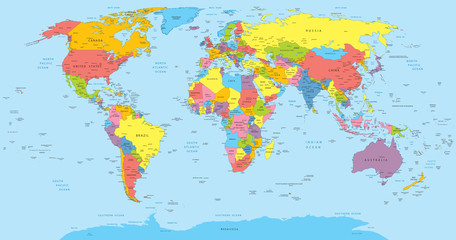 World map with countries, country and city namesfavorite_border favorite
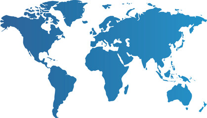 世界地図 グラデーションfavorite_border favorite
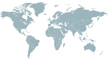 World map. Color vector modern. Silhouette map.favorite_border favorite
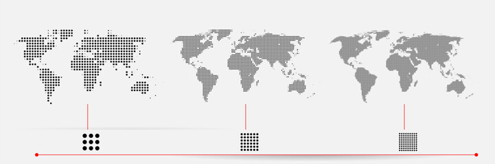 Set of flat earth world maps with dots in different resolution. Round pixel pattern. Modern digital globe. Black dots on white background. Worldmap template for website, infographics, design.favorite_border favorite
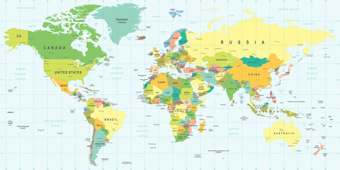 World Map - highly detailed vector illustration.favorite_border favorite
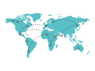 Teal world map with dotted lines connecting continents, illustrating a global network, travel, and communication.favorite_border favorite
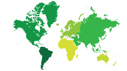 Mapa świata z zaznaczonymi kontynentami.favorite_border favorite
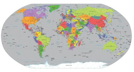 Political World Map - High-Detail, Multi-Colored Winkel Tripel Projectionfavorite_border favorite
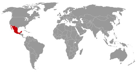 Mexiko auf der Weltkartefavorite_border favorite
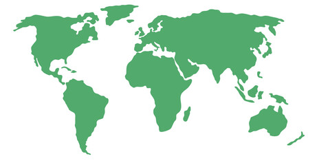 Simplified world map (centered on Europe / African Continent)favorite_border favorite
 Global networking and international communication. World map as a symbol of the global network. Elements of this image furnished by NASA.favorite_border favorite
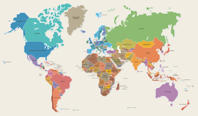 世界地図 色分け 国名 ベクター イラストfavorite_border favorite
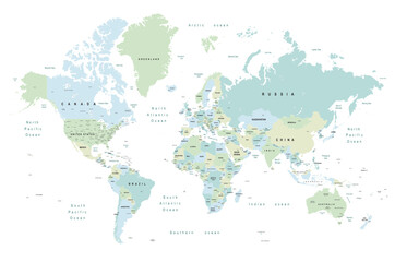 world map - Colourful Illustration in pastel blues and greens, showing country names, State names (USA & Australia), capital cities, major lakes and oceans. Print at no less than 36". Jpeg imagefavorite_border favorite
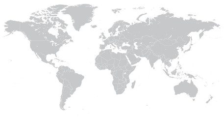 Hi Detail Vector Political World Map illustrationfavorite_border favorite
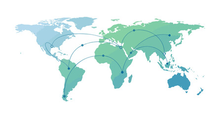 World map highlighting global connections with network lines for communication and trade representation.favorite_border favorite
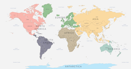 World Map vector. Detailed illustration of worldmapfavorite_border favorite
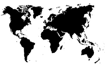 Mapa świata 2favorite_border favorite
 Curved world map silhouette, half globe of blue planet Earth, global business geography, worldwide international. Africa, Asia and America, Europe, Australia continents. Travel vector infographicsfavorite_border favorite
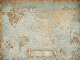 Blue vintage world map illustration based on image furnished by NASAfavorite_border favorite
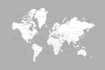 White world map on grey background. High detail political map with country names. Vector Illustration.favorite_border favorite
 World map, detailed country map of the world, blue template for annual report format, business, infographic, global tourism - vectorfavorite_border favorite
 世界地図 緑favorite_border favorite
 Detailed world map with borders of states. Isolated world map. Isolated on white background. Vector illustration.favorite_border favorite
 世界地図 - world map -favorite_border favorite
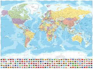 World Map Political and Flags - Vector Detailed Illustrationfavorite_border favorite
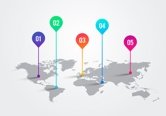 Vector Light World Map With Infographic Pointer Marks, Communication Concept Chartfavorite_border favorite
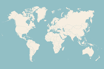 World map. Poster of world, earth map with countries, isolated silhouettes of countries on blue background. White and gray blue color hand-drawn poster world map. Vector Illustrationfavorite_border favorite
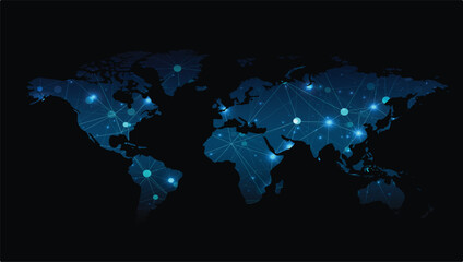 world map made with dots and linesfavorite_border favorite
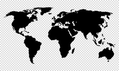 map of world on transparent backgroundfavorite_border favorite
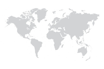 World map vector grey isolated on white background. Flat Earth, Globe world map icon. Travel worldwide eps 10favorite_border favorite
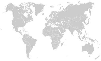 Weltkarte - Hellgrau (hoher Detailgrad)favorite_border favorite
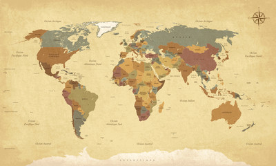 Planisphère Mappemonde Vintage - Textes en français. Vecteur CMJNfavorite_border favorite
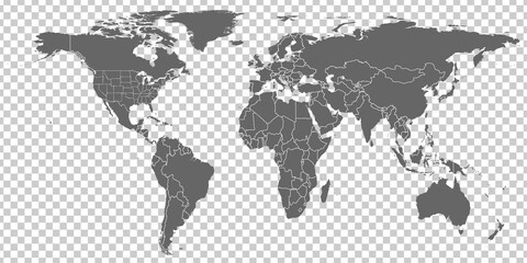 World Map vector. Gray similar world map blank vector on transparent background. Gray similar world map with borders of all countries and States of USA map. High quality world map. EPS10.favorite_border favorite
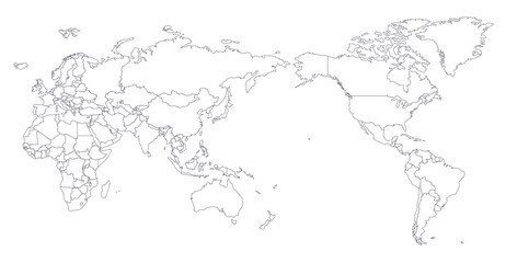 World Map Outline Contour Silhouette - Asia in Centerfavorite_border favorite
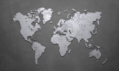 World Mapfavorite_border favorite
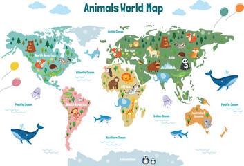 Animals world map. Beautiful cheerful colorful vector illustration for children and kids. With the inscription of the oceans and continents. Preschool, baby, continents, oceans, drawn, Earthfavorite_border favorite
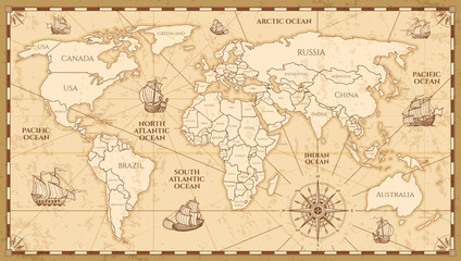 Vector antique world map with countries boundariesfavorite_border favorite
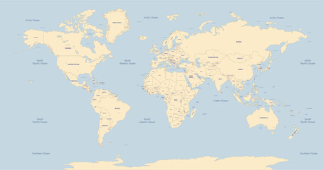 World Map vector. Detailed illustration of worldmapfavorite_border favorite
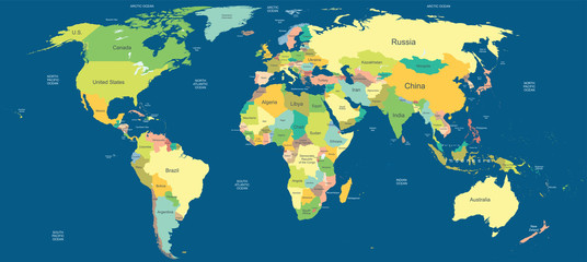 Highly detailed political world mapfavorite_border favorite
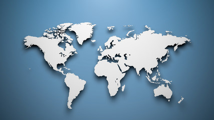 World map on blue backgroundfavorite_border favorite
 2 World map on white background . vector map black and grey map illustrationfavorite_border favorite
 モノクロのドットの世界地図(日本中心)favorite_border favorite
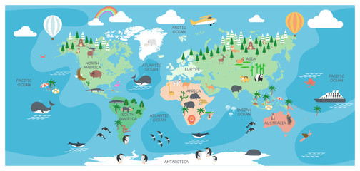 The world map with cartoon animals for kids, nature, discovery and continent name, ocean name, vector Illustration.favorite_border favorite
 Wireless communication smart city and network technology of the world.favorite_border favorite
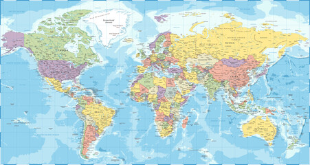 World Map - Political - Vector Detailed Illustrationfavorite_border favorite