-
World Map - Vintage Retro Old Style - Vector Detailed Illustration
Do ulubionych favorite_border
Usuń z ulubionych favorite
-
Futuristic digital dashboard displaying a world map surrounded by data analytics and infographics high-tech interface with glowing lines and numbers is perfect for representing global business
Do ulubionych favorite_border
Usuń z ulubionych favorite
-
Dotted Map Vector High Quality World Map Illustration Editable Digital Download
Do ulubionych favorite_border
Usuń z ulubionych favorite
-
Global network connection. World map point and line composition concept of global business. Vector Illustration
Do ulubionych favorite_border
Usuń z ulubionych favorite
-
Blue and white Asia and Oceania centered world map vector illustration
Do ulubionych favorite_border
Usuń z ulubionych favorite
-
3d illustration of a highly detailed world map. Elements of this image furnished by NASA.
Do ulubionych favorite_border
Usuń z ulubionych favorite
-
Mapa Świata na niebieskim tle
Do ulubionych favorite_border
Usuń z ulubionych favorite
-
white topography map geography relief diagram texture design. Topography white background and black line world map texture design. Lines Topographic contour lines grid map seamless pattern.
Do ulubionych favorite_border
Usuń z ulubionych favorite
-
Simplified schematic map of World. Blank political map of countries. Generalized and smoothed borders. Simple flat vector illustration
Do ulubionych favorite_border
Usuń z ulubionych favorite
-
Do ulubionych favorite_border
Usuń z ulubionych favorite
-
Do ulubionych favorite_border
Usuń z ulubionych favorite
-
Blue dotted map world composed by a texture of zeros and ones binary digits. Technology background.
Do ulubionych favorite_border
Usuń z ulubionych favorite
-
Set of Dotted World Map with All Continents and Largest Cities, Halftone and Circles Pixel Design, Ideal for Web, Business, and Infographics, Cloud, Network and AI Technology Vector Background
Do ulubionych favorite_border
Usuń z ulubionych favorite
-
Do ulubionych favorite_border
Usuń z ulubionych favorite
-
Blue curved World map contours on white background. Made for world news and articles.
Do ulubionych favorite_border
Usuń z ulubionych favorite
-
airplane on world map background. concept of plane travel. Empty space for text - booking a flight ticket
Do ulubionych favorite_border
Usuń z ulubionych favorite
-
Do ulubionych favorite_border
Usuń z ulubionych favorite
-
Political World Map vector illustration isolated on white background. Editable and clearly labeled layers.
Do ulubionych favorite_border
Usuń z ulubionych favorite
-
A black polygon world map, with a solid silhouette of all continents, isolated against a transparent background. A versatile graphic for global projects.
Do ulubionych favorite_border
Usuń z ulubionych favorite
-
World map. Blue modern vector map. Silhouette map
Do ulubionych favorite_border
Usuń z ulubionych favorite
-
World Map - Political - Vector Detailed Illustration
Do ulubionych favorite_border
Usuń z ulubionych favorite
-
World map isolated on white background. for website layouts, background, education, precise, customizable, Travel worldwide, map silhouette backdrop, earth geography, political, reports.
Do ulubionych favorite_border
Usuń z ulubionych favorite
-
World map. Blue modern vector map. Silhouette map
Do ulubionych favorite_border
Usuń z ulubionych favorite
-
Do ulubionych favorite_border
Usuń z ulubionych favorite
-
Black halftone dotted blue gradient world map. Vector illustration. Dotted map in flat design. Vector illustration isolated on white background
Do ulubionych favorite_border
Usuń z ulubionych favorite
-
Vintage physical world map with rivers and mountains vector illustration
Do ulubionych favorite_border
Usuń z ulubionych favorite
-
World map gray flat silhouette vector illustration
Do ulubionych favorite_border
Usuń z ulubionych favorite
-
Physical map of the world
Do ulubionych favorite_border
Usuń z ulubionych favorite
-
world map Line art Illustration with boundaries of continents isolated silhouette stylize
Do ulubionych favorite_border
Usuń z ulubionych favorite
-
medieval old world map sketch engraving vector illustration. T-shirt apparel print design. Scratch board imitation. Black and white hand drawn image.
Do ulubionych favorite_border
Usuń z ulubionych favorite
-
Solid Grey World Map Silhouette Vector for Geographic Infographics
Do ulubionych favorite_border
Usuń z ulubionych favorite
-
Do ulubionych favorite_border
Usuń z ulubionych favorite
-
Do ulubionych favorite_border
Usuń z ulubionych favorite
-
A world map displays countries and regions using distinct dot patterns, showcasing political boundaries while emphasizing geographical locations and distribution.
Do ulubionych favorite_border
Usuń z ulubionych favorite
-
Tourist Planning tour using world map.
Do ulubionych favorite_border
Usuń z ulubionych favorite
-
World map on old grunge paper background
Do ulubionych favorite_border
Usuń z ulubionych favorite
-
Vintage world map illustration
Do ulubionych favorite_border
Usuń z ulubionych favorite
-
Squire form dotted international map blends technological know how and digital layout. Ideal for infographics, education, and enterprise networks throughout the planet.
Do ulubionych favorite_border
Usuń z ulubionych favorite
-
Soft Pastel World Map Illustration with Hot Air Balloons, Gentle Travel and Adventure Design for Prints
Do ulubionych favorite_border
Usuń z ulubionych favorite
-
White World Map Minimalist Vector Illustration.eps
Do ulubionych favorite_border
Usuń z ulubionych favorite
-
World Map Vector. Detailed illustration of worldmap
Do ulubionych favorite_border
Usuń z ulubionych favorite
-
Do ulubionych favorite_border
Usuń z ulubionych favorite
-
Political World Map - borders, countries and cities
Do ulubionych favorite_border
Usuń z ulubionych favorite
-
Panama Highlighted on World Map – SVG, PNG, Transparent Background
Do ulubionych favorite_border
Usuń z ulubionych favorite
-
Einfach Weltkarte aus Punkten in hellgrau
Do ulubionych favorite_border
Usuń z ulubionych favorite
-
Blank World Map Silhouette – Editable Vector Map with Solid Black Countries. EPS
Do ulubionych favorite_border
Usuń z ulubionych favorite
-
Editable World Map with All Countries – Vector Map of the World with Separated, Distinguishable, and Labeled Countries.
Do ulubionych favorite_border
Usuń z ulubionych favorite
-
World map. Outline silhouette vector illustration
Do ulubionych favorite_border
Usuń z ulubionych favorite
-
Planet Earth. Earth Day. The Earth, World Map on white background. Vector illustration. EPS 10
Do ulubionych favorite_border
Usuń z ulubionych favorite
-
World Map - highly detailed vector illustration
Do ulubionych favorite_border
Usuń z ulubionych favorite
-
Detailed global world map, with borders and names of countries, seas and oceans, vector illustration
Do ulubionych favorite_border
Usuń z ulubionych favorite
-
Abstract vector world map made from concentric circles of dashed lines on a light gray background, focusing on Europe. It visualizes global data and interconnectedness.
Do ulubionych favorite_border
Usuń z ulubionych favorite
-
Detailed world map in blue tones with dust texture.
Do ulubionych favorite_border
Usuń z ulubionych favorite
-
Colorful political map of World. Different colour shade of each continent. Blank map without labels. Simple flat vector map.
Do ulubionych favorite_border
Usuń z ulubionych favorite
-
Blue World icon - vector. world web icon www earth globe icons. homepage icon set, earth clip art, globe symbol isolated Transparent background. World globe icon set in different style. EPS 10.
Do ulubionych favorite_border
Usuń z ulubionych favorite
-
Political World Map vector illustration with different colors for each continent and different tones for each country, and country names in spanish. Editable and clearly labeled layers.
Do ulubionych favorite_border
Usuń z ulubionych favorite
-
Mehrfarbenaquarell-Weltkarte auf weißem Hintergrund.
Do ulubionych favorite_border
Usuń z ulubionych favorite
-
World map small dotted graphic pattern. Nations borders vector material. Global geography halftone pixels.
Do ulubionych favorite_border
Usuń z ulubionych favorite
-
Do ulubionych favorite_border
Usuń z ulubionych favorite
-
Travel famous landmarks world, Europe, Asia and America. Watercolor landscape
Do ulubionych favorite_border
Usuń z ulubionych favorite
-
Colored World Map - borders, countries and cities - illustration Highly detailed colored vector illustration of world map.
Do ulubionych favorite_border
Usuń z ulubionych favorite
-
Do ulubionych favorite_border
Usuń z ulubionych favorite
-
Detailed world map with borders, countries
Do ulubionych favorite_border
Usuń z ulubionych favorite
-
World map in form ball with dots, Europe, Africa, Asia, America, Australia front view. Set icons flat globes with continents of all countries.
Do ulubionych favorite_border
Usuń z ulubionych favorite
-
Set of dotted world maps in different resolution
Do ulubionych favorite_border
Usuń z ulubionych favorite
-
Modern Infographic Elements – Fully Editable SVG for PowerPoint, Web, Illustrator, and most vector-based applications. Ideal for presentations, infographics, and business slide designs.
Do ulubionych favorite_border
Usuń z ulubionych favorite
-
Do ulubionych favorite_border
Usuń z ulubionych favorite
-
Vector illustration World map outline on white isolated background.
Do ulubionych favorite_border
Usuń z ulubionych favorite
-
CARTE DU MONDE SIMPLIFIÉE
Do ulubionych favorite_border
Usuń z ulubionych favorite
-
Simplified world vector map with square dot grid (Robinson projection, PPT-compatible & fully editable)
Do ulubionych favorite_border
Usuń z ulubionych favorite
-
Travel quote typography with airplane and world map graphic for adventure lifestyle, journey inspiration, and t shirt design
Do ulubionych favorite_border
Usuń z ulubionych favorite
-
vector illustration of gray colored world map
Do ulubionych favorite_border
Usuń z ulubionych favorite
-
Grey Flat World Map Per Country Design
Do ulubionych favorite_border
Usuń z ulubionych favorite
-
Map of World. Mercator projection. High detailed political map of countries and dependent territories. Simple flat vector illustration
Do ulubionych favorite_border
Usuń z ulubionych favorite
-
Ziemia - mapa świata dekoracyjna
Do ulubionych favorite_border
Usuń z ulubionych favorite
-
Medieval old world map illustration based on image furnished by NASA
Do ulubionych favorite_border
Usuń z ulubionych favorite
-
World Map composed of dots isolated on transparent background. World map silhouette ideal for design backgrounds and info graphic elements.3D illustration
Do ulubionych favorite_border
Usuń z ulubionych favorite
-
A dotted world map is a unique design element for commercial projects. The dot map silhouette provides a distinctive and professional global perspective.
Do ulubionych favorite_border
Usuń z ulubionych favorite
-
Realistic dotted vector world map. Dotted world map showing a stylized layout of continents with clear dot structure. Perfect for global topics, maps, and educational materials. Simple dotted map
Do ulubionych favorite_border
Usuń z ulubionych favorite
-
World Map With Country Borders. Detailed Outline Political World Map Vector Vintage Design Style.
Do ulubionych favorite_border
Usuń z ulubionych favorite
-
World Map Vintage Cartoon Detailed - vector
Do ulubionych favorite_border
Usuń z ulubionych favorite
-
Outlined vector map of the world
Do ulubionych favorite_border
Usuń z ulubionych favorite
-
Do ulubionych favorite_border
Usuń z ulubionych favorite
-
Digital world map of blue dots on white background. Futuristic technology concept for global data and communication. Backdrop for tech presentations or infographics. Vector illustration.
Do ulubionych favorite_border
Usuń z ulubionych favorite
-
Blue dotted world map on transparent background vector illustration
Do ulubionych favorite_border
Usuń z ulubionych favorite
-
one color grey world map isolated on transparent background. World vector illustration
Do ulubionych favorite_border
Usuń z ulubionych favorite
-
World Map Isolated on White Background in Gray Color. Vector Illustration
Do ulubionych favorite_border
Usuń z ulubionych favorite
-
Vector Linear World Map, editable stroke. vector illustration isolated on white background.
Do ulubionych favorite_border
Usuń z ulubionych favorite
-
Grey world map with latitude and longitude grid on The Robinson projection. Vector Map Illustration.
Do ulubionych favorite_border
Usuń z ulubionych favorite
-
Do ulubionych favorite_border
Usuń z ulubionych favorite
-
World Map with Highlighted Country Borders Vector Illustration
Do ulubionych favorite_border
Usuń z ulubionych favorite
-
Do ulubionych favorite_border
Usuń z ulubionych favorite
-
professional world map vector ai eps jpeg png set for cartography, navigation, geographic illustration and charts
Do ulubionych favorite_border
Usuń z ulubionych favorite
-
World map divided into six continents. Each continent in different color. Simple flat vector illustration
Do ulubionych favorite_border
Usuń z ulubionych favorite
-
Do ulubionych favorite_border
Usuń z ulubionych favorite
-
World Map Silhouette Illustration
Do ulubionych favorite_border
Usuń z ulubionych favorite
-
Holographic World Map With Locations Over Blue Background, Panorama, Collage
Do ulubionych favorite_border
Usuń z ulubionych favorite
-
Creative vertical line shape dotted map showing world continents like Africa, Asia, and Europe. A clean infographic style earth layout. Designed for global data visualization.
Do ulubionych favorite_border
Usuń z ulubionych favorite
-
Engineer, people and hands with world map on screen for turbine location, power development and data analysis. Interactive display, teamwork and employee pointing to chart area for site selection
Do ulubionych favorite_border
Usuń z ulubionych favorite
-
Do ulubionych favorite_border
Usuń z ulubionych favorite
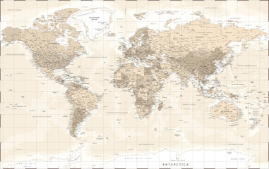 World Map - Vintage Retro Old Style - Vector Detailed Illustrationfavorite_border favorite
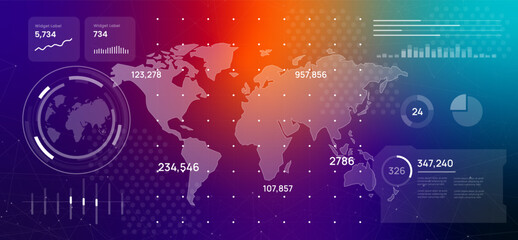 Futuristic digital dashboard displaying a world map surrounded by data analytics and infographics high-tech interface with glowing lines and numbers is perfect for representing global businessfavorite_border favorite
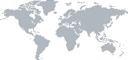 Dotted Map Vector High Quality World Map Illustration Editable Digital Downloadfavorite_border favorite
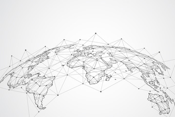 Global network connection. World map point and line composition concept of global business. Vector Illustrationfavorite_border favorite
 Blue and white Asia and Oceania centered world map vector illustrationfavorite_border favorite
 3d illustration of a highly detailed world map. Elements of this image furnished by NASA.favorite_border favorite
 Mapa Świata na niebieskim tlefavorite_border favorite
 white topography map geography relief diagram texture design. Topography white background and black line world map texture design. Lines Topographic contour lines grid map seamless pattern.favorite_border favorite
 Simplified schematic map of World. Blank political map of countries. Generalized and smoothed borders. Simple flat vector illustrationfavorite_border favorite
 Orange World mapfavorite_border favorite
 アジアを中心とした水彩風の世界地図、青favorite_border favorite
 Blue dotted map world composed by a texture of zeros and ones binary digits. Technology background.favorite_border favorite
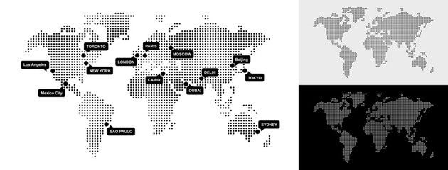 Set of Dotted World Map with All Continents and Largest Cities, Halftone and Circles Pixel Design, Ideal for Web, Business, and Infographics, Cloud, Network and AI Technology Vector Backgroundfavorite_border favorite
 デジタルブロック調の世界地図favorite_border favorite
 Blue curved World map contours on white background. Made for world news and articles.favorite_border favorite
 airplane on world map background. concept of plane travel. Empty space for text - booking a flight ticketfavorite_border favorite
 水彩で描かれた手書きの世界地図favorite_border favorite
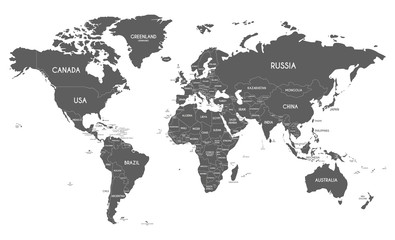 Political World Map vector illustration isolated on white background. Editable and clearly labeled layers.favorite_border favorite
 A black polygon world map, with a solid silhouette of all continents, isolated against a transparent background. A versatile graphic for global projects.favorite_border favorite
 World map. Blue modern vector map. Silhouette mapfavorite_border favorite
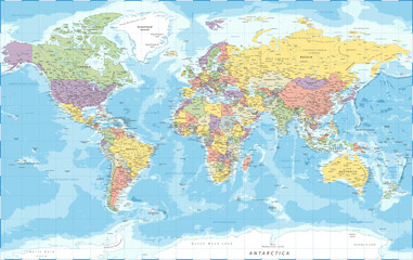 World Map - Political - Vector Detailed Illustrationfavorite_border favorite
 World map isolated on white background. for website layouts, background, education, precise, customizable, Travel worldwide, map silhouette backdrop, earth geography, political, reports.favorite_border favorite
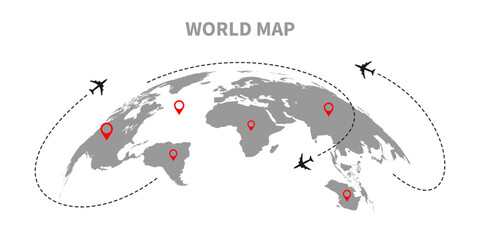 World map. Blue modern vector map. Silhouette mapfavorite_border favorite
 World continent mapfavorite_border favorite
 Black halftone dotted blue gradient world map. Vector illustration. Dotted map in flat design. Vector illustration isolated on white backgroundfavorite_border favorite
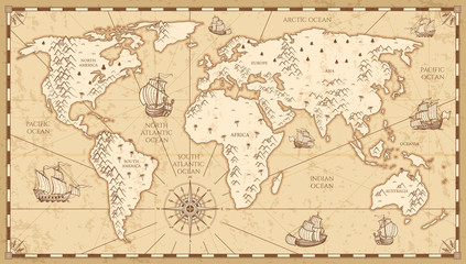 Vintage physical world map with rivers and mountains vector illustrationfavorite_border favorite
 World map gray flat silhouette vector illustrationfavorite_border favorite
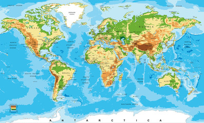 Physical map of the worldfavorite_border favorite
 world map Line art Illustration with boundaries of continents isolated silhouette stylizefavorite_border favorite
 medieval old world map sketch engraving vector illustration. T-shirt apparel print design. Scratch board imitation. Black and white hand drawn image.favorite_border favorite
 Solid Grey World Map Silhouette Vector for Geographic Infographicsfavorite_border favorite
 世界地図(日本中心)モノクロfavorite_border favorite
 Weltkarte in Graufavorite_border favorite
 A world map displays countries and regions using distinct dot patterns, showcasing political boundaries while emphasizing geographical locations and distribution.favorite_border favorite
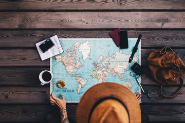 Tourist Planning tour using world map.favorite_border favorite
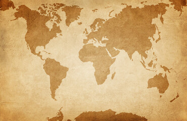 World map on old grunge paper backgroundfavorite_border favorite
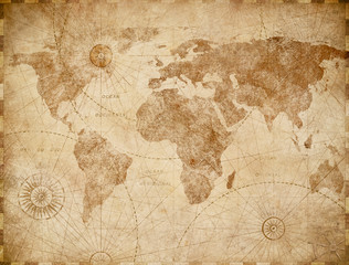 Vintage world map illustrationfavorite_border favorite
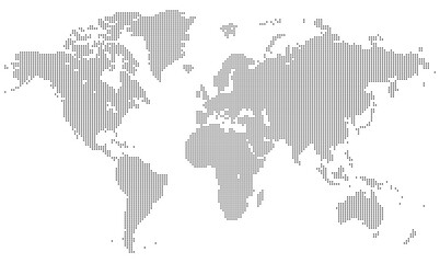 Squire form dotted international map blends technological know how and digital layout. Ideal for infographics, education, and enterprise networks throughout the planet.favorite_border favorite
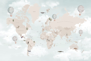 Soft Pastel World Map Illustration with Hot Air Balloons, Gentle Travel and Adventure Design for Printsfavorite_border favorite
 White World Map Minimalist Vector Illustration.epsfavorite_border favorite
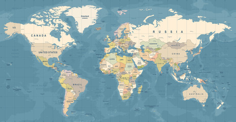 World Map Vector. Detailed illustration of worldmapfavorite_border favorite
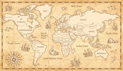 Old Vintage World Mapfavorite_border favorite
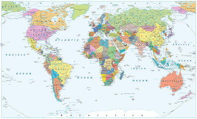 Political World Map - borders, countries and citiesfavorite_border favorite
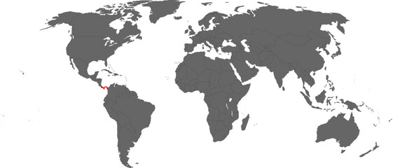 Panama Highlighted on World Map – SVG, PNG, Transparent Backgroundfavorite_border favorite
 Einfach Weltkarte aus Punkten in hellgraufavorite_border favorite
 Blank World Map Silhouette – Editable Vector Map with Solid Black Countries. EPSfavorite_border favorite
 Editable World Map with All Countries – Vector Map of the World with Separated, Distinguishable, and Labeled Countries.favorite_border favorite
 World map. Outline silhouette vector illustrationfavorite_border favorite
 Planet Earth. Earth Day. The Earth, World Map on white background. Vector illustration. EPS 10favorite_border favorite
 World Map - highly detailed vector illustrationfavorite_border favorite
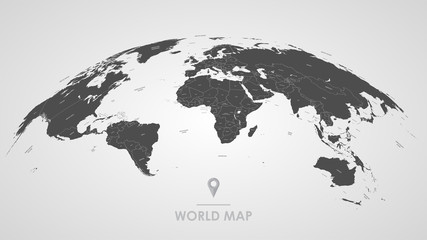 Detailed global world map, with borders and names of countries, seas and oceans, vector illustrationfavorite_border favorite
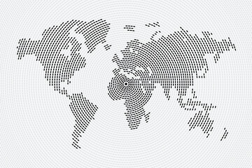 Abstract vector world map made from concentric circles of dashed lines on a light gray background, focusing on Europe. It visualizes global data and interconnectedness.favorite_border favorite
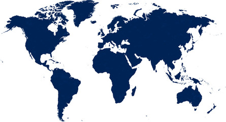 Detailed world map in blue tones with dust texture.favorite_border favorite
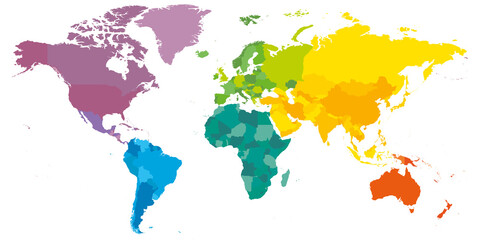 Colorful political map of World. Different colour shade of each continent. Blank map without labels. Simple flat vector map.favorite_border favorite
 Blue World icon - vector. world web icon www earth globe icons. homepage icon set, earth clip art, globe symbol isolated Transparent background. World globe icon set in different style. EPS 10.favorite_border favorite
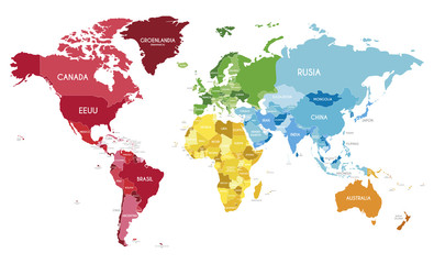 Political World Map vector illustration with different colors for each continent and different tones for each country, and country names in spanish. Editable and clearly labeled layers.favorite_border favorite
 Mehrfarbenaquarell-Weltkarte auf weißem Hintergrund.favorite_border favorite
 World map small dotted graphic pattern. Nations borders vector material. Global geography halftone pixels.favorite_border favorite
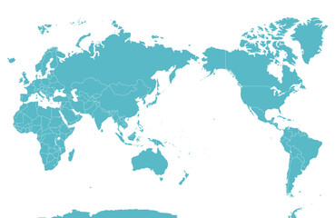 国境線のある六大陸の世界地図、大平洋、地球favorite_border favorite
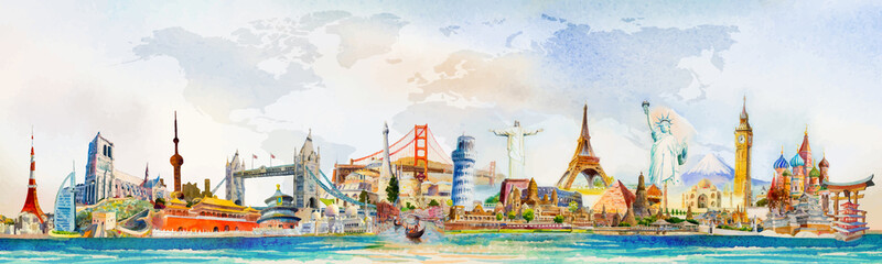 Travel famous landmarks world, Europe, Asia and America. Watercolor landscapefavorite_border favorite
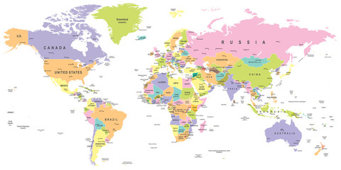 Colored World Map - borders, countries and cities - illustration Highly detailed colored vector illustration of world map.favorite_border favorite
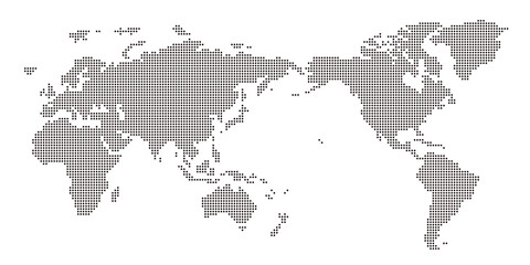 丸いドットでできた世界地図 太平洋中心 黒favorite_border favorite
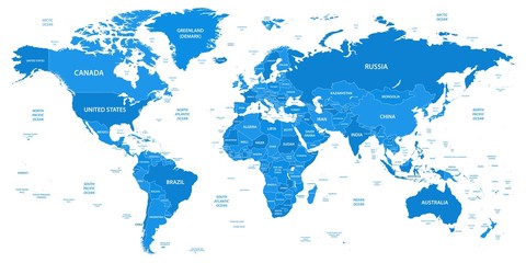 Detailed world map with borders, countriesfavorite_border favorite
 World map in form ball with dots, Europe, Africa, Asia, America, Australia front view. Set icons flat globes with continents of all countries.favorite_border favorite
 Set of dotted world maps in different resolutionfavorite_border favorite
 Modern Infographic Elements – Fully Editable SVG for PowerPoint, Web, Illustrator, and most vector-based applications. Ideal for presentations, infographics, and business slide designs.favorite_border favorite
 世界地図(簡略化されたアウトラインの世界地図)favorite_border favorite
 Vector illustration World map outline on white isolated background.favorite_border favorite
 CARTE DU MONDE SIMPLIFIÉEfavorite_border favorite
 Simplified world vector map with square dot grid (Robinson projection, PPT-compatible & fully editable)favorite_border favorite
 Travel quote typography with airplane and world map graphic for adventure lifestyle, journey inspiration, and t shirt designfavorite_border favorite
 vector illustration of gray colored world mapfavorite_border favorite
 Grey Flat World Map Per Country Designfavorite_border favorite
 Map of World. Mercator projection. High detailed political map of countries and dependent territories. Simple flat vector illustrationfavorite_border favorite
 Ziemia - mapa świata dekoracyjnafavorite_border favorite
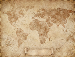 Medieval old world map illustration based on image furnished by NASAfavorite_border favorite
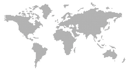 World Map composed of dots isolated on transparent background. World map silhouette ideal for design backgrounds and info graphic elements.3D illustrationfavorite_border favorite
 A dotted world map is a unique design element for commercial projects. The dot map silhouette provides a distinctive and professional global perspective.favorite_border favorite
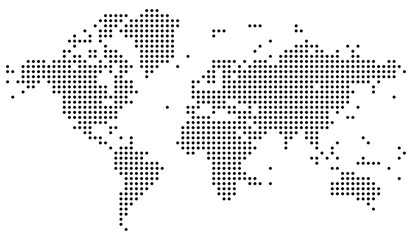 Realistic dotted vector world map. Dotted world map showing a stylized layout of continents with clear dot structure. Perfect for global topics, maps, and educational materials. Simple dotted mapfavorite_border favorite
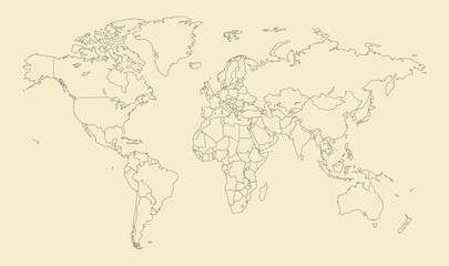 World Map With Country Borders. Detailed Outline Political World Map Vector Vintage Design Style.favorite_border favorite
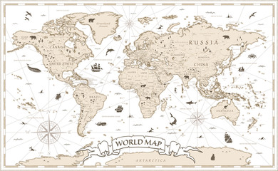 World Map Vintage Cartoon Detailed - vectorfavorite_border favorite
 Outlined vector map of the worldfavorite_border favorite
 世界地図とネットワークビジネスイメージfavorite_border favorite
 Digital world map of blue dots on white background. Futuristic technology concept for global data and communication. Backdrop for tech presentations or infographics. Vector illustration.favorite_border favorite
 Blue dotted world map on transparent background vector illustrationfavorite_border favorite
 one color grey world map isolated on transparent background. World vector illustrationfavorite_border favorite
 World Map Isolated on White Background in Gray Color. Vector Illustrationfavorite_border favorite
 Vector Linear World Map, editable stroke. vector illustration isolated on white background.favorite_border favorite
 Grey world map with latitude and longitude grid on The Robinson projection. Vector Map Illustration.favorite_border favorite
 パースのある世界地図 ドット ベクター素材favorite_border favorite
 World Map with Highlighted Country Borders Vector Illustrationfavorite_border favorite
 world map silhouettefavorite_border favorite
 professional world map vector ai eps jpeg png set for cartography, navigation, geographic illustration and chartsfavorite_border favorite
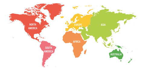 World map divided into six continents. Each continent in different color. Simple flat vector illustrationfavorite_border favorite
 世界地図・ドット素材・丸ドットfavorite_border favorite
 World Map Silhouette Illustrationfavorite_border favorite
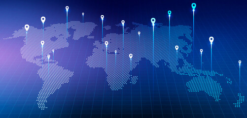 Holographic World Map With Locations Over Blue Background, Panorama, Collagefavorite_border favorite
 Creative vertical line shape dotted map showing world continents like Africa, Asia, and Europe. A clean infographic style earth layout. Designed for global data visualization.favorite_border favorite
 Engineer, people and hands with world map on screen for turbine location, power development and data analysis. Interactive display, teamwork and employee pointing to chart area for site selectionfavorite_border favorite
 青のドットの世界地図favorite_border favorite