-
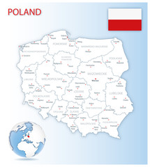
Detailed Poland administrative map with country flag and location on a blue globe. Vector illustration
Do ulubionych favorite_border
Usuń z ulubionych favorite
-
South America countries political map with national borders. Continent surrounded by Pacific and Atlantic Ocean. English labeling. Illustration.
Do ulubionych favorite_border
Usuń z ulubionych favorite
-
Do ulubionych favorite_border
Usuń z ulubionych favorite
-
Fantasy medieval cartography map elements, vector, drawing symbols, illustration
Do ulubionych favorite_border
Usuń z ulubionych favorite
-
Topographic map patterns, topography line map. Vintage outdoors style
Do ulubionych favorite_border
Usuń z ulubionych favorite
-
Vector detailed map of the city of Paris with its famous attractions and names.
Do ulubionych favorite_border
Usuń z ulubionych favorite
-
Realistic topographic map with brown contour lines, elevation marks, and natural green terrain features with river. Ideal for geographic, educational, or design projects. 16:9
Do ulubionych favorite_border
Usuń z ulubionych favorite
-
Belarus political map of administrative divisions
Do ulubionych favorite_border
Usuń z ulubionych favorite
-
Road map and journey route infographics template. Winding road timeline illustration. Flat vector illustration. Eps 10
Do ulubionych favorite_border
Usuń z ulubionych favorite
-
Ilustração 3D do mapa do Brasil e suas regiões em um fundo azul.
Do ulubionych favorite_border
Usuń z ulubionych favorite
-
Highly detailed vector map of London.It's includes streets, parks, names of subdistricts, points of interests.
Do ulubionych favorite_border
Usuń z ulubionych favorite
-
Urban vector city map of Lisbon, Portugal
Do ulubionych favorite_border
Usuń z ulubionych favorite
-
Luxury gold abstract line art background vector. Mountain topographic terrain map background with gold lines texture. Design illustration for wall art, fabric, packaging, web, banner, app, wallpaper.
Do ulubionych favorite_border
Usuń z ulubionych favorite
-
Vintage marine wind rose, nautical chart. Monochrome navigational compass with cardinal directions of North, East, South, West. Geographical position, cartography and navigation. Vector illustration.
Do ulubionych favorite_border
Usuń z ulubionych favorite
-
Map of Asia Pacific. - Vector illustration
Do ulubionych favorite_border
Usuń z ulubionych favorite
-
United kingdom map vector illustration
Do ulubionych favorite_border
Usuń z ulubionych favorite
-
Continents of the World, Map
Do ulubionych favorite_border
Usuń z ulubionych favorite
-
set of political maps of Netherlands with regions and flag map isolated on white background
Do ulubionych favorite_border
Usuń z ulubionych favorite
-
Hand drawn infographic for mind map visualization template with light bulb as a main symbol, colorful circles and icons. Easy to use for your design or presentation.
Do ulubionych favorite_border
Usuń z ulubionych favorite
-
マップピン、地図マーカーのシンプルアイコンセット
Do ulubionych favorite_border
Usuń z ulubionych favorite
-
Do ulubionych favorite_border
Usuń z ulubionych favorite
-
Do ulubionych favorite_border
Usuń z ulubionych favorite
-
Modern world map with shadow and capital name. vector.
Do ulubionych favorite_border
Usuń z ulubionych favorite
-
Set of elements top view for landscape design. Buildings and trees for map of City. Collection, kit of Objects. House, factory, skyscraper, hotel, manufacturing. Isolated Vector element from above
Do ulubionych favorite_border
Usuń z ulubionych favorite
-
Abstract of spain map network, internet and global connection concept, Wire Frame 3D mesh polygonal network line, design sphere, dot and structure. Vector illustration eps 10.
Do ulubionych favorite_border
Usuń z ulubionych favorite
-
Earth globe. World map set. Planet with continents. Vector Illustration
Do ulubionych favorite_border
Usuń z ulubionych favorite
-
USA Map. Poster map of United States of America. Infographic design, USA with states, poster or geographic, political theme. Print map of USA states, silhouettes outline. Vector Illustration
Do ulubionych favorite_border
Usuń z ulubionych favorite
-
Simple (only sharp corners) map of Ireland (whole island, including northern British part) vector drawing. Mercator projection. Filled and outline version.
Do ulubionych favorite_border
Usuń z ulubionych favorite
-
Do ulubionych favorite_border
Usuń z ulubionych favorite
-
Contour map of Poland with rivers and lakes
Do ulubionych favorite_border
Usuń z ulubionych favorite
-
High resolution flat world map in summer
Do ulubionych favorite_border
Usuń z ulubionych favorite
-
Urban vector city map of Wolverhampton, England
Do ulubionych favorite_border
Usuń z ulubionych favorite
-
Set of landscape elements. Green city and farm. (View from above) Trees, houses, buildings, road, solar panels, wind turbines, agricultural fields. (Top view)
Do ulubionych favorite_border
Usuń z ulubionych favorite
-
Vector black map of New york
Do ulubionych favorite_border
Usuń z ulubionych favorite
-
old nautical treasure map background
Do ulubionych favorite_border
Usuń z ulubionych favorite
-
Do ulubionych favorite_border
Usuń z ulubionych favorite
-
Aerial view city map Berlin, monochrome detailed plan, urban grid in perspective
Do ulubionych favorite_border
Usuń z ulubionych favorite
-
All 206 Complete Countries Map of the World Pixel Perfect Icons (Filled Style). Every single country map are listed and isolated with wordings and titles. A complete maps of the world outline.
Do ulubionych favorite_border
Usuń z ulubionych favorite
-
Topography background. Vector banner. Topography map background. Vector geographic contour map. Background of the topographic map. Topographic map lines, contour background.
Do ulubionych favorite_border
Usuń z ulubionych favorite
-
Do ulubionych favorite_border
Usuń z ulubionych favorite
-
set of 3 maps of Philippines - vector illustrations
Do ulubionych favorite_border
Usuń z ulubionych favorite
-
Area map of Warsaw, Poland
Do ulubionych favorite_border
Usuń z ulubionych favorite
-
USA map with states isolated on a white background. Vector illustration of the map of the United States of America, AI-Generated Vector
Do ulubionych favorite_border
Usuń z ulubionych favorite
-
Detailed vector blue map of Germany with administrative divisions into lands and regions of the country
Do ulubionych favorite_border
Usuń z ulubionych favorite
-
Do ulubionych favorite_border
Usuń z ulubionych favorite
-
High detailed vector map - sudan
Do ulubionych favorite_border
Usuń z ulubionych favorite
-
Digital web white map of Curtiba
Do ulubionych favorite_border
Usuń z ulubionych favorite
-
Set of Italy maps. Poster map of Italy with regions names. Blank Italy map. Map of Italy. Vector illustration
Do ulubionych favorite_border
Usuń z ulubionych favorite
-
vector map of the city of Dallas, Texas, USA
Do ulubionych favorite_border
Usuń z ulubionych favorite
-
Vintage map of India and Southeast Asia, printed in 1750.
Do ulubionych favorite_border
Usuń z ulubionych favorite
-
Detailed gray world map on white. Vector illustration.
Do ulubionych favorite_border
Usuń z ulubionych favorite
-
Vector city map of Austin, Texas.
Do ulubionych favorite_border
Usuń z ulubionych favorite
-
City map navigational template
Do ulubionych favorite_border
Usuń z ulubionych favorite
-
Germany silhouette map and two patterns of dots and slanted lines. Flat vector illustration isolated on white
Do ulubionych favorite_border
Usuń z ulubionych favorite
-
Map Latin America. Poster map of Latin America. Black and white print map of Latin America for t-shirt, poster or geographic themes. Hand-drawn graphic map with countries. Vector Illustration
Do ulubionych favorite_border
Usuń z ulubionych favorite
-
Do ulubionych favorite_border
Usuń z ulubionych favorite
-
Do ulubionych favorite_border
Usuń z ulubionych favorite
-
Australia map grey colored on a white background
Do ulubionych favorite_border
Usuń z ulubionych favorite
-
Asia-Pacific region, multi colored political map of the Indo-Pacific. Countries and territories of a major geopolitical and economic region of the world, adjoining the western Pacific Ocean. Vector
Do ulubionych favorite_border
Usuń z ulubionych favorite
-
Detailed vector map of the Republic of Ukraine in solid black fill and outline versions
Do ulubionych favorite_border
Usuń z ulubionych favorite
-
Topographic map background geographic line map with elevation assignments. Modern design with White background with topographic wavy pattern design.Cartography or terrain path concept
Do ulubionych favorite_border
Usuń z ulubionych favorite
-
Businessman holding a 3d rendering pin holder on a map
Do ulubionych favorite_border
Usuń z ulubionych favorite
-
USA map with states isolated on a white background. Vector illustration of the map of the United States of America, AI-Generated Vector
Do ulubionych favorite_border
Usuń z ulubionych favorite
-
Copenhagen map. Copenhagen city map poster. Map of Copenhagen street, urban area.
Do ulubionych favorite_border
Usuń z ulubionych favorite
-
blue world map connection
Do ulubionych favorite_border
Usuń z ulubionych favorite
-
Black outline map of World. Simple vector illustration.
Do ulubionych favorite_border
Usuń z ulubionych favorite
-
Airplane flight line paths going across blue world map - plane travel scheme
Do ulubionych favorite_border
Usuń z ulubionych favorite
-
dynamic digital world map emphasize Western Europe continental for AI powered global network connectivity big data transfer cyber technology network information exchange telecommunication concept.
Do ulubionych favorite_border
Usuń z ulubionych favorite
-
Three-dimensional map of Spain. 3d
Do ulubionych favorite_border
Usuń z ulubionych favorite
-
Fantasy map icons collection, vintage sketch style
Do ulubionych favorite_border
Usuń z ulubionych favorite
-
set of political maps of Sweden with regions and flag map isolated on white background
Do ulubionych favorite_border
Usuń z ulubionych favorite
-
World map dotted style, vector illustration isolated on white background.
Do ulubionych favorite_border
Usuń z ulubionych favorite
-
Night planet earth from space with light lines of communication and connection. Business and finance, concept. Global communications system and the World Wide Web. Technologies and communications.
Do ulubionych favorite_border
Usuń z ulubionych favorite
-
Political Europe Map vector illustration isolated on white background. Editable and clearly labeled layers.
Do ulubionych favorite_border
Usuń z ulubionych favorite
-
South Korea vector map infographic template. Slide presentation. Global business marketing concept. Asia country. World transportation geography data.
Do ulubionych favorite_border
Usuń z ulubionych favorite
-
City street map plan with river GPS place pins and navigation route between point markers. Vector blue color perspective view isometric illustration location schema
Do ulubionych favorite_border
Usuń z ulubionych favorite
-
Fantasy map elements illustration, drawing, engraving, ink, line art, vector
Do ulubionych favorite_border
Usuń z ulubionych favorite
-
Do ulubionych favorite_border
Usuń z ulubionych favorite
-
White wave paper curved reliefs abstract background, Abstract topographic contours map background, Vector contour topographic map background. Topography and geography map grid abstract backdrop.
Do ulubionych favorite_border
Usuń z ulubionych favorite
-
Vector Map - Blue Geometric Rumpled Triangular. Low poly map of Afghanistan. contour/shape map isolated on white background.
Do ulubionych favorite_border
Usuń z ulubionych favorite
-
Europe political map High detail color vector atlas with capitals, cities, towns names, seas, rivers and lakes High resolution map of Europe in Mercator projection
Do ulubionych favorite_border
Usuń z ulubionych favorite
-
Czech republic vector map.
Do ulubionych favorite_border
Usuń z ulubionych favorite
-
Urban vector city map of Munich, Germany
Do ulubionych favorite_border
Usuń z ulubionych favorite
-
France map silhouettes in gray, outline, flat green, and watercolor texture styles.
Do ulubionych favorite_border
Usuń z ulubionych favorite
-
Africa, single countries, gray political map. Largest continent, including Madagascar. With English country names and international borders. Isolated illustration on white background. Vector.
Do ulubionych favorite_border
Usuń z ulubionych favorite
-
Algeria political map of administrative divisions
Do ulubionych favorite_border
Usuń z ulubionych favorite
-
World Map – Global Countries Outline Vector
Do ulubionych favorite_border
Usuń z ulubionych favorite
-
Australia map vector set with editable country outline black silhouette and national flag design featuring blue background Union Jack and white stars isolated on white for geography and education use
Do ulubionych favorite_border
Usuń z ulubionych favorite
-
Old map isolated on white background, compass, vector illustration
Do ulubionych favorite_border
Usuń z ulubionych favorite
-
Game Map, Game Board, Top View. Medieval Style. Video Game's Digital CG Artwork, Colorful Concept Illustration, Realistic Cartoon Style Background
Do ulubionych favorite_border
Usuń z ulubionych favorite
-
political map of New Zealand isolated on white background
Do ulubionych favorite_border
Usuń z ulubionych favorite
-
Modern location UI widget set with map pins and text call-outs. Includes location lower thirds, titles, and coordinates layouts. Ideal for maps or location-based video overlays.
Do ulubionych favorite_border
Usuń z ulubionych favorite
-
Vintage nautical map with compass and ship design
Do ulubionych favorite_border
Usuń z ulubionych favorite
-
High Quality map of Warsaw is a capital Poland, with borders of the districts. Map of Warsaw for your web site design, app, UI. EPS10.
Do ulubionych favorite_border
Usuń z ulubionych favorite
-
Vector map of South Korea. High detailed country map with division, cities and capital Seoul. Political map, world map, infographic elements.
Do ulubionych favorite_border
Usuń z ulubionych favorite
-
High resolution map of the world (without Antarctica) split into individual countries. Showing distinct borders between countries. Robinson projection.
Do ulubionych favorite_border
Usuń z ulubionych favorite
-
Abstract mash line and point scales on dark background with map of wolrd.3D mesh polygonal network line, design sphere, dot and structure. Vector illustration eps 10.
Do ulubionych favorite_border
Usuń z ulubionych favorite
-
Spain, topographic relief - light glow
Do ulubionych favorite_border
Usuń z ulubionych favorite
-
Vector illustrated set of various vintage map elements
Do ulubionych favorite_border
Usuń z ulubionych favorite
-
Do ulubionych favorite_border
Usuń z ulubionych favorite
 Detailed Poland administrative map with country flag and location on a blue globe. Vector illustrationfavorite_border favorite
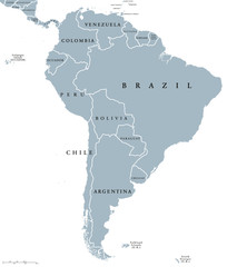 South America countries political map with national borders. Continent surrounded by Pacific and Atlantic Ocean. English labeling. Illustration.favorite_border favorite
 old world map backgroundfavorite_border favorite
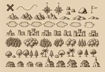 Fantasy medieval cartography map elements, vector, drawing symbols, illustrationfavorite_border favorite
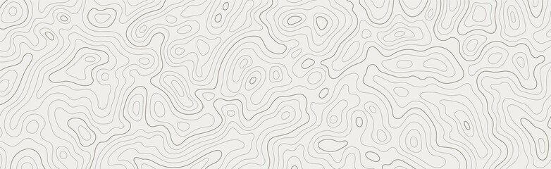 Topographic map patterns, topography line map. Vintage outdoors stylefavorite_border favorite
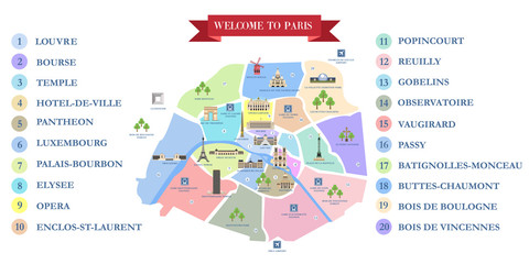 Vector detailed map of the city of Paris with its famous attractions and names.favorite_border favorite
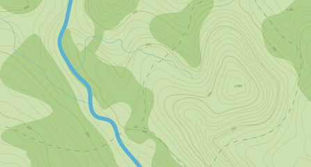 Realistic topographic map with brown contour lines, elevation marks, and natural green terrain features with river. Ideal for geographic, educational, or design projects. 16:9favorite_border favorite
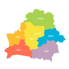 Belarus political map of administrative divisionsfavorite_border favorite
 Road map and journey route infographics template. Winding road timeline illustration. Flat vector illustration. Eps 10favorite_border favorite
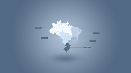 Ilustração 3D do mapa do Brasil e suas regiões em um fundo azul.favorite_border favorite
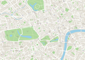 Highly detailed vector map of London.It's includes streets, parks, names of subdistricts, points of interests.favorite_border favorite
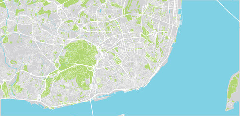 Urban vector city map of Lisbon, Portugalfavorite_border favorite
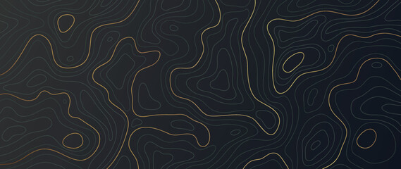 Luxury gold abstract line art background vector. Mountain topographic terrain map background with gold lines texture. Design illustration for wall art, fabric, packaging, web, banner, app, wallpaper.favorite_border favorite
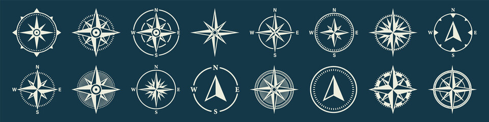 Vintage marine wind rose, nautical chart. Monochrome navigational compass with cardinal directions of North, East, South, West. Geographical position, cartography and navigation. Vector illustration.favorite_border favorite
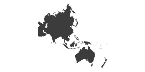 Map of Asia Pacific. - Vector illustrationfavorite_border favorite
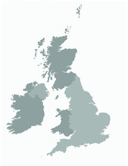 United kingdom map vector illustrationfavorite_border favorite
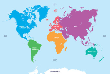 Continents of the World, Mapfavorite_border favorite
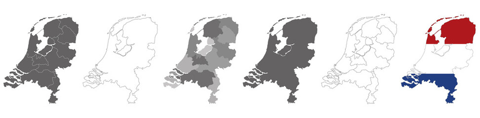 set of political maps of Netherlands with regions and flag map isolated on white backgroundfavorite_border favorite
 Hand drawn infographic for mind map visualization template with light bulb as a main symbol, colorful circles and icons. Easy to use for your design or presentation.favorite_border favorite
 マップピン、地図マーカーのシンプルアイコンセットfavorite_border favorite
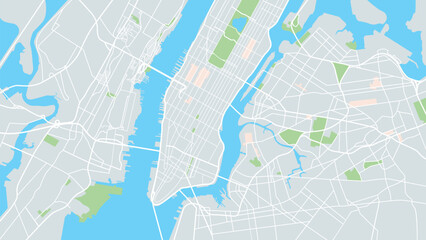 New York city mapfavorite_border favorite
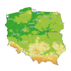 Poland physical mapfavorite_border favorite
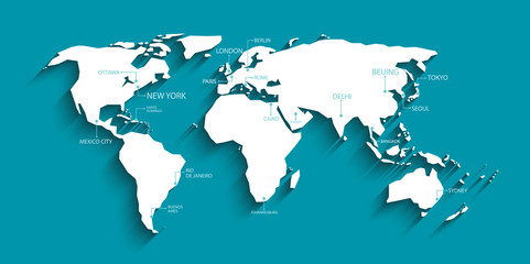 Modern world map with shadow and capital name. vector.favorite_border favorite
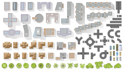 Set of elements top view for landscape design. Buildings and trees for map of City. Collection, kit of Objects. House, factory, skyscraper, hotel, manufacturing. Isolated Vector element from abovefavorite_border favorite
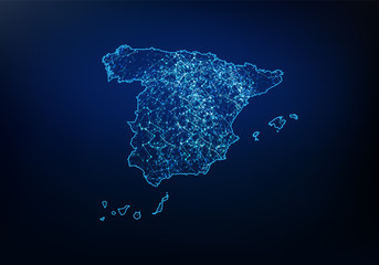 Abstract of spain map network, internet and global connection concept, Wire Frame 3D mesh polygonal network line, design sphere, dot and structure. Vector illustration eps 10.favorite_border favorite
 Earth globe. World map set. Planet with continents. Vector Illustrationfavorite_border favorite
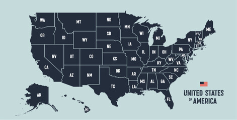 USA Map. Poster map of United States of America. Infographic design, USA with states, poster or geographic, political theme. Print map of USA states, silhouettes outline. Vector Illustrationfavorite_border favorite
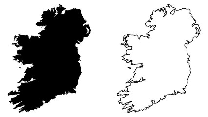 Simple (only sharp corners) map of Ireland (whole island, including northern British part) vector drawing. Mercator projection. Filled and outline version.favorite_border favorite
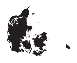 black map of Denmarkfavorite_border favorite
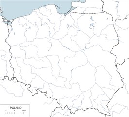 Contour map of Poland with rivers and lakesfavorite_border favorite
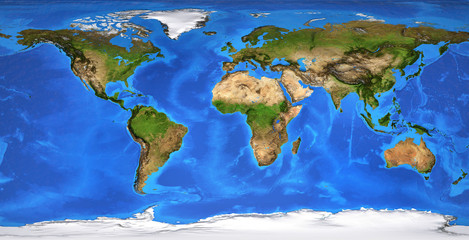 High resolution flat world map in summerfavorite_border favorite
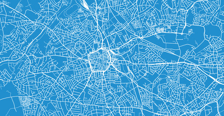 Urban vector city map of Wolverhampton, Englandfavorite_border favorite
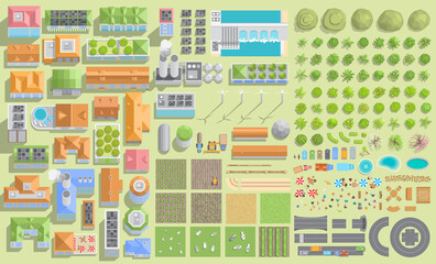 Set of landscape elements. Green city and farm. (View from above) Trees, houses, buildings, road, solar panels, wind turbines, agricultural fields. (Top view)favorite_border favorite
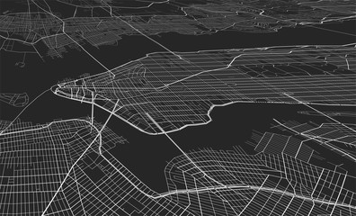 Vector black map of New yorkfavorite_border favorite
 old nautical treasure map backgroundfavorite_border favorite
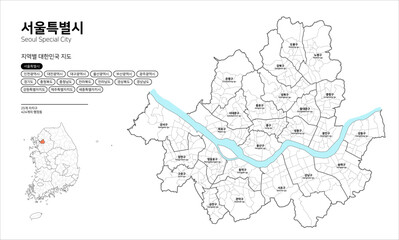 대한민국 지도-서울특별시favorite_border favorite
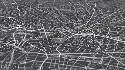 Aerial view city map Berlin, monochrome detailed plan, urban grid in perspectivefavorite_border favorite
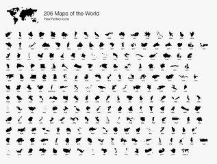 All 206 Complete Countries Map of the World Pixel Perfect Icons (Filled Style). Every single country map are listed and isolated with wordings and titles. A complete maps of the world outline.favorite_border favorite
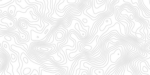 Topography background. Vector banner. Topography map background. Vector geographic contour map. Background of the topographic map. Topographic map lines, contour background.favorite_border favorite
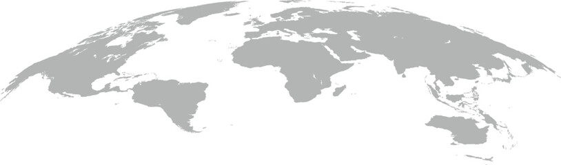 world mapfavorite_border favorite
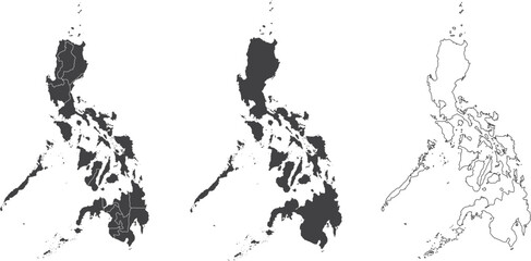 set of 3 maps of Philippines - vector illustrationsfavorite_border favorite
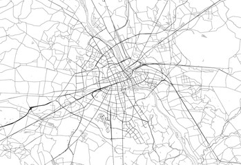 Area map of Warsaw, Polandfavorite_border favorite
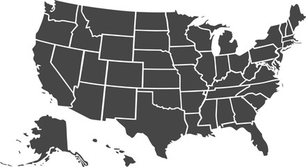 USA map with states isolated on a white background. Vector illustration of the map of the United States of America, AI-Generated Vectorfavorite_border favorite
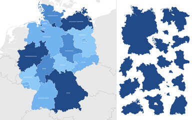 Detailed vector blue map of Germany with administrative divisions into lands and regions of the countryfavorite_border favorite
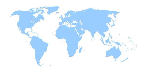 World mapfavorite_border favorite
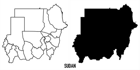 High detailed vector map - sudanfavorite_border favorite
 Digital web white map of Curtibafavorite_border favorite
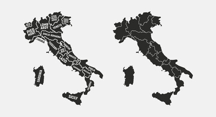 Set of Italy maps. Poster map of Italy with regions names. Blank Italy map. Map of Italy. Vector illustrationfavorite_border favorite
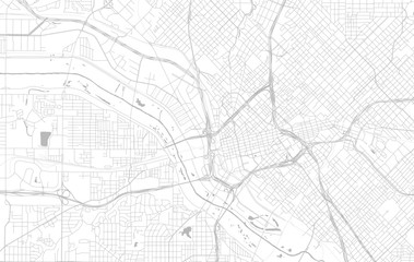 vector map of the city of Dallas, Texas, USAfavorite_border favorite
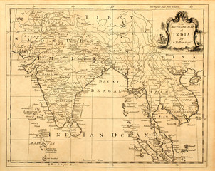 Vintage map of India and Southeast Asia, printed in 1750.favorite_border favorite
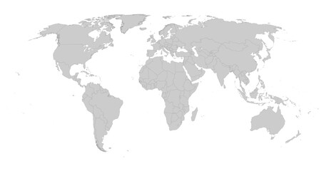 Detailed gray world map on white. Vector illustration.favorite_border favorite
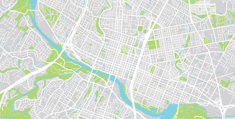 Vector city map of Austin, Texas.favorite_border favorite
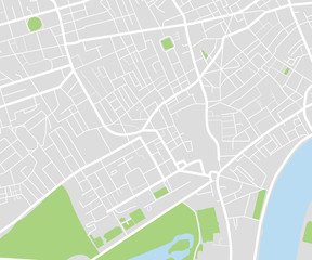 City map navigational templatefavorite_border favorite
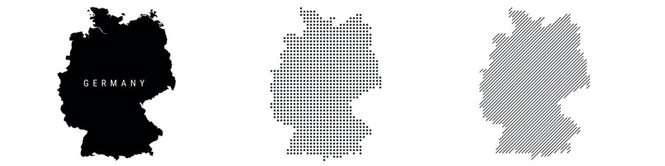 Germany silhouette map and two patterns of dots and slanted lines. Flat vector illustration isolated on whitefavorite_border favorite
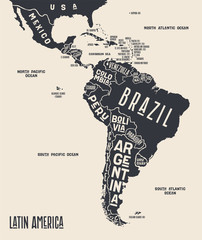 Map Latin America. Poster map of Latin America. Black and white print map of Latin America for t-shirt, poster or geographic themes. Hand-drawn graphic map with countries. Vector Illustrationfavorite_border favorite
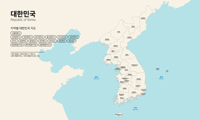 대한민국 지도-남북한 전국 지도favorite_border favorite
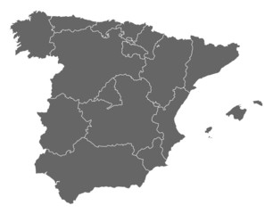 Map of Spainfavorite_border favorite
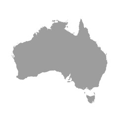 Australia map grey colored on a white backgroundfavorite_border favorite
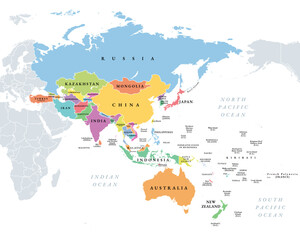 Asia-Pacific region, multi colored political map of the Indo-Pacific. Countries and territories of a major geopolitical and economic region of the world, adjoining the western Pacific Ocean. Vectorfavorite_border favorite
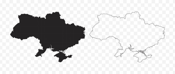 Detailed vector map of the Republic of Ukraine in solid black fill and outline versionsfavorite_border favorite
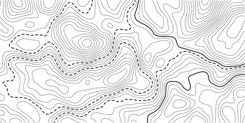 Topographic map background geographic line map with elevation assignments. Modern design with White background with topographic wavy pattern design.Cartography or terrain path conceptfavorite_border favorite
 Businessman holding a 3d rendering pin holder on a mapfavorite_border favorite
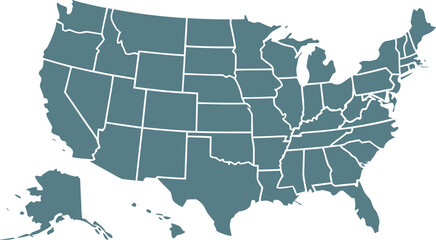 USA map with states isolated on a white background. Vector illustration of the map of the United States of America, AI-Generated Vectorfavorite_border favorite
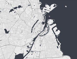 Copenhagen map. Copenhagen city map poster. Map of Copenhagen street, urban area.favorite_border favorite
 blue world map connectionfavorite_border favorite
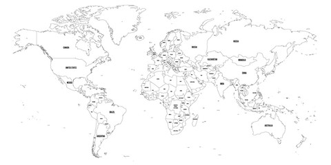 Black outline map of World. Simple vector illustration.favorite_border favorite
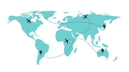 Airplane flight line paths going across blue world map - plane travel schemefavorite_border favorite
 dynamic digital world map emphasize Western Europe continental for AI powered global network connectivity big data transfer cyber technology network information exchange telecommunication concept.favorite_border favorite
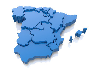 Three-dimensional map of Spain. 3dfavorite_border favorite
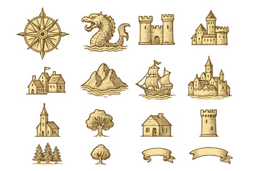 Fantasy map icons collection, vintage sketch stylefavorite_border favorite
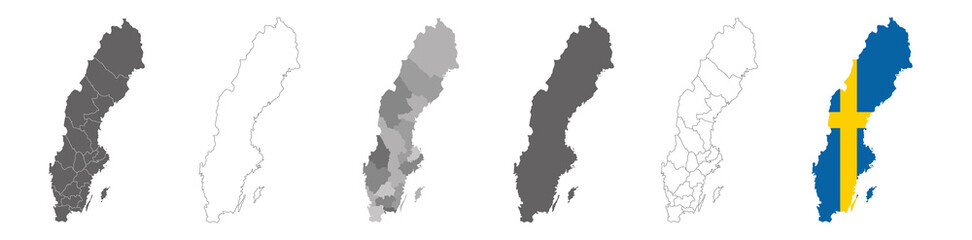 set of political maps of Sweden with regions and flag map isolated on white backgroundfavorite_border favorite
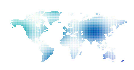 World map dotted style, vector illustration isolated on white background.favorite_border favorite
 Night planet earth from space with light lines of communication and connection. Business and finance, concept. Global communications system and the World Wide Web. Technologies and communications.favorite_border favorite
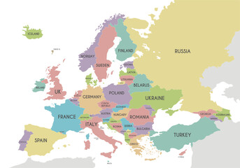 Political Europe Map vector illustration isolated on white background. Editable and clearly labeled layers.favorite_border favorite
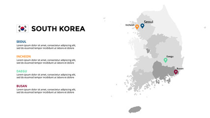 South Korea vector map infographic template. Slide presentation. Global business marketing concept. Asia country. World transportation geography data.favorite_border favorite
 City street map plan with river GPS place pins and navigation route between point markers. Vector blue color perspective view isometric illustration location schemafavorite_border favorite
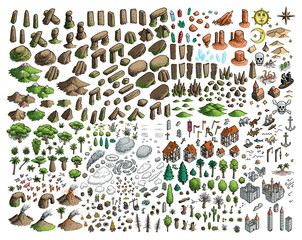 Fantasy map elements illustration, drawing, engraving, ink, line art, vectorfavorite_border favorite
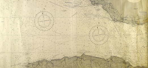 old mapfavorite_border favorite
 White wave paper curved reliefs abstract background, Abstract topographic contours map background, Vector contour topographic map background. Topography and geography map grid abstract backdrop.favorite_border favorite
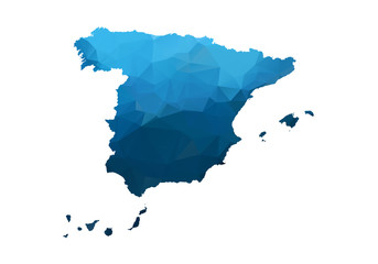 Vector Map - Blue Geometric Rumpled Triangular. Low poly map of Afghanistan. contour/shape map isolated on white background.favorite_border favorite
 Europe political map High detail color vector atlas with capitals, cities, towns names, seas, rivers and lakes High resolution map of Europe in Mercator projectionfavorite_border favorite
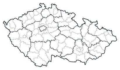 Czech republic vector map.favorite_border favorite
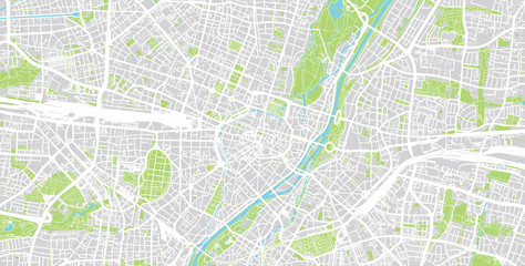 Urban vector city map of Munich, Germanyfavorite_border favorite
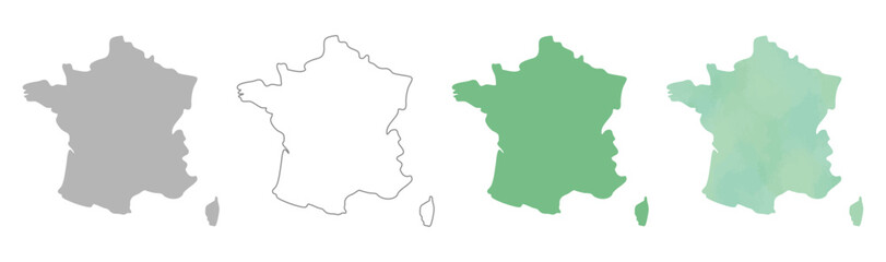 France map silhouettes in gray, outline, flat green, and watercolor texture styles.favorite_border favorite
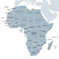 Africa, single countries, gray political map. Largest continent, including Madagascar. With English country names and international borders. Isolated illustration on white background. Vector.favorite_border favorite
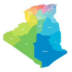 Algeria political map of administrative divisionsfavorite_border favorite
 World Map – Global Countries Outline Vectorfavorite_border favorite
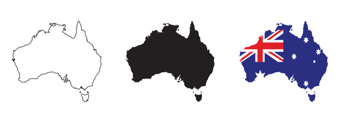 Australia map vector set with editable country outline black silhouette and national flag design featuring blue background Union Jack and white stars isolated on white for geography and education usefavorite_border favorite
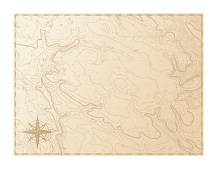 Old map isolated on white background, compass, vector illustrationfavorite_border favorite
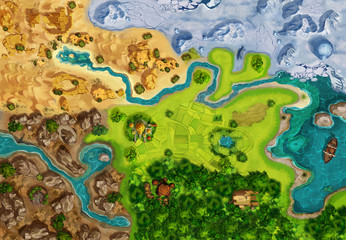 Game Map, Game Board, Top View. Medieval Style. Video Game's Digital CG Artwork, Colorful Concept Illustration, Realistic Cartoon Style Backgroundfavorite_border favorite
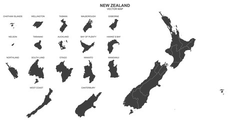 political map of New Zealand isolated on white backgroundfavorite_border favorite
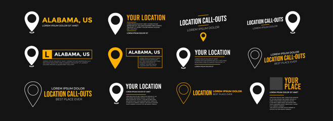 Modern location UI widget set with map pins and text call-outs. Includes location lower thirds, titles, and coordinates layouts. Ideal for maps or location-based video overlays.favorite_border favorite
 Vintage nautical map with compass and ship designfavorite_border favorite
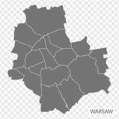 High Quality map of Warsaw is a capital Poland, with borders of the districts. Map of Warsaw for your web site design, app, UI. EPS10.favorite_border favorite
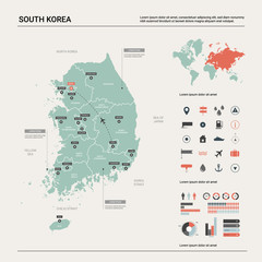 Vector map of South Korea. High detailed country map with division, cities and capital Seoul. Political map, world map, infographic elements.favorite_border favorite
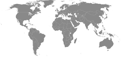 High resolution map of the world (without Antarctica) split into individual countries. Showing distinct borders between countries. Robinson projection.favorite_border favorite
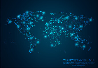 Abstract mash line and point scales on dark background with map of wolrd.3D mesh polygonal network line, design sphere, dot and structure. Vector illustration eps 10.favorite_border favorite
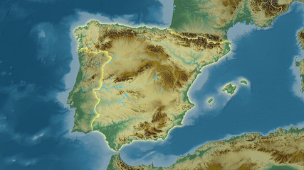 Spain, topographic relief - light glowfavorite_border favorite
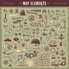 Vector illustrated set of various vintage map elementsfavorite_border favorite
 Technology network.favorite_border favorite