-
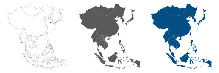
Asia Continent Line Map Set with White Blue and Grey Color Variations
Do ulubionych favorite_border
Usuń z ulubionych favorite
-
United States map one line drawing, minimalist vector illustration, editable stroke design element.
Do ulubionych favorite_border
Usuń z ulubionych favorite
-
United States Map Vector Graphic with State Boundaries and Location Markers for Cities and Landmarks
Do ulubionych favorite_border
Usuń z ulubionych favorite
-
simple logo map of brazil Illustration in a linear style. Abstract line art brazil map Logotype concept icon. Vector logo Brazil map color silhouette on a dark background. EPS 10
Do ulubionych favorite_border
Usuń z ulubionych favorite
-
Hong kong map vector illustration eps 10
Do ulubionych favorite_border
Usuń z ulubionych favorite
-
Do ulubionych favorite_border
Usuń z ulubionych favorite
-
Warsaw map vector poster flyer
Do ulubionych favorite_border
Usuń z ulubionych favorite
-
Do ulubionych favorite_border
Usuń z ulubionych favorite
-
Europe simple maps flat illustration
Do ulubionych favorite_border
Usuń z ulubionych favorite
-
Topography inspired antique map design showing natural terrain features through classic elevation lines, geographic grid overlay, and weathered textures ideal for geography, exploration.
Do ulubionych favorite_border
Usuń z ulubionych favorite
-
location marker, diverse map pin vector icons set. Ideal for mapping, navigation apps, websites. standard pins, circular markers, house shape, pushpin
Do ulubionych favorite_border
Usuń z ulubionych favorite
-
Scheme of metro stations and plan of subway with colorful lines, fictional metro map of underground, layout of public passenger transport routes, subway train tracks plan flat illustration.
Do ulubionych favorite_border
Usuń z ulubionych favorite
-
Greenland highlighted. Low-res satellite map
Do ulubionych favorite_border
Usuń z ulubionych favorite
-
Abstract mash line and point scales on dark background with map of Brazil.3D mesh polygonal network line, design sphere, dot and structure. Vector illustration eps 10.
Do ulubionych favorite_border
Usuń z ulubionych favorite
-
Vector map of Poland administrative division vol.6
Do ulubionych favorite_border
Usuń z ulubionych favorite
-
England or British or United Kingdom country map
Do ulubionych favorite_border
Usuń z ulubionych favorite
-
Urban vector city map of Copenhagen, Denmark
Do ulubionych favorite_border
Usuń z ulubionych favorite
-
Vector map of Malaysia in gray with white borders of states and territories. Minimalist political subdivision map.
Do ulubionych favorite_border
Usuń z ulubionych favorite
-
Engineer, people and hands with world map on screen for turbine location, power development and data analysis. Interactive display, teamwork and employee pointing to chart area for site selection
Do ulubionych favorite_border
Usuń z ulubionych favorite
-
Singapore map with administrative divisions. Vector illustration.
Do ulubionych favorite_border
Usuń z ulubionych favorite
-
Location icon map. Road infographic color pin pointer. City map navigation route, simple city GPS navigation, itinerary destination arrow paper city map. Route delivery check point infographic
Do ulubionych favorite_border
Usuń z ulubionych favorite
-
Political World Map with Country Name
Do ulubionych favorite_border
Usuń z ulubionych favorite
-
Do ulubionych favorite_border
Usuń z ulubionych favorite
-
World map with countries borders and red location pointers.
Do ulubionych favorite_border
Usuń z ulubionych favorite
-
Do ulubionych favorite_border
Usuń z ulubionych favorite
-
Locator flag on a city map
Do ulubionych favorite_border
Usuń z ulubionych favorite
-
United Kingdom map illustration vector detailed United Kingdom map with all state names
Do ulubionych favorite_border
Usuń z ulubionych favorite
-
Pirate map with mythological creatures, old vessels, compass and treasure islands. Pirate adventures, treasure hunt and old transportation concept. Hand drawn vector illustration, vintage background
Do ulubionych favorite_border
Usuń z ulubionych favorite
-
Vector world map for kids with cute cartoon planes and air balloons. Children's map design for wallpaper, kid's room, wall art. America, Europa, Asia, Africa, Australia, Arctica. Vector illustration.
Do ulubionych favorite_border
Usuń z ulubionych favorite
-
Do ulubionych favorite_border
Usuń z ulubionych favorite
-
Topographic map patterns, topography line map. Vintage outdoors style. World map Template. Stock vector
Do ulubionych favorite_border
Usuń z ulubionych favorite
-
Topographic map. Height map with contour lines and dotted line grid seamless vector pattern background illustration
Do ulubionych favorite_border
Usuń z ulubionych favorite
-
Samara city map - town streets on the plan. Map of the scheme of road. Urban environment, architectural background. Vector
Do ulubionych favorite_border
Usuń z ulubionych favorite
-
Vector map of Canada. High detailed country map with division, cities and capital Ottawa. Political map, world map, infographic elements.
Do ulubionych favorite_border
Usuń z ulubionych favorite
-
Do ulubionych favorite_border
Usuń z ulubionych favorite
-
Ukraine vector map with flag, globe and icons on white background
Do ulubionych favorite_border
Usuń z ulubionych favorite
-
Urban vector city map of Hanoi, Vietnam
Do ulubionych favorite_border
Usuń z ulubionych favorite
-
Dubai vector map. Detailed black map of Dubai city poster with streets. Cityscape urban vector.
Do ulubionych favorite_border
Usuń z ulubionych favorite
-
united states 3d map with borders Template for your design
Do ulubionych favorite_border
Usuń z ulubionych favorite
-
Simple map of Poland with voivodeships on white.
Do ulubionych favorite_border
Usuń z ulubionych favorite
-
Africa map silhouette vector flat illustration design. African map outline.
Do ulubionych favorite_border
Usuń z ulubionych favorite
-
USA map with states isolated on a white background. Vector illustration of the map of the United States of America, AI-Generated Vector
Do ulubionych favorite_border
Usuń z ulubionych favorite
-
Square grid of graph paper. Abstract checkered background. Geometric pattern for school, technical engineering lines scale measurement. Lined notebook form on white background
Do ulubionych favorite_border
Usuń z ulubionych favorite
-
Greyscale United States Of America political map with borders outline style vector illustration set
Do ulubionych favorite_border
Usuń z ulubionych favorite
-
Do ulubionych favorite_border
Usuń z ulubionych favorite
-
Do ulubionych favorite_border
Usuń z ulubionych favorite
-
Black and white vector city map of London
Do ulubionych favorite_border
Usuń z ulubionych favorite
-
set of 4 political maps of Thailand with regions isolated on white background
Do ulubionych favorite_border
Usuń z ulubionych favorite
-
Texas map vector poster flyer
Do ulubionych favorite_border
Usuń z ulubionych favorite
-
Italy Map Black Italian Border State Country Transparent Isolated Variations
Do ulubionych favorite_border
Usuń z ulubionych favorite
-
zoning map silhouette icon set,Transport symbol. Vector illustration.
Do ulubionych favorite_border
Usuń z ulubionych favorite
-
Blue color world map isolated on white background.
Do ulubionych favorite_border
Usuń z ulubionych favorite
-
Street map of town background in gray. Street map of town for your web site design, logo, app, UI. Stock vector. EPS10.
Do ulubionych favorite_border
Usuń z ulubionych favorite
-
Ukraine country map backgraund made from abstract halftone dot pattern, Flag concept. Vector illustration isolated on white background
Do ulubionych favorite_border
Usuń z ulubionych favorite
-
Detailed World Map in camouflage colors with a square grid
Do ulubionych favorite_border
Usuń z ulubionych favorite
-
Colombia map with shapes of regions. Blank vector map of the country with regions. Borders of the country for your infographic. Vector illustration.
Do ulubionych favorite_border
Usuń z ulubionych favorite
-
Earth globe showing continents and oceans isolated, realistic 3D rendering PNG for geography, science, and environmental studies
Do ulubionych favorite_border
Usuń z ulubionych favorite
-
Ukraine maps set. Set of Ukrainian map with names of regions and blank map of Ukraine. Vector illustration.
Do ulubionych favorite_border
Usuń z ulubionych favorite
-
High quality map of Japan with borders of the regions or counties
Do ulubionych favorite_border
Usuń z ulubionych favorite
-
Do ulubionych favorite_border
Usuń z ulubionych favorite
-
Poland map in gray on a black background 3d
Do ulubionych favorite_border
Usuń z ulubionych favorite
-
City street map of New York, USA, in black and light beige. High resolution full frame minimalist poster style road map or urban street plan of New York. Vintage look.
Do ulubionych favorite_border
Usuń z ulubionych favorite
-
Stylized map of the streets of Lodz (Poland) made with white lines on abstract blue background lit by two lights. Top view. 3d render, illustration
Do ulubionych favorite_border
Usuń z ulubionych favorite
-
World Map Vintage Old-Style - vector - blue and beige
Do ulubionych favorite_border
Usuń z ulubionych favorite
-
france 2 digit postcodes postal codes vector map
Do ulubionych favorite_border
Usuń z ulubionych favorite
-
Detailed map of the Asia-Pacific region, highlighting countries
Do ulubionych favorite_border
Usuń z ulubionych favorite
-
european countries - continent marked with flags
Do ulubionych favorite_border
Usuń z ulubionych favorite
-
vector illustration of simple abstract map of Finland
Do ulubionych favorite_border
Usuń z ulubionych favorite
-
Romania flag on the map illustration vector with transparent
Do ulubionych favorite_border
Usuń z ulubionych favorite
-
Canada map with state names for education
Do ulubionych favorite_border
Usuń z ulubionych favorite
-
Line pattern seamless map topography background. Contour texture wood topographic abstract curves vector. Mountain compass cartography with linear wavy wind map.
Do ulubionych favorite_border
Usuń z ulubionych favorite
-
City map plan pattern with road and streets of urban abstract background, seamless vector. City map pattern with town road and street lines of metropolis cartography grid for cartography background
Do ulubionych favorite_border
Usuń z ulubionych favorite
-
Do ulubionych favorite_border
Usuń z ulubionych favorite
-
Great city map creator.Seamless pattern map and Houses, infrastructure, industrial, transport, village and countryside set. Make your perfect city
Do ulubionych favorite_border
Usuń z ulubionych favorite
-
いろんな建物と地図の手描きイラストセット(カラー/主線なし)
Do ulubionych favorite_border
Usuń z ulubionych favorite
-
The Lithuania isolated map divided in regions
Do ulubionych favorite_border
Usuń z ulubionych favorite
-
Urban vector city map of Tokyo, Japan
Do ulubionych favorite_border
Usuń z ulubionych favorite
-
Do ulubionych favorite_border
Usuń z ulubionych favorite
-
Silueta del mapa de la Comunidad Valenciana en negro
Do ulubionych favorite_border
Usuń z ulubionych favorite
-
Scotland grey map with council areas. Vector illustration.
Do ulubionych favorite_border
Usuń z ulubionych favorite
-
High detailed vector map - Florida.
Do ulubionych favorite_border
Usuń z ulubionych favorite
-
Seven continents map with national borders. Asia, Africa, North and South America, Antarctica, Europe and Australia. Detailed map under Robinson projection and English labeling on white background.
Do ulubionych favorite_border
Usuń z ulubionych favorite
-
Vintage map elements set with mountains, trees, ships and compass in engraving style, Transparent Background
Do ulubionych favorite_border
Usuń z ulubionych favorite
-
Color detailed urban road plan city map Paris, vector illustration
Do ulubionych favorite_border
Usuń z ulubionych favorite
-
3d isometric map of Iberian Peninsula region, isolated with shadow
Do ulubionych favorite_border
Usuń z ulubionych favorite
-
Businessman holding a 3d rendering pin holder on a map
Do ulubionych favorite_border
Usuń z ulubionych favorite
-
Do ulubionych favorite_border
Usuń z ulubionych favorite
-
set of 4 political maps of Turkey with regions isolated on white background
Do ulubionych favorite_border
Usuń z ulubionych favorite
-
Location services as destination GPS pin point on map tiny persons concept
Do ulubionych favorite_border
Usuń z ulubionych favorite
-
Do ulubionych favorite_border
Usuń z ulubionych favorite
-
Do ulubionych favorite_border
Usuń z ulubionych favorite
-
New south wales australia map outline silhouette vector illustration
Do ulubionych favorite_border
Usuń z ulubionych favorite
-
Black and white contour map illustration of a winding river and surrounding terrain topography landscape
Do ulubionych favorite_border
Usuń z ulubionych favorite
-
Vector fill, stroke with fill and dotted USA California map
Do ulubionych favorite_border
Usuń z ulubionych favorite
-
China map vector icon set. Silhouette, states, regions, outline, flag, flat, dotted styles. Vector illustration
Do ulubionych favorite_border
Usuń z ulubionych favorite
-
Budapest map vector poster flyer
Do ulubionych favorite_border
Usuń z ulubionych favorite
-
Urban city map of Miami, Florida
Do ulubionych favorite_border
Usuń z ulubionych favorite
-
Woman traveler explorer with backpack hiking to the top of the mountain. Adventure weekend.
Do ulubionych favorite_border
Usuń z ulubionych favorite
-
Blue location symbol pin icon sign or navigation locator map travel gps direction pointer and marker place position point design element on route graphic road mark destination background. 3D render.
Do ulubionych favorite_border
Usuń z ulubionych favorite
-
Physical map of Mediterranean region, with high resolution details. Flattened satellite view of Planet Earth and its topography. 3D illustration - Elements of this image furnished by NASA
Do ulubionych favorite_border
Usuń z ulubionych favorite
 Asia Continent Line Map Set with White Blue and Grey Color Variationsfavorite_border favorite
 United States map one line drawing, minimalist vector illustration, editable stroke design element.favorite_border favorite
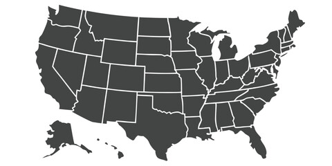 United States Map Vector Graphic with State Boundaries and Location Markers for Cities and Landmarksfavorite_border favorite
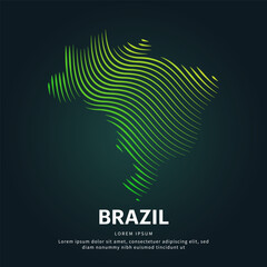 simple logo map of brazil Illustration in a linear style. Abstract line art brazil map Logotype concept icon. Vector logo Brazil map color silhouette on a dark background. EPS 10favorite_border favorite
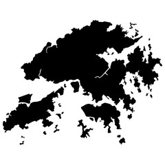 Hong kong map vector illustration eps 10favorite_border favorite
 map locator iconfavorite_border favorite
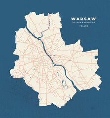 Warsaw map vector poster flyerfavorite_border favorite
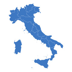 Regions map of Italyfavorite_border favorite
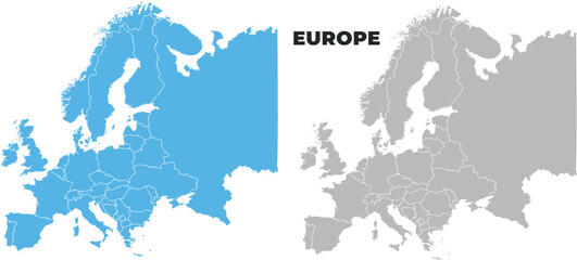 Europe simple maps flat illustrationfavorite_border favorite
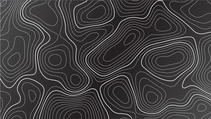 Topography inspired antique map design showing natural terrain features through classic elevation lines, geographic grid overlay, and weathered textures ideal for geography, exploration.favorite_border favorite
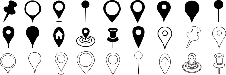 location marker, diverse map pin vector icons set. Ideal for mapping, navigation apps, websites. standard pins, circular markers, house shape, pushpinfavorite_border favorite
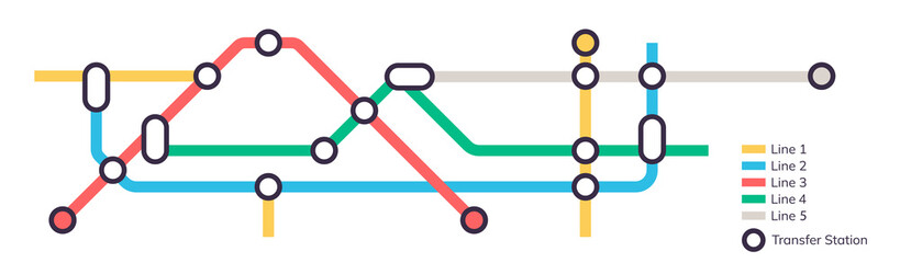 Scheme of metro stations and plan of subway with colorful lines, fictional metro map of underground, layout of public passenger transport routes, subway train tracks plan flat illustration.favorite_border favorite
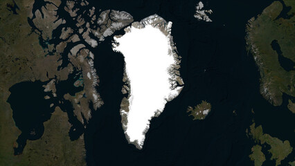 Greenland highlighted. Low-res satellite mapfavorite_border favorite
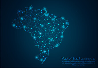 Abstract mash line and point scales on dark background with map of Brazil.3D mesh polygonal network line, design sphere, dot and structure. Vector illustration eps 10.favorite_border favorite
 Vector map of Poland administrative division vol.6favorite_border favorite
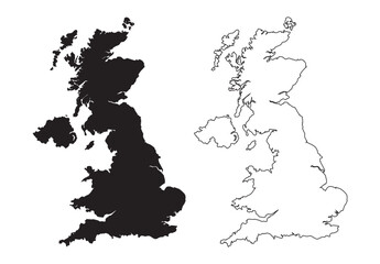 England or British or United Kingdom country mapfavorite_border favorite
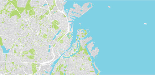 Urban vector city map of Copenhagen, Denmarkfavorite_border favorite
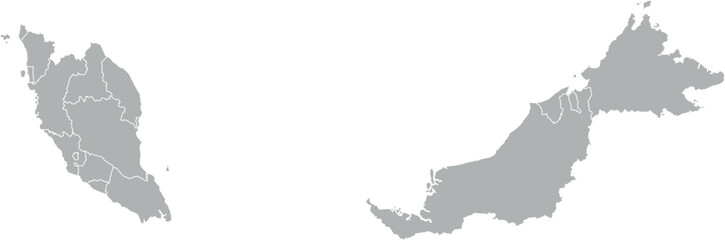 Vector map of Malaysia in gray with white borders of states and territories. Minimalist political subdivision map.favorite_border favorite
 Engineer, people and hands with world map on screen for turbine location, power development and data analysis. Interactive display, teamwork and employee pointing to chart area for site selectionfavorite_border favorite
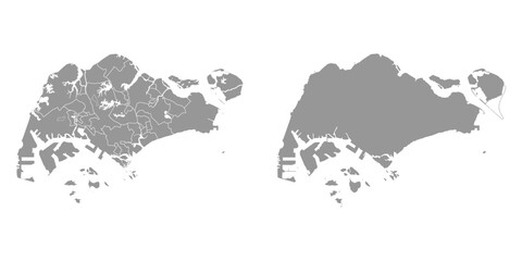 Singapore map with administrative divisions. Vector illustration.favorite_border favorite
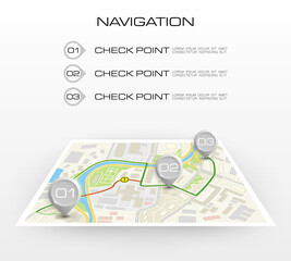 Location icon map. Road infographic color pin pointer. City map navigation route, simple city GPS navigation, itinerary destination arrow paper city map. Route delivery check point infographicfavorite_border favorite
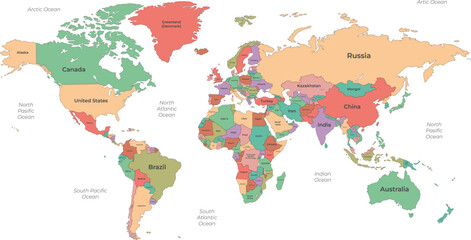 Political World Map with Country Namefavorite_border favorite
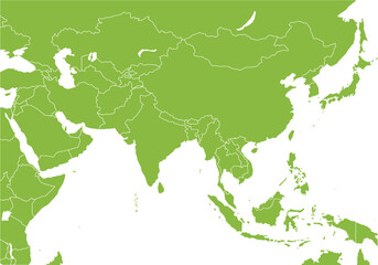 アジア全域の地図、国境線、エコロジーfavorite_border favorite
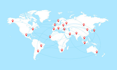 World map with countries borders and red location pointers.favorite_border favorite
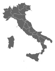 Map of Italyfavorite_border favorite
 Locator flag on a city mapfavorite_border favorite
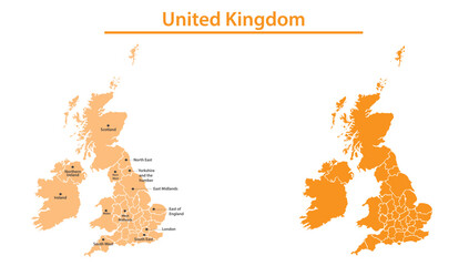 United Kingdom map illustration vector detailed United Kingdom map with all state namesfavorite_border favorite
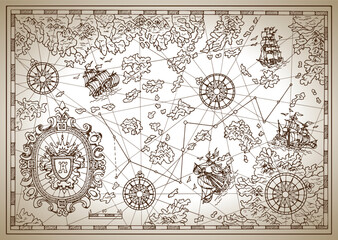 Pirate map with mythological creatures, old vessels, compass and treasure islands. Pirate adventures, treasure hunt and old transportation concept. Hand drawn vector illustration, vintage backgroundfavorite_border favorite
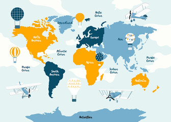 Vector world map for kids with cute cartoon planes and air balloons. Children's map design for wallpaper, kid's room, wall art. America, Europa, Asia, Africa, Australia, Arctica. Vector illustration.favorite_border favorite
 Striped map of Africafavorite_border favorite
 Topographic map patterns, topography line map. Vintage outdoors style. World map Template. Stock vectorfavorite_border favorite
 Topographic map. Height map with contour lines and dotted line grid seamless vector pattern background illustrationfavorite_border favorite
 Samara city map - town streets on the plan. Map of the scheme of road. Urban environment, architectural background. Vectorfavorite_border favorite
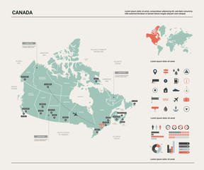 Vector map of Canada. High detailed country map with division, cities and capital Ottawa. Political map, world map, infographic elements.favorite_border favorite
 Mapa Polski - konturyfavorite_border favorite
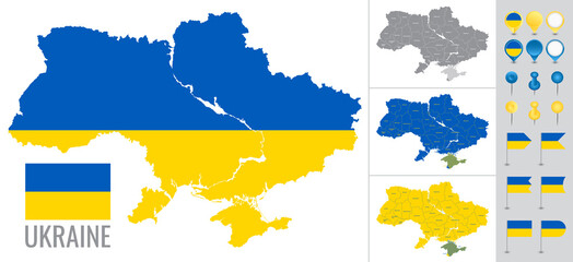 Ukraine vector map with flag, globe and icons on white backgroundfavorite_border favorite
 Urban vector city map of Hanoi, Vietnamfavorite_border favorite
 Dubai vector map. Detailed black map of Dubai city poster with streets. Cityscape urban vector.favorite_border favorite
 united states 3d map with borders Template for your designfavorite_border favorite
 Simple map of Poland with voivodeships on white.favorite_border favorite
 Africa map silhouette vector flat illustration design. African map outline.favorite_border favorite
 USA map with states isolated on a white background. Vector illustration of the map of the United States of America, AI-Generated Vectorfavorite_border favorite
 Square grid of graph paper. Abstract checkered background. Geometric pattern for school, technical engineering lines scale measurement. Lined notebook form on white backgroundfavorite_border favorite
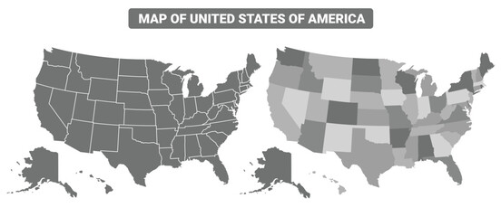 Greyscale United States Of America political map with borders outline style vector illustration setfavorite_border favorite
 Vector dotted world mapfavorite_border favorite
 Map mondefavorite_border favorite
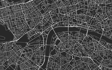 Black and white vector city map of Londonfavorite_border favorite
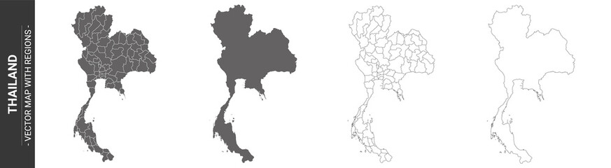 set of 4 political maps of Thailand with regions isolated on white backgroundfavorite_border favorite
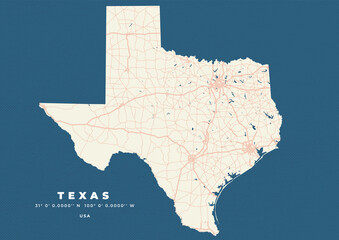 Texas map vector poster flyerfavorite_border favorite
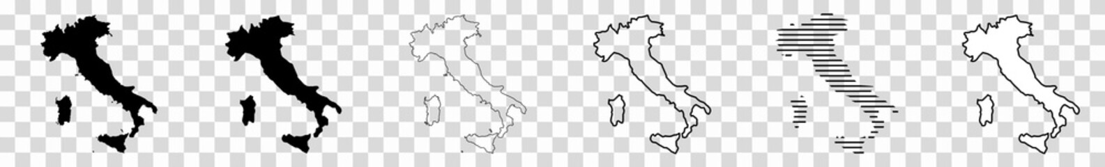 Italy Map Black Italian Border State Country Transparent Isolated Variationsfavorite_border favorite
 zoning map silhouette icon set,Transport symbol. Vector illustration.favorite_border favorite
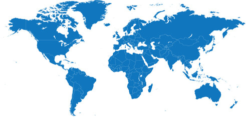 Blue color world map isolated on white background.favorite_border favorite
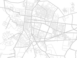 Street map of town background in gray. Street map of town for your web site design, logo, app, UI. Stock vector. EPS10.favorite_border favorite
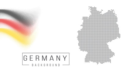 Ukraine country map backgraund made from abstract halftone dot pattern, Flag concept. Vector illustration isolated on white backgroundfavorite_border favorite
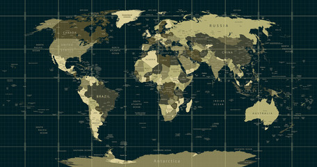 Detailed World Map in camouflage colors with a square gridfavorite_border favorite
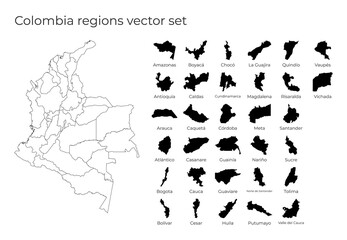 Colombia map with shapes of regions. Blank vector map of the country with regions. Borders of the country for your infographic. Vector illustration.favorite_border favorite
 Earth globe showing continents and oceans isolated, realistic 3D rendering PNG for geography, science, and environmental studiesfavorite_border favorite
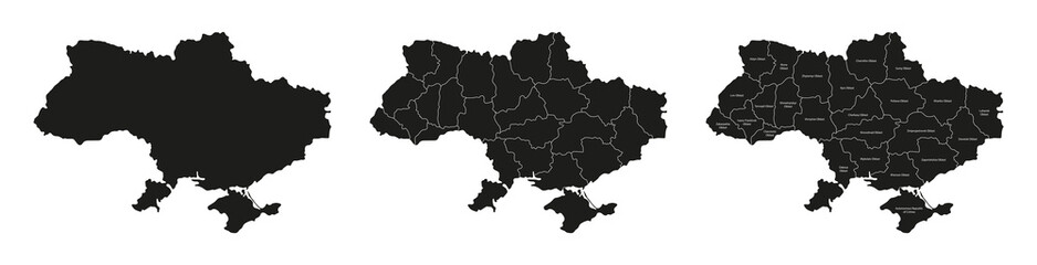 Ukraine maps set. Set of Ukrainian map with names of regions and blank map of Ukraine. Vector illustration.favorite_border favorite
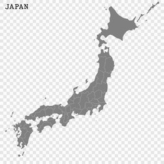 High quality map of Japan with borders of the regions or countiesfavorite_border favorite
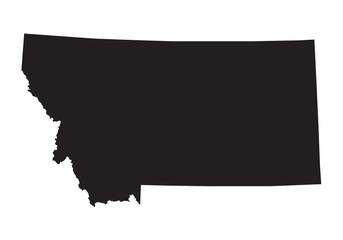 black map of Montanafavorite_border favorite
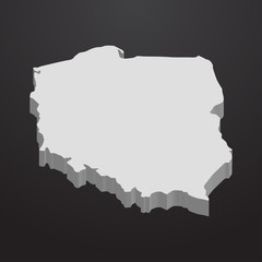 Poland map in gray on a black background 3dfavorite_border favorite
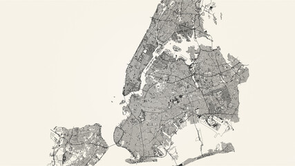 City street map of New York, USA, in black and light beige. High resolution full frame minimalist poster style road map or urban street plan of New York. Vintage look.favorite_border favorite
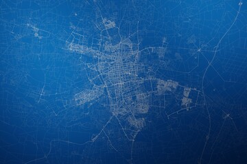 Stylized map of the streets of Lodz (Poland) made with white lines on abstract blue background lit by two lights. Top view. 3d render, illustrationfavorite_border favorite
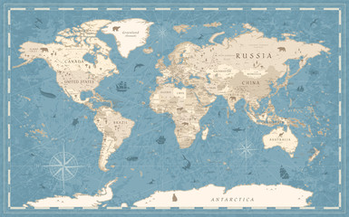 World Map Vintage Old-Style - vector - blue and beigefavorite_border favorite
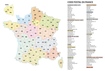 france 2 digit postcodes postal codes vector mapfavorite_border favorite
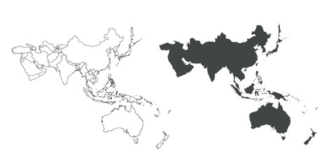 Detailed map of the Asia-Pacific region, highlighting countriesfavorite_border favorite
 european countries - continent marked with flagsfavorite_border favorite
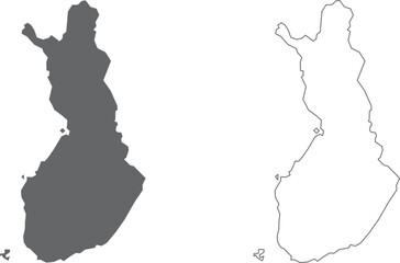 vector illustration of simple abstract map of Finlandfavorite_border favorite
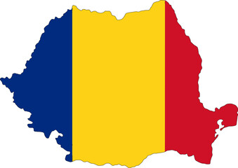 Romania flag on the map illustration vector with transparentfavorite_border favorite
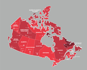 Canada map with state names for educationfavorite_border favorite
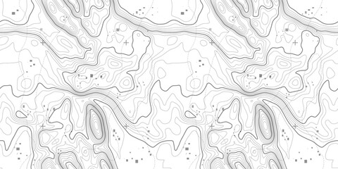 Line pattern seamless map topography background. Contour texture wood topographic abstract curves vector. Mountain compass cartography with linear wavy wind map.favorite_border favorite
 City map plan pattern with road and streets of urban abstract background, seamless vector. City map pattern with town road and street lines of metropolis cartography grid for cartography backgroundfavorite_border favorite
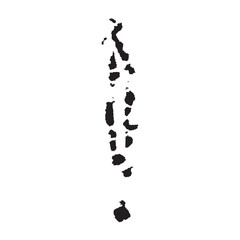 Maldives map iconfavorite_border favorite
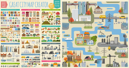 Great city map creator.Seamless pattern map and Houses, infrastructure, industrial, transport, village and countryside set. Make your perfect cityfavorite_border favorite
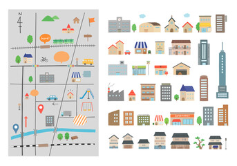 いろんな建物と地図の手描きイラストセット(カラー/主線なし)favorite_border favorite
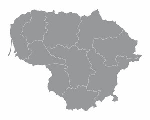 The Lithuania isolated map divided in regionsfavorite_border favorite
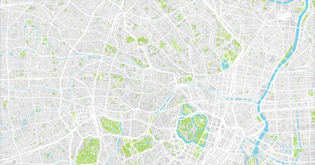 Urban vector city map of Tokyo, Japanfavorite_border favorite
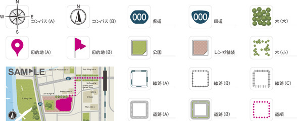 地図作成のための素材favorite_border favorite
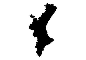 Silueta del mapa de la Comunidad Valenciana en negrofavorite_border favorite
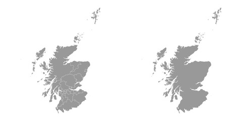 Scotland grey map with council areas. Vector illustration.favorite_border favorite
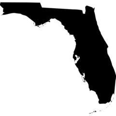 High detailed vector map - Florida.favorite_border favorite
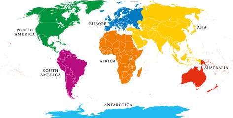 Seven continents map with national borders. Asia, Africa, North and South America, Antarctica, Europe and Australia. Detailed map under Robinson projection and English labeling on white background.favorite_border favorite
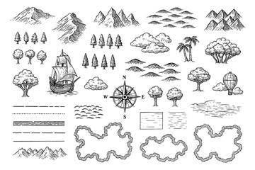 Vintage map elements set with mountains, trees, ships and compass in engraving style, Transparent Backgroundfavorite_border favorite
 Color detailed urban road plan city map Paris, vector illustrationfavorite_border favorite
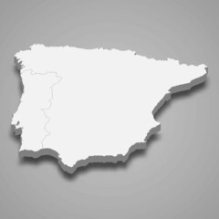 3d isometric map of Iberian Peninsula region, isolated with shadowfavorite_border favorite
 Businessman holding a 3d rendering pin holder on a mapfavorite_border favorite
 mapsfavorite_border favorite
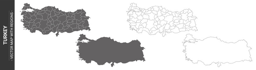 set of 4 political maps of Turkey with regions isolated on white backgroundfavorite_border favorite
 Location services as destination GPS pin point on map tiny persons conceptfavorite_border favorite
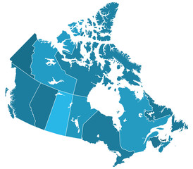 Canada regions mapfavorite_border favorite
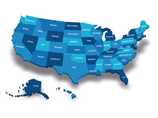 Map of USAfavorite_border favorite
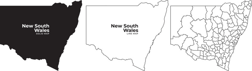 New south wales australia map outline silhouette vector illustrationfavorite_border favorite
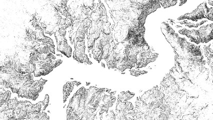 Black and white contour map illustration of a winding river and surrounding terrain topography landscapefavorite_border favorite
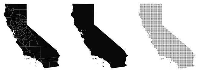 Vector fill, stroke with fill and dotted USA California mapfavorite_border favorite
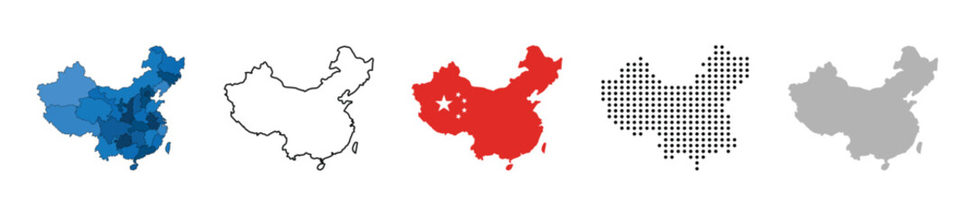 China map vector icon set. Silhouette, states, regions, outline, flag, flat, dotted styles. Vector illustrationfavorite_border favorite
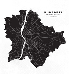 Budapest map vector poster flyerfavorite_border favorite
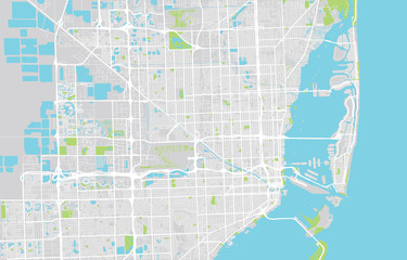 Urban city map of Miami, Floridafavorite_border favorite
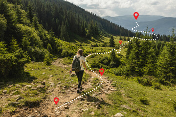 Woman traveler explorer with backpack hiking to the top of the mountain. Adventure weekend.favorite_border favorite
 Blue location symbol pin icon sign or navigation locator map travel gps direction pointer and marker place position point design element on route graphic road mark destination background. 3D render.favorite_border favorite
 Physical map of Mediterranean region, with high resolution details. Flattened satellite view of Planet Earth and its topography. 3D illustration - Elements of this image furnished by NASAfavorite_border favorite