-
set of 4 political maps of Spain with regions isolated on white background
Do ulubionych favorite_border
Usuń z ulubionych favorite
-
3d render of a relief map of the world. Elements of this image furnished by NASA.
Do ulubionych favorite_border
Usuń z ulubionych favorite
-
Planet Earth from Space EU Europe Countries highlighted, elements of this image courtesy of NASA
Do ulubionych favorite_border
Usuń z ulubionych favorite
-
Textured vintage world map - English/US Labels - Vector CMYK
Do ulubionych favorite_border
Usuń z ulubionych favorite
-
Selective focus of Red pin on map background
Do ulubionych favorite_border
Usuń z ulubionych favorite
-
simple white world map with height infomation, 3d rendering
Do ulubionych favorite_border
Usuń z ulubionych favorite
-
World map divided into six continents. Each continent in different color. Simple flat vector illustration
Do ulubionych favorite_border
Usuń z ulubionych favorite
-
世界地図国名海名入り Vector of world map
Do ulubionych favorite_border
Usuń z ulubionych favorite
-
Global network connection. World map point and line composition concept of global business. Vector Illustration
Do ulubionych favorite_border
Usuń z ulubionych favorite
-
High Detailed Vector Political World Map Miller Cylindrical Projection Map Illustration
Do ulubionych favorite_border
Usuń z ulubionych favorite
-
Do ulubionych favorite_border
Usuń z ulubionych favorite
-
Do ulubionych favorite_border
Usuń z ulubionych favorite
-
Mazowieckie voivodship map
Do ulubionych favorite_border
Usuń z ulubionych favorite
-
CARTE DU MONDE SIMPLIFIÉE
Do ulubionych favorite_border
Usuń z ulubionych favorite
-
Do ulubionych favorite_border
Usuń z ulubionych favorite
-
Europe 3d map of europe Template for your design
Do ulubionych favorite_border
Usuń z ulubionych favorite
-
Warsaw map. Detailed map of Warsaw city poster with streets. Dark vector.
Do ulubionych favorite_border
Usuń z ulubionych favorite
-
Mapa Europy w wersji artystycznej na białym tle
Do ulubionych favorite_border
Usuń z ulubionych favorite
-
Cute hand drawn map with mountains, tents, trees, hills. 3d illustrated landscape, adventure - great for banners, wallpapers, cards.
Do ulubionych favorite_border
Usuń z ulubionych favorite
-
City map navigation. GPS navigator. Point marker icon. Top view, view from above. Abstract background. Cute simple design. Flat style vector illustration.
Do ulubionych favorite_border
Usuń z ulubionych favorite
-
Black and white topographic map with contour lines and elevation marks. Stylish fantasy topo map for navigation with terrain contour and elevation signs.
Do ulubionych favorite_border
Usuń z ulubionych favorite
-
set of 3 maps of Italy - vector illustrations
Do ulubionych favorite_border
Usuń z ulubionych favorite
-
Simple (only sharp corners) map of Czechia (Czech Republic) vector drawing. Mercator projection. Filled and outline version.
Do ulubionych favorite_border
Usuń z ulubionych favorite
-
Folded paper city map with red pin pointer
Do ulubionych favorite_border
Usuń z ulubionych favorite
-
World Map Vector. Detailed illustration of worldmap
Do ulubionych favorite_border
Usuń z ulubionych favorite
-
Set of map pointers vector icon
Do ulubionych favorite_border
Usuń z ulubionych favorite
-
Illustration of a pirate map concept
Do ulubionych favorite_border
Usuń z ulubionych favorite
-
Vector black map of New york
Do ulubionych favorite_border
Usuń z ulubionych favorite
-
Vector set of Spain country. Isometric 3d map, Spain map, Europe map - with region, state names and city names.
Do ulubionych favorite_border
Usuń z ulubionych favorite
-
Old collection compass, telescope and collecting rare items on antique world map. (vintage style)
Do ulubionych favorite_border
Usuń z ulubionych favorite
-
podział administracyjny polski, województwa
Do ulubionych favorite_border
Usuń z ulubionych favorite
-
Brazil map of provinces, political maps of brazil south america - Vector File
Do ulubionych favorite_border
Usuń z ulubionych favorite
-
Illustrative map of a big fictional city. Abstract high resolution full frame urban city map background.
Do ulubionych favorite_border
Usuń z ulubionych favorite
-
Topographic map background. Geographic line map with elevation assignments. Contour background geographic grid. Vector illustration.
Do ulubionych favorite_border
Usuń z ulubionych favorite
-
Mapa Polski z podziałek na Województwa mapa konturowa Polski
Do ulubionych favorite_border
Usuń z ulubionych favorite
-
Mexico 3d map with borders Template for your design
Do ulubionych favorite_border
Usuń z ulubionych favorite
-
Do ulubionych favorite_border
Usuń z ulubionych favorite
-
topographic line contour map background, Topographic map and landscape terrain texture grid, Abstract lines background. Contour maps. Vector illustration.
Do ulubionych favorite_border
Usuń z ulubionych favorite
-
Do ulubionych favorite_border
Usuń z ulubionych favorite
-
Woman holding a compass and reading a map while hiking
Do ulubionych favorite_border
Usuń z ulubionych favorite
-
Vector black map icon set. Map Icon Object, Map Icon Picture, Map Icon Image - stock vector
Do ulubionych favorite_border
Usuń z ulubionych favorite
-
set of 4 political maps of Peru with regions isolated on white background
Do ulubionych favorite_border
Usuń z ulubionych favorite
-
Do ulubionych favorite_border
Usuń z ulubionych favorite
-
Do ulubionych favorite_border
Usuń z ulubionych favorite
-
Do ulubionych favorite_border
Usuń z ulubionych favorite
-
poland map - High detailed blue map with counties/regions/states of poland. poland map isolated on transparent background.
Do ulubionych favorite_border
Usuń z ulubionych favorite
-
Isolated Unrolled Old Grungy Paper Scroll
Do ulubionych favorite_border
Usuń z ulubionych favorite
-
Locator mark of map and location pin or navigation icon sign on blue background with search concept. 3D rendering.
Do ulubionych favorite_border
Usuń z ulubionych favorite
-
United States vector map with state boundaries, including Alaska & Hawaii (Albers equal area conic projection, PPT-compatible & fully editable)
Do ulubionych favorite_border
Usuń z ulubionych favorite
-
Województwo pomorskie z kodami pocztowymi i podziałami na gminy i powiaty
Do ulubionych favorite_border
Usuń z ulubionych favorite
-
Simple outline of world map on transparent background, vector 10 eps.
Do ulubionych favorite_border
Usuń z ulubionych favorite
-
Set of dotted world maps in different resolution
Do ulubionych favorite_border
Usuń z ulubionych favorite
-
Old geographical map of the world of the 18 century. Collage. A good background for design on the theme of travel, geography, history, voyage, etc. Ancient map background.
Do ulubionych favorite_border
Usuń z ulubionych favorite
-
Do ulubionych favorite_border
Usuń z ulubionych favorite
-
japan vector map in solid style
Do ulubionych favorite_border
Usuń z ulubionych favorite
-
Vector map of Africa Continent
Do ulubionych favorite_border
Usuń z ulubionych favorite
-
Poland - map and flag illustration
Do ulubionych favorite_border
Usuń z ulubionych favorite
-
Canary Islands map country vector illustration
Do ulubionych favorite_border
Usuń z ulubionych favorite
-
Do ulubionych favorite_border
Usuń z ulubionych favorite
-
All 225 Complete Countries Map of the World Perfect Icons . A complete maps of the world. Every single country map are listed and isolated with names.
Do ulubionych favorite_border
Usuń z ulubionych favorite
-
Vector map of Jamaica on the radar green screen
Do ulubionych favorite_border
Usuń z ulubionych favorite
-
Highlighted infographic map illustration of Mexico, ideal for education, travel guides, and geography presentations.
Do ulubionych favorite_border
Usuń z ulubionych favorite
-
Stylized simple outline map of Spain icon. Blue sketch map of Spain vector illustration
Do ulubionych favorite_border
Usuń z ulubionych favorite
-
USA modern map with federal states in blue color isolated on white background vector illustration eps 10
Do ulubionych favorite_border
Usuń z ulubionych favorite
-
world map political boundaries
Do ulubionych favorite_border
Usuń z ulubionych favorite
-
Simplified schematic map of World. Political map of countries with generalized borders. Simple flat vector illustration
Do ulubionych favorite_border
Usuń z ulubionych favorite
-
Colorful detailed vector map of the north American country.
Do ulubionych favorite_border
Usuń z ulubionych favorite
-
Europe dotted digital map for data visualization design
Do ulubionych favorite_border
Usuń z ulubionych favorite
-
USA Map. Poster map of United States of America. Print of USA with name states, poster or geographic, political theme. Infographic graphic design print map of USA states. Vector Illustration
Do ulubionych favorite_border
Usuń z ulubionych favorite
-
Fiery abstract texture with intense red yellow and blue highlights resembling liquid lava or thermal heat map.
Do ulubionych favorite_border
Usuń z ulubionych favorite
-
Detailed political map of the European continent featuring clearly defined national borders and country names written in Spanish language printed as a black line on transparent background
Do ulubionych favorite_border
Usuń z ulubionych favorite
-
argentina map flag icon set
Do ulubionych favorite_border
Usuń z ulubionych favorite
-
Clean World Map Outline with Borders
Do ulubionych favorite_border
Usuń z ulubionych favorite
-
Navigation icons set with editable stroke, including location, navigation, direction, compass, map pin, route planner, geolocation. Thin linear vector illustration.
Do ulubionych favorite_border
Usuń z ulubionych favorite
-
Maps icon set. Editable stroke. Containing maps, location, GPS, navigation, city map, atlas, route, direction, pin and more. Outline Icon Collection.
Do ulubionych favorite_border
Usuń z ulubionych favorite
-
Spain country border map outline and silhouette vector graphic isolated image decal
Do ulubionych favorite_border
Usuń z ulubionych favorite
-
Do ulubionych favorite_border
Usuń z ulubionych favorite
-
Flat icon set of location and map pins
Do ulubionych favorite_border
Usuń z ulubionych favorite
-
Denmark map vector. High detailed vector outline, blue silhouette and administrative divisions map of Denmark. All isolated on white background. Template for website, design, cover, infographics
Do ulubionych favorite_border
Usuń z ulubionych favorite
-
Connected European map concept – European Union, trade, digitalization, future
Do ulubionych favorite_border
Usuń z ulubionych favorite
-
Flat earth world map with outline borders. Modern digital globe. Grey land on white background. Political map. Worldmap template for website, infographics, design.
Do ulubionych favorite_border
Usuń z ulubionych favorite
-
Detailed World Map with All Country Borders and Black Outlines
Do ulubionych favorite_border
Usuń z ulubionych favorite
-
City map of Bordeaux Centre, France
Do ulubionych favorite_border
Usuń z ulubionych favorite
-
world map silhouette design vector art illustration isolated on transparent background.
Do ulubionych favorite_border
Usuń z ulubionych favorite
-
Vector Linear World Map, editable stroke. vector illustration isolated on white background.
Do ulubionych favorite_border
Usuń z ulubionych favorite
-
Location icon set with map, pin, navigation, distance, direction and address symbols in solid vector style.
Do ulubionych favorite_border
Usuń z ulubionych favorite
-
World Map with Country Borders
Do ulubionych favorite_border
Usuń z ulubionych favorite
-
マップ・地図で使えるマップピン・押しピンアイコンイラスト影付き
Do ulubionych favorite_border
Usuń z ulubionych favorite
-
Vintage physical world map with rivers and mountains vector illustration
Do ulubionych favorite_border
Usuń z ulubionych favorite
-
Do ulubionych favorite_border
Usuń z ulubionych favorite
-
Krakow mapa Cracow Poland vector map Old town plan
Do ulubionych favorite_border
Usuń z ulubionych favorite
-
Cute hand drawn map with mountains, tents, trees, hills. 3d illustrated landscape, adventure - great for banners, wallpapers, cards.
Do ulubionych favorite_border
Usuń z ulubionych favorite
-
AI artificial intelligence drives data analytics with predictive models, smart dashboards, and virtual assistant insights for data-driven business decisions.
Do ulubionych favorite_border
Usuń z ulubionych favorite
-
World map isolated on white background. for website layouts, background, education, precise, customizable, Travel worldwide, map silhouette backdrop, earth geography, political, reports.
Do ulubionych favorite_border
Usuń z ulubionych favorite
-
A detailed political map of the United States of America with an abbreviated names of states2. Vector flat clipart.
Do ulubionych favorite_border
Usuń z ulubionych favorite
-
Transportation navigation icons set featuring pedestrian bicycle bus car traffic signs parking map location symbols solid vector illustration collection
Do ulubionych favorite_border
Usuń z ulubionych favorite
-
A detailed map of Europe-Africa. Europe-Africa map vector with country and capital name.
Do ulubionych favorite_border
Usuń z ulubionych favorite
-
A generic city map with a pin
Do ulubionych favorite_border
Usuń z ulubionych favorite
-
World Map - Political - Vector Detailed Illustration
Do ulubionych favorite_border
Usuń z ulubionych favorite
-
Modern Infographic Template
Do ulubionych favorite_border
Usuń z ulubionych favorite
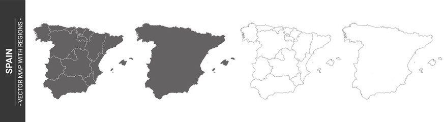 set of 4 political maps of Spain with regions isolated on white backgroundfavorite_border favorite
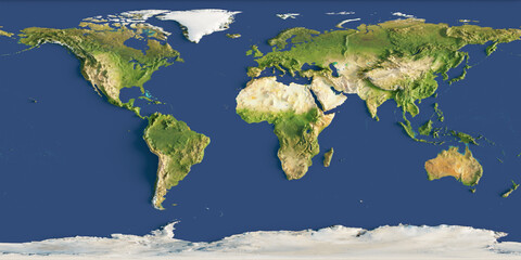 3d render of a relief map of the world. Elements of this image furnished by NASA.favorite_border favorite
 Planet Earth from Space EU Europe Countries highlighted, elements of this image courtesy of NASAfavorite_border favorite
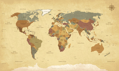 Textured vintage world map - English/US Labels - Vector CMYKfavorite_border favorite
 Selective focus of Red pin on map backgroundfavorite_border favorite
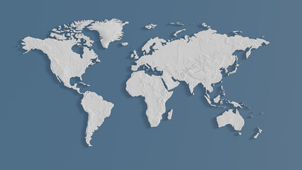 simple white world map with height infomation, 3d renderingfavorite_border favorite
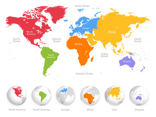 World map divided into six continents. Each continent in different color. Simple flat vector illustrationfavorite_border favorite
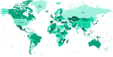 世界地図国名海名入り Vector of world mapfavorite_border favorite
 Global network connection. World map point and line composition concept of global business. Vector Illustrationfavorite_border favorite
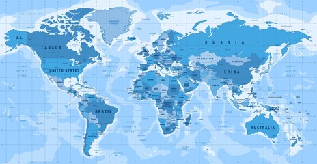 High Detailed Vector Political World Map Miller Cylindrical Projection Map Illustrationfavorite_border favorite
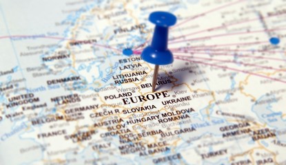 europefavorite_border favorite
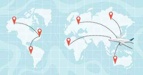 A world map destinationfavorite_border favorite
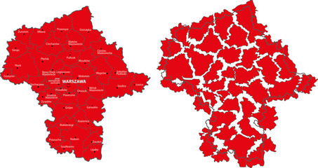 Mazowieckie voivodship mapfavorite_border favorite
 CARTE DU MONDE SIMPLIFIÉEfavorite_border favorite
 Mapa Polski Konturyfavorite_border favorite
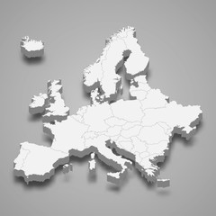 Europe 3d map of europe Template for your designfavorite_border favorite
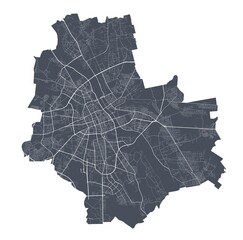 Warsaw map. Detailed map of Warsaw city poster with streets. Dark vector.favorite_border favorite
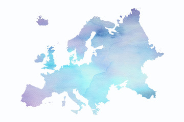 Mapa Europy w wersji artystycznej na białym tlefavorite_border favorite
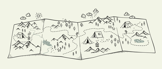 Cute hand drawn map with mountains, tents, trees, hills. 3d illustrated landscape, adventure - great for banners, wallpapers, cards.favorite_border favorite
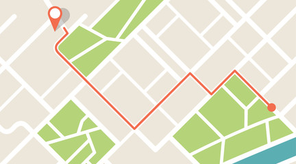 City map navigation. GPS navigator. Point marker icon. Top view, view from above. Abstract background. Cute simple design. Flat style vector illustration.favorite_border favorite
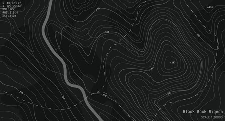 Black and white topographic map with contour lines and elevation marks. Stylish fantasy topo map for navigation with terrain contour and elevation signs.favorite_border favorite
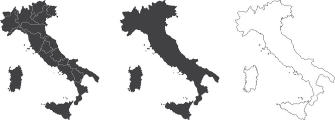 set of 3 maps of Italy - vector illustrationsfavorite_border favorite
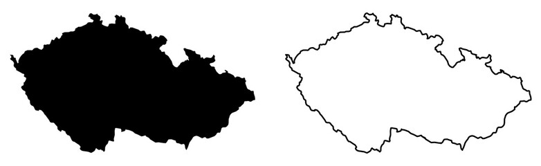 Simple (only sharp corners) map of Czechia (Czech Republic) vector drawing. Mercator projection. Filled and outline version.favorite_border favorite
 Folded paper city map with red pin pointerfavorite_border favorite
 World Map Vector. Detailed illustration of worldmapfavorite_border favorite
 Set of map pointers vector iconfavorite_border favorite
 Illustration of a pirate map conceptfavorite_border favorite
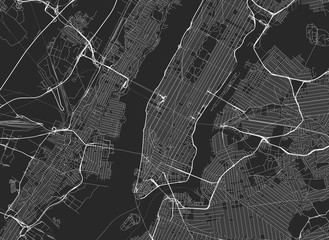 Vector black map of New yorkfavorite_border favorite
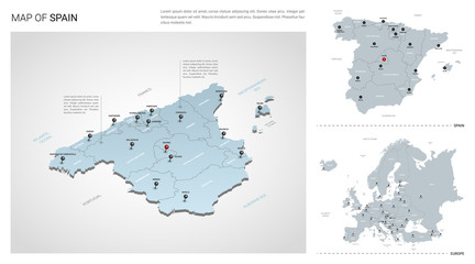 Vector set of Spain country. Isometric 3d map, Spain map, Europe map - with region, state names and city names.favorite_border favorite
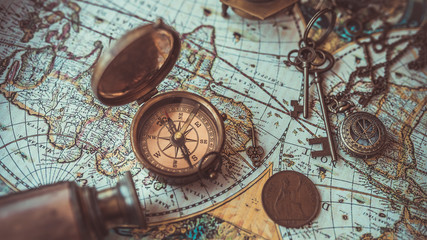 Old collection compass, telescope and collecting rare items on antique world map. (vintage style)favorite_border favorite
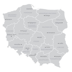 podział administracyjny polski, województwafavorite_border favorite
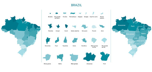 Brazil map of provinces, political maps of brazil south america - Vector Filefavorite_border favorite
 Illustrative map of a big fictional city. Abstract high resolution full frame urban city map background.favorite_border favorite
 Topographic map background. Geographic line map with elevation assignments. Contour background geographic grid. Vector illustration.favorite_border favorite
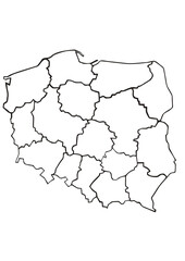 Mapa Polski z podziałek na Województwa mapa konturowa Polskifavorite_border favorite
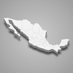 Mexico 3d map with borders Template for your designfavorite_border favorite
 Geography backgroundfavorite_border favorite
 topographic line contour map background, Topographic map and landscape terrain texture grid, Abstract lines background. Contour maps. Vector illustration.favorite_border favorite
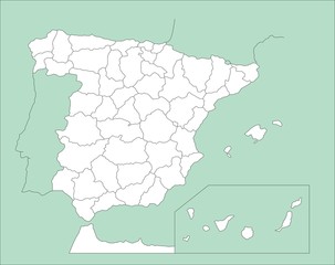 Mapa de España_4favorite_border favorite
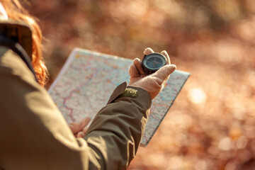 Woman holding a compass and reading a map while hikingfavorite_border favorite
 Vector black map icon set. Map Icon Object, Map Icon Picture, Map Icon Image - stock vectorfavorite_border favorite
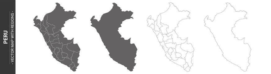 set of 4 political maps of Peru with regions isolated on white backgroundfavorite_border favorite
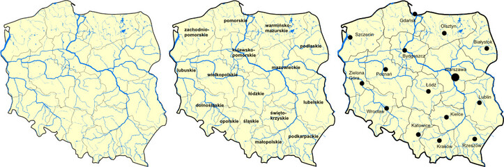 Mapa Polskifavorite_border favorite
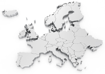 Euro mapfavorite_border favorite
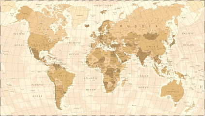 World Map Vintage Vectorfavorite_border favorite
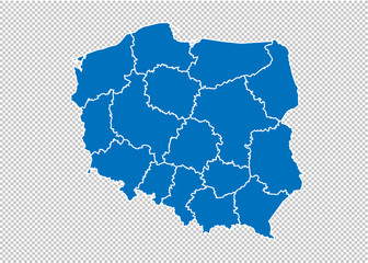 poland map - High detailed blue map with counties/regions/states of poland. poland map isolated on transparent background.favorite_border favorite
 Isolated Unrolled Old Grungy Paper Scrollfavorite_border favorite
 Locator mark of map and location pin or navigation icon sign on blue background with search concept. 3D rendering.favorite_border favorite
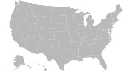 United States vector map with state boundaries, including Alaska & Hawaii (Albers equal area conic projection, PPT-compatible & fully editable)favorite_border favorite
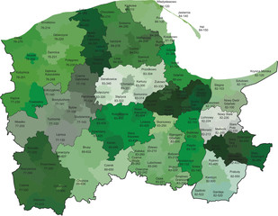 Województwo pomorskie z kodami pocztowymi i podziałami na gminy i powiatyfavorite_border favorite
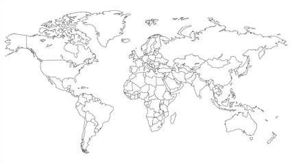 Simple outline of world map on transparent background, vector 10 eps.favorite_border favorite
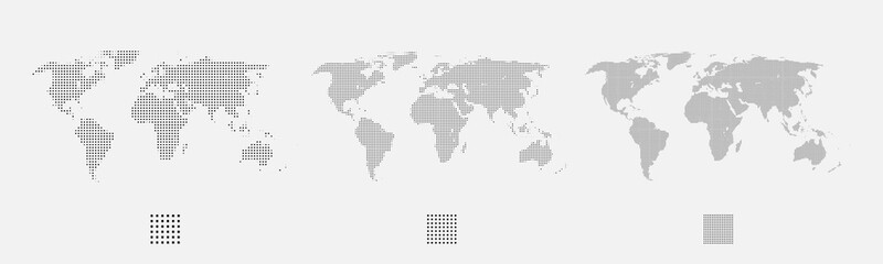 Set of dotted world maps in different resolutionfavorite_border favorite
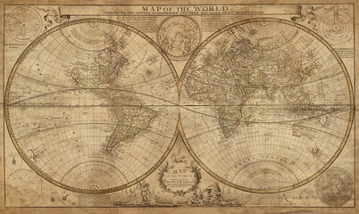 Old geographical map of the world of the 18 century. Collage. A good background for design on the theme of travel, geography, history, voyage, etc. Ancient map background.favorite_border favorite
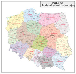 Polen Administrativfavorite_border favorite
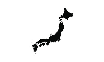 japan vector map in solid stylefavorite_border favorite
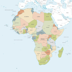 Vector map of Africa Continentfavorite_border favorite
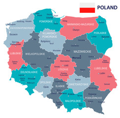 Poland - map and flag illustrationfavorite_border favorite
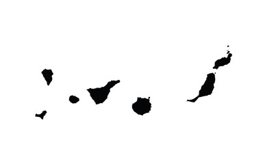 Canary Islands map country vector illustrationfavorite_border favorite
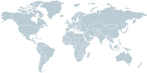 Modern World Map Designfavorite_border favorite
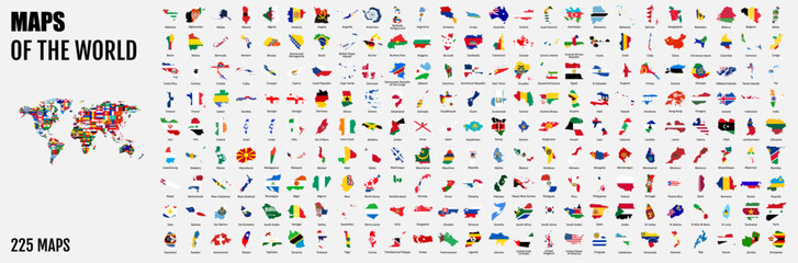 All 225 Complete Countries Map of the World Perfect Icons . A complete maps of the world. Every single country map are listed and isolated with names.favorite_border favorite
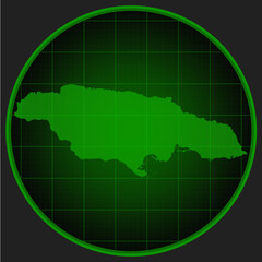 Vector map of Jamaica on the radar green screenfavorite_border favorite
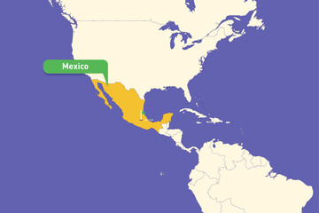 Highlighted infographic map illustration of Mexico, ideal for education, travel guides, and geography presentations.favorite_border favorite
 Stylized simple outline map of Spain icon. Blue sketch map of Spain vector illustrationfavorite_border favorite
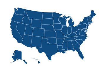 USA modern map with federal states in blue color isolated on white background vector illustration eps 10favorite_border favorite
 world map political boundariesfavorite_border favorite
 Simplified schematic map of World. Political map of countries with generalized borders. Simple flat vector illustrationfavorite_border favorite
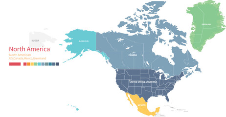 Colorful detailed vector map of the north American country.favorite_border favorite
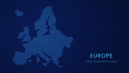 Europe dotted digital map for data visualization designfavorite_border favorite
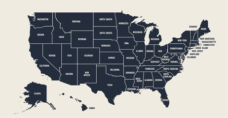 USA Map. Poster map of United States of America. Print of USA with name states, poster or geographic, political theme. Infographic graphic design print map of USA states. Vector Illustrationfavorite_border favorite
 Fiery abstract texture with intense red yellow and blue highlights resembling liquid lava or thermal heat map.favorite_border favorite
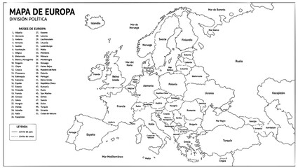 Detailed political map of the European continent featuring clearly defined national borders and country names written in Spanish language printed as a black line on transparent backgroundfavorite_border favorite
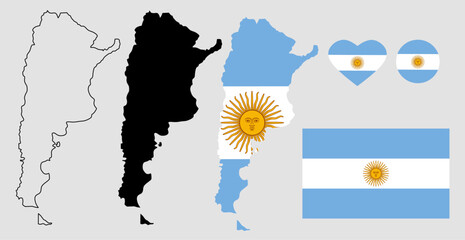 argentina map flag icon setfavorite_border favorite
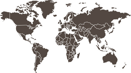 Clean World Map Outline with Bordersfavorite_border favorite
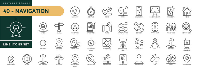 Navigation icons set with editable stroke, including location, navigation, direction, compass, map pin, route planner, geolocation. Thin linear vector illustration.favorite_border favorite
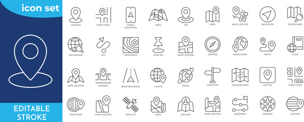 Maps icon set. Editable stroke. Containing maps, location, GPS, navigation, city map, atlas, route, direction, pin and more. Outline Icon Collection.favorite_border favorite
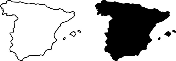 Spain country border map outline and silhouette vector graphic isolated image decalfavorite_border favorite
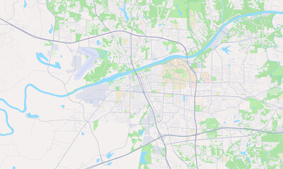 Tuscaloosa Alabama mapfavorite_border favorite
 Flat icon set of location and map pinsfavorite_border favorite
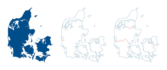 Denmark map vector. High detailed vector outline, blue silhouette and administrative divisions map of Denmark. All isolated on white background. Template for website, design, cover, infographicsfavorite_border favorite
 Connected European map concept – European Union, trade, digitalization, futurefavorite_border favorite
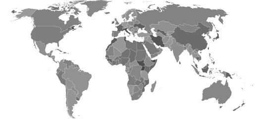 Flat earth world map with outline borders. Modern digital globe. Grey land on white background. Political map. Worldmap template for website, infographics, design.favorite_border favorite
 Detailed World Map with All Country Borders and Black Outlinesfavorite_border favorite
 City map of Bordeaux Centre, Francefavorite_border favorite
 world map silhouette design vector art illustration isolated on transparent background.favorite_border favorite
 Vector Linear World Map, editable stroke. vector illustration isolated on white background.favorite_border favorite
 Location icon set with map, pin, navigation, distance, direction and address symbols in solid vector style.favorite_border favorite
 World Map with Country Bordersfavorite_border favorite
 マップ・地図で使えるマップピン・押しピンアイコンイラスト影付きfavorite_border favorite
 Vintage physical world map with rivers and mountains vector illustrationfavorite_border favorite
 Mexico Map Silhouettefavorite_border favorite
 Krakow mapa Cracow Poland vector map Old town planfavorite_border favorite
 Cute hand drawn map with mountains, tents, trees, hills. 3d illustrated landscape, adventure - great for banners, wallpapers, cards.favorite_border favorite
 AI artificial intelligence drives data analytics with predictive models, smart dashboards, and virtual assistant insights for data-driven business decisions.favorite_border favorite
 World map isolated on white background. for website layouts, background, education, precise, customizable, Travel worldwide, map silhouette backdrop, earth geography, political, reports.favorite_border favorite
 A detailed political map of the United States of America with an abbreviated names of states2. Vector flat clipart.favorite_border favorite
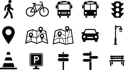 Transportation navigation icons set featuring pedestrian bicycle bus car traffic signs parking map location symbols solid vector illustration collectionfavorite_border favorite
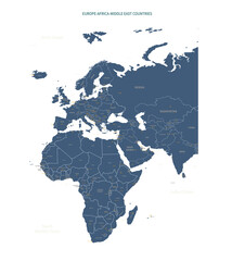 A detailed map of Europe-Africa. Europe-Africa map vector with country and capital name.favorite_border favorite
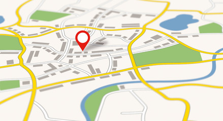 A generic city map with a pinfavorite_border favorite
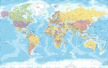 World Map - Political - Vector Detailed Illustrationfavorite_border favorite
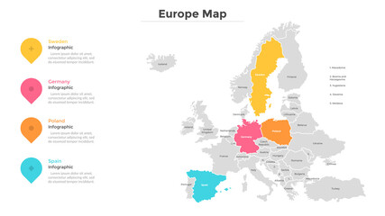 Modern Infographic Templatefavorite_border favorite