-
USA map – vector illustration of states and political boundaries
Do ulubionych favorite_border
Usuń z ulubionych favorite
-
Wektorowa mapa województw w Polsce - KOLOR
Do ulubionych favorite_border
Usuń z ulubionych favorite
-
Map of Dotted Europe. Vector eps10.
Do ulubionych favorite_border
Usuń z ulubionych favorite
-
World globe line icon. Vector Earth global country map planet line icon. Travel internet globe set
Do ulubionych favorite_border
Usuń z ulubionych favorite
-
Territory of Qatar. Planet Earth. The Earth, World Map on white background. Vector illustration. EPS 10
Do ulubionych favorite_border
Usuń z ulubionych favorite
-
Navigation, location, GPS elements - thin line web icon set. Outline icons collection. Simple vector illustration.
Do ulubionych favorite_border
Usuń z ulubionych favorite
-
Color world map with the names of countries and national flags. Political map. Every country is isolated.
Do ulubionych favorite_border
Usuń z ulubionych favorite
-
Brunei political map of administrative divisions
Do ulubionych favorite_border
Usuń z ulubionych favorite
-
Modern Infographic Template
Do ulubionych favorite_border
Usuń z ulubionych favorite
-
Red map pointer on city map isolated PNG, location pin icon for navigation and travel planning on transparent background
Do ulubionych favorite_border
Usuń z ulubionych favorite
-
Poland provinces(known as voivodeships) vector map with administrative divisions. Polish names gives in parentheses, where they differ from the English ones.
Do ulubionych favorite_border
Usuń z ulubionych favorite
-
asia map. detailed vector map of asian countries.
Do ulubionych favorite_border
Usuń z ulubionych favorite
-
Square shape dotted world map with halftone pixel style continents and countries. Vector world map with square dot shape pattern. Digital world map square shape pattern infographic world atlas design
Do ulubionych favorite_border
Usuń z ulubionych favorite
-
Do ulubionych favorite_border
Usuń z ulubionych favorite
-
Puerto Rico black map on white background vector
Do ulubionych favorite_border
Usuń z ulubionych favorite
-
Blue location 3d icon marker or route gps position navigator sign and travel navigation pin road map pointer symbol isolated on white street address background with point direction discovery tracking.
Do ulubionych favorite_border
Usuń z ulubionych favorite
-
Compass, rope and glasses
Do ulubionych favorite_border
Usuń z ulubionych favorite
-
Do ulubionych favorite_border
Usuń z ulubionych favorite
-
Vintage Illustrated World Map
Do ulubionych favorite_border
Usuń z ulubionych favorite
-
Portugal vector map with Azores and Madeira. isolated geographic template of european country
Do ulubionych favorite_border
Usuń z ulubionych favorite
-
Colorful Vector map of Europe
Do ulubionych favorite_border
Usuń z ulubionych favorite
-
Do ulubionych favorite_border
Usuń z ulubionych favorite
-
Selective focus of Red pin on map background
Do ulubionych favorite_border
Usuń z ulubionych favorite
-
vector map flag of Israel isolated on white background
Do ulubionych favorite_border
Usuń z ulubionych favorite
-
Urban city map of Warsaw, Poland
Do ulubionych favorite_border
Usuń z ulubionych favorite
-
world map on grunge background
Do ulubionych favorite_border
Usuń z ulubionych favorite
-
Animals world landmarks map for kid. World vector poster for children, cute illustrated. Cartoon globe with animals. Oceans and continent: South America, Eurasia, North America, Africa, Australia
Do ulubionych favorite_border
Usuń z ulubionych favorite
-
Person navigating outdoors using map and compass
Do ulubionych favorite_border
Usuń z ulubionych favorite
-
Do ulubionych favorite_border
Usuń z ulubionych favorite
-
Physical map of the World with outlines - detailed topography in geographic coordinate system
Do ulubionych favorite_border
Usuń z ulubionych favorite
-
Do ulubionych favorite_border
Usuń z ulubionych favorite
-
Do ulubionych favorite_border
Usuń z ulubionych favorite
-
Vector world map with rounds, spots, dots for business templates
Do ulubionych favorite_border
Usuń z ulubionych favorite
-
Dynamic digital world map emphasize Western Europe continental for AI powered global network connectivity big data transfer cyber technology network information exchange and telecommunication concept.
Do ulubionych favorite_border
Usuń z ulubionych favorite
-
Vector map of Australia . High detailed map with division, cities and capital Canberra. Political map, world map, infographic elements.
Do ulubionych favorite_border
Usuń z ulubionych favorite
-
england uk united kingdom map silhouette
Do ulubionych favorite_border
Usuń z ulubionych favorite
-
World Map Political - vector illustration. Highly detailed map of the world: countries, cities, water objects
Do ulubionych favorite_border
Usuń z ulubionych favorite
-
Map of the world made of gray dots. Dotted silhouette, outline and surface of the Earth under Robinson projection. Dots in a row. Isolated illustration on white background. Vector.
Do ulubionych favorite_border
Usuń z ulubionych favorite
-
Travelers explore the mountainous forest map.
Do ulubionych favorite_border
Usuń z ulubionych favorite
-
Eritrea political map of administrative divisions
Do ulubionych favorite_border
Usuń z ulubionych favorite
-
Poznan map. Detailed map of Poznan city poster with streets. Cityscape vector.
Do ulubionych favorite_border
Usuń z ulubionych favorite
-
Navigating with map and compass
Do ulubionych favorite_border
Usuń z ulubionych favorite
-
Mapa do Brasil e regiões com contorno vazado
Do ulubionych favorite_border
Usuń z ulubionych favorite
-
4 vector political maps of France with regions on white background
Do ulubionych favorite_border
Usuń z ulubionych favorite
-
Urban vector city map of Szczecin, Poland
Do ulubionych favorite_border
Usuń z ulubionych favorite
-
Futuristic route dashboard
Do ulubionych favorite_border
Usuń z ulubionych favorite
-
Map of Europe set with division of country, European Union
Do ulubionych favorite_border
Usuń z ulubionych favorite
-
Do ulubionych favorite_border
Usuń z ulubionych favorite
-
Sweden map silhouette line country Europe map illustration vector outline European isolated on white background
Do ulubionych favorite_border
Usuń z ulubionych favorite
-
Detailed, vector, blue map of Czech Republic with administrative divisions into regions country
Do ulubionych favorite_border
Usuń z ulubionych favorite
-
Set of Location pin icons. Modern map markers. Location mark icons. Map Marker Illustration. Destination Symbol. Pointer Logo. Vector illustration
Do ulubionych favorite_border
Usuń z ulubionych favorite
-
Detailed map of the United Kingdom for travel guides, geography lessons, and historical presentations
Do ulubionych favorite_border
Usuń z ulubionych favorite
-
Set of s political maps of India with regions isolated on white
Do ulubionych favorite_border
Usuń z ulubionych favorite
-
Сity map New York, color detailed urban road plan, vector illustration
Do ulubionych favorite_border
Usuń z ulubionych favorite
-
Vector map of France. Country map with division, cities and capital Paris. Political map, world map, infographic elements.
Do ulubionych favorite_border
Usuń z ulubionych favorite
-
National flags of the countries. Vector illustration on white background
Do ulubionych favorite_border
Usuń z ulubionych favorite
-
Area map of Gdańsk, Poland
Do ulubionych favorite_border
Usuń z ulubionych favorite
-
world map - Colourful Illustration in pastel blues and greens, showing country names, State names (USA & Australia), capital cities, major lakes and oceans. Print at no less than 36". Jpeg image
Do ulubionych favorite_border
Usuń z ulubionych favorite
-
set of colorful flags, round pins and map pointers
Do ulubionych favorite_border
Usuń z ulubionych favorite
-
3D rendering of world map
Do ulubionych favorite_border
Usuń z ulubionych favorite
-
Blank map Catalonia of Spain. High quality map Comarcas of Catalonia on transparent background for your web site design, logo, app, UI. Spain. EPS10.
Do ulubionych favorite_border
Usuń z ulubionych favorite
-
Black halftone circled dotted blue world map. Vector illustration. Dotted map in flat design. Vector illustration isolated on white background
Do ulubionych favorite_border
Usuń z ulubionych favorite
-
Map and navigation icon set. Containing location, navigation, direction, GPS, flag, destination, route, road and more. Vector outline icons collection.
Do ulubionych favorite_border
Usuń z ulubionych favorite
-
vector illustration of gray colored world map
Do ulubionych favorite_border
Usuń z ulubionych favorite
-
Blank outline map of World. Worksheet for geography teachers usable as geographical test in school lessons.
Do ulubionych favorite_border
Usuń z ulubionych favorite
-
Map pointers icon set. Location pin collection. Map pointer GPS location. Pointer icon pin on the map to show the location. Vector illustration
Do ulubionych favorite_border
Usuń z ulubionych favorite
-
World map. Flat Earth worldmap with continent silhouettes
Do ulubionych favorite_border
Usuń z ulubionych favorite
-
universal collection flag in world
Do ulubionych favorite_border
Usuń z ulubionych favorite
-
Global network connection. World map point and line composition concept of global business. Vector Illustration
Do ulubionych favorite_border
Usuń z ulubionych favorite
-
Do ulubionych favorite_border
Usuń z ulubionych favorite
-
Aged parchment map with compass and ship rose
Do ulubionych favorite_border
Usuń z ulubionych favorite
-
European Union member states after Brexit, political map. The 27 EU member states, after United Kingdom left in 2020. Special member state territories are not included in the map. Illustration. Vector
Do ulubionych favorite_border
Usuń z ulubionych favorite
-
similar world map blank for infographic
Do ulubionych favorite_border
Usuń z ulubionych favorite
-
City map London England, travel poster detailed urban street plan, vector illustration
Do ulubionych favorite_border
Usuń z ulubionych favorite
-
Vector map of Spain. High detailed country map with division, cities and capital Madrid. Political map, world map, infographic elements.
Do ulubionych favorite_border
Usuń z ulubionych favorite
-
City Map Kabul Afghanistan Asia vector illustration
Do ulubionych favorite_border
Usuń z ulubionych favorite
-
South East Asia map with regions, countries. Indonesia, Vietnam, Thailand, Philippines, Malaysia maps. Outline South East Asia map isolated on white background. Vector illustration
Do ulubionych favorite_border
Usuń z ulubionych favorite
-
Weltkarte - einzelne Länder in Farbe (hoher Detailgrad)
Do ulubionych favorite_border
Usuń z ulubionych favorite
-
Vector city map of Austin, Texas.
Do ulubionych favorite_border
Usuń z ulubionych favorite
-
Spain map vector illustration on white background. Map have all province and mark the capital city of Spain.
Do ulubionych favorite_border
Usuń z ulubionych favorite
-
Detailed map of United States of America. Vector template for infographics. Editable stroke.
Do ulubionych favorite_border
Usuń z ulubionych favorite
-
Camping map creator. Set of flat cartoon elements for constructing summer camp activity. Vector nature clip art with mountains, waterfall, trees, forest animals for hiking or campfire plan. .
Do ulubionych favorite_border
Usuń z ulubionych favorite
-
Do ulubionych favorite_border
Usuń z ulubionych favorite
-
set of 4 political maps of Australia with regions isolated on white background
Do ulubionych favorite_border
Usuń z ulubionych favorite
-
La Habana, Cuba - outlined. Satellite
Do ulubionych favorite_border
Usuń z ulubionych favorite
-
City map navigation. GPS navigator. Point marker icon. Top view, view from above. Abstract background. Cute simple design. Flat style vector illustration.
Do ulubionych favorite_border
Usuń z ulubionych favorite
-
Do ulubionych favorite_border
Usuń z ulubionych favorite
-
Map with gps pointers for park and shop, hospital
Do ulubionych favorite_border
Usuń z ulubionych favorite
-
mapa polski wektor uproszczona
Do ulubionych favorite_border
Usuń z ulubionych favorite
-
United Kingdom map outlines featuring a vector illustration in black and white perfect for geographic designs and infographics EPS vector
Do ulubionych favorite_border
Usuń z ulubionych favorite
-
World map. Highly detailed map of the world with detailed borders of all countries, cities, regions and bodies of water in blue tones.
Do ulubionych favorite_border
Usuń z ulubionych favorite
-
Lodz map. Detailed map of Lodz city poster with streets, water.
Do ulubionych favorite_border
Usuń z ulubionych favorite
-
World Map Outline Contour Silhouette Borders - Asia in Center
Do ulubionych favorite_border
Usuń z ulubionych favorite
-
Poster map of United States of America with state names. Black and white print map of USA for t-shirt, poster or geographic themes. Hand-drawn black map with states. Vector Illustration
Do ulubionych favorite_border
Usuń z ulubionych favorite
-
Poland vector map with infographic elements, pointer marks.
Do ulubionych favorite_border
Usuń z ulubionych favorite
-
Set of flat earth world maps with dots in different resolution. Round pixel pattern. Modern digital globe. Black dots on white background. Worldmap template for website, infographics, design.
Do ulubionych favorite_border
Usuń z ulubionych favorite
-
Detailed map of the world with the borders and flags of states on a blue background
Do ulubionych favorite_border
Usuń z ulubionych favorite
-
Abstract of poland map network, internet and global connection concept, Wire Frame 3D mesh polygonal network line, design sphere, dot and structure. Vector illustration eps 10.
Do ulubionych favorite_border
Usuń z ulubionych favorite
-
Urban vector city map of Krakow, Poland
Do ulubionych favorite_border
Usuń z ulubionych favorite
-
XXL size physical world map illustration. Primary source, elements of this image furnished by NASA. Extra large big map with highest detail avalable. 350 Mega Pixels resolution.
Do ulubionych favorite_border
Usuń z ulubionych favorite
 USA map – vector illustration of states and political boundariesfavorite_border favorite
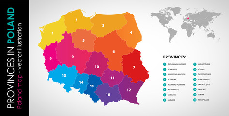 Wektorowa mapa województw w Polsce - KOLORfavorite_border favorite
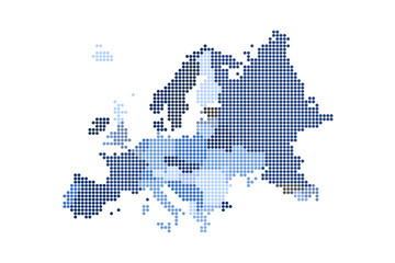 Map of Dotted Europe. Vector eps10.favorite_border favorite
 World globe line icon. Vector Earth global country map planet line icon. Travel internet globe setfavorite_border favorite
 Territory of Qatar. Planet Earth. The Earth, World Map on white background. Vector illustration. EPS 10favorite_border favorite
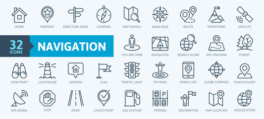 Navigation, location, GPS elements - thin line web icon set. Outline icons collection. Simple vector illustration.favorite_border favorite
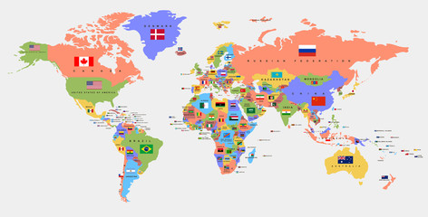 Color world map with the names of countries and national flags. Political map. Every country is isolated.favorite_border favorite
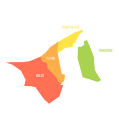 Brunei political map of administrative divisionsfavorite_border favorite
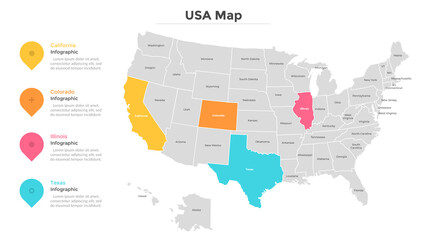 Modern Infographic Templatefavorite_border favorite
 Red map pointer on city map isolated PNG, location pin icon for navigation and travel planning on transparent backgroundfavorite_border favorite
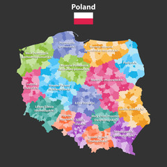 Poland provinces(known as voivodeships) vector map with administrative divisions. Polish names gives in parentheses, where they differ from the English ones.favorite_border favorite
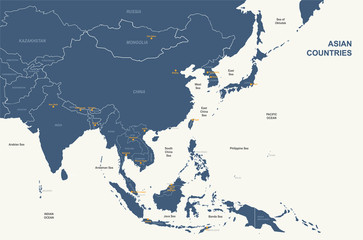 asia map. detailed vector map of asian countries.favorite_border favorite
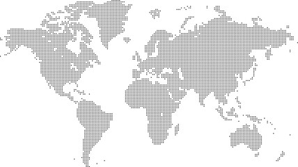 Square shape dotted world map with halftone pixel style continents and countries. Vector world map with square dot shape pattern. Digital world map square shape pattern infographic world atlas designfavorite_border favorite
 old mapfavorite_border favorite
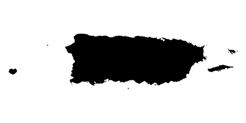 Puerto Rico black map on white background vectorfavorite_border favorite
 Blue location 3d icon marker or route gps position navigator sign and travel navigation pin road map pointer symbol isolated on white street address background with point direction discovery tracking.favorite_border favorite
 Compass, rope and glassesfavorite_border favorite
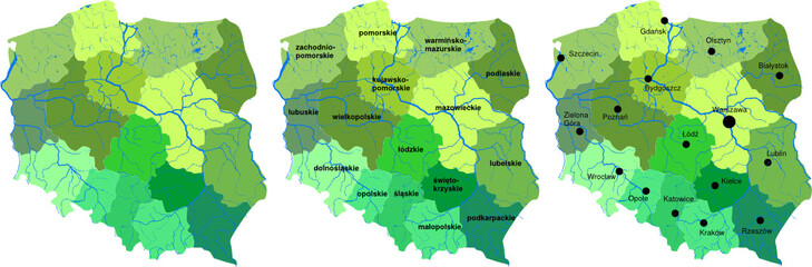 Mapa Polskifavorite_border favorite
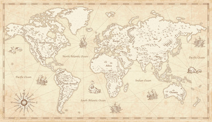 Vintage Illustrated World Mapfavorite_border favorite
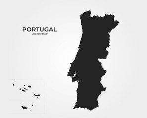 Portugal vector map with Azores and Madeira. isolated geographic template of european countryfavorite_border favorite
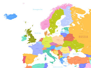 Colorful Vector map of Europefavorite_border favorite
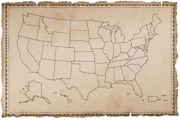 Stara mapa USAfavorite_border favorite
 Selective focus of Red pin on map backgroundfavorite_border favorite
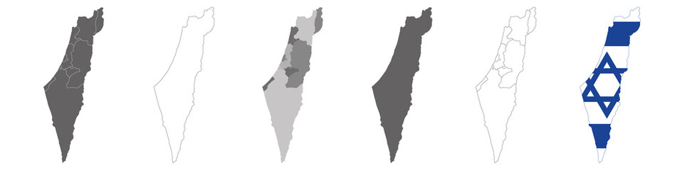 vector map flag of Israel isolated on white backgroundfavorite_border favorite
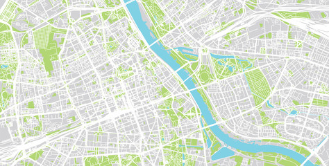 Urban city map of Warsaw, Polandfavorite_border favorite
 world map on grunge backgroundfavorite_border favorite
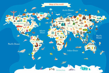 Animals world landmarks map for kid. World vector poster for children, cute illustrated. Cartoon globe with animals. Oceans and continent: South America, Eurasia, North America, Africa, Australiafavorite_border favorite
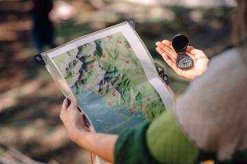 Person navigating outdoors using map and compassfavorite_border favorite
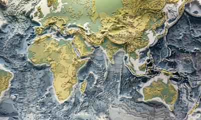 World relief 3d modelfavorite_border favorite
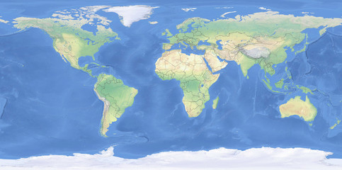 Physical map of the World with outlines - detailed topography in geographic coordinate systemfavorite_border favorite
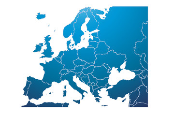 Mapa azul de Europa.favorite_border favorite
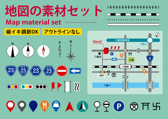 編集可能な地図や案内図の素材セットfavorite_border favorite
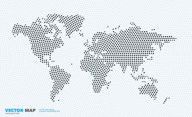 Vector world map with rounds, spots, dots for business templatesfavorite_border favorite
 Dynamic digital world map emphasize Western Europe continental for AI powered global network connectivity big data transfer cyber technology network information exchange and telecommunication concept.favorite_border favorite
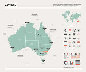 Vector map of Australia . High detailed map with division, cities and capital Canberra. Political map, world map, infographic elements.favorite_border favorite
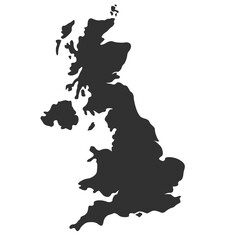 england uk united kingdom map silhouettefavorite_border favorite
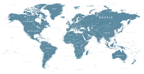 World Map Political - vector illustration. Highly detailed map of the world: countries, cities, water objectsfavorite_border favorite
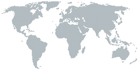 Map of the world made of gray dots. Dotted silhouette, outline and surface of the Earth under Robinson projection. Dots in a row. Isolated illustration on white background. Vector.favorite_border favorite
 Travelers explore the mountainous forest map.favorite_border favorite
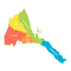 Eritrea political map of administrative divisionsfavorite_border favorite
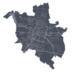 Poznan map. Detailed map of Poznan city poster with streets. Cityscape vector.favorite_border favorite
 Navigating with map and compassfavorite_border favorite
 Mapa do Brasil e regiões com contorno vazadofavorite_border favorite
 4 vector political maps of France with regions on white backgroundfavorite_border favorite
 Urban vector city map of Szczecin, Polandfavorite_border favorite
 Futuristic route dashboardfavorite_border favorite
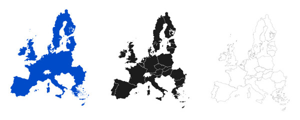 Map of Europe set with division of country, European Unionfavorite_border favorite
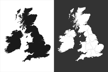 united kingdom mapfavorite_border favorite
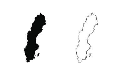 Sweden map silhouette line country Europe map illustration vector outline European isolated on white backgroundfavorite_border favorite
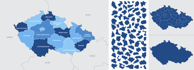 Detailed, vector, blue map of Czech Republic with administrative divisions into regions countryfavorite_border favorite
 Set of Location pin icons. Modern map markers. Location mark icons. Map Marker Illustration. Destination Symbol. Pointer Logo. Vector illustrationfavorite_border favorite
 Detailed map of the United Kingdom for travel guides, geography lessons, and historical presentationsfavorite_border favorite
 Set of s political maps of India with regions isolated on whitefavorite_border favorite
 Сity map New York, color detailed urban road plan, vector illustrationfavorite_border favorite
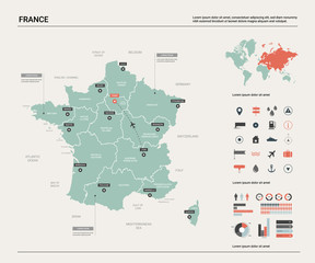 Vector map of France. Country map with division, cities and capital Paris. Political map, world map, infographic elements.favorite_border favorite
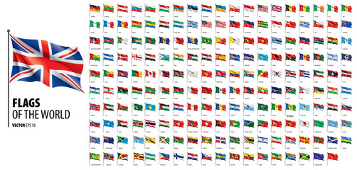 National flags of the countries. Vector illustration on white backgroundfavorite_border favorite
 Area map of Gdańsk, Polandfavorite_border favorite
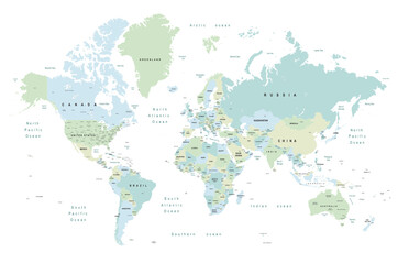 world map - Colourful Illustration in pastel blues and greens, showing country names, State names (USA & Australia), capital cities, major lakes and oceans. Print at no less than 36". Jpeg imagefavorite_border favorite
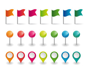 set of colorful flags, round pins and map pointersfavorite_border favorite
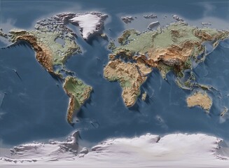 3D rendering of world mapfavorite_border favorite
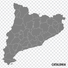 Blank map Catalonia of Spain. High quality map Comarcas of Catalonia on transparent background for your web site design, logo, app, UI. Spain. EPS10.favorite_border favorite
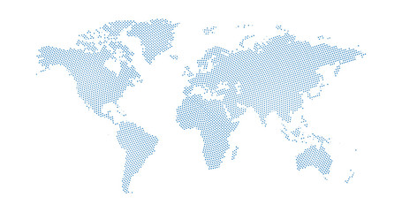 Black halftone circled dotted blue world map. Vector illustration. Dotted map in flat design. Vector illustration isolated on white backgroundfavorite_border favorite
 Map and navigation icon set. Containing location, navigation, direction, GPS, flag, destination, route, road and more. Vector outline icons collection.favorite_border favorite
 vector illustration of gray colored world mapfavorite_border favorite
 Blank outline map of World. Worksheet for geography teachers usable as geographical test in school lessons.favorite_border favorite
 Map pointers icon set. Location pin collection. Map pointer GPS location. Pointer icon pin on the map to show the location. Vector illustrationfavorite_border favorite
 World map. Flat Earth worldmap with continent silhouettesfavorite_border favorite
 universal collection flag in worldfavorite_border favorite
 Global network connection. World map point and line composition concept of global business. Vector Illustrationfavorite_border favorite
 France mapfavorite_border favorite
 Aged parchment map with compass and ship rosefavorite_border favorite
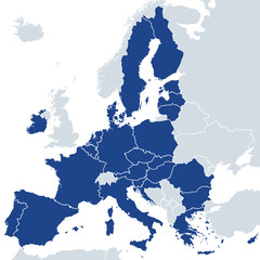 European Union member states after Brexit, political map. The 27 EU member states, after United Kingdom left in 2020. Special member state territories are not included in the map. Illustration. Vectorfavorite_border favorite
 similar world map blank for infographicfavorite_border favorite
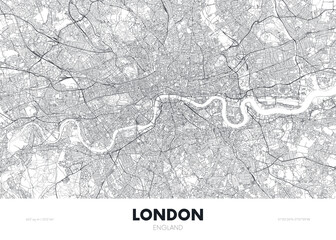 City map London England, travel poster detailed urban street plan, vector illustrationfavorite_border favorite
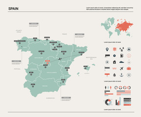 Vector map of Spain. High detailed country map with division, cities and capital Madrid. Political map, world map, infographic elements.favorite_border favorite
 City Map Kabul Afghanistan Asia vector illustrationfavorite_border favorite
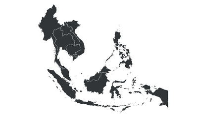 South East Asia map with regions, countries. Indonesia, Vietnam, Thailand, Philippines, Malaysia maps. Outline South East Asia map isolated on white background. Vector illustrationfavorite_border favorite
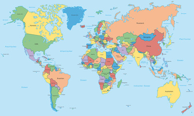 Weltkarte - einzelne Länder in Farbe (hoher Detailgrad)favorite_border favorite
 Vector city map of Austin, Texas.favorite_border favorite
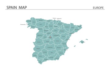 Spain map vector illustration on white background. Map have all province and mark the capital city of Spain.favorite_border favorite
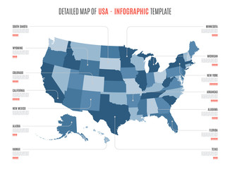 Detailed map of United States of America. Vector template for infographics. Editable stroke.favorite_border favorite
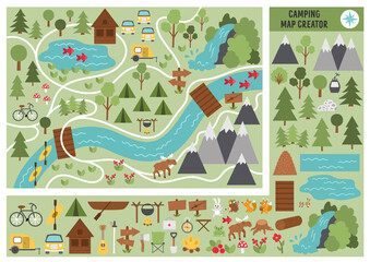 Camping map creator. Set of flat cartoon elements for constructing summer camp activity. Vector nature clip art with mountains, waterfall, trees, forest animals for hiking or campfire plan. .favorite_border favorite
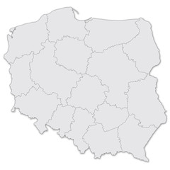 Map of Polandfavorite_border favorite
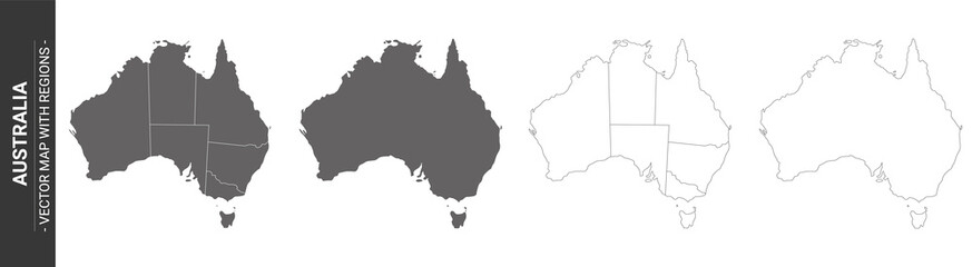 set of 4 political maps of Australia with regions isolated on white backgroundfavorite_border favorite
 La Habana, Cuba - outlined. Satellitefavorite_border favorite
 City map navigation. GPS navigator. Point marker icon. Top view, view from above. Abstract background. Cute simple design. Flat style vector illustration.favorite_border favorite
 World Mapfavorite_border favorite
 Map with gps pointers for park and shop, hospitalfavorite_border favorite
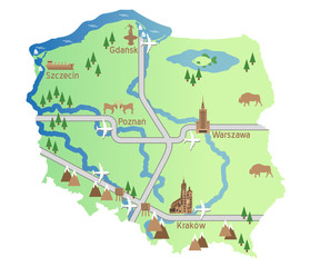 mapa polski wektor uproszczonafavorite_border favorite
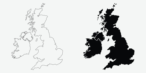 United Kingdom map outlines featuring a vector illustration in black and white perfect for geographic designs and infographics EPS vectorfavorite_border favorite
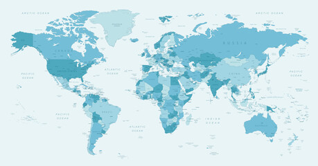 World map. Highly detailed map of the world with detailed borders of all countries, cities, regions and bodies of water in blue tones.favorite_border favorite
 Lodz map. Detailed map of Lodz city poster with streets, water.favorite_border favorite
 World Map Outline Contour Silhouette Borders - Asia in Centerfavorite_border favorite
 Poster map of United States of America with state names. Black and white print map of USA for t-shirt, poster or geographic themes. Hand-drawn black map with states. Vector Illustrationfavorite_border favorite
 Poland vector map with infographic elements, pointer marks.favorite_border favorite
 Set of flat earth world maps with dots in different resolution. Round pixel pattern. Modern digital globe. Black dots on white background. Worldmap template for website, infographics, design.favorite_border favorite
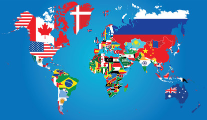 Detailed map of the world with the borders and flags of states on a blue backgroundfavorite_border favorite
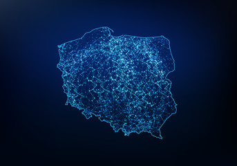 Abstract of poland map network, internet and global connection concept, Wire Frame 3D mesh polygonal network line, design sphere, dot and structure. Vector illustration eps 10.favorite_border favorite
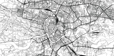 Urban vector city map of Krakow, Polandfavorite_border favorite
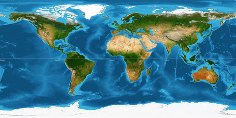 XXL size physical world map illustration. Primary source, elements of this image furnished by NASA. Extra large big map with highest detail avalable. 350 Mega Pixels resolution.favorite_border favorite