-
Simple gray vector map with white borders of districts of Wroclaw, Poland
Do ulubionych favorite_border
Usuń z ulubionych favorite
-
High detailed Europe map isolated on a white background. Europe background. Map of Europe. Vector illustration
Do ulubionych favorite_border
Usuń z ulubionych favorite
-
Old nautical map light template
Do ulubionych favorite_border
Usuń z ulubionych favorite
-
Washington (DC, USA) street map. The style of the map is blue lights
Do ulubionych favorite_border
Usuń z ulubionych favorite
-
六州で色分けされた世界地図、ロシアをアジア州として別色で表示、英語
Do ulubionych favorite_border
Usuń z ulubionych favorite
-
Weltkarte aus Punkten / Kreisen
Do ulubionych favorite_border
Usuń z ulubionych favorite
-
map of europe made out of wood vacation planning craft
Do ulubionych favorite_border
Usuń z ulubionych favorite
-
High detailed Multicolor Watercolor World Map Illustration with borders, oceans and countries on white Background, Side View.
Do ulubionych favorite_border
Usuń z ulubionych favorite
-
Simple (only sharp corners) map of Indonesia vector drawing.
Do ulubionych favorite_border
Usuń z ulubionych favorite
-
Do ulubionych favorite_border
Usuń z ulubionych favorite
-
vector map flag of Switzerland isolated on white background
Do ulubionych favorite_border
Usuń z ulubionych favorite
-
World map on blue background banner
Do ulubionych favorite_border
Usuń z ulubionych favorite
-
City map. Town streets. Downtown gps navigation plan. Abstract transportation scheme. Drawing scheme town, white line road on gray background. Urban pattern texture. Vector
Do ulubionych favorite_border
Usuń z ulubionych favorite
-
White and light grey Wrocław city area vector background map, roads and water illustration. Widescreen proportion, digital flat design.
Do ulubionych favorite_border
Usuń z ulubionych favorite
-
Vector map of Brazil. High detailed country map with division, cities and capital Brasilia. Political map, world map, infographic elements.
Do ulubionych favorite_border
Usuń z ulubionych favorite
-
Folded location map with marker. City map with pin pointer. GPS navigation map with city street roads. Vector illustration.
Do ulubionych favorite_border
Usuń z ulubionych favorite
-
US Map Black USA Border United States Country America Transparent Isolated Variations
Do ulubionych favorite_border
Usuń z ulubionych favorite
-
Do ulubionych favorite_border
Usuń z ulubionych favorite
-
3d Spain white map on grey
Do ulubionych favorite_border
Usuń z ulubionych favorite
-
Do ulubionych favorite_border
Usuń z ulubionych favorite
-
Do ulubionych favorite_border
Usuń z ulubionych favorite
-
Set of flat earth world maps with round dots in different resolution. Round pixel pattern. Modern digital globe. Black dots on white background. Worldmap template for website, infographics, design.
Do ulubionych favorite_border
Usuń z ulubionych favorite
-
Colombia Map Set - Vector Solid, Contour, Regions, Flag, Pixels
Do ulubionych favorite_border
Usuń z ulubionych favorite
-
Single red pushpin marking a location on an open map
Do ulubionych favorite_border
Usuń z ulubionych favorite
-
Poland Map 3d. National map 3D rendering set in Europe continent.
Do ulubionych favorite_border
Usuń z ulubionych favorite
-
Selective focus of Red pin on map background
Do ulubionych favorite_border
Usuń z ulubionych favorite
-
world map made of wood crafts for planning a trip
Do ulubionych favorite_border
Usuń z ulubionych favorite
-
Flat location icon set vector with GPS pin, map and navigation symbols for travel apps and geolocation.
Do ulubionych favorite_border
Usuń z ulubionych favorite
-
Main regions of Asia. Political map with single countries. Colored subregions of the Asian continent. Central, East, North, South, Southeast and Western Asia. English labeled. Illustration. Vector.
Do ulubionych favorite_border
Usuń z ulubionych favorite
-
Printable street map of Austin, Texas
Do ulubionych favorite_border
Usuń z ulubionych favorite
-
Abstract vector topographic map in green colors
Do ulubionych favorite_border
Usuń z ulubionych favorite
-
location pin map sign, location mark icon pack, 50 set
Do ulubionych favorite_border
Usuń z ulubionych favorite
-
United States Geo Map with Pin Positions
Do ulubionych favorite_border
Usuń z ulubionych favorite
-
Do ulubionych favorite_border
Usuń z ulubionych favorite
-
GPS map navigator concept. Street maps and directions. Vector illustration.
Do ulubionych favorite_border
Usuń z ulubionych favorite
-
Physical map of Scandinavia, Northern Europe. Flattened satellite view of Planet Earth, its geography and topography. 3D illustration - Elements of this image furnished by NASA
Do ulubionych favorite_border
Usuń z ulubionych favorite
-
Do ulubionych favorite_border
Usuń z ulubionych favorite
-
Do ulubionych favorite_border
Usuń z ulubionych favorite
-
map pin location icon logo design
Do ulubionych favorite_border
Usuń z ulubionych favorite
-
America with countries Map grey
Do ulubionych favorite_border
Usuń z ulubionych favorite
-
Miniature tourists in China. Color tone tuned.
Do ulubionych favorite_border
Usuń z ulubionych favorite
-
Do ulubionych favorite_border
Usuń z ulubionych favorite
-
Do ulubionych favorite_border
Usuń z ulubionych favorite
-
world map silhouette in grey isolated on white
Do ulubionych favorite_border
Usuń z ulubionych favorite
-
Old map collage background. A concept on the topic of sea voyages, discoveries, pirates, sailors, geography, travel and history. Pirate, travel and nautical background.
Do ulubionych favorite_border
Usuń z ulubionych favorite
-
Do ulubionych favorite_border
Usuń z ulubionych favorite
-
Vintage Europe map retro background. Based on image furnished from NASA.
Do ulubionych favorite_border
Usuń z ulubionych favorite
-
City map with some location tags
Do ulubionych favorite_border
Usuń z ulubionych favorite
-
Colorful detailed vector map of the Asian country.
Do ulubionych favorite_border
Usuń z ulubionych favorite
-
one color grey world map isolated on transparent background. World vector illustration
Do ulubionych favorite_border
Usuń z ulubionych favorite
-
Set of marker pointer on map. map vector illustration. Modern plan pin pointer roadmap. GPS navigation systems. Vector illustration
Do ulubionych favorite_border
Usuń z ulubionych favorite
-
country Poland and voivodeships
Do ulubionych favorite_border
Usuń z ulubionych favorite
-
Do ulubionych favorite_border
Usuń z ulubionych favorite
-
Blank outline map of Europe. Simplified wireframe map of black lined borders. EPS10 vector illustration.
Do ulubionych favorite_border
Usuń z ulubionych favorite
-
Vector abstract city map in perspective view
Do ulubionych favorite_border
Usuń z ulubionych favorite
-
3D rendered top view of city map with road building river 3D illustration
Do ulubionych favorite_border
Usuń z ulubionych favorite
-
City street map plan with river. Vector gray color illustration schema
Do ulubionych favorite_border
Usuń z ulubionych favorite
-
Do ulubionych favorite_border
Usuń z ulubionych favorite
-
Illustration and pictogram of gray hatched map of the world.
Do ulubionych favorite_border
Usuń z ulubionych favorite
-
City map navigation. GPS navigator. Distance. Point marker icon. Top view, view from above. Abstract background. Cute simple design. Flat style vector illustration.
Do ulubionych favorite_border
Usuń z ulubionych favorite
-
World map dotted illustration. Worldwide global map with dots. Isolated Earth atlas wallpaper.
Do ulubionych favorite_border
Usuń z ulubionych favorite
-
Colombia map with administrative divisions.
Do ulubionych favorite_border
Usuń z ulubionych favorite
-
Abstract world map on blue.
Do ulubionych favorite_border
Usuń z ulubionych favorite
-
Do ulubionych favorite_border
Usuń z ulubionych favorite
-
3D Realistic Location map pin gps pointer markers vector illustration for destination.
Do ulubionych favorite_border
Usuń z ulubionych favorite
-
Pin location icon for map and navigation
Do ulubionych favorite_border
Usuń z ulubionych favorite
-
Antarctica map and Compass old paper Over White Background, Elements of this image furnished by NASA (Satellite map of Antarctica)
Do ulubionych favorite_border
Usuń z ulubionych favorite
-
Location line editable icon set. Containing map, map pin, gps, destination, directions, distance, place, navigation, address, and more. Vector illustration. Editable stroke
Do ulubionych favorite_border
Usuń z ulubionych favorite
-
World map from points. Outline world map and continents with dots on white background.
Do ulubionych favorite_border
Usuń z ulubionych favorite
-
world map element infographic , infochart business information icon
Do ulubionych favorite_border
Usuń z ulubionych favorite
-
Lineo Editable Stroke - Navigation and Map line icons Vector Icons - Adjust stroke weight - Expand to any size - Change to any colour
Do ulubionych favorite_border
Usuń z ulubionych favorite
-
Kraków, Poland artistic blueprint map poster
Do ulubionych favorite_border
Usuń z ulubionych favorite
-
Ukraine 3d map with borders regions
Do ulubionych favorite_border
Usuń z ulubionych favorite
-
High resolution map of the USA with american flag. You can easily remove the shadows, or to fill in the map in a different color - clipping path included.
Do ulubionych favorite_border
Usuń z ulubionych favorite
-
Magnetic old compass on world map.Travel, geography, navigation, tourism and exploration concept background. Macro photo. Very shallow focus.
Do ulubionych favorite_border
Usuń z ulubionych favorite
-
Star constellations around the poles. Nothern and Southern high detailed star map with symbols and signs of zodiac. Astrological celestial map
Do ulubionych favorite_border
Usuń z ulubionych favorite
-
Outline map of the United States of America. 50 States of the USA. US map with state borders. Silhouette of the USA. Vector
Do ulubionych favorite_border
Usuń z ulubionych favorite
-
Netherlands black map on white background vector
Do ulubionych favorite_border
Usuń z ulubionych favorite
-
Outline World Map with Major Country Labels
Do ulubionych favorite_border
Usuń z ulubionych favorite
-
Navigation icon vector. Trip illustration sign. Location symbol. Pin logo.
Do ulubionych favorite_border
Usuń z ulubionych favorite
-
Do ulubionych favorite_border
Usuń z ulubionych favorite
-
Poland map blue white card paper 3D vector
Do ulubionych favorite_border
Usuń z ulubionych favorite
-
World map vector illustration. Landmarks, sight and animals hand draw icon. World vector poster for children, cute illustrated. Travel concept card
Do ulubionych favorite_border
Usuń z ulubionych favorite
-
Mobilna nawigacja GPS na tablecie.
Do ulubionych favorite_border
Usuń z ulubionych favorite
-
Europe political map sketch for coloring
Do ulubionych favorite_border
Usuń z ulubionych favorite
-
grey world map vector illustration
Do ulubionych favorite_border
Usuń z ulubionych favorite
-
High detailed Multicolor Watercolor World Map with borders.
Do ulubionych favorite_border
Usuń z ulubionych favorite
-
USA map 3d cinematographic
Do ulubionych favorite_border
Usuń z ulubionych favorite
-
Do ulubionych favorite_border
Usuń z ulubionych favorite
-
Set pin map marker pointer icon, GPS location flat symbol, arrows and flag signs – vector
Do ulubionych favorite_border
Usuń z ulubionych favorite
-
Location line icon set. Compass, travel, globe, map, geography, earth, distance, direction minimal vector illustration. Simple outline sign navigation app ui 30x30 Pixel Perfect Editable Stroke
Do ulubionych favorite_border
Usuń z ulubionych favorite
-
Vector line map of Poland. Vector design isolated on white background.
Do ulubionych favorite_border
Usuń z ulubionych favorite
-
Abstract paper cut shapes. Topographic map on white background. Topo map elevation lines. Contour vector abstract vector illustration. Geographic world topography.
Do ulubionych favorite_border
Usuń z ulubionych favorite
-
Hex Tile Poland map. Vector geographic scheme in light blue color with horizontal gradient on white and black backgrounds. Abstract Poland map mosaic is designed with honeycomb items.
Do ulubionych favorite_border
Usuń z ulubionych favorite
-
Vector color detailed map of Italy with administrative divisions of the country, each region is presented separately in-highly detailed and divided into provinces
Do ulubionych favorite_border
Usuń z ulubionych favorite
-
North Carolina vector map with county boundaries (Web Mercator projection, PPT-compatible & fully editable)
Do ulubionych favorite_border
Usuń z ulubionych favorite
-
Do ulubionych favorite_border
Usuń z ulubionych favorite
-
Europe from space at night with city lights showing European cities in Germany, France, Spain, Italy and United Kingdom (UK), global overview, 3d rendering of planet Earth, elements from NASA
Do ulubionych favorite_border
Usuń z ulubionych favorite
-
Abstract digital world map illustration created with square pixel grid patterns representing global internet communication, international data networks, and technology connection concepts.
Do ulubionych favorite_border
Usuń z ulubionych favorite
-
France country border map outline and silhouette vector graphic isolated image decal
Do ulubionych favorite_border
Usuń z ulubionych favorite
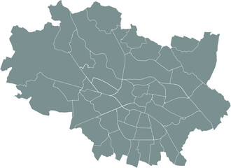 Simple gray vector map with white borders of districts of Wroclaw, Polandfavorite_border favorite
 High detailed Europe map isolated on a white background. Europe background. Map of Europe. Vector illustrationfavorite_border favorite
 Old nautical map light templatefavorite_border favorite
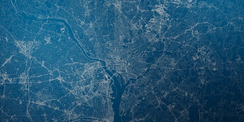 Washington (DC, USA) street map. The style of the map is blue lightsfavorite_border favorite
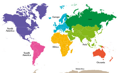 六州で色分けされた世界地図、ロシアをアジア州として別色で表示、英語favorite_border favorite
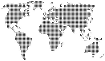 Weltkarte aus Punkten / Kreisenfavorite_border favorite
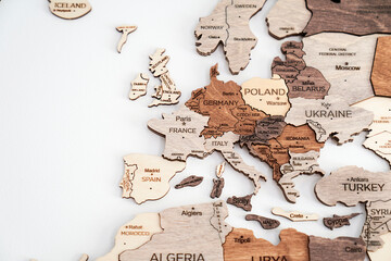 map of europe made out of wood vacation planning craftfavorite_border favorite
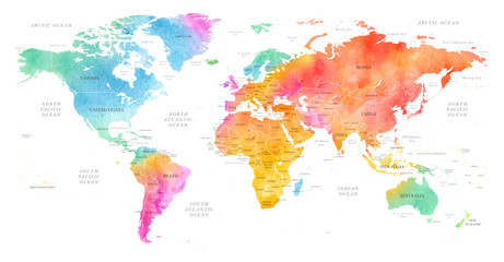 High detailed Multicolor Watercolor World Map Illustration with borders, oceans and countries on white Background, Side View.favorite_border favorite
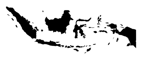 Simple (only sharp corners) map of Indonesia vector drawing.favorite_border favorite
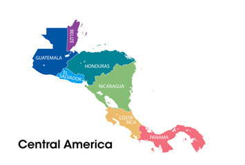 Central america mapfavorite_border favorite
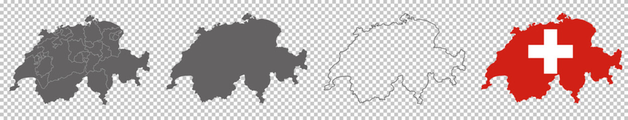 vector map flag of Switzerland isolated on white backgroundfavorite_border favorite
 World map on blue background bannerfavorite_border favorite
 City map. Town streets. Downtown gps navigation plan. Abstract transportation scheme. Drawing scheme town, white line road on gray background. Urban pattern texture. Vectorfavorite_border favorite
 White and light grey Wrocław city area vector background map, roads and water illustration. Widescreen proportion, digital flat design.favorite_border favorite
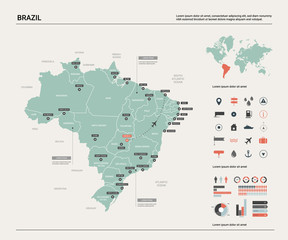 Vector map of Brazil. High detailed country map with division, cities and capital Brasilia. Political map, world map, infographic elements.favorite_border favorite
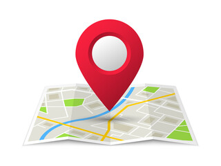 Folded location map with marker. City map with pin pointer. GPS navigation map with city street roads. Vector illustration.favorite_border favorite
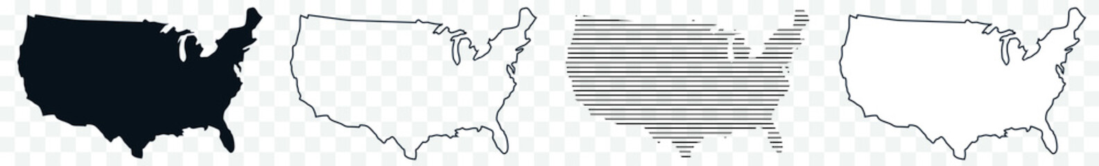 US Map Black USA Border United States Country America Transparent Isolated Variationsfavorite_border favorite
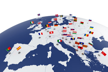 Europe mapfavorite_border favorite
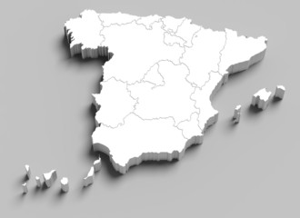 3d Spain white map on greyfavorite_border favorite
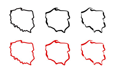 Mapa Polski - konturyfavorite_border favorite
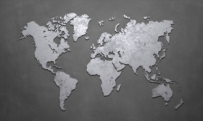 World Mapfavorite_border favorite
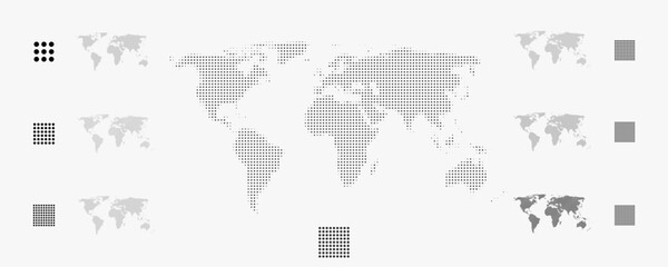 Set of flat earth world maps with round dots in different resolution. Round pixel pattern. Modern digital globe. Black dots on white background. Worldmap template for website, infographics, design.favorite_border favorite
 Colombia Map Set - Vector Solid, Contour, Regions, Flag, Pixelsfavorite_border favorite
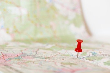 Single red pushpin marking a location on an open mapfavorite_border favorite
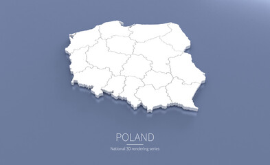 Poland Map 3d. National map 3D rendering set in Europe continent.favorite_border favorite
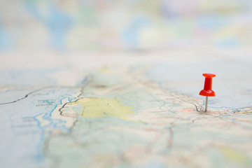 Selective focus of Red pin on map backgroundfavorite_border favorite
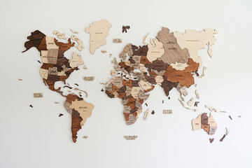 world map made of wood crafts for planning a tripfavorite_border favorite
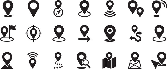 Flat location icon set vector with GPS pin, map and navigation symbols for travel apps and geolocation.favorite_border favorite
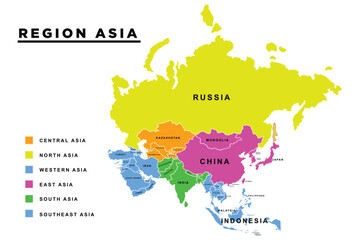 Main regions of Asia. Political map with single countries. Colored subregions of the Asian continent. Central, East, North, South, Southeast and Western Asia. English labeled. Illustration. Vector.favorite_border favorite
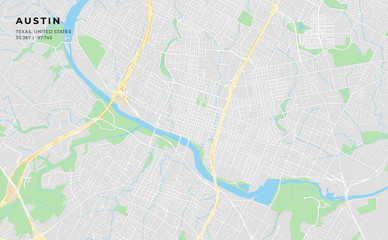 Printable street map of Austin, Texasfavorite_border favorite
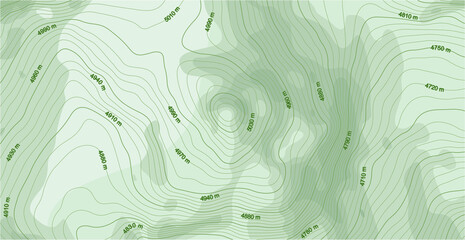 Abstract vector topographic map in green colorsfavorite_border favorite
 location pin map sign, location mark icon pack, 50 setfavorite_border favorite
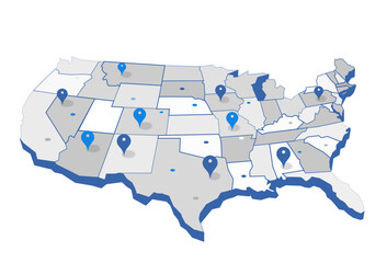 United States Geo Map with Pin Positionsfavorite_border favorite
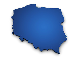 Map Of Poland 3d Shapefavorite_border favorite
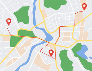 GPS map navigator concept. Street maps and directions. Vector illustration.favorite_border favorite
 Physical map of Scandinavia, Northern Europe. Flattened satellite view of Planet Earth, its geography and topography. 3D illustration - Elements of this image furnished by NASAfavorite_border favorite
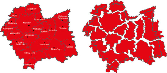 map Małopolskafavorite_border favorite
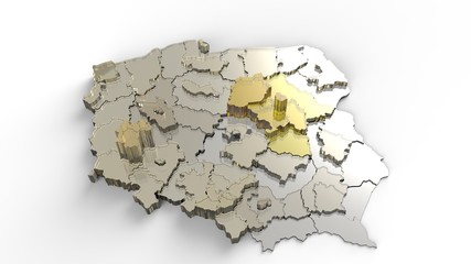 Countryfavorite_border favorite
 map pin location icon logo designfavorite_border favorite
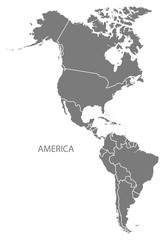 America with countries Map greyfavorite_border favorite
 Miniature tourists in China. Color tone tuned.favorite_border favorite
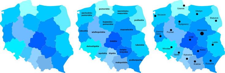 Polska mapafavorite_border favorite
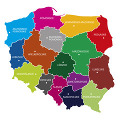 województwa, POLSKAfavorite_border favorite
 world map silhouette in grey isolated on whitefavorite_border favorite
 Old map collage background. A concept on the topic of sea voyages, discoveries, pirates, sailors, geography, travel and history. Pirate, travel and nautical background.favorite_border favorite
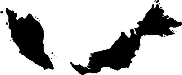 vector map of Malaysiafavorite_border favorite
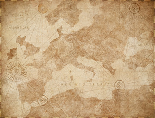 Vintage Europe map retro background. Based on image furnished from NASA.favorite_border favorite
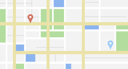 City map with some location tagsfavorite_border favorite
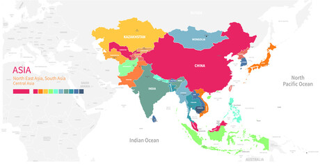 Colorful detailed vector map of the Asian country.favorite_border favorite
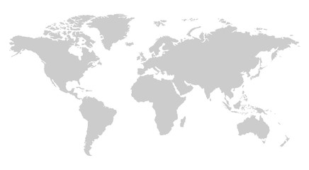 one color grey world map isolated on transparent background. World vector illustrationfavorite_border favorite
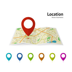 Set of marker pointer on map. map vector illustration. Modern plan pin pointer roadmap. GPS navigation systems. Vector illustrationfavorite_border favorite
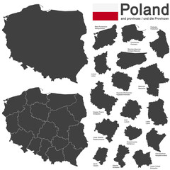 country Poland and voivodeshipsfavorite_border favorite
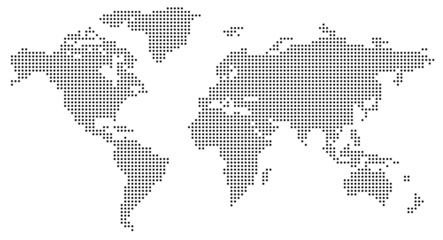 Dotted world mapfavorite_border favorite
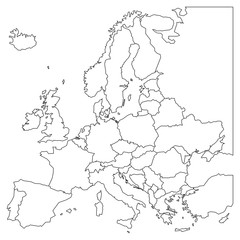 Blank outline map of Europe. Simplified wireframe map of black lined borders. EPS10 vector illustration.favorite_border favorite
 Vector abstract city map in perspective viewfavorite_border favorite
 3D rendered top view of city map with road building river 3D illustrationfavorite_border favorite
 City street map plan with river. Vector gray color illustration schemafavorite_border favorite
 街並みと人々のシンプルでフラットなイラストfavorite_border favorite
 Illustration and pictogram of gray hatched map of the world.favorite_border favorite
 City map navigation. GPS navigator. Distance. Point marker icon. Top view, view from above. Abstract background. Cute simple design. Flat style vector illustration.favorite_border favorite
 World map dotted illustration. Worldwide global map with dots. Isolated Earth atlas wallpaper.favorite_border favorite
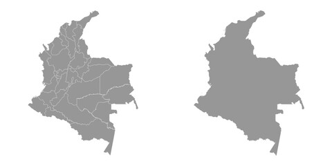 Colombia map with administrative divisions.favorite_border favorite
 Abstract world map on blue.favorite_border favorite
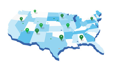 United States Geo Mapfavorite_border favorite
 3D Realistic Location map pin gps pointer markers vector illustration for destination.favorite_border favorite
 Pin location icon for map and navigationfavorite_border favorite
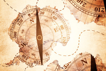 Antarctica map and Compass old paper Over White Background, Elements of this image furnished by NASA (Satellite map of Antarctica)favorite_border favorite
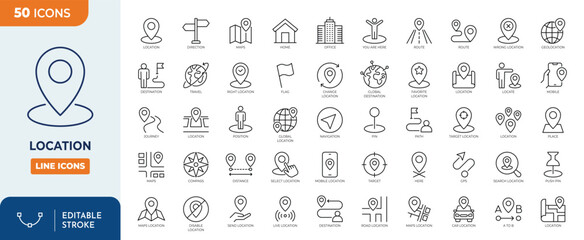 Location line editable icon set. Containing map, map pin, gps, destination, directions, distance, place, navigation, address, and more. Vector illustration. Editable strokefavorite_border favorite
 World map from points. Outline world map and continents with dots on white background.favorite_border favorite
 world map element infographic , infochart business information iconfavorite_border favorite
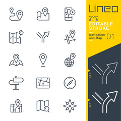 Lineo Editable Stroke - Navigation and Map line icons Vector Icons - Adjust stroke weight - Expand to any size - Change to any colourfavorite_border favorite
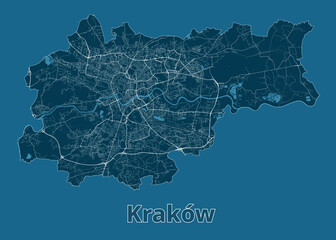 Kraków, Poland artistic blueprint map posterfavorite_border favorite
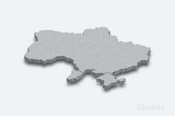 Ukraine 3d map with borders regionsfavorite_border favorite
 High resolution map of the USA with american flag. You can easily remove the shadows, or to fill in the map in a different color - clipping path included.favorite_border favorite
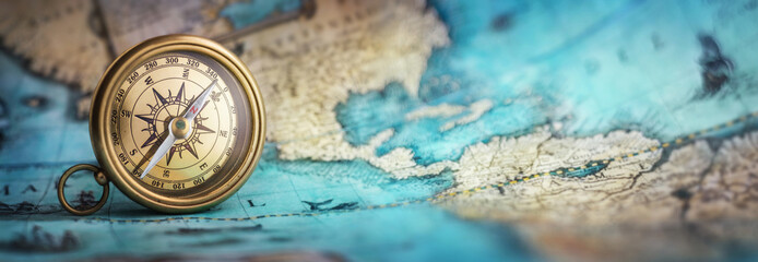 Magnetic old compass on world map.Travel, geography, navigation, tourism and exploration concept background. Macro photo. Very shallow focus.favorite_border favorite
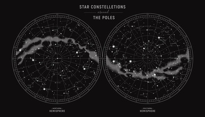 Star constellations around the poles. Nothern and Southern high detailed star map with symbols and signs of zodiac. Astrological celestial mapfavorite_border favorite
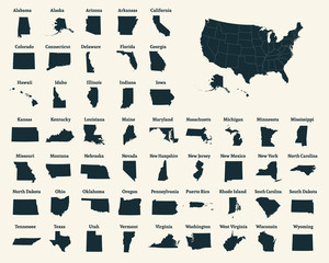 Outline map of the United States of America. 50 States of the USA. US map with state borders. Silhouette of the USA. Vectorfavorite_border favorite
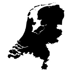 Netherlands black map on white background vectorfavorite_border favorite
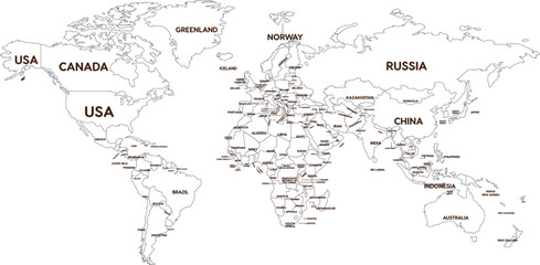 Outline World Map with Major Country Labelsfavorite_border favorite
 Navigation icon vector. Trip illustration sign. Location symbol. Pin logo.favorite_border favorite
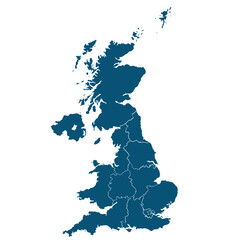 United Kingdom mapfavorite_border favorite
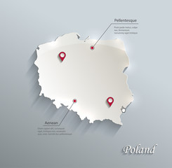 Poland map blue white card paper 3D vectorfavorite_border favorite
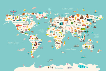 World map vector illustration. Landmarks, sight and animals hand draw icon. World vector poster for children, cute illustrated. Travel concept cardfavorite_border favorite
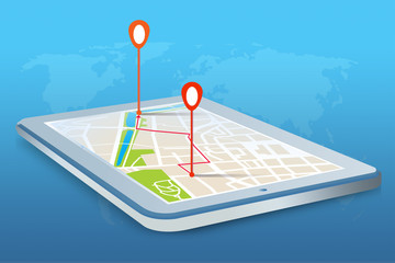 Mobilna nawigacja GPS na tablecie.favorite_border favorite
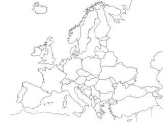 Europe political map sketch for coloringfavorite_border favorite
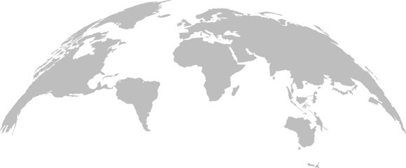 grey world map vector illustrationfavorite_border favorite
 High detailed Multicolor Watercolor World Map with borders.favorite_border favorite
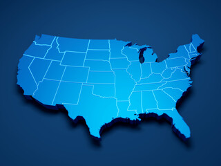 USA map 3d cinematographicfavorite_border favorite
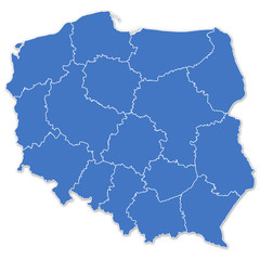 Map of Polandfavorite_border favorite
 Set pin map marker pointer icon, GPS location flat symbol, arrows and flag signs – vectorfavorite_border favorite
 Location line icon set. Compass, travel, globe, map, geography, earth, distance, direction minimal vector illustration. Simple outline sign navigation app ui 30x30 Pixel Perfect Editable Strokefavorite_border favorite
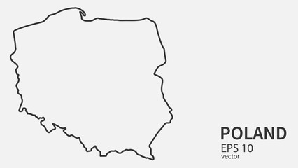 Vector line map of Poland. Vector design isolated on white background.favorite_border favorite
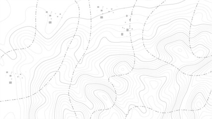 Abstract paper cut shapes. Topographic map on white background. Topo map elevation lines. Contour vector abstract vector illustration. Geographic world topography.favorite_border favorite
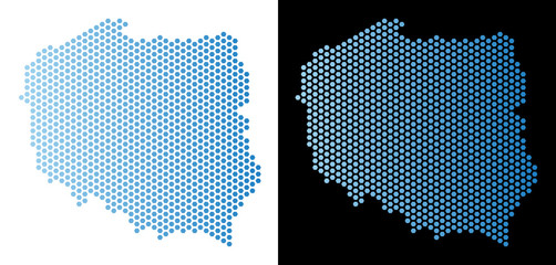 Hex Tile Poland map. Vector geographic scheme in light blue color with horizontal gradient on white and black backgrounds. Abstract Poland map mosaic is designed with honeycomb items.favorite_border favorite
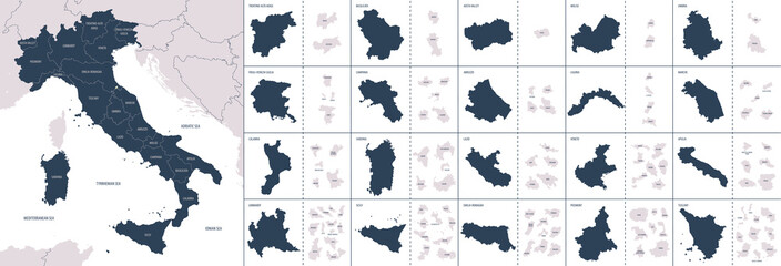 Vector color detailed map of Italy with administrative divisions of the country, each region is presented separately in-highly detailed and divided into provincesfavorite_border favorite
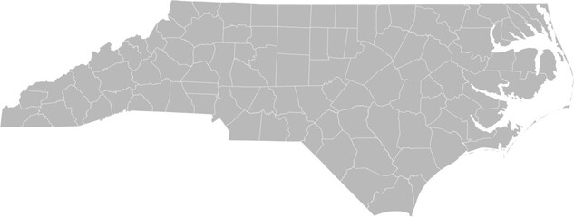 North Carolina vector map with county boundaries (Web Mercator projection, PPT-compatible & fully editable)favorite_border favorite
 Africa Mapfavorite_border favorite
 Europe from space at night with city lights showing European cities in Germany, France, Spain, Italy and United Kingdom (UK), global overview, 3d rendering of planet Earth, elements from NASAfavorite_border favorite
 Abstract digital world map illustration created with square pixel grid patterns representing global internet communication, international data networks, and technology connection concepts.favorite_border favorite
 France country border map outline and silhouette vector graphic isolated image decalfavorite_border favorite