-
World map silhouette, gray and white, flat design, world map template, vector illustration.
Do ulubionych favorite_border
Usuń z ulubionych favorite
-
Stylized simple outline map of USA icon. Blue sketch map of America vector illustration
Do ulubionych favorite_border
Usuń z ulubionych favorite
-
Do ulubionych favorite_border
Usuń z ulubionych favorite
-
Tokyo bay area road map ( with place names, sightseeing spots)
Do ulubionych favorite_border
Usuń z ulubionych favorite
-
Do ulubionych favorite_border
Usuń z ulubionych favorite
-
Do ulubionych favorite_border
Usuń z ulubionych favorite
-
World map navy blue colors and glossy style globes
Do ulubionych favorite_border
Usuń z ulubionych favorite
-
Map of World. Political map divided to six continents - North America, South America, Africa, Europe, Asia and Australia. Vector illustration in shades of grey with country name labels.
Do ulubionych favorite_border
Usuń z ulubionych favorite
-
Do ulubionych favorite_border
Usuń z ulubionych favorite
-
A world map made up of dots on a white background. Connection concept of people on earth. Vector illustration.
Do ulubionych favorite_border
Usuń z ulubionych favorite
-
Grey Vector Political Map of Spain
Do ulubionych favorite_border
Usuń z ulubionych favorite
-
world standard time zones vector map
Do ulubionych favorite_border
Usuń z ulubionych favorite
-
Street map art of Paris city in France. Road map of Paris. Black and white (blue) illustration of Parisian streets. France Printable poster.
Do ulubionych favorite_border
Usuń z ulubionych favorite
-
Italian Republic blank map set
Do ulubionych favorite_border
Usuń z ulubionych favorite
-
Location pin set. Map pin, pointer. Colour map pin vector
Do ulubionych favorite_border
Usuń z ulubionych favorite
-
Area map of Wrocław, Poland
Do ulubionych favorite_border
Usuń z ulubionych favorite
-
Do ulubionych favorite_border
Usuń z ulubionych favorite
-
Do ulubionych favorite_border
Usuń z ulubionych favorite
-
black silhouette map of latin america with country borders isolated on white background for graphic or print use
Do ulubionych favorite_border
Usuń z ulubionych favorite
-
world map line design vector illustration. modern world concept isolated white background
Do ulubionych favorite_border
Usuń z ulubionych favorite
-
High detailed vector map - Philippines.
Do ulubionych favorite_border
Usuń z ulubionych favorite
-
Corsica map vector illustration, scribble sketch Corsica
Do ulubionych favorite_border
Usuń z ulubionych favorite
-
detailed labeled africa line map
Do ulubionych favorite_border
Usuń z ulubionych favorite
-
Hand of young woman searching location in map online on smartphone.
Do ulubionych favorite_border
Usuń z ulubionych favorite
-
vector map of australia with borders of states
Do ulubionych favorite_border
Usuń z ulubionych favorite
-
Light blue world map on dark blue background, Elements of this image furnished by NASA
Do ulubionych favorite_border
Usuń z ulubionych favorite
-
Custom map creation set for kids and travel designs with houses, animals, trees, plants, flowers, roads, cars and vehicles, airplane and weather items. Includes three designs of maps
Do ulubionych favorite_border
Usuń z ulubionych favorite
-
Spanish map devided to 17 administrative autonomous communities. Simple flat blue vector map.
Do ulubionych favorite_border
Usuń z ulubionych favorite
-
Shaded relief map with vertical exaggeration of Poland. Created of Shuttle Radar Topography Mission (SRTM) free elevation data from NASA using 3D software.
Do ulubionych favorite_border
Usuń z ulubionych favorite
-
Map of the city of Warsaw, Poland
Do ulubionych favorite_border
Usuń z ulubionych favorite
-
Location pin icon. Minimal map marker vector for navigation apps. Geotag pointer marking place and position symbol. Clean destination point sign pictogram concept.
Do ulubionych favorite_border
Usuń z ulubionych favorite
-
Algeria map with administrative divisions.
Do ulubionych favorite_border
Usuń z ulubionych favorite
-
The route of the car on the device map. Traveling by car. Distance tracking. Vector illustration
Do ulubionych favorite_border
Usuń z ulubionych favorite
-
Simple (only sharp corners) map of Colombia vector drawing. Mercator projection. Filled and outline version.
Do ulubionych favorite_border
Usuń z ulubionych favorite
-
Do ulubionych favorite_border
Usuń z ulubionych favorite
-
Area map of Poznań, Poland
Do ulubionych favorite_border
Usuń z ulubionych favorite
-
Do ulubionych favorite_border
Usuń z ulubionych favorite
-
Old treasure map of pirate vector sketch with islands of Caribbean Sea, vintage nautical compass, pirate ships. Anchors, antique parchment, treasure chests and fantasy ocean monsters, adventure design
Do ulubionych favorite_border
Usuń z ulubionych favorite
-
Ukraine map icon. Ukraine silhouette flag collection signs. Ukrainian cartography border icons. Stock vector
Do ulubionych favorite_border
Usuń z ulubionych favorite
-
The stylized height of the topographic contour in lines and contours. Marine watershed. The concept of a conditional geography scheme and the water path. Vector illustration.
Do ulubionych favorite_border
Usuń z ulubionych favorite
-
pin or tag to indicate a location in PNG format
Do ulubionych favorite_border
Usuń z ulubionych favorite
-
Dashboard theme creative infographic of city map navigation.
Do ulubionych favorite_border
Usuń z ulubionych favorite
-
Navigation line icons set. Road trip path, trail, home marker, journey, compass, globe, country, geography, tourism visualization vector illustration. Outline signs of location. Editable Stroke
Do ulubionych favorite_border
Usuń z ulubionych favorite
-
Infographic template winding asphalt road with pin-pointers. Vector EPS 10
Do ulubionych favorite_border
Usuń z ulubionych favorite
-
Do ulubionych favorite_border
Usuń z ulubionych favorite
-
Children's world map with animals and attractions in Russian. Photo wallpapers for the children's room.
Do ulubionych favorite_border
Usuń z ulubionych favorite
-
Northern hemisphere. High detailed star map of vector constellations. Astrological celestial map with symbols and signs of zodiac
Do ulubionych favorite_border
Usuń z ulubionych favorite
-
Kosovo political map of administrative divisions
Do ulubionych favorite_border
Usuń z ulubionych favorite
-
Urban vector city map of Houston, Texas, USA
Do ulubionych favorite_border
Usuń z ulubionych favorite
-
retro style poster with map of the USA with federal states, vintage typography - vector eps design element for cards, infographics, t-shirts or other print products
Do ulubionych favorite_border
Usuń z ulubionych favorite
-
Urban city map of Wroclaw. Vector poster. Grayscale street map.
Do ulubionych favorite_border
Usuń z ulubionych favorite
-
Halftone world map with dot pattern, dot textured continents graphic map, black and white Earth infographic. Vector isolated template great for digital design.
Do ulubionych favorite_border
Usuń z ulubionych favorite
-
ofvs267 OutlineFilledVectorSign ofvs - map marker vector icon . location pin sign . travel destination . place logo . isolated transparent . outline and filled version . AI 10 / EPS 10 / PNG . g11607
Do ulubionych favorite_border
Usuń z ulubionych favorite
-
Africa countries outline map from space, globe planet earth from space, elements of this image courtesy of NASA
Do ulubionych favorite_border
Usuń z ulubionych favorite
-
Old hand drawn vintage world map
Do ulubionych favorite_border
Usuń z ulubionych favorite
-
High detailed vector map - India.
Do ulubionych favorite_border
Usuń z ulubionych favorite
-
Poland Map Isolated on white
Do ulubionych favorite_border
Usuń z ulubionych favorite
-
Thailand map on white background vector
Do ulubionych favorite_border
Usuń z ulubionych favorite
-
Set of travel posters with Amsterdam, detailed urban street plan city map, Silhouette city skyline, vector artwork
Do ulubionych favorite_border
Usuń z ulubionych favorite
-
Passport stamps of different visa country in form of world map. Travel, tourism and immigration concept background.
Do ulubionych favorite_border
Usuń z ulubionych favorite
-
Do ulubionych favorite_border
Usuń z ulubionych favorite
-
Do ulubionych favorite_border
Usuń z ulubionych favorite
-
Do ulubionych favorite_border
Usuń z ulubionych favorite
-
Barcelona, Spain, printable map
Do ulubionych favorite_border
Usuń z ulubionych favorite
-
white World map with shadow - vector illustration of earth map on transparent background
Do ulubionych favorite_border
Usuń z ulubionych favorite
-
Outline Illustration of the world (with country borders)
Do ulubionych favorite_border
Usuń z ulubionych favorite
-
Blue location pin on a city map, blurred background
Do ulubionych favorite_border
Usuń z ulubionych favorite
-
World map divided into six continents. Each continent in different color. Simple flat vector illustration.
Do ulubionych favorite_border
Usuń z ulubionych favorite
-
Urban city map of London, England
Do ulubionych favorite_border
Usuń z ulubionych favorite
-
Vector design of the street map of Chicago against a white background
Do ulubionych favorite_border
Usuń z ulubionych favorite
-
Background Nashville map, United States, white and light grey city poster. Vector map with roads and water. Widescreen proportion, flat design roadmap.
Do ulubionych favorite_border
Usuń z ulubionych favorite
-
A simple line drawing of the map of italy is isolated on white background
Do ulubionych favorite_border
Usuń z ulubionych favorite
-
Children's map of the world with sights detailed grey
Do ulubionych favorite_border
Usuń z ulubionych favorite
-
italy map white and black
Do ulubionych favorite_border
Usuń z ulubionych favorite
-
United kingdom silhouette map geographic representation of the british isles
Do ulubionych favorite_border
Usuń z ulubionych favorite
-
Canada gray map with provinces. Vector illustration.
Do ulubionych favorite_border
Usuń z ulubionych favorite
-
Do ulubionych favorite_border
Usuń z ulubionych favorite
-
Africa Map with countries grey
Do ulubionych favorite_border
Usuń z ulubionych favorite
-
Black on white dotted world map vector
Do ulubionych favorite_border
Usuń z ulubionych favorite
-
Abstract triangle icon set, map style, logo symbol
Do ulubionych favorite_border
Usuń z ulubionych favorite
-
hand drawn south America map isolated on white background
Do ulubionych favorite_border
Usuń z ulubionych favorite
-
location pin icon symbol sign isolated on transparent background, map flat vector icons
Do ulubionych favorite_border
Usuń z ulubionych favorite
-
Vector illustration. Topographic cover concept. Set of minimal design banner for print. Vintage color. Old fashion style. Retro poster graphic. Map with marks and trails. Line art pattern
Do ulubionych favorite_border
Usuń z ulubionych favorite
-
World map outline with highlighted continents and islands on a transparent background
Do ulubionych favorite_border
Usuń z ulubionych favorite
-
Map of North Bay in Canada in a professional blue style. Contains layered vector with roads water, parks, etc.
Do ulubionych favorite_border
Usuń z ulubionych favorite
-
Do ulubionych favorite_border
Usuń z ulubionych favorite
-
Simplified vector illustration of world map
Do ulubionych favorite_border
Usuń z ulubionych favorite
-
black colored vector illustration of political world map outline with gold colored borders
Do ulubionych favorite_border
Usuń z ulubionych favorite
-
Europe dotted map vector — halftone continent silhouette with EU flag Halftone Europe map outline — dotted European continent vector European Union dotted map — pixel dot Europe silhouette vector
Do ulubionych favorite_border
Usuń z ulubionych favorite
-
Contour lines on topographic maps, geographic map background. Vector set of social media stories template with copy space
Do ulubionych favorite_border
Usuń z ulubionych favorite
-
Województwo mazowieckie z kodami pocztowymi i podziałami na gminy i powiaty
Do ulubionych favorite_border
Usuń z ulubionych favorite
-
USA map infographic. Slide presentation. United States of America. Global business marketing concept. Color country. World transportation data. Economic statistic template.
Do ulubionych favorite_border
Usuń z ulubionych favorite
-
Urban Cracow map. Detailed map of Kraków (Cracovia), Poland. City poster with streets and Wisła (Vistula) River. Light stroke version.
Do ulubionych favorite_border
Usuń z ulubionych favorite
-
Transportation and connections of the world. Vector illustration created from dots and lines. logistics concept for business on white background.
Do ulubionych favorite_border
Usuń z ulubionych favorite
-
Old vintage parchment map, antique papyrus cartography treasure illustration, fantasy game paper. Medieval geography kingdom art, castle, wind rose, mountains, ruin. Pirate old dirty map on white
Do ulubionych favorite_border
Usuń z ulubionych favorite
-
3D Illustration Computer-generated imagery CGI modeling HDRI 360º view panoramic lighting room interior studio lights
Do ulubionych favorite_border
Usuń z ulubionych favorite
-
Vintage Physical World Map-America Centered-Colors of Brown
Do ulubionych favorite_border
Usuń z ulubionych favorite
-
Shaded relief map of Europe, colored for vegetation.
Do ulubionych favorite_border
Usuń z ulubionych favorite
-
Abstract paper map in hand on blue background with copy space. High quality photo
Do ulubionych favorite_border
Usuń z ulubionych favorite
-
Geolocation set and GPS location or direction guide tiny person collection. Items with map navigation system, destination route calculation with road traffic vector illustration. Cartography elements.
Do ulubionych favorite_border
Usuń z ulubionych favorite
 World map silhouette, gray and white, flat design, world map template, vector illustration.favorite_border favorite
 Stylized simple outline map of USA icon. Blue sketch map of America vector illustrationfavorite_border favorite
 World's mapfavorite_border favorite
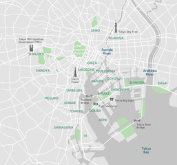 Tokyo bay area road map ( with place names, sightseeing spots)favorite_border favorite
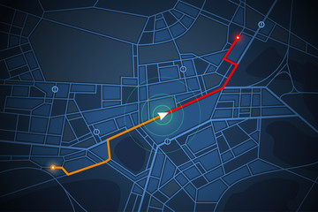 navigation map screenfavorite_border favorite
 polska, mapa, konturfavorite_border favorite
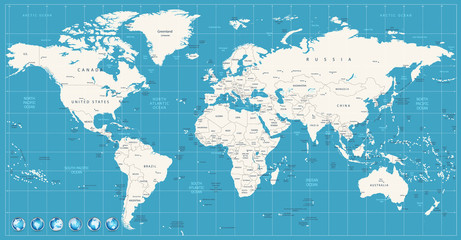 World map navy blue colors and glossy style globesfavorite_border favorite
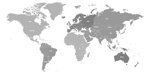 Map of World. Political map divided to six continents - North America, South America, Africa, Europe, Asia and Australia. Vector illustration in shades of grey with country name labels.favorite_border favorite
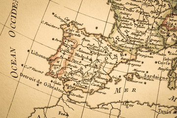 アンティークの古地図 イベリア半島favorite_border favorite
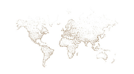 A world map made up of dots on a white background. Connection concept of people on earth. Vector illustration.favorite_border favorite
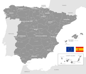 Grey Vector Political Map of Spainfavorite_border favorite
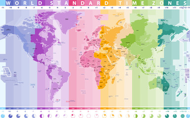 world standard time zones vector mapfavorite_border favorite
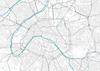 Street map art of Paris city in France. Road map of Paris. Black and white (blue) illustration of Parisian streets. France Printable poster.favorite_border favorite
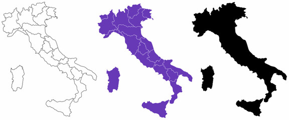 Italian Republic blank map setfavorite_border favorite
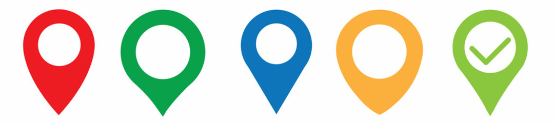 Location pin set. Map pin, pointer. Colour map pin vectorfavorite_border favorite
 Area map of Wrocław, Polandfavorite_border favorite
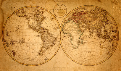 old map 1799favorite_border favorite
 old mapfavorite_border favorite
 black silhouette map of latin america with country borders isolated on white background for graphic or print usefavorite_border favorite
 world map line design vector illustration. modern world concept isolated white backgroundfavorite_border favorite
 High detailed vector map - Philippines.favorite_border favorite
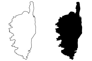 Corsica map vector illustration, scribble sketch Corsicafavorite_border favorite
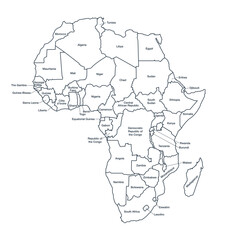 detailed labeled africa line mapfavorite_border favorite
 Hand of young woman searching location in map online on smartphone.favorite_border favorite
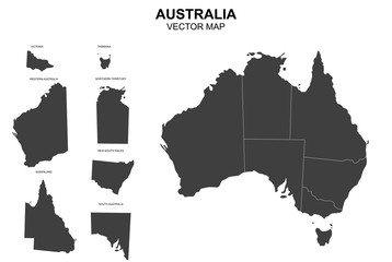 vector map of australia with borders of statesfavorite_border favorite
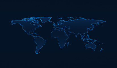 Light blue world map on dark blue background, Elements of this image furnished by NASAfavorite_border favorite
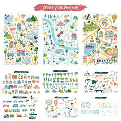 Custom map creation set for kids and travel designs with houses, animals, trees, plants, flowers, roads, cars and vehicles, airplane and weather items. Includes three designs of mapsfavorite_border favorite
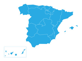 Spanish map devided to 17 administrative autonomous communities. Simple flat blue vector map.favorite_border favorite
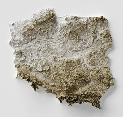 Shaded relief map with vertical exaggeration of Poland. Created of Shuttle Radar Topography Mission (SRTM) free elevation data from NASA using 3D software.favorite_border favorite
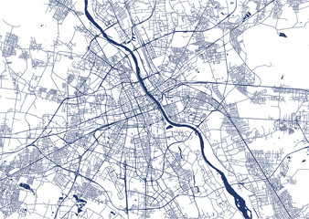 Map of the city of Warsaw, Polandfavorite_border favorite
 Location pin icon. Minimal map marker vector for navigation apps. Geotag pointer marking place and position symbol. Clean destination point sign pictogram concept.favorite_border favorite
 Algeria map with administrative divisions.favorite_border favorite
 The route of the car on the device map. Traveling by car. Distance tracking. Vector illustrationfavorite_border favorite
 Simple (only sharp corners) map of Colombia vector drawing. Mercator projection. Filled and outline version.favorite_border favorite
 mapa mundofavorite_border favorite
 Area map of Poznań, Polandfavorite_border favorite
 地図アプリfavorite_border favorite
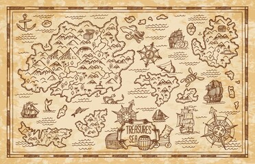 Old treasure map of pirate vector sketch with islands of Caribbean Sea, vintage nautical compass, pirate ships. Anchors, antique parchment, treasure chests and fantasy ocean monsters, adventure designfavorite_border favorite
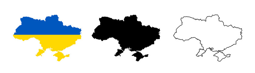 Ukraine map icon. Ukraine silhouette flag collection signs. Ukrainian cartography border icons. Stock vectorfavorite_border favorite
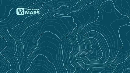 The stylized height of the topographic contour in lines and contours. Marine watershed. The concept of a conditional geography scheme and the water path. Vector illustration.favorite_border favorite
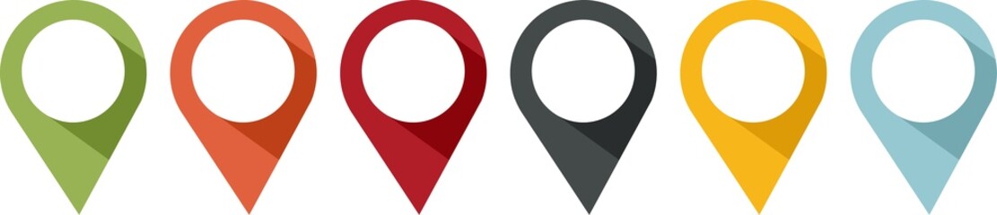 pin or tag to indicate a location in PNG formatfavorite_border favorite
 Dashboard theme creative infographic of city map navigation.favorite_border favorite
 Navigation line icons set. Road trip path, trail, home marker, journey, compass, globe, country, geography, tourism visualization vector illustration. Outline signs of location. Editable Strokefavorite_border favorite
 Infographic template winding asphalt road with pin-pointers. Vector EPS 10favorite_border favorite
 map of europefavorite_border favorite
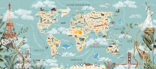 Children's world map with animals and attractions in Russian. Photo wallpapers for the children's room.favorite_border favorite
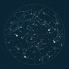 Northern hemisphere. High detailed star map of vector constellations. Astrological celestial map with symbols and signs of zodiacfavorite_border favorite
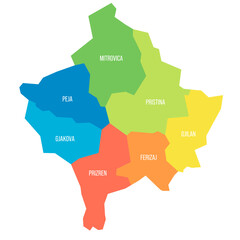 Kosovo political map of administrative divisionsfavorite_border favorite
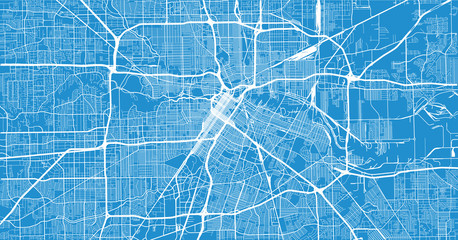 Urban vector city map of Houston, Texas, USAfavorite_border favorite
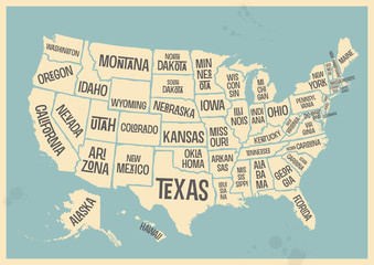 retro style poster with map of the USA with federal states, vintage typography - vector eps design element for cards, infographics, t-shirts or other print productsfavorite_border favorite
 Urban city map of Wroclaw. Vector poster. Grayscale street map.favorite_border favorite
 Halftone world map with dot pattern, dot textured continents graphic map, black and white Earth infographic. Vector isolated template great for digital design.favorite_border favorite
 ofvs267 OutlineFilledVectorSign ofvs - map marker vector icon . location pin sign . travel destination . place logo . isolated transparent . outline and filled version . AI 10 / EPS 10 / PNG . g11607favorite_border favorite
 Africa countries outline map from space, globe planet earth from space, elements of this image courtesy of NASAfavorite_border favorite
 Old hand drawn vintage world mapfavorite_border favorite
 High detailed vector map - India.favorite_border favorite
 Poland Map Isolated on whitefavorite_border favorite
 Thailand map on white background vectorfavorite_border favorite
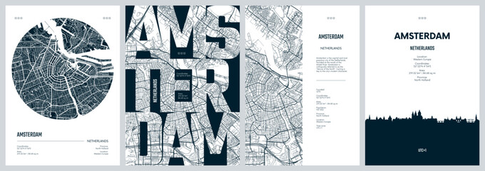 Set of travel posters with Amsterdam, detailed urban street plan city map, Silhouette city skyline, vector artworkfavorite_border favorite
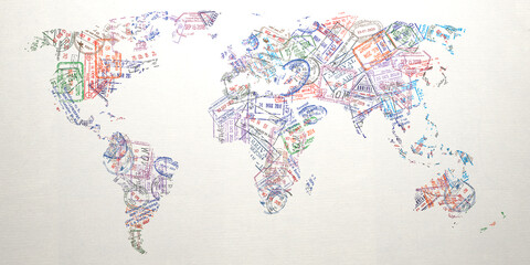 Passport stamps of different visa country in form of world map. Travel, tourism and immigration concept background.favorite_border favorite
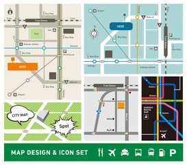 地図デザイン・アイコンセットfavorite_border favorite
 世界地図 グラデーションfavorite_border favorite
 city mapfavorite_border favorite
 Barcelona, Spain, printable mapfavorite_border favorite
 white World map with shadow - vector illustration of earth map on transparent backgroundfavorite_border favorite
 Outline Illustration of the world (with country borders)favorite_border favorite
 Blue location pin on a city map, blurred backgroundfavorite_border favorite
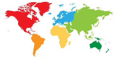 World map divided into six continents. Each continent in different color. Simple flat vector illustration.favorite_border favorite
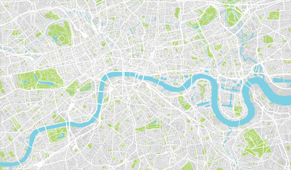 Urban city map of London, Englandfavorite_border favorite
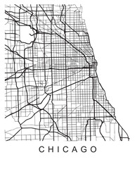 Vector design of the street map of Chicago against a white backgroundfavorite_border favorite
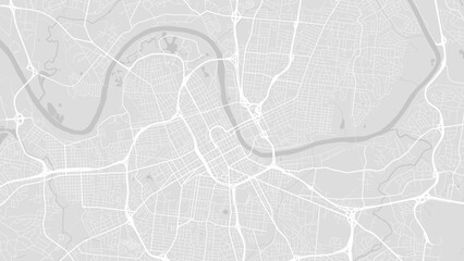 Background Nashville map, United States, white and light grey city poster. Vector map with roads and water. Widescreen proportion, flat design roadmap.favorite_border favorite
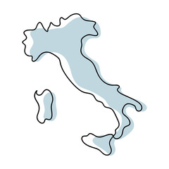 A simple line drawing of the map of italy is isolated on white backgroundfavorite_border favorite
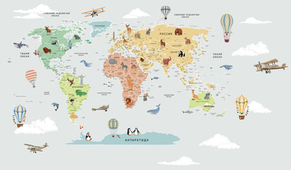 Children's map of the world with sights detailed greyfavorite_border favorite
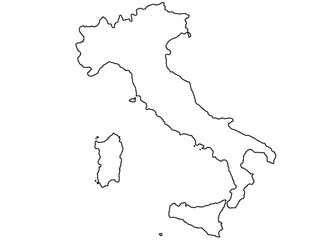 italy map white and blackfavorite_border favorite
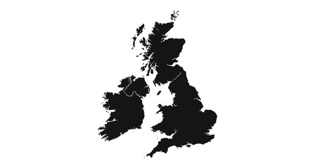 United kingdom silhouette map geographic representation of the british islesfavorite_border favorite
 Canada gray map with provinces. Vector illustration.favorite_border favorite
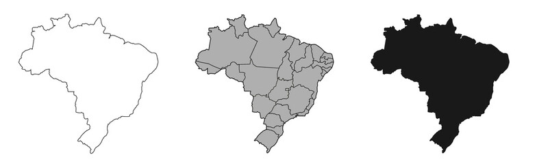 Brazil mapfavorite_border favorite
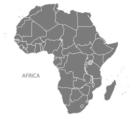 Africa Map with countries greyfavorite_border favorite
 Black on white dotted world map vectorfavorite_border favorite
 Abstract triangle icon set, map style, logo symbolfavorite_border favorite
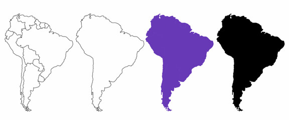 hand drawn south America map isolated on white backgroundfavorite_border favorite
 location pin icon symbol sign isolated on transparent background, map flat vector iconsfavorite_border favorite
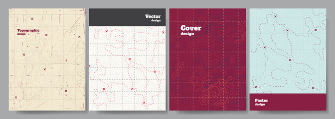 Vector illustration. Topographic cover concept. Set of minimal design banner for print. Vintage color. Old fashion style. Retro poster graphic. Map with marks and trails. Line art patternfavorite_border favorite
 World map outline with highlighted continents and islands on a transparent backgroundfavorite_border favorite
 Map of North Bay in Canada in a professional blue style. Contains layered vector with roads water, parks, etc.favorite_border favorite
 United Kingdom mapfavorite_border favorite
 Simplified vector illustration of world mapfavorite_border favorite
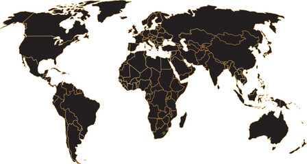 black colored vector illustration of political world map outline with gold colored bordersfavorite_border favorite
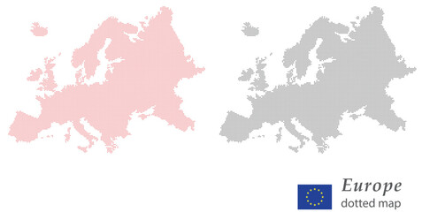 Europe dotted map vector — halftone continent silhouette with EU flag Halftone Europe map outline — dotted European continent vector European Union dotted map — pixel dot Europe silhouette vectorfavorite_border favorite
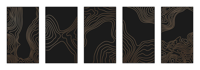 Contour lines on topographic maps, geographic map background. Vector set of social media stories template with copy spacefavorite_border favorite
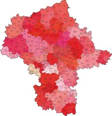 Województwo mazowieckie z kodami pocztowymi i podziałami na gminy i powiatyfavorite_border favorite
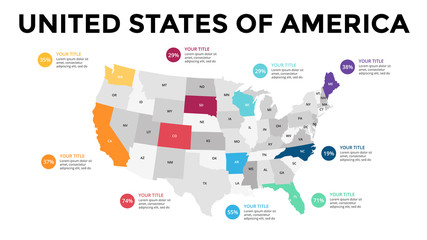 USA map infographic. Slide presentation. United States of America. Global business marketing concept. Color country. World transportation data. Economic statistic template.favorite_border favorite
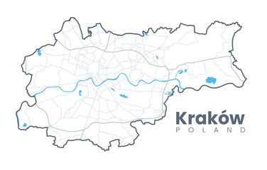 Urban Cracow map. Detailed map of Kraków (Cracovia), Poland. City poster with streets and Wisła (Vistula) River. Light stroke version.favorite_border favorite
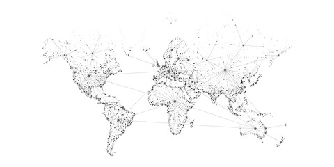 Transportation and connections of the world. Vector illustration created from dots and lines. logistics concept for business on white background.favorite_border favorite
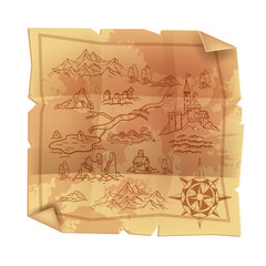 Old vintage parchment map, antique papyrus cartography treasure illustration, fantasy game paper. Medieval geography kingdom art, castle, wind rose, mountains, ruin. Pirate old dirty map on whitefavorite_border favorite
 3D Illustration Computer-generated imagery CGI modeling HDRI 360º view panoramic lighting room interior studio lightsfavorite_border favorite
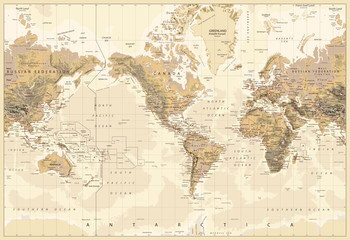 Vintage Physical World Map-America Centered-Colors of Brownfavorite_border favorite
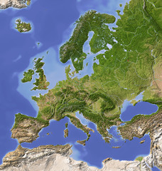 Shaded relief map of Europe, colored for vegetation.favorite_border favorite
 Abstract paper map in hand on blue background with copy space. High quality photofavorite_border favorite
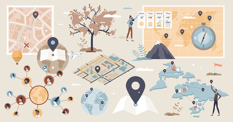 Geolocation set and GPS location or direction guide tiny person collection. Items with map navigation system, destination route calculation with road traffic vector illustration. Cartography elements.favorite_border favorite