-
Ireland map with counties and Northern Ireland. Vector illustration.
Do ulubionych favorite_border
Usuń z ulubionych favorite
-
Cool grey Abstrak technologi vector tech Stylized modern world map background Stylized wireframe and dots for data visualization and infographics HUD GUI UI
Do ulubionych favorite_border
Usuń z ulubionych favorite
-
Modern Infographic Template
Do ulubionych favorite_border
Usuń z ulubionych favorite
-
Poland Detail Administrative Map and roads
Do ulubionych favorite_border
Usuń z ulubionych favorite
-
White and light grey London city area vector background map, streets and water cartography illustration.
Do ulubionych favorite_border
Usuń z ulubionych favorite
-
Travel poster, urban street plan city map Warsaw and Krakow, vector illustration
Do ulubionych favorite_border
Usuń z ulubionych favorite
-
Abstract USA or United States of America Map with dot Pixel Spot Modern Concept Design Isolated on White background Vector illustration.
Do ulubionych favorite_border
Usuń z ulubionych favorite
-
Map world. Vector. Country. Earth Globe
Do ulubionych favorite_border
Usuń z ulubionych favorite
-
USA tourist map with famous landmarks and state names.
Do ulubionych favorite_border
Usuń z ulubionych favorite
-
Czech Republic map vector. High detailed vector outline, blue silhouette and administrative divisions map of Czech Republic. All isolated on white background
Do ulubionych favorite_border
Usuń z ulubionych favorite
-
360 degree panorama of modern futuristic technology station space ship sci-fi laboratory. 3d render illustration hdr hdri vr virtual reality environment map
Do ulubionych favorite_border
Usuń z ulubionych favorite
-
US map with hollow outline
Do ulubionych favorite_border
Usuń z ulubionych favorite
-
Black and white map of japan with pixelated design elements on
Do ulubionych favorite_border
Usuń z ulubionych favorite
-
antarctica map set isolated on white background
Do ulubionych favorite_border
Usuń z ulubionych favorite
-
3D Realistic Location map pin gps pointer markers vector illustration for destination.
Do ulubionych favorite_border
Usuń z ulubionych favorite
-
America with countries Map grey
Do ulubionych favorite_border
Usuń z ulubionych favorite
-
World map with countries on blue background
Do ulubionych favorite_border
Usuń z ulubionych favorite
-
businessman lost in field using a map
Do ulubionych favorite_border
Usuń z ulubionych favorite
-
vector city map of Warsaw, Poland
Do ulubionych favorite_border
Usuń z ulubionych favorite
-
An overhead view of a city map with several colorful location pin markers
Do ulubionych favorite_border
Usuń z ulubionych favorite
-
Colored administrative and political vector map of the Spanish provinces and regions
Do ulubionych favorite_border
Usuń z ulubionych favorite
-
location pin symbol green and white color map marker silhouette vector
Do ulubionych favorite_border
Usuń z ulubionych favorite
-
Poland map on transparent background. Vector illustration.
Do ulubionych favorite_border
Usuń z ulubionych favorite
-
Earth photo at night, City Lights of Europe, Middle East, Turkey, Italy, Black Sea, Mediterrenian Sea from space, World map globe. Satellite HD photo. Elements of this image furnished by NASA.
Do ulubionych favorite_border
Usuń z ulubionych favorite
-
Globe world map with continents, isolated rounded hemispheres of Earth digital dots set. Business or political worldwide display, monochrome countries. Vector in flat style
Do ulubionych favorite_border
Usuń z ulubionych favorite
-
World Map with Countries name text, World Map Letter, World Map Typography
Do ulubionych favorite_border
Usuń z ulubionych favorite
-
Polen Landkarte im Detail
Do ulubionych favorite_border
Usuń z ulubionych favorite
-
Brazil map with the flag Colors Red and yellow Shaded relief map 3d illustration
Do ulubionych favorite_border
Usuń z ulubionych favorite
-
World map in equirectangular projection (equidistant cylindrical projection, geographic projection, EPSG:4326). Detailed vector Earth map with countries’ borders and 5-degree grid.
Do ulubionych favorite_border
Usuń z ulubionych favorite
-
Switzerland map vector. High detailed vector outline, blue silhouette and administrative divisions map of Switzerland. All isolated on white background. Template for website, design, cover.
Do ulubionych favorite_border
Usuń z ulubionych favorite
-
Satellite weather map over North America overlayed with wind streamlines. Satellite data provided by EUMETSAT.
Do ulubionych favorite_border
Usuń z ulubionych favorite
-
Vector road map of the city of Torun in Poland with black roads on a white background.
Do ulubionych favorite_border
Usuń z ulubionych favorite
-
Do ulubionych favorite_border
Usuń z ulubionych favorite
-
The stylized height of the topographic map contour in lines and contours. The concept of a conditional geography scheme and the terrain path. Red on black. Ultra wide size. Vector illustration.
Do ulubionych favorite_border
Usuń z ulubionych favorite
-
Turkey country map flat background vector template
Do ulubionych favorite_border
Usuń z ulubionych favorite
-
Urban Poznań map. Detailed map of Poznan, Poland. City poster with streets and Warta River. Light stroke version.
Do ulubionych favorite_border
Usuń z ulubionych favorite
-
set of location icons.modern map markers. Vector illustration on a white background
Do ulubionych favorite_border
Usuń z ulubionych favorite
-
グレースケールのスタイリッシュな地図素材セット 道路・線路はアピアランス分割なし 線幅変更可能
Do ulubionych favorite_border
Usuń z ulubionych favorite
-
GPS mark on the road map.
Do ulubionych favorite_border
Usuń z ulubionych favorite
-
Set of location pin icons. location pin place marker. Location icon. Map marker pointer icon set. Modern map markers. Pin icon vector isolated on white background. Vector illustration, eps 10.
Do ulubionych favorite_border
Usuń z ulubionych favorite
-
Old geographical map of the world of the 18 century. Collage. A good background for design on the theme of travel, geography, history, voyage, etc. Ancient map background.
Do ulubionych favorite_border
Usuń z ulubionych favorite
-
Illustration of a world map made of dots on a white background. Horizontal banner
Do ulubionych favorite_border
Usuń z ulubionych favorite
-
United Kingdom map. England, Scotland, Wales, Northern Ireland. Vector Great Britain map wit UK flag isolated on white background.
Do ulubionych favorite_border
Usuń z ulubionych favorite
-
Urban vector city map of Lodz, Poland
Do ulubionych favorite_border
Usuń z ulubionych favorite
-
Dotted path with points. isolated on white background. Vector illustration. EPS 10 .
Do ulubionych favorite_border
Usuń z ulubionych favorite
-
Map of Europe with countries. Just a simple continent border map with country division. Light blue color palette. Plain Europe shape with administrative division. Vector illustration.
Do ulubionych favorite_border
Usuń z ulubionych favorite
-
Location Spain. Red pin on the map.
Do ulubionych favorite_border
Usuń z ulubionych favorite
-
3d map of world Template for your design
Do ulubionych favorite_border
Usuń z ulubionych favorite
-
World logistic delivery concept. Global export and import airlinnes. Smart airplane tracking. Ecommerce trade service infographic.
Do ulubionych favorite_border
Usuń z ulubionych favorite
-
Blank old dirty paper background and texture
Do ulubionych favorite_border
Usuń z ulubionych favorite
-
Hurricane Ian - colorful satellite weather map overlayed with wind streams. Satellite data provided by EUMETSAT.
Do ulubionych favorite_border
Usuń z ulubionych favorite
-
Katowice map. Detailed map of Katowice city poster with streets. Cityscape vector.
Do ulubionych favorite_border
Usuń z ulubionych favorite
-
Terrain map. Contours trails, image grid geographic relief topographic contour line maps cartography texture, vector illustration
Do ulubionych favorite_border
Usuń z ulubionych favorite
-
The stylized height of the topographic map contour in lines and contours. The concept map of a conditional geography scheme and the terrain path. Isolated Object. Ultra Wide size. Vector illustration.
Do ulubionych favorite_border
Usuń z ulubionych favorite
-
Fantasy map elements illustration, drawing, engraving, ink, line art, vector
Do ulubionych favorite_border
Usuń z ulubionych favorite
-
Geographic topographic map grid. Topography map background. Vector banner.
Do ulubionych favorite_border
Usuń z ulubionych favorite
-
Simple (only sharp corners) map of Romania vector drawing. Mercator projection. Filled and outline version.
Do ulubionych favorite_border
Usuń z ulubionych favorite
-
The Baltic Sea countries, NATO frontier countries, NATO-Russia border, the Suwalki pass, Polish language version map
Do ulubionych favorite_border
Usuń z ulubionych favorite
-
Australia map icon clipart and thin stroke versions pack
Do ulubionych favorite_border
Usuń z ulubionych favorite
-
Modern minimalist vector map of Dallas, Texas, USA. High-quality scalable illustration of Dallas city grid, downtown, and DFW metroplex for posters and urban design.
Do ulubionych favorite_border
Usuń z ulubionych favorite
-
Stylized European Map for Data Visualization and Regional Analysis with Blue Tones
Do ulubionych favorite_border
Usuń z ulubionych favorite
-
Black and white illustration of a world map in a pixelated style
Do ulubionych favorite_border
Usuń z ulubionych favorite
-
High detailed Eurasia map isolated on a white background. Europe, Asia background. Map of Eurasia. Vector illustration
Do ulubionych favorite_border
Usuń z ulubionych favorite
-
Three map and magnifying glass icons: silhouette, outline, and sketch.
Do ulubionych favorite_border
Usuń z ulubionych favorite
-
Map Location icon set. Containing pin, flag, GPS, destination, direction, distance, place, navigation, route, road, marker, address, position and more. Editable line icons. Vector illustration.
Do ulubionych favorite_border
Usuń z ulubionych favorite
-
Visual representation of china with different map styles and national flag elements
Do ulubionych favorite_border
Usuń z ulubionych favorite
-
Hand drawn world map illustration, colorful vector of world map line art, doodles for poster, travel, print, business, vector illustration of global map.
Do ulubionych favorite_border
Usuń z ulubionych favorite
-
City map illustration pale gray and green color scheme overhead perspective
Do ulubionych favorite_border
Usuń z ulubionych favorite
-
Do ulubionych favorite_border
Usuń z ulubionych favorite
-
USA map collection with state boundaries outline filled and solid silhouette styles in vector format. Detailed United States geographic maps including Alaska and Hawaii. Clean cartography design
Do ulubionych favorite_border
Usuń z ulubionych favorite
-
Fantasy game world map vector, isometric RPG adventure landscape with diverse biomes, colorful strategy game map with mountains forests and desert terrain
Do ulubionych favorite_border
Usuń z ulubionych favorite
-
Abstract blue topographic map background with light contour lines organic minimalist terrain texture for water design
Do ulubionych favorite_border
Usuń z ulubionych favorite
-
2D AutoCAD Vector illustration of airplanes parked at airport terminal with control tower
Do ulubionych favorite_border
Usuń z ulubionych favorite
-
Worldwide map with dots in flat style. Dotted world map vector illustration on isolated background. Continent cartography sign business concept.
Do ulubionych favorite_border
Usuń z ulubionych favorite
-
Colored political map of the Arctic Ocean region with countries and capitals within the Arctic Circle, geographic location of the Earth North Pole, vector map with latitude and longitude
Do ulubionych favorite_border
Usuń z ulubionych favorite
-
Planet earth world map globe sphere vector illustration set featuring blue geographic continents, latitude longitude grid lines, and global navigation perspective views.
Do ulubionych favorite_border
Usuń z ulubionych favorite
-
Map marker icon on white background.
Do ulubionych favorite_border
Usuń z ulubionych favorite
-
Horizontal antique stained parchment paper with torn edges
Do ulubionych favorite_border
Usuń z ulubionych favorite
-
Detailed political map of the European continent featuring clearly defined national borders and country names written in Spanish language printed as a black line on transparent background
Do ulubionych favorite_border
Usuń z ulubionych favorite
-
Modern minimalist vector map of Houston, Texas. High-quality SVG illustration of Houston city grid, highway loops, and urban layout for posters and architectural design.
Do ulubionych favorite_border
Usuń z ulubionych favorite
-
Geometric World Map Vector, Global Continents, Teal Blue Green Gradient vector illustration
Do ulubionych favorite_border
Usuń z ulubionych favorite
-
City street and transportation map of Tokyo, Japan, in black and light beige. High resolution full frame minimalist poster style road map or urban street plan of Tokyo. Vintage look.
Do ulubionych favorite_border
Usuń z ulubionych favorite
-
Houston usa map silhouette isolated vector illustration design for creative graphic projects web print media files.
Do ulubionych favorite_border
Usuń z ulubionych favorite
-
Abstract Dotted World Map with Curved Horizon and Perspective - Minimalist Halftone Global Data Vector
Do ulubionych favorite_border
Usuń z ulubionych favorite
-
A simplified grayscale map depicts the british isles showcasing the outlines of great britain and ireland high quality
Do ulubionych favorite_border
Usuń z ulubionych favorite
-
world map halftone dotted globe background black dot earth vector illustration
Do ulubionych favorite_border
Usuń z ulubionych favorite
-
Vector illustration. Topographic map templates. Contour lines, dotted paths, and pin icons on a perspective grid background. Minimalist vintage design for social media background, web banner
Do ulubionych favorite_border
Usuń z ulubionych favorite
-
High resolution satellite image of Earth. Panoramic planet map with texture surface. World map, Earth flat view on white background or Detailed global world physical map illustration.
Do ulubionych favorite_border
Usuń z ulubionych favorite
-
Spain country map in dark blue and white outline on transparent background
Do ulubionych favorite_border
Usuń z ulubionych favorite
-
Vintage style map with compass rose design
Do ulubionych favorite_border
Usuń z ulubionych favorite
-
Red map pin icon representing a location marker png
Do ulubionych favorite_border
Usuń z ulubionych favorite
-
Set of three vertical banners with abstract topographic map contour lines on dark blue background
Do ulubionych favorite_border
Usuń z ulubionych favorite
-
Colorful world map with labeled continents and global regions
Do ulubionych favorite_border
Usuń z ulubionych favorite
-
United Kingdom Map Vector Illustration. Set of 4 political maps Flag Colors, Blue Silhouette UK Country Outline Isolated on Transperant Background.
Do ulubionych favorite_border
Usuń z ulubionych favorite
-
Vector isometric city map with colorful location pins, navigation, GPS, travel, and delivery concept illustration
Do ulubionych favorite_border
Usuń z ulubionych favorite
-
Childish city map creator seamless pattern with different transport on road and house building
Do ulubionych favorite_border
Usuń z ulubionych favorite
-
Tennessee vector map with county boundaries (Web Mercator projection, PPT-compatible & fully editable)
Do ulubionych favorite_border
Usuń z ulubionych favorite
-
Map Location Pin Icon for Navigation, Destination, GPS, and Geographic Tracking - Vector Illustration
Do ulubionych favorite_border
Usuń z ulubionych favorite
-
Detailed colorful infographic map showing geographical layout and statistical data for all Latin American and Caribbean countries including numbered regions and labels on transparent background
Do ulubionych favorite_border
Usuń z ulubionych favorite
-
Poland map icon. Poland border. Country flag sign. Europe geography. Vector illustration.
Do ulubionych favorite_border
Usuń z ulubionych favorite
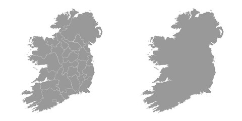 Ireland map with counties and Northern Ireland. Vector illustration.favorite_border favorite
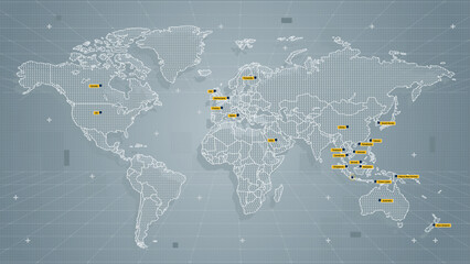 Cool grey Abstrak technologi vector tech Stylized modern world map background Stylized wireframe and dots for data visualization and infographics HUD GUI UIfavorite_border favorite
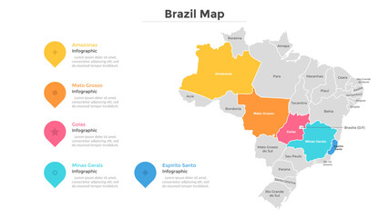 Modern Infographic Templatefavorite_border favorite
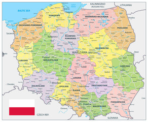 Poland Detail Administrative Map and roadsfavorite_border favorite
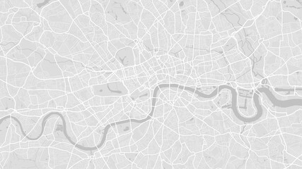 White and light grey London city area vector background map, streets and water cartography illustration.favorite_border favorite
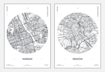 Travel poster, urban street plan city map Warsaw and Krakow, vector illustrationfavorite_border favorite
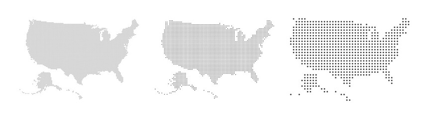 Abstract USA or United States of America Map with dot Pixel Spot Modern Concept Design Isolated on White background Vector illustration.favorite_border favorite
 Map world. Vector. Country. Earth Globefavorite_border favorite
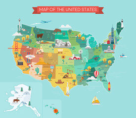 USA tourist map with famous landmarks and state names.favorite_border favorite
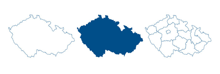 Czech Republic map vector. High detailed vector outline, blue silhouette and administrative divisions map of Czech Republic. All isolated on white backgroundfavorite_border favorite
 360 degree panorama of modern futuristic technology station space ship sci-fi laboratory. 3d render illustration hdr hdri vr virtual reality environment mapfavorite_border favorite
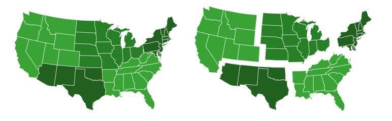 US map with hollow outlinefavorite_border favorite
 Black and white map of japan with pixelated design elements onfavorite_border favorite
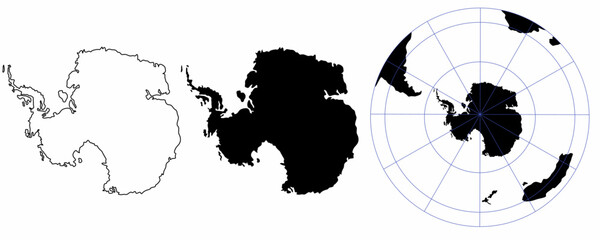 antarctica map set isolated on white backgroundfavorite_border favorite
 3D Realistic Location map pin gps pointer markers vector illustration for destination.favorite_border favorite
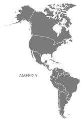 America with countries Map greyfavorite_border favorite
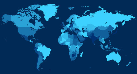 World map with countries on blue backgroundfavorite_border favorite
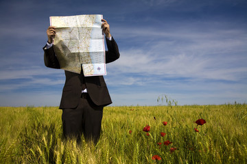 businessman lost in field using a mapfavorite_border favorite
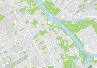 vector city map of Warsaw, Polandfavorite_border favorite
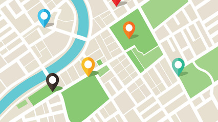 An overhead view of a city map with several colorful location pin markersfavorite_border favorite
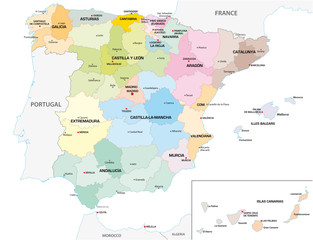 Colored administrative and political vector map of the Spanish provinces and regionsfavorite_border favorite
 location pin symbol green and white color map marker silhouette vectorfavorite_border favorite
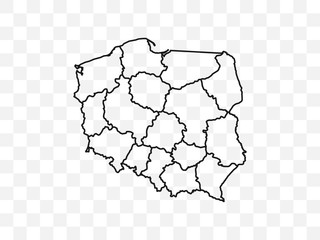 Poland map on transparent background. Vector illustration.favorite_border favorite
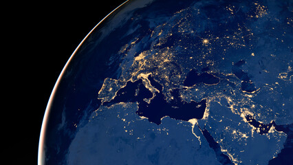 Earth photo at night, City Lights of Europe, Middle East, Turkey, Italy, Black Sea, Mediterrenian Sea from space, World map globe. Satellite HD photo. Elements of this image furnished by NASA.favorite_border favorite
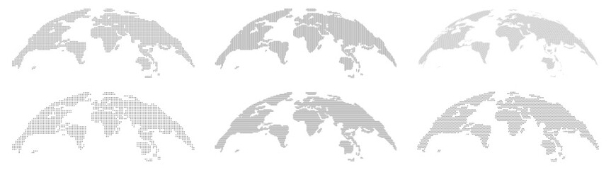 Globe world map with continents, isolated rounded hemispheres of Earth digital dots set. Business or political worldwide display, monochrome countries. Vector in flat stylefavorite_border favorite
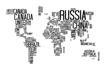 World Map with Countries name text, World Map Letter, World Map Typographyfavorite_border favorite
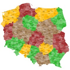 Polen Landkarte im Detailfavorite_border favorite
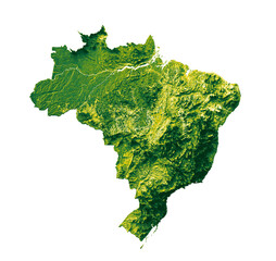 Brazil map with the flag Colors Red and yellow Shaded relief map 3d illustrationfavorite_border favorite
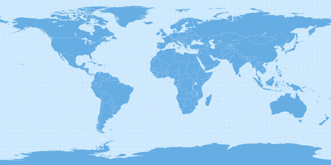 World map in equirectangular projection (equidistant cylindrical projection, geographic projection, EPSG:4326). Detailed vector Earth map with countries’ borders and 5-degree grid.favorite_border favorite
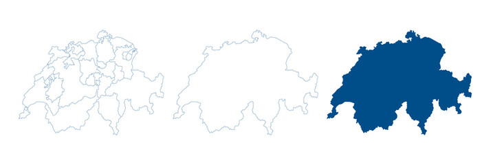 Switzerland map vector. High detailed vector outline, blue silhouette and administrative divisions map of Switzerland. All isolated on white background. Template for website, design, cover.favorite_border favorite
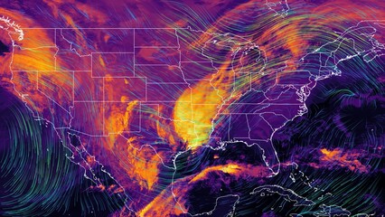 Satellite weather map over North America overlayed with wind streamlines. Satellite data provided by EUMETSAT.favorite_border favorite
 Vector road map of the city of Torun in Poland with black roads on a white background.favorite_border favorite
 Navigation mapfavorite_border favorite
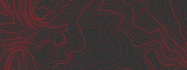 The stylized height of the topographic map contour in lines and contours. The concept of a conditional geography scheme and the terrain path. Red on black. Ultra wide size. Vector illustration.favorite_border favorite
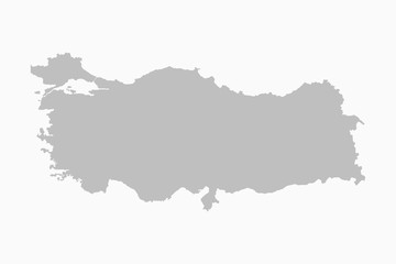 Turkey country map flat background vector templatefavorite_border favorite
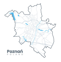 Urban Poznań map. Detailed map of Poznan, Poland. City poster with streets and Warta River. Light stroke version.favorite_border favorite
 set of location icons.modern map markers. Vector illustration on a white backgroundfavorite_border favorite
 グレースケールのスタイリッシュな地図素材セット 道路・線路はアピアランス分割なし 線幅変更可能favorite_border favorite
 GPS mark on the road map.favorite_border favorite
 Set of location pin icons. location pin place marker. Location icon. Map marker pointer icon set. Modern map markers. Pin icon vector isolated on white background. Vector illustration, eps 10.favorite_border favorite
 Old geographical map of the world of the 18 century. Collage. A good background for design on the theme of travel, geography, history, voyage, etc. Ancient map background.favorite_border favorite
 Illustration of a world map made of dots on a white background. Horizontal bannerfavorite_border favorite
 United Kingdom map. England, Scotland, Wales, Northern Ireland. Vector Great Britain map wit UK flag isolated on white background.favorite_border favorite
 Urban vector city map of Lodz, Polandfavorite_border favorite
 Dotted path with points. isolated on white background. Vector illustration. EPS 10 .favorite_border favorite
 Map of Europe with countries. Just a simple continent border map with country division. Light blue color palette. Plain Europe shape with administrative division. Vector illustration.favorite_border favorite
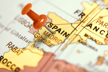 Location Spain. Red pin on the map.favorite_border favorite
 3d map of world Template for your designfavorite_border favorite
 World logistic delivery concept. Global export and import airlinnes. Smart airplane tracking. Ecommerce trade service infographic.favorite_border favorite
 Blank old dirty paper background and texturefavorite_border favorite
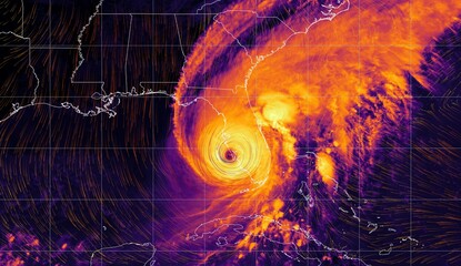 Hurricane Ian - colorful satellite weather map overlayed with wind streams. Satellite data provided by EUMETSAT.favorite_border favorite
 Katowice map. Detailed map of Katowice city poster with streets. Cityscape vector.favorite_border favorite
 Terrain map. Contours trails, image grid geographic relief topographic contour line maps cartography texture, vector illustrationfavorite_border favorite
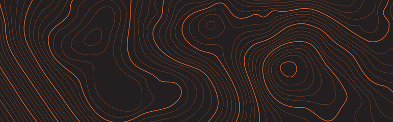 The stylized height of the topographic map contour in lines and contours. The concept map of a conditional geography scheme and the terrain path. Isolated Object. Ultra Wide size. Vector illustration.favorite_border favorite
 Fantasy map elements illustration, drawing, engraving, ink, line art, vectorfavorite_border favorite
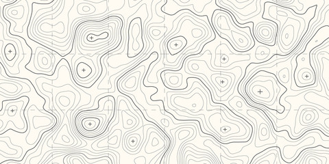 Geographic topographic map grid. Topography map background. Vector banner.favorite_border favorite
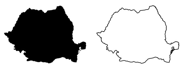 Simple (only sharp corners) map of Romania vector drawing. Mercator projection. Filled and outline version.favorite_border favorite
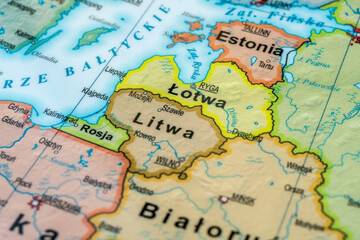 The Baltic Sea countries, NATO frontier countries, NATO-Russia border, the Suwalki pass, Polish language version mapfavorite_border favorite
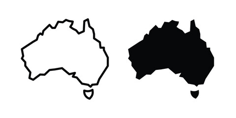 Australia map icon clipart and thin stroke versions packfavorite_border favorite
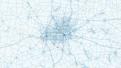 Modern minimalist vector map of Dallas, Texas, USA. High-quality scalable illustration of Dallas city grid, downtown, and DFW metroplex for posters and urban design.favorite_border favorite
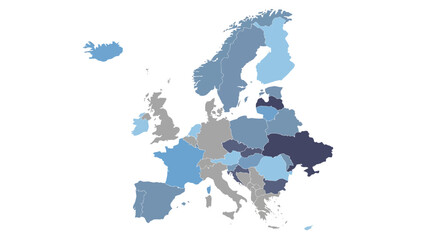 Stylized European Map for Data Visualization and Regional Analysis with Blue Tonesfavorite_border favorite
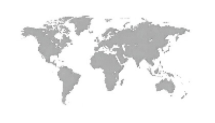 Black and white illustration of a world map in a pixelated stylefavorite_border favorite
 High detailed Eurasia map isolated on a white background. Europe, Asia background. Map of Eurasia. Vector illustrationfavorite_border favorite
 Three map and magnifying glass icons: silhouette, outline, and sketch.favorite_border favorite
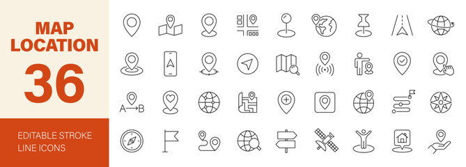 Map Location icon set. Containing pin, flag, GPS, destination, direction, distance, place, navigation, route, road, marker, address, position and more. Editable line icons. Vector illustration.favorite_border favorite
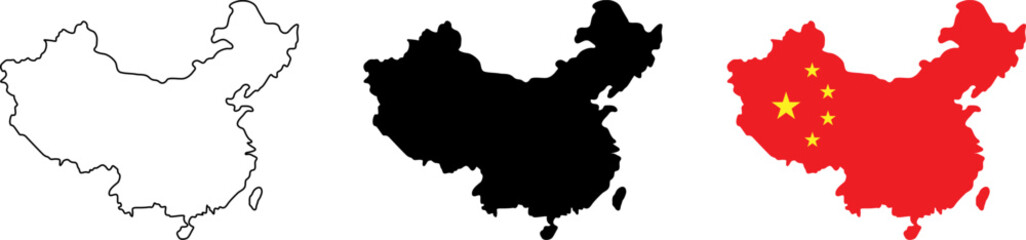 Visual representation of china with different map styles and national flag elementsfavorite_border favorite
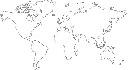 Hand drawn world map illustration, colorful vector of world map line art, doodles for poster, travel, print, business, vector illustration of global map.favorite_border favorite
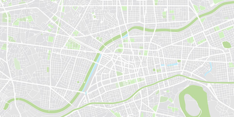 City map illustration pale gray and green color scheme overhead perspectivefavorite_border favorite
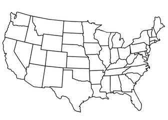 usa country mapfavorite_border favorite
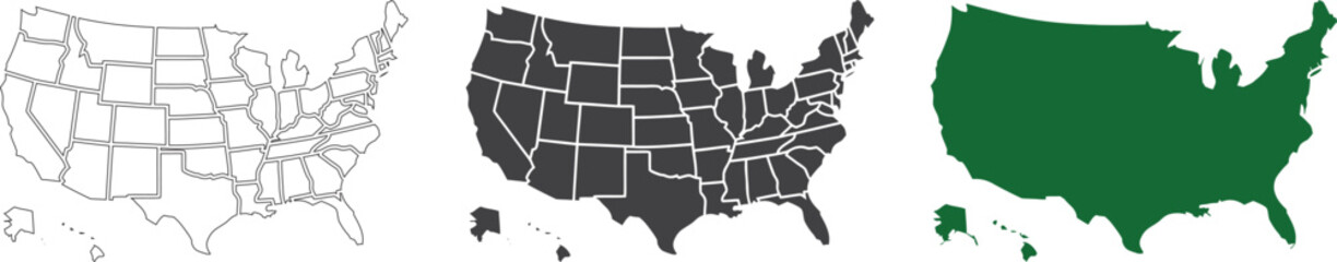 USA map collection with state boundaries outline filled and solid silhouette styles in vector format. Detailed United States geographic maps including Alaska and Hawaii. Clean cartography designfavorite_border favorite
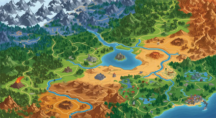 Fantasy game world map vector, isometric RPG adventure landscape with diverse biomes, colorful strategy game map with mountains forests and desert terrainfavorite_border favorite
 Abstract blue topographic map background with light contour lines organic minimalist terrain texture for water designfavorite_border favorite
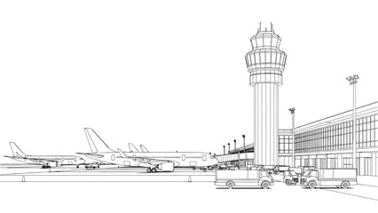 2D AutoCAD Vector illustration of airplanes parked at airport terminal with control towerfavorite_border favorite
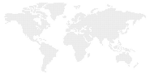 Worldwide map with dots in flat style. Dotted world map vector illustration on isolated background. Continent cartography sign business concept.favorite_border favorite
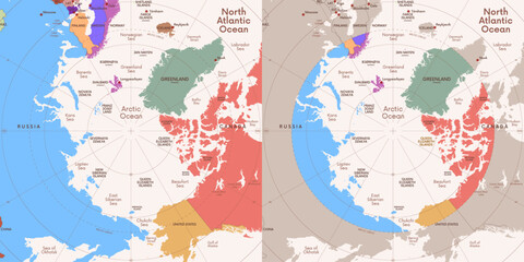 Colored political map of the Arctic Ocean region with countries and capitals within the Arctic Circle, geographic location of the Earth North Pole, vector map with latitude and longitudefavorite_border favorite
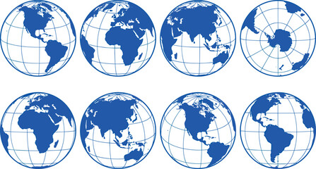 Planet earth world map globe sphere vector illustration set featuring blue geographic continents, latitude longitude grid lines, and global navigation perspective views.favorite_border favorite
 Map marker icon on white background.favorite_border favorite
 Horizontal antique stained parchment paper with torn edgesfavorite_border favorite
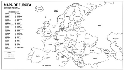 Detailed political map of the European continent featuring clearly defined national borders and country names written in Spanish language printed as a black line on transparent backgroundfavorite_border favorite
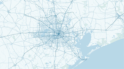 Modern minimalist vector map of Houston, Texas. High-quality SVG illustration of Houston city grid, highway loops, and urban layout for posters and architectural design.favorite_border favorite
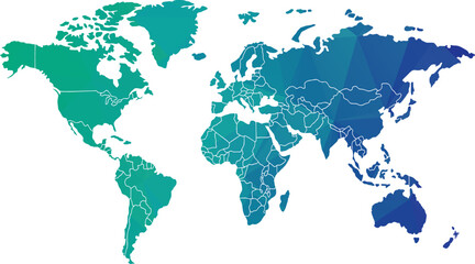 Geometric World Map Vector, Global Continents, Teal Blue Green Gradient vector illustrationfavorite_border favorite
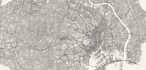 City street and transportation map of Tokyo, Japan, in black and light beige. High resolution full frame minimalist poster style road map or urban street plan of Tokyo. Vintage look.favorite_border favorite
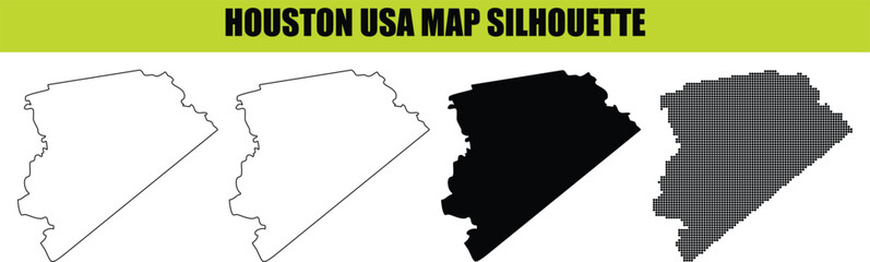 Houston usa map silhouette isolated vector illustration design for creative graphic projects web print media files.favorite_border favorite
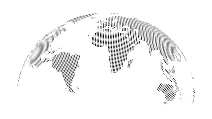 Abstract Dotted World Map with Curved Horizon and Perspective - Minimalist Halftone Global Data Vectorfavorite_border favorite
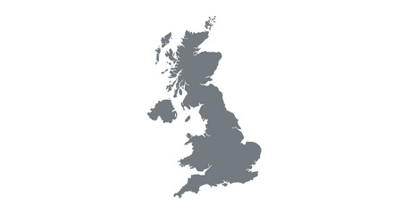 A simplified grayscale map depicts the british isles showcasing the outlines of great britain and ireland high qualityfavorite_border favorite
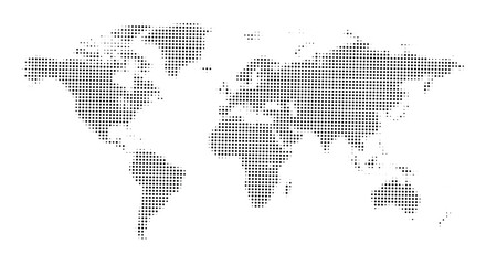 world map halftone dotted globe background black dot earth vector illustrationfavorite_border favorite
 Vector illustration. Topographic map templates. Contour lines, dotted paths, and pin icons on a perspective grid background. Minimalist vintage design for social media background, web bannerfavorite_border favorite
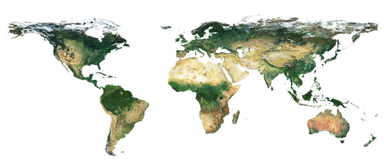 High resolution satellite image of Earth. Panoramic planet map with texture surface. World map, Earth flat view on white background or Detailed global world physical map illustration.favorite_border favorite
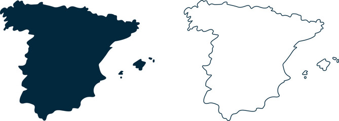 Spain country map in dark blue and white outline on transparent backgroundfavorite_border favorite
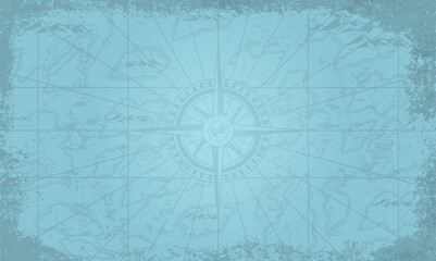 Vintage style map with compass rose designfavorite_border favorite
 Red map pin icon representing a location marker pngfavorite_border favorite
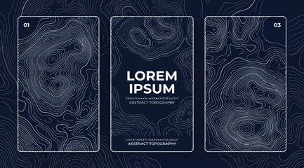 Set of three vertical banners with abstract topographic map contour lines on dark blue backgroundfavorite_border favorite
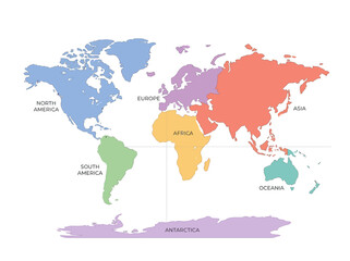 Colorful world map with labeled continents and global regionsfavorite_border favorite
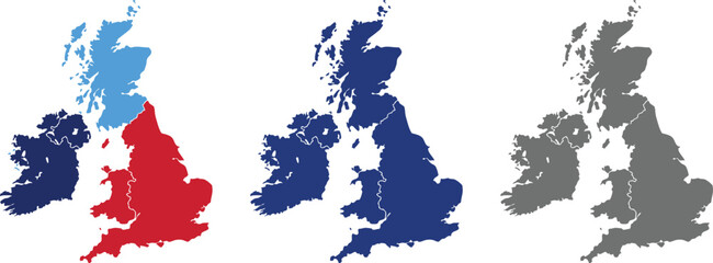 United Kingdom Map Vector Illustration. Set of 4 political maps Flag Colors, Blue Silhouette UK Country Outline Isolated on Transperant Background.favorite_border favorite
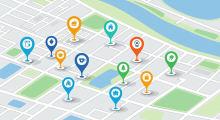 Vector isometric city map with colorful location pins, navigation, GPS, travel, and delivery concept illustrationfavorite_border favorite
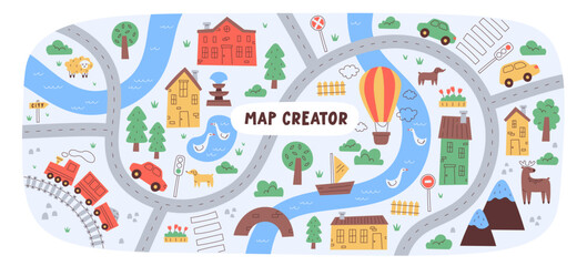 Childish city map creator seamless pattern with different transport on road and house buildingfavorite_border favorite
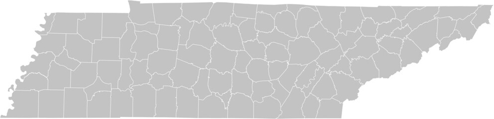 Tennessee vector map with county boundaries (Web Mercator projection, PPT-compatible & fully editable)favorite_border favorite
 Map Location Pin Icon for Navigation, Destination, GPS, and Geographic Tracking - Vector Illustrationfavorite_border favorite
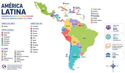 Detailed colorful infographic map showing geographical layout and statistical data for all Latin American and Caribbean countries including numbered regions and labels on transparent backgroundfavorite_border favorite
 Poland map icon. Poland border. Country flag sign. Europe geography. Vector illustration.favorite_border favorite