-
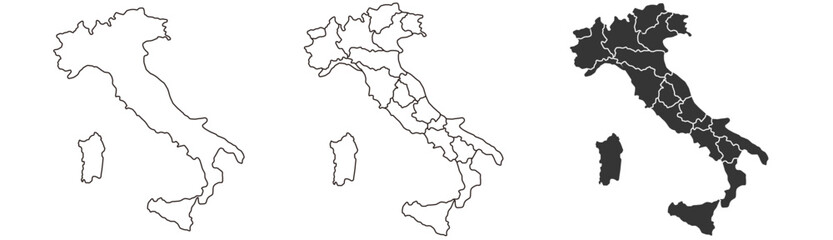
Italy map – vector illustration of regions and political borders
Do ulubionych favorite_border
Usuń z ulubionych favorite
-
Isometric pixel art game assets collection, fantasy world map building elements, medieval landscape tiles and nature sprites vector set
Do ulubionych favorite_border
Usuń z ulubionych favorite
-
El mapa meteorológico muestra intensas precipitaciones en Norte America, destacando los importantes patrones de lluvia de la región.
Do ulubionych favorite_border
Usuń z ulubionych favorite
-
Overhead view of diverse women collaborating on a map with phones and laptop
Do ulubionych favorite_border
Usuń z ulubionych favorite
-
Australia map icon simple illustration set. Black and white icons
Do ulubionych favorite_border
Usuń z ulubionych favorite
-
Aerial view of a colorful campus map with buildings and green spaces.
Do ulubionych favorite_border
Usuń z ulubionych favorite
-
Brazil map in three styles dotted silhouette and outline on white background country South America
Do ulubionych favorite_border
Usuń z ulubionych favorite
-
Middle East map set. Black silhouette map and colored detailed map. Vector on white background.
Do ulubionych favorite_border
Usuń z ulubionych favorite
-
Locator position point. GPS tracking system to navigate around the city landmarks. Detailed city street map with directions to different locations. Vector illustration
Do ulubionych favorite_border
Usuń z ulubionych favorite
-
Dot matrix world map illustration depicting global geography and continents
Do ulubionych favorite_border
Usuń z ulubionych favorite
-
Senior executive using laptop demonstrating Leadership vision on a virtual screen with growth graphs. A world map shows team locations. Guiding global strategy and inspiring high impact.
Do ulubionych favorite_border
Usuń z ulubionych favorite
-
Political middle east asia map, infographic. Detailed middle east arab asia map territory, regional nations. Global asia map middle east borders. Iran, Israel, Saudi Arabia. Vector Illustration
Do ulubionych favorite_border
Usuń z ulubionych favorite
-
Australia map, Australia country vector map in white background.Australia map background with states.Australia political map. High detailed. Solid simple style. Black and white. Vector editable.
Do ulubionych favorite_border
Usuń z ulubionych favorite
-
Location pin icon. Minimal map marker vector for navigation apps. Geotag pointer marking place and position symbol. Clean destination point sign pictogram concept.
Do ulubionych favorite_border
Usuń z ulubionych favorite
-
Gray silhouette of a world map showing all continents on a plain white background. Vector
Do ulubionych favorite_border
Usuń z ulubionych favorite
-
Line map dash for dot route point and stroke line doodle. Travel curve editable for location road spiral and swirl point vector. Line white background for dot graphic curly and route.
Do ulubionych favorite_border
Usuń z ulubionych favorite
-
Ancient abstract earth relief old map. Generated conceptual vector elevation map of fantasy landscape.
Do ulubionych favorite_border
Usuń z ulubionych favorite
-
Vector illustration. Topographic map concept. Set of minimal square banners with retro graphics, marks, and trails. Line art pattern design on textured paper. Design for web banner, social media
Do ulubionych favorite_border
Usuń z ulubionych favorite
-
Latin america map set in three styles, outline black and purple vector illustration with borders
Do ulubionych favorite_border
Usuń z ulubionych favorite
-
India map dotted vector set with white and black halftone dot pattern design for travel poster banner background social media post infographic geography presentation illustration
Do ulubionych favorite_border
Usuń z ulubionych favorite
-
Topographic contour lines grid map pattern design.topography white background and black line wireframe isoline location diagram world map texture design.geographic grid map.
Do ulubionych favorite_border
Usuń z ulubionych favorite
-
Global business and technology network with dotted world map
Do ulubionych favorite_border
Usuń z ulubionych favorite
-
Detailed vector map of North America with states and provinces. Map of The USA and Canada: Detailed, Editable, Black, Transparent and White Versions.
Do ulubionych favorite_border
Usuń z ulubionych favorite
-
Location mark icon set with modern map markers, destination pointers, and navigation symbols for GPS applications and vector illustration projects.
Do ulubionych favorite_border
Usuń z ulubionych favorite
-
Iran location on the world map with pin location marker2. Vector flat template.
Do ulubionych favorite_border
Usuń z ulubionych favorite
-
Africa continent map silhouette in grunge ink splatter style
Do ulubionych favorite_border
Usuń z ulubionych favorite
-
Location map pin icons set, Map marker pointer icon collection vector.
Do ulubionych favorite_border
Usuń z ulubionych favorite
-
Top down map elements with river grass trees and rocks for game design
Do ulubionych favorite_border
Usuń z ulubionych favorite
-
A collection of 8 map pin icons in various colors and line styles for navigation and location based applications
Do ulubionych favorite_border
Usuń z ulubionych favorite
-
World map with continents and Pacific Ocean labeled on white background
Do ulubionych favorite_border
Usuń z ulubionych favorite
-
United States map in black, outline and halftone dots style vector illustration.
Do ulubionych favorite_border
Usuń z ulubionych favorite
-
Seamless Light topographic topo contour map background, vector illustration .. Modern design with White background with topographic wavy pattern design.paper texture Imitation of a geographical map.
Do ulubionych favorite_border
Usuń z ulubionych favorite
-
City location pin with buildings inside a red map marker icon
Do ulubionych favorite_border
Usuń z ulubionych favorite
-
Colorful map of the united states of america with clearly labeled state names and detailed geographical information displayed in a vibrant flat style on transparent background
Do ulubionych favorite_border
Usuń z ulubionych favorite
-
North direction icon set, compass navigation symbols, north arrow indicators, map and location signs, downward arrow icons, modern vector illustration for digital interface design.
Do ulubionych favorite_border
Usuń z ulubionych favorite
-
Dark Burnt Edge Parchment Paper Texture Isolated on Transparent Background Antique Blank Scroll for Treasure Map
Do ulubionych favorite_border
Usuń z ulubionych favorite
-
Detailed vector map of the African continent showing country borders in both outline and filled versions vector illustration
Do ulubionych favorite_border
Usuń z ulubionych favorite
-
Black and white pixelated world map on with grid pattern
Do ulubionych favorite_border
Usuń z ulubionych favorite
-
Set of vector maps of India with prefecture boundaries in three styles.
Do ulubionych favorite_border
Usuń z ulubionych favorite
-
Curved World map earth globe with dot pattern. Halftone pixel texture, isolated world map. Vector international business, travel abstract political concept
Do ulubionych favorite_border
Usuń z ulubionych favorite
-
Isometric map with a large red location pointer indicating a specific destination or GPS coordinate
Do ulubionych favorite_border
Usuń z ulubionych favorite
-
Poland country border map outline and silhouette vector graphic isolated image decal
Do ulubionych favorite_border
Usuń z ulubionych favorite
-
Large set of flat nature landscape elements including green trees mountains hills bushes and winding paths for outdoor map creation
Do ulubionych favorite_border
Usuń z ulubionych favorite
-
World map vector illustration, detailed countries and state borders with accurate contours, isolated on white background, global geography reference design, professional political map graphic for info
Do ulubionych favorite_border
Usuń z ulubionych favorite
-
USA political map vector set with detailed state outlines, blank and filled high contrast United States maps for infographic design, geographic visualization, education, data mapping, and graphic proj
Do ulubionych favorite_border
Usuń z ulubionych favorite
-
India Political Map Vector Set with States
Do ulubionych favorite_border
Usuń z ulubionych favorite
-
Blue world map with highlighted countries and labels
Do ulubionych favorite_border
Usuń z ulubionych favorite
-
Direction outline icon set: editable stroke linear map symbols for navigation and travel
Do ulubionych favorite_border
Usuń z ulubionych favorite
-
Stylized black halftone world map illustration on a clean white background, perfect for global business and technology designs.
Do ulubionych favorite_border
Usuń z ulubionych favorite
-
USA map dotted halftone vector illustration blue white monochrome isolated background infographic graphic design template
Do ulubionych favorite_border
Usuń z ulubionych favorite
-
Black silhouette map of Indonesia a minimalist vector illustration for geography travel and business concepts isolated on white background
Do ulubionych favorite_border
Usuń z ulubionych favorite
-
Modern minimalist vector map of Montreal, Quebec, Canada. High-quality scalable illustration of Montreal island, Saint Lawrence River, and city grid for posters and urban design.
Do ulubionych favorite_border
Usuń z ulubionych favorite
-
Modern airplane flying over digital global map at night
Do ulubionych favorite_border
Usuń z ulubionych favorite
-
Location pin on map and person icon set with location navigation position tracking destination
Do ulubionych favorite_border
Usuń z ulubionych favorite
-
Black and white world map with country borders
Do ulubionych favorite_border
Usuń z ulubionych favorite
-
Topographic line contour map background, geographic grid map.Abstract lines background. Contour maps topo contour map on white background, Topographic contour lines.
Do ulubionych favorite_border
Usuń z ulubionych favorite
-
colorful india map with different states
Do ulubionych favorite_border
Usuń z ulubionych favorite
-
Do ulubionych favorite_border
Usuń z ulubionych favorite
-
Lodz map. Lodz city map poster. Map of Lodz street, urban area.
Do ulubionych favorite_border
Usuń z ulubionych favorite
-
australia map design vector illustration on white backfround.
Do ulubionych favorite_border
Usuń z ulubionych favorite
-
World map sketch for coloring
Do ulubionych favorite_border
Usuń z ulubionych favorite
-
Berlin, Germany downtown street map
Do ulubionych favorite_border
Usuń z ulubionych favorite
-
Do ulubionych favorite_border
Usuń z ulubionych favorite
-
World map in grey color on white background. High detail blank political map. Vector illustration with labeled compound path of each country.
Do ulubionych favorite_border
Usuń z ulubionych favorite
-
Do ulubionych favorite_border
Usuń z ulubionych favorite
-
World map projection is showing continents, oceans, ice caps in flat design, transparent background
Do ulubionych favorite_border
Usuń z ulubionych favorite
-
Editable vector file of the continental United States.
Do ulubionych favorite_border
Usuń z ulubionych favorite
-
Earth photo at night, City Lights of Europe, Middle East, Turkey, Italy, Black Sea, Mediterrenian Sea from space, World map on dark globe on satellite HD photo.Elements of this image furnished by NASA
Do ulubionych favorite_border
Usuń z ulubionych favorite
-
Travel around the world play mat for children. Baby land map vector seamless pattern. Kid carpet with cute doodle roads, nature, city, village, forest, sea and wild animals
Do ulubionych favorite_border
Usuń z ulubionych favorite
-
city map with Pin Pointers 3d rendering image
Do ulubionych favorite_border
Usuń z ulubionych favorite
-
City map with some location tags
Do ulubionych favorite_border
Usuń z ulubionych favorite
-
Outline and solid black silhouette maps of the African continent
Do ulubionych favorite_border
Usuń z ulubionych favorite
-
Abstract wavy topographic map. Abstract wavy and curved lines background. Abstract geometric topographic contour map background.
Do ulubionych favorite_border
Usuń z ulubionych favorite
-
Guatemala extruded and capital labelled. Satellite
Do ulubionych favorite_border
Usuń z ulubionych favorite
-
Monochrome city map with road network of Rome
Do ulubionych favorite_border
Usuń z ulubionych favorite
-
Map of Warszawa city. Roads
Do ulubionych favorite_border
Usuń z ulubionych favorite
-
Do ulubionych favorite_border
Usuń z ulubionych favorite
-
spain province map with 2-digit zip codes
Do ulubionych favorite_border
Usuń z ulubionych favorite
-
Germany map municipal, region, state division. Administrative borders, outline black on white background vector.
Do ulubionych favorite_border
Usuń z ulubionych favorite
-
Weltkarte auf Deutsch - Vintage retro stil - Vektorisiert texte : länder, hauptstädte, inseln, meere...
Do ulubionych favorite_border
Usuń z ulubionych favorite
-
US map icon graphic design. Vector icon illustrations
Do ulubionych favorite_border
Usuń z ulubionych favorite
-
New Zealand highlighted. High-res satellite map
Do ulubionych favorite_border
Usuń z ulubionych favorite
-
California map on white background vector
Do ulubionych favorite_border
Usuń z ulubionych favorite
-
Tunisia political map of administrative divisions
Do ulubionych favorite_border
Usuń z ulubionych favorite
-
Detailed world map outline displaying political borders for geographical analysis and exploration
Do ulubionych favorite_border
Usuń z ulubionych favorite
-
Detailed map of Warsaw - the capital of Poland - Urban borders map. Light stroke version on dark background of City poster with streets and Vistula River.
Do ulubionych favorite_border
Usuń z ulubionych favorite
-
Abstract mesh line and point scales on dark background with map Of Spain. Wire frame 3D mesh polygonal network line, design sphere, dot and structure. Vector illustration eps 10.
Do ulubionych favorite_border
Usuń z ulubionych favorite
-
geological map as a background close-up in green colors
Do ulubionych favorite_border
Usuń z ulubionych favorite
-
Administracyjna mapa polski
Do ulubionych favorite_border
Usuń z ulubionych favorite
-
Do ulubionych favorite_border
Usuń z ulubionych favorite
-
Rest in the park map infographic elements in flat vector design. People spend time relax in nature. Men, women and children rest, jog, ride the bicycle, skateboard. Park map with tree, lamp, bench
Do ulubionych favorite_border
Usuń z ulubionych favorite
-
Set of Cyprus map isolated on white background, vector illustration design
Do ulubionych favorite_border
Usuń z ulubionych favorite
-
Europe Map Black European Border Continent Transparent Isolated Variations
Do ulubionych favorite_border
Usuń z ulubionych favorite
-
Poland, satellite B - dark glow
Do ulubionych favorite_border
Usuń z ulubionych favorite
-
Europe at night from space, city lights, elements from NASA
Do ulubionych favorite_border
Usuń z ulubionych favorite
-
Do ulubionych favorite_border
Usuń z ulubionych favorite
-
North Pole, Greenland. Vector Detailed Illustration. Arctic map
Do ulubionych favorite_border
Usuń z ulubionych favorite
-
european union map blue color with stars without england
Do ulubionych favorite_border
Usuń z ulubionych favorite
-
White and light grey Poznań city area vector background map, roads and water illustration. Widescreen proportion, digital flat design.
Do ulubionych favorite_border
Usuń z ulubionych favorite
-
Planisphère Mappemonde Vintage - Textes en français. Vecteur CMJN
Do ulubionych favorite_border
Usuń z ulubionych favorite
 Italy map – vector illustration of regions and political bordersfavorite_border favorite
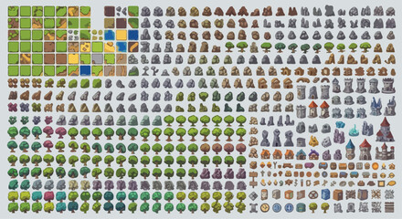 Isometric pixel art game assets collection, fantasy world map building elements, medieval landscape tiles and nature sprites vector setfavorite_border favorite
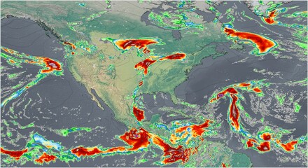 El mapa meteorológico muestra intensas precipitaciones en Norte America, destacando los importantes patrones de lluvia de la región.favorite_border favorite
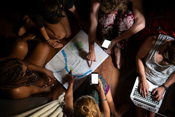 Overhead view of diverse women collaborating on a map with phones and laptopfavorite_border favorite
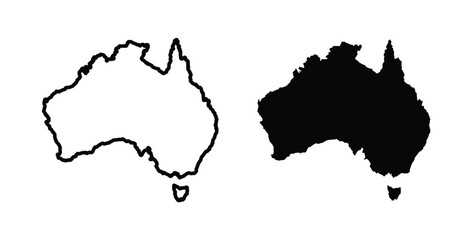 Australia map icon simple illustration set. Black and white iconsfavorite_border favorite
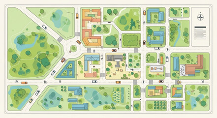 Aerial view of a colorful campus map with buildings and green spaces.favorite_border favorite
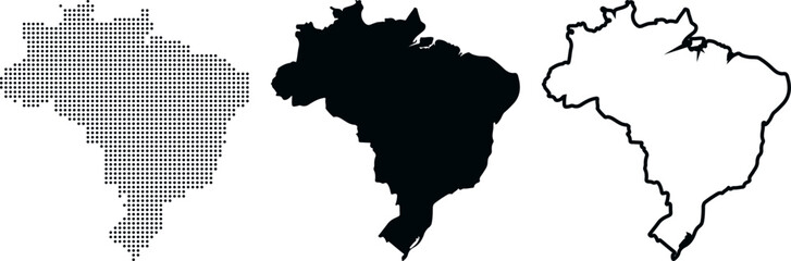 Brazil map in three styles dotted silhouette and outline on white background country South Americafavorite_border favorite
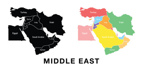 Middle East map set. Black silhouette map and colored detailed map. Vector on white background.favorite_border favorite
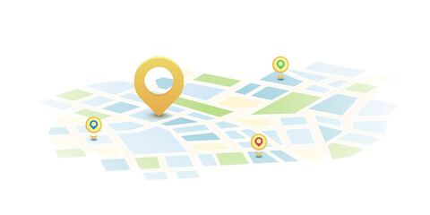 Locator position point. GPS tracking system to navigate around the city landmarks. Detailed city street map with directions to different locations. Vector illustrationfavorite_border favorite
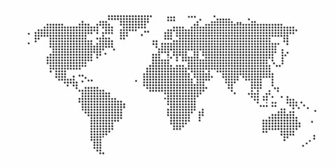 Dot matrix world map illustration depicting global geography and continentsfavorite_border favorite
 Senior executive using laptop demonstrating Leadership vision on a virtual screen with growth graphs. A world map shows team locations. Guiding global strategy and inspiring high impact.favorite_border favorite
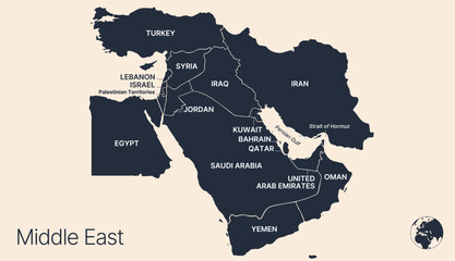 Political middle east asia map, infographic. Detailed middle east arab asia map territory, regional nations. Global asia map middle east borders. Iran, Israel, Saudi Arabia. Vector Illustrationfavorite_border favorite
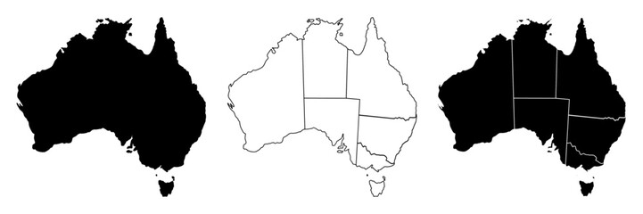 Australia map, Australia country vector map in white background.Australia map background with states.Australia political map. High detailed. Solid simple style. Black and white. Vector editable.favorite_border favorite
 Location pin icon. Minimal map marker vector for navigation apps. Geotag pointer marking place and position symbol. Clean destination point sign pictogram concept.favorite_border favorite
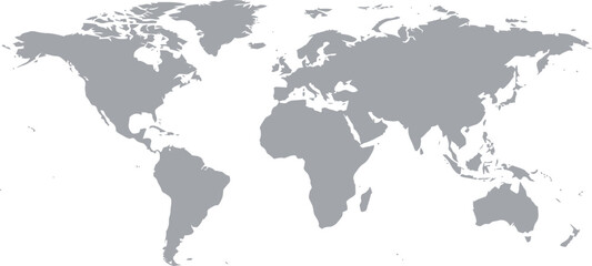 Gray silhouette of a world map showing all continents on a plain white background. Vectorfavorite_border favorite
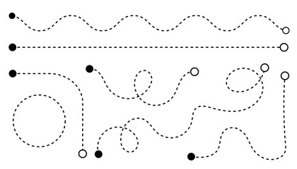 Line map dash for dot route point and stroke line doodle. Travel curve editable for location road spiral and swirl point vector. Line white background for dot graphic curly and route.favorite_border favorite
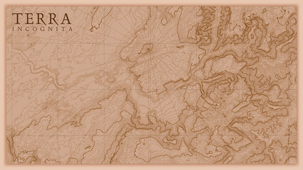 Ancient abstract earth relief old map. Generated conceptual vector elevation map of fantasy landscape.favorite_border favorite
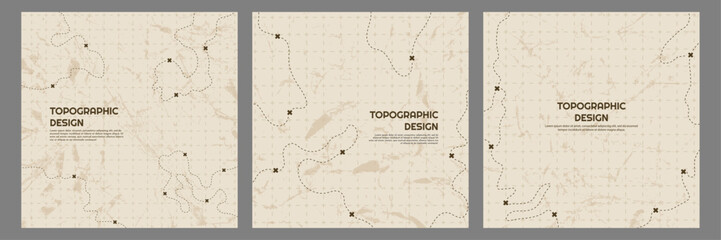 Vector illustration. Topographic map concept. Set of minimal square banners with retro graphics, marks, and trails. Line art pattern design on textured paper. Design for web banner, social mediafavorite_border favorite
 Latin america map set in three styles, outline black and purple vector illustration with bordersfavorite_border favorite
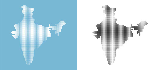 India map dotted vector set with white and black halftone dot pattern design for travel poster banner background social media post infographic geography presentation illustrationfavorite_border favorite
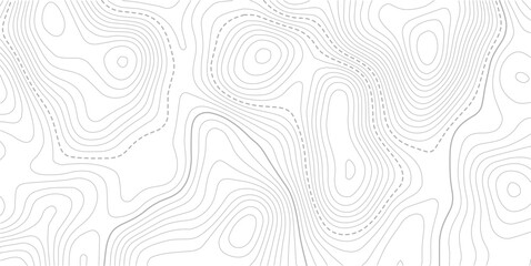 Topographic contour lines grid map pattern design.topography white background and black line wireframe isoline location diagram world map texture design.geographic grid map.favorite_border favorite
 Global business and technology network with dotted world mapfavorite_border favorite
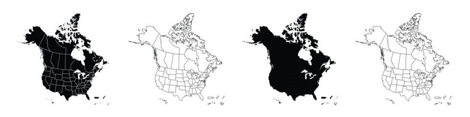 Detailed vector map of North America with states and provinces. Map of The USA and Canada: Detailed, Editable, Black, Transparent and White Versions.favorite_border favorite
 Location mark icon set with modern map markers, destination pointers, and navigation symbols for GPS applications and vector illustration projects.favorite_border favorite
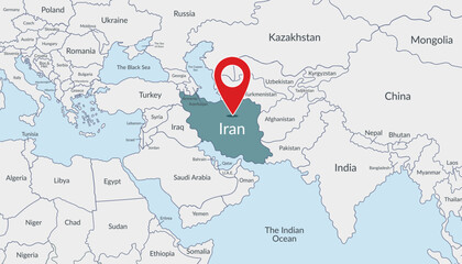 Iran location on the world map with pin location marker2. Vector flat template.favorite_border favorite
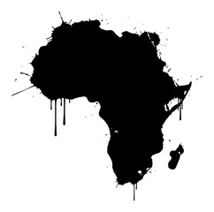 Africa continent map silhouette in grunge ink splatter stylefavorite_border favorite
 Location map pin icons set, Map marker pointer icon collection vector.favorite_border favorite
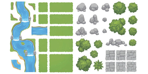 Top down map elements with river grass trees and rocks for game designfavorite_border favorite
 A collection of 8 map pin icons in various colors and line styles for navigation and location based applicationsfavorite_border favorite
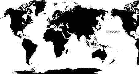 World map with continents and Pacific Ocean labeled on white backgroundfavorite_border favorite
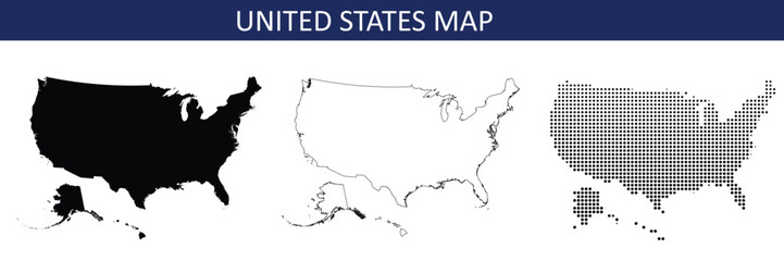 United States map in black, outline and halftone dots style vector illustration.favorite_border favorite
 Seamless Light topographic topo contour map background, vector illustration .. Modern design with White background with topographic wavy pattern design.paper texture Imitation of a geographical map.favorite_border favorite
 City location pin with buildings inside a red map marker iconfavorite_border favorite
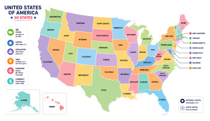 Colorful map of the united states of america with clearly labeled state names and detailed geographical information displayed in a vibrant flat style on transparent backgroundfavorite_border favorite
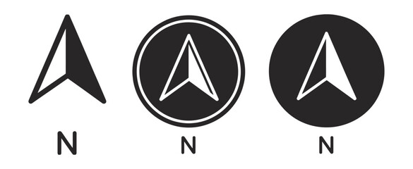 North direction icon set, compass navigation symbols, north arrow indicators, map and location signs, downward arrow icons, modern vector illustration for digital interface design.favorite_border favorite
 Dark Burnt Edge Parchment Paper Texture Isolated on Transparent Background Antique Blank Scroll for Treasure Mapfavorite_border favorite
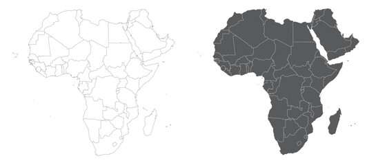 Detailed vector map of the African continent showing country borders in both outline and filled versions vector illustrationfavorite_border favorite
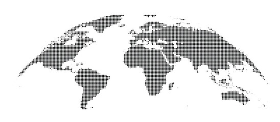 Black and white pixelated world map on with grid patternfavorite_border favorite
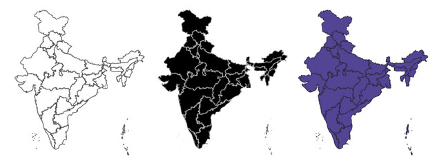 Set of vector maps of India with prefecture boundaries in three styles.favorite_border favorite
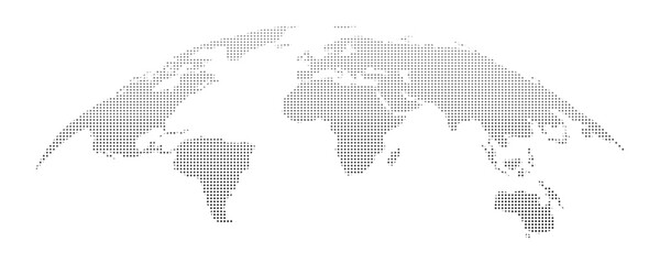 Curved World map earth globe with dot pattern. Halftone pixel texture, isolated world map. Vector international business, travel abstract political conceptfavorite_border favorite
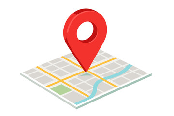 Isometric map with a large red location pointer indicating a specific destination or GPS coordinatefavorite_border favorite
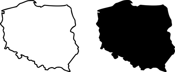 Poland country border map outline and silhouette vector graphic isolated image decalfavorite_border favorite
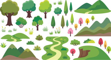 Large set of flat nature landscape elements including green trees mountains hills bushes and winding paths for outdoor map creationfavorite_border favorite
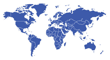 World map vector illustration, detailed countries and state borders with accurate contours, isolated on white background, global geography reference design, professional political map graphic for infofavorite_border favorite
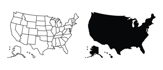 USA political map vector set with detailed state outlines, blank and filled high contrast United States maps for infographic design, geographic visualization, education, data mapping, and graphic projfavorite_border favorite
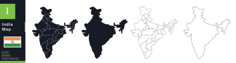 India Political Map Vector Set with Statesfavorite_border favorite
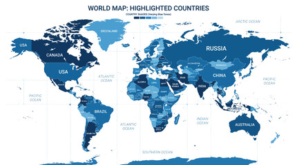 Blue world map with highlighted countries and labelsfavorite_border favorite
 Direction outline icon set: editable stroke linear map symbols for navigation and travelfavorite_border favorite
 Stylized black halftone world map illustration on a clean white background, perfect for global business and technology designs.favorite_border favorite
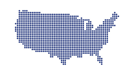 USA map dotted halftone vector illustration blue white monochrome isolated background infographic graphic design templatefavorite_border favorite
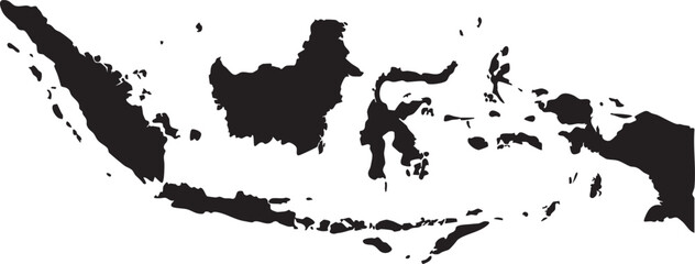 Black silhouette map of Indonesia a minimalist vector illustration for geography travel and business concepts isolated on white backgroundfavorite_border favorite
 Modern minimalist vector map of Montreal, Quebec, Canada. High-quality scalable illustration of Montreal island, Saint Lawrence River, and city grid for posters and urban design.favorite_border favorite
 Modern airplane flying over digital global map at nightfavorite_border favorite
 Location pin on map and person icon set with location navigation position tracking destinationfavorite_border favorite
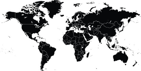 Black and white world map with country bordersfavorite_border favorite
 Topographic line contour map background, geographic grid map.Abstract lines background. Contour maps topo contour map on white background, Topographic contour lines.favorite_border favorite
 colorful india map with different statesfavorite_border favorite
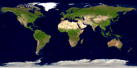 Erde mit Ländergrenzenfavorite_border favorite
 Lodz map. Lodz city map poster. Map of Lodz street, urban area.favorite_border favorite
 australia map design vector illustration on white backfround.favorite_border favorite
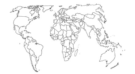 World map sketch for coloringfavorite_border favorite
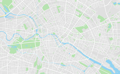 Berlin, Germany downtown street mapfavorite_border favorite
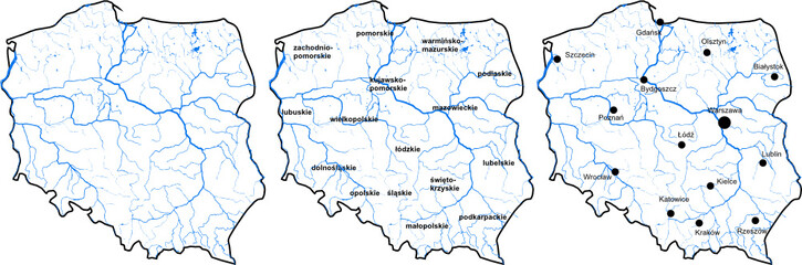 Mapa Polskifavorite_border favorite
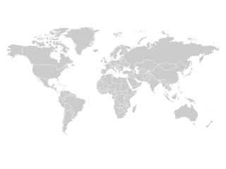 World map in grey color on white background. High detail blank political map. Vector illustration with labeled compound path of each country.favorite_border favorite
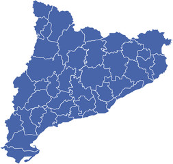 comarcas cataluña2favorite_border favorite
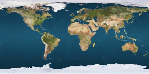 World map projection is showing continents, oceans, ice caps in flat design, transparent backgroundfavorite_border favorite
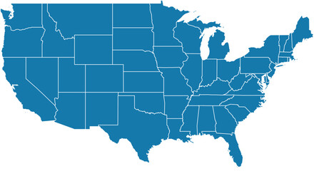 Editable vector file of the continental United States.favorite_border favorite
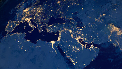 Earth photo at night, City Lights of Europe, Middle East, Turkey, Italy, Black Sea, Mediterrenian Sea from space, World map on dark globe on satellite HD photo.Elements of this image furnished by NASAfavorite_border favorite
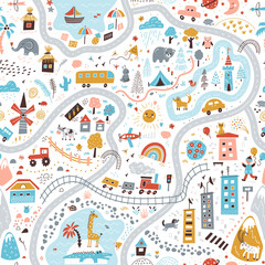 Travel around the world play mat for children. Baby land map vector seamless pattern. Kid carpet with cute doodle roads, nature, city, village, forest, sea and wild animalsfavorite_border favorite
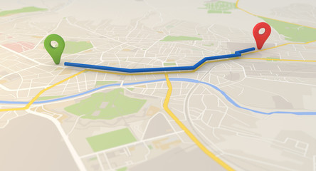 city map with Pin Pointers 3d rendering imagefavorite_border favorite
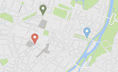 City map with some location tagsfavorite_border favorite
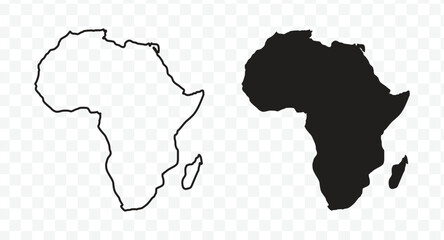 Outline and solid black silhouette maps of the African continentfavorite_border favorite
 Abstract wavy topographic map. Abstract wavy and curved lines background. Abstract geometric topographic contour map background.favorite_border favorite
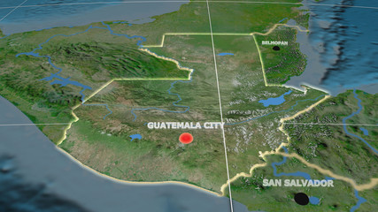 Guatemala extruded and capital labelled. Satellitefavorite_border favorite
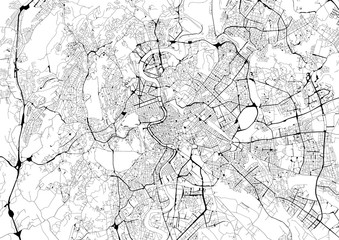 Monochrome city map with road network of Romefavorite_border favorite
 Map of Warszawa city. Roadsfavorite_border favorite
 Green planet earth PNGfavorite_border favorite
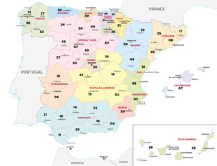 spain province map with 2-digit zip codesfavorite_border favorite
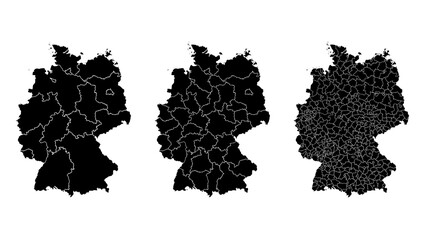 Germany map municipal, region, state division. Administrative borders, outline black on white background vector.favorite_border favorite
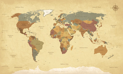 Weltkarte auf Deutsch - Vintage retro stil - Vektorisiert texte : länder, hauptstädte, inseln, meere...favorite_border favorite
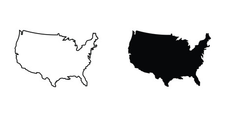 US map icon graphic design. Vector icon illustrationsfavorite_border favorite
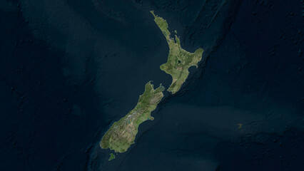 New Zealand highlighted. High-res satellite mapfavorite_border favorite
 California map on white background vectorfavorite_border favorite
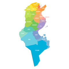 Tunisia political map of administrative divisionsfavorite_border favorite
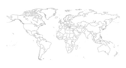 Detailed world map outline displaying political borders for geographical analysis and explorationfavorite_border favorite
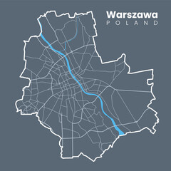 Detailed map of Warsaw - the capital of Poland - Urban borders map. Light stroke version on dark background of City poster with streets and Vistula River.favorite_border favorite
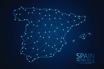 Abstract mesh line and point scales on dark background with map Of Spain. Wire frame 3D mesh polygonal network line, design sphere, dot and structure. Vector illustration eps 10.favorite_border favorite
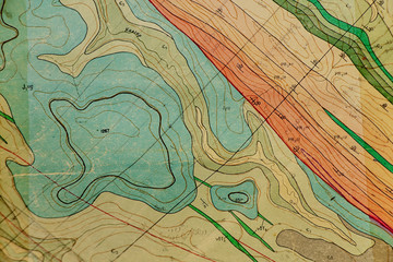 geological map as a background close-up in green colorsfavorite_border favorite
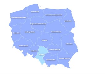 Administracyjna mapa polskifavorite_border favorite
 Mediterranean Europe mapfavorite_border favorite
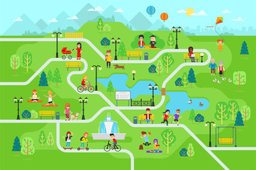 Rest in the park map infographic elements in flat vector design. People spend time relax in nature. Men, women and children rest, jog, ride the bicycle, skateboard. Park map with tree, lamp, benchfavorite_border favorite
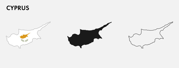 Set of Cyprus map isolated on white background, vector illustration designfavorite_border favorite
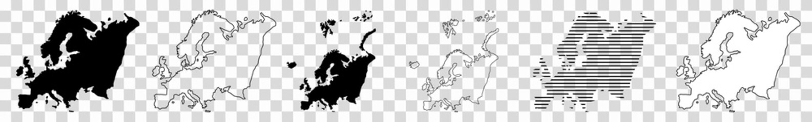 Europe Map Black European Border Continent Transparent Isolated Variationsfavorite_border favorite
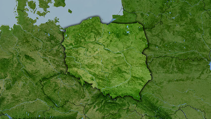 Poland, satellite B - dark glowfavorite_border favorite
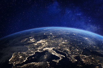 Europe at night from space, city lights, elements from NASAfavorite_border favorite
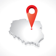 Map of Poland 3Dfavorite_border favorite
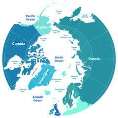 North Pole, Greenland. Vector Detailed Illustration. Arctic mapfavorite_border favorite
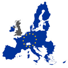 european union map blue color with stars without englandfavorite_border favorite
 White and light grey Poznań city area vector background map, roads and water illustration. Widescreen proportion, digital flat design.favorite_border favorite
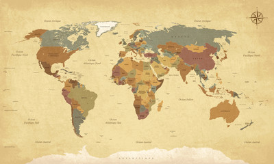 Planisphère Mappemonde Vintage - Textes en français. Vecteur CMJNfavorite_border favorite