-
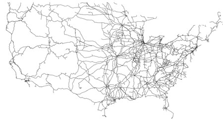
Contiguous United States vector map of the railway network (Web Mercator projection, PPT-compatible & fully editable)
Do ulubionych favorite_border
Usuń z ulubionych favorite
-
North and South America map
Do ulubionych favorite_border
Usuń z ulubionych favorite
-
Do ulubionych favorite_border
Usuń z ulubionych favorite
-
vector map and flag of croatia
Do ulubionych favorite_border
Usuń z ulubionych favorite
-
City town map seamless pattern plan with streets and roads. Vector grayscale abstract map with street layouts, intersections and urban details. Modern, minimalistic background, urban planning project
Do ulubionych favorite_border
Usuń z ulubionych favorite
-
USA states map outline. Country map United States of America. US states borders silhouettes.
Do ulubionych favorite_border
Usuń z ulubionych favorite
-
Area map of Kraków, Poland
Do ulubionych favorite_border
Usuń z ulubionych favorite
-
Happy couple traveling by authentic car in Europe, hipster girl holding touristic map planning route in mountains, lifestyle roadtrip travel concept
Do ulubionych favorite_border
Usuń z ulubionych favorite
-
World map stylized with dots on white background. Dotted world map with continents, North and South America, Europe and Asia, Africa and Australia
Do ulubionych favorite_border
Usuń z ulubionych favorite
-
Vector color detailed map of Norway with the administrative divisions of the country, each Counties and Dependent territory is presented separately and divided into municipalities
Do ulubionych favorite_border
Usuń z ulubionych favorite
-
Hand-drawn map illustration, Travel element, Adventure theme
Do ulubionych favorite_border
Usuń z ulubionych favorite
-
Location map pin icon set with modern map markers and pointers GPS location symbols vector illustration isolated on transparent background
Do ulubionych favorite_border
Usuń z ulubionych favorite
-
Do ulubionych favorite_border
Usuń z ulubionych favorite
-
Japan map with gray tone on white background,illustration,textured , Symbols of Japan
Do ulubionych favorite_border
Usuń z ulubionych favorite
-
Europe map with countries flags
Do ulubionych favorite_border
Usuń z ulubionych favorite
-
Map of the United States of America in vector format
Do ulubionych favorite_border
Usuń z ulubionych favorite
-
Europe political vector map for the year 1939
Do ulubionych favorite_border
Usuń z ulubionych favorite
-
Blank map of Canada. High quality map of Canada with provinces on transparent background for your web site design, logo, app, UI. America. EPS10.
Do ulubionych favorite_border
Usuń z ulubionych favorite
-
doodle freehand drawing of europe map.
Do ulubionych favorite_border
Usuń z ulubionych favorite
-
Vector Pirate Treasure Map
Do ulubionych favorite_border
Usuń z ulubionych favorite
-
White and light grey Birmingham city area vector background map, streets and water cartography illustration.
Do ulubionych favorite_border
Usuń z ulubionych favorite
-
Texas map icon set, Texas map isolated on transparent background, vector illustration
Do ulubionych favorite_border
Usuń z ulubionych favorite
-
Illustration and pictogram of gray hatched map of the world on a transparent background.
Do ulubionych favorite_border
Usuń z ulubionych favorite
-
World map made up of dots. Vector illustration
Do ulubionych favorite_border
Usuń z ulubionych favorite
-
Vector map of Poland. Country map with division, cities and capital Warsaw. Political map, world map, infographic elements.
Do ulubionych favorite_border
Usuń z ulubionych favorite
-
Political Physical Topographic Colored World Map Pacific Centered
Do ulubionych favorite_border
Usuń z ulubionych favorite
-
Abstract 3D digital topographic map with glowing data points and futuristic data analytics. Technology big data and geospatial concepts. Background 3D Rendering
Do ulubionych favorite_border
Usuń z ulubionych favorite
-
World map highlighting global connections with network lines for communication and trade representation.
Do ulubionych favorite_border
Usuń z ulubionych favorite
-
Spanish language speaking countries on map of the world
Do ulubionych favorite_border
Usuń z ulubionych favorite
-
Texas state gray maps. Vector illustration.
Do ulubionych favorite_border
Usuń z ulubionych favorite
-
City map with some location tags
Do ulubionych favorite_border
Usuń z ulubionych favorite
-
Vector city map of New York
Do ulubionych favorite_border
Usuń z ulubionych favorite
-
Physical map of North America, USA, Canada and Mexico, with high resolution details. Satellite view of Planet Earth. 3D illustration - Elements of this image furnished by NASA
Do ulubionych favorite_border
Usuń z ulubionych favorite
-
Lesotho political map of administrative divisions
Do ulubionych favorite_border
Usuń z ulubionych favorite
-
Do ulubionych favorite_border
Usuń z ulubionych favorite
-
Earth globe set. World map in globe shape. Earth globes collection on isolated background. Flat style - stock vector.
Do ulubionych favorite_border
Usuń z ulubionych favorite
-
Vector modern illustration. Simplified geographical map of Poland (in blue colors) and neighboring countries (Germany, Czech Republic, Ukraine and etc. in grey). Names of Polish cities and provinces.
Do ulubionych favorite_border
Usuń z ulubionych favorite
-
日本地図 素材 高品質 高精細 線画 白地図 日本列島
Do ulubionych favorite_border
Usuń z ulubionych favorite
-
Do ulubionych favorite_border
Usuń z ulubionych favorite
-
Map of the Germany in gray on a white background
Do ulubionych favorite_border
Usuń z ulubionych favorite
-
Pan American Continent Line Map Set with White Blue and Grey Color Variations. America continent map in country.
Do ulubionych favorite_border
Usuń z ulubionych favorite
-
Do ulubionych favorite_border
Usuń z ulubionych favorite
-
Ancient pirate map on old paper with red path to treasure
Do ulubionych favorite_border
Usuń z ulubionych favorite
-
Connected map of Europe vector illustration background – European Union concept: cooperation, technology, digitalization, future
Do ulubionych favorite_border
Usuń z ulubionych favorite
-
Europe map vector with country borders vector eps.10
Do ulubionych favorite_border
Usuń z ulubionych favorite
-
City map generator. City map example. Elements for creating your
Do ulubionych favorite_border
Usuń z ulubionych favorite
-
White Black Military Topographic Contour Map Vector Graphic Abstract Background. Topography Wavy Lines Pattern Modern Wide Abstraction. Outline Terrain Relief Cartography Geographical Map Illustration
Do ulubionych favorite_border
Usuń z ulubionych favorite
-
Blank map of Portugal. Departments of Portugal map. High detailed gray vector map of Portugal on transparent background with Madeira and Azores. Stock vector. EPS10.
Do ulubionych favorite_border
Usuń z ulubionych favorite
-
Do ulubionych favorite_border
Usuń z ulubionych favorite
-
Abstract topographic map background
Do ulubionych favorite_border
Usuń z ulubionych favorite
-
World map of country borders and time zone lines
Do ulubionych favorite_border
Usuń z ulubionych favorite
-
Urban vector city map of Rotterdam, The Netherlands
Do ulubionych favorite_border
Usuń z ulubionych favorite
-
World map with animals in water and on earth. Geography and fauna of planet. Wildlife, nature for kids.Continents, oceans, mammals and fishes for preschool children. Colored flat vector illustration
Do ulubionych favorite_border
Usuń z ulubionych favorite
-
Old colonial map of South America with a magnifying glass, compass and period glasses. Vintage style
Do ulubionych favorite_border
Usuń z ulubionych favorite
-
Do ulubionych favorite_border
Usuń z ulubionych favorite
-
Vector color map of Tokyo, Japan. City Plan of Tokyo
Do ulubionych favorite_border
Usuń z ulubionych favorite
-
Vector modern illustration. Simplified geographical map of Germany and nearest european states. Blue background of North and Baltic seas. Names of Deutsch cities and provinces.
Do ulubionych favorite_border
Usuń z ulubionych favorite
-
Do ulubionych favorite_border
Usuń z ulubionych favorite
-
Simple blank white vector map with black borders of districts of Wroclaw, Poland
Do ulubionych favorite_border
Usuń z ulubionych favorite
-
England map icon. English country border symbol. UK geography signs. Europe symbols. British kingdom icons. Black color. Vector sign.
Do ulubionych favorite_border
Usuń z ulubionych favorite
-
city map for any kind of digital info graphics and print publication. gps map.EPS10 separate layers.
Do ulubionych favorite_border
Usuń z ulubionych favorite
-
Futuristic technology and network connection concept, big smart city virtual database, digital visualization of big data on New York map background, vector illustration
Do ulubionych favorite_border
Usuń z ulubionych favorite
-
GPS navigator pin mock up orange color on street map of city
Do ulubionych favorite_border
Usuń z ulubionych favorite
-
Map of Poland in gray on a white background
Do ulubionych favorite_border
Usuń z ulubionych favorite
-
Do ulubionych favorite_border
Usuń z ulubionych favorite
-
Do ulubionych favorite_border
Usuń z ulubionych favorite
-
Three styles of united kingdom uk map outline graphics
Do ulubionych favorite_border
Usuń z ulubionych favorite
-
set of political maps of Romania with regions and flag map isolated on white background
Do ulubionych favorite_border
Usuń z ulubionych favorite
-
Abstract map of Spain with red circle lines
Do ulubionych favorite_border
Usuń z ulubionych favorite
-
Locator position point. GPS tracking system to navigate around the city landmarks. Detailed city street map with directions to different locations. Vector illustration
Do ulubionych favorite_border
Usuń z ulubionych favorite
-
Guadalcanal Island. Solomon Islands. Physical
Do ulubionych favorite_border
Usuń z ulubionych favorite
-
Urban vector city map of Katowice, Poland
Do ulubionych favorite_border
Usuń z ulubionych favorite
-
Vector city map of Paris in black and white
Do ulubionych favorite_border
Usuń z ulubionych favorite
-
Black silhouette map of United States of America
Do ulubionych favorite_border
Usuń z ulubionych favorite
-
Vector map of Peru. Attraction. Historical places. Tourism. Cities. Guide. South America. Andean Mountains. Cordillera. Lima. Machu Picchu. Sacred Valley of the Incas. Titicaca. Amazonia. Nazca.
Do ulubionych favorite_border
Usuń z ulubionych favorite
-
Bright map of Ukraine with landscape, symbols
Do ulubionych favorite_border
Usuń z ulubionych favorite
-
Do ulubionych favorite_border
Usuń z ulubionych favorite
-
Do ulubionych favorite_border
Usuń z ulubionych favorite
-
Vector Map of North America and Central America
Do ulubionych favorite_border
Usuń z ulubionych favorite
-
Detailed map of the Asia-Pacific region, highlighting countries
Do ulubionych favorite_border
Usuń z ulubionych favorite
-
City map navigation. GPS navigator. Point marker icon. Top view, view from above. Abstract background. Cute simple design. Flat style vector illustration.
Do ulubionych favorite_border
Usuń z ulubionych favorite
-
Сity map London, color detailed urban road plan, vector illustration
Do ulubionych favorite_border
Usuń z ulubionych favorite
-
carte du monde avec frontières 11062015
Do ulubionych favorite_border
Usuń z ulubionych favorite
-
Detailed vector map of regions of South Korea with flag
Do ulubionych favorite_border
Usuń z ulubionych favorite
-
USA map with states isolated on a white background. Vector illustration of the map of the United States of America, AI-Generated Vector
Do ulubionych favorite_border
Usuń z ulubionych favorite
-
China map – vector illustration of provinces and political borders
Do ulubionych favorite_border
Usuń z ulubionych favorite
-
A generic city map with icons
Do ulubionych favorite_border
Usuń z ulubionych favorite
-
Scotland map vector, isolated on white background. Black template, flat earth. Simplified, generalized with round corners.
Do ulubionych favorite_border
Usuń z ulubionych favorite
-
South America viewed from space with sunrise on planet Earth and stars, overview of Amazon river and forest, night lights from cities in Brazil, Argentina, Chile, Peru, map elements from NASA, 8k
Do ulubionych favorite_border
Usuń z ulubionych favorite
-
Do ulubionych favorite_border
Usuń z ulubionych favorite
-
Sylwetka mapy Polski - ilustracja wektorowa
Do ulubionych favorite_border
Usuń z ulubionych favorite
-
Urban vector city map of Pittsburgh, Pennsylvania, United States of America
Do ulubionych favorite_border
Usuń z ulubionych favorite
-
Topographic map background geographic line map with elevation assignments. Modern design with White background with topographic wavy pattern design.paper texture Imitation of a geographical map shades
Do ulubionych favorite_border
Usuń z ulubionych favorite
-
Earth's city lights political map
Do ulubionych favorite_border
Usuń z ulubionych favorite
-
Map of South Korea and North Korea divided by administrative districts.3D Rendering.
Do ulubionych favorite_border
Usuń z ulubionych favorite
-
Earth at night, city lights showing human activity in Europe from space. Elements of this image furnished by NASA.
Do ulubionych favorite_border
Usuń z ulubionych favorite
-
USA Empty 3d Geographic Map Abstract Levels Render
Do ulubionych favorite_border
Usuń z ulubionych favorite
-
The Greenlandic flag pinpointed on a map of Greenland, representing national identity and territorial sovereignty on Arctic region
Do ulubionych favorite_border
Usuń z ulubionych favorite
-
Do ulubionych favorite_border
Usuń z ulubionych favorite
-
Global network connection. World map point and line composition concept of global business. Vector Illustration
Do ulubionych favorite_border
Usuń z ulubionych favorite
 Contiguous United States vector map of the railway network (Web Mercator projection, PPT-compatible & fully editable)favorite_border favorite
 North and South America mapfavorite_border favorite
 city map.favorite_border favorite
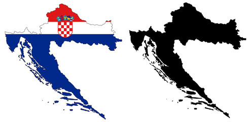 vector map and flag of croatiafavorite_border favorite
 City town map seamless pattern plan with streets and roads. Vector grayscale abstract map with street layouts, intersections and urban details. Modern, minimalistic background, urban planning projectfavorite_border favorite
 USA states map outline. Country map United States of America. US states borders silhouettes.favorite_border favorite
 Area map of Kraków, Polandfavorite_border favorite
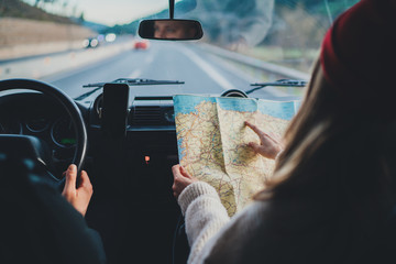 Happy couple traveling by authentic car in Europe, hipster girl holding touristic map planning route in mountains, lifestyle roadtrip travel conceptfavorite_border favorite
 World map stylized with dots on white background. Dotted world map with continents, North and South America, Europe and Asia, Africa and Australiafavorite_border favorite
 Vector color detailed map of Norway with the administrative divisions of the country, each Counties and Dependent territory is presented separately and divided into municipalitiesfavorite_border favorite
 Hand-drawn map illustration, Travel element, Adventure themefavorite_border favorite
 Location map pin icon set with modern map markers and pointers GPS location symbols vector illustration isolated on transparent backgroundfavorite_border favorite
 city of spain mapfavorite_border favorite
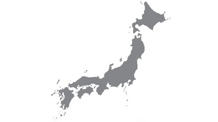 Japan map with gray tone on white background,illustration,textured , Symbols of Japanfavorite_border favorite
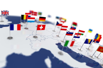 Europe map with countries flagsfavorite_border favorite
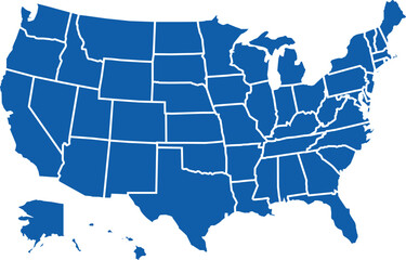 Map of the United States of America in vector formatfavorite_border favorite
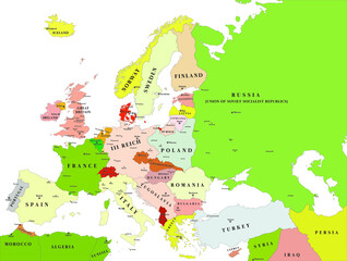 Europe political vector map for the year 1939favorite_border favorite
 Blank map of Canada. High quality map of Canada with provinces on transparent background for your web site design, logo, app, UI. America. EPS10.favorite_border favorite
 doodle freehand drawing of europe map.favorite_border favorite
 Vector Pirate Treasure Mapfavorite_border favorite
 White and light grey Birmingham city area vector background map, streets and water cartography illustration.favorite_border favorite
 Texas map icon set, Texas map isolated on transparent background, vector illustrationfavorite_border favorite
 Illustration and pictogram of gray hatched map of the world on a transparent background.favorite_border favorite
 World map made up of dots. Vector illustrationfavorite_border favorite
 Vector map of Poland. Country map with division, cities and capital Warsaw. Political map, world map, infographic elements.favorite_border favorite
 Political Physical Topographic Colored World Map Pacific Centeredfavorite_border favorite
 Abstract 3D digital topographic map with glowing data points and futuristic data analytics. Technology big data and geospatial concepts. Background 3D Renderingfavorite_border favorite
 World map highlighting global connections with network lines for communication and trade representation.favorite_border favorite
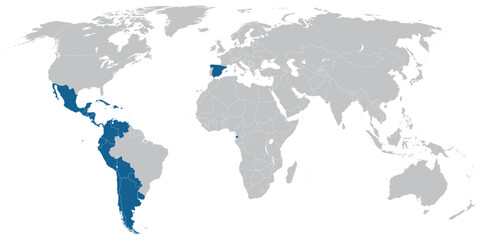 Spanish language speaking countries on map of the worldfavorite_border favorite
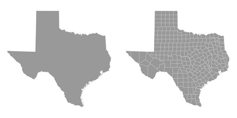 Texas state gray maps. Vector illustration.favorite_border favorite
 City map with some location tagsfavorite_border favorite
 Vector city map of New Yorkfavorite_border favorite
 Physical map of North America, USA, Canada and Mexico, with high resolution details. Satellite view of Planet Earth. 3D illustration - Elements of this image furnished by NASAfavorite_border favorite
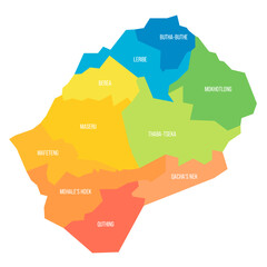 Lesotho political map of administrative divisionsfavorite_border favorite
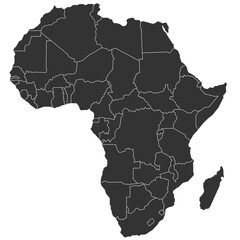 Detailed map of africafavorite_border favorite
 Earth globe set. World map in globe shape. Earth globes collection on isolated background. Flat style - stock vector.favorite_border favorite
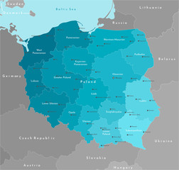 Vector modern illustration. Simplified geographical map of Poland (in blue colors) and neighboring countries (Germany, Czech Republic, Ukraine and etc. in grey). Names of Polish cities and provinces.favorite_border favorite
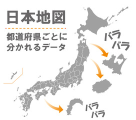 日本地図 素材 高品質 高精細 線画 白地図 日本列島favorite_border favorite
 Europe black outline mapfavorite_border favorite
 Map of the Germany in gray on a white backgroundfavorite_border favorite
 Pan American Continent Line Map Set with White Blue and Grey Color Variations. America continent map in country.favorite_border favorite
 Poland Political Mapfavorite_border favorite
 Ancient pirate map on old paper with red path to treasurefavorite_border favorite
 Connected map of Europe vector illustration background – European Union concept: cooperation, technology, digitalization, futurefavorite_border favorite
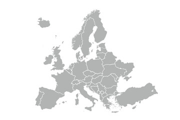 Europe map vector with country borders vector eps.10favorite_border favorite
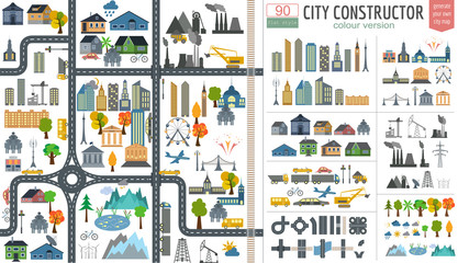 City map generator. City map example. Elements for creating yourfavorite_border favorite
 White Black Military Topographic Contour Map Vector Graphic Abstract Background. Topography Wavy Lines Pattern Modern Wide Abstraction. Outline Terrain Relief Cartography Geographical Map Illustrationfavorite_border favorite
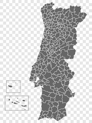 Blank map of Portugal. Departments of Portugal map. High detailed gray vector map of Portugal on transparent background with Madeira and Azores. Stock vector. EPS10.favorite_border favorite
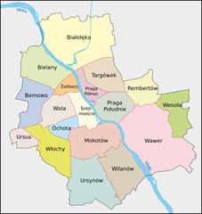 Warschau, Administrativfavorite_border favorite
 Abstract topographic map backgroundfavorite_border favorite
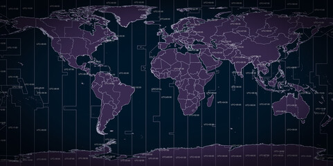 World map of country borders and time zone linesfavorite_border favorite
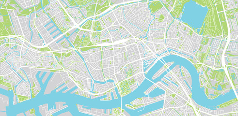 Urban vector city map of Rotterdam, The Netherlandsfavorite_border favorite
 World map with animals in water and on earth. Geography and fauna of planet. Wildlife, nature for kids.Continents, oceans, mammals and fishes for preschool children. Colored flat vector illustrationfavorite_border favorite
 Old colonial map of South America with a magnifying glass, compass and period glasses. Vintage stylefavorite_border favorite
 3D map of the worldfavorite_border favorite
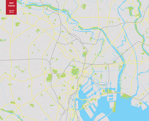 Vector color map of Tokyo, Japan. City Plan of Tokyofavorite_border favorite
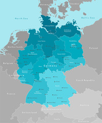 Vector modern illustration. Simplified geographical map of Germany and nearest european states. Blue background of North and Baltic seas. Names of Deutsch cities and provinces.favorite_border favorite
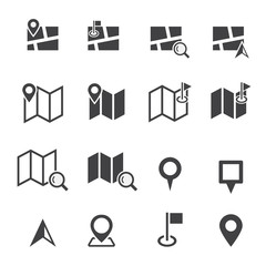 map iconfavorite_border favorite
 Simple blank white vector map with black borders of districts of Wroclaw, Polandfavorite_border favorite
 England map icon. English country border symbol. UK geography signs. Europe symbols. British kingdom icons. Black color. Vector sign.favorite_border favorite
 city map for any kind of digital info graphics and print publication. gps map.EPS10 separate layers.favorite_border favorite
 Futuristic technology and network connection concept, big smart city virtual database, digital visualization of big data on New York map background, vector illustrationfavorite_border favorite
 GPS navigator pin mock up orange color on street map of cityfavorite_border favorite
 Map of Poland in gray on a white backgroundfavorite_border favorite
 World map with namesfavorite_border favorite
 New York State mapfavorite_border favorite
 Three styles of united kingdom uk map outline graphicsfavorite_border favorite
 set of political maps of Romania with regions and flag map isolated on white backgroundfavorite_border favorite
 Abstract map of Spain with red circle linesfavorite_border favorite
 Locator position point. GPS tracking system to navigate around the city landmarks. Detailed city street map with directions to different locations. Vector illustrationfavorite_border favorite
 Guadalcanal Island. Solomon Islands. Physicalfavorite_border favorite
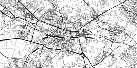 Urban vector city map of Katowice, Polandfavorite_border favorite
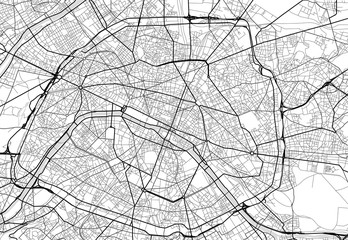 Vector city map of Paris in black and whitefavorite_border favorite
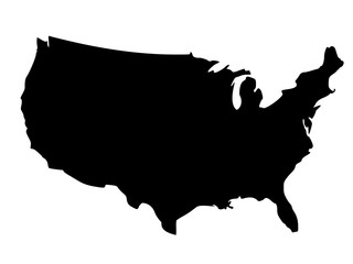 Black silhouette map of United States of Americafavorite_border favorite
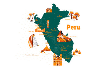 Vector map of Peru. Attraction. Historical places. Tourism. Cities. Guide. South America. Andean Mountains. Cordillera. Lima. Machu Picchu. Sacred Valley of the Incas. Titicaca. Amazonia. Nazca.favorite_border favorite
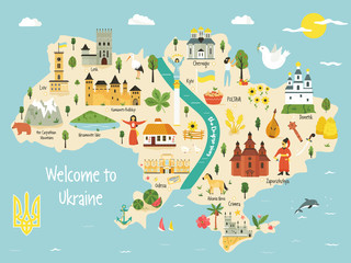 Bright map of Ukraine with landscape, symbolsfavorite_border favorite
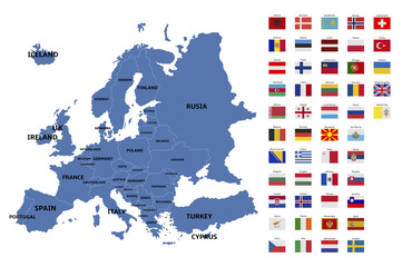 europe map and flagsfavorite_border favorite
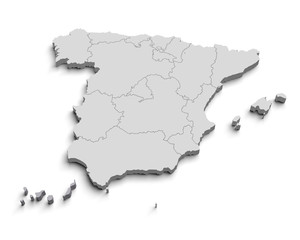 3d Spain white mapfavorite_border favorite
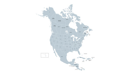 Vector Map of North America and Central Americafavorite_border favorite
 Detailed map of the Asia-Pacific region, highlighting countriesfavorite_border favorite
 City map navigation. GPS navigator. Point marker icon. Top view, view from above. Abstract background. Cute simple design. Flat style vector illustration.favorite_border favorite
 Сity map London, color detailed urban road plan, vector illustrationfavorite_border favorite
 carte du monde avec frontières 11062015favorite_border favorite
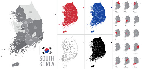 Detailed vector map of regions of South Korea with flagfavorite_border favorite
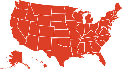 USA map with states isolated on a white background. Vector illustration of the map of the United States of America, AI-Generated Vectorfavorite_border favorite
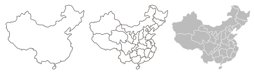 China map – vector illustration of provinces and political bordersfavorite_border favorite
 A generic city map with iconsfavorite_border favorite
 Scotland map vector, isolated on white background. Black template, flat earth. Simplified, generalized with round corners.favorite_border favorite
 South America viewed from space with sunrise on planet Earth and stars, overview of Amazon river and forest, night lights from cities in Brazil, Argentina, Chile, Peru, map elements from NASA, 8kfavorite_border favorite
 Map of Swizerlandfavorite_border favorite
 Sylwetka mapy Polski - ilustracja wektorowafavorite_border favorite
 Urban vector city map of Pittsburgh, Pennsylvania, United States of Americafavorite_border favorite
 Topographic map background geographic line map with elevation assignments. Modern design with White background with topographic wavy pattern design.paper texture Imitation of a geographical map shadesfavorite_border favorite
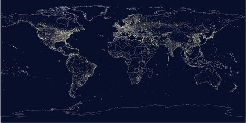 Earth's city lights political mapfavorite_border favorite
 Map of South Korea and North Korea divided by administrative districts.3D Rendering.favorite_border favorite
 Earth at night, city lights showing human activity in Europe from space. Elements of this image furnished by NASA.favorite_border favorite
 USA Empty 3d Geographic Map Abstract Levels Renderfavorite_border favorite
 The Greenlandic flag pinpointed on a map of Greenland, representing national identity and territorial sovereignty on Arctic regionfavorite_border favorite
 mapfavorite_border favorite
 Global network connection. World map point and line composition concept of global business. Vector Illustrationfavorite_border favorite