-
Vintage map of Kraków, Poland.
Do ulubionych favorite_border
Usuń z ulubionych favorite
-
Do ulubionych favorite_border
Usuń z ulubionych favorite
-
Location pin. Map pin flat icon vector design.
Do ulubionych favorite_border
Usuń z ulubionych favorite
-
North Rhine-Westphalia state map silhouette and outline vector illustration on transparent background
Do ulubionych favorite_border
Usuń z ulubionych favorite
-
Do ulubionych favorite_border
Usuń z ulubionych favorite
-
Iberian Peninsula and europe at night in the earth planet rotating from space
Do ulubionych favorite_border
Usuń z ulubionych favorite
-
The Caribbean Islands regions map
Do ulubionych favorite_border
Usuń z ulubionych favorite
-
Do ulubionych favorite_border
Usuń z ulubionych favorite
-
Administracyjna mapa województwa
Do ulubionych favorite_border
Usuń z ulubionych favorite
-
European union . EU and membership flags . Flat circle element design . White isolated background and europe map . Vector .
Do ulubionych favorite_border
Usuń z ulubionych favorite
-
Queensland Province Border Outline
Do ulubionych favorite_border
Usuń z ulubionych favorite
-
Urban vector city map of Lodz, Poland
Do ulubionych favorite_border
Usuń z ulubionych favorite
-
Location pin icon set map pointer gps navigation marker distance route business address destination indicator pinpoint button vector icons collection black white silhouette design
Do ulubionych favorite_border
Usuń z ulubionych favorite
-
Blank similar USA map isolated on white background. United States of America usa country. Vector template usa for website, design, cover, infographics. Graph illustration.
Do ulubionych favorite_border
Usuń z ulubionych favorite
-
Do ulubionych favorite_border
Usuń z ulubionych favorite
-
Kraków, Poland map poster art
Do ulubionych favorite_border
Usuń z ulubionych favorite
-
distance love concept. map distance path vector illustration minimalist style
Do ulubionych favorite_border
Usuń z ulubionych favorite
-
A close-up of a map focused on the Baltic Sea region, Eastern Europe, Scandinavia, with pushpins marking various locations and national flags indicating the countries.
Do ulubionych favorite_border
Usuń z ulubionych favorite
-
Polen Administrativ Verwaltungsgliederung
Do ulubionych favorite_border
Usuń z ulubionych favorite
-
mapa konturowa POLSKI, POLSKA
Do ulubionych favorite_border
Usuń z ulubionych favorite
-
Set of abstract tree rings. Vector topographic map design elements. Contour map concept. Thin wavy lines.
Do ulubionych favorite_border
Usuń z ulubionych favorite
-
set of 4 political maps of Luxembourg with regions isolated on white background
Do ulubionych favorite_border
Usuń z ulubionych favorite
-
Latin America isolated on white background. for website layouts, reports, annual infographics, world,travel around the world, map silhouette backdrop.
Do ulubionych favorite_border
Usuń z ulubionych favorite
-
Pins on a world map in vector style. International busines communication concept. Global connections illustration.
Do ulubionych favorite_border
Usuń z ulubionych favorite
-
City map Krakow, travel vector poster design
Do ulubionych favorite_border
Usuń z ulubionych favorite
-
USA map. USA vector icons. American map. United States of America map in flat and lines design. Vector illustration
Do ulubionych favorite_border
Usuń z ulubionych favorite
-
USA detailed topographic map illustration. Map contains topographic contours, country and land names, cities, water objects, flag, roads. - railways
Do ulubionych favorite_border
Usuń z ulubionych favorite
-
old parchment paper sheet vintage aged or texture background
Do ulubionych favorite_border
Usuń z ulubionych favorite
-
Generic city map with an icon
Do ulubionych favorite_border
Usuń z ulubionych favorite
-
Ancient map sketch with compass rose vector
Do ulubionych favorite_border
Usuń z ulubionych favorite
-
All national flags of the world with names - round shape with shadow flag isolated on white background
Do ulubionych favorite_border
Usuń z ulubionych favorite
-
Urban vector city map of St Louis, California , United States of America
Do ulubionych favorite_border
Usuń z ulubionych favorite
-
Stock Vector Illustration: Map icons
Do ulubionych favorite_border
Usuń z ulubionych favorite
-
India map with states names and location pins
Do ulubionych favorite_border
Usuń z ulubionych favorite
-
Miniature people: small figurine of lonely young traveler walking on big map
Do ulubionych favorite_border
Usuń z ulubionych favorite
-
United States map with state borders and Alaska Hawaii
Do ulubionych favorite_border
Usuń z ulubionych favorite
-
The Mediterranean Sea subdivisions, political map with straits, countries and the Black Sea. Connected to the Atlantic Ocean, surrounded by the Mediterranean Basin, almost completely enclosed by land.
Do ulubionych favorite_border
Usuń z ulubionych favorite
-
world map physical boundaries
Do ulubionych favorite_border
Usuń z ulubionych favorite
-
Vector map of Italy. High detailed country map with division, cities and capital Rome. Political map, world map, infographic elements.
Do ulubionych favorite_border
Usuń z ulubionych favorite
-
Route location dotted line with pointer map design vector
Do ulubionych favorite_border
Usuń z ulubionych favorite
-
Monochrome city map with road network of Berlin
Do ulubionych favorite_border
Usuń z ulubionych favorite
-
set of 4 political maps of United Kingdom with regions isolated on white background
Do ulubionych favorite_border
Usuń z ulubionych favorite
-
Vector contour topographic map background. Topography and geography map grid abstract backdrop, Vector illustration of topographic line contour map, Linear graphics. Vector illustration,
Do ulubionych favorite_border
Usuń z ulubionych favorite
-
sketch design vector illustration silhouette base map of tel aviv city
Do ulubionych favorite_border
Usuń z ulubionych favorite
-
Geographical map of Norway isolated on white background
Do ulubionych favorite_border
Usuń z ulubionych favorite
-
Pin pointing Warsaw on polish map in atlas
Do ulubionych favorite_border
Usuń z ulubionych favorite
-
South america map illustration
Do ulubionych favorite_border
Usuń z ulubionych favorite
-
Blue Europe map with countries outline for presentations, posters, infographics
Do ulubionych favorite_border
Usuń z ulubionych favorite
-
Dotted Map Vector High Quality World Map Illustration Editable Digital Download
Do ulubionych favorite_border
Usuń z ulubionych favorite
-
Canada silhouette map and two patterns of dots and slanted lines. Flat vector illustration isolated on white
Do ulubionych favorite_border
Usuń z ulubionych favorite
-
Pirate and nautical theme grunge background
Do ulubionych favorite_border
Usuń z ulubionych favorite
-
Do ulubionych favorite_border
Usuń z ulubionych favorite
-
world map continents outline drawing
Do ulubionych favorite_border
Usuń z ulubionych favorite
-
France map – vector illustration of regions and political borders
Do ulubionych favorite_border
Usuń z ulubionych favorite
-
Folded maps navigation with red color point markers map. World travel pin location on a global map for travel tourism trip planning world tour. 3d rendering
Do ulubionych favorite_border
Usuń z ulubionych favorite
-
Continuous one line drawing of map of France. white background map for Education, Travel across cities in France, infographics, Science, Web Presentation isolated on white background
Do ulubionych favorite_border
Usuń z ulubionych favorite
-
Mainz, Germany downtown street map
Do ulubionych favorite_border
Usuń z ulubionych favorite
-
Simple (only sharp corners) map of Japan vector drawing. Filled and outlined version.
Do ulubionych favorite_border
Usuń z ulubionych favorite
-
Military conflict between Ukraine and Russia. Concept map of war. cartography design. 3d render
Do ulubionych favorite_border
Usuń z ulubionych favorite
-
Urban vector city map of Dubai, United Arab Emirates
Do ulubionych favorite_border
Usuń z ulubionych favorite
-
Location Mexico. Green pin on the map.
Do ulubionych favorite_border
Usuń z ulubionych favorite
-
set of 4 political maps of Czech Republic with regions isolated on white background
Do ulubionych favorite_border
Usuń z ulubionych favorite
-
Travel. Trip. Vacation - Top view airplane with touristic map
Do ulubionych favorite_border
Usuń z ulubionych favorite
-
Urban Cracow map. Detailed map of Kraków (Cracovia), Poland. City poster with streets and Wisła (Vistula) River. Dark fill version.
Do ulubionych favorite_border
Usuń z ulubionych favorite
-
Top view world map with aircraft, air pathes and pins. Wide flat vector illustration for info graphic, web, banner. Global logistics network. World map with destination marker pins and plane travel
Do ulubionych favorite_border
Usuń z ulubionych favorite
-
Carte Europe avec capitales - Texture vintage rétro - Textes français - Vecteur CMJN
Do ulubionych favorite_border
Usuń z ulubionych favorite
-
world map with all state and countries names on white background
Do ulubionych favorite_border
Usuń z ulubionych favorite
-
World map. Grey modern vector map. Silhouette map
Do ulubionych favorite_border
Usuń z ulubionych favorite
-
Madeira map of islands regions districts vector black on white and outline
Do ulubionych favorite_border
Usuń z ulubionych favorite
-
A gray map of California counties isolated on white background
Do ulubionych favorite_border
Usuń z ulubionych favorite
-
Planet Earth geography map set
Do ulubionych favorite_border
Usuń z ulubionych favorite
-
Do ulubionych favorite_border
Usuń z ulubionych favorite
-
Communications network map of the world
Do ulubionych favorite_border
Usuń z ulubionych favorite
-
Do ulubionych favorite_border
Usuń z ulubionych favorite
-
City street map of Greater London area, UK, in black and light beige. High resolution full frame minimalist poster style road map or urban street plan of London. Vintage look.
Do ulubionych favorite_border
Usuń z ulubionych favorite
-
World map silhouette on transparent background
Do ulubionych favorite_border
Usuń z ulubionych favorite
-
Simple red location pin icon on a clean transparent background
Do ulubionych favorite_border
Usuń z ulubionych favorite
-
australia map icon, outline and silhouette of the australian continent
Do ulubionych favorite_border
Usuń z ulubionych favorite
-
india map silhouette on transparent background
Do ulubionych favorite_border
Usuń z ulubionych favorite
-
Black detailed blank political map of BAHRAIN with white borders on transparent background using orthographic projection of the gray Middle East
Do ulubionych favorite_border
Usuń z ulubionych favorite
-
World map. Highly detailed map of the world with detailed borders of all countries, cities, regions and bodies of water in blue tones.
Do ulubionych favorite_border
Usuń z ulubionych favorite
-
World political map. Detailed map of the world with shorelines, national borders and country names. Robinson projection, english labeling, grey illustration on white background.
Do ulubionych favorite_border
Usuń z ulubionych favorite
-
old vintage map background
Do ulubionych favorite_border
Usuń z ulubionych favorite
-
black and white map of australia
Do ulubionych favorite_border
Usuń z ulubionych favorite
-
Topographic map patterns, topography line map. Outdoor vector background
Do ulubionych favorite_border
Usuń z ulubionych favorite
-
Greece map with main regions. Map of Greece
Do ulubionych favorite_border
Usuń z ulubionych favorite
-
Detailed negative navigation urban street roads map on dark gray background of the Polish regional capital city of Bydgoszcz, Poland
Do ulubionych favorite_border
Usuń z ulubionych favorite
-
Dark area map of Tokyo, Japan
Do ulubionych favorite_border
Usuń z ulubionych favorite
-
Do ulubionych favorite_border
Usuń z ulubionych favorite
-
Routes with red pins on a city map. Concept on the adventure, discovery, navigation, communication, logistics, geography, transport and travel topics.
Do ulubionych favorite_border
Usuń z ulubionych favorite
-
world map made with dots and lines
Do ulubionych favorite_border
Usuń z ulubionych favorite
-
Old compass on vintage map. Retro stale.
Do ulubionych favorite_border
Usuń z ulubionych favorite
-
World Map Isolated on White Background in Gray Color. Vector Illustration
Do ulubionych favorite_border
Usuń z ulubionych favorite
-
Poland, relief map, colored according to elevation
Do ulubionych favorite_border
Usuń z ulubionych favorite
-
シンプルで使いやすい地図アイコン素材セット 道路・線路はアピアランス分割なし 線幅変更可能
Do ulubionych favorite_border
Usuń z ulubionych favorite
-
Morbihan map outline and black silhouette vector
Do ulubionych favorite_border
Usuń z ulubionych favorite
-
Night earth global virtual internet world connection of metaverse technology network digital communication and worldwide networking on connect 3d background. Elements of this image furnished by NASA.
Do ulubionych favorite_border
Usuń z ulubionych favorite
-
vector map set of Latvia isolated on white background
Do ulubionych favorite_border
Usuń z ulubionych favorite
-
Do ulubionych favorite_border
Usuń z ulubionych favorite
-
Set of location icons. Modern map markers .Vector illustration on a white background.
Do ulubionych favorite_border
Usuń z ulubionych favorite
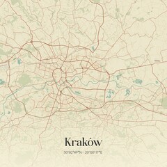 Vintage map of Kraków, Poland.favorite_border favorite
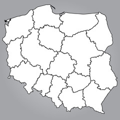 Mapa Polski Województwafavorite_border favorite
 Location pin. Map pin flat icon vector design.favorite_border favorite
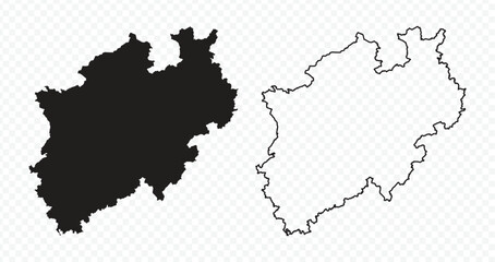 North Rhine-Westphalia state map silhouette and outline vector illustration on transparent backgroundfavorite_border favorite
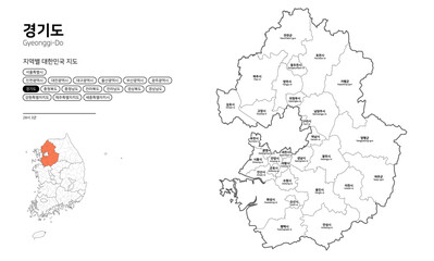 대한민국 지도-경기도favorite_border favorite
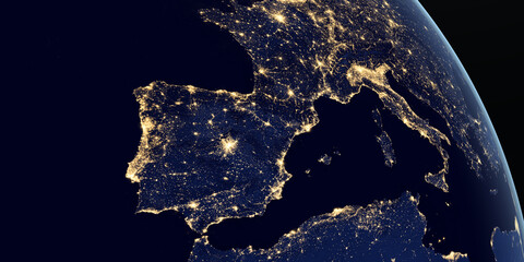 Iberian Peninsula and europe at night in the earth planet rotating from spacefavorite_border favorite
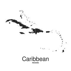 The Caribbean Islands regions mapfavorite_border favorite
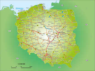 Polen 1_3,4 Miofavorite_border favorite
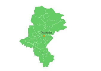 Administracyjna mapa województwafavorite_border favorite
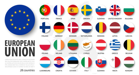 European union . EU and membership flags . Flat circle element design . White isolated background and europe map . Vector .favorite_border favorite
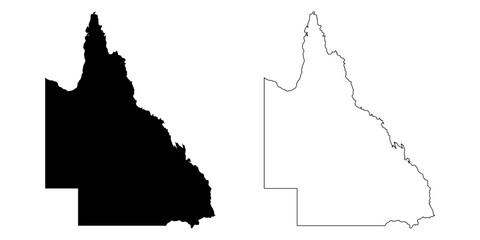 Queensland Province Border Outlinefavorite_border favorite
 Urban vector city map of Lodz, Polandfavorite_border favorite
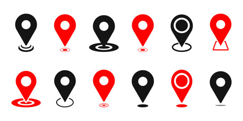 Location pin icon set map pointer gps navigation marker distance route business address destination indicator pinpoint button vector icons collection black white silhouette designfavorite_border favorite
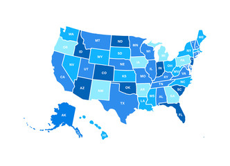 Blank similar USA map isolated on white background. United States of America usa country. Vector template usa for website, design, cover, infographics. Graph illustration.favorite_border favorite
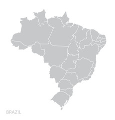 Map of Brazilfavorite_border favorite
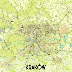 Kraków, Poland map poster artfavorite_border favorite
 distance love concept. map distance path vector illustration minimalist stylefavorite_border favorite
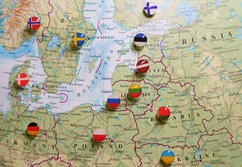 A close-up of a map focused on the Baltic Sea region, Eastern Europe, Scandinavia, with pushpins marking various locations and national flags indicating the countries.favorite_border favorite
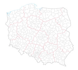 Polen Administrativ Verwaltungsgliederungfavorite_border favorite
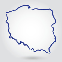 mapa konturowa POLSKI, POLSKAfavorite_border favorite
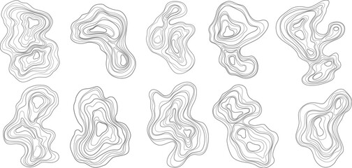 Set of abstract tree rings. Vector topographic map design elements. Contour map concept. Thin wavy lines.favorite_border favorite
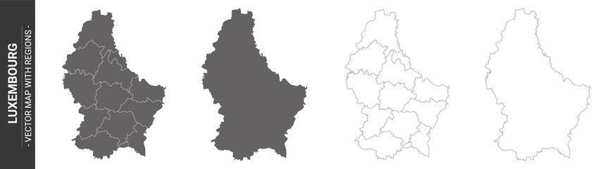 set of 4 political maps of Luxembourg with regions isolated on white backgroundfavorite_border favorite
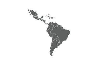 Latin America isolated on white background. for website layouts, reports, annual infographics, world,travel around the world, map silhouette backdrop.favorite_border favorite
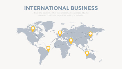 Pins on a world map in vector style. International busines communication concept. Global connections illustration.favorite_border favorite
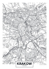 City map Krakow, travel vector poster designfavorite_border favorite
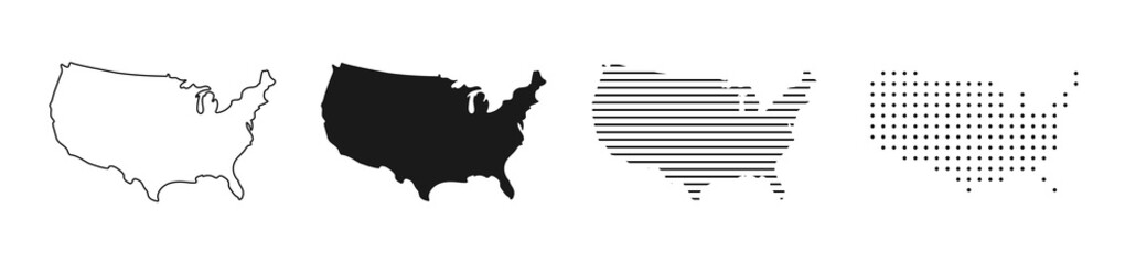 USA map. USA vector icons. American map. United States of America map in flat and lines design. Vector illustrationfavorite_border favorite
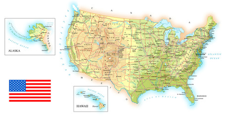 USA detailed topographic map illustration. Map contains topographic contours, country and land names, cities, water objects, flag, roads. - railwaysfavorite_border favorite
 old parchment paper sheet vintage aged or texture backgroundfavorite_border favorite
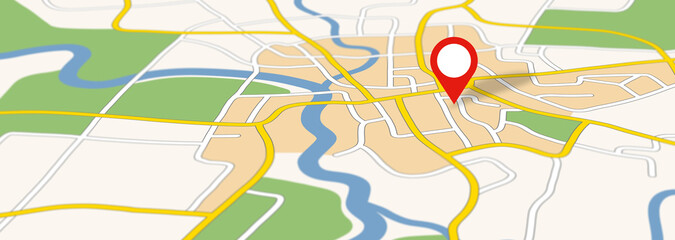 Generic city map with an iconfavorite_border favorite
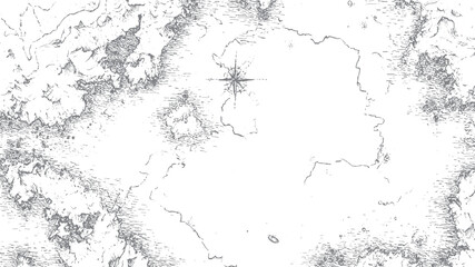 Ancient map sketch with compass rose vectorfavorite_border favorite
 All national flags of the world with names - round shape with shadow flag isolated on white backgroundfavorite_border favorite
 Urban vector city map of St Louis, California , United States of Americafavorite_border favorite
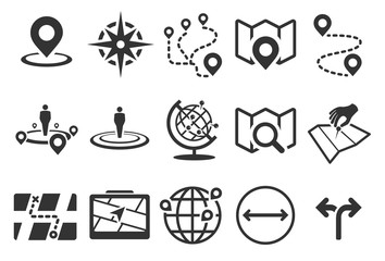 Stock Vector Illustration: Map iconsfavorite_border favorite
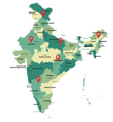 India map with states names and location pinsfavorite_border favorite
 Miniature people: small figurine of lonely young traveler walking on big mapfavorite_border favorite
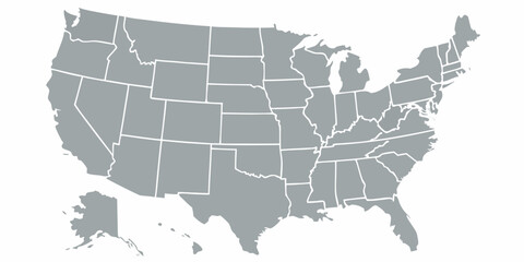 United States map with state borders and Alaska Hawaiifavorite_border favorite
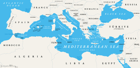 The Mediterranean Sea subdivisions, political map with straits, countries and the Black Sea. Connected to the Atlantic Ocean, surrounded by the Mediterranean Basin, almost completely enclosed by land.favorite_border favorite
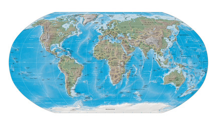 world map physical boundariesfavorite_border favorite
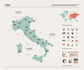 Vector map of Italy. High detailed country map with division, cities and capital Rome. Political map, world map, infographic elements.favorite_border favorite
 Route location dotted line with pointer map design vectorfavorite_border favorite
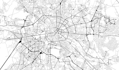 Monochrome city map with road network of Berlinfavorite_border favorite
 set of 4 political maps of United Kingdom with regions isolated on white backgroundfavorite_border favorite
 Vector contour topographic map background. Topography and geography map grid abstract backdrop, Vector illustration of topographic line contour map, Linear graphics. Vector illustration,favorite_border favorite
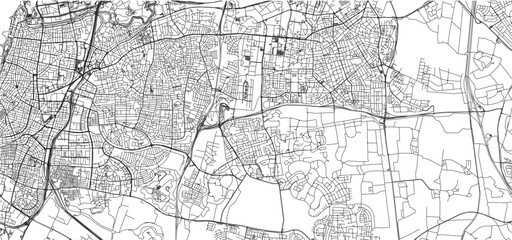 sketch design vector illustration silhouette base map of tel aviv cityfavorite_border favorite
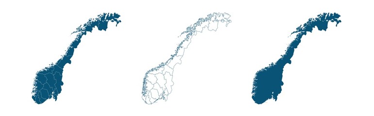 Geographical map of Norway isolated on white backgroundfavorite_border favorite
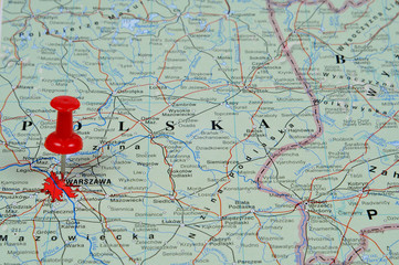 Pin pointing Warsaw on polish map in atlasfavorite_border favorite
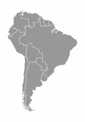 South america map illustrationfavorite_border favorite
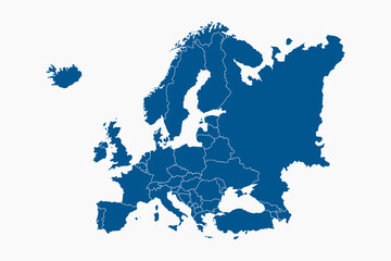 Blue Europe map with countries outline for presentations, posters, infographicsfavorite_border favorite
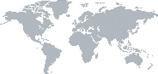 Dotted Map Vector High Quality World Map Illustration Editable Digital Downloadfavorite_border favorite
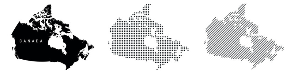 Canada silhouette map and two patterns of dots and slanted lines. Flat vector illustration isolated on whitefavorite_border favorite
 Pirate and nautical theme grunge backgroundfavorite_border favorite
 polandfavorite_border favorite
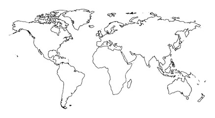 world map continents outline drawingfavorite_border favorite
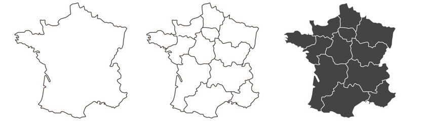 France map – vector illustration of regions and political bordersfavorite_border favorite
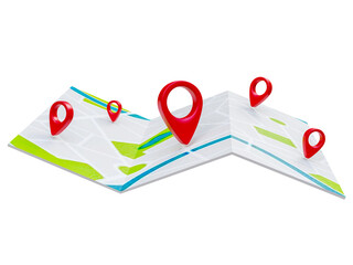 Folded maps navigation with red color point markers map. World travel pin location on a global map for travel tourism trip planning world tour. 3d renderingfavorite_border favorite
 Continuous one line drawing of map of France. white background map for Education, Travel across cities in France, infographics, Science, Web Presentation isolated on white backgroundfavorite_border favorite
 Mainz, Germany downtown street mapfavorite_border favorite
 Simple (only sharp corners) map of Japan vector drawing. Filled and outlined version.favorite_border favorite
 Military conflict between Ukraine and Russia. Concept map of war. cartography design. 3d renderfavorite_border favorite
 Urban vector city map of Dubai, United Arab Emiratesfavorite_border favorite
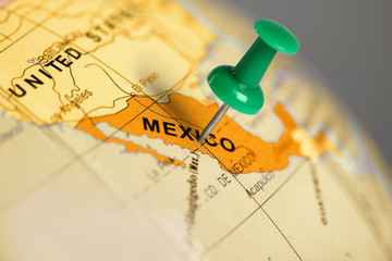 Location Mexico. Green pin on the map.favorite_border favorite
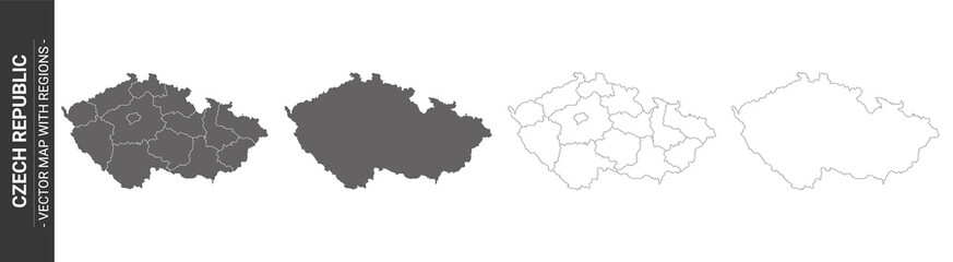 set of 4 political maps of Czech Republic with regions isolated on white backgroundfavorite_border favorite
 Travel. Trip. Vacation - Top view airplane with touristic mapfavorite_border favorite
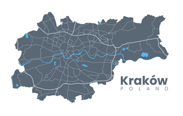 Urban Cracow map. Detailed map of Kraków (Cracovia), Poland. City poster with streets and Wisła (Vistula) River. Dark fill version.favorite_border favorite
 Top view world map with aircraft, air pathes and pins. Wide flat vector illustration for info graphic, web, banner. Global logistics network. World map with destination marker pins and plane travelfavorite_border favorite
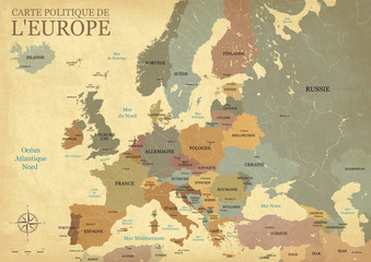 Carte Europe avec capitales - Texture vintage rétro - Textes français - Vecteur CMJNfavorite_border favorite
 world map with all state and countries names on white backgroundfavorite_border favorite
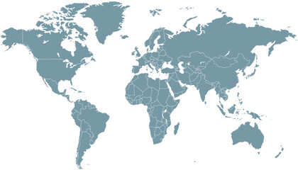 World map. Grey modern vector map. Silhouette mapfavorite_border favorite
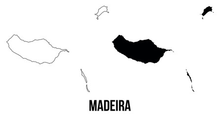 Madeira map of islands regions districts vector black on white and outlinefavorite_border favorite
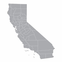 A gray map of California counties isolated on white backgroundfavorite_border favorite
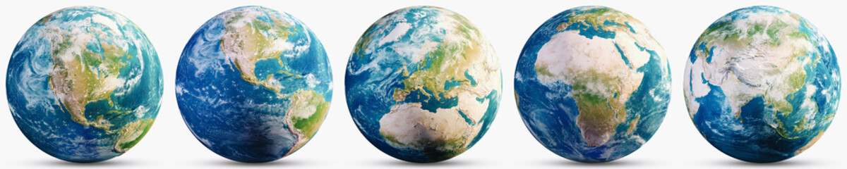 Planet Earth geography map setfavorite_border favorite
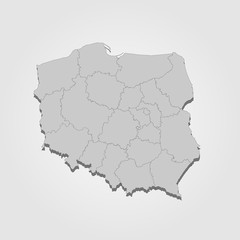 Landkarte Polen in graufavorite_border favorite
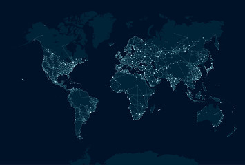 Communications network map of the worldfavorite_border favorite
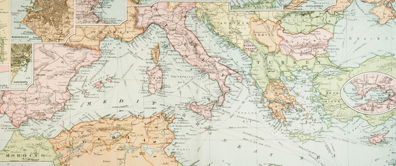 Panoramic Antique Mapfavorite_border favorite
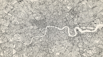 City street map of Greater London area, UK, in black and light beige. High resolution full frame minimalist poster style road map or urban street plan of London. Vintage look.favorite_border favorite
 World map silhouette on transparent backgroundfavorite_border favorite
 Simple red location pin icon on a clean transparent backgroundfavorite_border favorite
 australia map icon, outline and silhouette of the australian continentfavorite_border favorite
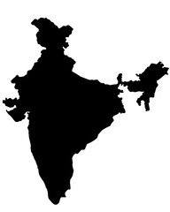 india map silhouette on transparent backgroundfavorite_border favorite
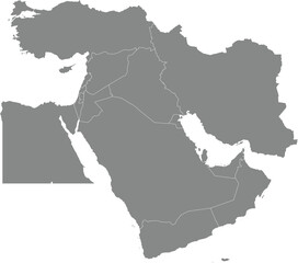 Black detailed blank political map of BAHRAIN with white borders on transparent background using orthographic projection of the gray Middle Eastfavorite_border favorite
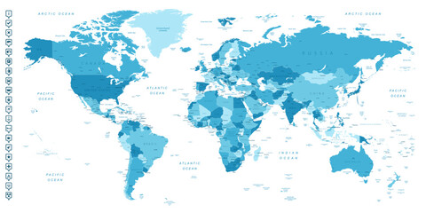 World map. Highly detailed map of the world with detailed borders of all countries, cities, regions and bodies of water in blue tones.favorite_border favorite
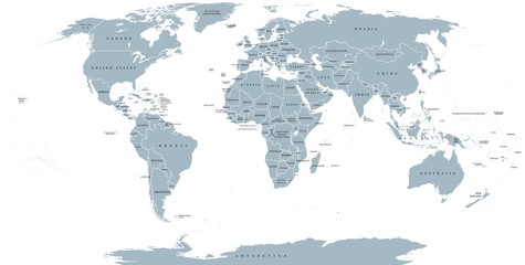 World political map. Detailed map of the world with shorelines, national borders and country names. Robinson projection, english labeling, grey illustration on white background.favorite_border favorite
 old vintage map backgroundfavorite_border favorite
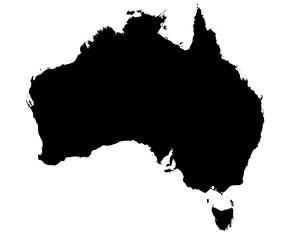 black and white map of australiafavorite_border favorite
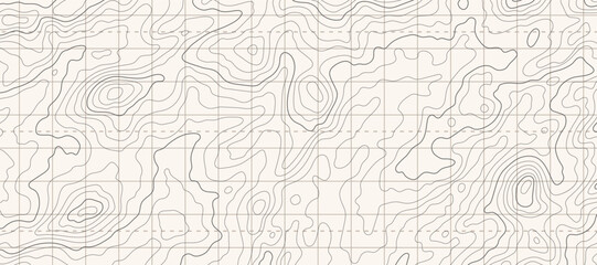 Topographic map patterns, topography line map. Outdoor vector backgroundfavorite_border favorite
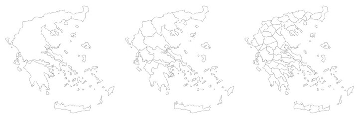 Greece map with main regions. Map of Greecefavorite_border favorite
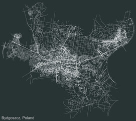 Detailed negative navigation urban street roads map on dark gray background of the Polish regional capital city of Bydgoszcz, Polandfavorite_border favorite
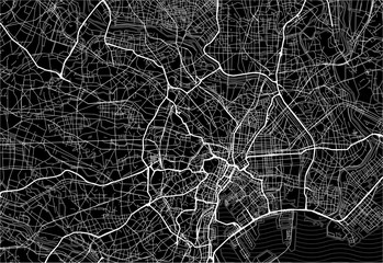 Dark area map of Tokyo, Japanfavorite_border favorite
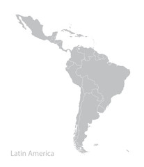 Map of Latin America.favorite_border favorite
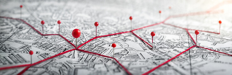 Routes with red pins on a city map. Concept on the adventure, discovery, navigation, communication, logistics, geography, transport and travel topics.favorite_border favorite
 world map made with dots and linesfavorite_border favorite
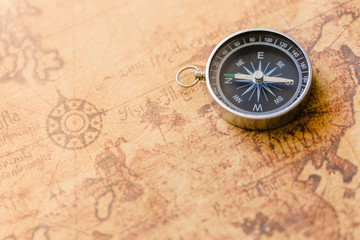 Old compass on vintage map. Retro stale.favorite_border favorite
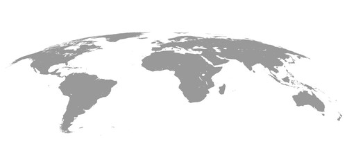 World Map Isolated on White Background in Gray Color. Vector Illustrationfavorite_border favorite
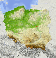 Poland, relief map, colored according to elevationfavorite_border favorite
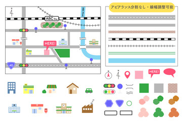 シンプルで使いやすい地図アイコン素材セット 道路・線路はアピアランス分割なし 線幅変更可能favorite_border favorite
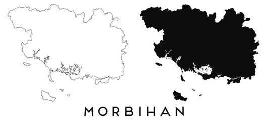 Morbihan map outline and black silhouette vectorfavorite_border favorite
 Night earth global virtual internet world connection of metaverse technology network digital communication and worldwide networking on connect 3d background. Elements of this image furnished by NASA.favorite_border favorite
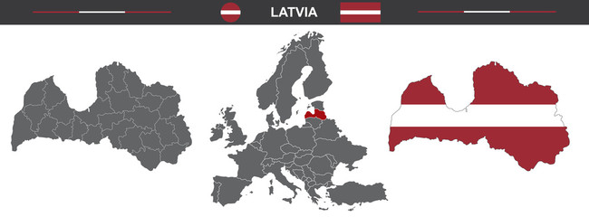 vector map set of Latvia isolated on white backgroundfavorite_border favorite
 świat raster wektorfavorite_border favorite
 Set of location icons. Modern map markers .Vector illustration on a white background.favorite_border favorite