-
Super High detail of USA map. Outline map of America on white background. Vector Illustration.
Do ulubionych favorite_border
Usuń z ulubionych favorite
-
old nautical treasure map background
Do ulubionych favorite_border
Usuń z ulubionych favorite
-
Do ulubionych favorite_border
Usuń z ulubionych favorite
-
Searching Location On Online GPS Map
Do ulubionych favorite_border
Usuń z ulubionych favorite
-
Germany map – vector illustration of political and geographical borders
Do ulubionych favorite_border
Usuń z ulubionych favorite
-
Futuristic Europe outline connectivity map with lines, stars, triangles, light particles framework.
Do ulubionych favorite_border
Usuń z ulubionych favorite
-
Do ulubionych favorite_border
Usuń z ulubionych favorite
-
City map with some location tags
Do ulubionych favorite_border
Usuń z ulubionych favorite
-
Planisphère Mappemonde Vintage - Textes en français. Vecteur CMJN
Do ulubionych favorite_border
Usuń z ulubionych favorite
-
Red marker with a white dot on it, Location map icon vector, location Icon Clip art
Do ulubionych favorite_border
Usuń z ulubionych favorite
-
Outline of the map of Poland with regions
Do ulubionych favorite_border
Usuń z ulubionych favorite
-
Digital image of map with directions
Do ulubionych favorite_border
Usuń z ulubionych favorite
-
set of 3 maps of Poland - vector illustrations
Do ulubionych favorite_border
Usuń z ulubionych favorite
-
Egypt map in gray on a white background
Do ulubionych favorite_border
Usuń z ulubionych favorite
-
Lodz map. Lodz city map poster. Map of Lodz street, urban area.
Do ulubionych favorite_border
Usuń z ulubionych favorite
-
Illustration and pictogram of gray hatched map of the world on a transparent background.
Do ulubionych favorite_border
Usuń z ulubionych favorite
-
Gold world map, golden world map
Do ulubionych favorite_border
Usuń z ulubionych favorite
-
World map showing country borders. Gray world map isolated with border. Vector stock illustration.
Do ulubionych favorite_border
Usuń z ulubionych favorite
-
Simple blank white vector map with black borders of districts of Wroclaw, Poland
Do ulubionych favorite_border
Usuń z ulubionych favorite
-
vector city map of Paris, France
Do ulubionych favorite_border
Usuń z ulubionych favorite
-
Detail world map with national borders, 3d render
Do ulubionych favorite_border
Usuń z ulubionych favorite
-
USA Empty 3d Geographic Map Abstract Levels Render
Do ulubionych favorite_border
Usuń z ulubionych favorite
-
Navigation icon set in flat style. Gps direction vector illustration on white isolated background. Locate pin position business concept.
Do ulubionych favorite_border
Usuń z ulubionych favorite
-
A black silhouette of China's map on the left and a white outline on the right. Minimalist and clean design.
Do ulubionych favorite_border
Usuń z ulubionych favorite
-
Eastern Europe map. Poland, Ukraine, Belarus, Romania, Bulgaria, Baltics states maps with regions. Europe map isolated on white background. High detailed. Vector illustration
Do ulubionych favorite_border
Usuń z ulubionych favorite
-
Colombia map vector illustration on white background. Map have all province and mark the capital city of Colombia.
Do ulubionych favorite_border
Usuń z ulubionych favorite
-
Close-up image of map lying on table and female hands pointing at it
Do ulubionych favorite_border
Usuń z ulubionych favorite
-
Three australia map illustrations in black and white
Do ulubionych favorite_border
Usuń z ulubionych favorite
-
Layered editable vector illustration outline of London city map.
Do ulubionych favorite_border
Usuń z ulubionych favorite
-
Do ulubionych favorite_border
Usuń z ulubionych favorite
-
USA, Canada, Mexico border map. North America countries vector map.
Do ulubionych favorite_border
Usuń z ulubionych favorite
-
Sicily regions map with labels isolated on white background
Do ulubionych favorite_border
Usuń z ulubionych favorite
-
Political map of European Union member states. 27 EU member states, after United Kingdom left. Special member state territories are not included. Blue and gray illustration, English labeling. Vector.
Do ulubionych favorite_border
Usuń z ulubionych favorite
-
france map - High detailed Black map with counties/regions/states of france. france map isolated on transparent background.
Do ulubionych favorite_border
Usuń z ulubionych favorite
-
Outlined People's Republic of China map country silhouette in national flag style vector drawing template for your design.
Do ulubionych favorite_border
Usuń z ulubionych favorite
-
Sea Depth Topographic Map With Route And Coordinates Conceptual User Interface Blue Abstract Background. Bermuda Triangle. Topographic Cartography. Topographic Map. Topographic Atlas
Do ulubionych favorite_border
Usuń z ulubionych favorite
-
world map illustration night
Do ulubionych favorite_border
Usuń z ulubionych favorite
-
Africa map outline graphic freehand drawing on white background. Vector illustration.
Do ulubionych favorite_border
Usuń z ulubionych favorite
-
Europe vector high detailed political map with regions borders. All elements separated in detachable layers
Do ulubionych favorite_border
Usuń z ulubionych favorite
-
High resolution topographic map of Colorado with land cover, rivers and shaded relief in 1:1.000.000 scale.
Do ulubionych favorite_border
Usuń z ulubionych favorite
-
Detailed vector illustration of a world map showing continents, countries, and natural features oceans and seas .
Do ulubionych favorite_border
Usuń z ulubionych favorite
-
Outline of the map of Asia Continent
Do ulubionych favorite_border
Usuń z ulubionych favorite
-
Set of travel posters with Chicago, detailed urban street plan city map, Silhouette city skyline, vector artwork
Do ulubionych favorite_border
Usuń z ulubionych favorite
-
Childish city map creator seamless pattern with different transport on road and house building
Do ulubionych favorite_border
Usuń z ulubionych favorite
-
Southeast Asia map. Indonesia, Malaysia,Thailand, Laos, Philippines, Vietnam, Singapore, Cambodia maps with regions. Asia map isolated on white background. High detailed. Vector illustration
Do ulubionych favorite_border
Usuń z ulubionych favorite
-
North Atlantic organization member states on map of the world
Do ulubionych favorite_border
Usuń z ulubionych favorite
-
Do ulubionych favorite_border
Usuń z ulubionych favorite
-
Italy map – vector illustration of regions and political borders
Do ulubionych favorite_border
Usuń z ulubionych favorite
-
United Kingdom Regions map plain set. Map of United Kingdom in blank set.
Do ulubionych favorite_border
Usuń z ulubionych favorite
-
Political map of Ukraine with borders
Do ulubionych favorite_border
Usuń z ulubionych favorite
-
World map vector image isolated on white background. Customizable, individual country color editable.
Do ulubionych favorite_border
Usuń z ulubionych favorite
-
Locator position point. GPS tracking system to navigate around the city landmarks. Detailed city street map with directions to different locations. Vector illustration
Do ulubionych favorite_border
Usuń z ulubionych favorite
-
Do ulubionych favorite_border
Usuń z ulubionych favorite
-
Do ulubionych favorite_border
Usuń z ulubionych favorite
-
Travel by plane concept with top view airplane silhouette with single line path shaped world map behind it. Isolated on white background. Travel or vacation concept. Minimalistic vector illustration.
Do ulubionych favorite_border
Usuń z ulubionych favorite
-
World map of squares. Simple flat vector illustration
Do ulubionych favorite_border
Usuń z ulubionych favorite
-
Do ulubionych favorite_border
Usuń z ulubionych favorite
-
Silhouette of a female hiker reading a map while walking, outdoors
Do ulubionych favorite_border
Usuń z ulubionych favorite
-
Greenland, North Pole, Arctic Ocean. Political map with the countries around the Arctic Circle 66 degrees. US, Canada, Sweden, Norway, Finland, Denmark, Iceland, Ireland, UK, Russia. Vector
Do ulubionych favorite_border
Usuń z ulubionych favorite
-
Poland country on world map, vector template
Do ulubionych favorite_border
Usuń z ulubionych favorite
-
Indonesia country vector map in minimalist style. Simple black outline illustration of the country map.Indonesia silhouettes linear and black illustration. Black and white map. Vector editable
Do ulubionych favorite_border
Usuń z ulubionych favorite
-
Map of Warsaw city with districts
Do ulubionych favorite_border
Usuń z ulubionych favorite
-
Map of Estonia. Digital dot map highlighting the country's most important cities.
Do ulubionych favorite_border
Usuń z ulubionych favorite
-
Africa map in outline, flat color, dotted style
Do ulubionych favorite_border
Usuń z ulubionych favorite
-
Italy country map outlines in dot fill solid silhouette and line art vector illustration
Do ulubionych favorite_border
Usuń z ulubionych favorite
-
Medieval castle icons set for fantasy map design fairy tale fortress silhouette collection architecture vector elements,
Do ulubionych favorite_border
Usuń z ulubionych favorite
-
Spain - Europe Countries Map Vector Icon Template Illustration Design. Vector EPS 10.
Do ulubionych favorite_border
Usuń z ulubionych favorite
-
Green map marker icon on white background, location pin symbol
Do ulubionych favorite_border
Usuń z ulubionych favorite
-
Numbered map pin location marker set with navigation, gps, waypoint, destination, locator, route, tracking and position symbols. Collection of numbered pin icons from 01 to 30.
Do ulubionych favorite_border
Usuń z ulubionych favorite
-
Australia map icon vector design and illustration.
Do ulubionych favorite_border
Usuń z ulubionych favorite
-
Hand drawn black and white ecosystem map doodle icon set
Do ulubionych favorite_border
Usuń z ulubionych favorite
-
Abstract digital world map in diagonal line shape pattern style
Do ulubionych favorite_border
Usuń z ulubionych favorite
-
Netherlands silhouette map and two patterns of dots and slanted lines. Flat vector illustration isolated on white
Do ulubionych favorite_border
Usuń z ulubionych favorite
-
Great britain map in black, outline and halftone dots style vector illustration.
Do ulubionych favorite_border
Usuń z ulubionych favorite
-
Middle East map set. Halftone dotted map. Vector Illustration.
Do ulubionych favorite_border
Usuń z ulubionych favorite
-
Map of missouri with counties highlighted
Do ulubionych favorite_border
Usuń z ulubionych favorite
-
Treasure map element in black. A dashed line and red X mark ink on the map, the treasure map with a dotted line, X marks the spot, dashed line trail to an X on the left
Do ulubionych favorite_border
Usuń z ulubionych favorite
-
Detailed map of North America divided into Canada United States and Mexico. Useful for geography lessons travel planning and political infographics.
Do ulubionych favorite_border
Usuń z ulubionych favorite
-
Vector illustration of a map of the United States of America isolated on a transparent background.
Do ulubionych favorite_border
Usuń z ulubionych favorite
-
Global airline network map display.
Do ulubionych favorite_border
Usuń z ulubionych favorite
-
Moldova country vector map in white background.Moldova political map.Map black silhouette . Low detailed. Solid simple style.Outline black and white. Vector editable.
Do ulubionych favorite_border
Usuń z ulubionych favorite
-
Topographic map background with contour lines and abstract vector terrain patterns. Vintage elevation textures for geology research or adventure wallpaper designs.
Do ulubionych favorite_border
Usuń z ulubionych favorite
-
Louisiana Parishes Map with Labels – State Silhouette and Administrative Boundaries Vector
Do ulubionych favorite_border
Usuń z ulubionych favorite
-
Location line icon set. Compass, travel, globe, map, geography, earth, distance, proximity minimal vector illustration. Simple outline sign for navigation app ui. 48x48 Pixel Perfect, Editable Stroke
Do ulubionych favorite_border
Usuń z ulubionych favorite
-
Red Map Outlines Of Great Britain Composed Of Dots Solid Fill And Outline country
Do ulubionych favorite_border
Usuń z ulubionych favorite
-
Modern web design and user interface navigation icon set.
Do ulubionych favorite_border
Usuń z ulubionych favorite
-
Africa map silhouette outline vector icon
Do ulubionych favorite_border
Usuń z ulubionych favorite
-
Washington DC map outline and silhouette
Do ulubionych favorite_border
Usuń z ulubionych favorite
-
India grey map with administrative divisions. Vector illustration.
Do ulubionych favorite_border
Usuń z ulubionych favorite
-
A colorful topographic map of the Earth, showing land elevations on a blue background
Do ulubionych favorite_border
Usuń z ulubionych favorite
-
Outline maps of Switzerland in black and white silhouette and line art
Do ulubionych favorite_border
Usuń z ulubionych favorite
-
link line connection global business concept of connections and information transfer in the world
Do ulubionych favorite_border
Usuń z ulubionych favorite
-
Vector map of the 48 continental USA states with raised 3D effect and clipping-path separation
Do ulubionych favorite_border
Usuń z ulubionych favorite
-
north and south america silhouett and outline map set
Do ulubionych favorite_border
Usuń z ulubionych favorite
-
Classic location marker icon representing map pin, geolocation, navigation, and destination points for travel apps and interface design.
Do ulubionych favorite_border
Usuń z ulubionych favorite
-
Greater london administrative map with colored and outlined boroughs on white background for navigation and planning purposes effectively
Do ulubionych favorite_border
Usuń z ulubionych favorite
-
USA map, map of the United States of America with division on states
Do ulubionych favorite_border
Usuń z ulubionych favorite
-
Vector map illustration of Cornwall, England, UK, showing silhouette and outline sketch.
Do ulubionych favorite_border
Usuń z ulubionych favorite
-
Europe simple maps flat illustration
Do ulubionych favorite_border
Usuń z ulubionych favorite
-
Business road map timeline Infographic design with 6 steps. Infographic template design for business growth and milestones presentation.
Do ulubionych favorite_border
Usuń z ulubionych favorite
 Super High detail of USA map. Outline map of America on white background. Vector Illustration.favorite_border favorite
 old nautical treasure map backgroundfavorite_border favorite
 map of europefavorite_border favorite
 Searching Location On Online GPS Mapfavorite_border favorite
 Germany map – vector illustration of political and geographical bordersfavorite_border favorite
 Futuristic Europe outline connectivity map with lines, stars, triangles, light particles framework.favorite_border favorite
 Map pointer iconfavorite_border favorite
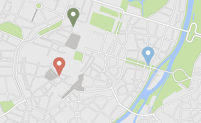 City map with some location tagsfavorite_border favorite
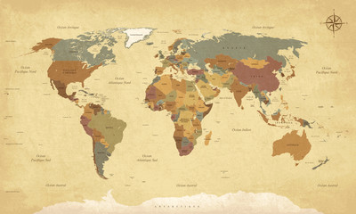 Planisphère Mappemonde Vintage - Textes en français. Vecteur CMJNfavorite_border favorite
 Red marker with a white dot on it, Location map icon vector, location Icon Clip artfavorite_border favorite
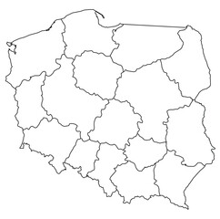 Outline of the map of Poland with regionsfavorite_border favorite
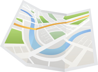 Digital image of map with directionsfavorite_border favorite
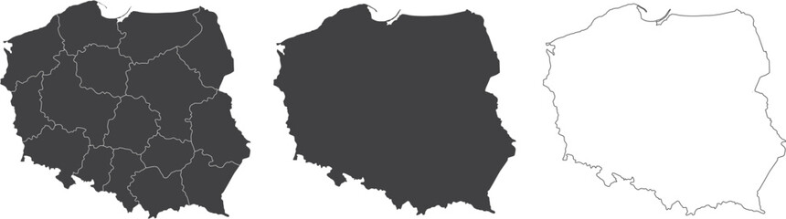 set of 3 maps of Poland - vector illustrationsfavorite_border favorite
 Egypt map in gray on a white backgroundfavorite_border favorite
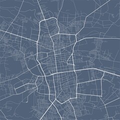 Lodz map. Lodz city map poster. Map of Lodz street, urban area.favorite_border favorite
 Illustration and pictogram of gray hatched map of the world on a transparent background.favorite_border favorite
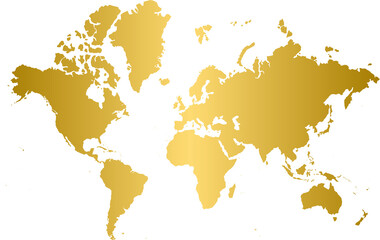 Gold world map, golden world mapfavorite_border favorite
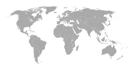 World map showing country borders. Gray world map isolated with border. Vector stock illustration.favorite_border favorite
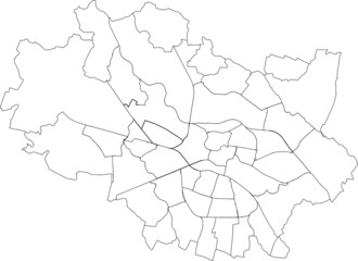 Simple blank white vector map with black borders of districts of Wroclaw, Polandfavorite_border favorite
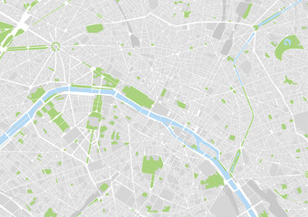 vector city map of Paris, Francefavorite_border favorite
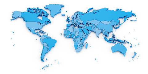 Detail world map with national borders, 3d renderfavorite_border favorite
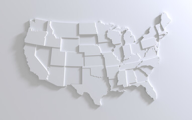 USA Empty 3d Geographic Map Abstract Levels Renderfavorite_border favorite
 Navigation icon set in flat style. Gps direction vector illustration on white isolated background. Locate pin position business concept.favorite_border favorite
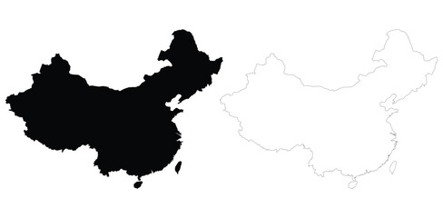 A black silhouette of China's map on the left and a white outline on the right. Minimalist and clean design.favorite_border favorite
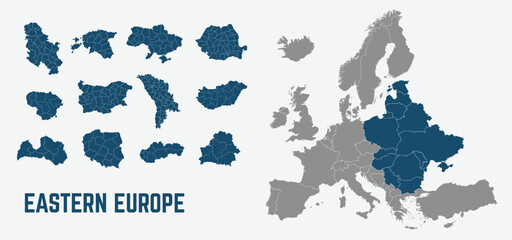 Eastern Europe map. Poland, Ukraine, Belarus, Romania, Bulgaria, Baltics states maps with regions. Europe map isolated on white background. High detailed. Vector illustrationfavorite_border favorite
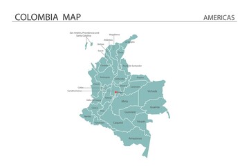 Colombia map vector illustration on white background. Map have all province and mark the capital city of Colombia.favorite_border favorite
 Close-up image of map lying on table and female hands pointing at itfavorite_border favorite
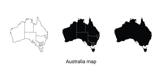 Three australia map illustrations in black and whitefavorite_border favorite
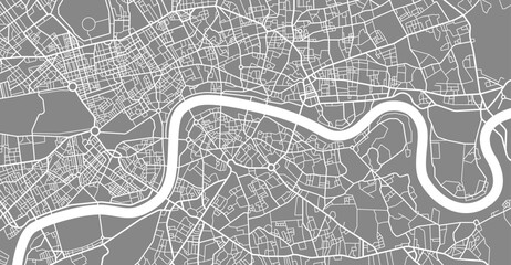 Layered editable vector illustration outline of London city map.favorite_border favorite
 map of continentfavorite_border favorite
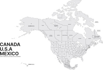 USA, Canada, Mexico border map. North America countries vector map.favorite_border favorite
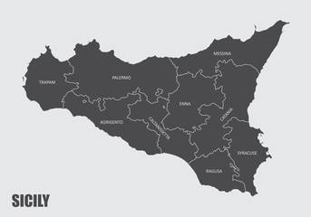 Sicily regions map with labels isolated on white backgroundfavorite_border favorite
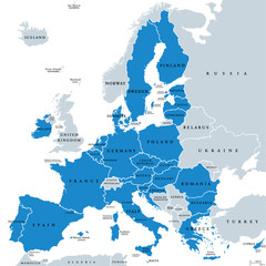 Political map of European Union member states. 27 EU member states, after United Kingdom left. Special member state territories are not included. Blue and gray illustration, English labeling. Vector.favorite_border favorite
 france map - High detailed Black map with counties/regions/states of france. france map isolated on transparent background.favorite_border favorite
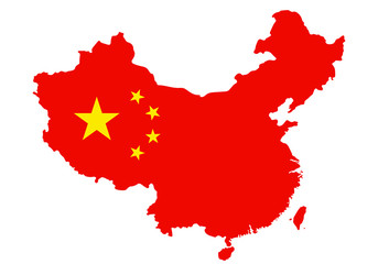 Outlined People's Republic of China map country silhouette in national flag style vector drawing template for your design.favorite_border favorite
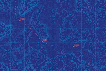 Sea Depth Topographic Map With Route And Coordinates Conceptual User Interface Blue Abstract Background. Bermuda Triangle. Topographic Cartography. Topographic Map. Topographic Atlasfavorite_border favorite
 world map illustration nightfavorite_border favorite
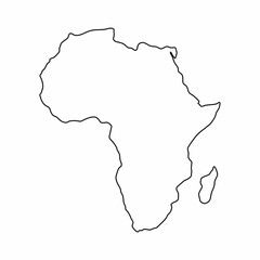 Africa map outline graphic freehand drawing on white background. Vector illustration.favorite_border favorite
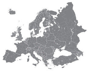 Europe vector high detailed political map with regions borders. All elements separated in detachable layersfavorite_border favorite
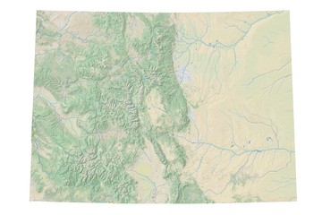 High resolution topographic map of Colorado with land cover, rivers and shaded relief in 1:1.000.000 scale.favorite_border favorite
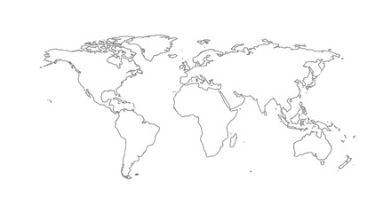 Detailed vector illustration of a world map showing continents, countries, and natural features oceans and seas .favorite_border favorite
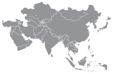 Outline of the map of Asia Continentfavorite_border favorite
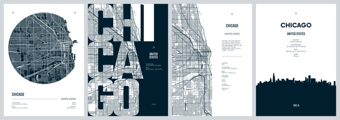 Set of travel posters with Chicago, detailed urban street plan city map, Silhouette city skyline, vector artworkfavorite_border favorite
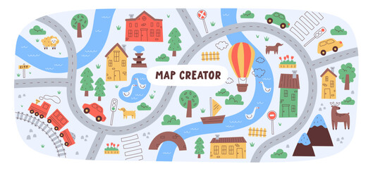 Childish city map creator seamless pattern with different transport on road and house buildingfavorite_border favorite
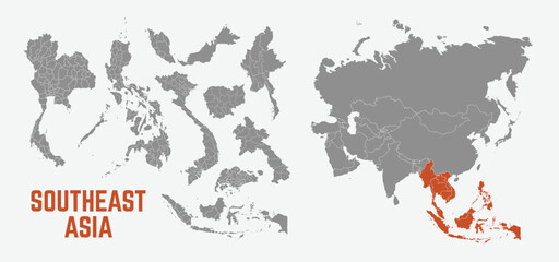 Southeast Asia map. Indonesia, Malaysia,Thailand, Laos, Philippines, Vietnam, Singapore, Cambodia maps with regions. Asia map isolated on white background. High detailed. Vector illustrationfavorite_border favorite
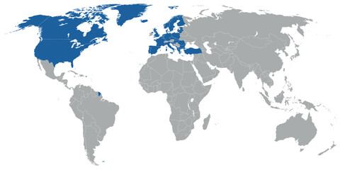 North Atlantic organization member states on map of the worldfavorite_border favorite
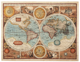 Old map (1626)favorite_border favorite
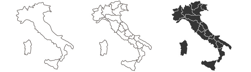 Italy map – vector illustration of regions and political bordersfavorite_border favorite
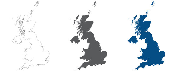 United Kingdom Regions map plain set. Map of United Kingdom in blank set.favorite_border favorite
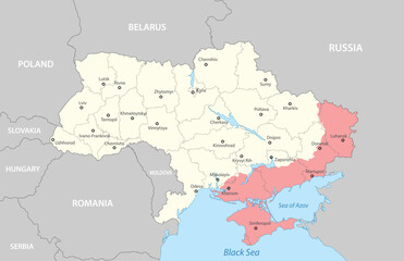 Political map of Ukraine with bordersfavorite_border favorite
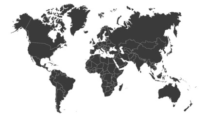 World map vector image isolated on white background. Customizable, individual country color editable.favorite_border favorite
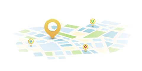 Locator position point. GPS tracking system to navigate around the city landmarks. Detailed city street map with directions to different locations. Vector illustrationfavorite_border favorite
 polandfavorite_border favorite
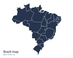 Brazil mapfavorite_border favorite
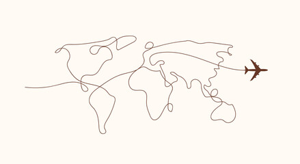 Travel by plane concept with top view airplane silhouette with single line path shaped world map behind it. Isolated on white background. Travel or vacation concept. Minimalistic vector illustration.favorite_border favorite
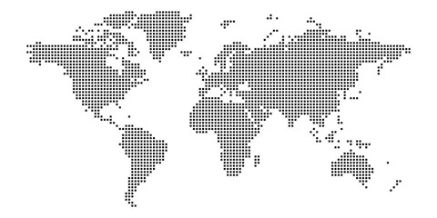 World map of squares. Simple flat vector illustrationfavorite_border favorite
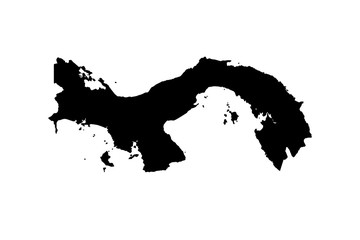 map of Panama. vectorfavorite_border favorite
 Silhouette of a female hiker reading a map while walking, outdoorsfavorite_border favorite
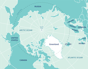 Greenland, North Pole, Arctic Ocean. Political map with the countries around the Arctic Circle 66 degrees. US, Canada, Sweden, Norway, Finland, Denmark, Iceland, Ireland, UK, Russia. Vectorfavorite_border favorite
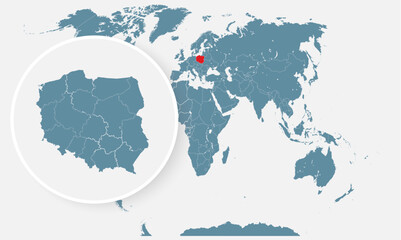 Poland country on world map, vector templatefavorite_border favorite
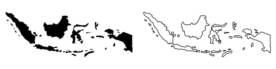 Indonesia country vector map in minimalist style. Simple black outline illustration of the country map.Indonesia silhouettes linear and black illustration. Black and white map. Vector editablefavorite_border favorite
 Map of Warsaw city with districtsfavorite_border favorite
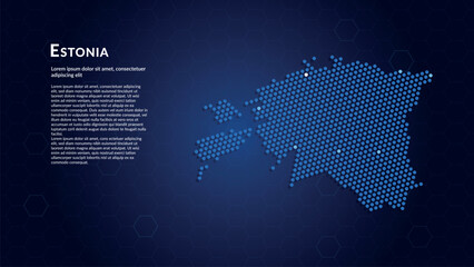 Map of Estonia. Digital dot map highlighting the country's most important cities.favorite_border favorite
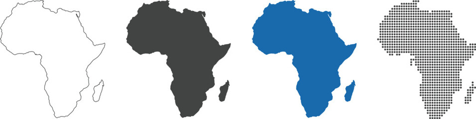 Africa map in outline, flat color, dotted stylefavorite_border favorite
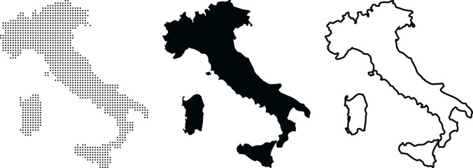 Italy country map outlines in dot fill solid silhouette and line art vector illustrationfavorite_border favorite
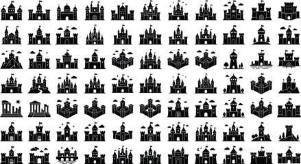 Medieval castle icons set for fantasy map design fairy tale fortress silhouette collection architecture vector elements,favorite_border favorite
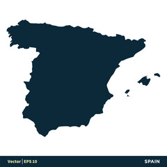 Spain - Europe Countries Map Vector Icon Template Illustration Design. Vector EPS 10.favorite_border favorite
 Green map marker icon on white background, location pin symbolfavorite_border favorite
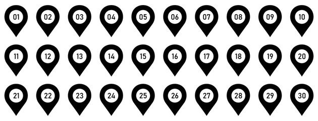 Numbered map pin location marker set with navigation, gps, waypoint, destination, locator, route, tracking and position symbols. Collection of numbered pin icons from 01 to 30.favorite_border favorite
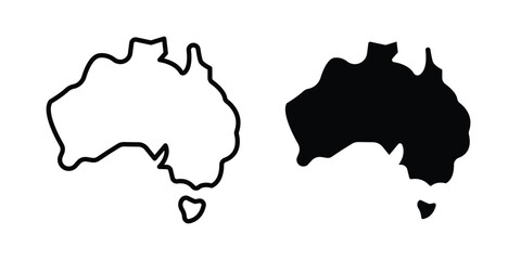 Australia map icon vector design and illustration.favorite_border favorite
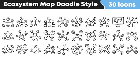 Hand drawn black and white ecosystem map doodle icon setfavorite_border favorite
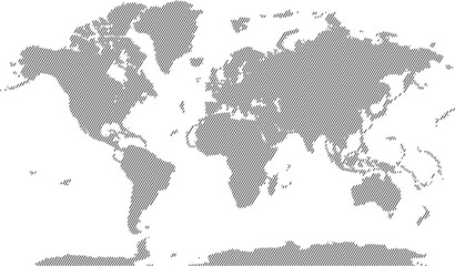 Abstract digital world map in diagonal line shape pattern stylefavorite_border favorite
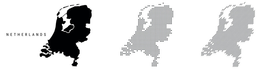 Netherlands silhouette map and two patterns of dots and slanted lines. Flat vector illustration isolated on whitefavorite_border favorite
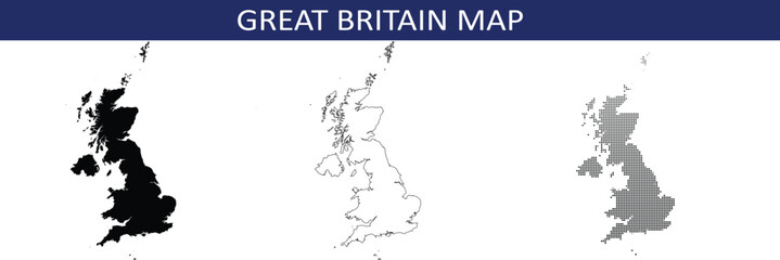 Great britain map in black, outline and halftone dots style vector illustration.favorite_border favorite
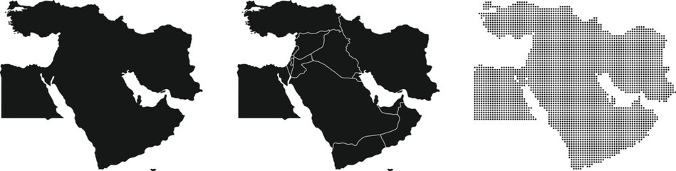 Middle East map set. Halftone dotted map. Vector Illustration.favorite_border favorite
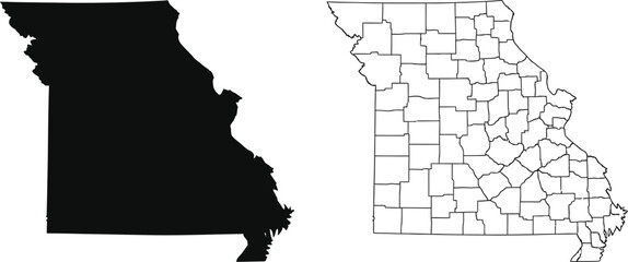 Map of missouri with counties highlightedfavorite_border favorite
 Treasure map element in black. A dashed line and red X mark ink on the map, the treasure map with a dotted line, X marks the spot, dashed line trail to an X on the leftfavorite_border favorite
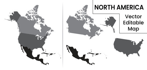 Detailed map of North America divided into Canada United States and Mexico. Useful for geography lessons travel planning and political infographics.favorite_border favorite
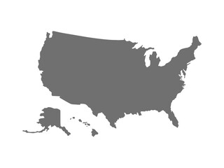 Vector illustration of a map of the United States of America isolated on a transparent background.favorite_border favorite
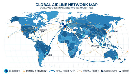 Global airline network map display.favorite_border favorite
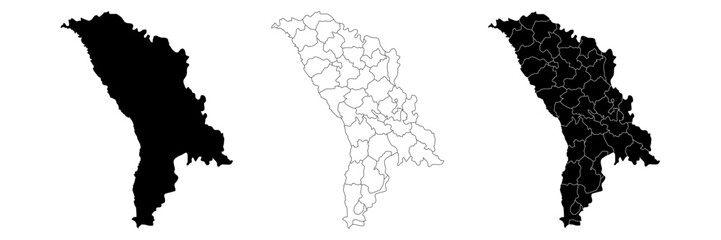 Moldova country vector map in white background.Moldova political map.Map black silhouette . Low detailed. Solid simple style.Outline black and white. Vector editable.favorite_border favorite
 Topographic map background with contour lines and abstract vector terrain patterns. Vintage elevation textures for geology research or adventure wallpaper designs.favorite_border favorite
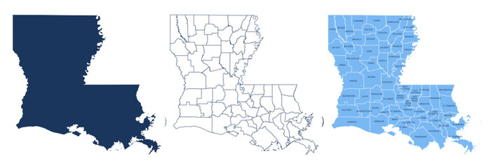 Louisiana Parishes Map with Labels – State Silhouette and Administrative Boundaries Vectorfavorite_border favorite
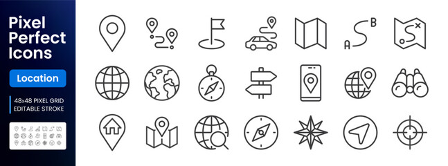 Location line icon set. Compass, travel, globe, map, geography, earth, distance, proximity minimal vector illustration. Simple outline sign for navigation app ui. 48x48 Pixel Perfect, Editable Strokefavorite_border favorite
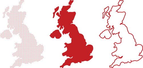 Red Map Outlines Of Great Britain Composed Of Dots Solid Fill And Outline countryfavorite_border favorite
 Modern web design and user interface navigation icon set.favorite_border favorite
 Africa map silhouette outline vector iconfavorite_border favorite
 Washington DC map outline and silhouettefavorite_border favorite
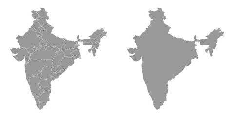 India grey map with administrative divisions. Vector illustration.favorite_border favorite
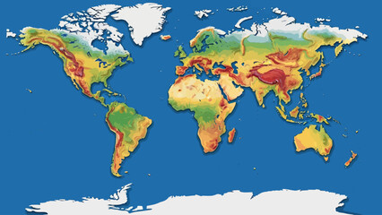 A colorful topographic map of the Earth, showing land elevations on a blue backgroundfavorite_border favorite
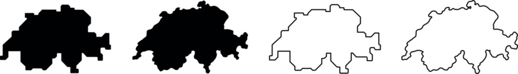 Outline maps of Switzerland in black and white silhouette and line artfavorite_border favorite
 link line connection global business concept of connections and information transfer in the worldfavorite_border favorite
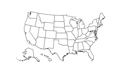 Vector map of the 48 continental USA states with raised 3D effect and clipping-path separationfavorite_border favorite
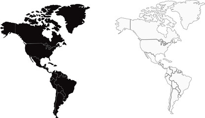 north and south america silhouett and outline map setfavorite_border favorite
 Classic location marker icon representing map pin, geolocation, navigation, and destination points for travel apps and interface design.favorite_border favorite
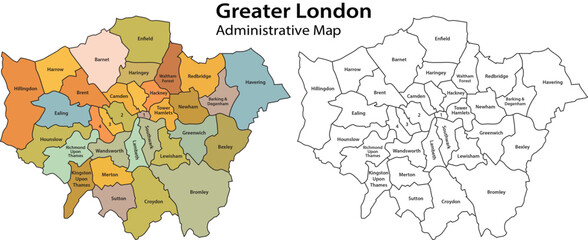 Greater london administrative map with colored and outlined boroughs on white background for navigation and planning purposes effectivelyfavorite_border favorite
 USA map, map of the United States of America with division on statesfavorite_border favorite
 Vector map illustration of Cornwall, England, UK, showing silhouette and outline sketch.favorite_border favorite
 Europe simple maps flat illustrationfavorite_border favorite
 Business road map timeline Infographic design with 6 steps. Infographic template design for business growth and milestones presentation.favorite_border favorite