-
Spain map blue white card paper 3D vector
Do ulubionych favorite_border
Usuń z ulubionych favorite
-
The detailed map of Poland with regions or states and cities, capitals. Administrative division
Do ulubionych favorite_border
Usuń z ulubionych favorite
-
Do ulubionych favorite_border
Usuń z ulubionych favorite
-
Detailed Dotted World Map Vector
Do ulubionych favorite_border
Usuń z ulubionych favorite
-
North Carolina vector map with county boundaries (Web Mercator projection, PPT-compatible & fully editable)
Do ulubionych favorite_border
Usuń z ulubionych favorite
-
Fantasy medieval cartography map elements, vector, drawing symbols, line art illustration
Do ulubionych favorite_border
Usuń z ulubionych favorite
-
Do ulubionych favorite_border
Usuń z ulubionych favorite
-
Abstract image Europe map from point blue and glowing stars on a dark background. vector illustration. Vector eps 10.
Do ulubionych favorite_border
Usuń z ulubionych favorite
-
top view of vintage camera, notepad with fountain pen and painting on map background
Do ulubionych favorite_border
Usuń z ulubionych favorite
-
Stylized brown world map silhouette, minimalist earth continent outline, global geographic illustration for travel and educational design
Do ulubionych favorite_border
Usuń z ulubionych favorite
-
Blue planet earth isolated on transparent background. Elements of this image furnished by NASA
Do ulubionych favorite_border
Usuń z ulubionych favorite
-
The Republic of Poland map
Do ulubionych favorite_border
Usuń z ulubionych favorite
-
Background of the topographic map. Topographic map lines, contour background. Geographic abstract grid. EPS 10 vector illustration.
Do ulubionych favorite_border
Usuń z ulubionych favorite
-
Urban vector city map of Calgary, Canada
Do ulubionych favorite_border
Usuń z ulubionych favorite
-
Weltkarte mit vernetzten Länder
Do ulubionych favorite_border
Usuń z ulubionych favorite
-
Do ulubionych favorite_border
Usuń z ulubionych favorite
-
Do ulubionych favorite_border
Usuń z ulubionych favorite
-
Global network connection. World map point and line composition concept of global business. Vector Illustration
Do ulubionych favorite_border
Usuń z ulubionych favorite
-
Vector city map of Quetta showing detailed highways and urban layout in zoomed view with city streets and infrastructure.
Do ulubionych favorite_border
Usuń z ulubionych favorite
-
3d illustration, Middle east region map with Iran. Map of Iran a symbol of conflict
Do ulubionych favorite_border
Usuń z ulubionych favorite
-
USA map icon, outline style
Do ulubionych favorite_border
Usuń z ulubionych favorite
-
Vector illustration with map of Canary Islands, Gran Canaria, Spain
Do ulubionych favorite_border
Usuń z ulubionych favorite
-
Red map of Canada on the white background
Do ulubionych favorite_border
Usuń z ulubionych favorite
-
Africa Map African Border Continent Variations
Do ulubionych favorite_border
Usuń z ulubionych favorite
-
Vector maps set. High detailed 28 maps of European Union countries (member states) with administrative division and cities. Political map, map of Europe , world map, globe, infographic elements.
Do ulubionych favorite_border
Usuń z ulubionych favorite
-
Poland - infographic map and flag illustration
Do ulubionych favorite_border
Usuń z ulubionych favorite
-
Do ulubionych favorite_border
Usuń z ulubionych favorite
-
Location EV charging station location mark on gps navigation map a lot with fast supercharger station. Path turns and destination tag or mark. Huge city top view Tracking path, route. vector isometric
Do ulubionych favorite_border
Usuń z ulubionych favorite
-
Earth at night from outer space with city lights on North America continent. 3D rendering illustration. Earth map texture provided by Nasa. Energy consumption, electricity, industry, ecology concepts.
Do ulubionych favorite_border
Usuń z ulubionych favorite
-
Set of TANZANIA Maps with Main Map and Regional maps
Do ulubionych favorite_border
Usuń z ulubionych favorite
-
Find your way. Location marking with a pin on a map with routes. Adventure, discovery, navigation, communication, logistics, geography, transport and travel theme concept background.
Do ulubionych favorite_border
Usuń z ulubionych favorite
-
map of Ontario province of Canada
Do ulubionych favorite_border
Usuń z ulubionych favorite
-
traveler girl hold in hands map and look sun flare, people planning trip, hipster tourist on background nature, enjoy journey landscape vacation trip, lifestyle holiday concept, sun mountain
Do ulubionych favorite_border
Usuń z ulubionych favorite
-
Scotland map illustrations in black and white solid and line art geographic outline detailed vector graphics
Do ulubionych favorite_border
Usuń z ulubionych favorite
-
Business road map timeline infographic concept with 5 step, option, process. Business Events annual business presentation. Vector illustration.
Do ulubionych favorite_border
Usuń z ulubionych favorite
-
South Africa map. Borders of South Africa for your infographic. Vector country shape. Vector illustration.
Do ulubionych favorite_border
Usuń z ulubionych favorite
-
Do ulubionych favorite_border
Usuń z ulubionych favorite
-
Global network connection. World map point and line composition concept of global business. Vector Illustration
Do ulubionych favorite_border
Usuń z ulubionych favorite
-
Do ulubionych favorite_border
Usuń z ulubionych favorite
-
Vector modern illustration. Simplified administrative map of Czech Republic. Border with nearest states Austria, Germany and etc. Blue shapes of regions. Names of cities and regions
Do ulubionych favorite_border
Usuń z ulubionych favorite
-
Pirate treasure map of skull island vector sketch
Do ulubionych favorite_border
Usuń z ulubionych favorite
-
Do ulubionych favorite_border
Usuń z ulubionych favorite
-
El mapa global representa la temperatura de la superficie de la Tierra en diferentes regiones. La escala de temperatura va desde azules fríos, hasta naranjas y rojos cálidos
Do ulubionych favorite_border
Usuń z ulubionych favorite
-
Red pin, push pin isolated on transparent background. 3D rendering
Do ulubionych favorite_border
Usuń z ulubionych favorite
-
Do ulubionych favorite_border
Usuń z ulubionych favorite
-
Vector color detailed map of Netherlands with the administrative divisions of the country, each Provinces is presented separately and divided into Municipalities
Do ulubionych favorite_border
Usuń z ulubionych favorite
-
Topographic map lines, contour background, Vector contour topographic map background. Topography and geography map grid abstract backdrop, Luxury black abstract line art.
Do ulubionych favorite_border
Usuń z ulubionych favorite
-
Flat world flora and fauna map constructor elements. Animals, birds and sea life isolated big set. Build your own geography infographics collection.
Do ulubionych favorite_border
Usuń z ulubionych favorite
-
Colorful Vector map of Europe
Do ulubionych favorite_border
Usuń z ulubionych favorite
-
World map isolated on white background
Do ulubionych favorite_border
Usuń z ulubionych favorite
-
America map,America Continent vector map in white background.America map background with country.America political map. High detailed. Solid simple style. Black and white. Vector editable.
Do ulubionych favorite_border
Usuń z ulubionych favorite
-
high detailed vector map of Europe main rivers
Do ulubionych favorite_border
Usuń z ulubionych favorite
-
Krakow map vector poster flyer
Do ulubionych favorite_border
Usuń z ulubionych favorite
-
High-tech digital topographic map with glowing data points, GPS markers, and geospatial analytics. Technology big data and geospatial concepts. Future abstract background 3d Rendering
Do ulubionych favorite_border
Usuń z ulubionych favorite
-
World map - Asia, Australia and Pacific Ocean centered. Green hue colored on dark background. High detailed political map of World with country, capital, ocean and sea names labeling
Do ulubionych favorite_border
Usuń z ulubionych favorite
-
Black and white vector city map of Manchester with well organized separated layers.
Do ulubionych favorite_border
Usuń z ulubionych favorite
-
United States blue map outline
Do ulubionych favorite_border
Usuń z ulubionych favorite
-
A black and white outline map of the world showing continents and countries with coastlines and international borders clearly delineated.
Do ulubionych favorite_border
Usuń z ulubionych favorite
-
India map isolated on white background. India map with states. Indian background. Vector illustration
Do ulubionych favorite_border
Usuń z ulubionych favorite
-
Map mobile app planning travel. Isometric map. City map route, location symbols and navigational system mark. Vector, illustration isolated on white background.
Do ulubionych favorite_border
Usuń z ulubionych favorite
-
Vector silhouette map of dominican republic
Do ulubionych favorite_border
Usuń z ulubionych favorite
-
Norway black map on white background vector
Do ulubionych favorite_border
Usuń z ulubionych favorite
-
A generic city map with icons
Do ulubionych favorite_border
Usuń z ulubionych favorite
-
Simple route map icon with location pin. Route dash line with location pin. Route location icon, two pin sign and dotted line road, start and end journey symbol. Vector illustration. EPS 10
Do ulubionych favorite_border
Usuń z ulubionych favorite
-
Labeled U.S. map with all state names on a light blue background
Do ulubionych favorite_border
Usuń z ulubionych favorite
-
United States of America, Washington D.C. - push pin on political map - 3D illustration
Do ulubionych favorite_border
Usuń z ulubionych favorite
-
Seamless bumpy textured plastic or rubber normal map background texture. Painted plaster repeat pattern. Realistic 8k game or architecture design height or bump mapping material shader 3D rendering.
Do ulubionych favorite_border
Usuń z ulubionych favorite
-
surveyor working with forest topography map in digital tablet. land surveying
Do ulubionych favorite_border
Usuń z ulubionych favorite
-
World Map with National Flags. A colorful world map featuring national flags representing various countries, showcasing global diversity and culture.
Do ulubionych favorite_border
Usuń z ulubionych favorite
-
City map on white background 3d illustration
Do ulubionych favorite_border
Usuń z ulubionych favorite
-
map of Shanghai province of China
Do ulubionych favorite_border
Usuń z ulubionych favorite
-
Mapa Europy z granicami nazwami państw z granatowym konturem i niebieskim wypełnieniem
Do ulubionych favorite_border
Usuń z ulubionych favorite
-
Do ulubionych favorite_border
Usuń z ulubionych favorite
-
Camping and Hiking map creator. Set of flat cartoon elements for constructing summer camp activity. Vector nature clipart with mountains, lakes, trees for hiking or campfire plan. Flat illustration
Do ulubionych favorite_border
Usuń z ulubionych favorite
-
Central African Republic political map of administrative divisions
Do ulubionych favorite_border
Usuń z ulubionych favorite
-
Germany map outline view from space, globe planet earth, teal color, elements of this image courtesy of NASA
Do ulubionych favorite_border
Usuń z ulubionych favorite
-
Mediterranean Sea Region countries political map with national borders. South Europe, North Africa and Near East with national borders. English labeling and scaling. Illustration.
Do ulubionych favorite_border
Usuń z ulubionych favorite
-
World map, detailed country map of the world, Red template for annual report format, business, infographic, global tourism
Do ulubionych favorite_border
Usuń z ulubionych favorite
-
Lyon, France printable map
Do ulubionych favorite_border
Usuń z ulubionych favorite
-
World map on white background. Ultra detailed political map with country names. Vector Illustration.
Do ulubionych favorite_border
Usuń z ulubionych favorite
-
Children's map of the world with sights detailed
Do ulubionych favorite_border
Usuń z ulubionych favorite
-
Hawaii map on white background vector
Do ulubionych favorite_border
Usuń z ulubionych favorite
-
世界地図 ビジネス マップ ピンとマーカーのセット
Do ulubionych favorite_border
Usuń z ulubionych favorite
-
city map with Pin Pointers 3d rendering image
Do ulubionych favorite_border
Usuń z ulubionych favorite
-
South America map set with proportional designs – colorful, black silhouette, and outline
Do ulubionych favorite_border
Usuń z ulubionych favorite
-
Set of isolated Netherlands maps with regions. Isolated borders, departments, municipalities.
Do ulubionych favorite_border
Usuń z ulubionych favorite
-
Detailed world map - vector illustration. Highly detailed world map: countries, capitals, cities, water bodies
Do ulubionych favorite_border
Usuń z ulubionych favorite
-
Vintage world map on old parchment paper
Do ulubionych favorite_border
Usuń z ulubionych favorite
-
Navigation mapping technology, distance and turns of the path. Vector
Do ulubionych favorite_border
Usuń z ulubionych favorite
-
Blank Outline Map of the United States of America with State Borders, Including Alaska and Hawaii, for Geographic Education
Do ulubionych favorite_border
Usuń z ulubionych favorite
-
abstract geometric topographic mountain map with editable strokes in chart in black background template
Do ulubionych favorite_border
Usuń z ulubionych favorite
-
Flat Europe detail flat map with transparent coutries outlines. Europe continent. Transparent background. Euripean continent business background. Map template for infographics. Top view.
Do ulubionych favorite_border
Usuń z ulubionych favorite
-
Colorful metro scheme, railway transport or city bus map
Do ulubionych favorite_border
Usuń z ulubionych favorite
-
Georgia map vector illustration, scribble sketch Georgian
Do ulubionych favorite_border
Usuń z ulubionych favorite
-
Do ulubionych favorite_border
Usuń z ulubionych favorite
-
India map silhouette black and white outline graphic design.
Do ulubionych favorite_border
Usuń z ulubionych favorite
-
Greenland and part of the Arctic Region, gray political map. Largest island of the world situated between the North Atlantic Ocean and the Arctic Ocean, east of the Canadian Arctic Archipelago. Vector
Do ulubionych favorite_border
Usuń z ulubionych favorite
-
Do ulubionych favorite_border
Usuń z ulubionych favorite
-
Do ulubionych favorite_border
Usuń z ulubionych favorite
-
Texas map icon set. Texas map symbol isolated on white background.
Do ulubionych favorite_border
Usuń z ulubionych favorite
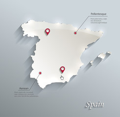 Spain map blue white card paper 3D vectorfavorite_border favorite
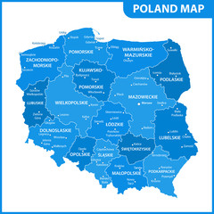 The detailed map of Poland with regions or states and cities, capitals. Administrative divisionfavorite_border favorite
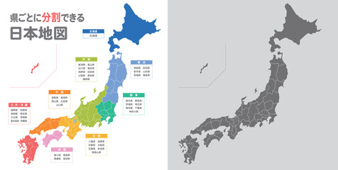 簡略化した日本地図のイラストfavorite_border favorite
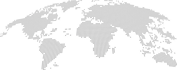 Detailed Dotted World Map Vectorfavorite_border favorite
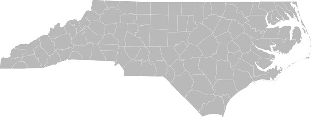 North Carolina vector map with county boundaries (Web Mercator projection, PPT-compatible & fully editable)favorite_border favorite
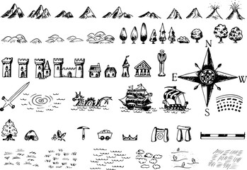 Fantasy medieval cartography map elements, vector, drawing symbols, line art illustrationfavorite_border favorite
 mapfavorite_border favorite
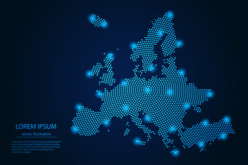 Abstract image Europe map from point blue and glowing stars on a dark background. vector illustration. Vector eps 10.favorite_border favorite
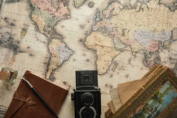 top view of vintage camera, notepad with fountain pen and painting on map backgroundfavorite_border favorite
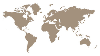 Stylized brown world map silhouette, minimalist earth continent outline, global geographic illustration for travel and educational designfavorite_border favorite
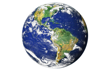 Blue planet earth isolated on transparent background. Elements of this image furnished by NASAfavorite_border favorite
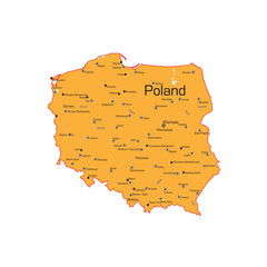 The Republic of Poland mapfavorite_border favorite
 Background of the topographic map. Topographic map lines, contour background. Geographic abstract grid. EPS 10 vector illustration.favorite_border favorite
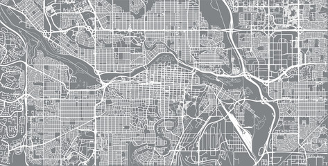 Urban vector city map of Calgary, Canadafavorite_border favorite
 Weltkarte mit vernetzten Länderfavorite_border favorite
 Line Route Iconsfavorite_border favorite
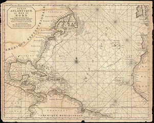 West Indies old mapfavorite_border favorite
 Global network connection. World map point and line composition concept of global business. Vector Illustrationfavorite_border favorite
 Vector city map of Quetta showing detailed highways and urban layout in zoomed view with city streets and infrastructure.favorite_border favorite
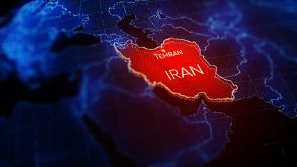 3d illustration, Middle east region map with Iran. Map of Iran a symbol of conflictfavorite_border favorite
 USA map icon, outline stylefavorite_border favorite
 Vector illustration with map of Canary Islands, Gran Canaria, Spainfavorite_border favorite
 Red map of Canada on the white backgroundfavorite_border favorite
 Africa Map African Border Continent Variationsfavorite_border favorite
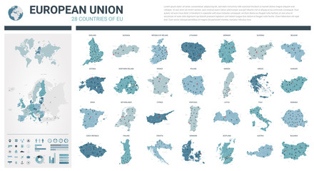 Vector maps set. High detailed 28 maps of European Union countries (member states) with administrative division and cities. Political map, map of Europe , world map, globe, infographic elements.favorite_border favorite
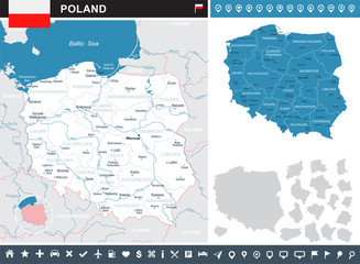 Poland - infographic map and flag illustrationfavorite_border favorite
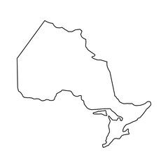 Ontario outline mapfavorite_border favorite
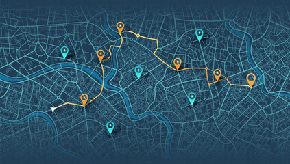 Location EV charging station location mark on gps navigation map a lot with fast supercharger station. Path turns and destination tag or mark. Huge city top view Tracking path, route. vector isometricfavorite_border favorite
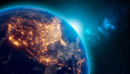 Earth at night from outer space with city lights on North America continent. 3D rendering illustration. Earth map texture provided by Nasa. Energy consumption, electricity, industry, ecology concepts.favorite_border favorite
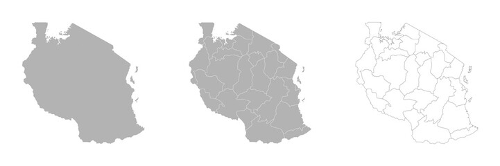 Set of TANZANIA Maps with Main Map and Regional mapsfavorite_border favorite
 Find your way. Location marking with a pin on a map with routes. Adventure, discovery, navigation, communication, logistics, geography, transport and travel theme concept background.favorite_border favorite
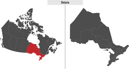 map of Ontario province of Canadafavorite_border favorite
 traveler girl hold in hands map and look sun flare, people planning trip, hipster tourist on background nature, enjoy journey landscape vacation trip, lifestyle holiday concept, sun mountainfavorite_border favorite
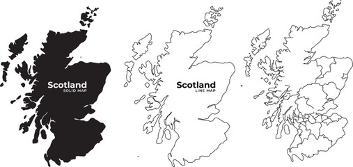 Scotland map illustrations in black and white solid and line art geographic outline detailed vector graphicsfavorite_border favorite
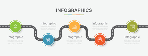 Business road map timeline infographic concept with 5 step, option, process. Business Events annual business presentation. Vector illustration.favorite_border favorite
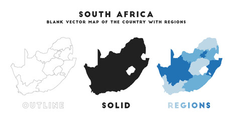 South Africa map. Borders of South Africa for your infographic. Vector country shape. Vector illustration.favorite_border favorite
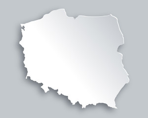 Karte von Polenfavorite_border favorite
 Global network connection. World map point and line composition concept of global business. Vector Illustrationfavorite_border favorite
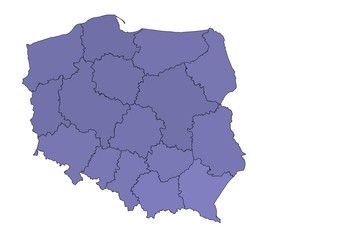 Mapa Polskifavorite_border favorite
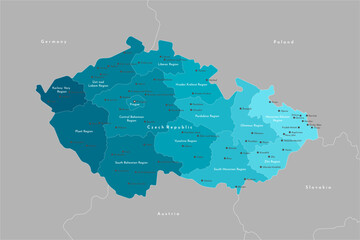 Vector modern illustration. Simplified administrative map of Czech Republic. Border with nearest states Austria, Germany and etc. Blue shapes of regions. Names of cities and regionsfavorite_border favorite
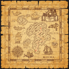 Pirate treasure map of skull island vector sketchfavorite_border favorite
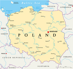 Poland Political Mapfavorite_border favorite
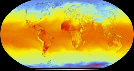 El mapa global representa la temperatura de la superficie de la Tierra en diferentes regiones. La escala de temperatura va desde azules fríos, hasta naranjas y rojos cálidosfavorite_border favorite
 Red pin, push pin isolated on transparent background. 3D renderingfavorite_border favorite
 Milan city mapfavorite_border favorite
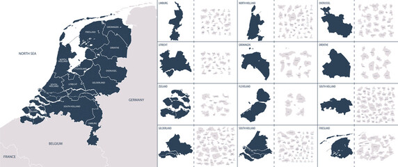 Vector color detailed map of Netherlands with the administrative divisions of the country, each Provinces is presented separately and divided into Municipalitiesfavorite_border favorite
 Topographic map lines, contour background, Vector contour topographic map background. Topography and geography map grid abstract backdrop, Luxury black abstract line art.favorite_border favorite
 Flat world flora and fauna map constructor elements. Animals, birds and sea life isolated big set. Build your own geography infographics collection.favorite_border favorite
 Colorful Vector map of Europefavorite_border favorite
 World map isolated on white backgroundfavorite_border favorite
 America map,America Continent vector map in white background.America map background with country.America political map. High detailed. Solid simple style. Black and white. Vector editable.favorite_border favorite
 high detailed vector map of Europe main riversfavorite_border favorite
 Krakow map vector poster flyerfavorite_border favorite
 High-tech digital topographic map with glowing data points, GPS markers, and geospatial analytics. Technology big data and geospatial concepts. Future abstract background 3d Renderingfavorite_border favorite
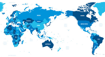 World map - Asia, Australia and Pacific Ocean centered. Green hue colored on dark background. High detailed political map of World with country, capital, ocean and sea names labelingfavorite_border favorite
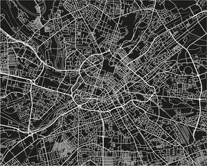 Black and white vector city map of Manchester with well organized separated layers.favorite_border favorite
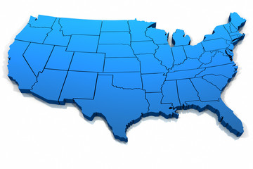 United States blue map outlinefavorite_border favorite
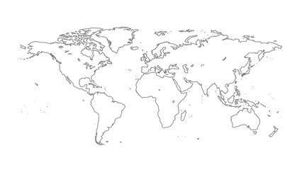 A black and white outline map of the world showing continents and countries with coastlines and international borders clearly delineated.favorite_border favorite
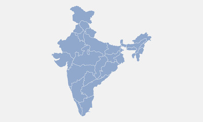 India map isolated on white background. India map with states. Indian background. Vector illustrationfavorite_border favorite
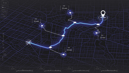 Map mobile app planning travel. Isometric map. City map route, location symbols and navigational system mark. Vector, illustration isolated on white background.favorite_border favorite
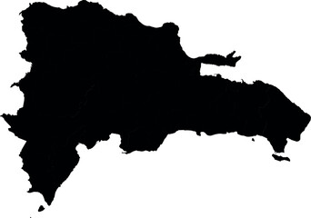 Vector silhouette map of dominican republicfavorite_border favorite
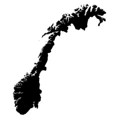 Norway black map on white background vectorfavorite_border favorite
 A generic city map with iconsfavorite_border favorite
 Simple route map icon with location pin. Route dash line with location pin. Route location icon, two pin sign and dotted line road, start and end journey symbol. Vector illustration. EPS 10favorite_border favorite
 Labeled U.S. map with all state names on a light blue backgroundfavorite_border favorite
 United States of America, Washington D.C. - push pin on political map - 3D illustrationfavorite_border favorite
 Seamless bumpy textured plastic or rubber normal map background texture. Painted plaster repeat pattern. Realistic 8k game or architecture design height or bump mapping material shader 3D rendering.favorite_border favorite
 surveyor working with forest topography map in digital tablet. land surveyingfavorite_border favorite
 World Map with National Flags. A colorful world map featuring national flags representing various countries, showcasing global diversity and culture.favorite_border favorite
 City map on white background 3d illustrationfavorite_border favorite
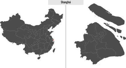 map of Shanghai province of Chinafavorite_border favorite
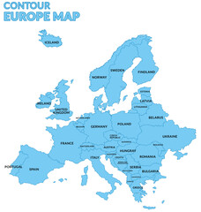 Mapa Europy z granicami nazwami państw z granatowym konturem i niebieskim wypełnieniemfavorite_border favorite
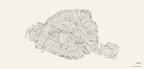 Vector map of Parisfavorite_border favorite
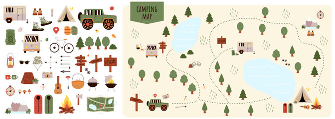 Camping and Hiking map creator. Set of flat cartoon elements for constructing summer camp activity. Vector nature clipart with mountains, lakes, trees for hiking or campfire plan. Flat illustrationfavorite_border favorite
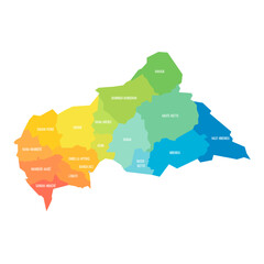 Central African Republic political map of administrative divisionsfavorite_border favorite
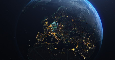 Germany map outline view from space, globe planet earth, teal color, elements of this image courtesy of NASAfavorite_border favorite
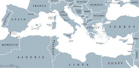 Mediterranean Sea Region countries political map with national borders. South Europe, North Africa and Near East with national borders. English labeling and scaling. Illustration.favorite_border favorite
 World map, detailed country map of the world, Red template for annual report format, business, infographic, global tourismfavorite_border favorite
 Lyon, France printable mapfavorite_border favorite
 World map on white background. Ultra detailed political map with country names. Vector Illustration.favorite_border favorite
 Children's map of the world with sights detailedfavorite_border favorite
 Hawaii map on white background vectorfavorite_border favorite
 世界地図 ビジネス マップ ピンとマーカーのセットfavorite_border favorite
 city map with Pin Pointers 3d rendering imagefavorite_border favorite
 South America map set with proportional designs – colorful, black silhouette, and outlinefavorite_border favorite
 Set of isolated Netherlands maps with regions. Isolated borders, departments, municipalities.favorite_border favorite
 Detailed world map - vector illustration. Highly detailed world map: countries, capitals, cities, water bodiesfavorite_border favorite
 Vintage world map on old parchment paperfavorite_border favorite
 Navigation mapping technology, distance and turns of the path. Vectorfavorite_border favorite
 Blank Outline Map of the United States of America with State Borders, Including Alaska and Hawaii, for Geographic Educationfavorite_border favorite
 abstract geometric topographic mountain map with editable strokes in chart in black background templatefavorite_border favorite
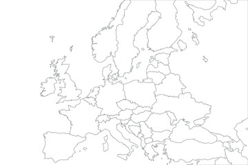 Flat Europe detail flat map with transparent coutries outlines. Europe continent. Transparent background. Euripean continent business background. Map template for infographics. Top view.favorite_border favorite
 Colorful metro scheme, railway transport or city bus mapfavorite_border favorite
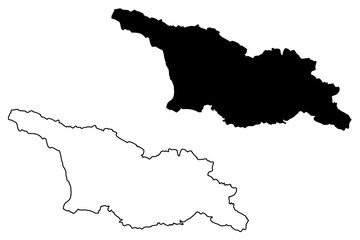 Georgia map vector illustration, scribble sketch Georgianfavorite_border favorite
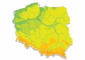 Poland, Polish mapfavorite_border favorite
 India map silhouette black and white outline graphic design.favorite_border favorite
 Greenland and part of the Arctic Region, gray political map. Largest island of the world situated between the North Atlantic Ocean and the Arctic Ocean, east of the Canadian Arctic Archipelago. Vectorfavorite_border favorite
 Map of italyfavorite_border favorite
 map of Spainfavorite_border favorite
 Texas map icon set. Texas map symbol isolated on white background.favorite_border favorite