-
Set of outline map symbols. Vector location icon
Do ulubionych favorite_border
Usuń z ulubionych favorite
-
Linear map of USA. United States of America concept map. State maps. Vector illustration
Do ulubionych favorite_border
Usuń z ulubionych favorite
-
Europe blue map big data visualization. Futuristic map infographic. Information aesthetics. Visual data complexity. Complex europe data graphic visualization. Abstract data on map graph.
Do ulubionych favorite_border
Usuń z ulubionych favorite
-
Do ulubionych favorite_border
Usuń z ulubionych favorite
-
Background of the topographic map. Topographic map lines, contour background. Geographic abstract grid. EPS 10 vector illustration.
Do ulubionych favorite_border
Usuń z ulubionych favorite
-
Find your way. Location marking with a pin on a map with routes. Adventure, discovery, navigation, communication, logistics, geography, transport and travel theme concept background.
Do ulubionych favorite_border
Usuń z ulubionych favorite
-
Do ulubionych favorite_border
Usuń z ulubionych favorite
-
Do ulubionych favorite_border
Usuń z ulubionych favorite
-
Germany map vector. High detailed vector outline, blue silhouette and administrative divisions map of Germany. All isolated on white background. Template for website, design, cover, infographics
Do ulubionych favorite_border
Usuń z ulubionych favorite
-
city map with Pin Pointers 3d rendering image
Do ulubionych favorite_border
Usuń z ulubionych favorite
-
Political map of the world vector
Do ulubionych favorite_border
Usuń z ulubionych favorite
-
Map UI elements kit. Geography position and address. GPS location isolated vector icon, bar and dashboard template. Web design widget collection for mobile application with light theme interface
Do ulubionych favorite_border
Usuń z ulubionych favorite
-
Do ulubionych favorite_border
Usuń z ulubionych favorite
-
World map. Color vector modern. Silhouette map.
Do ulubionych favorite_border
Usuń z ulubionych favorite
-
Location tracks dashboard. City street road. City streets and blocks, route distance data, path turns and destination tag or mark. Huge city top view. ector, illustration. Abstract background.
Do ulubionych favorite_border
Usuń z ulubionych favorite
-
Political World Map vector illustration isolated on white background. Editable and clearly labeled layers.
Do ulubionych favorite_border
Usuń z ulubionych favorite
-
European Union countries. English labeling. Political map with borders and country names. 28 EU members, colored in light blue. Political and economic union in Europe. Illustration over white. Vector.
Do ulubionych favorite_border
Usuń z ulubionych favorite
-
Vintage Detailed Contour Topographic Map Of Wild West Abstract Vector Background. Topographic Cartography. Topographic Map. Topographic Relief. Topography Map. Topography Relief
Do ulubionych favorite_border
Usuń z ulubionych favorite
-
Do ulubionych favorite_border
Usuń z ulubionych favorite
-
Navigation concept.map on smart phone.
Do ulubionych favorite_border
Usuń z ulubionych favorite
-
vector image of an old sea map in the style of medieval engravings
Do ulubionych favorite_border
Usuń z ulubionych favorite
-
Set of 30 outline icons related to navigation, gps, location, route. Linear icon collection. Editable stroke. Vector illustration
Do ulubionych favorite_border
Usuń z ulubionych favorite
-
City map. Town streets with park and river. Downtown gps navigation plan, abstract transportation urban vector drawing map town small road pattern texture.
Do ulubionych favorite_border
Usuń z ulubionych favorite
-
Do ulubionych favorite_border
Usuń z ulubionych favorite
-
world map vector illustration, Black and White World Map Vector illustration
Do ulubionych favorite_border
Usuń z ulubionych favorite
-
Gray world map with country borders in white outline on transparent background, political cartography simple illustration
Do ulubionych favorite_border
Usuń z ulubionych favorite
-
Do ulubionych favorite_border
Usuń z ulubionych favorite
-
old nautical treasure map background
Do ulubionych favorite_border
Usuń z ulubionych favorite
-
3d rendering continent in earth. earth rendering graphic background. europe countries map.
Do ulubionych favorite_border
Usuń z ulubionych favorite
-
City map navigation. GPS navigator. Point marker icon. Top view, view from above. Abstract background. Simple realistic map design. Landscape with river. Flat style vector illustration.
Do ulubionych favorite_border
Usuń z ulubionych favorite
-
Vector map infographic. Slide presentation. Global business marketing concept. Color country. World transportation geography data. Economic statistic template. World, America, Africa, Europe, Asia
Do ulubionych favorite_border
Usuń z ulubionych favorite
-
Full precise vector world map
Do ulubionych favorite_border
Usuń z ulubionych favorite
-
Travel planning concept on map
Do ulubionych favorite_border
Usuń z ulubionych favorite
-
Do ulubionych favorite_border
Usuń z ulubionych favorite
-
Isometric city map with people, buildings and pin pointers
Do ulubionych favorite_border
Usuń z ulubionych favorite
-
vector map flag of France isolated on white background
Do ulubionych favorite_border
Usuń z ulubionych favorite
-
Treasure map element. A dashed line and red X mark ink on the map, the treasure map with a dotted line, X marks the spot, dashed line trail to an X
Do ulubionych favorite_border
Usuń z ulubionych favorite
-
White World Map Minimalist Vector Illustration.eps
Do ulubionych favorite_border
Usuń z ulubionych favorite
-
Poland map set. Map of Poland with flag. Vector EPS 10
Do ulubionych favorite_border
Usuń z ulubionych favorite
-
world map made of colorful splashes
Do ulubionych favorite_border
Usuń z ulubionych favorite
-
3D World map of the Earth with exaggerated topographic relief and countries names and boundaries. High detailed global world physical map. Planet map with continents, countries borders, water objects
Do ulubionych favorite_border
Usuń z ulubionych favorite
-
Map and location symbols set. Mapping icon collection. Geolocation map path distance. GPS cartography position. Pinpoint, map search, route, navigator - stock vector.
Do ulubionych favorite_border
Usuń z ulubionych favorite
-
World Map vector. Blue similar world map blank vector on white background. Blue similar world map with borders of all countries, States of USA map, Provinces and territories of Canada and States and
Do ulubionych favorite_border
Usuń z ulubionych favorite
-
Do ulubionych favorite_border
Usuń z ulubionych favorite
-
Vintage pirate map constructor, vector set of elements on aged parchment background for treasure hunt, exploration and fantasy adventure. Compass roses, sea monsters, sailing ships, skulls and islands
Do ulubionych favorite_border
Usuń z ulubionych favorite
-
Spain map set of white color outline
Do ulubionych favorite_border
Usuń z ulubionych favorite
-
Spain map black on white background vector
Do ulubionych favorite_border
Usuń z ulubionych favorite
-
World map gray flat silhouette vector illustration
Do ulubionych favorite_border
Usuń z ulubionych favorite
-
Do ulubionych favorite_border
Usuń z ulubionych favorite
-
Do ulubionych favorite_border
Usuń z ulubionych favorite
-
Detailed Dotted map of the world vector illustration
Do ulubionych favorite_border
Usuń z ulubionych favorite
-
Man hand using smartphone with gps navigator map icon on blur street background.
Do ulubionych favorite_border
Usuń z ulubionych favorite
-
World Map Vintage Vector. Detailed illustration of worldmap
Do ulubionych favorite_border
Usuń z ulubionych favorite
-
Contiguous United States vector map with state boundaries (Web Mercator projection, PPT-compatible & fully editable)
Do ulubionych favorite_border
Usuń z ulubionych favorite
-
Abstract mash line and point scales on dark background with map of Poland. Wire frame 3D mesh polygonal network line, polygon design sphere, dot and structure. Vector illustration eps 10.
Do ulubionych favorite_border
Usuń z ulubionych favorite
-
4 vector political maps of Germany with regions on white background
Do ulubionych favorite_border
Usuń z ulubionych favorite
-
map of Poland with voivodeships
Do ulubionych favorite_border
Usuń z ulubionych favorite
-
Map icon with pin gps vector flat and location marker pointer place in isometric design, concept of road trip direction position symbol, travel destination trip point, city street navigator image
Do ulubionych favorite_border
Usuń z ulubionych favorite
-
3d silhouette of a global world map, sphere with continents and islands of the world monochrome vector illustration
Do ulubionych favorite_border
Usuń z ulubionych favorite
-
The Earth, World Map on dark background. Vector illustration
Do ulubionych favorite_border
Usuń z ulubionych favorite
-
Weltkarte - Hellgrau (hoher Detailgrad)
Do ulubionych favorite_border
Usuń z ulubionych favorite
-
United States of America map
Do ulubionych favorite_border
Usuń z ulubionych favorite
-
old nautical treasure map background
Do ulubionych favorite_border
Usuń z ulubionych favorite
-
America map set with states borders isolated on white. Grey coloured map set. Vector
Do ulubionych favorite_border
Usuń z ulubionych favorite
-
GPS navigator pointer on city map, navigation, logistics, geography, communication, transport, travel theme concept, location marking with a pin on a map
Do ulubionych favorite_border
Usuń z ulubionych favorite
-
Do ulubionych favorite_border
Usuń z ulubionych favorite
-
Landmarks world map vector cartoon illustration. Cartoon globe vector illustration. landmarks, signs, animals of countries and continents. Abstract map for learning. Poster, picture, card
Do ulubionych favorite_border
Usuń z ulubionych favorite
-
City map with pins. Color cartography town plan in perspective with red navigation pointers on route. Urban tourism vector concept
Do ulubionych favorite_border
Usuń z ulubionych favorite
-
Vector map of country Poland and voivodeships vol.1
Do ulubionych favorite_border
Usuń z ulubionych favorite
-
Administracyjna mapa Polski
Do ulubionych favorite_border
Usuń z ulubionych favorite
-
Do ulubionych favorite_border
Usuń z ulubionych favorite
-
Grey map of United States of America on white background. Vector illustration eps 10
Do ulubionych favorite_border
Usuń z ulubionych favorite
-
Spherical Curved Gray World Map
Do ulubionych favorite_border
Usuń z ulubionych favorite
-
Long wide panoramic background texture, sheet of grunge paper.
Do ulubionych favorite_border
Usuń z ulubionych favorite
-
World map isolated on white background
Do ulubionych favorite_border
Usuń z ulubionych favorite
-
Do ulubionych favorite_border
Usuń z ulubionych favorite
-
France map. 3d Map of France country with his coloured departments. French Republic, European
Do ulubionych favorite_border
Usuń z ulubionych favorite
-
Tourism planning and equipment needed for the trip on map
Do ulubionych favorite_border
Usuń z ulubionych favorite
-
Vector map infographic. Slide presentation. Global business marketing concept. Color country. World transportation geography data. Economic statistic template. World, America, Africa, Europe, Asia
Do ulubionych favorite_border
Usuń z ulubionych favorite
-
Simple outline of world map on transparent background
Do ulubionych favorite_border
Usuń z ulubionych favorite
-
Poland 3d map with borders Template for your design
Do ulubionych favorite_border
Usuń z ulubionych favorite
-
World map, Earth flat view from space. Physical map on global satellite photo. Elements of this image furnished by NASA.
Do ulubionych favorite_border
Usuń z ulubionych favorite
-
France map vector. High detailed vector outline, blue silhouette and administrative departments. All isolated on white background
Do ulubionych favorite_border
Usuń z ulubionych favorite
-
vector map of spain with borders of regions
Do ulubionych favorite_border
Usuń z ulubionych favorite
-
Outlined vector map of the world
Do ulubionych favorite_border
Usuń z ulubionych favorite
-
podział administracyjny polski, województwa
Do ulubionych favorite_border
Usuń z ulubionych favorite
-
Federative Republic of Brazil political map set on white background
Do ulubionych favorite_border
Usuń z ulubionych favorite
-
Do ulubionych favorite_border
Usuń z ulubionych favorite
-
europe map. vector map of european countries and capital.
Do ulubionych favorite_border
Usuń z ulubionych favorite
-
Simplified schematic map of World. Blank political map of countries. Generalized and smoothed borders. Simple flat vector illustration
Do ulubionych favorite_border
Usuń z ulubionych favorite
-
City map - town streets on the plan. Map of the scheme of road. Urban environment, architectural background. Vector
Do ulubionych favorite_border
Usuń z ulubionych favorite
-
Blue World Map Silhouette Editable Vector.
Do ulubionych favorite_border
Usuń z ulubionych favorite
-
Dotted world map for global data connection and network technology concept.
Do ulubionych favorite_border
Usuń z ulubionych favorite
-
Navigation vector icon set. location, map, GPS, place, address, pointer, direction, icons illustration
Do ulubionych favorite_border
Usuń z ulubionych favorite
-
Portugal map silhouette line country Europe map illustration vector outline European isolated on white background
Do ulubionych favorite_border
Usuń z ulubionych favorite
-
Germany map icon. Germany border. Country flag sign. Europe geography. Vector illustration.
Do ulubionych favorite_border
Usuń z ulubionych favorite
-
United States of America Blue map including State Boundaries
Do ulubionych favorite_border
Usuń z ulubionych favorite
-
Physical map of the world
Do ulubionych favorite_border
Usuń z ulubionych favorite
-
Do ulubionych favorite_border
Usuń z ulubionych favorite
-
Central Europe map. Switzerland, Germany, Poland, Hungary, Austria maps with regions. Europe map isolated on white background. High detailed. Vector illustration
Do ulubionych favorite_border
Usuń z ulubionych favorite
 Set of outline map symbols. Vector location iconfavorite_border favorite
 Linear map of USA. United States of America concept map. State maps. Vector illustrationfavorite_border favorite
 Europe blue map big data visualization. Futuristic map infographic. Information aesthetics. Visual data complexity. Complex europe data graphic visualization. Abstract data on map graph.favorite_border favorite
 Watercolor World Mapfavorite_border favorite
 Background of the topographic map. Topographic map lines, contour background. Geographic abstract grid. EPS 10 vector illustration.favorite_border favorite
 Find your way. Location marking with a pin on a map with routes. Adventure, discovery, navigation, communication, logistics, geography, transport and travel theme concept background.favorite_border favorite
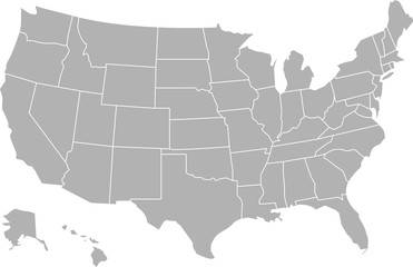 USA mapfavorite_border favorite
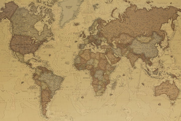 Ancient world mapfavorite_border favorite
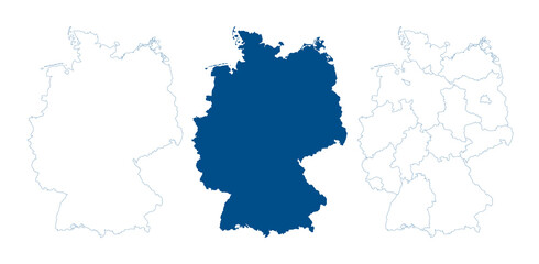 Germany map vector. High detailed vector outline, blue silhouette and administrative divisions map of Germany. All isolated on white background. Template for website, design, cover, infographicsfavorite_border favorite
 city map with Pin Pointers 3d rendering imagefavorite_border favorite
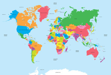 Political map of the world vectorfavorite_border favorite
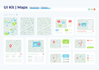 Map UI elements kit. Geography position and address. GPS location isolated vector icon, bar and dashboard template. Web design widget collection for mobile application with light theme interfacefavorite_border favorite
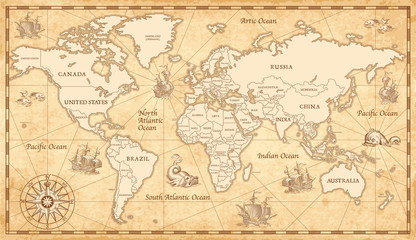 Old Vintage World Mapfavorite_border favorite
 World map. Color vector modern. Silhouette map.favorite_border favorite
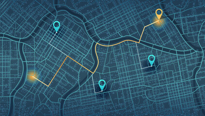 Location tracks dashboard. City street road. City streets and blocks, route distance data, path turns and destination tag or mark. Huge city top view. ector, illustration. Abstract background.favorite_border favorite
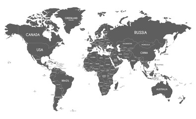 Political World Map vector illustration isolated on white background. Editable and clearly labeled layers.favorite_border favorite
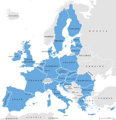 European Union countries. English labeling. Political map with borders and country names. 28 EU members, colored in light blue. Political and economic union in Europe. Illustration over white. Vector.favorite_border favorite
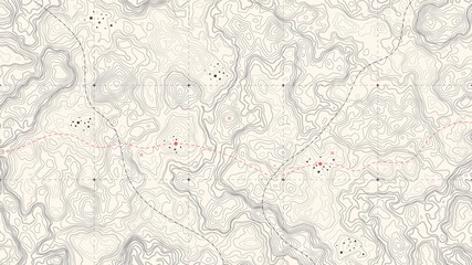 Vintage Detailed Contour Topographic Map Of Wild West Abstract Vector Background. Topographic Cartography. Topographic Map. Topographic Relief. Topography Map. Topography Relieffavorite_border favorite
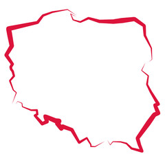 Mapa Polskifavorite_border favorite
 Navigation concept.map on smart phone.favorite_border favorite
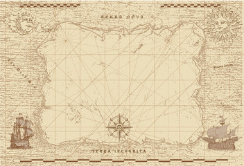 vector image of an old sea map in the style of medieval engravingsfavorite_border favorite
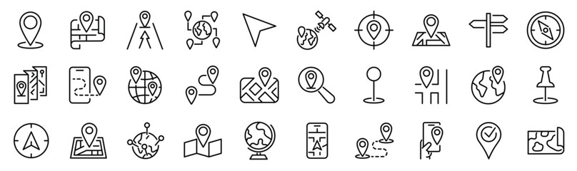 Set of 30 outline icons related to navigation, gps, location, route. Linear icon collection. Editable stroke. Vector illustrationfavorite_border favorite
 City map. Town streets with park and river. Downtown gps navigation plan, abstract transportation urban vector drawing map town small road pattern texture.favorite_border favorite
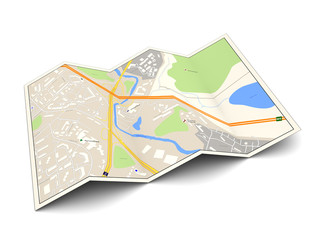 city mapfavorite_border favorite
 world map vector illustration, Black and White World Map Vector illustrationfavorite_border favorite
 Gray world map with country borders in white outline on transparent background, political cartography simple illustrationfavorite_border favorite
 Europafavorite_border favorite
 old nautical treasure map backgroundfavorite_border favorite
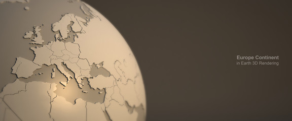 3d rendering continent in earth. earth rendering graphic background. europe countries map.favorite_border favorite
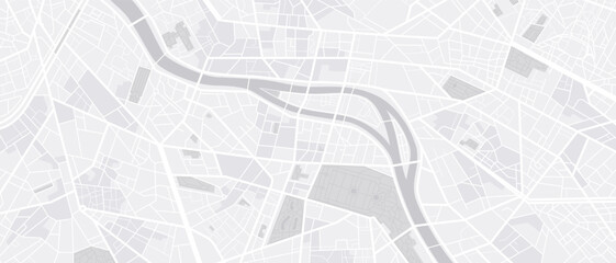 City map navigation. GPS navigator. Point marker icon. Top view, view from above. Abstract background. Simple realistic map design. Landscape with river. Flat style vector illustration.favorite_border favorite
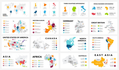 Vector map infographic. Slide presentation. Global business marketing concept. Color country. World transportation geography data. Economic statistic template. World, America, Africa, Europe, Asiafavorite_border favorite
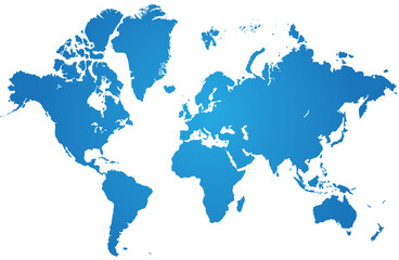 Full precise vector world mapfavorite_border favorite
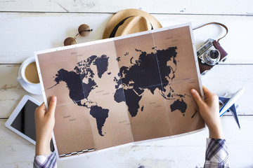 Travel planning concept on mapfavorite_border favorite
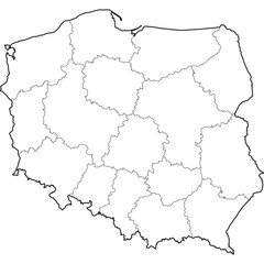 poloniafavorite_border favorite
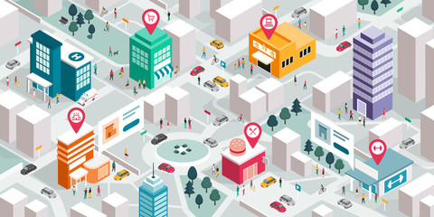 Isometric city map with people, buildings and pin pointersfavorite_border favorite
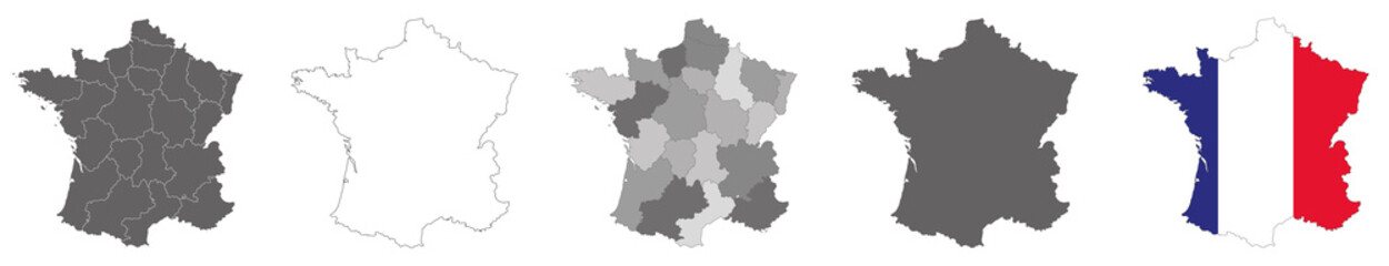 vector map flag of France isolated on white backgroundfavorite_border favorite
 Treasure map element. A dashed line and red X mark ink on the map, the treasure map with a dotted line, X marks the spot, dashed line trail to an Xfavorite_border favorite
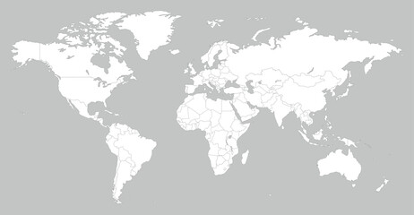 White World Map Minimalist Vector Illustration.epsfavorite_border favorite
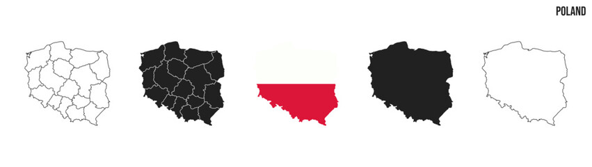 Poland map set. Map of Poland with flag. Vector EPS 10favorite_border favorite
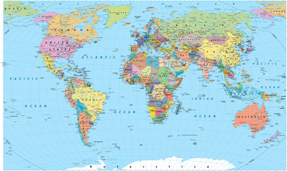 world map made of colorful splashesfavorite_border favorite
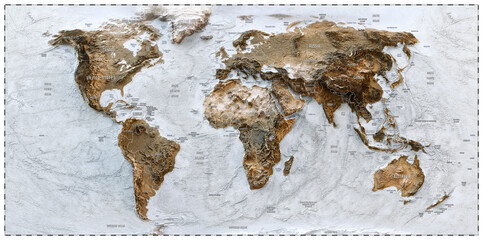 3D World map of the Earth with exaggerated topographic relief and countries names and boundaries. High detailed global world physical map. Planet map with continents, countries borders, water objectsfavorite_border favorite
 Map and location symbols set. Mapping icon collection. Geolocation map path distance. GPS cartography position. Pinpoint, map search, route, navigator - stock vector.favorite_border favorite
 World Map vector. Blue similar world map blank vector on white background. Blue similar world map with borders of all countries, States of USA map, Provinces and territories of Canada and States andfavorite_border favorite
 mapa mundofavorite_border favorite
 Vintage pirate map constructor, vector set of elements on aged parchment background for treasure hunt, exploration and fantasy adventure. Compass roses, sea monsters, sailing ships, skulls and islandsfavorite_border favorite
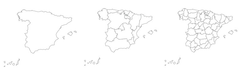 Spain map set of white color outlinefavorite_border favorite
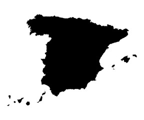 Spain map black on white background vectorfavorite_border favorite
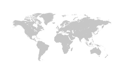 World map gray flat silhouette vector illustrationfavorite_border favorite
 Map of the world vintagefavorite_border favorite
 old map backgroundfavorite_border favorite
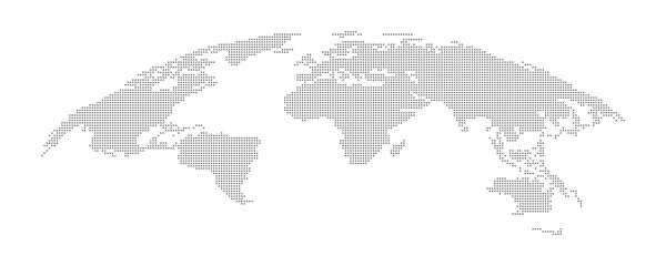 Detailed Dotted map of the world vector illustrationfavorite_border favorite
 Man hand using smartphone with gps navigator map icon on blur street background.favorite_border favorite
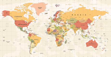 World Map Vintage Vector. Detailed illustration of worldmapfavorite_border favorite
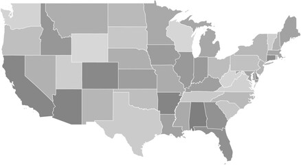 Contiguous United States vector map with state boundaries (Web Mercator projection, PPT-compatible & fully editable)favorite_border favorite
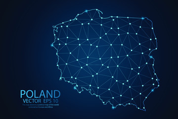 Abstract mash line and point scales on dark background with map of Poland. Wire frame 3D mesh polygonal network line, polygon design sphere, dot and structure. Vector illustration eps 10.favorite_border favorite
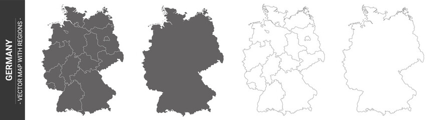 4 vector political maps of Germany with regions on white backgroundfavorite_border favorite
 map of Poland with voivodeshipsfavorite_border favorite
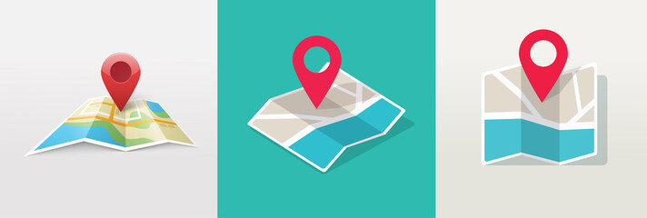 Map icon with pin gps vector flat and location marker pointer place in isometric design, concept of road trip direction position symbol, travel destination trip point, city street navigator imagefavorite_border favorite
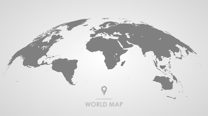 3d silhouette of a global world map, sphere with continents and islands of the world monochrome vector illustrationfavorite_border favorite
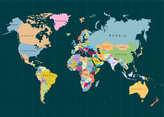 The Earth, World Map on dark background. Vector illustrationfavorite_border favorite
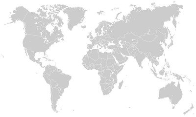 Weltkarte - Hellgrau (hoher Detailgrad)favorite_border favorite
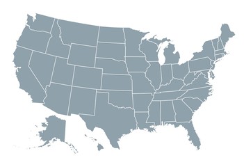 United States of America mapfavorite_border favorite
 old nautical treasure map backgroundfavorite_border favorite
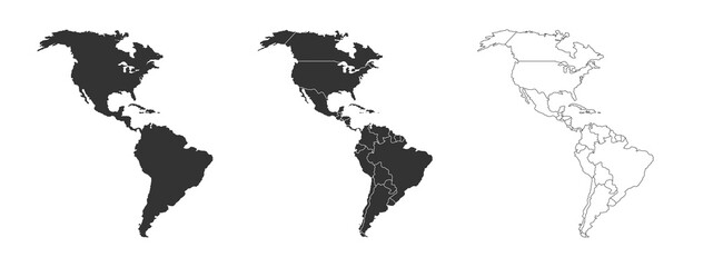 America map set with states borders isolated on white. Grey coloured map set. Vectorfavorite_border favorite
 GPS navigator pointer on city map, navigation, logistics, geography, communication, transport, travel theme concept, location marking with a pin on a mapfavorite_border favorite
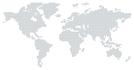 Dotted World Map - greyfavorite_border favorite
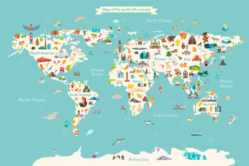 Landmarks world map vector cartoon illustration. Cartoon globe vector illustration. landmarks, signs, animals of countries and continents. Abstract map for learning. Poster, picture, cardfavorite_border favorite
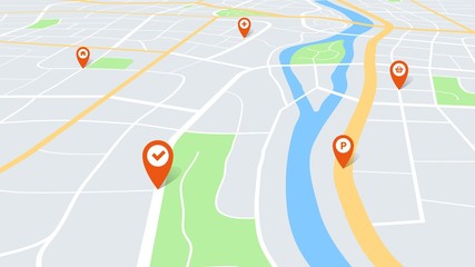 City map with pins. Color cartography town plan in perspective with red navigation pointers on route. Urban tourism vector conceptfavorite_border favorite
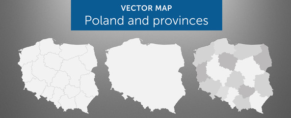 Vector map of country Poland and voivodeships vol.1favorite_border favorite
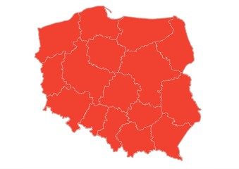 Administracyjna mapa Polskifavorite_border favorite
 Vector map illustrationfavorite_border favorite
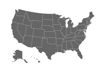 Grey map of United States of America on white background. Vector illustration eps 10favorite_border favorite
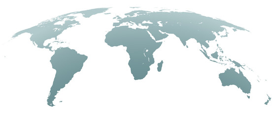 Spherical Curved Gray World Mapfavorite_border favorite
 Long wide panoramic background texture, sheet of grunge paper.favorite_border favorite
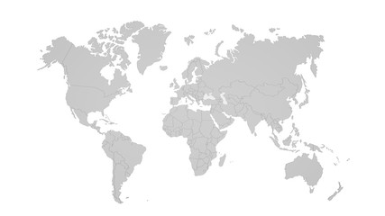 World map isolated on white backgroundfavorite_border favorite
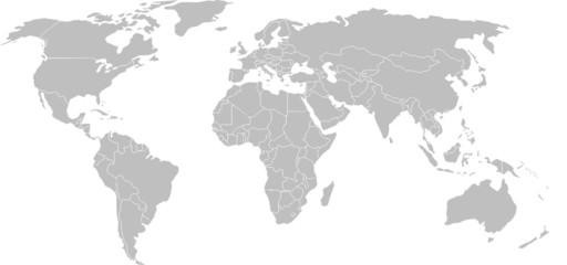 World mapfavorite_border favorite
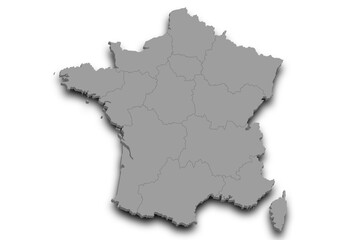 France map. 3d Map of France country with his coloured departments. French Republic, Europeanfavorite_border favorite
 Tourism planning and equipment needed for the trip on mapfavorite_border favorite
 Vector map infographic. Slide presentation. Global business marketing concept. Color country. World transportation geography data. Economic statistic template. World, America, Africa, Europe, Asiafavorite_border favorite
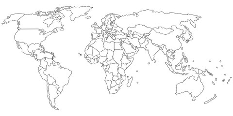 Simple outline of world map on transparent backgroundfavorite_border favorite
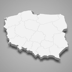 Poland 3d map with borders Template for your designfavorite_border favorite
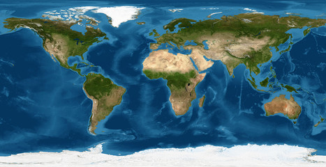 World map, Earth flat view from space. Physical map on global satellite photo. Elements of this image furnished by NASA.favorite_border favorite
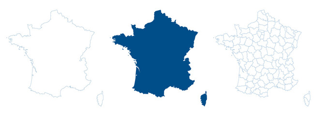 France map vector. High detailed vector outline, blue silhouette and administrative departments. All isolated on white backgroundfavorite_border favorite
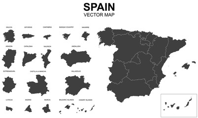 vector map of spain with borders of regionsfavorite_border favorite
 Outlined vector map of the worldfavorite_border favorite
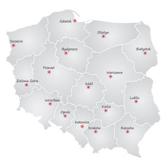 podział administracyjny polski, województwafavorite_border favorite
 Federative Republic of Brazil political map set on white backgroundfavorite_border favorite
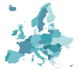 Map of Europefavorite_border favorite
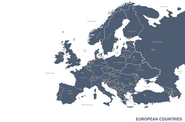 europe map. vector map of european countries and capital.favorite_border favorite
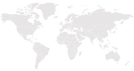 Simplified schematic map of World. Blank political map of countries. Generalized and smoothed borders. Simple flat vector illustrationfavorite_border favorite
 City map - town streets on the plan. Map of the scheme of road. Urban environment, architectural background. Vectorfavorite_border favorite
 Blue World Map Silhouette Editable Vector.favorite_border favorite
 Dotted world map for global data connection and network technology concept.favorite_border favorite
 Navigation vector icon set. location, map, GPS, place, address, pointer, direction, icons illustrationfavorite_border favorite
 Portugal map silhouette line country Europe map illustration vector outline European isolated on white backgroundfavorite_border favorite
 Germany map icon. Germany border. Country flag sign. Europe geography. Vector illustration.favorite_border favorite
 United States of America Blue map including State Boundariesfavorite_border favorite
 Physical map of the worldfavorite_border favorite
 World mapfavorite_border favorite
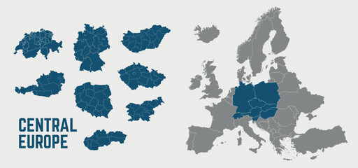 Central Europe map. Switzerland, Germany, Poland, Hungary, Austria maps with regions. Europe map isolated on white background. High detailed. Vector illustrationfavorite_border favorite